
RECAP: Shenandoah Valley Gravel Ride
While traveling with family in the Shenandoah Valley of Virginia, I was able to take along my bike and get in a spectacular ride on some of the area’s very fine gravel roads. The fine folks of the Shenandoah Valley Gravel Grinders and Northern Virginia Gravel Cycling Facebook groups were kind enough to put together a route that took in some of their favorite roads (it is a variation of this longer route) and also brought me in and out of Staunton, where our AirBnB was.
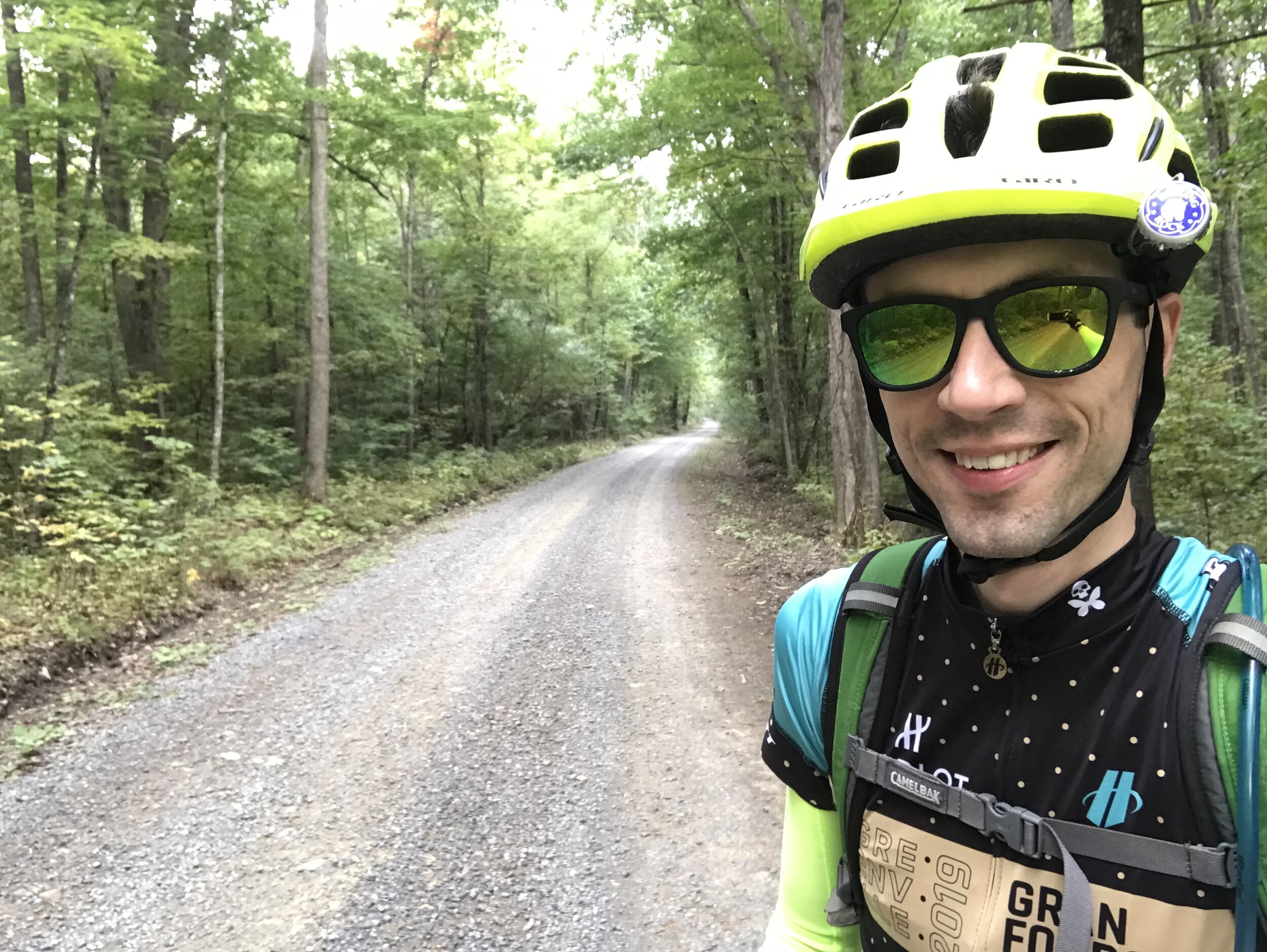
I got to ride on a fantastic early Fall day that started in the upper 50s and ended in the upper 70s. Cloudy and cool at first, there was brilliant sunshine by the end. The route was absolutely fantastic, and consisted of four main parts.
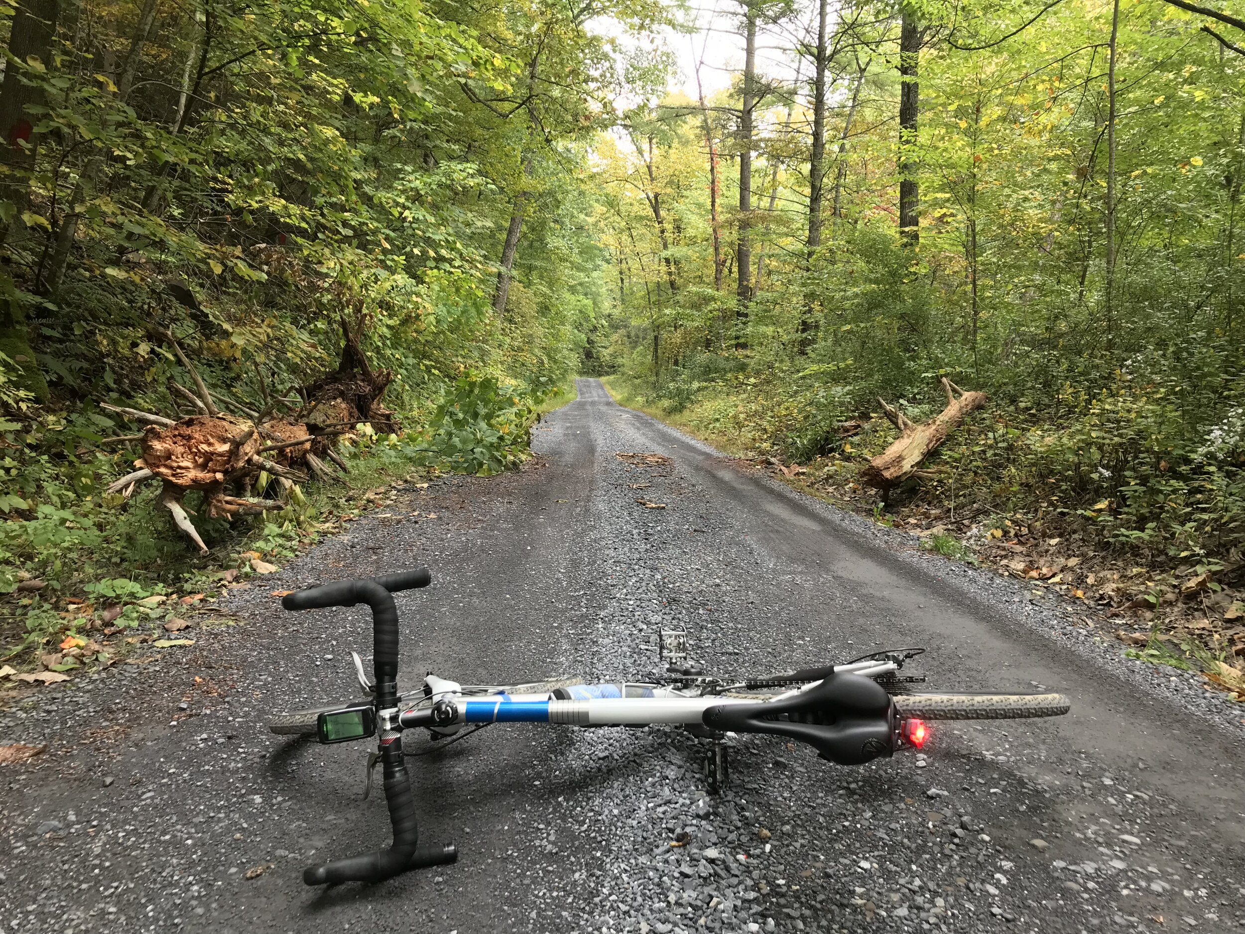
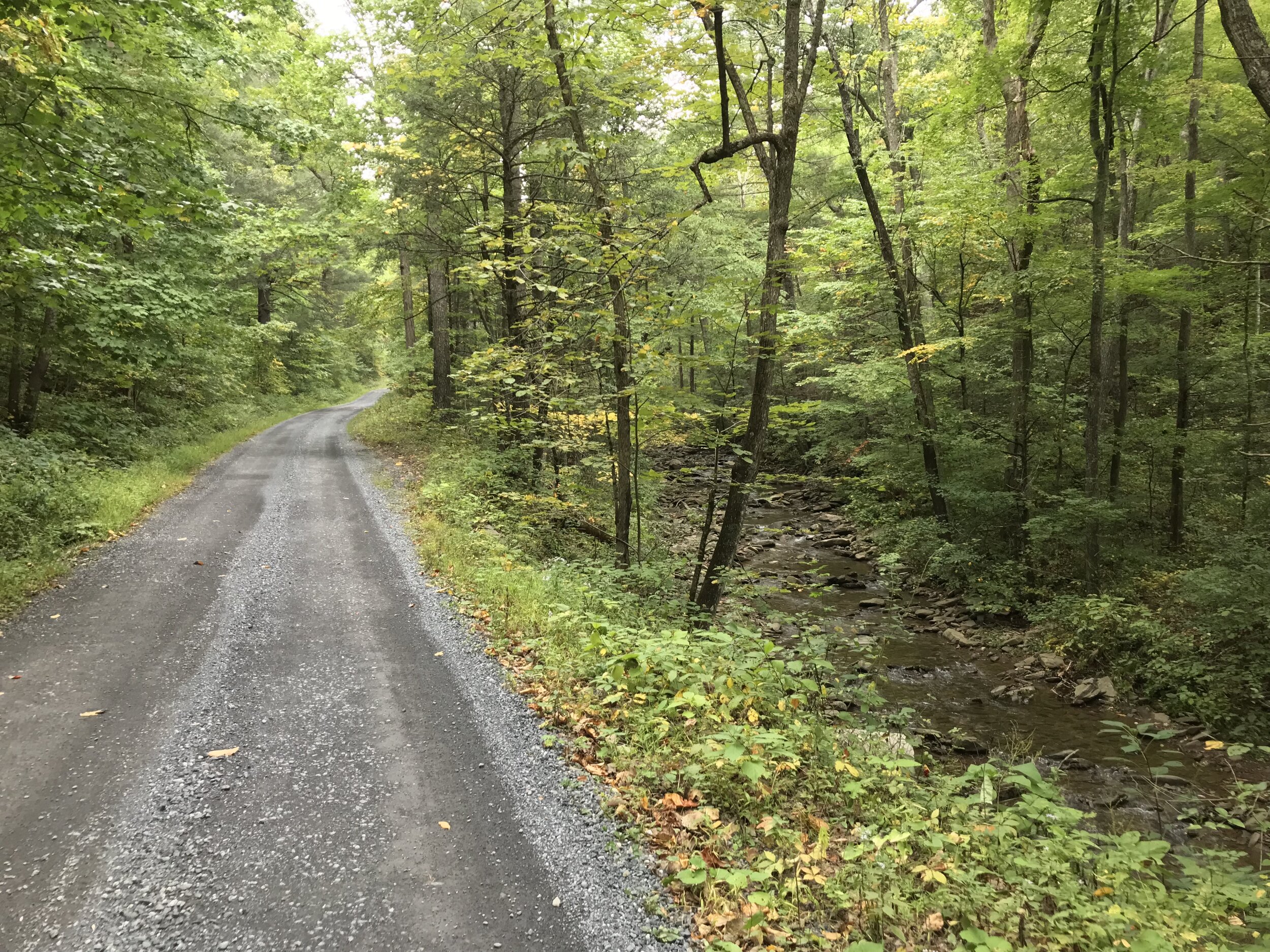
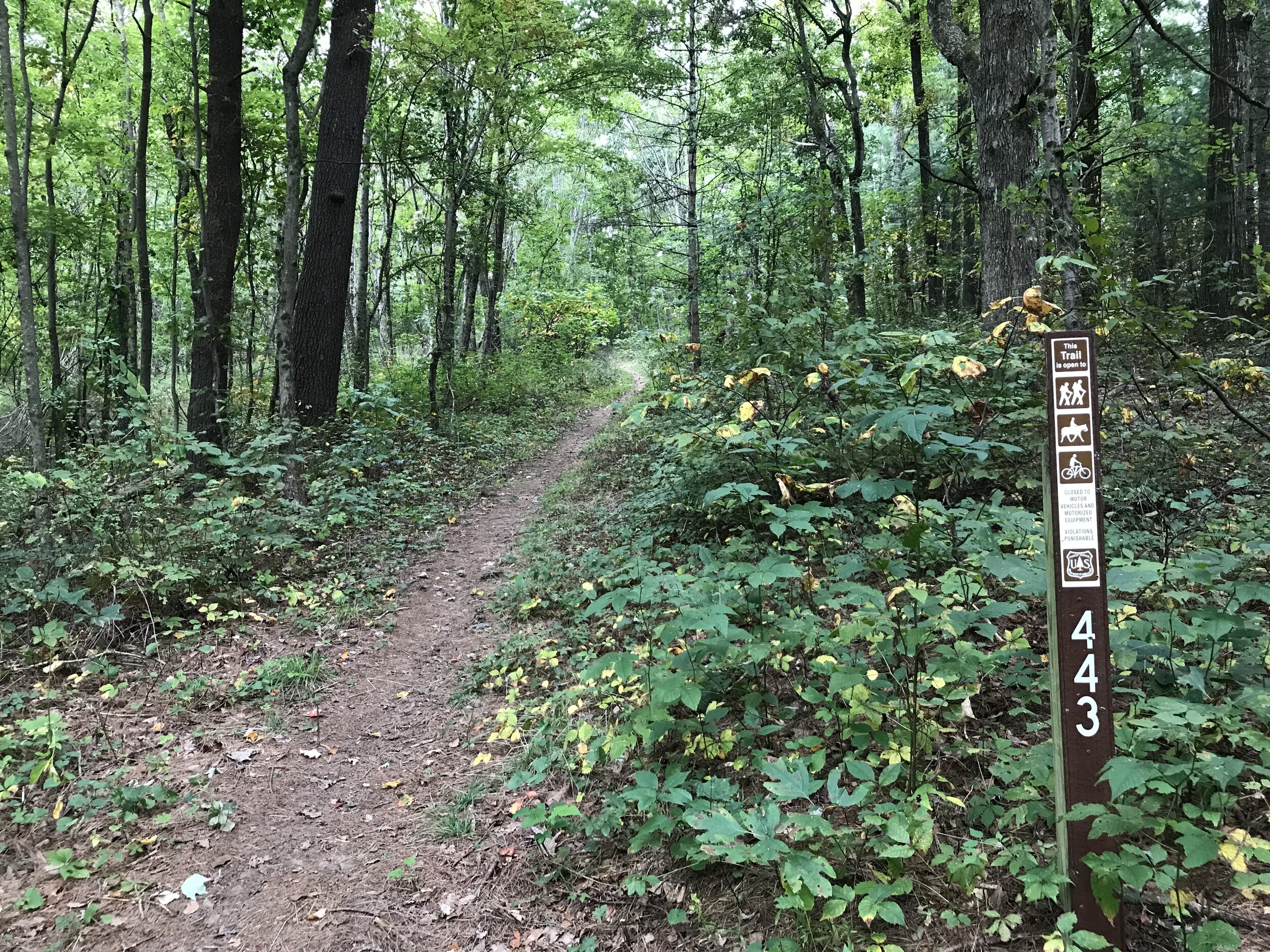
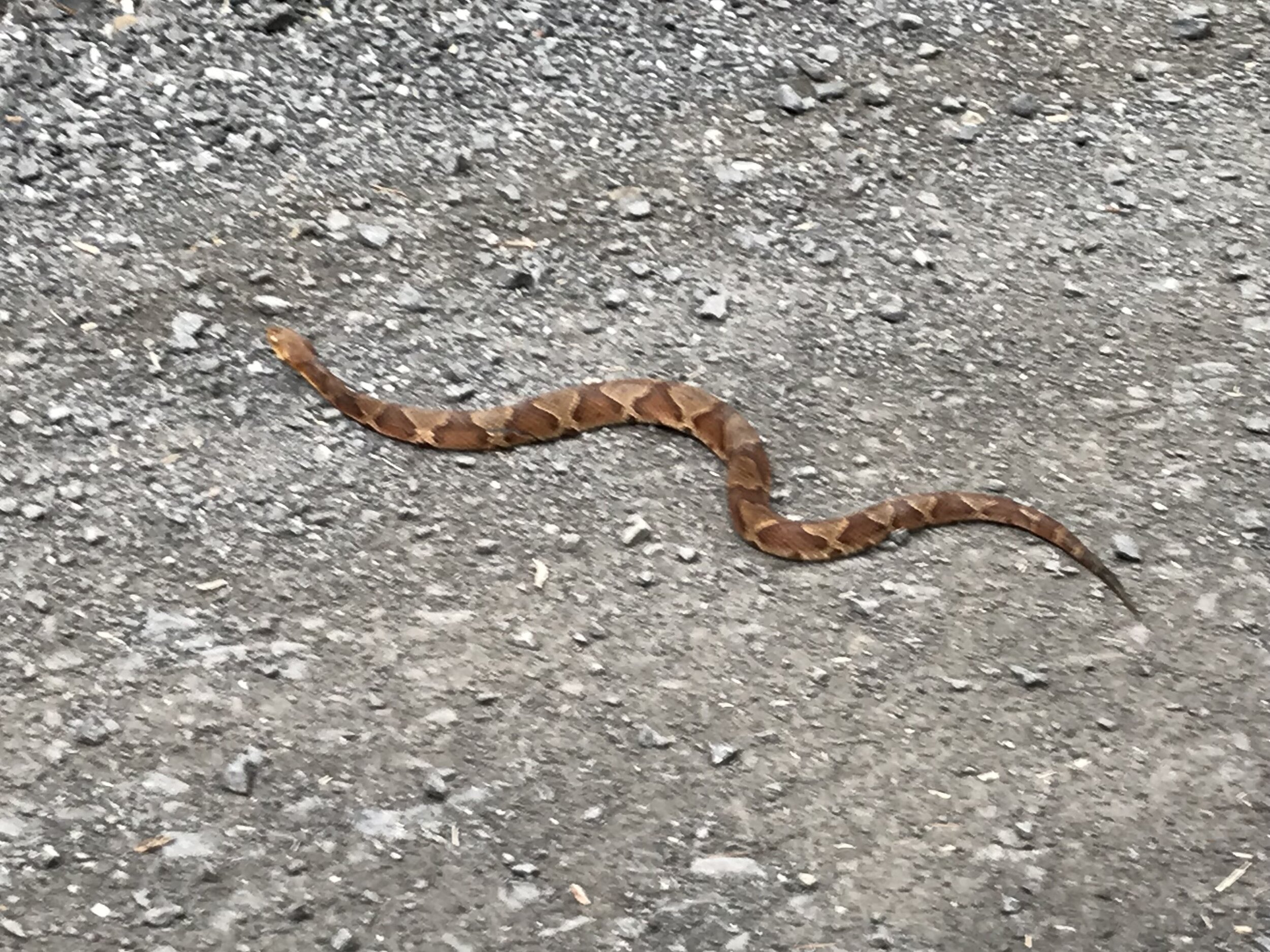
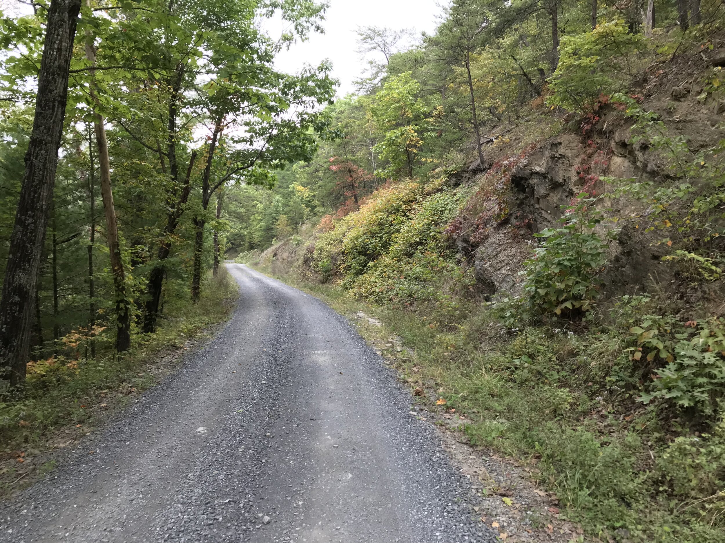
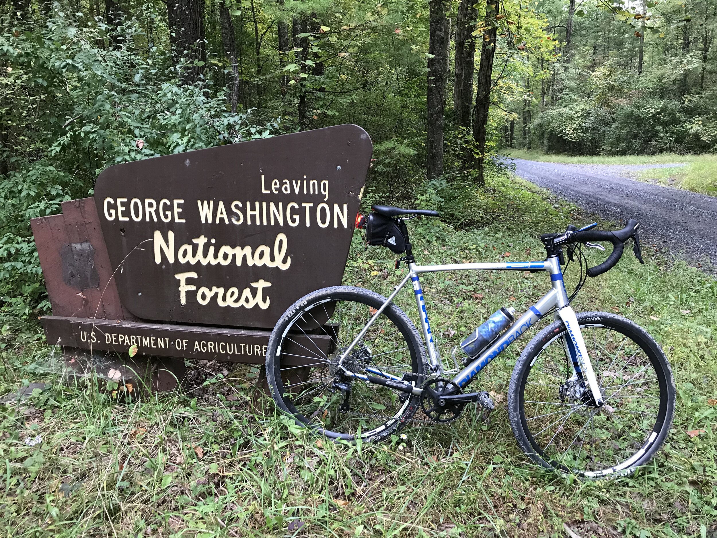
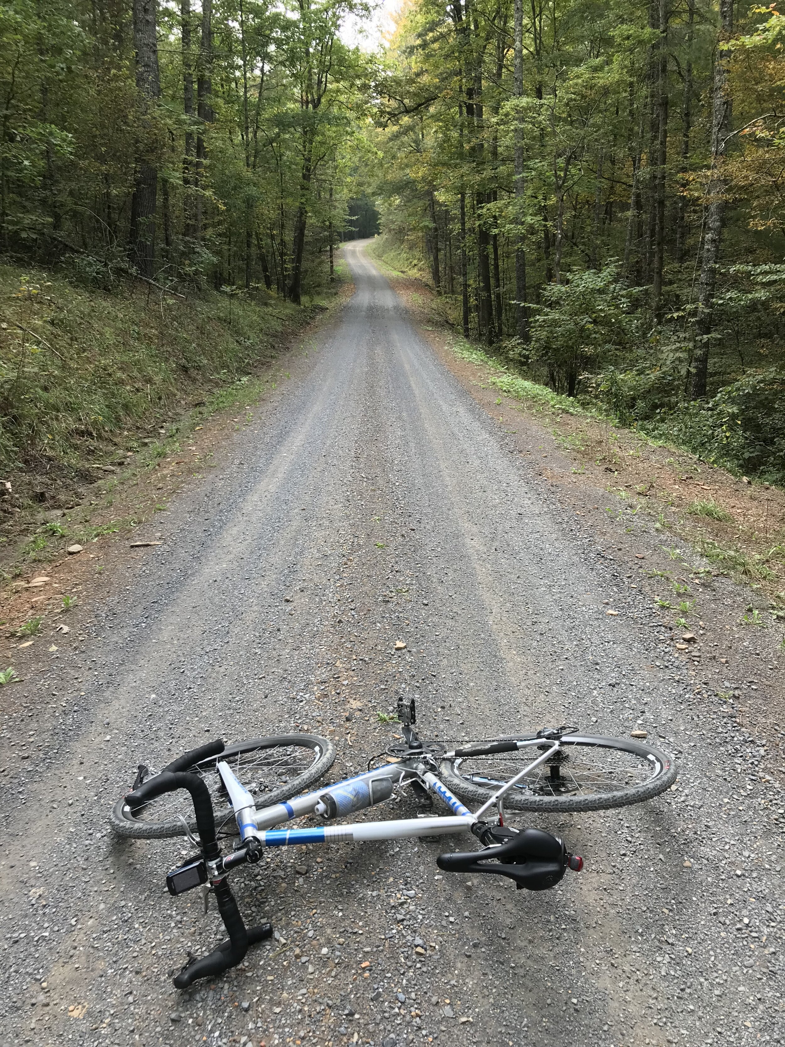
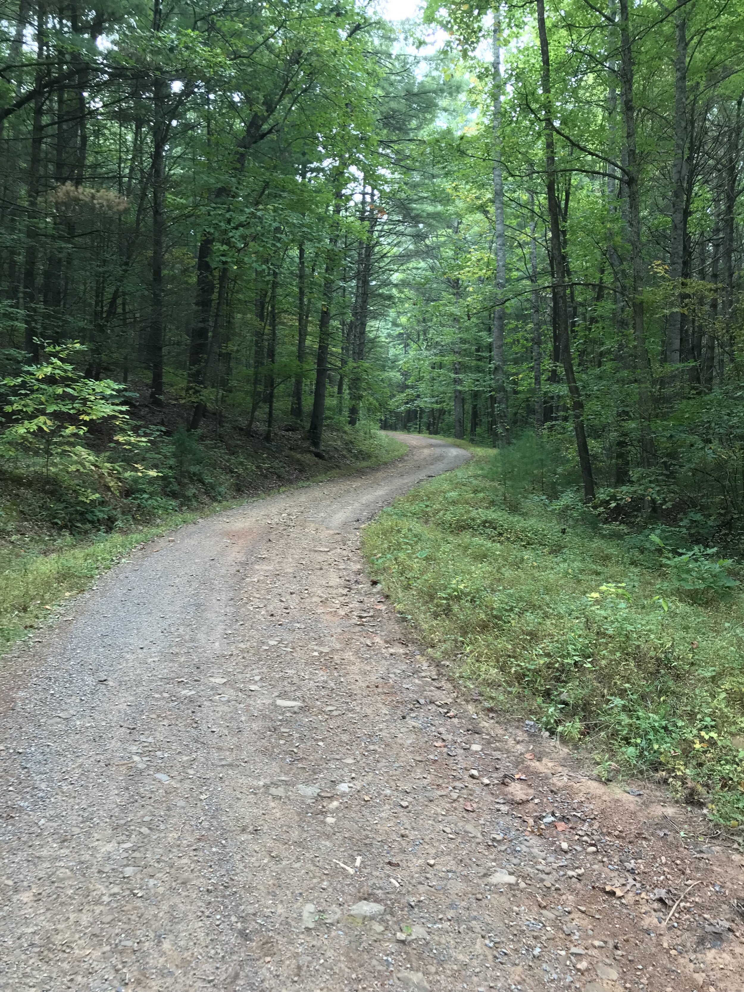
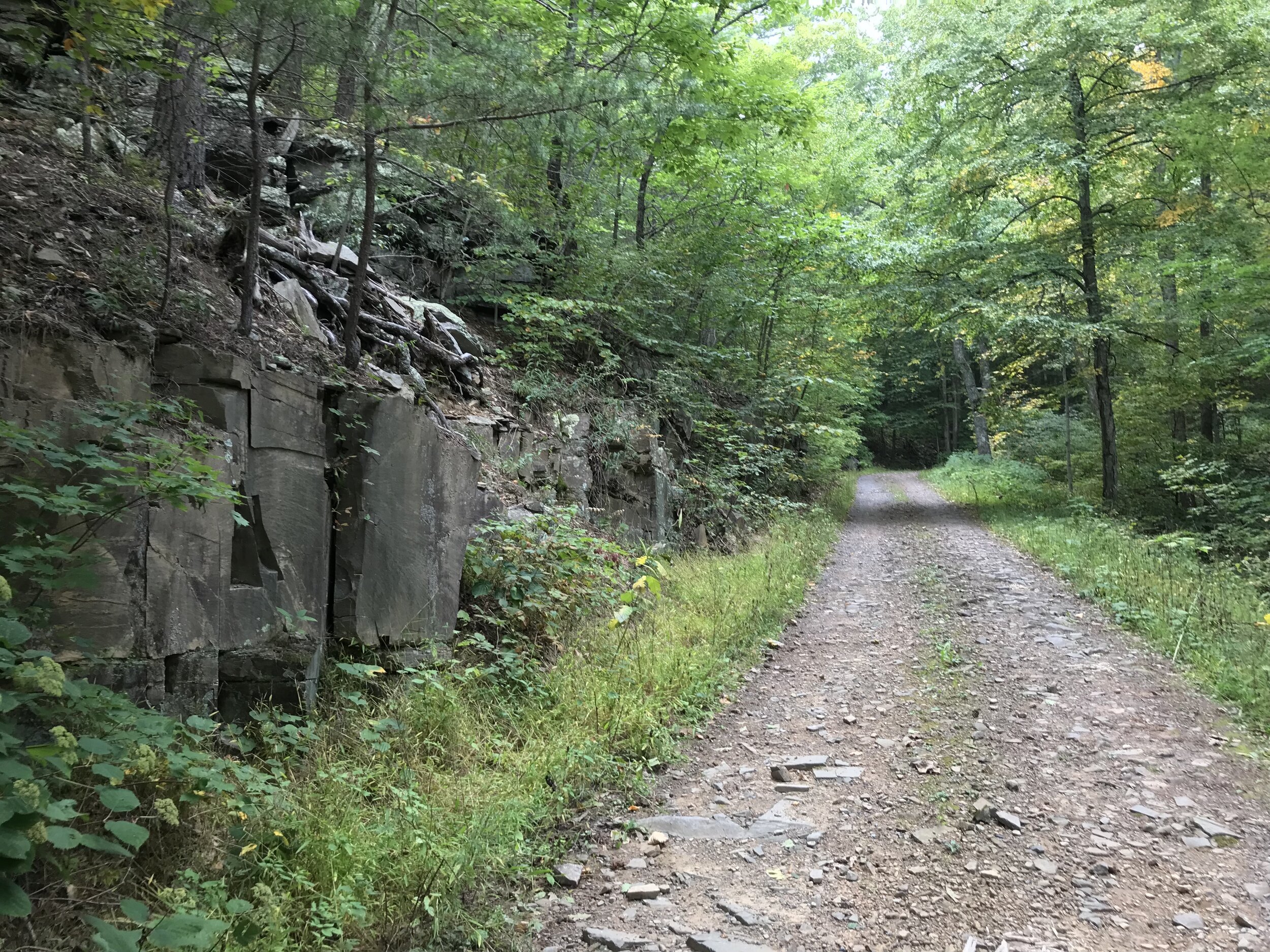
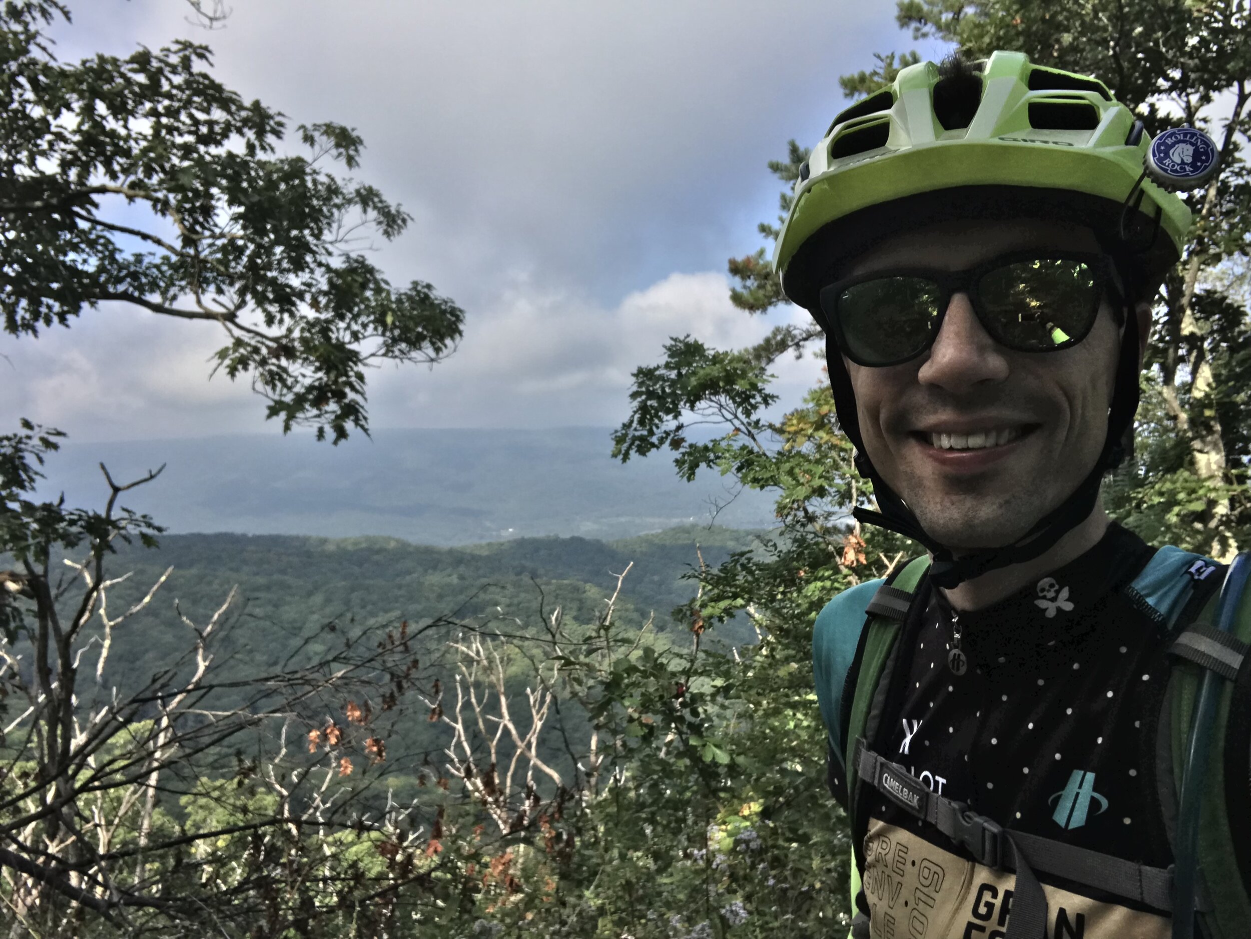
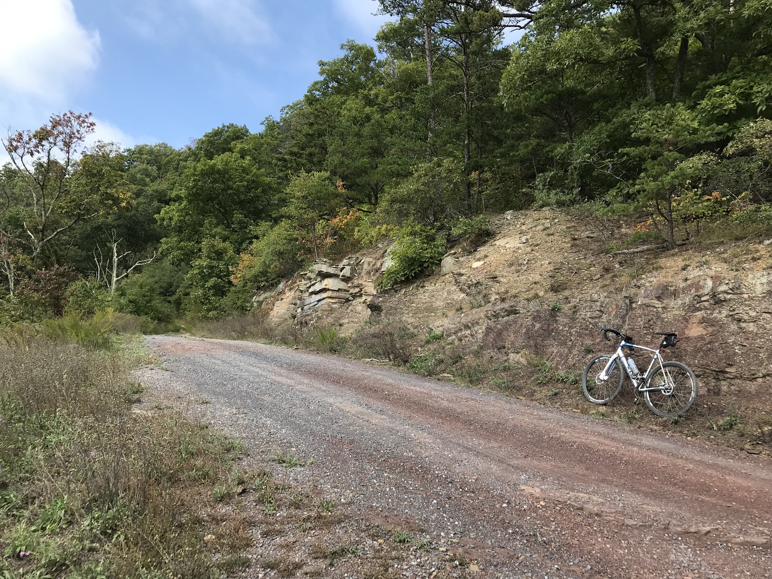
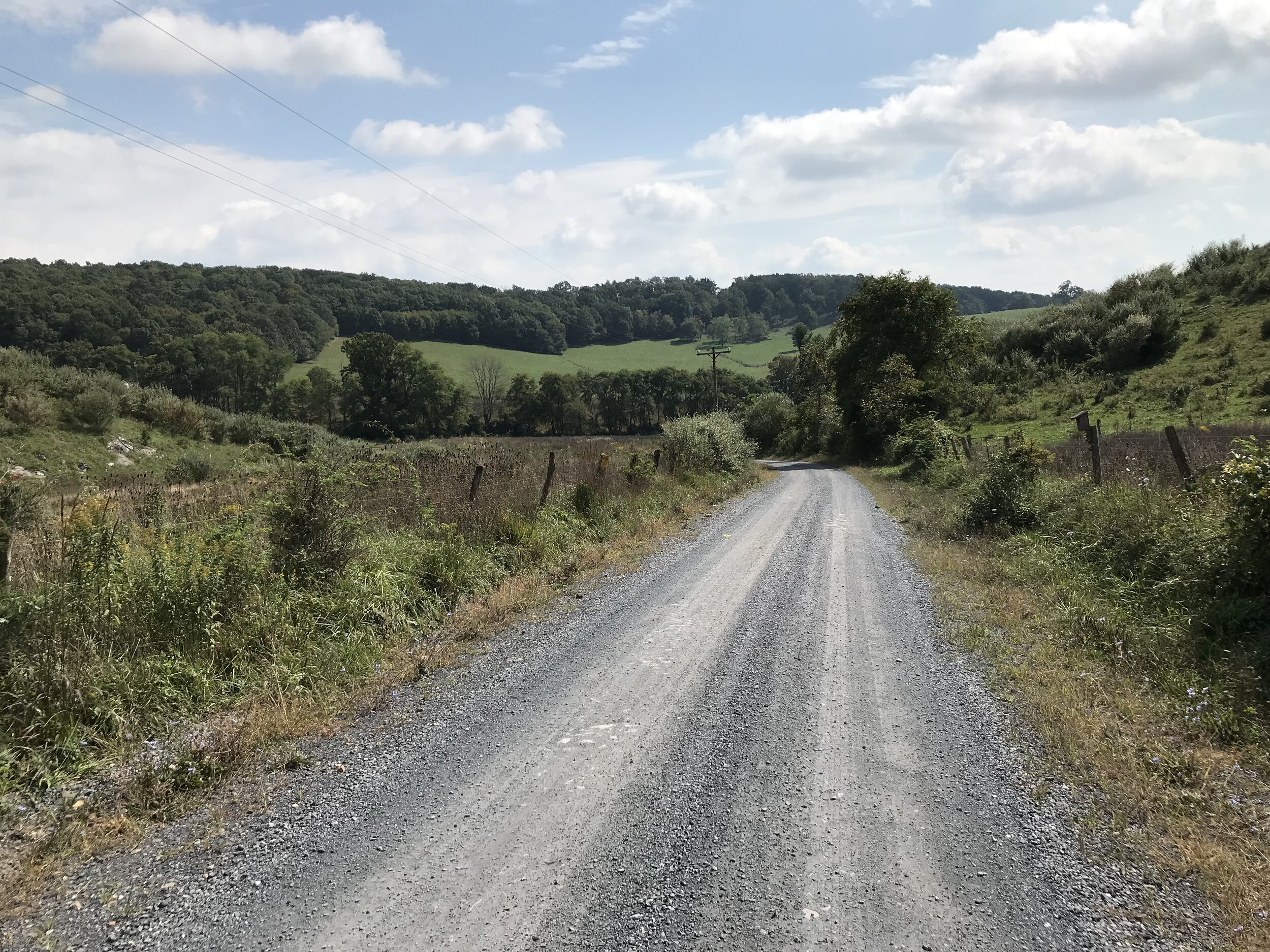
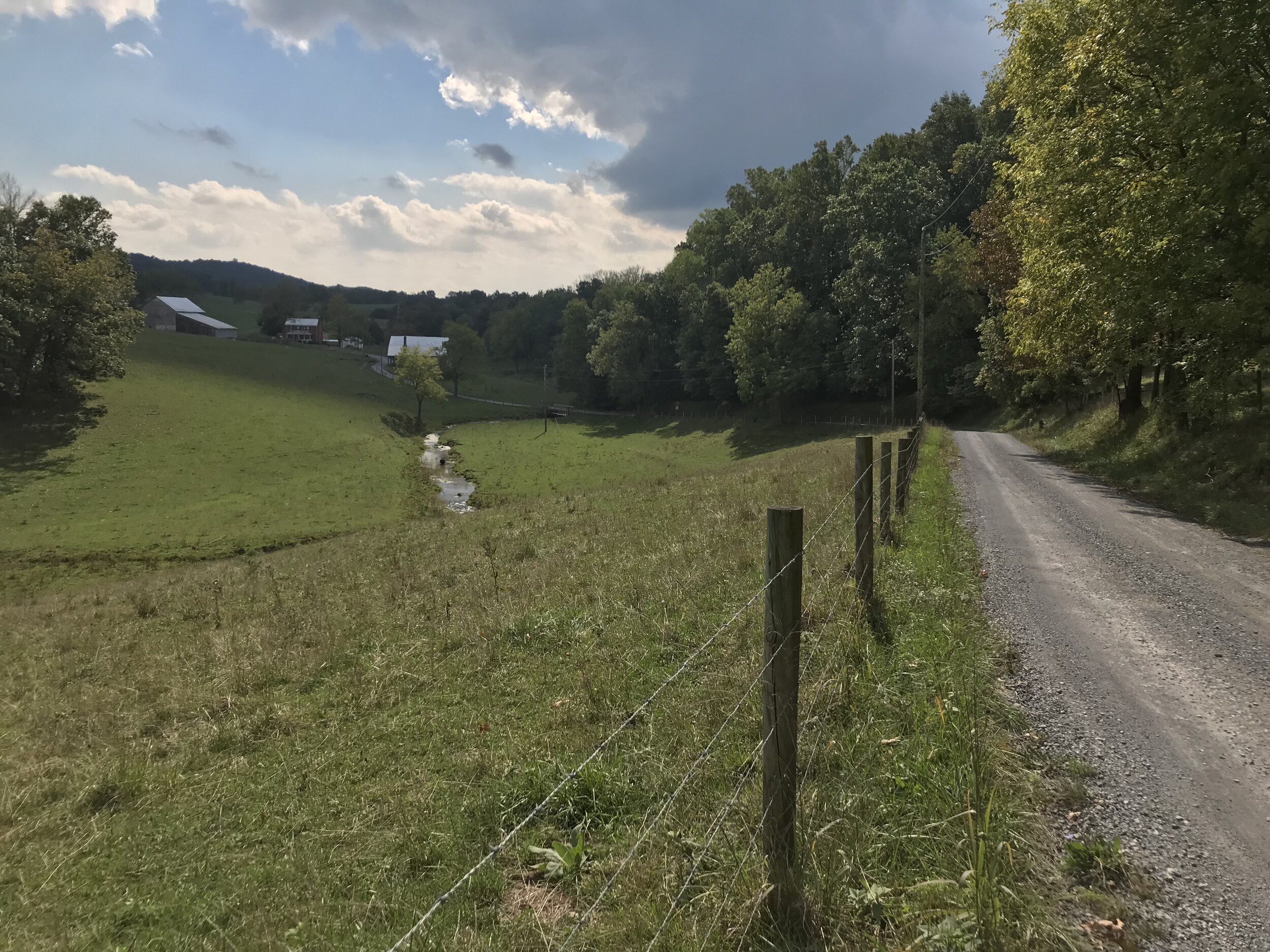
The route was a bit longer than I had time for, so I was dropped off in Buffalo Gap at mile 13. This didn’t remove any gravel from the route. I began on Old Parkersburg Turnpike, which was paved for only about a mile before becoming gravel, the first of about 20 consecutive miles! The road climbs 800 feet over 4 miles at a steady 4-5% to the top of a ridge. The climb was quite enjoyable with the easy grade and cool temps, as well as nice scenery, with a drop-off to a creek on one side and the exposed rock of the road cut in the hillside to the other. At the top the road is crossed by a mountain bike trail that could be incorporated should you be on the right bike. The descent off the ridge was thrilling and fast—hero gravel for sure—though I did have to slam on the brakes to avoid a copperhead at one point! At the bottom you hand a left onto Cold Springs Road, which takes you deep into the heart of the George Washington National Forest. This road also had very easy gravel conditions and included more rolling terrain, along with a 2 mile, 400 foot climb. Not surprisingly the scenery was heavy forest, interspersed with many dry creek beds.
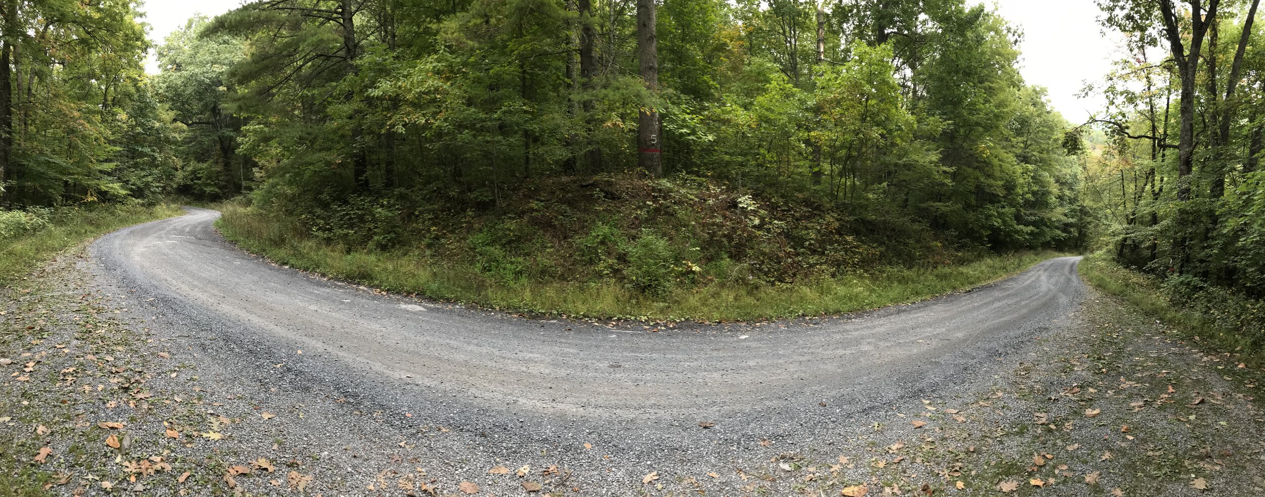
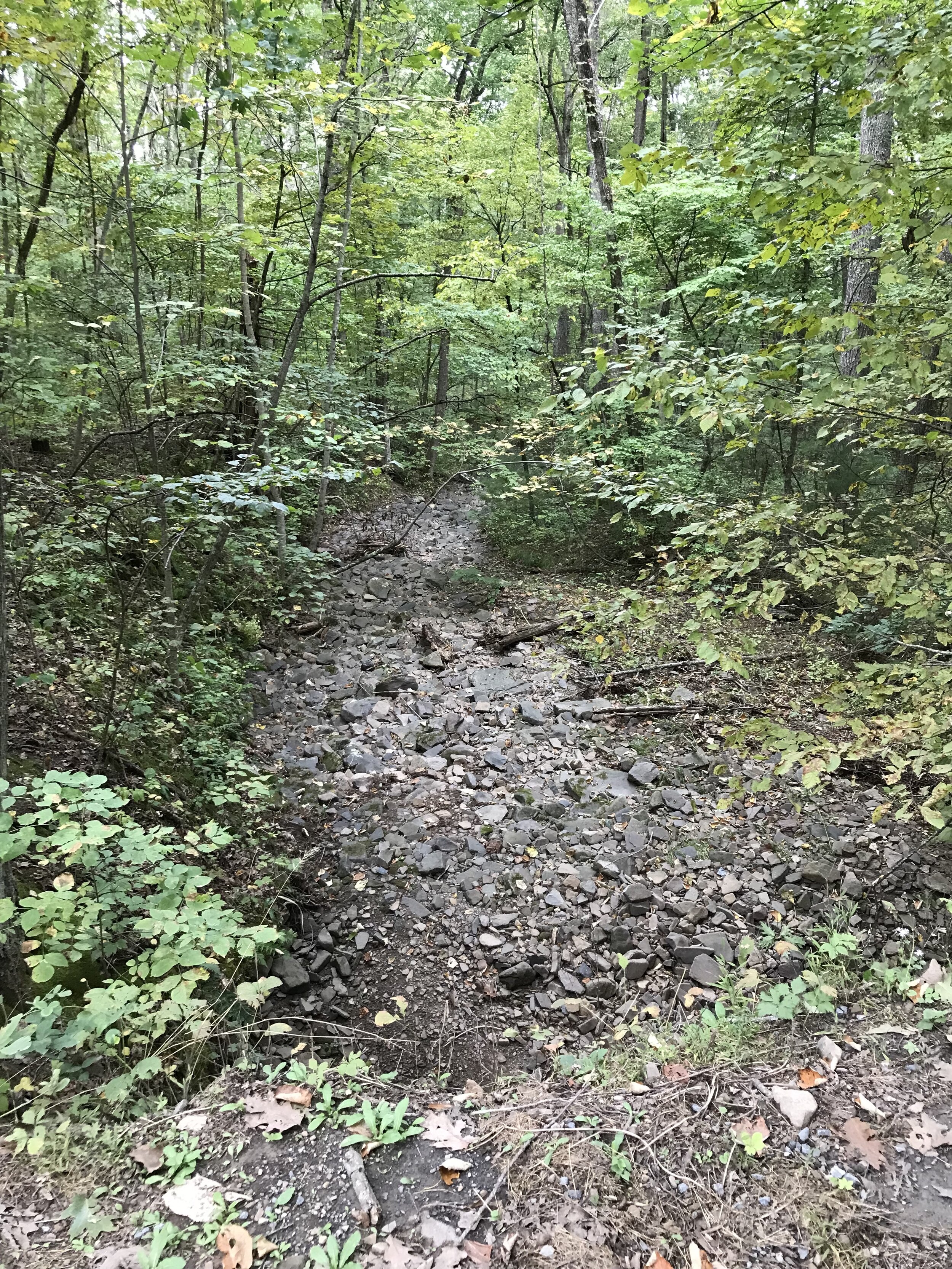
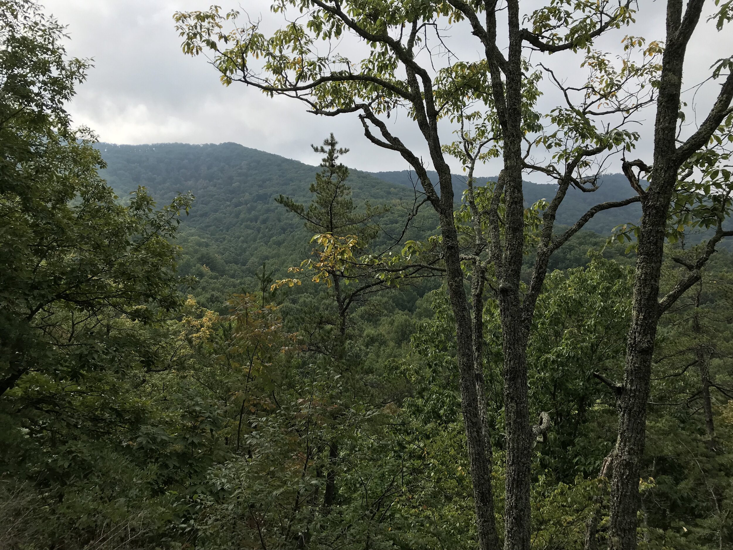
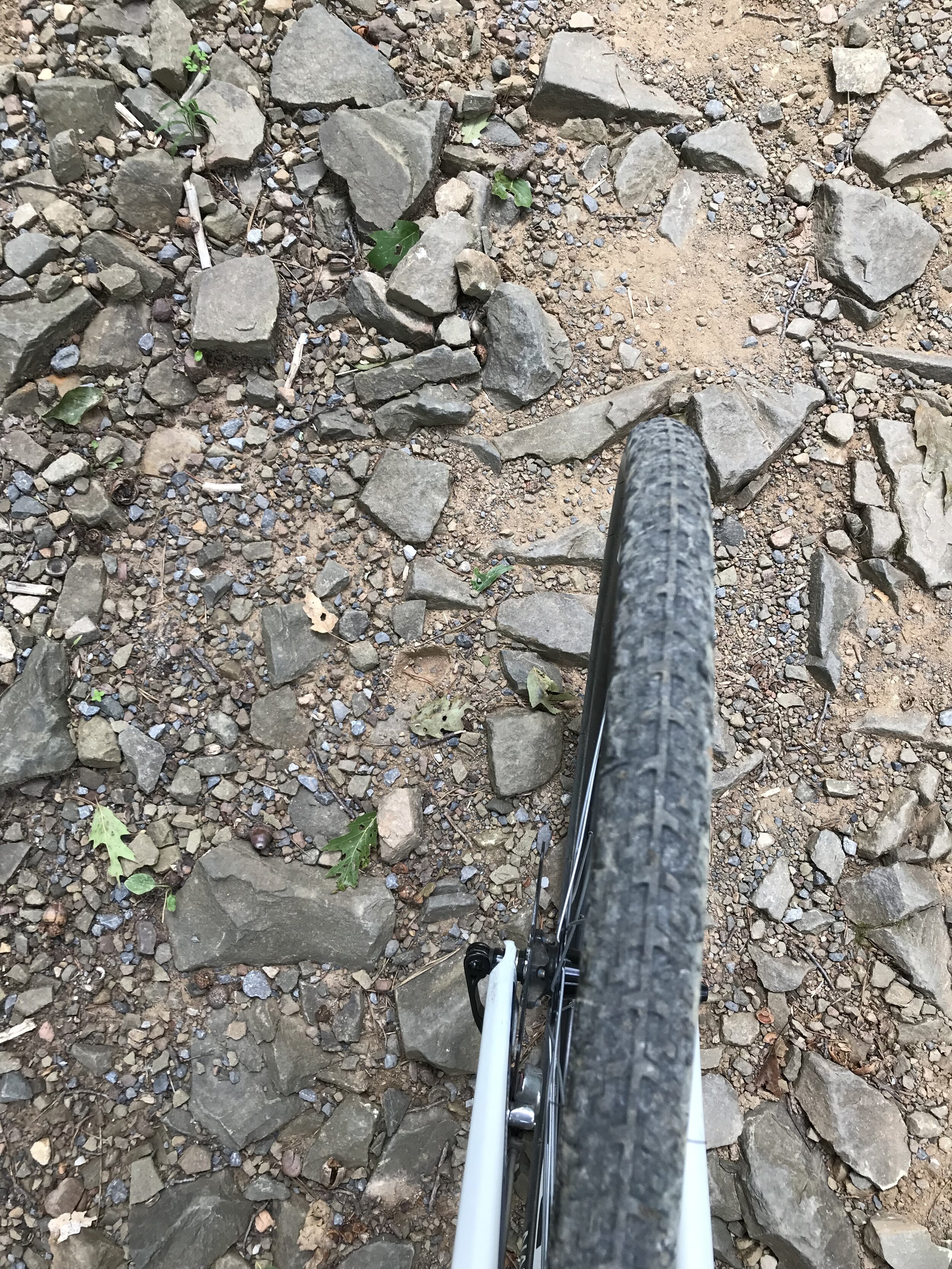
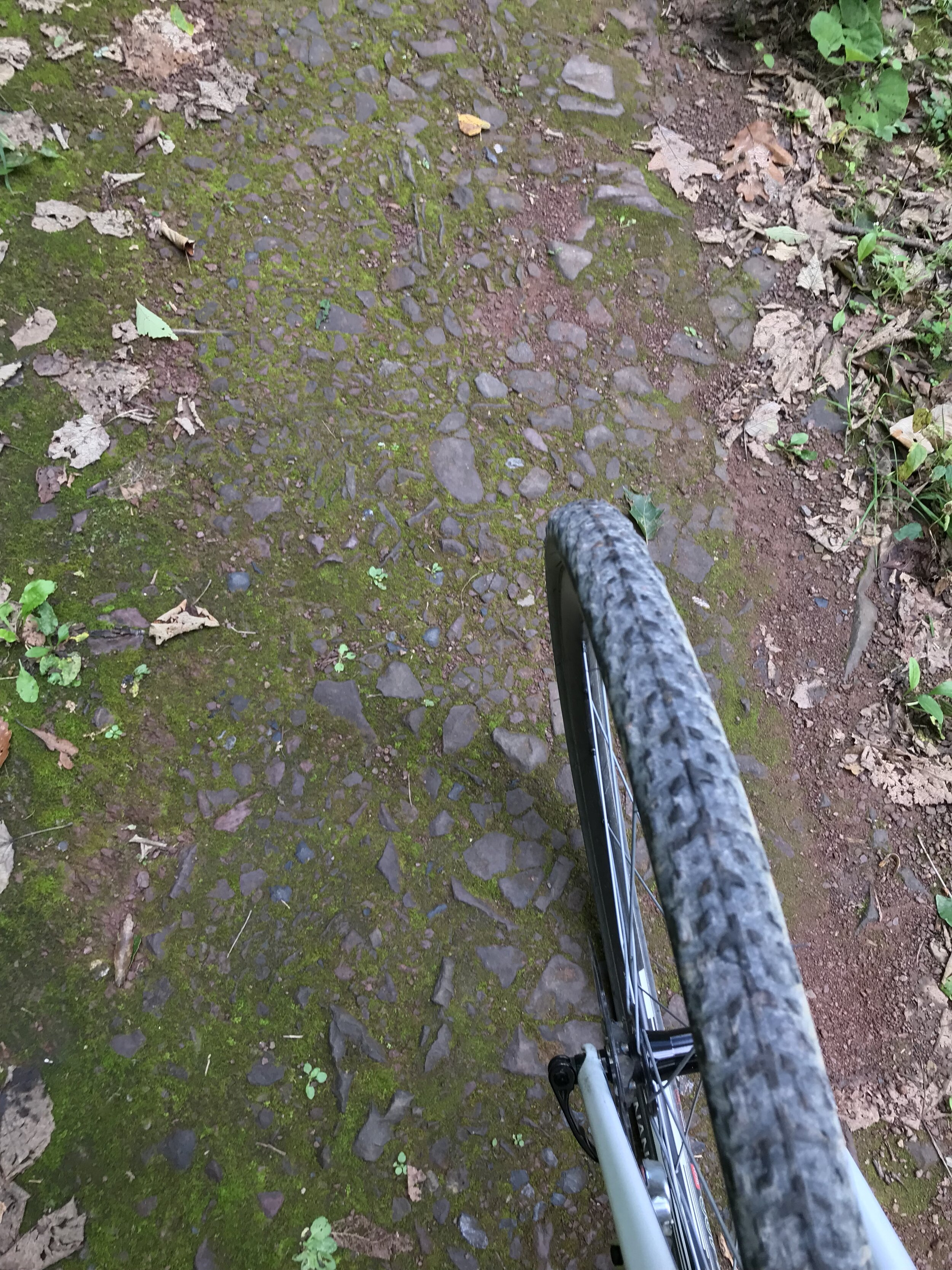
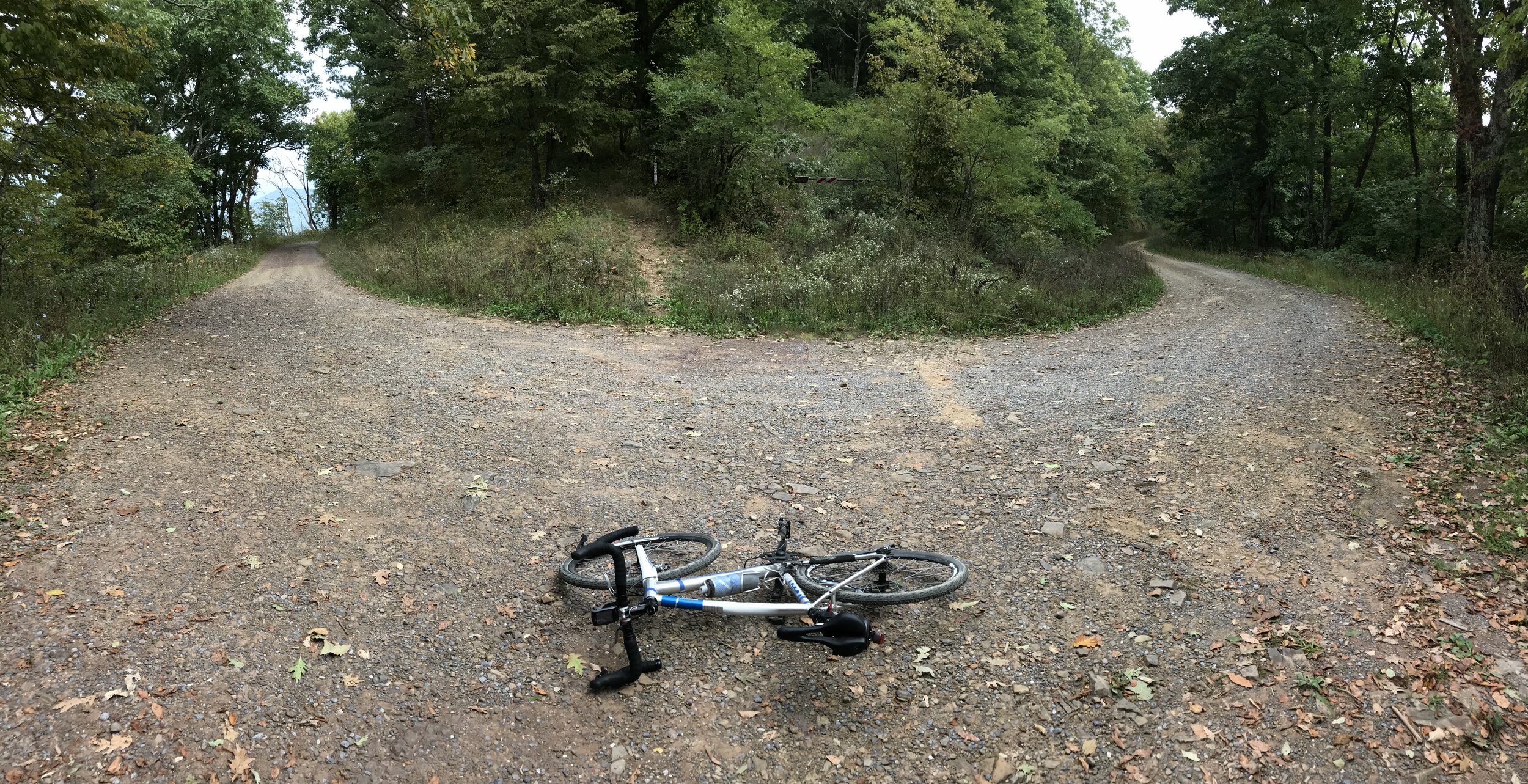
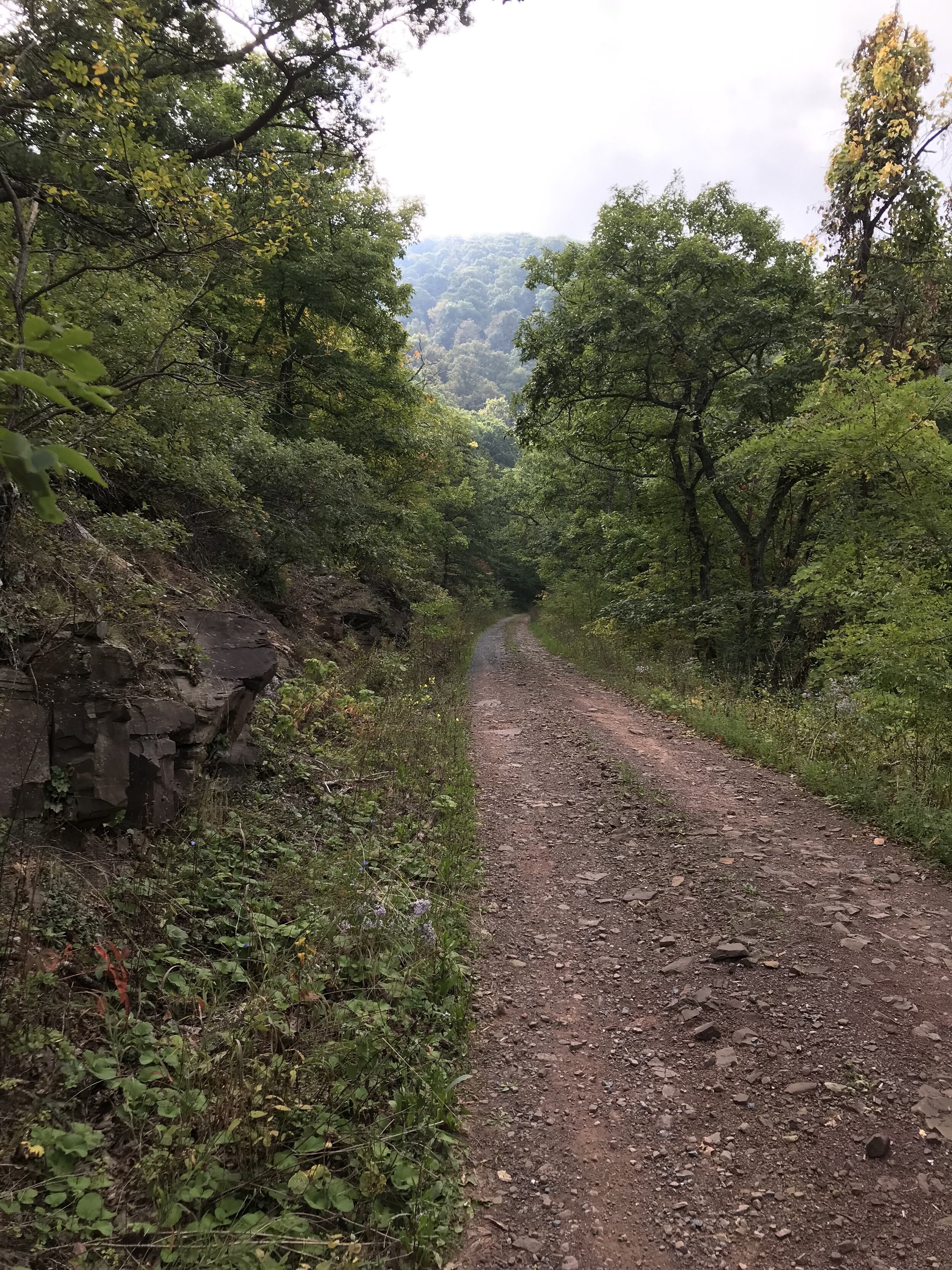
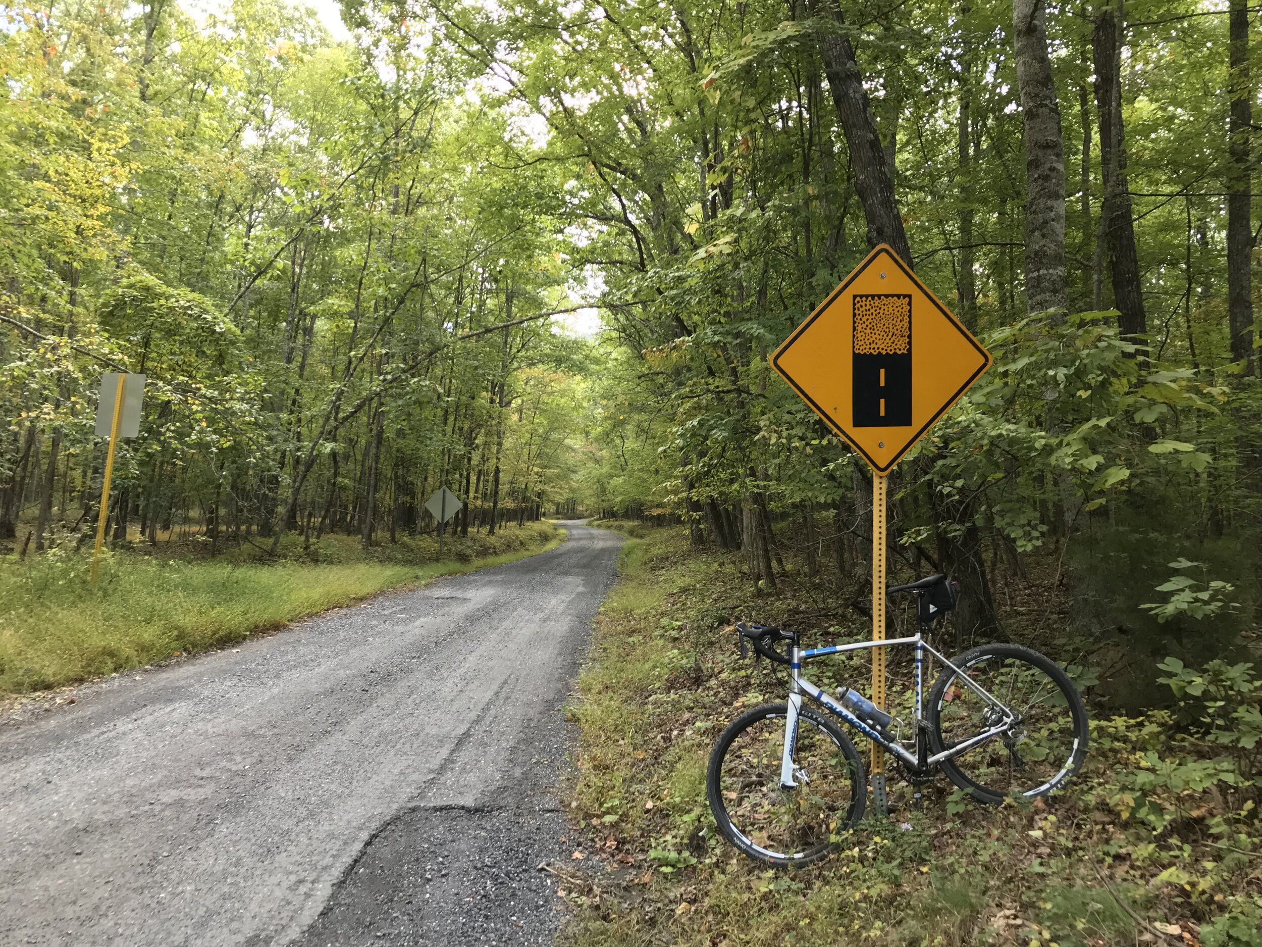
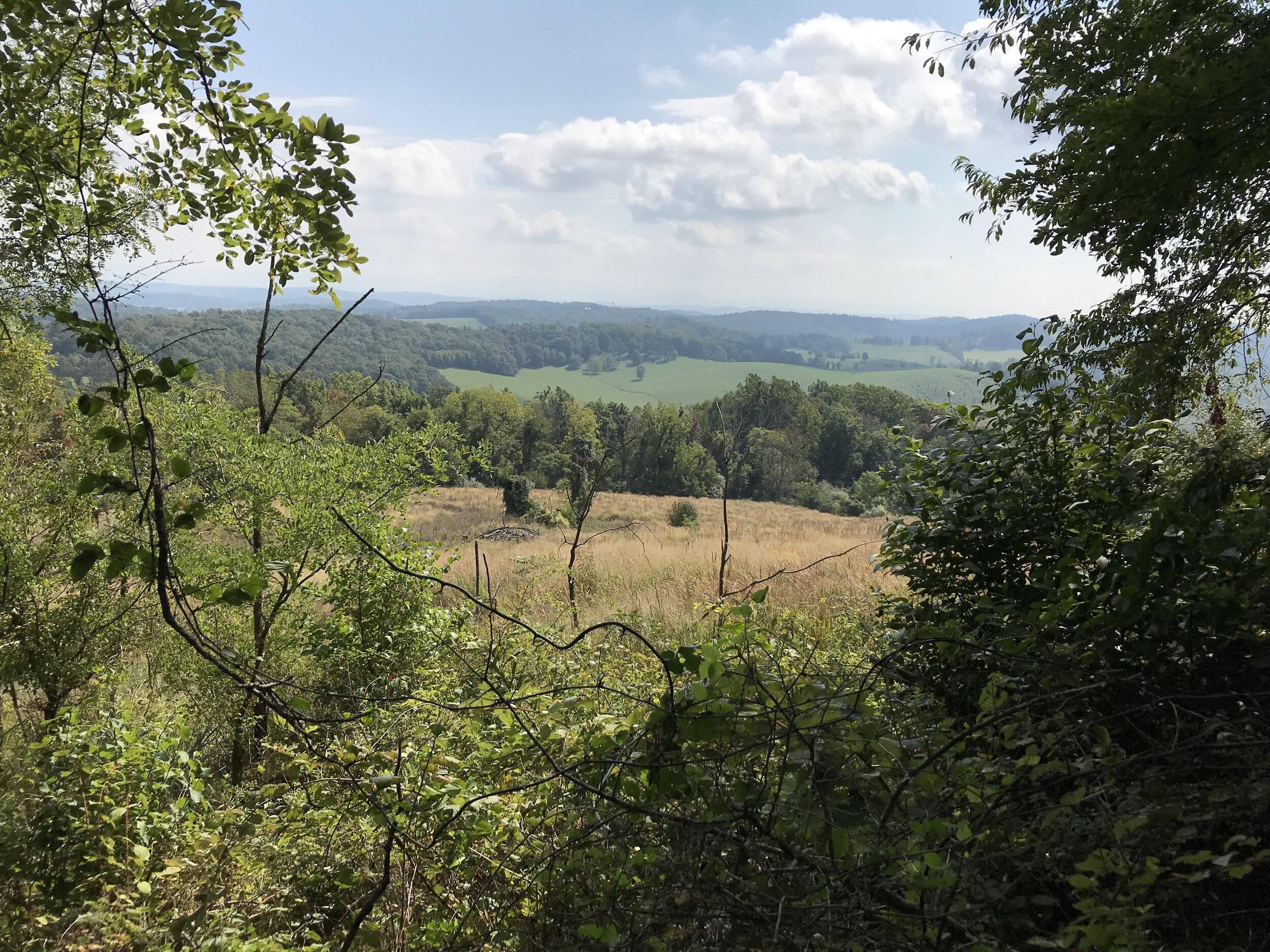
The turn onto Hite Hollow Road immediately had me thinking that things might change with road conditions, as the grassy strip down the middle indicated much less traffic. Sure enough, within a few hundred yards the road was becoming rockier and looser. It also headed up, climbing back over the ridge I had already created on Old Parkersburg. The next 4.5 miles would see me gain nearly 1500 feet in elevation! Although the grades were reasonable, it was very slow going bouncing through the rough conditions. On the plus side, I got my first views through the trees of the surrounding ridges and mountains. I also came across a large group of trucks and their drivers parked in the road, chatting. The trucks had hunting dogs in the back. I stopped to ask what the occasion was and learned that they were bear hunting! After that I decided to make some noise before going around any blind corners to avoid spooking a bear.
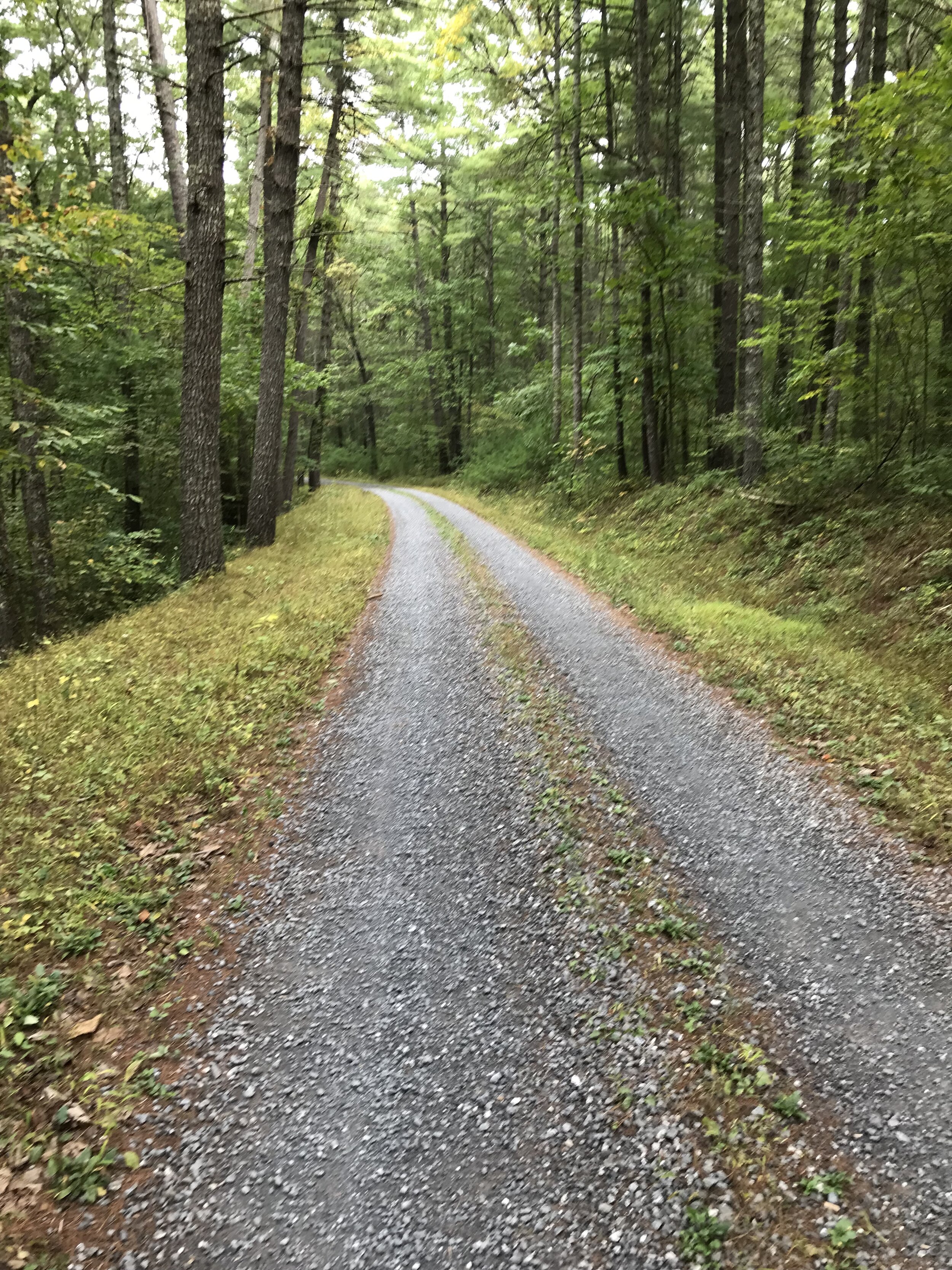
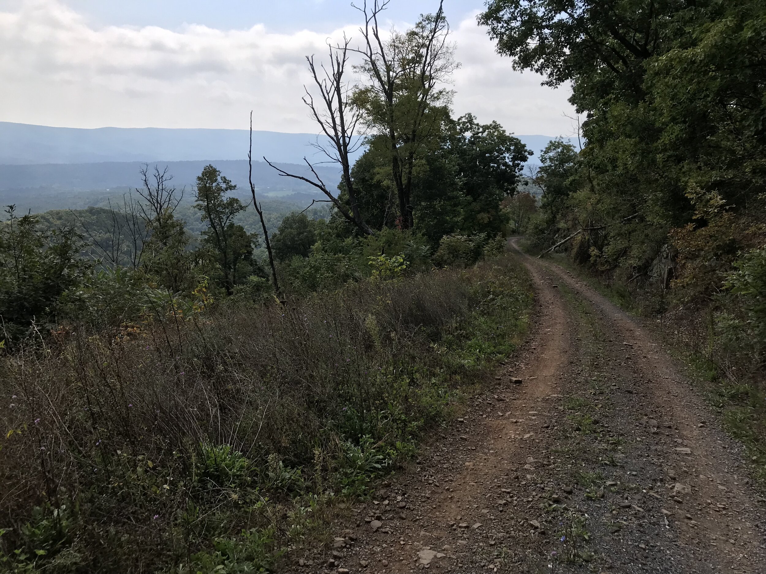
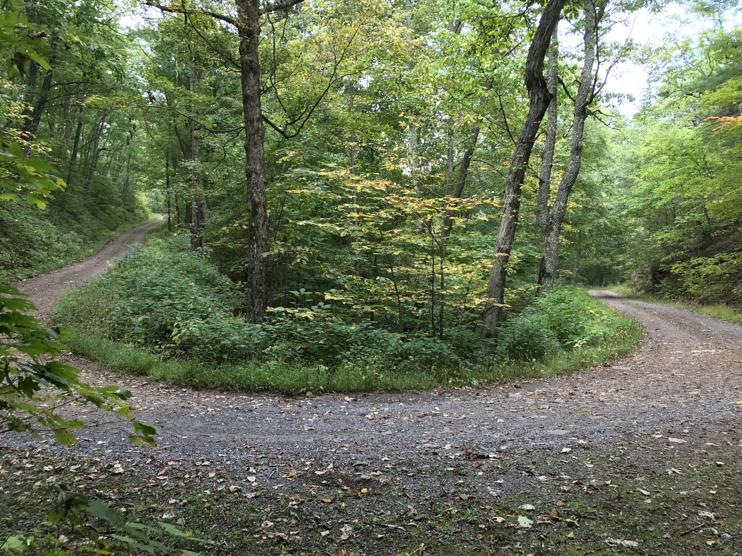
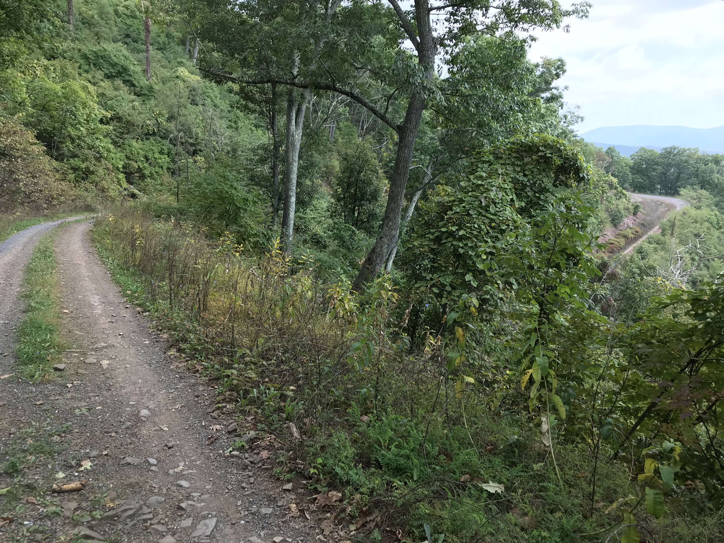
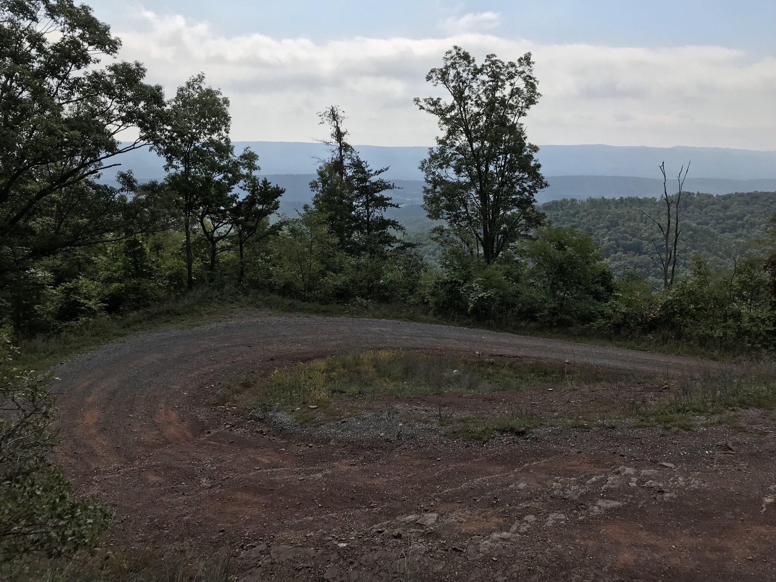
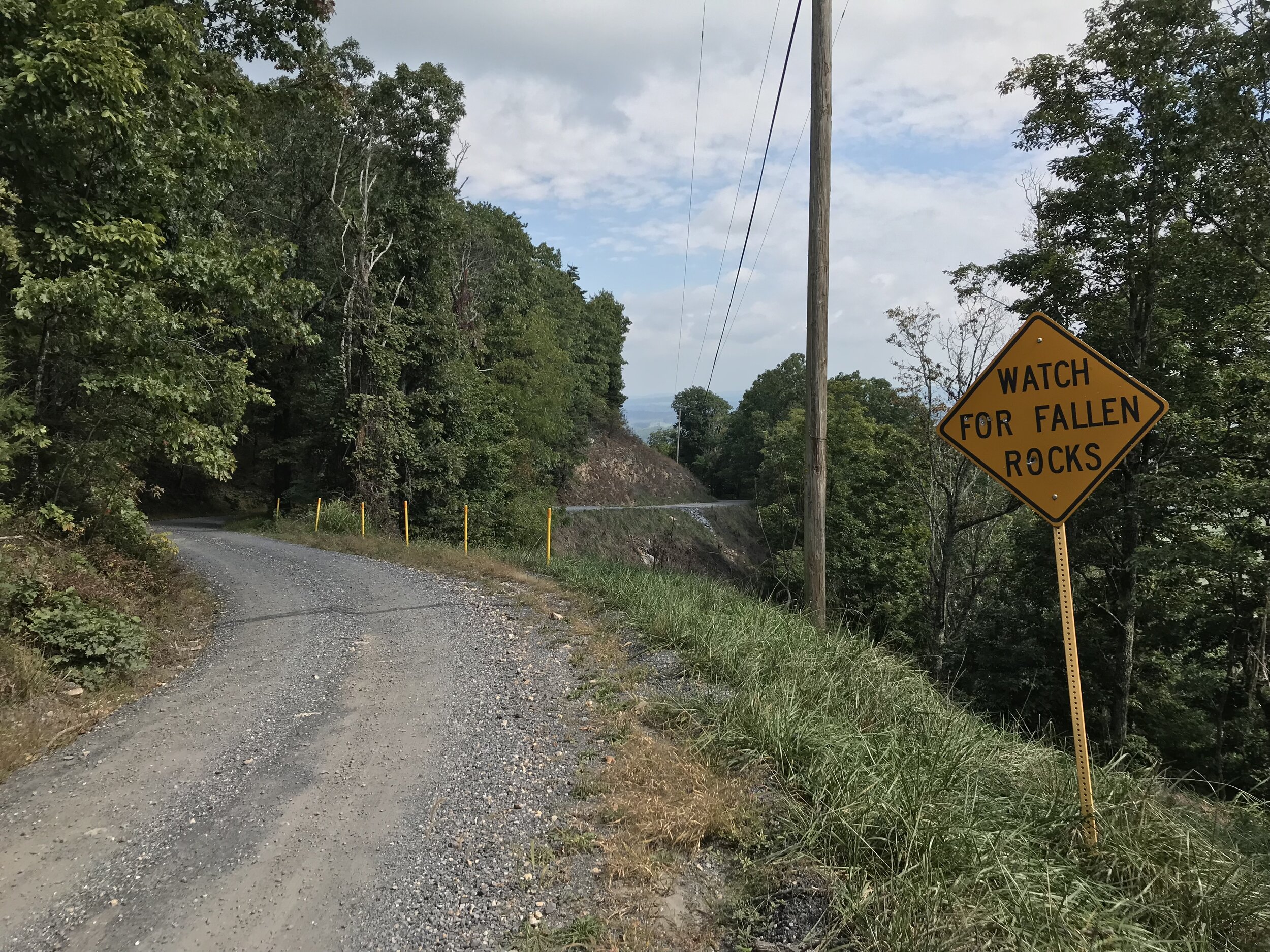
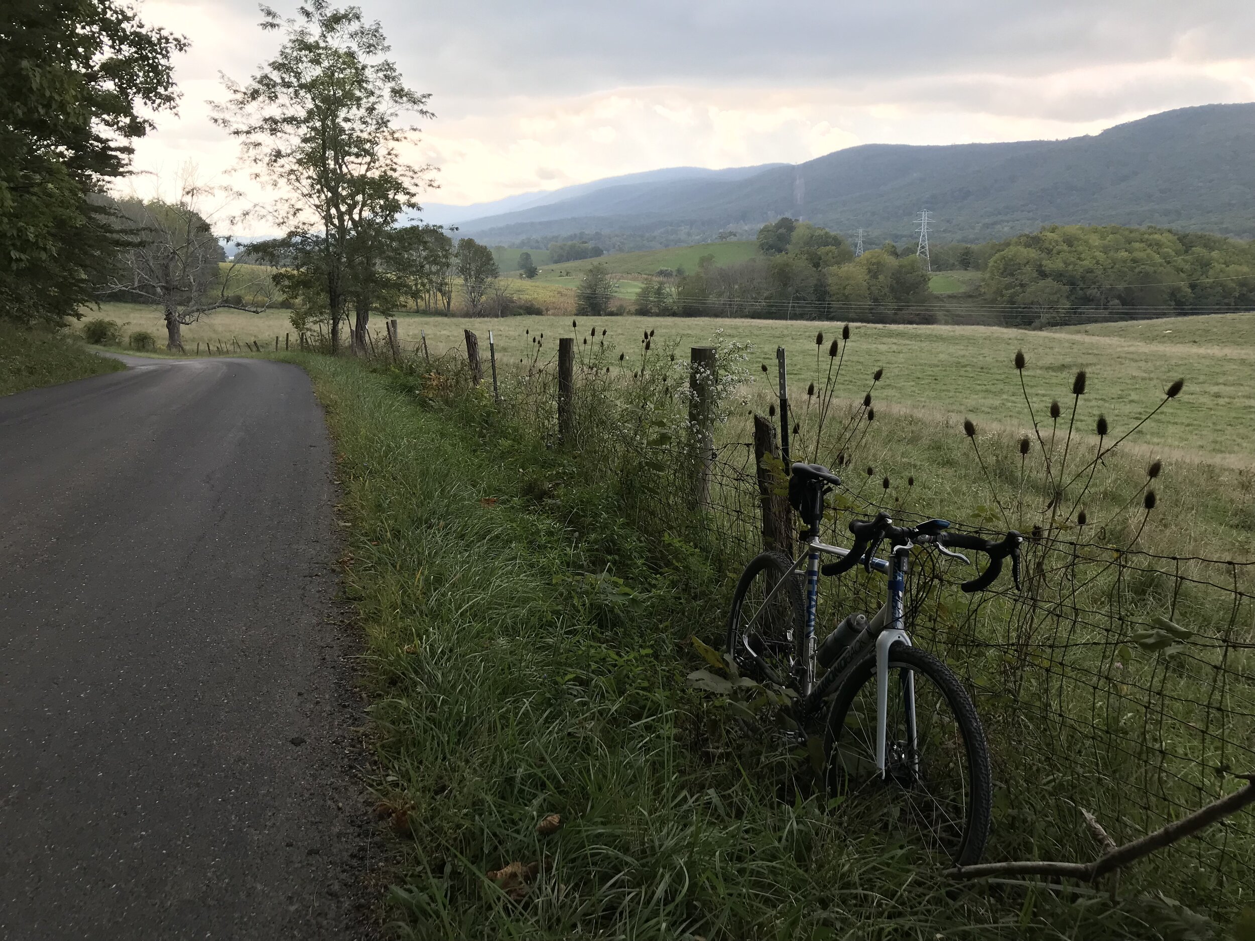
I was relieved to make it to the top of the climb and hoped to make up some time on the descent. Unfortunately it was just as rough as the climb, so it was once again slow going! The terrain was more open, though, so I got some fantastic views, including the road doubling back on itself as it wound down the mountain. After a few miles and upon reaching the Hite Hollow Rifle Range—the sounds from here had serenaded me ever since cresting the top—the road thankfully became smooth again and I was able to rip the rest of the descent. This brought me to the first extended pavement section, which turned out to be nice quiet roads in the valley between the first ridge line and my next challenge, Troxel Gap.
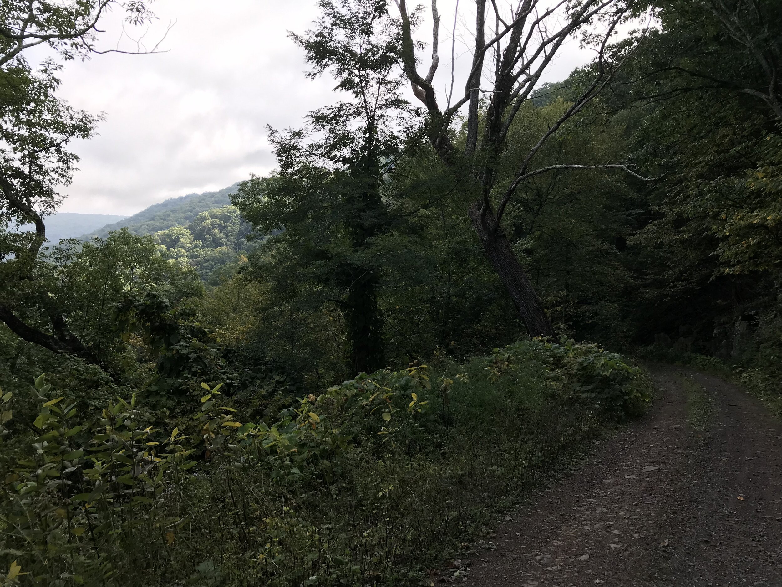
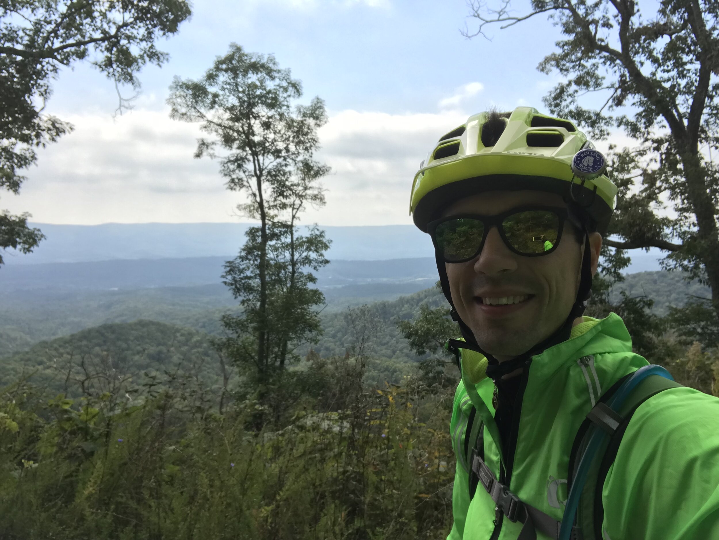
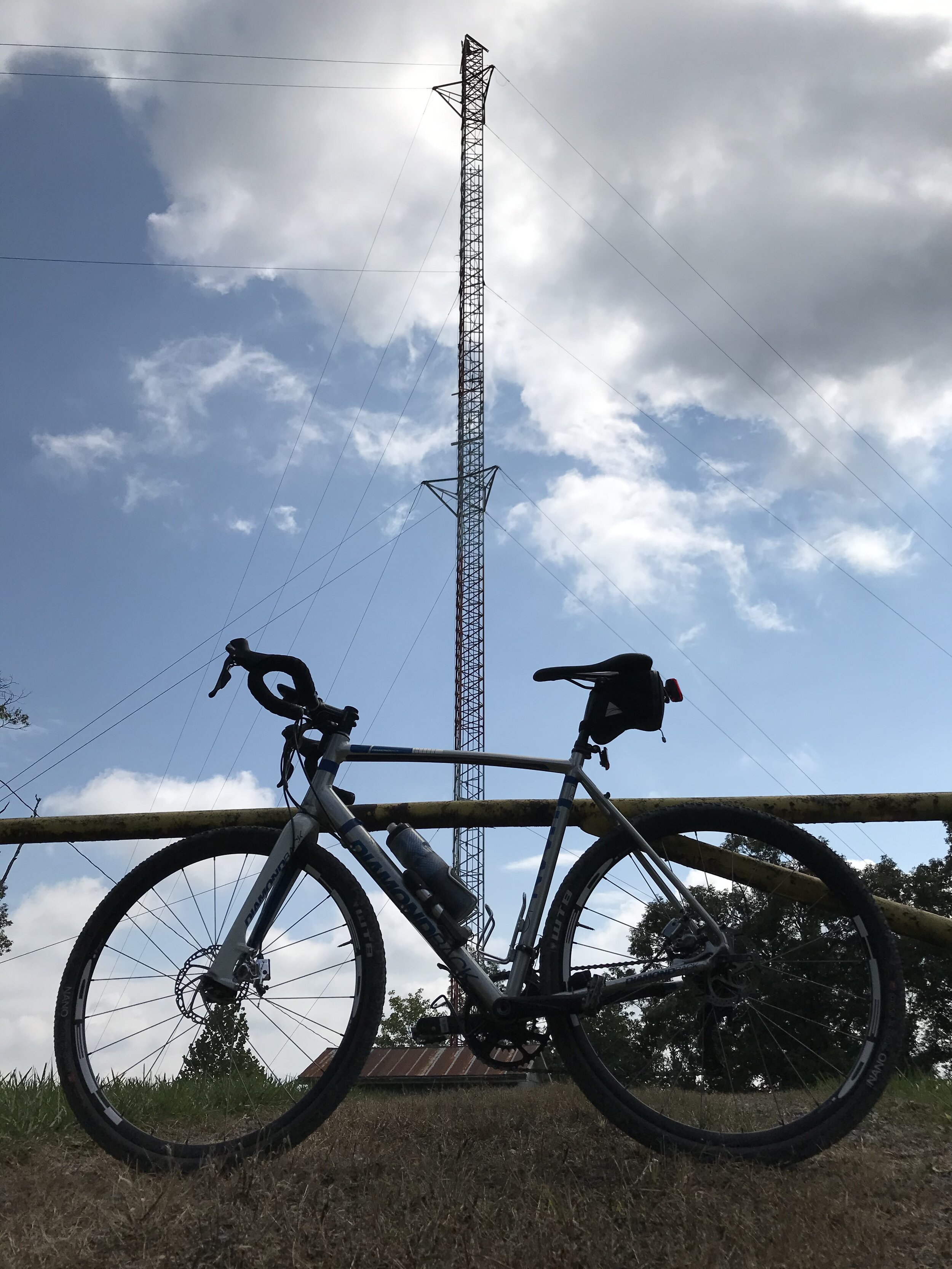
Troxel Gap rises ominously in the distance as soon as you turn onto its namesake road. Although it begins paved, it turns to gravel as soon as the gradients kick up. This was the steepest climb of the day by far: 8% over 3.5 miles and nearly 1300 feet. It could’ve been because I was tired, but I found the climb rather mundane; there just wasn’t anything exceptional to see along the way. After taking a picture at the radio tower at the top (always a sign of a tall climb!) I started the descent, which unfortunately once again proved to be too rough to take on quickly. The washboard was intense, and there were numerous washouts, which was surprising given that the climb was rather tame in terms of surface conditions. There were more good views on the way down, though.
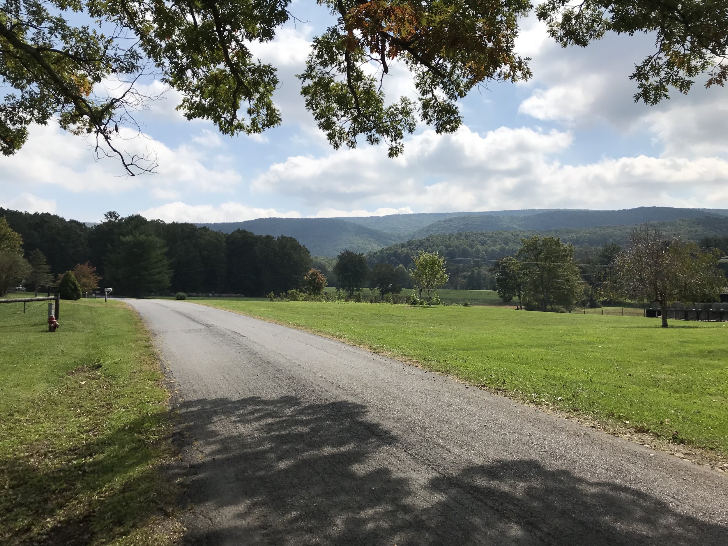
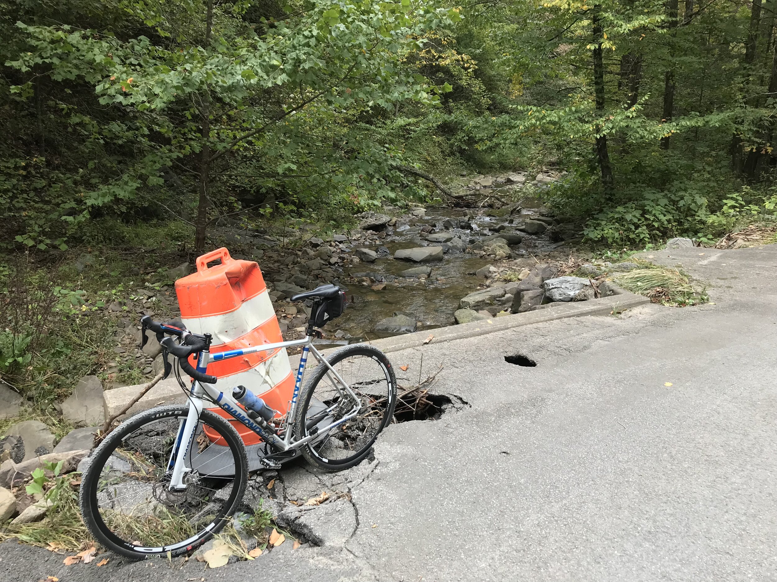
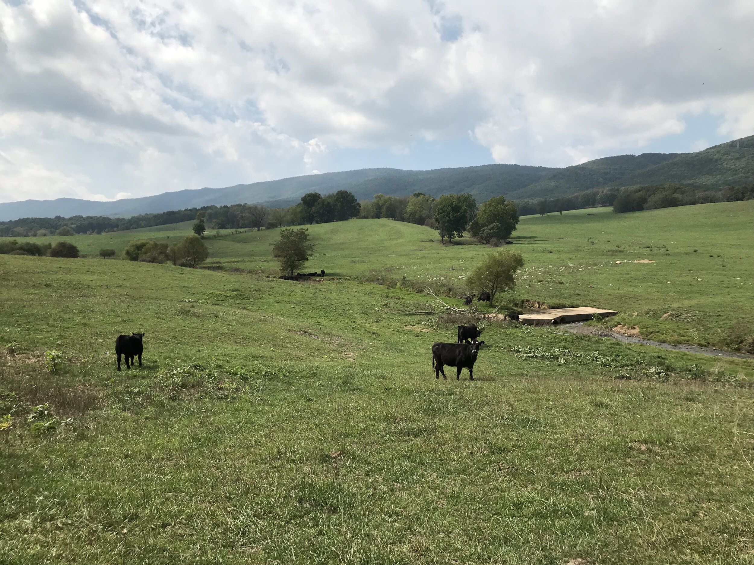
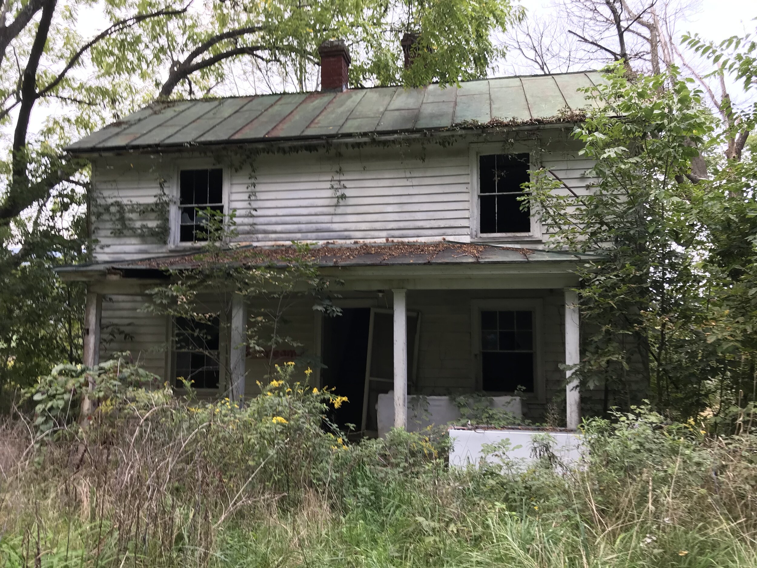
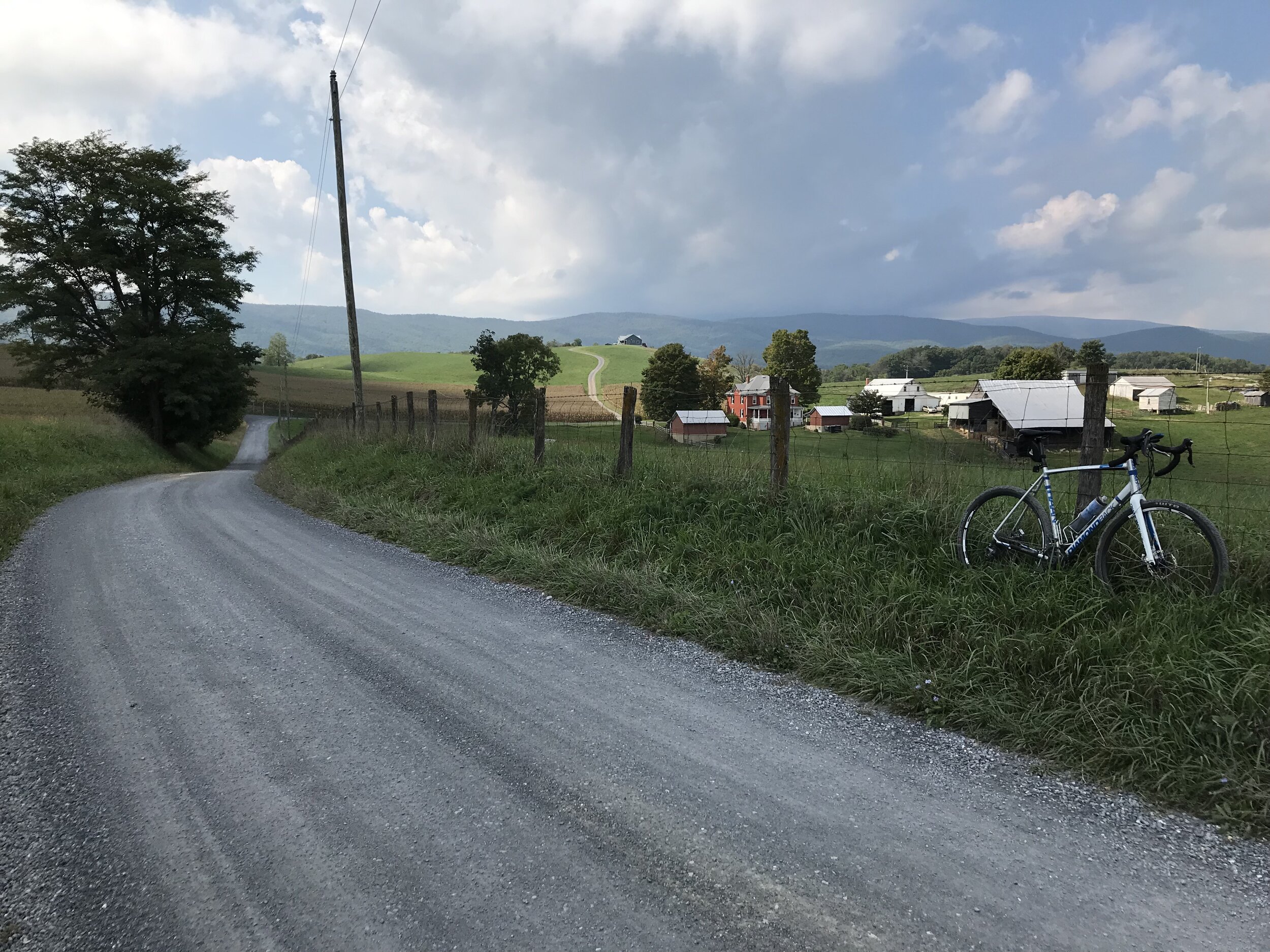
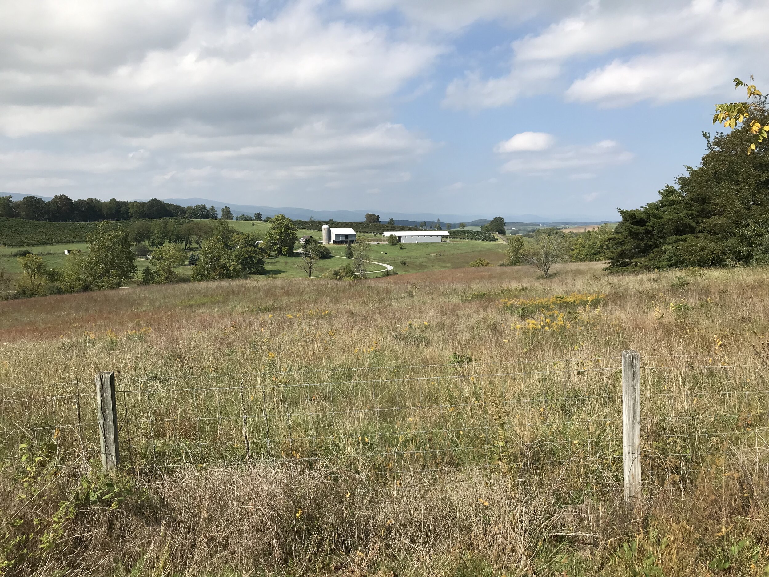
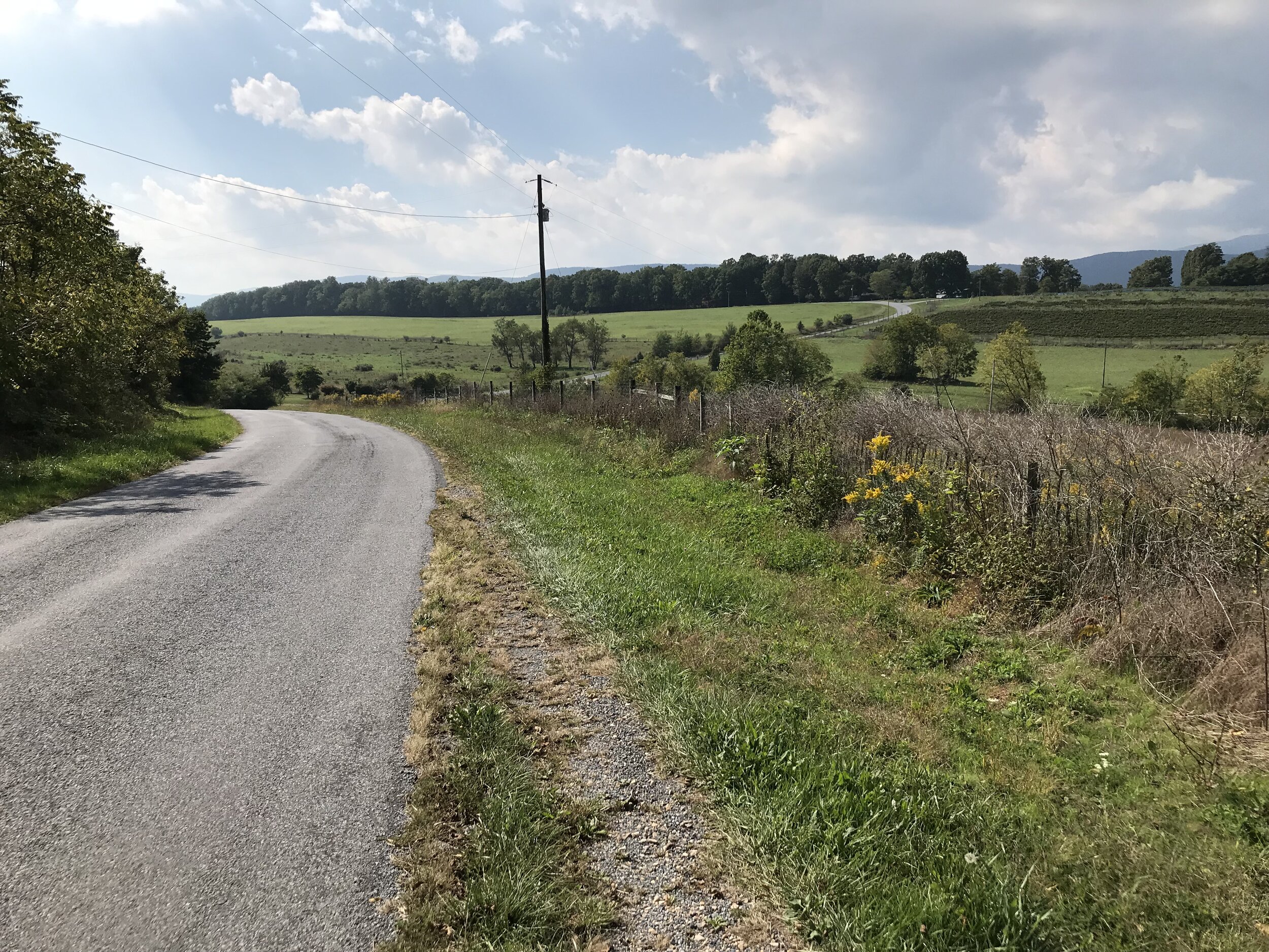
The final section of the route took me on almost exclusively paved roads (except for about one mile) through the valley and back into Staunton. The terrain was absolutely beautiful! Lovely historic farms, rolling countryside, and a backdrop of mountains. It was a challenging finish, though, as I was pretty spent and any time the road tilted upwards I found myself reaching for lower gears. Amazingly I was still in farmland only a couple of miles from the end of the ride! I ended with 50 miles and 5700 feet of climbing, a great day in the saddle enjoying an area in which I’d never ridden before. I can’t recommend the area enough; we really enjoyed our stay and it seems there is a ton of fantastic cycling to be done, as well as history, yummy food/drink, caverns, Shenandoah National Park, etc.
If you head to this area and are looking for other routes, Rocktown Bicycles in nearby Harrisonburg has a fantastic selection of routes on their website, including gravel, road, and mountain.
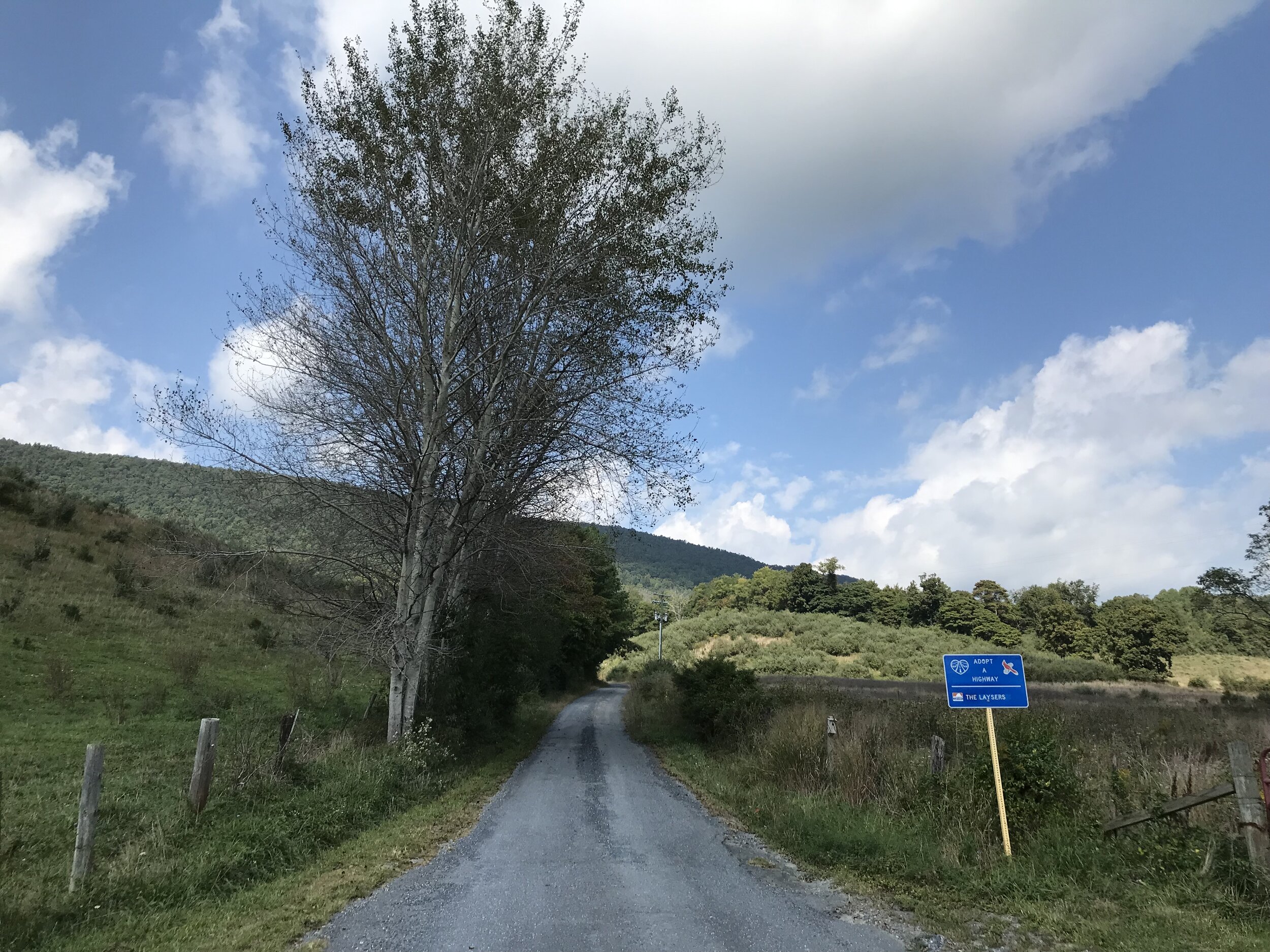
Bike the Valley is a local organization that has many routes of all types on their website and also runs the Fall Foliage Festival, which includes a gravel route and is happening in less than two weeks.