Recap: Woodsfield Gravel Century
The SE corner of our state is relatively unmapped by the OGG contingent. I won’t say “unexplored” because there are good gravel riders who have been traversing these roads for many years, but somehow most of the gravel gold in this corner of the state hasn’t managed to materialize on the OGG pages.
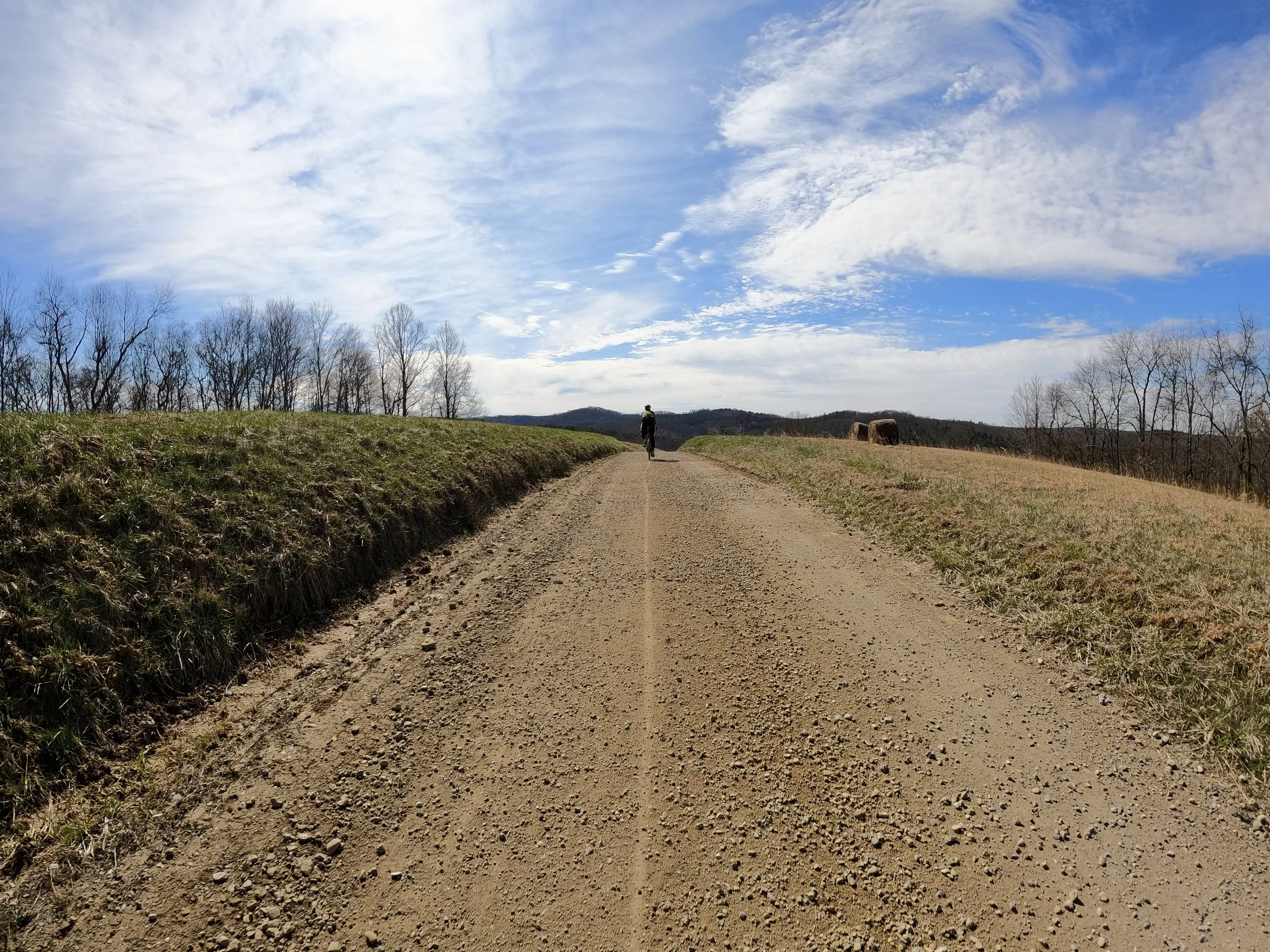
My riding friend Paul Djupe took the time to carefully map out a scouting route and then encouraged me to take a Thursday off from work (we were both on spring break anyway) and spend all day riding some possibly good gravel. We did not find any good gravel, we found only excellent gravel!
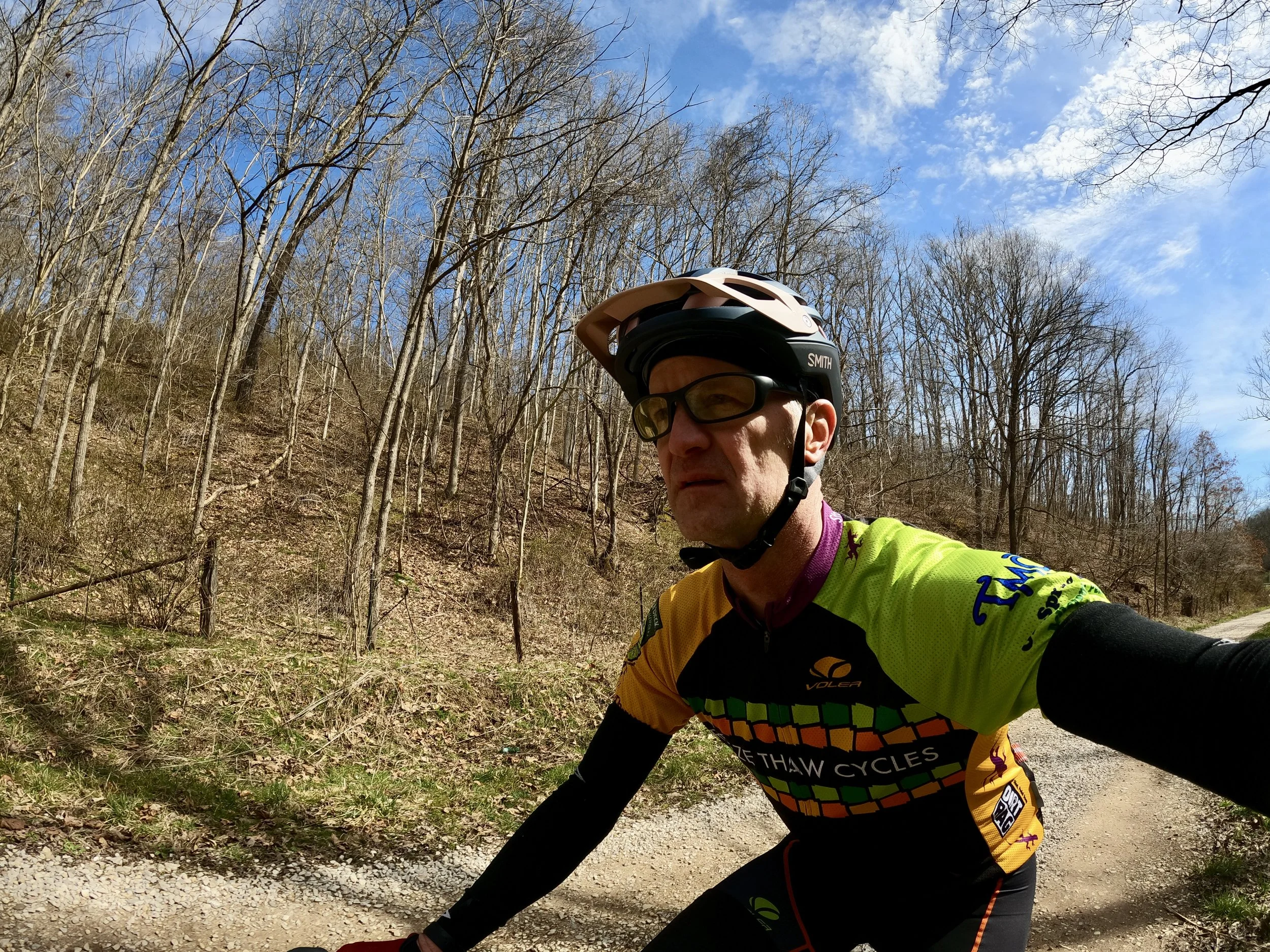
The route starts in Woodsfield, which is a sizable town with all the amenities. There aren’t many towns this size in this corner of the state, so starting choices are limited. It is about a 2 hour drive from the Columbus area. Probably a little further if you are coming from the Cleveland area, but still manageable for a big gravel day. We left our houses before 6am, rode all day long, and returned home after 7:30pm. It was a big day.
The route posted here is a big scary beast of a century with nearly 10k’ feet of climbing. But there is a lot of gravel in this area and it is super possible to create smaller routes. I don’t feel confident posting public routes on roads I haven’t been on, but if you take the basic route we have and make some obvious cuts to your desired distance, you are probably going to end up with a gem of a ride. Hopefully we can post more variations soon.
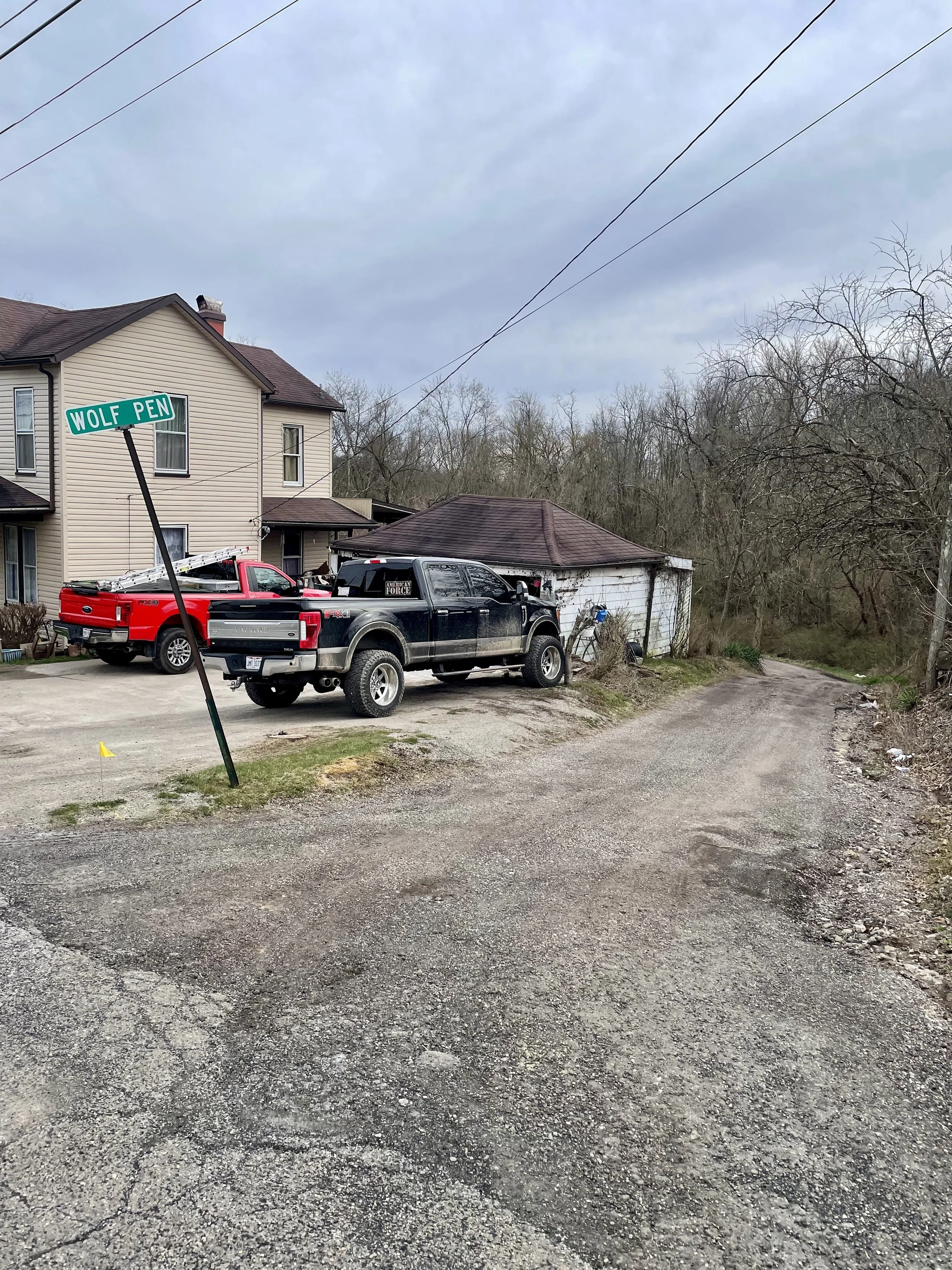
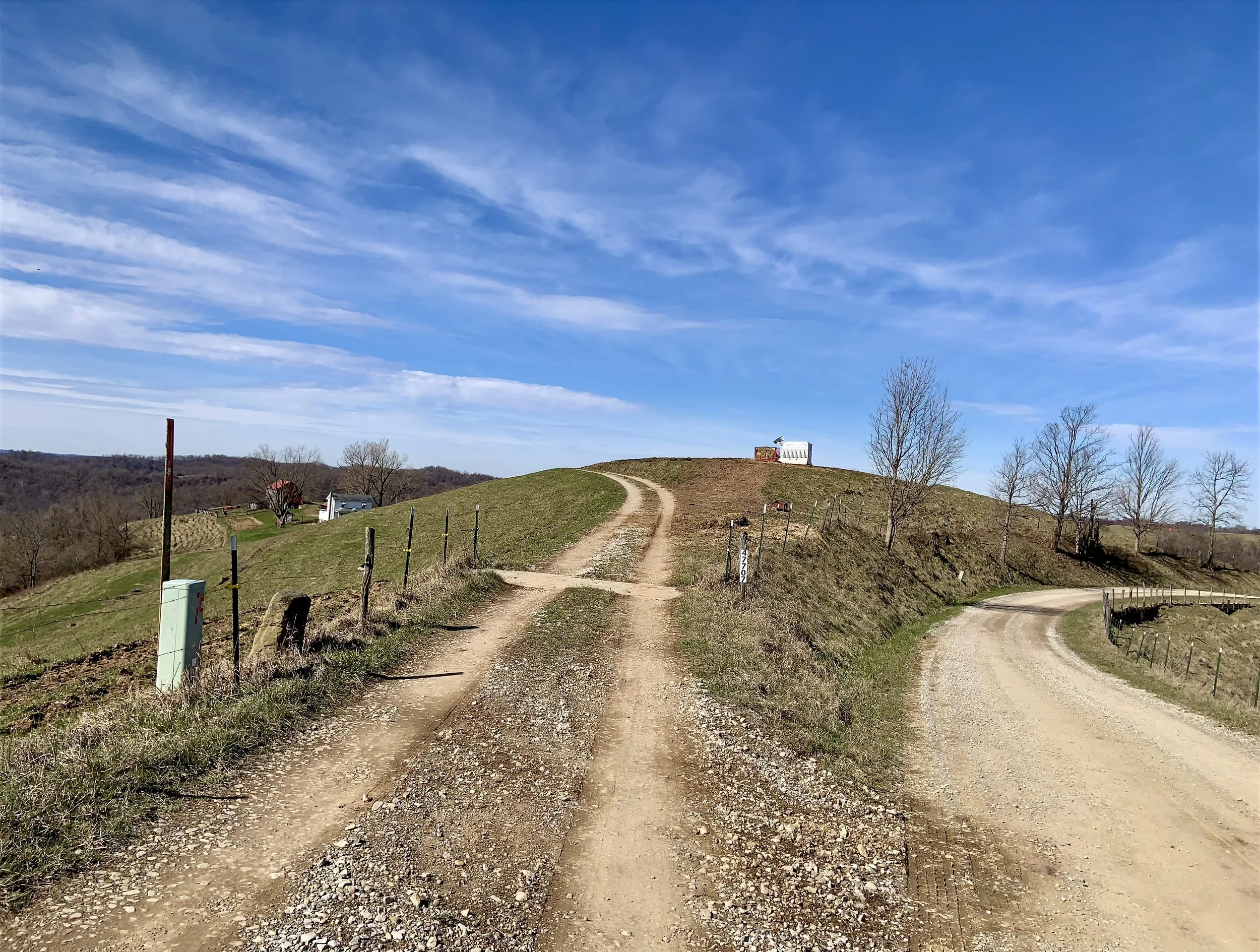
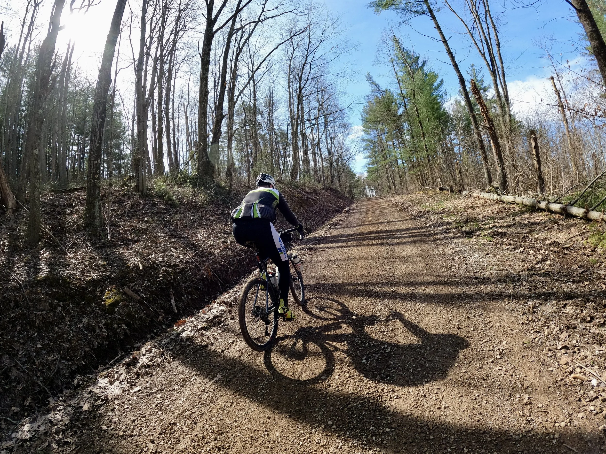
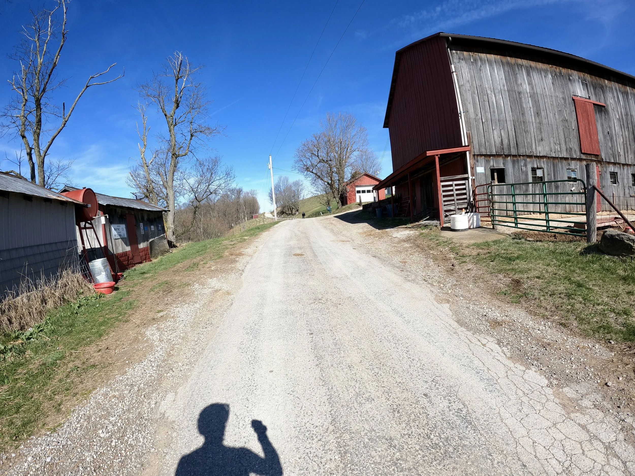
The route starts off with a bang. Literally 100 yards from the dead center of the town (the county courthouse) is Wolf Pen road. It dives off the main state route on an unmaintained adventure track that follows the fall line of a deep ravine on the edge of town. It is crazy to think you can go from bustling town to complete isolation on a gnarly road in just 30 seconds. The forecast for today called for a chilly start around freezing and then warming up with a southerly flow topping out in the mid 50s. I dressed for 50 and was super cold for the first two hours. Not helping matters is that dropping down into the ravine the temps bottomed out at 22 and stuck there for nearly an hour before the sun could rise high enough to peek over the valley walls and start to undo the deep freeze.
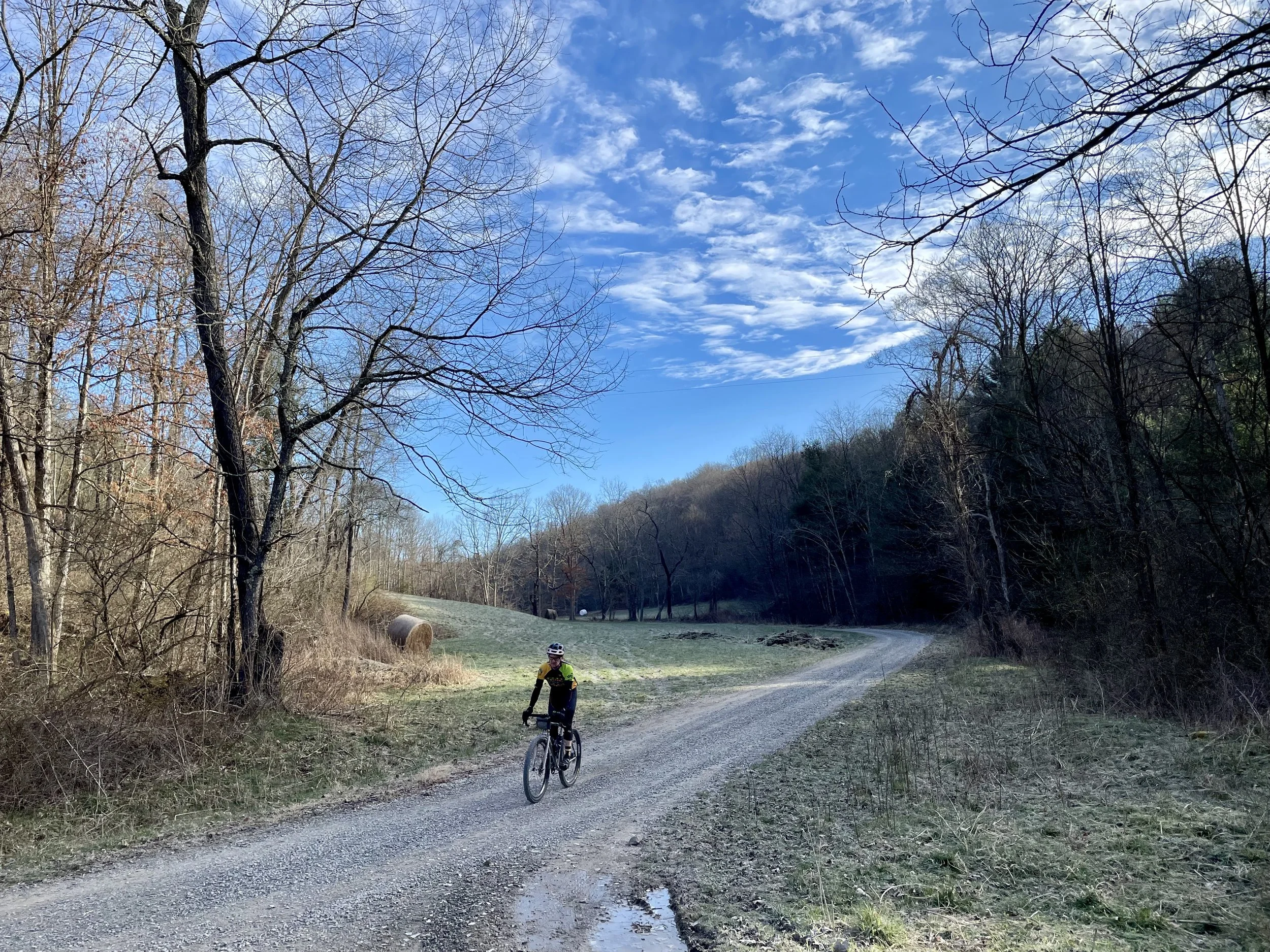
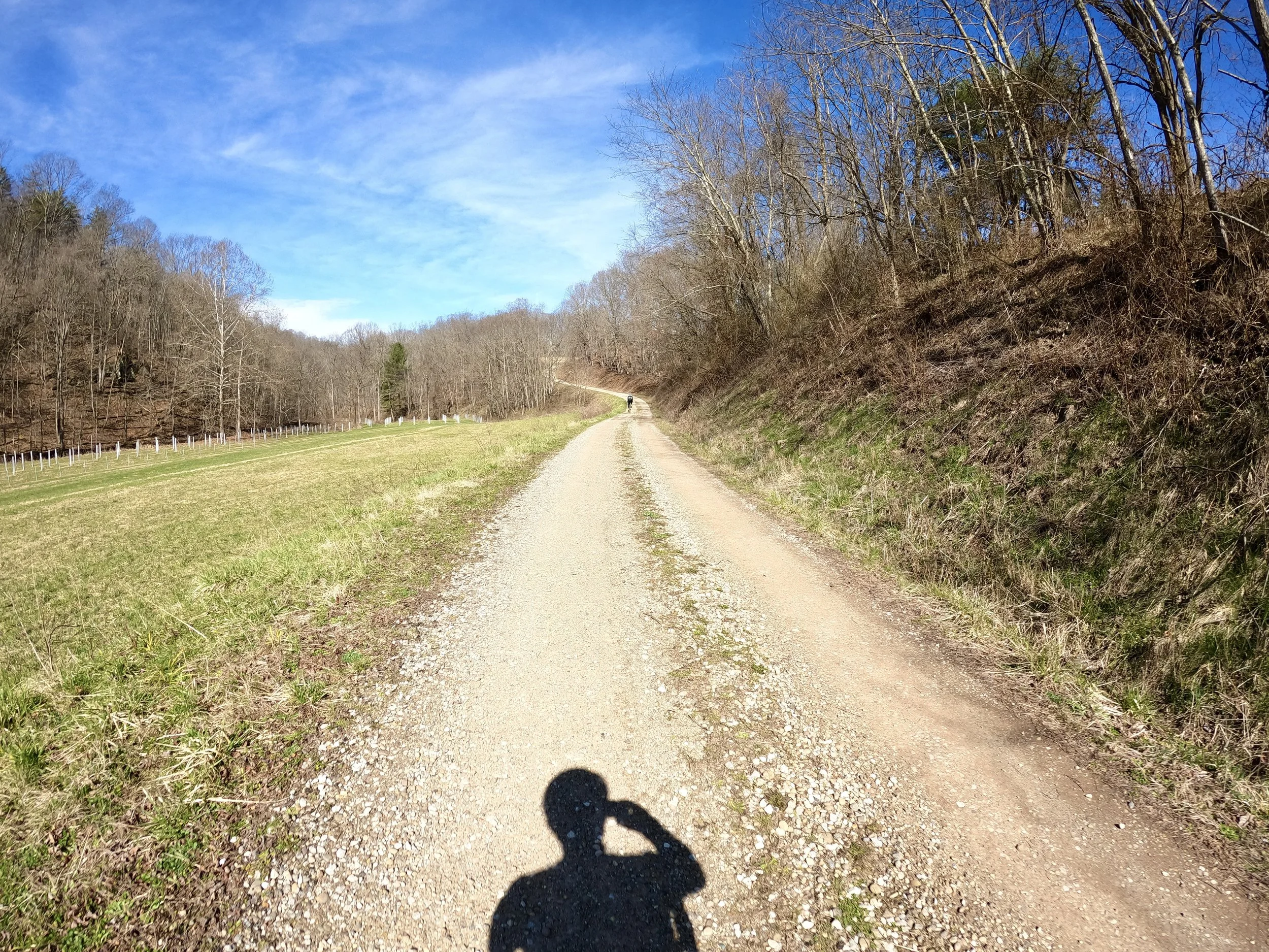
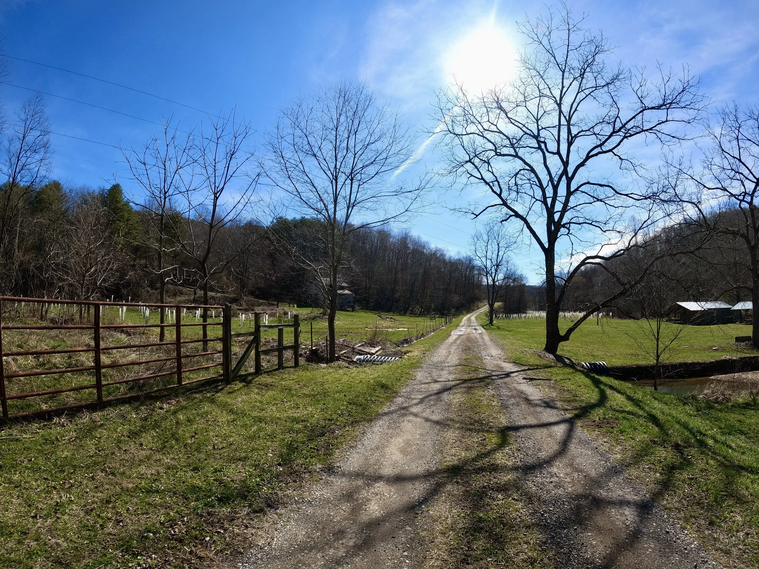
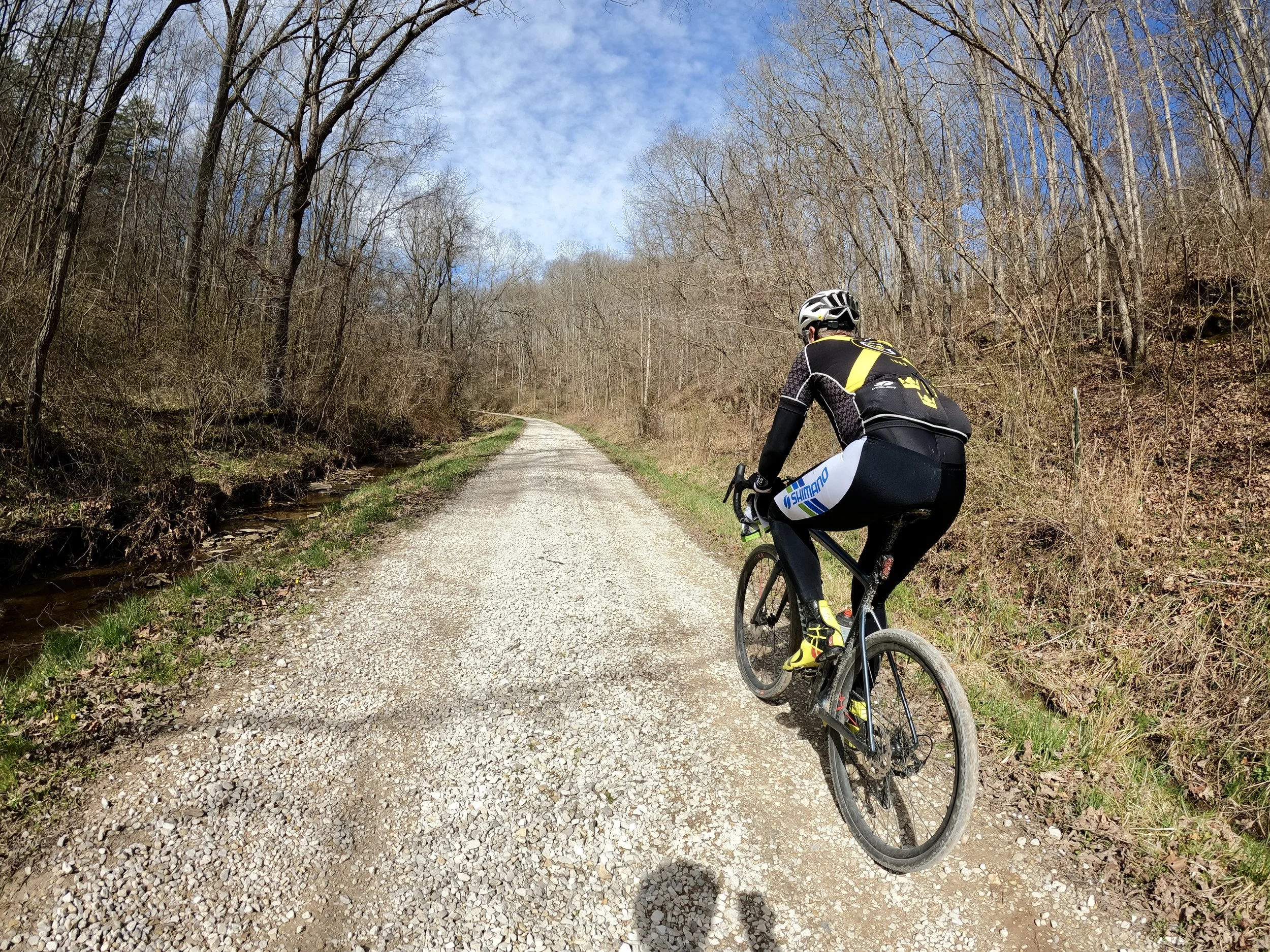
After the break-neck descent down Wolf Pen the route meets up with this bucolic valley, traversed by Crane’s Nest Rd which follows the flow of Crane’s Nest Fork (creek). It is a truly magical valley, and if it weren’t for the fact that I was 30 degrees underdressed, I would have enjoyed it even more. You could literally plot out a 30 mile route that traverses this valley and explores the numerous off-shoot roads that scramble up and down the two ridgelines that frame the valley. We explored up one off-shoot and back on the next one, but otherwise stayed in this lovely valley for the first hour of riding (and freezing).
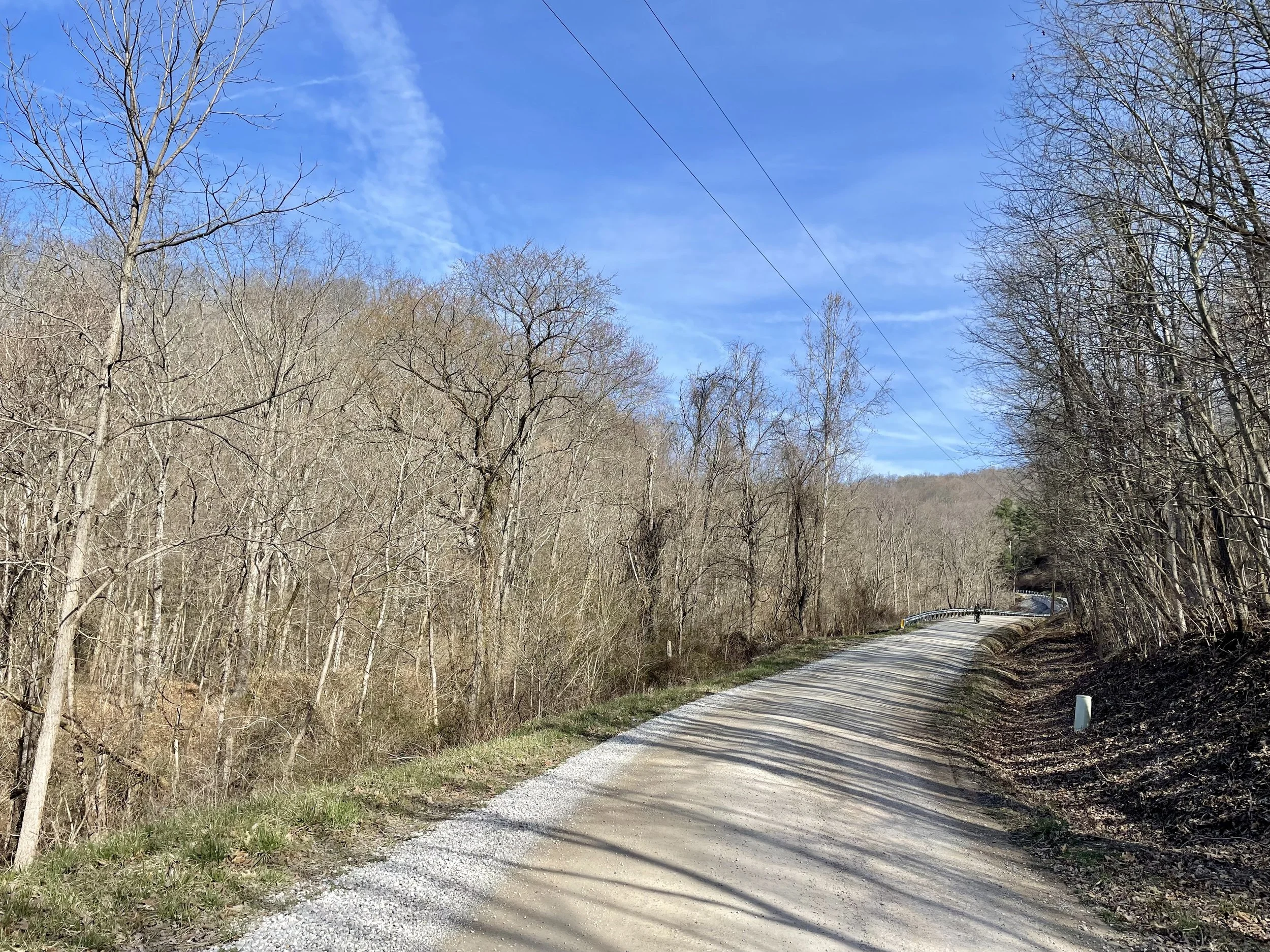
The defining geographic feature of this corner of the state is the Ohio River. We dropped off the steep ridgeline down to the Ohio River three times on this route. Each climb back out is a doozy. I counted a total of 900 ft of elevation gain coming off the river on our second climb (about 700 feet continuous climbing and another 200 ft of up-downs before we reached max elevation). I had expected them to be more gradual, but two of the climbs out were nestled between 15% and 20% and tested our legs.
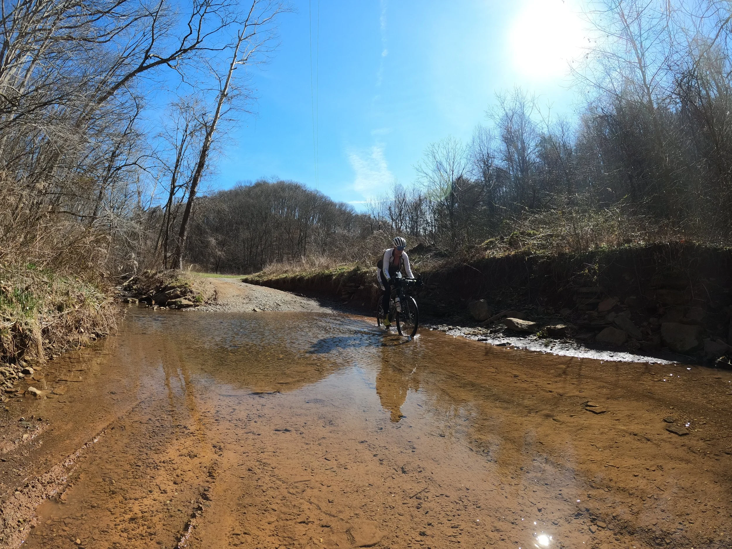
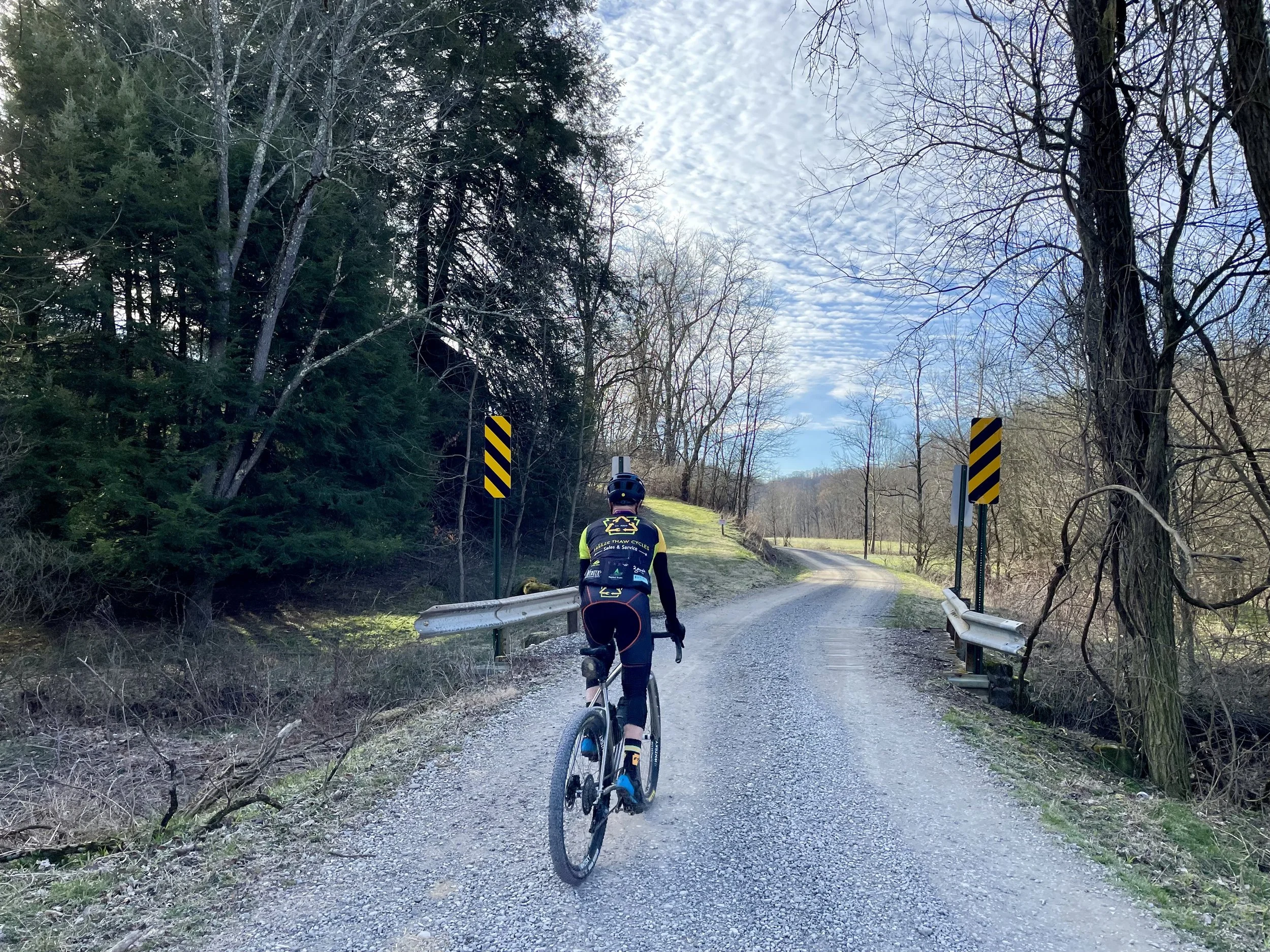
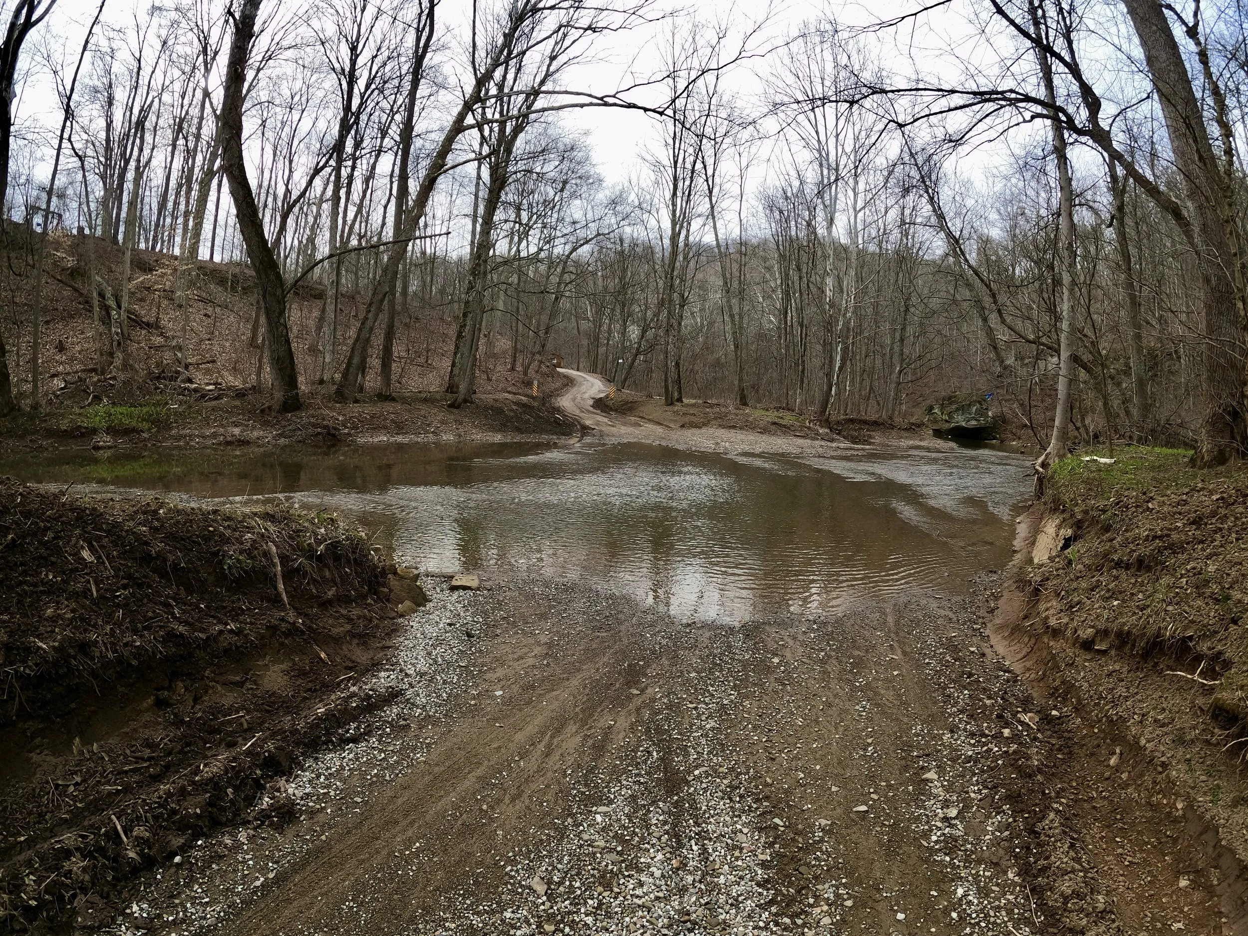
There were a handful of creek crossings today. They are all totally rideable and all the ones except for the last one can be done while keeping the feet dry (unless you are unlucky or clumsy). The last crossing is just two miles from the finish as we climb back up Wolf Pen. It is bigger and deeper and will submerge your bottom bracket. At least I got to test the integrity of my electric SRAM AXS drivetrain by fully dunking my rear mech underwater; it kept performing flawlessly.
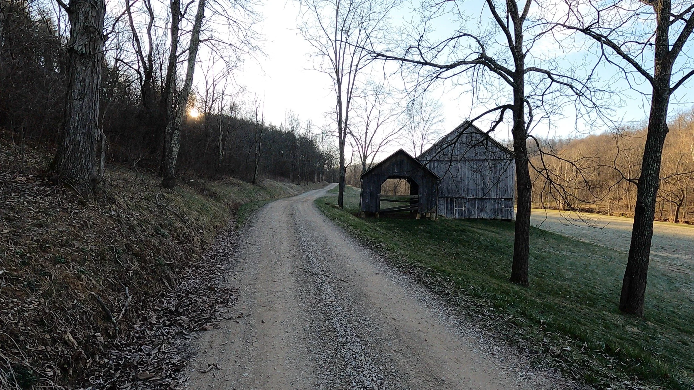
Besides the Ohio River, the other geographic quality of this route is the mix of climbing and valley traversals. There are multiple sections where you are on relatively flat valley terrain, following along a creek for several miles. These are welcome breaks from the steep climbs. The fact that we still averaged 100’ climbing per mile tells you just how hard and concentrated the climbing is. The valleys are long enough to lull you into a relaxed state before you are rudely awakened by a quick turn onto some 18% ramp that goes up and up and up. There were several false summit reveals today — where you are sure there is no possible way the road could go up anymore only to turn the corner and see it rise even further toward the sky.
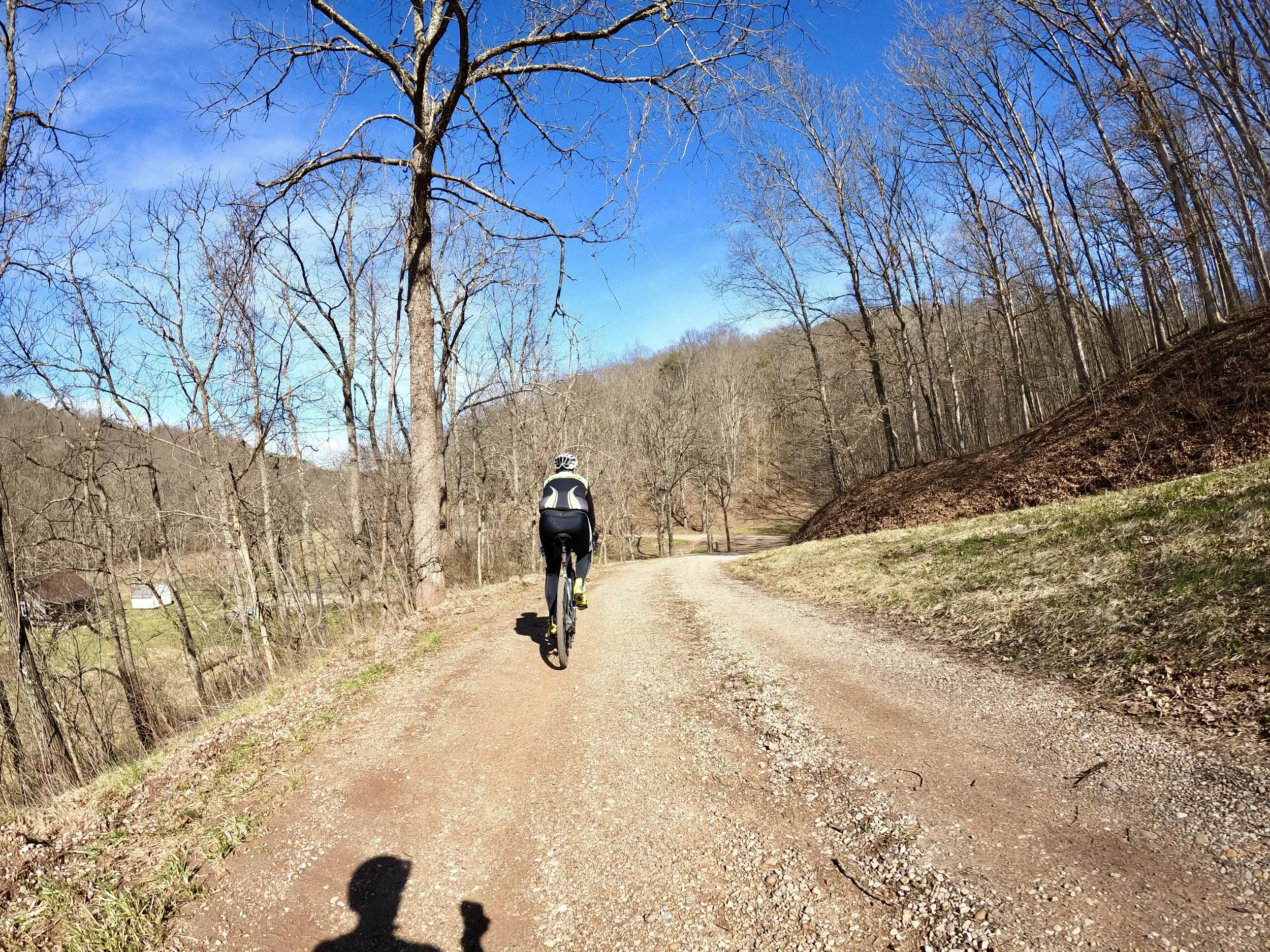
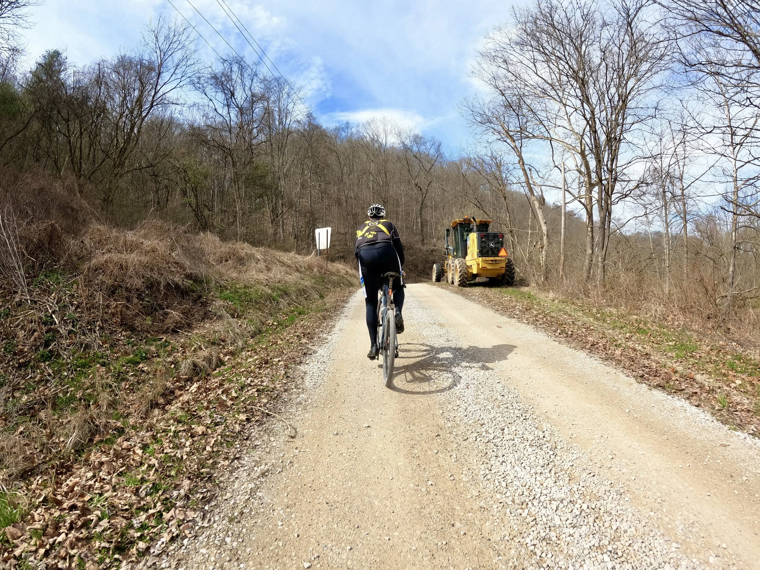
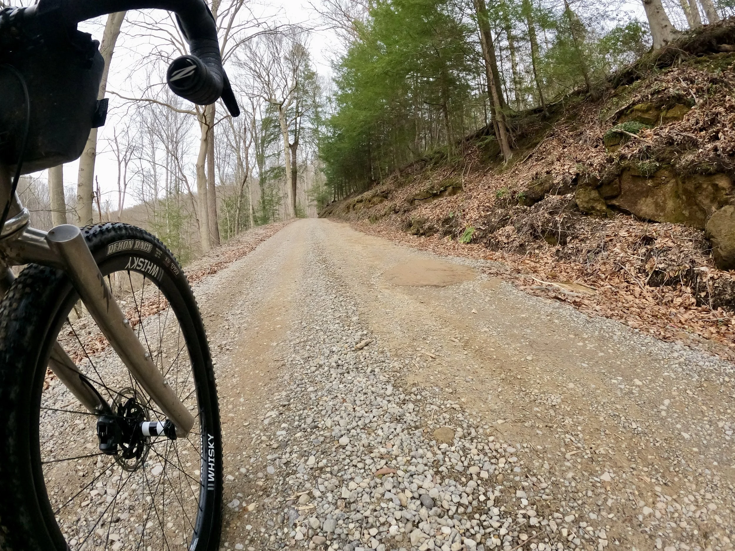
The county road crews had been super busy this week. Virtually every single gravel road we were on was freshly scraped and then spread with some new little rocks. That made most every road soft and sketchy and extra work. But the roads were in super nice shape.
Along with the long driving distance and super big climbs, the other challenging aspect of riding in this SE corner of the state is the lack of amenities. It is genuinely hard to find refueling options. Even dropping down onto SR7 along the Ohio River, things are few and far between. And most small towns along the river don’t have restaurants or even gas stations. You’ll want to plan ahead and scout out your stopping options. They are far apart. Consider bringing a hydration bladder or third bottle and extra food depending on how long you plan to be out. With the cool temps, I was able to make do with 2 bottles and up to 50 miles between replenish stops.