Recap: Corning Climbfest 33
What does it take to develop a gravel route? I was looking at the Ohio Routes Overview Map and noticed that the area east of Corning, OH was fairly sparse on routes. The Wildcat Hollow and Sunday Creek Massacre routes are the blue lines on the map and the purple line is the Glouster-Burr Oak route. But there is a big gap between Corning and McConnelsville. So I looked on Google Maps and saw what I thought were gravel roads north of Ringgold and then headed over to Ride with GPS to map out a route. This area is notorious for climbing. Nick Tepe developed the Glouster-Burr Oak route recently and the elevation gain for the 33 mile route is 3800 feet. I sent over the route to Matt Kretchmar who provided some observations including the inclusion of 555 which is a paved windy road favored by motorcyclists. He also said that the area is a goldmine of gravel roads so that was encouraging.
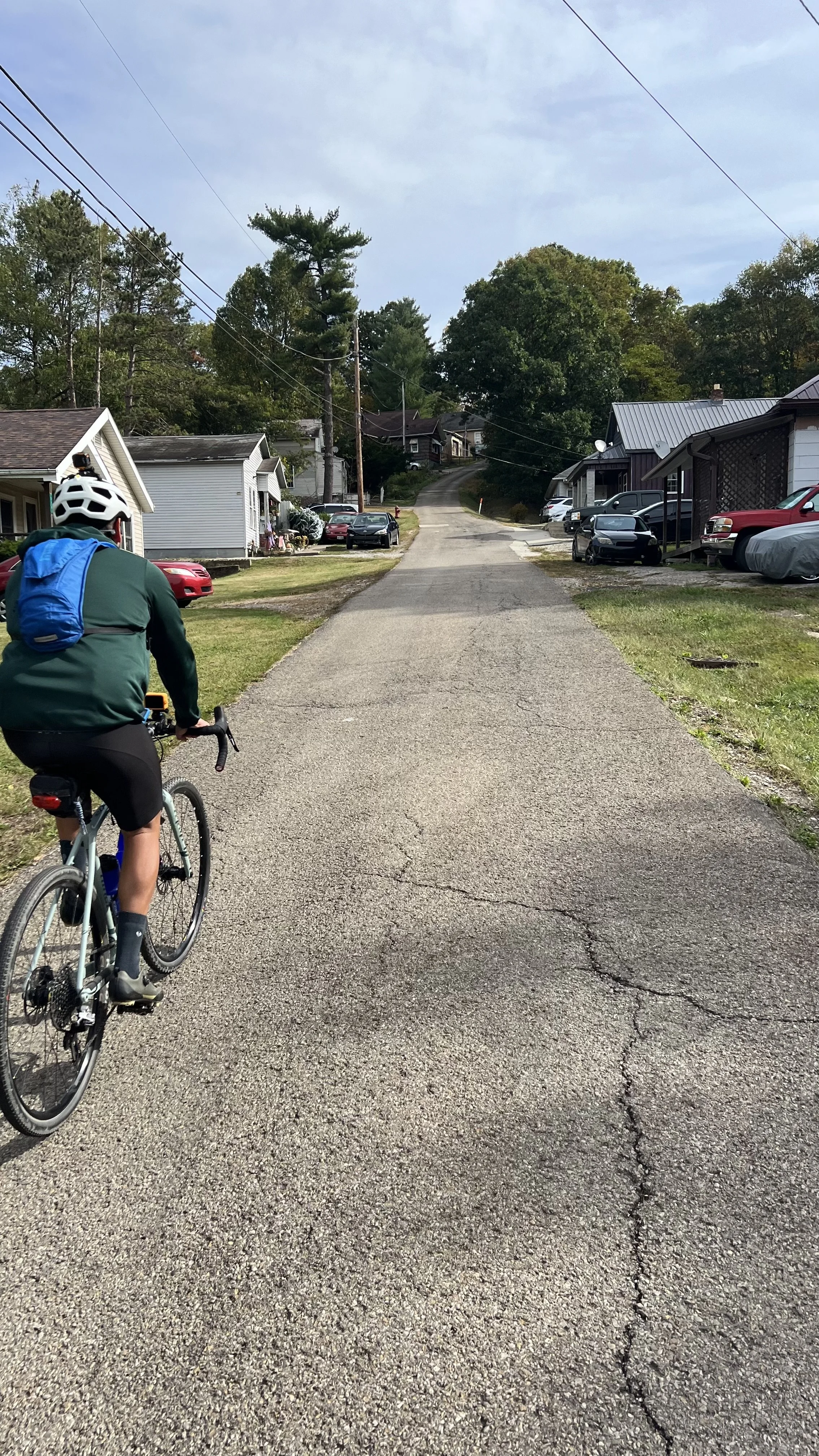
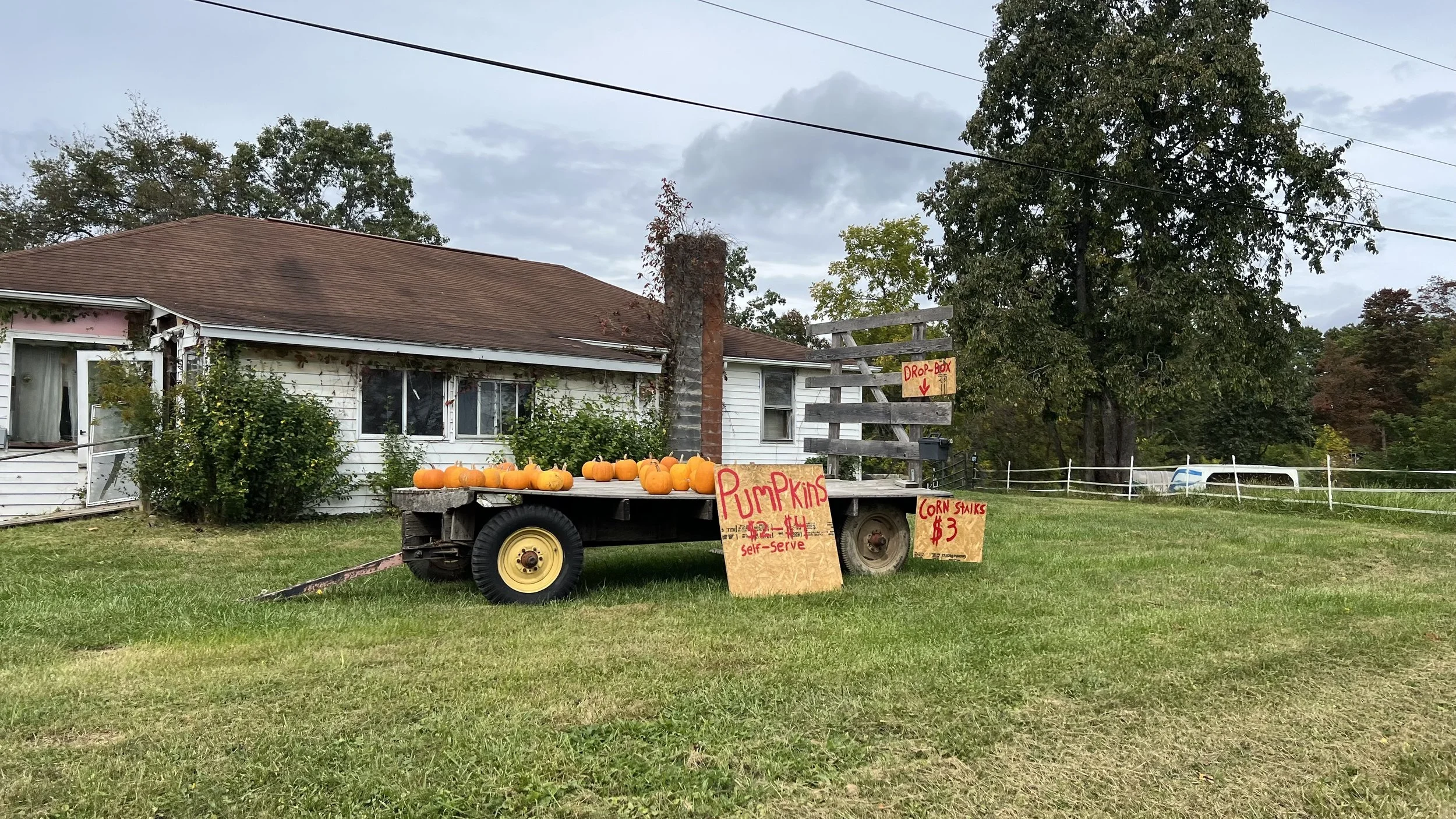
I reached out to the mayor of Corning to ask for parking suggestions He said Corning Library is closed on Sunday so we parked in their lot. There is also parking across 13 in town on city streets. Many of the Little Cities of Black Diamonds are trying to reinvent themselves to the outdoor crowd including gravel cyclists.
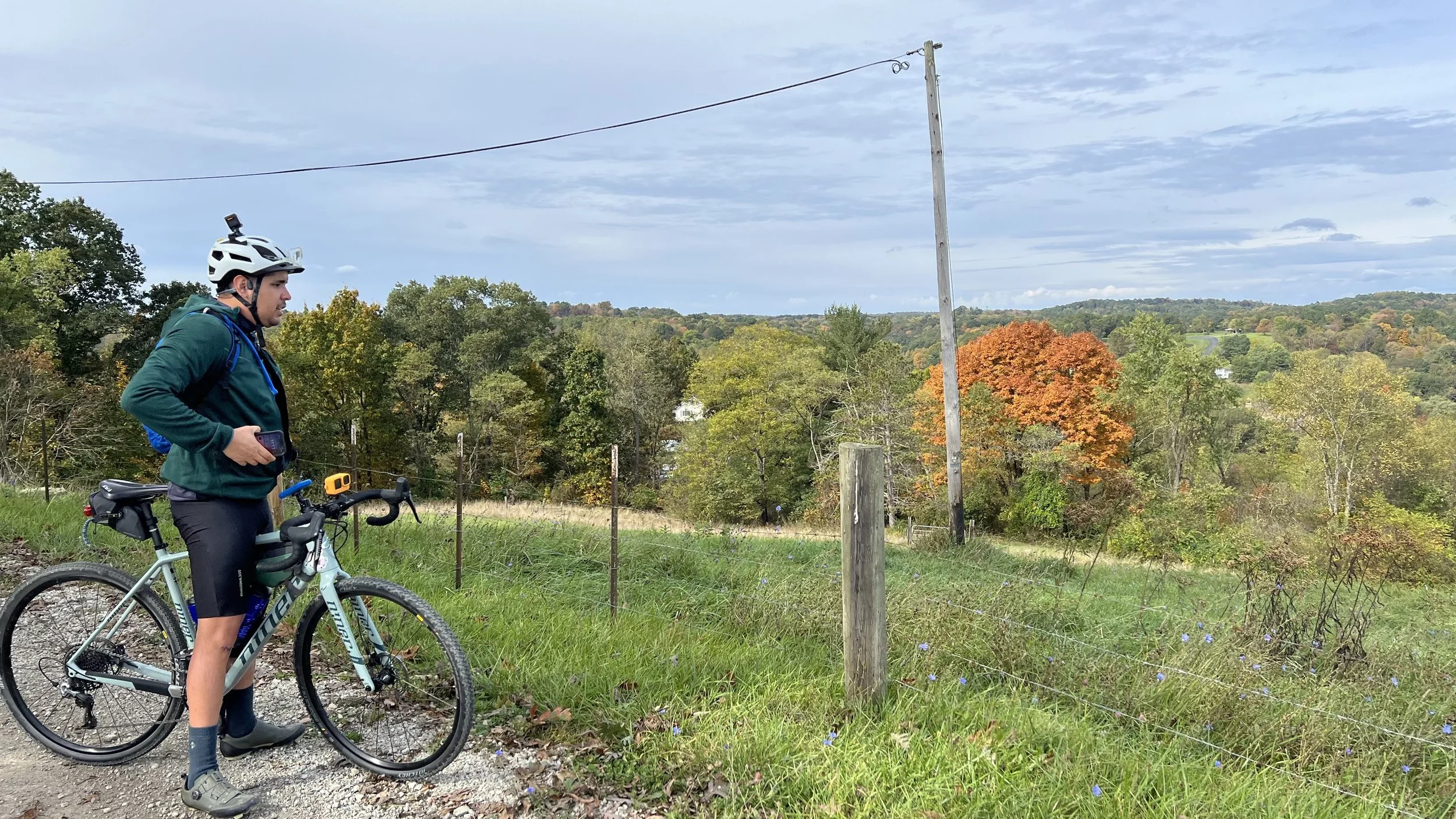
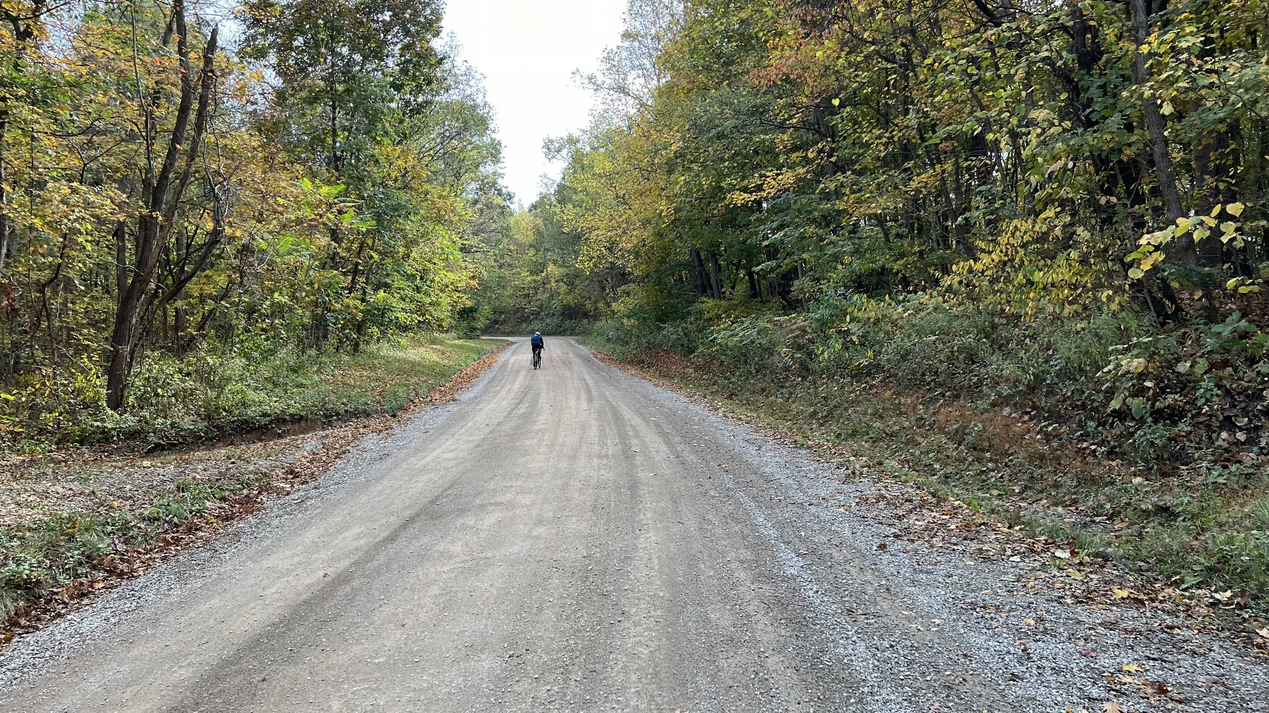
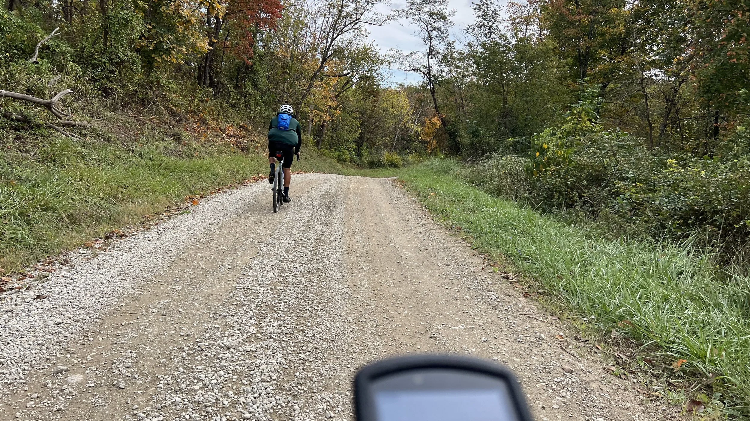
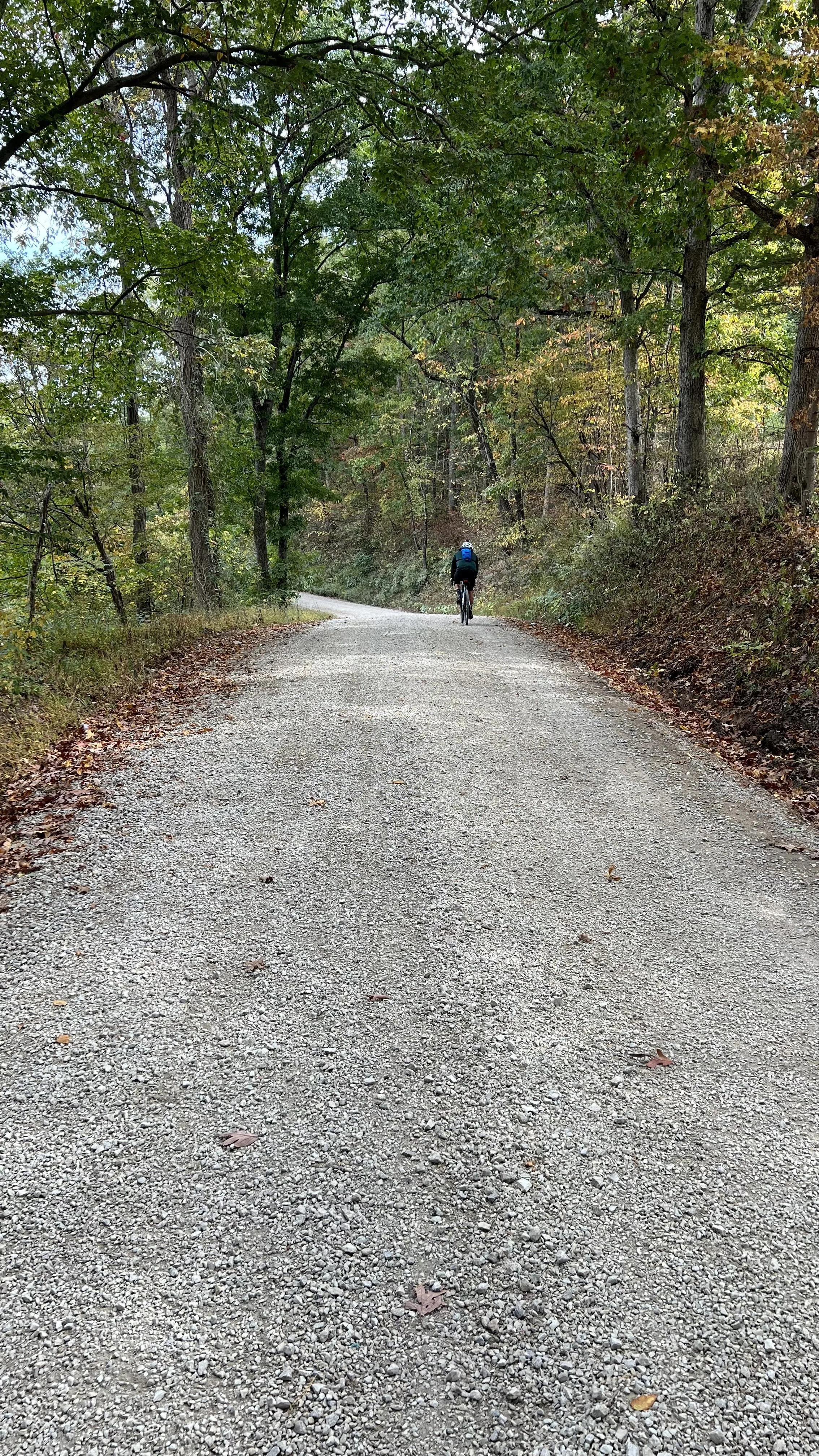
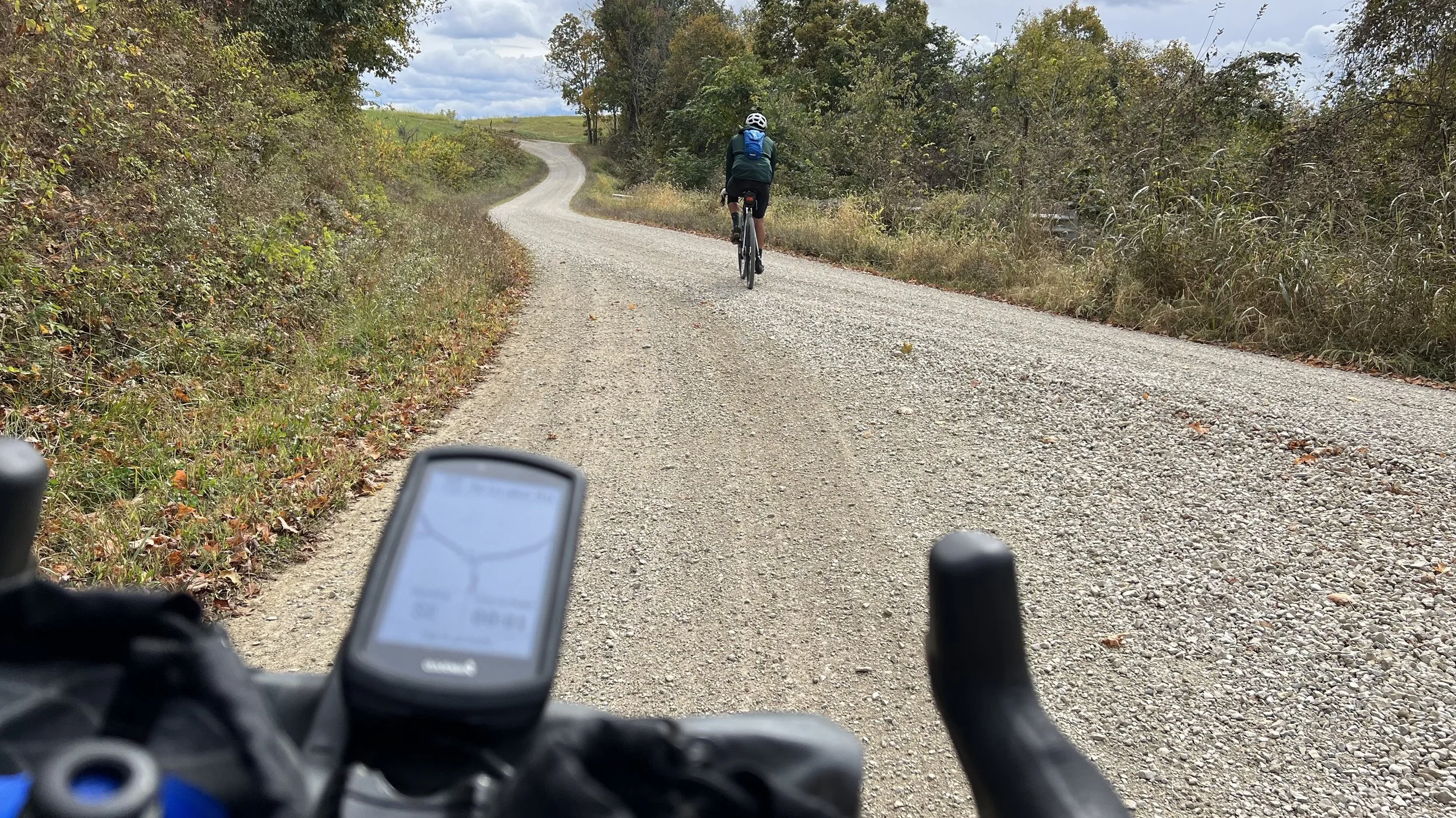
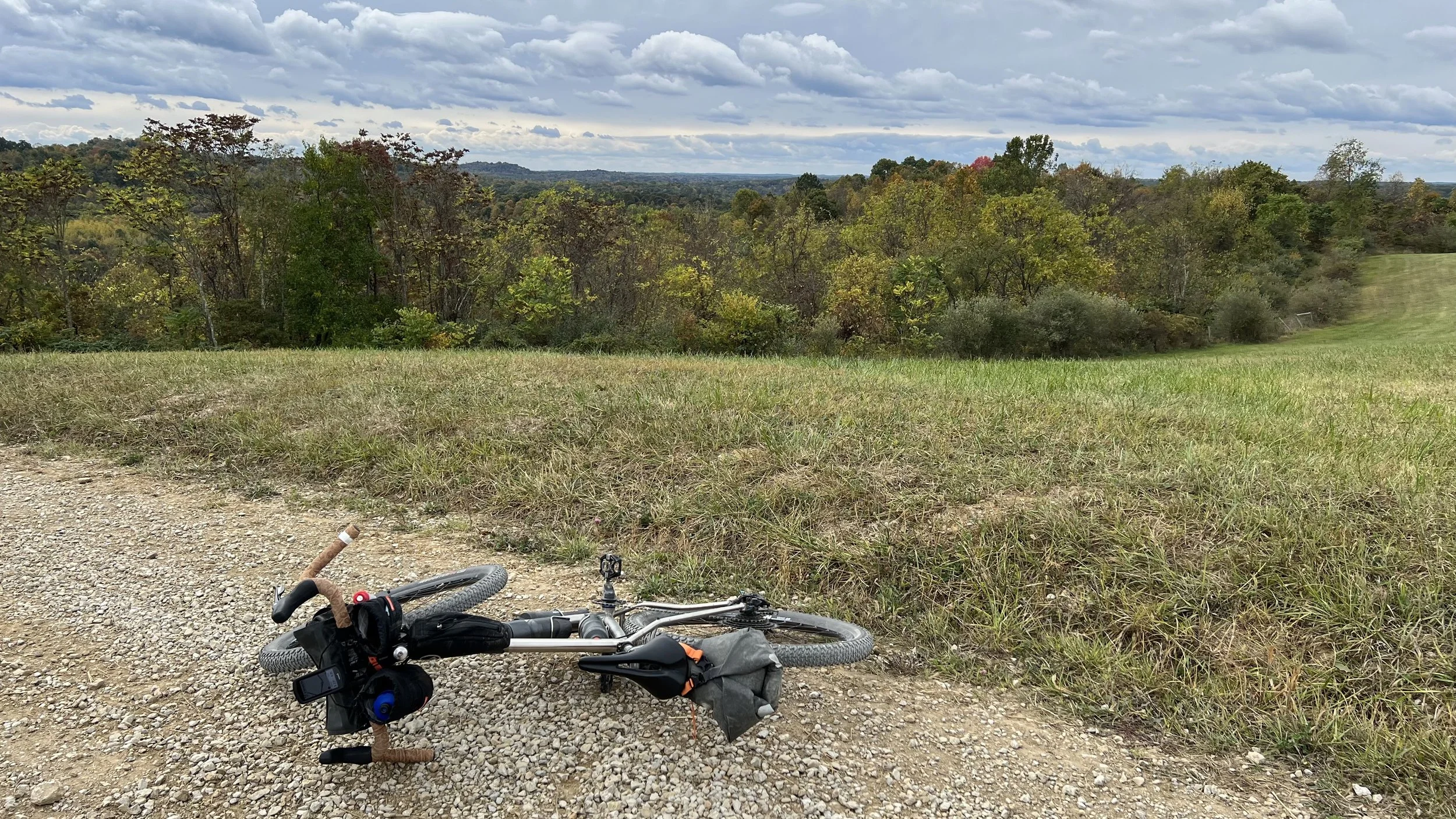
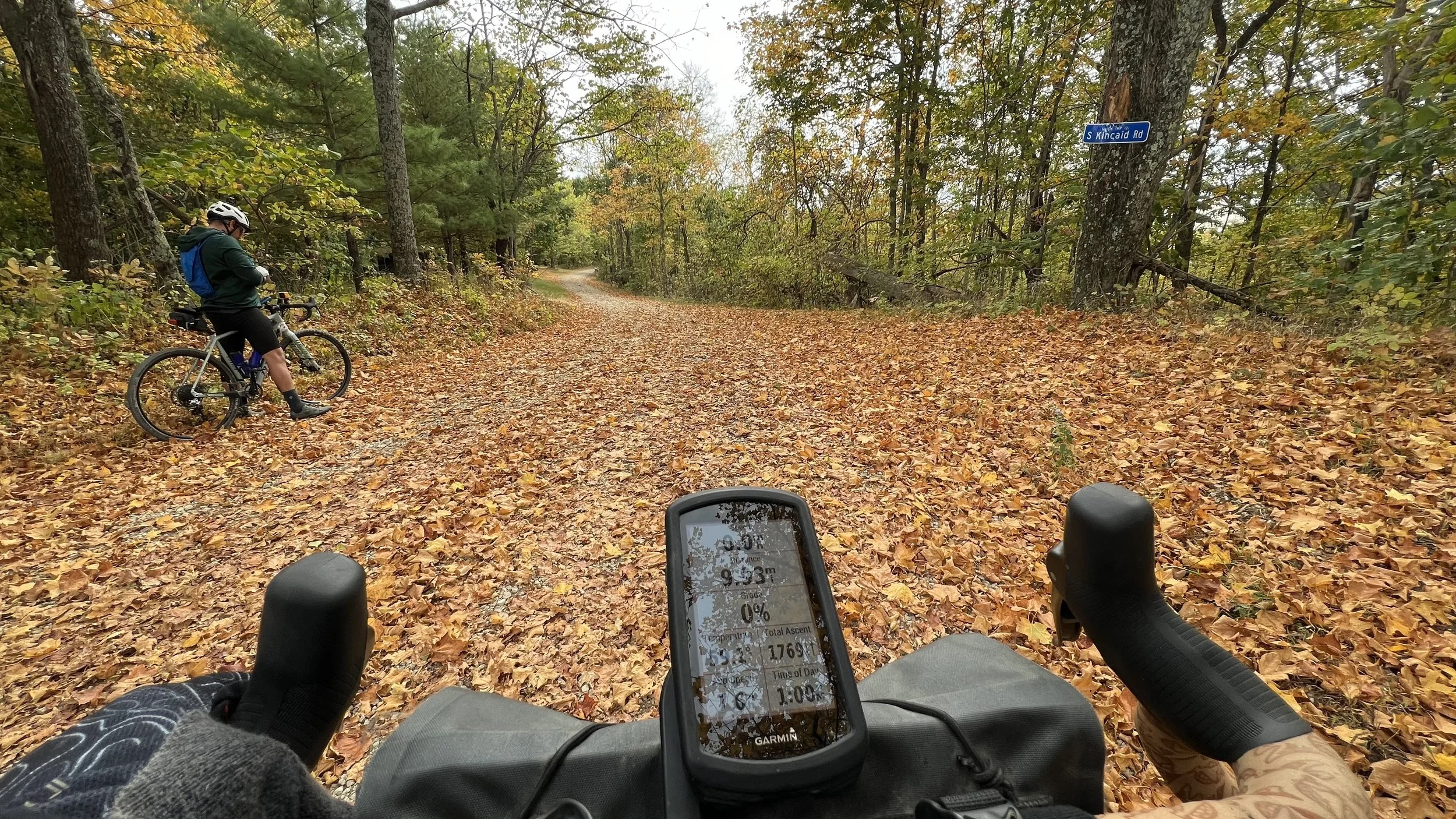
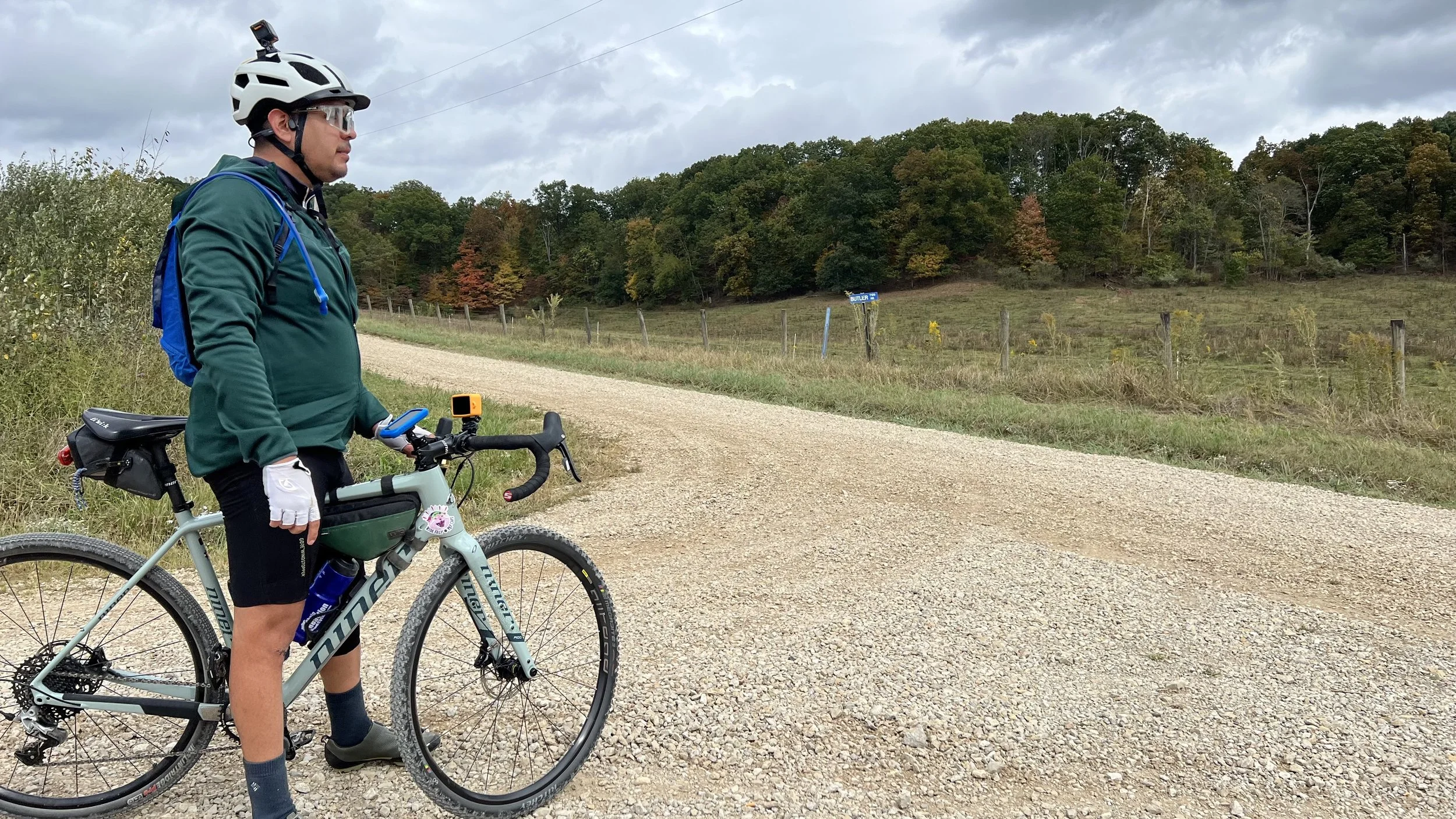
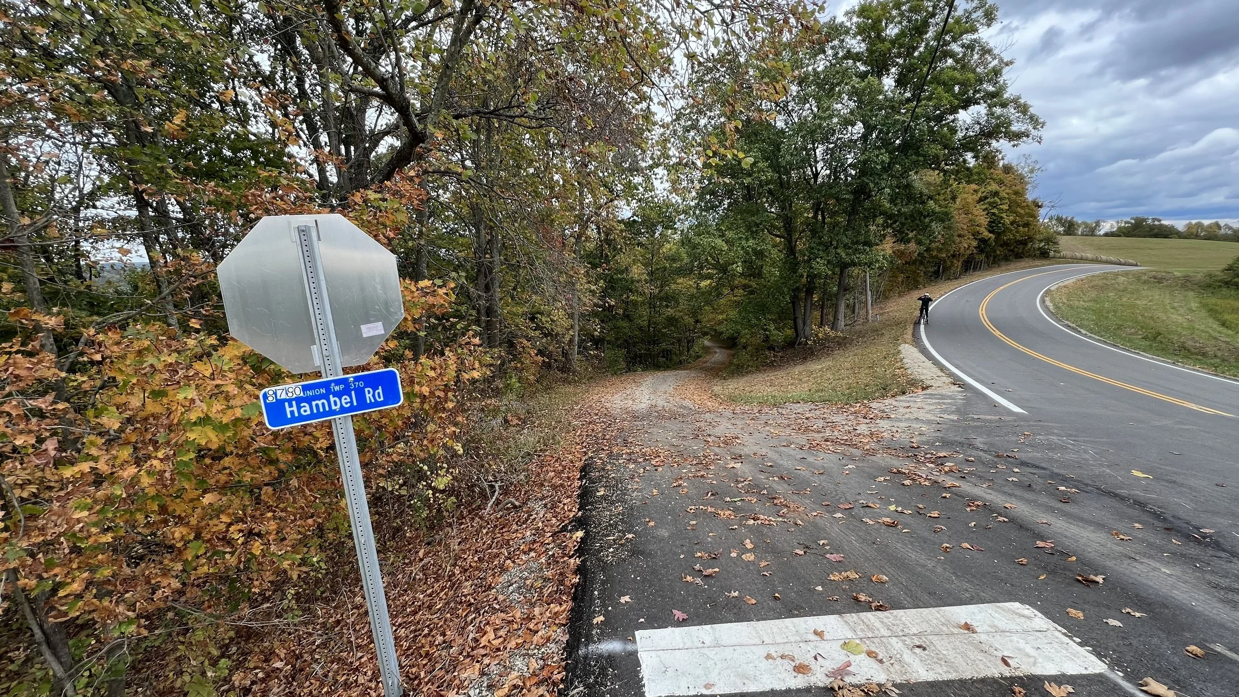
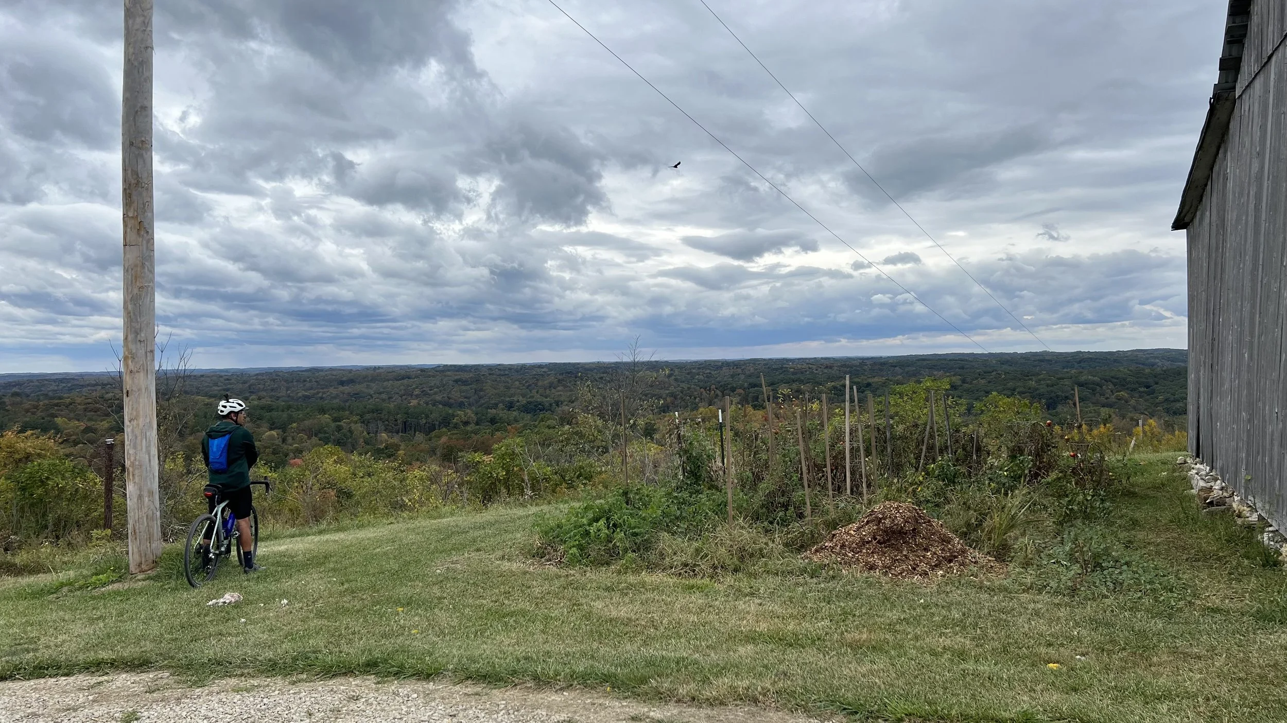
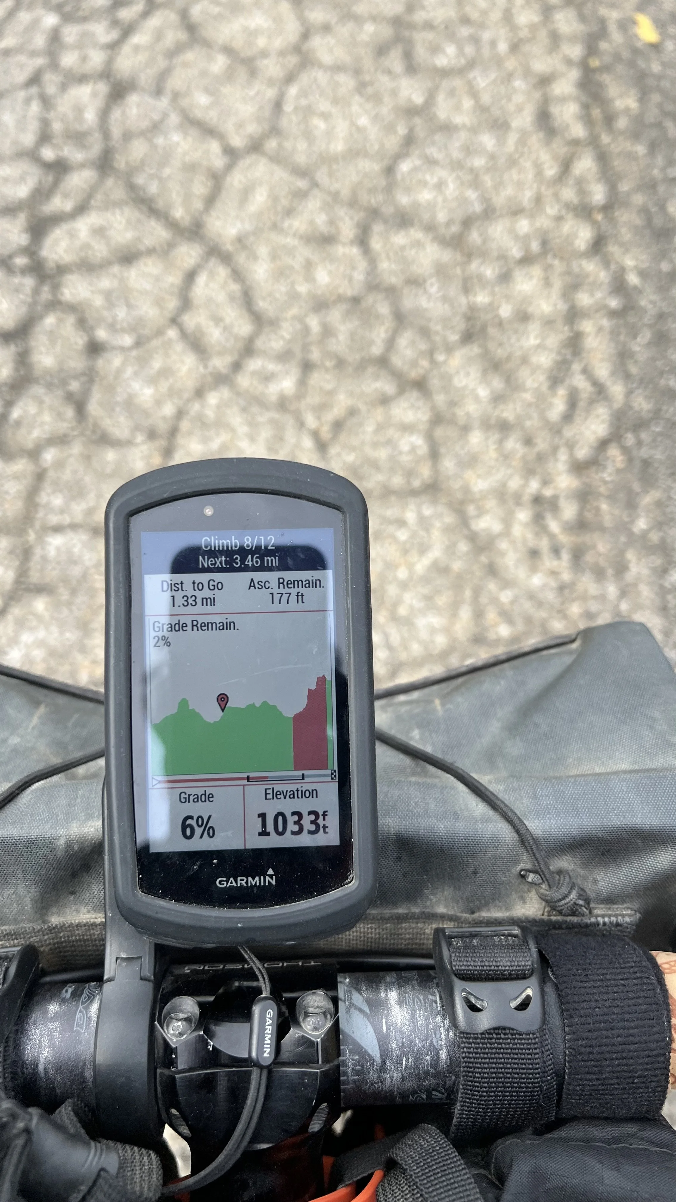
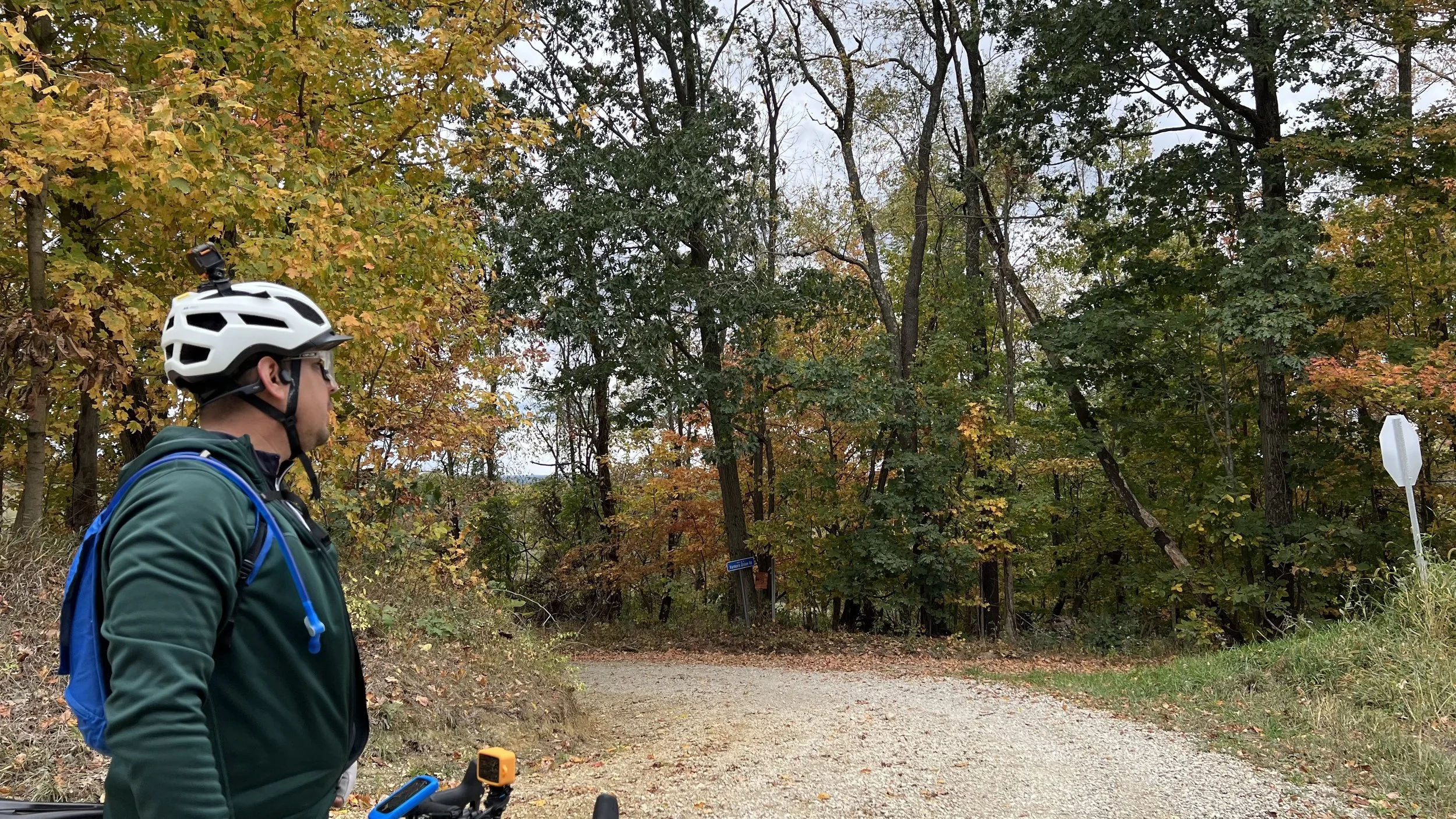
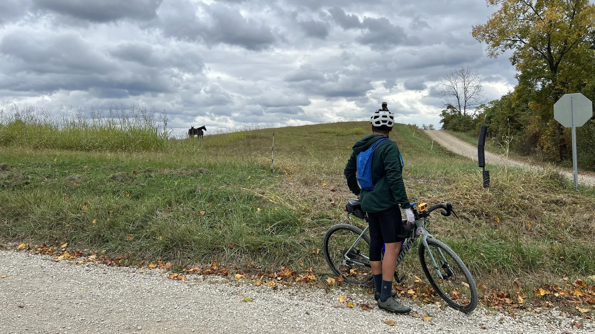
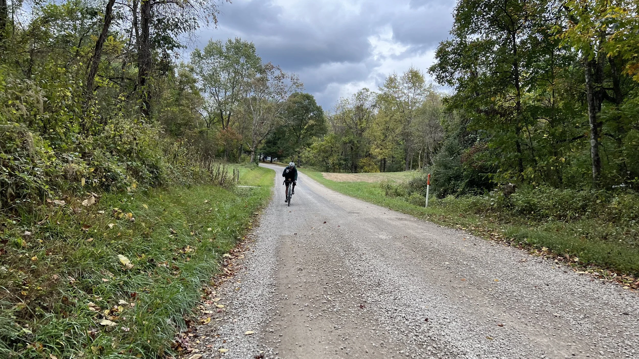
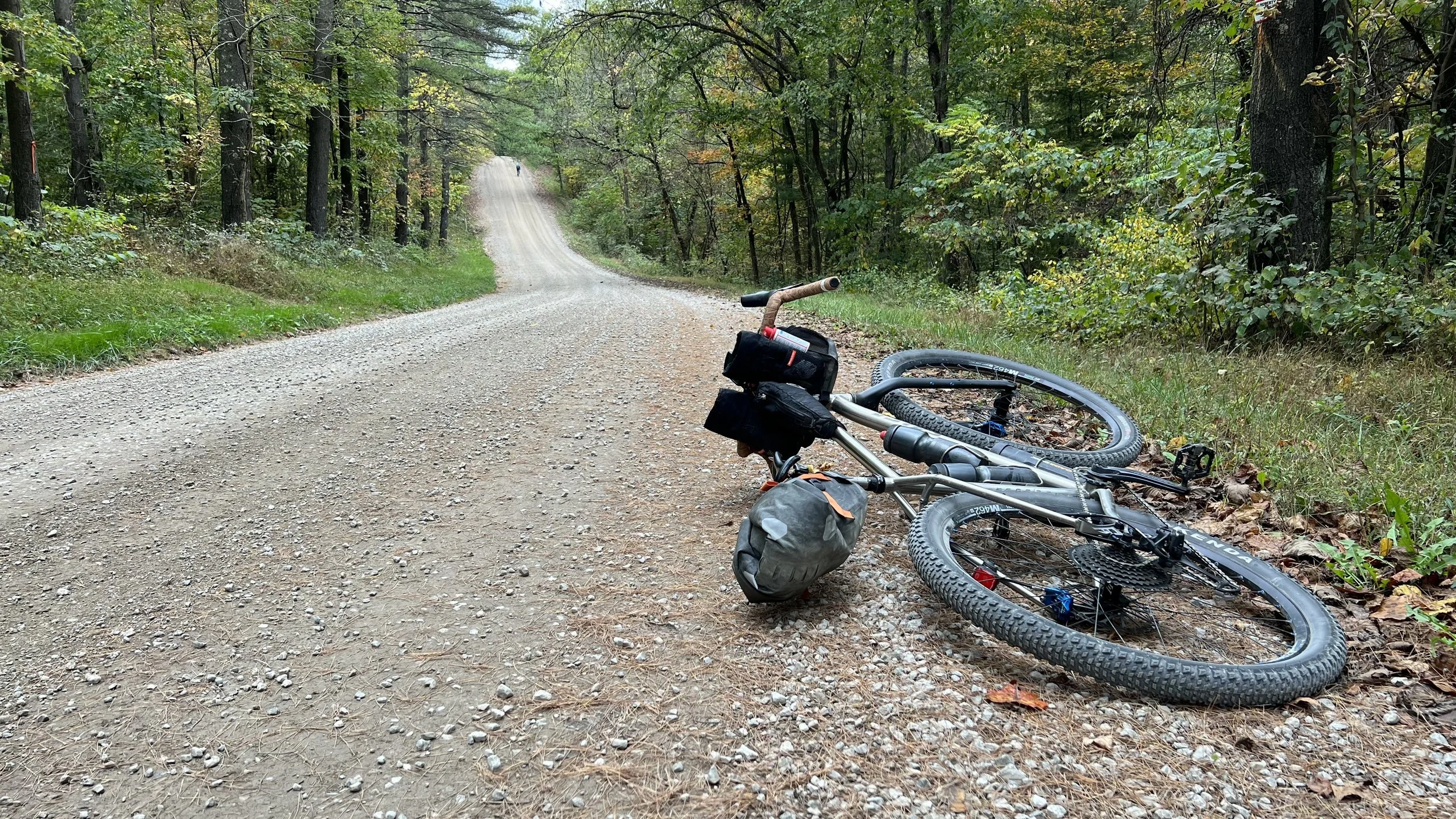
Ground truthing - My friend Pedro explored with me. The route had us climb up Main St to the ridge but I noticed that Corning St (Garmin maps say Comly St.) also parallels Main St. We turned left onto the road and it turns into Jones St and the climbfest begins. My Garmin said 20% grade as we made our way up to the top. Back on the route and onto the gravel. My Garmin noted 12 climbs over the route, but I think there is voodoo involved in the parameters for deciding what constitutes a climb. Some climbs were short and not so steep while at least one covered 4 miles and multiple ridges. Go figure. Lots and lots of climbing, even on the ridge tops with short and steep pitches.
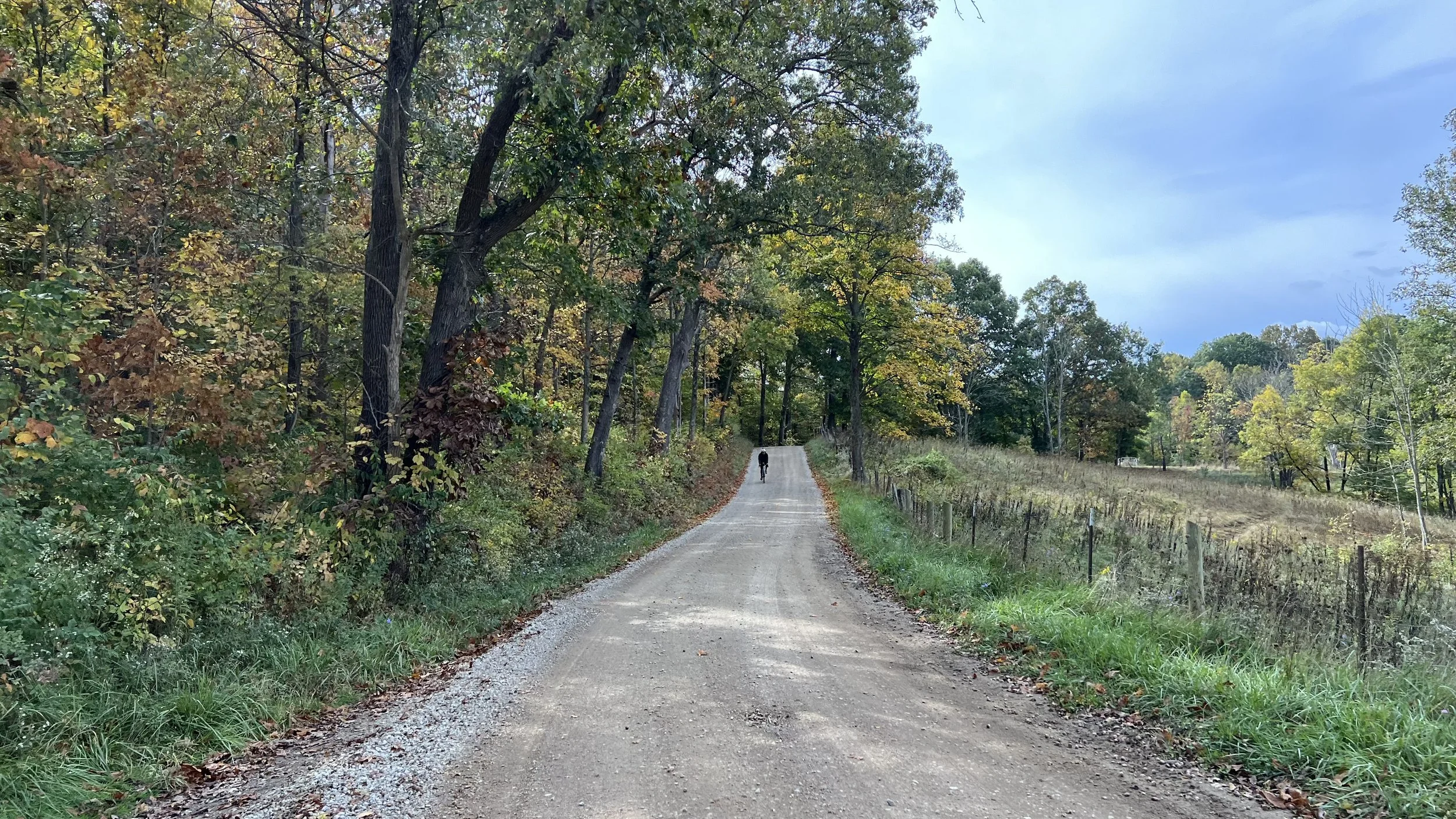
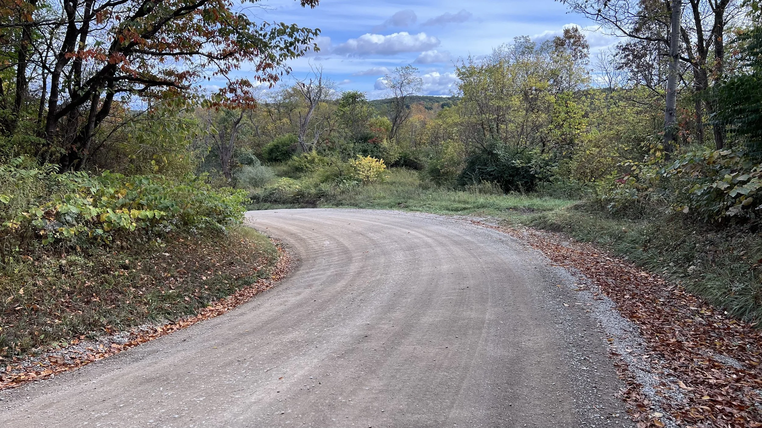
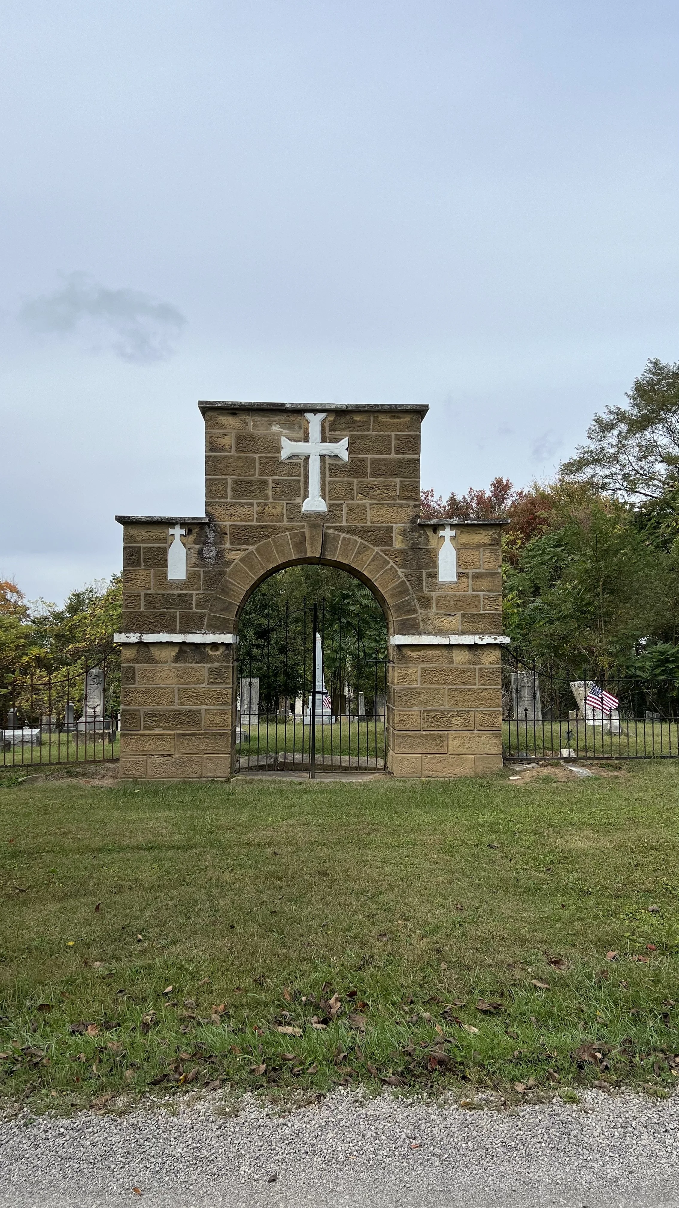
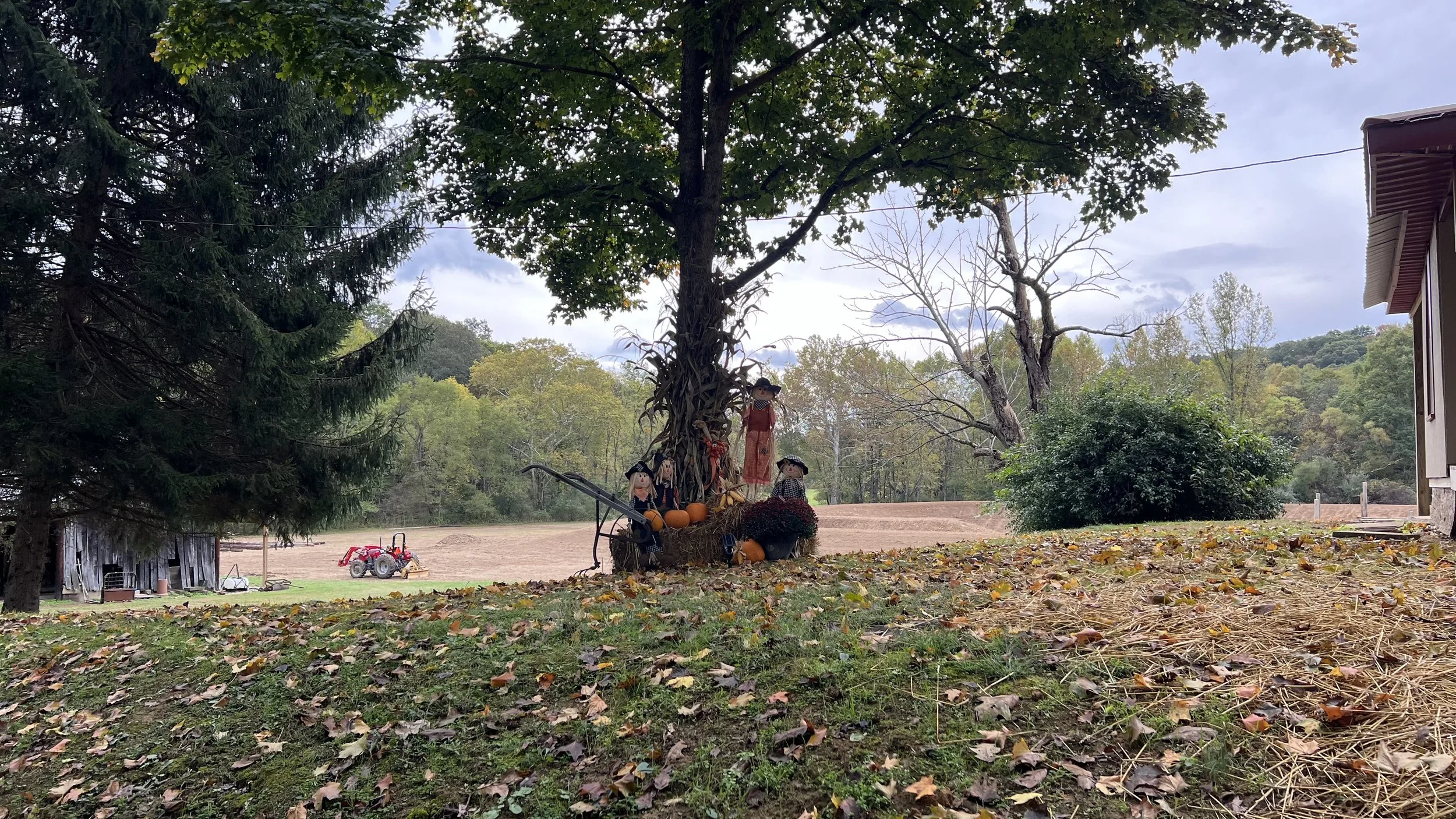
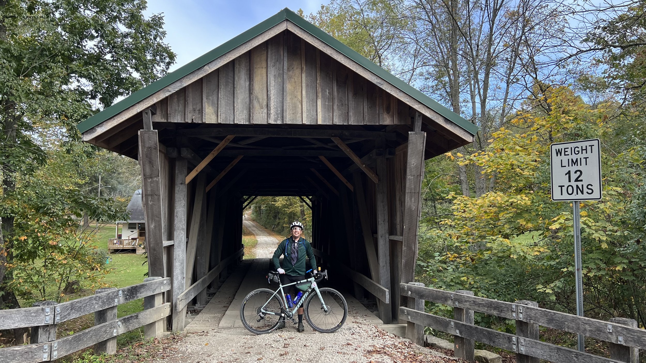
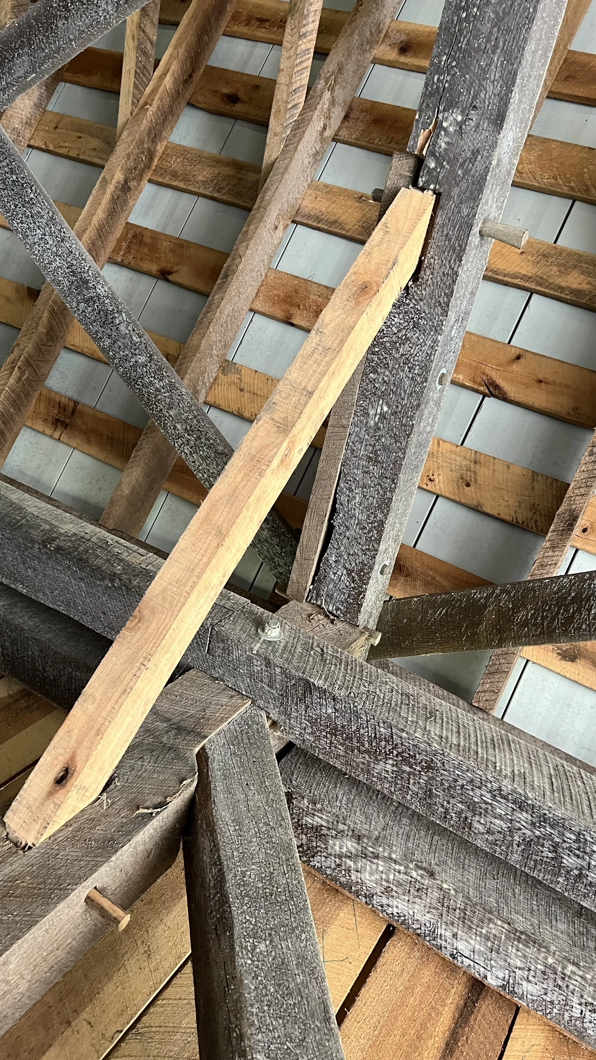
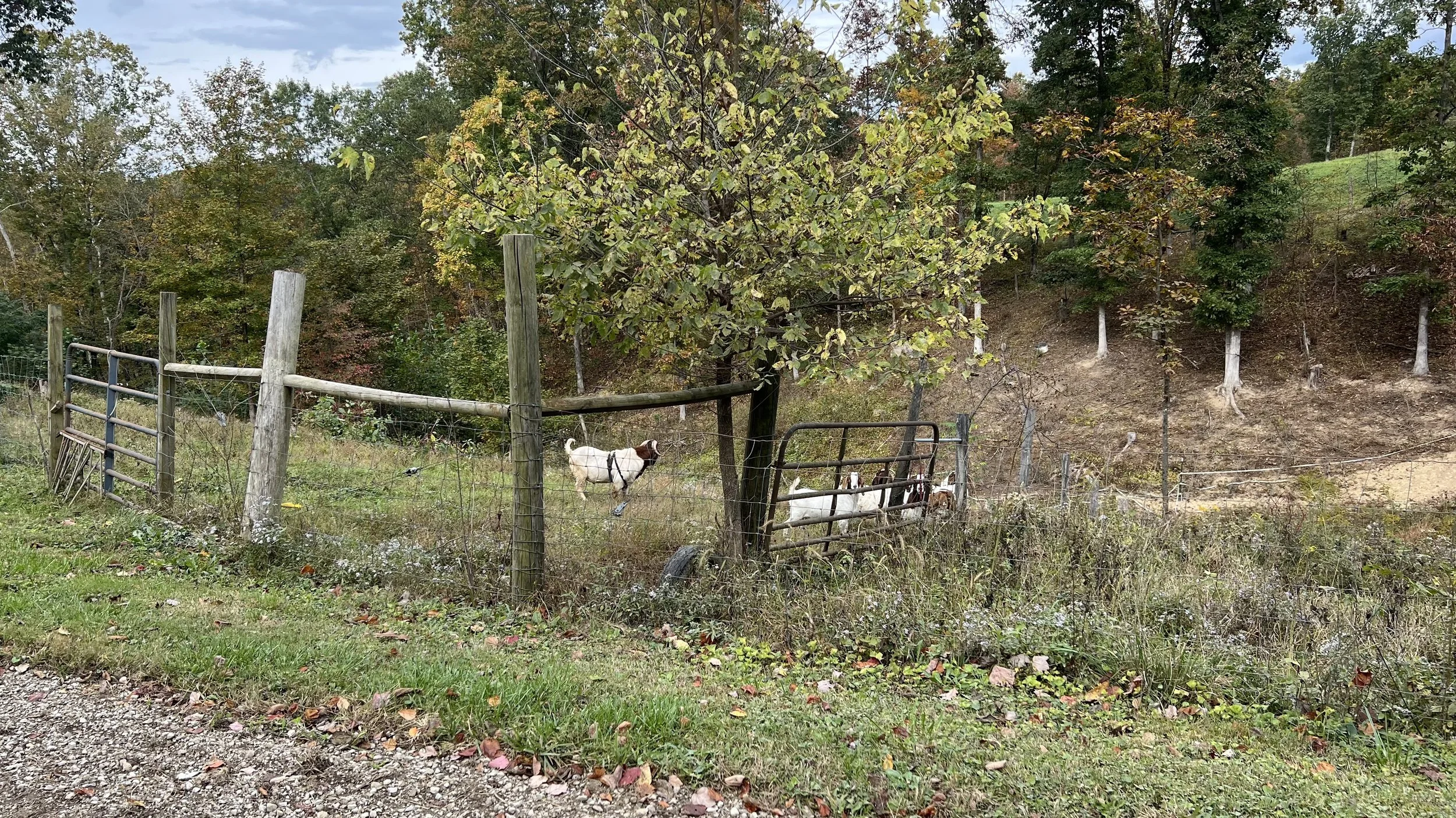
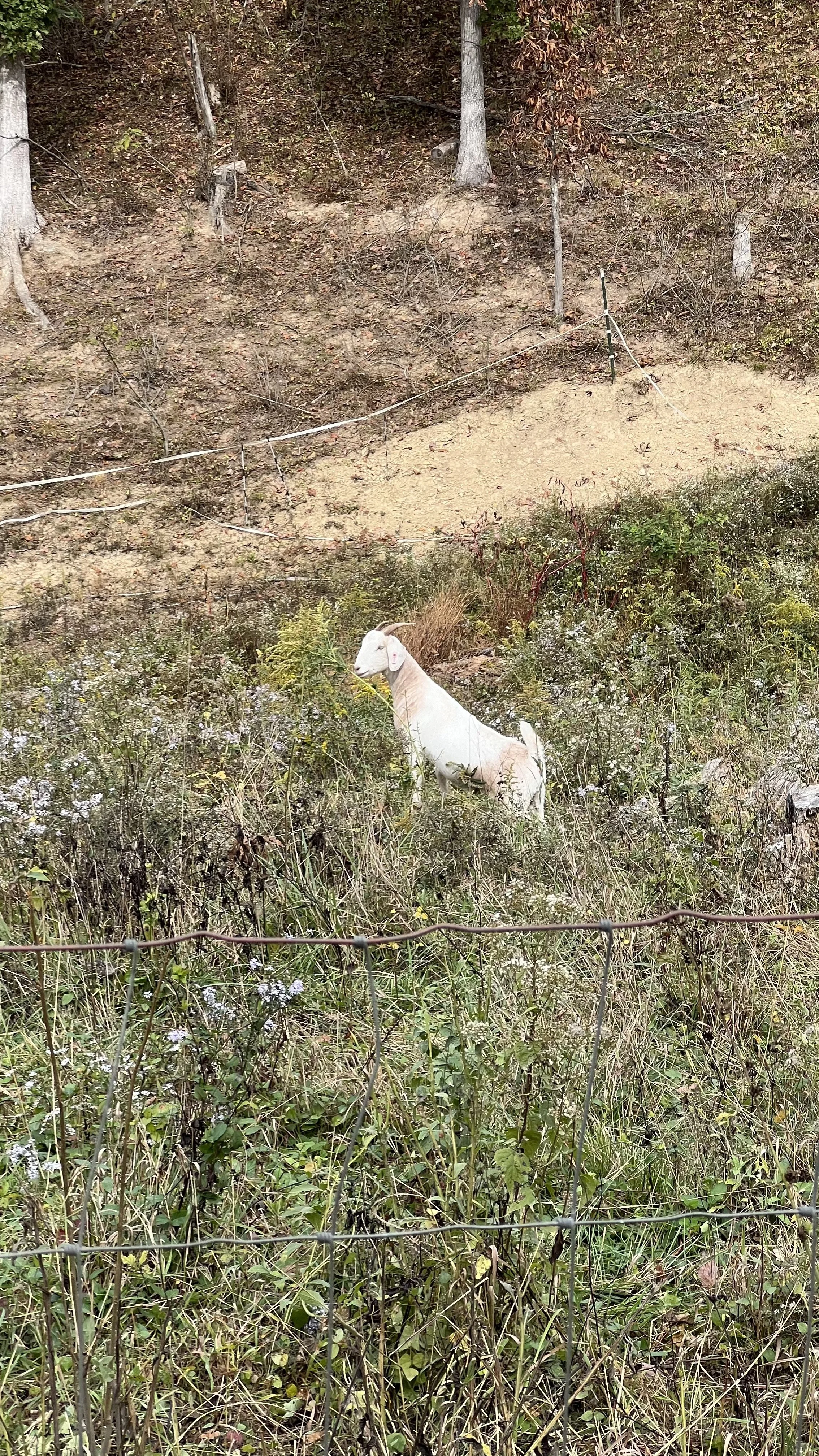
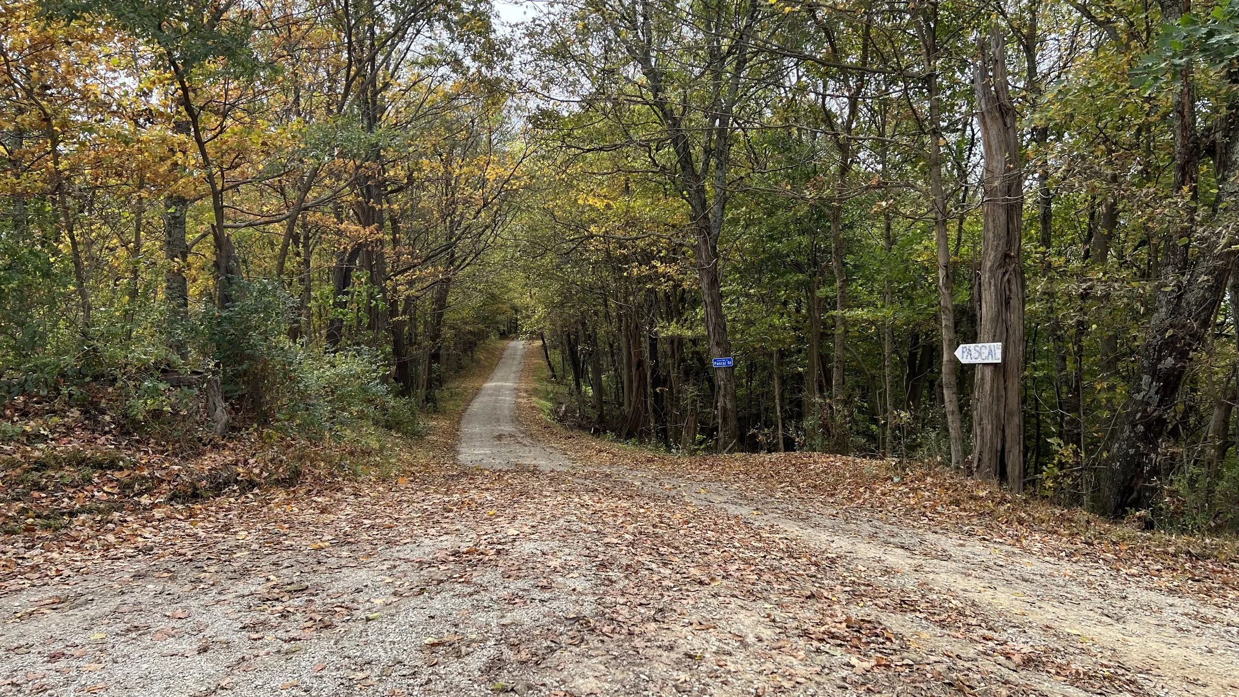
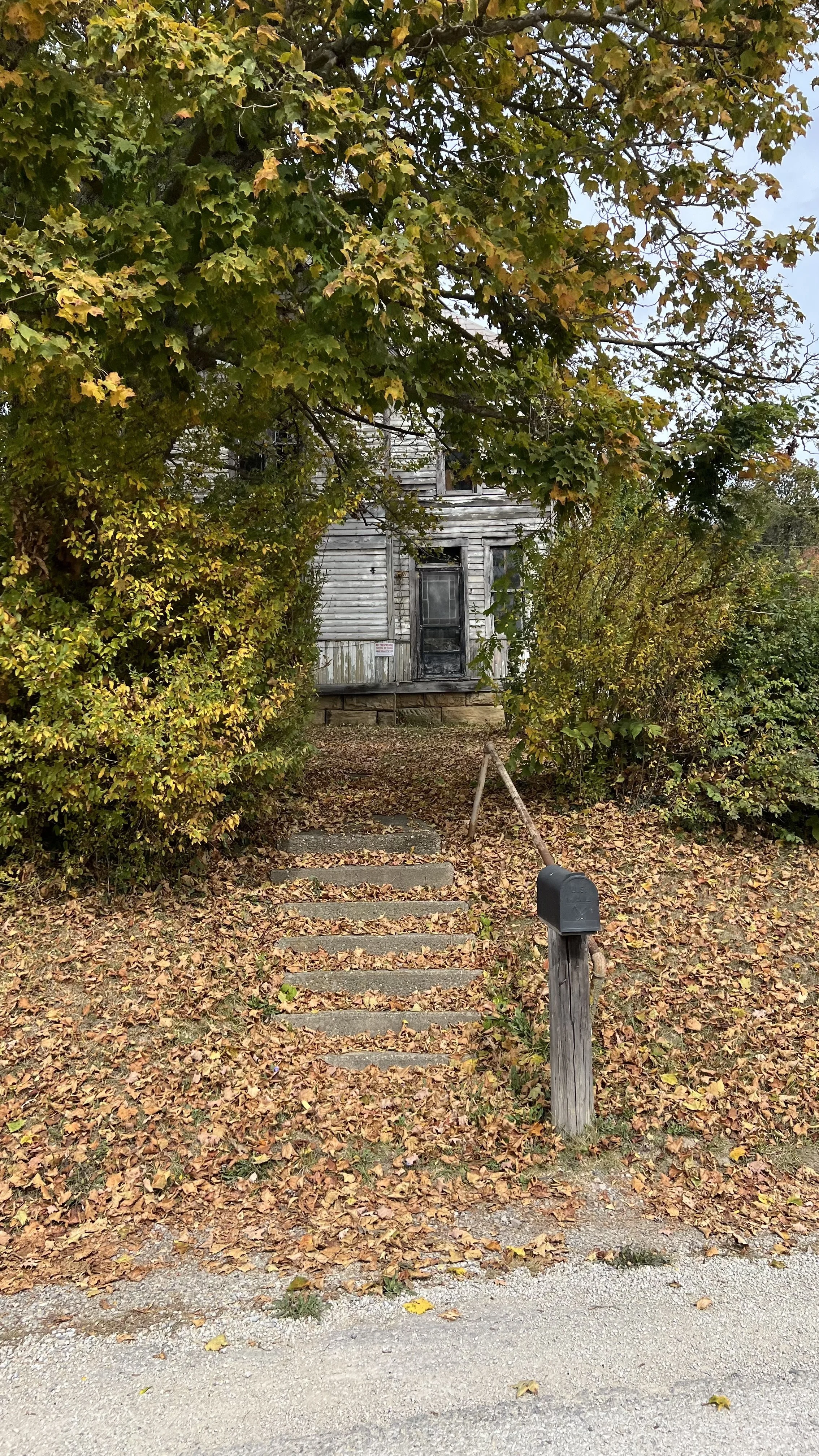
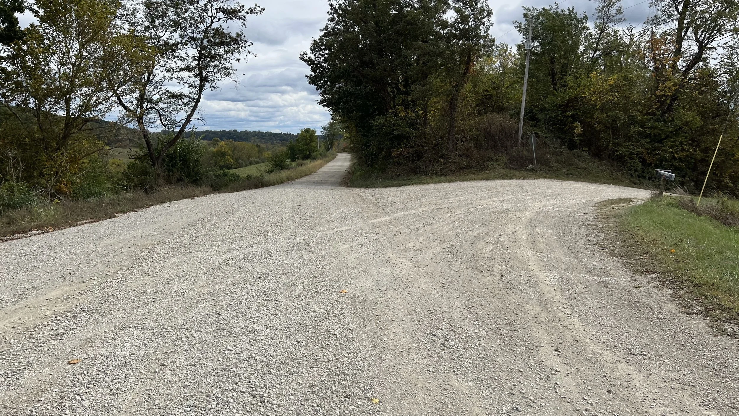
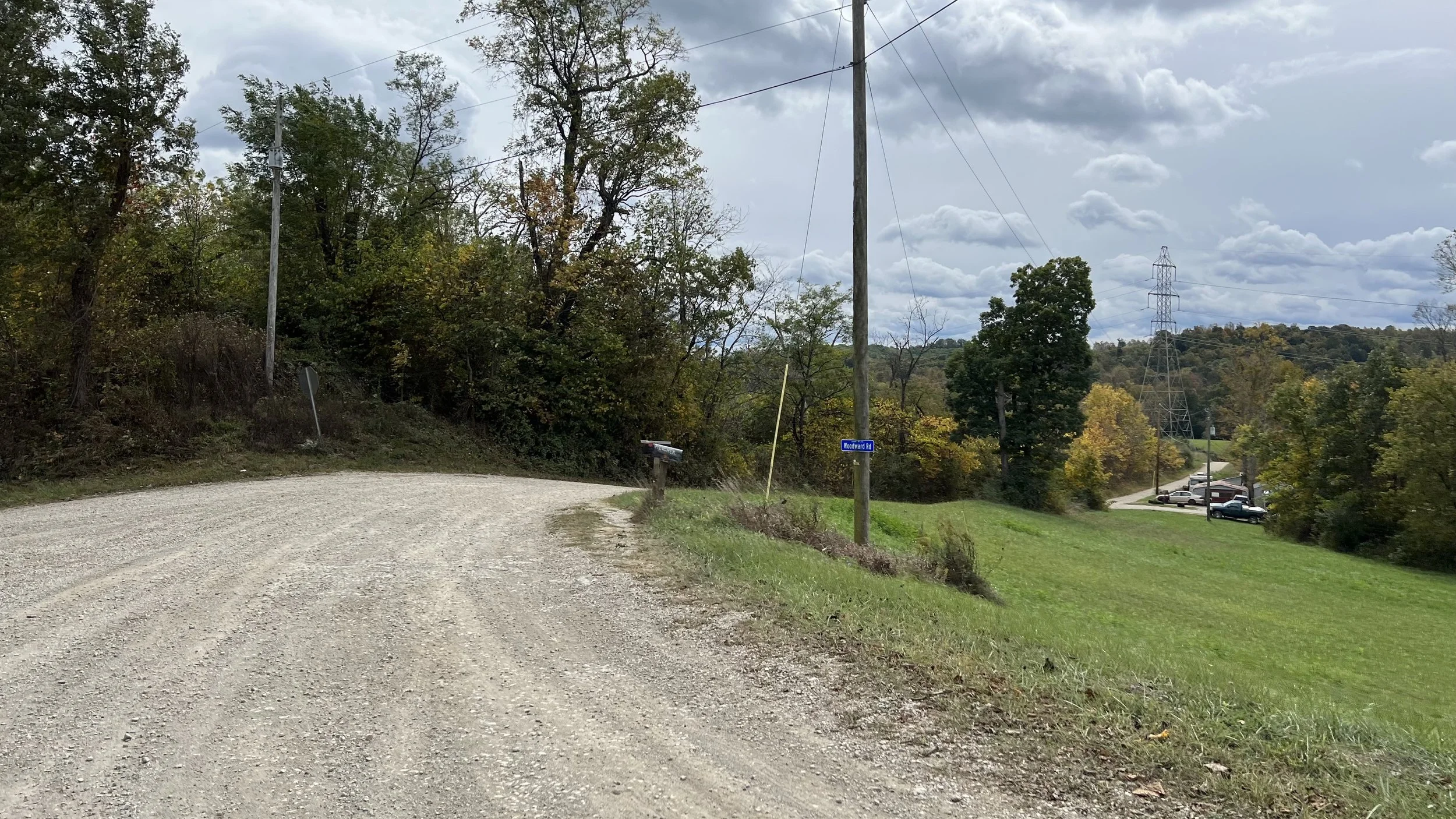
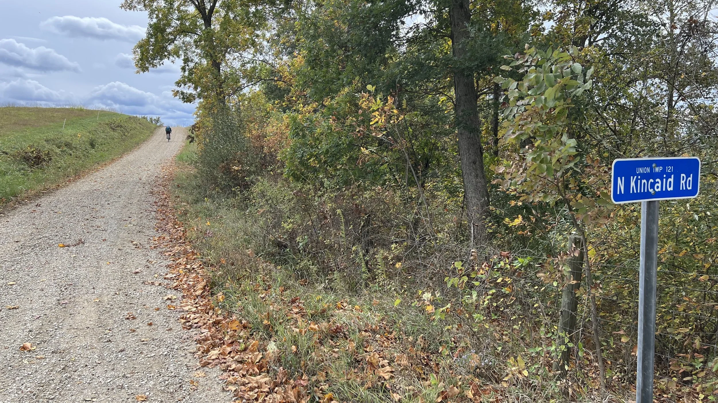
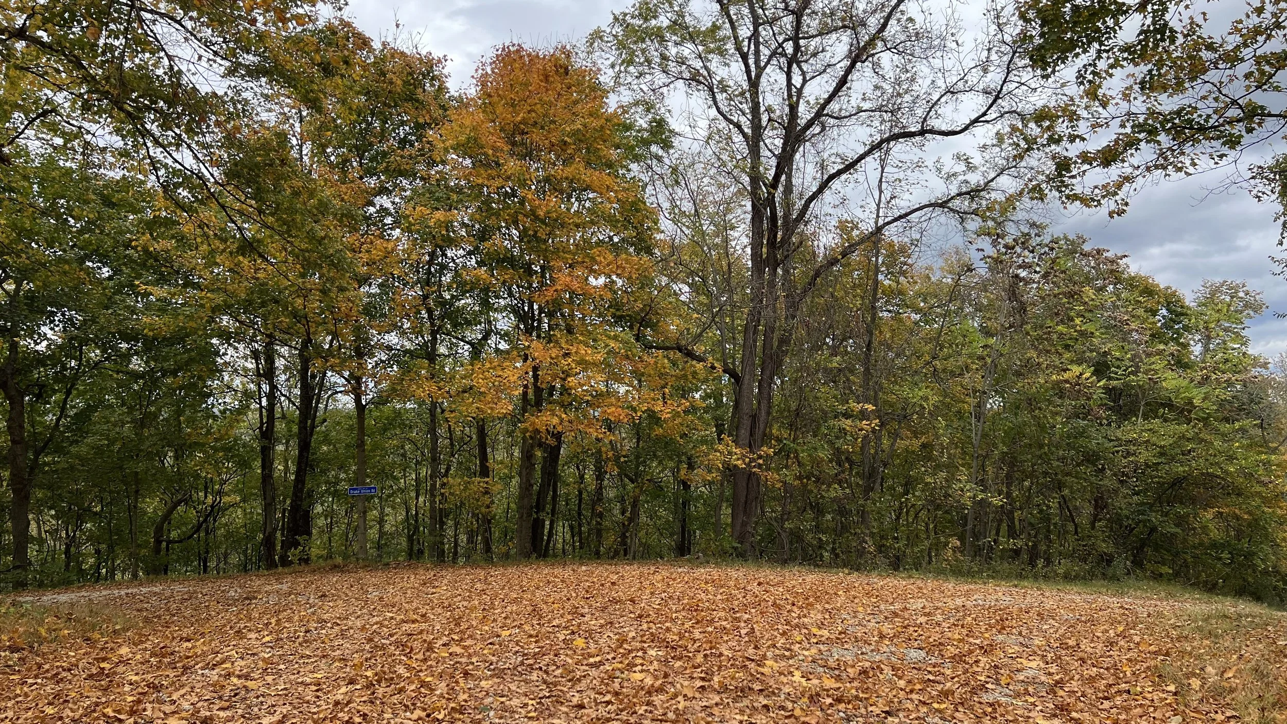
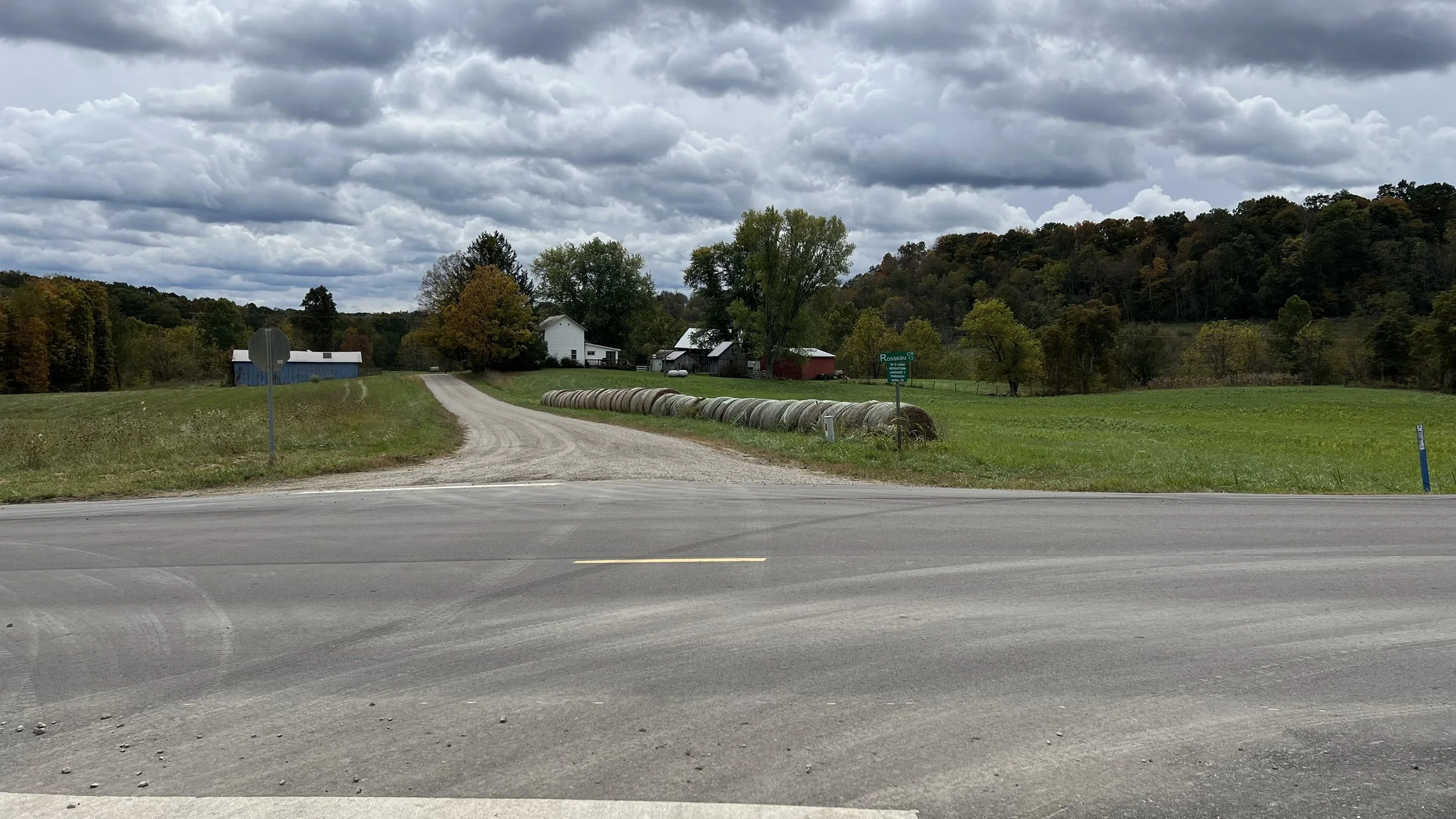
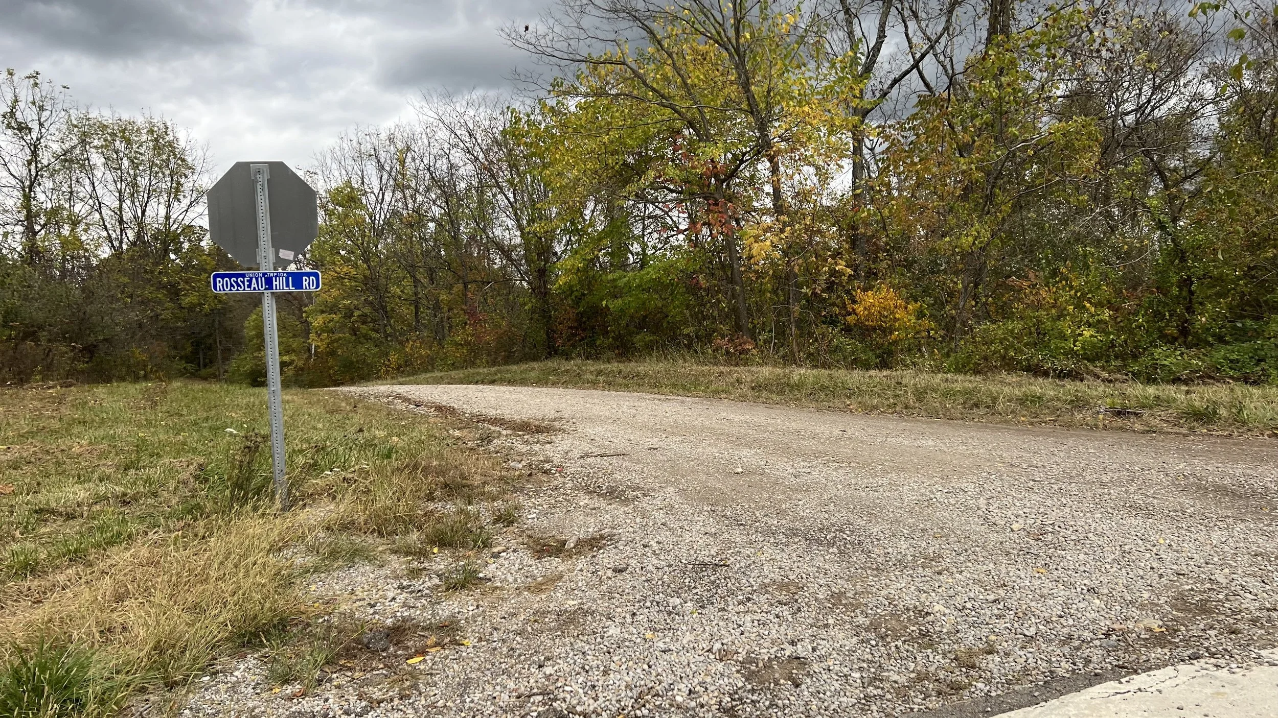
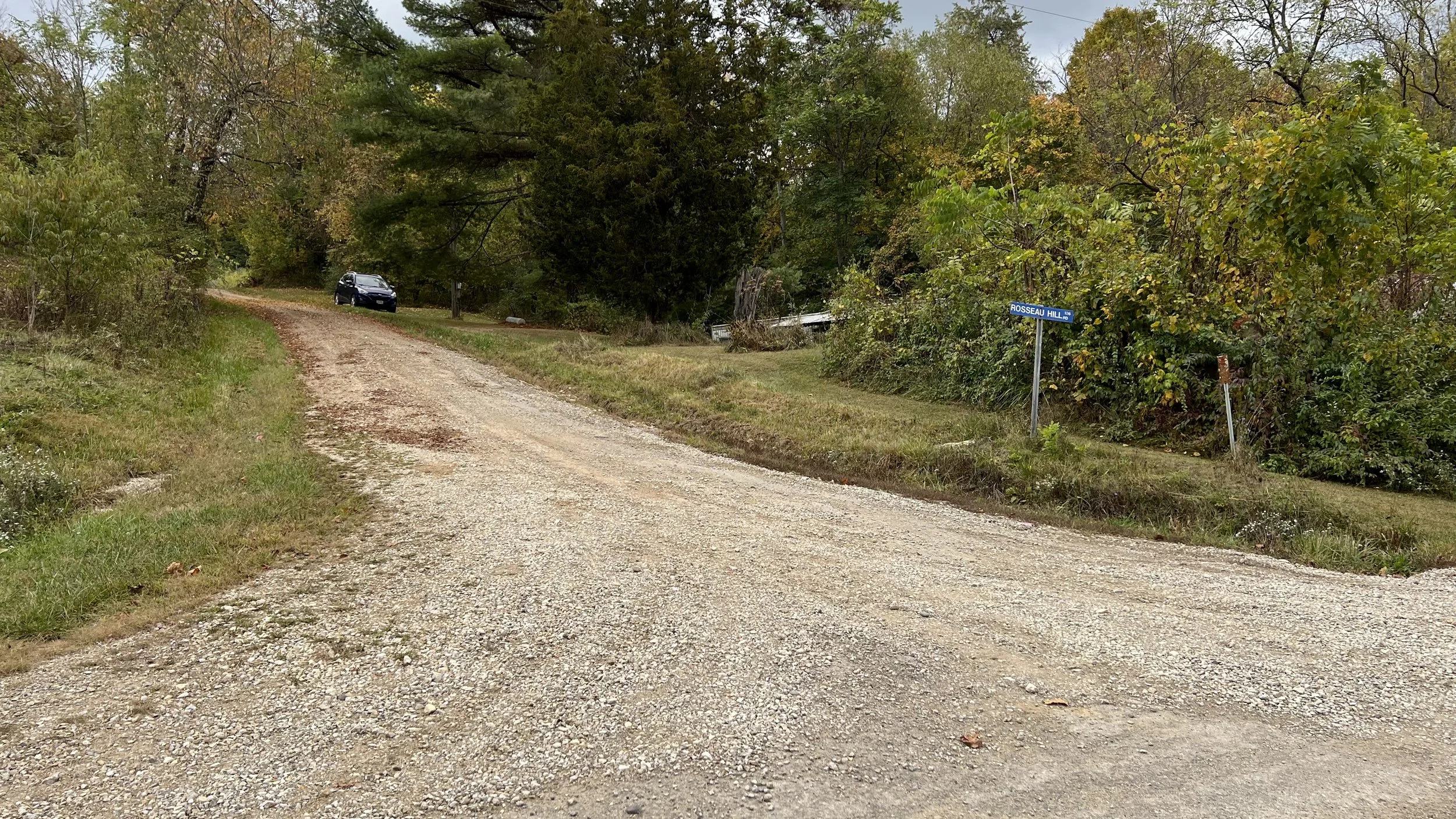
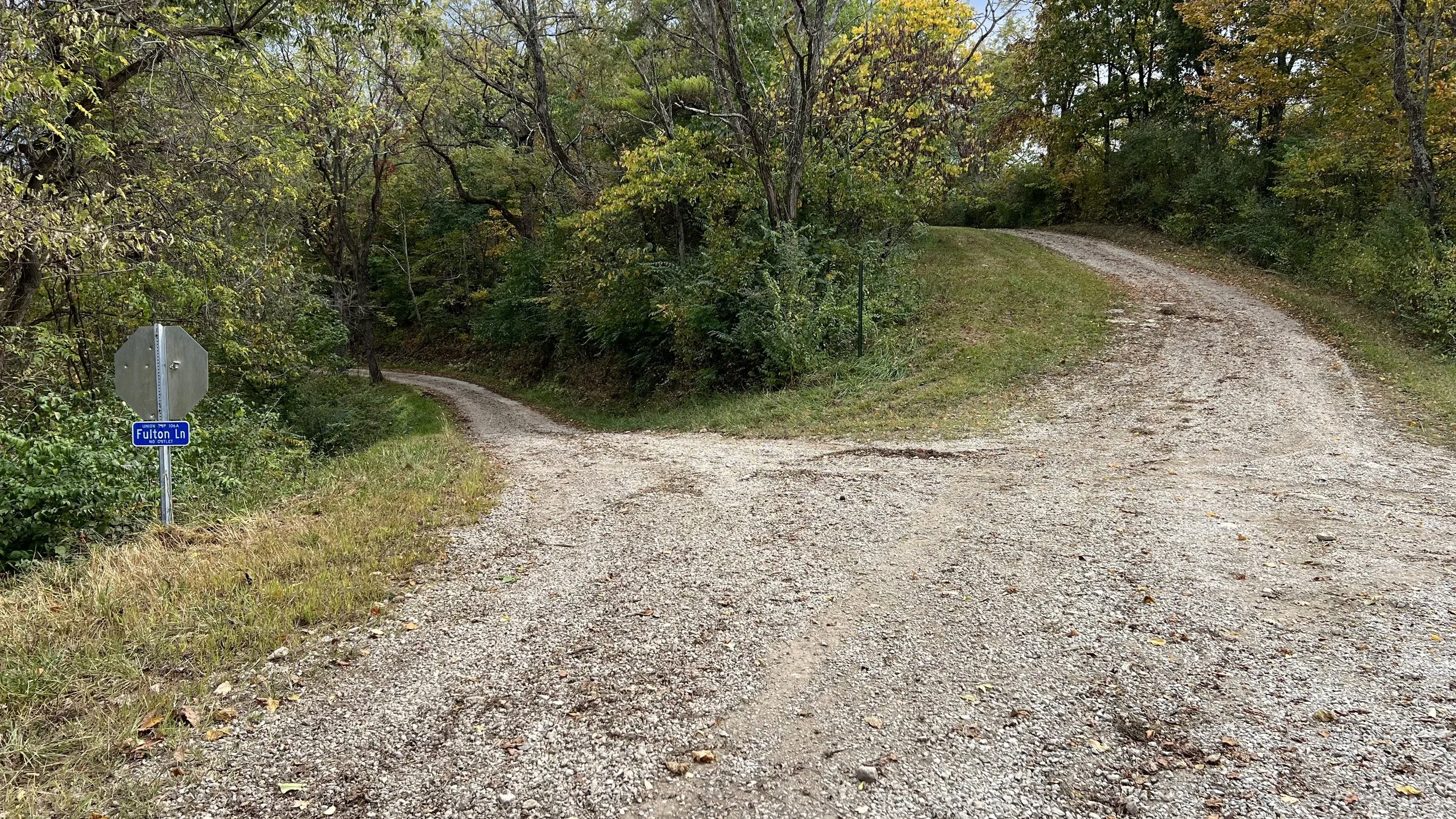
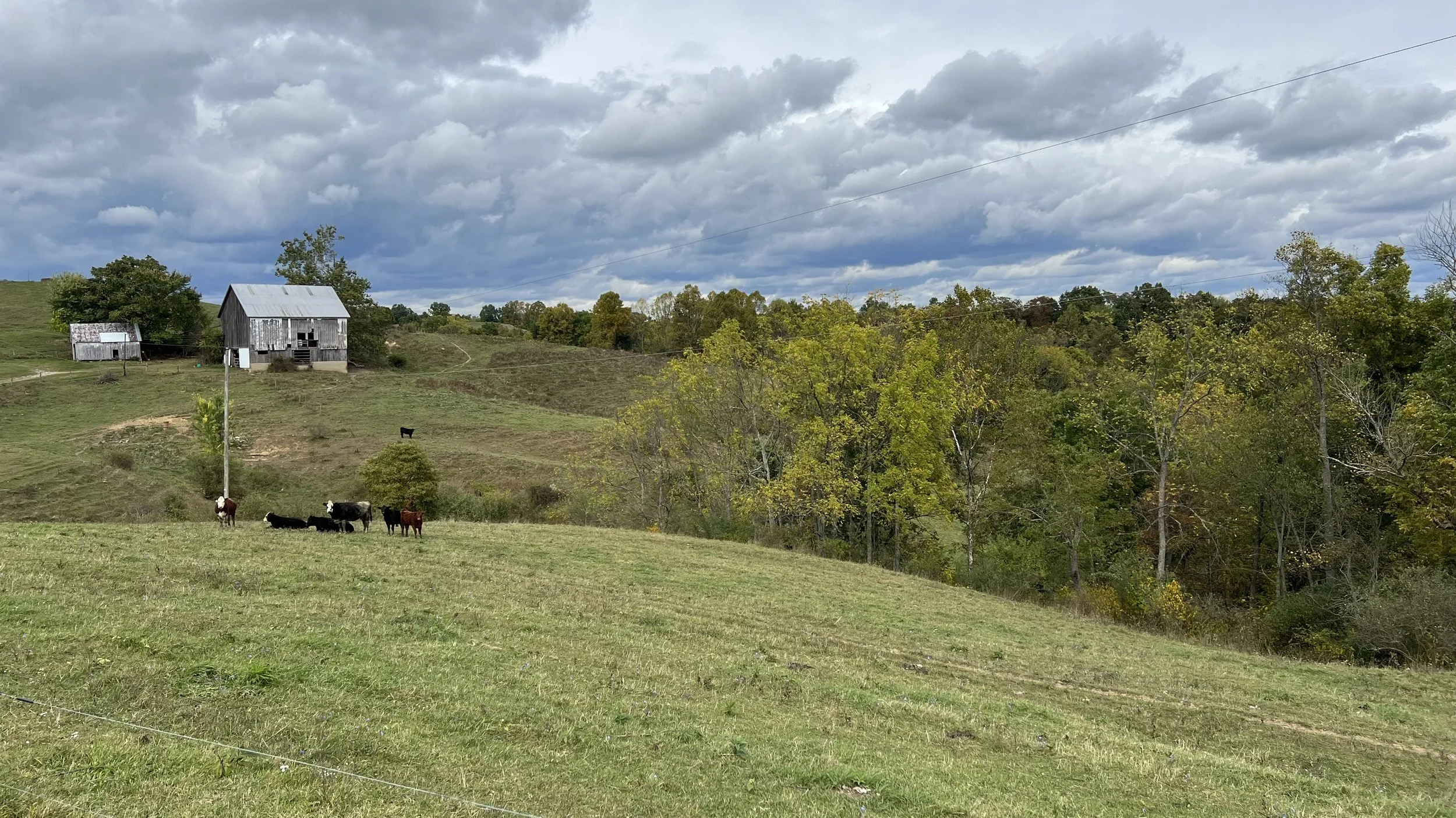
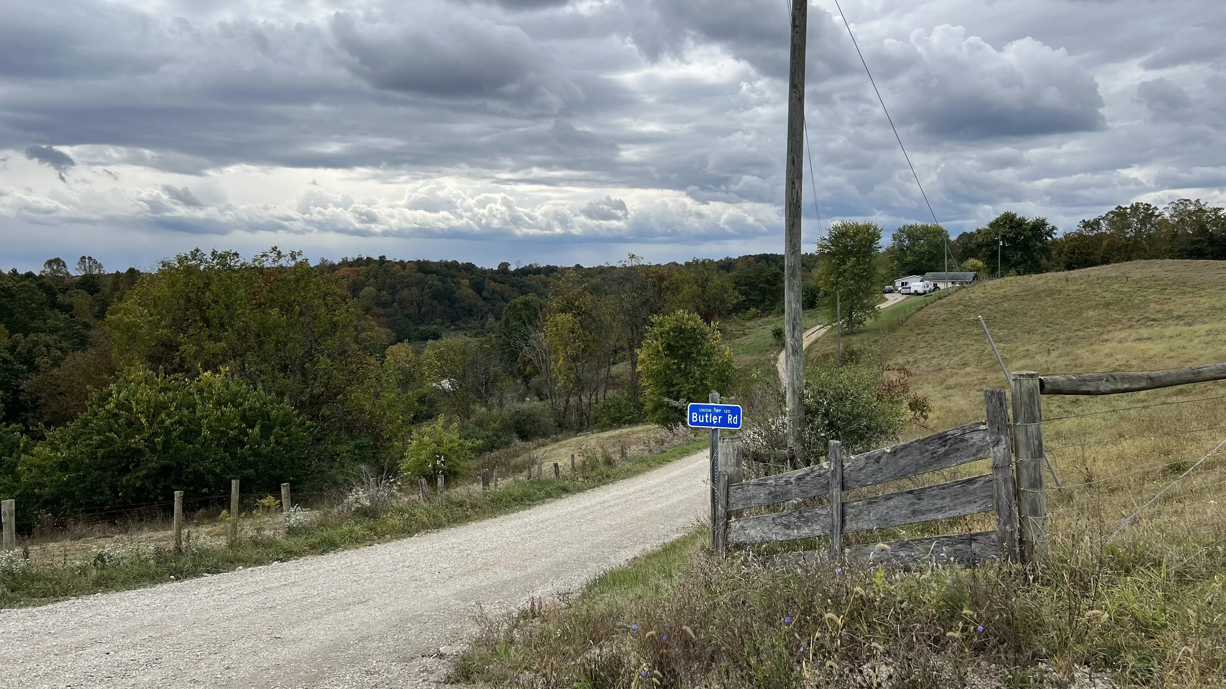
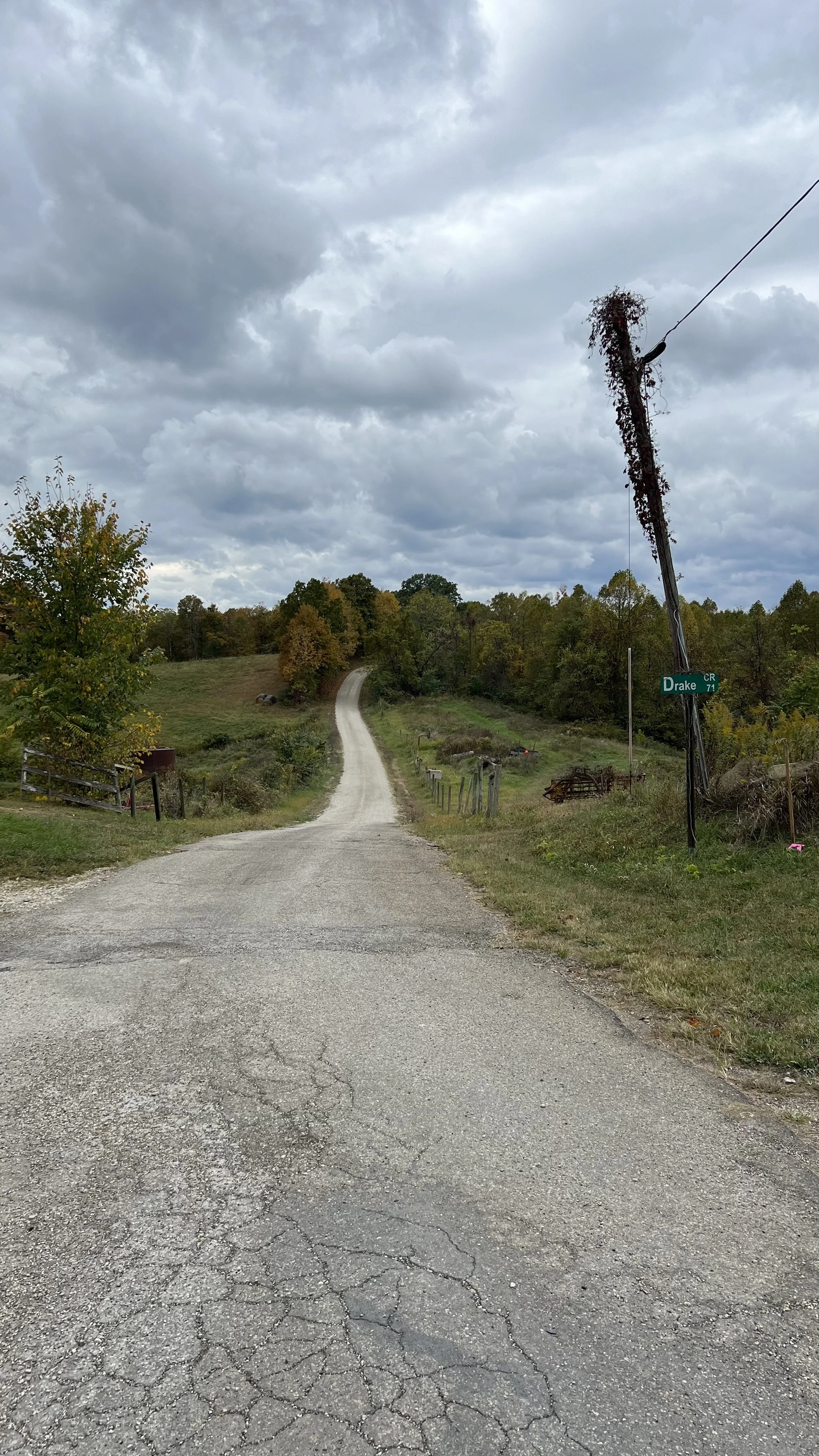
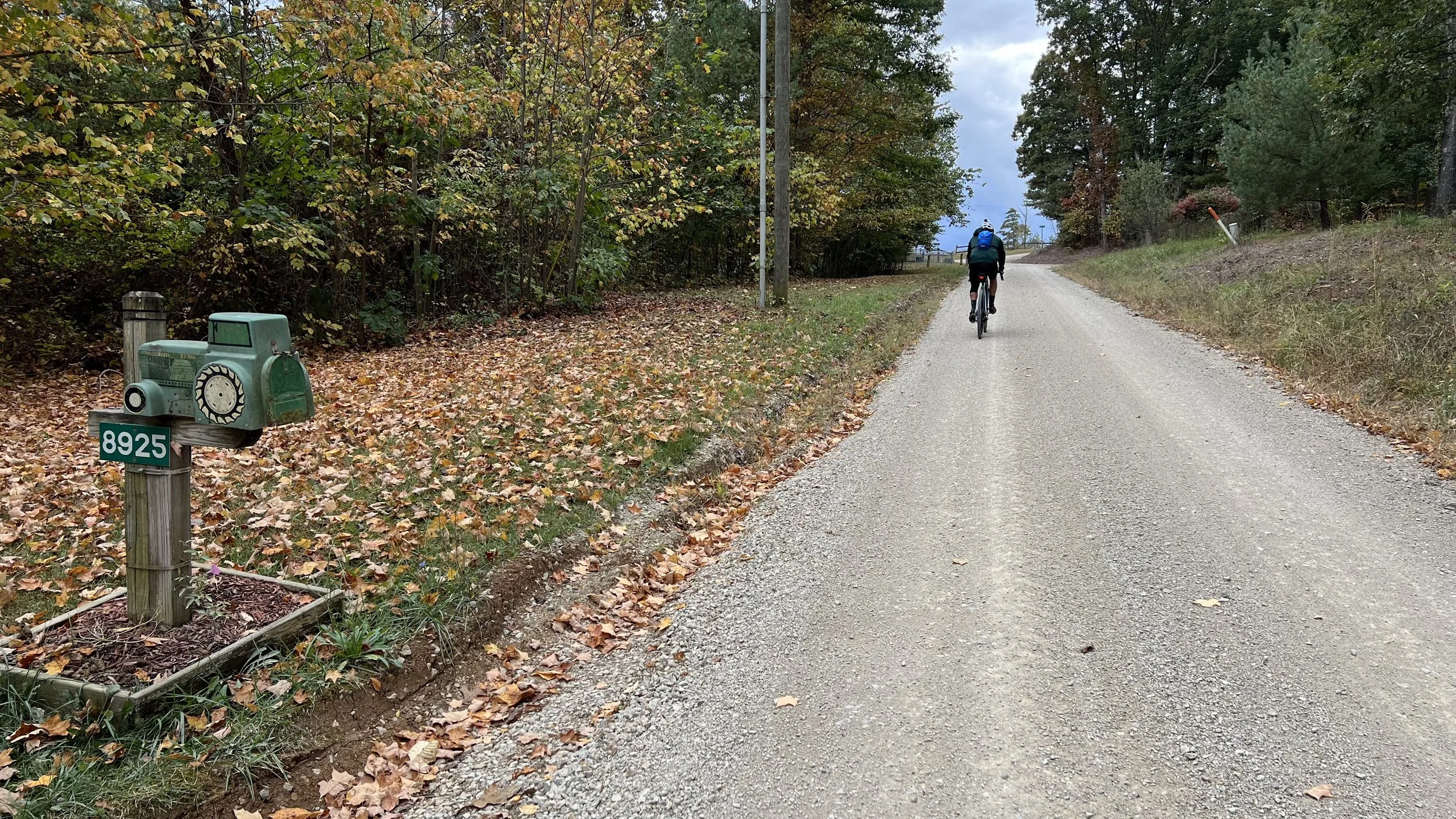
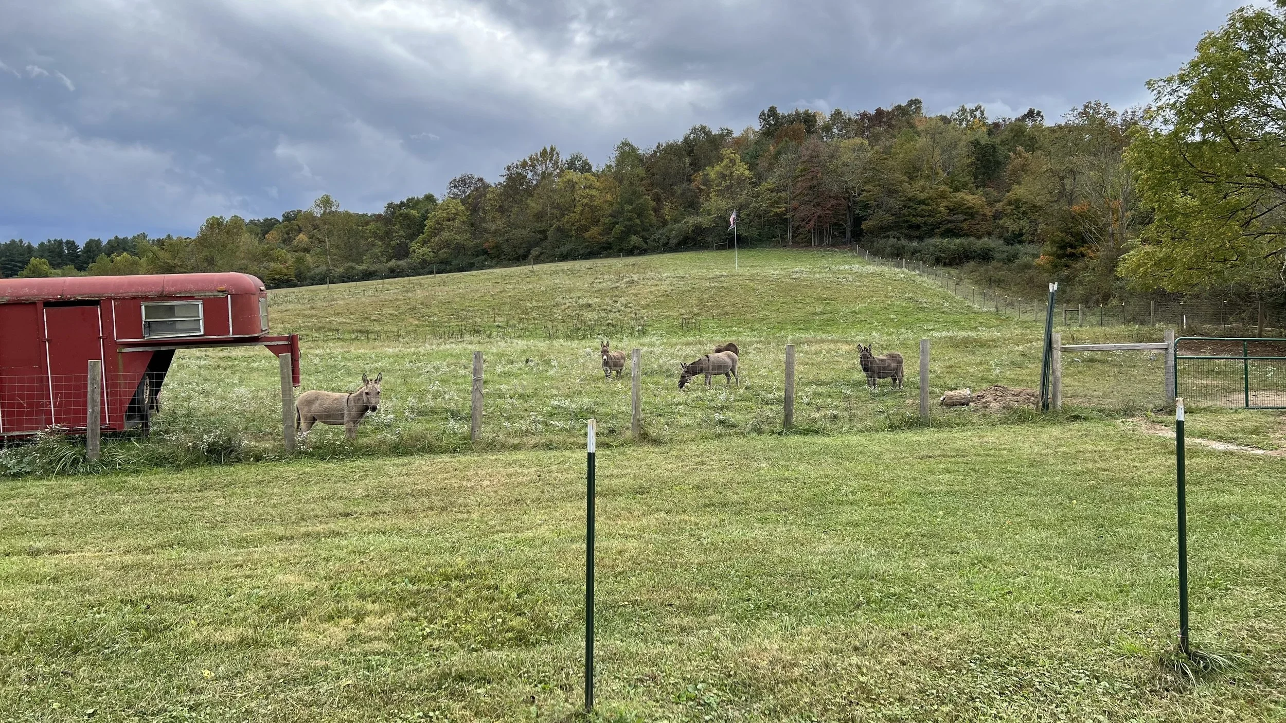
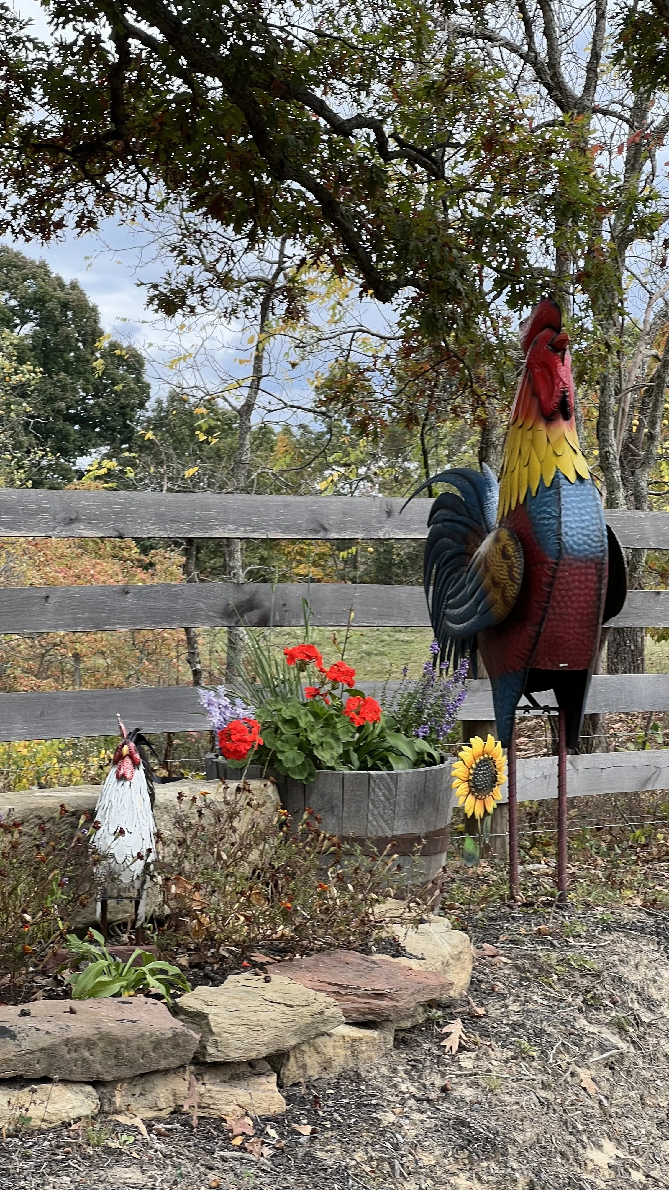
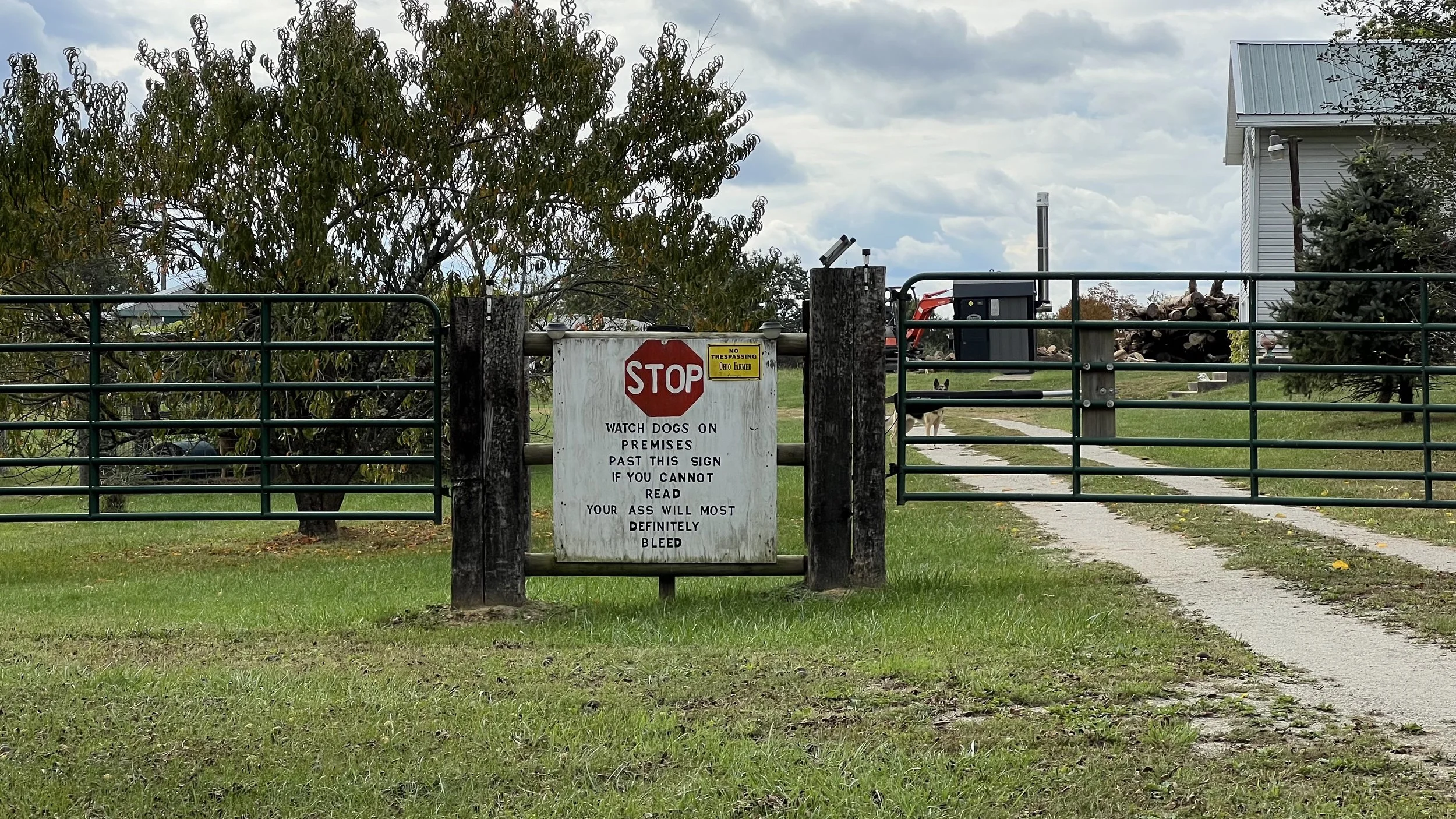
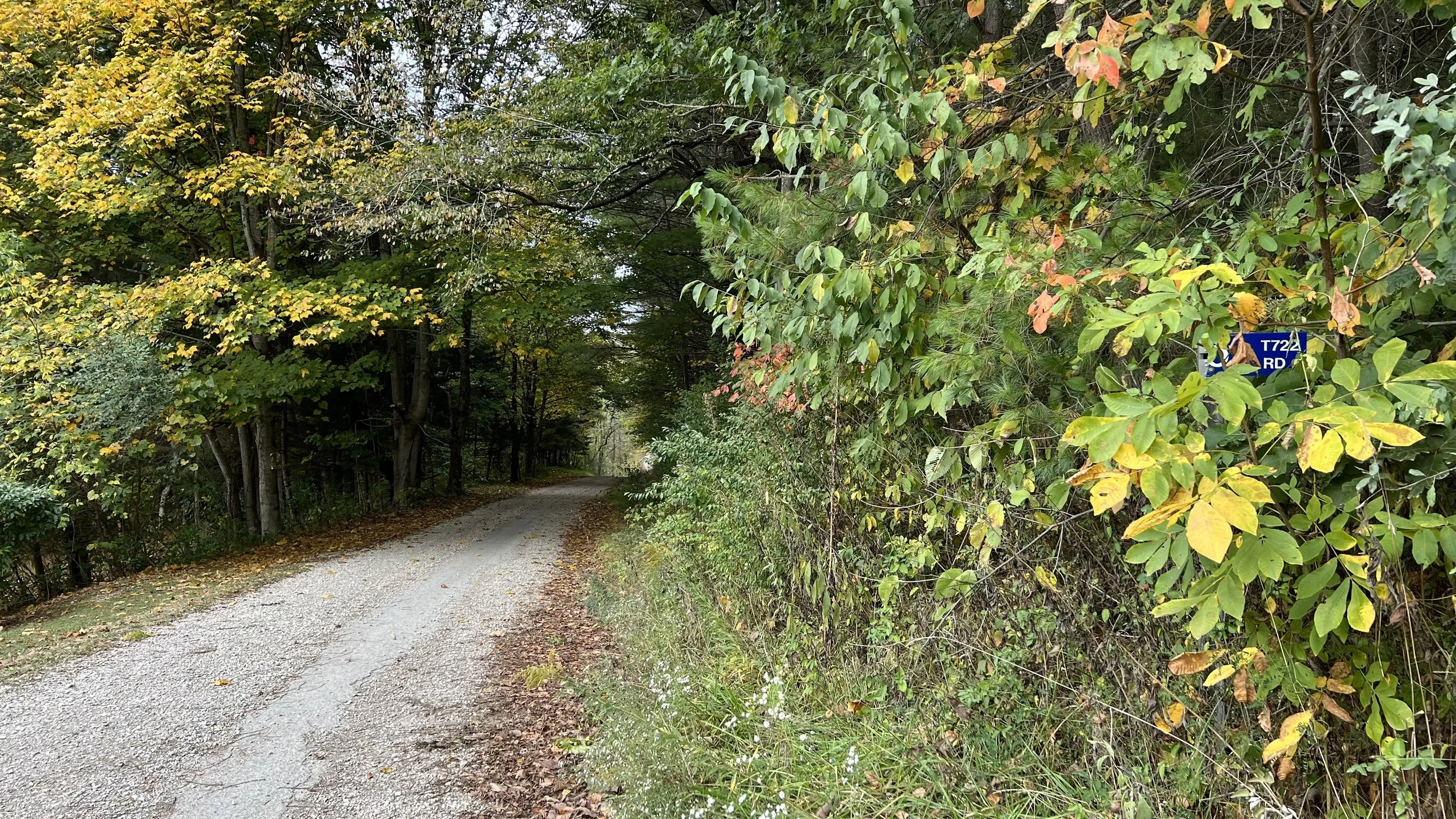
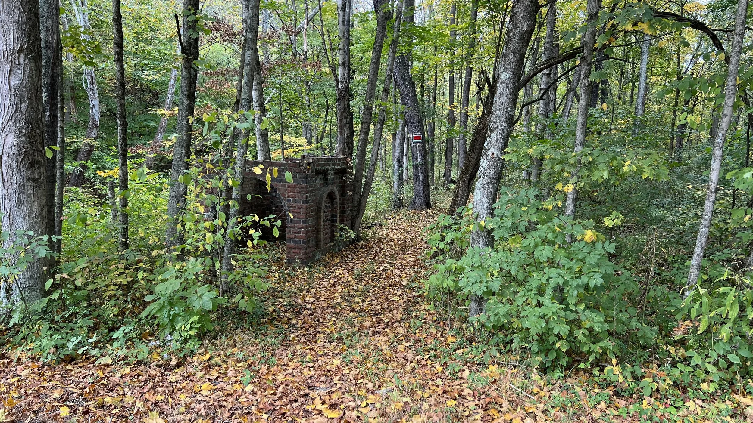
Gravel ranged from tame to chunky but there was consistent washboard throughout the route. Some highlights of the route include the Adams/San Toy Covered Bridge, lots of ridge tops, 60% gravel, low traffic roads, animals and a lot of odd signs. On the way back to Corning the route passes through the ghost town of San Toy with a number of visible ruins. We saw one motorcycle on 555 which is windy and climby so bring your rear light for safety. There are no services on route so bring what you need.
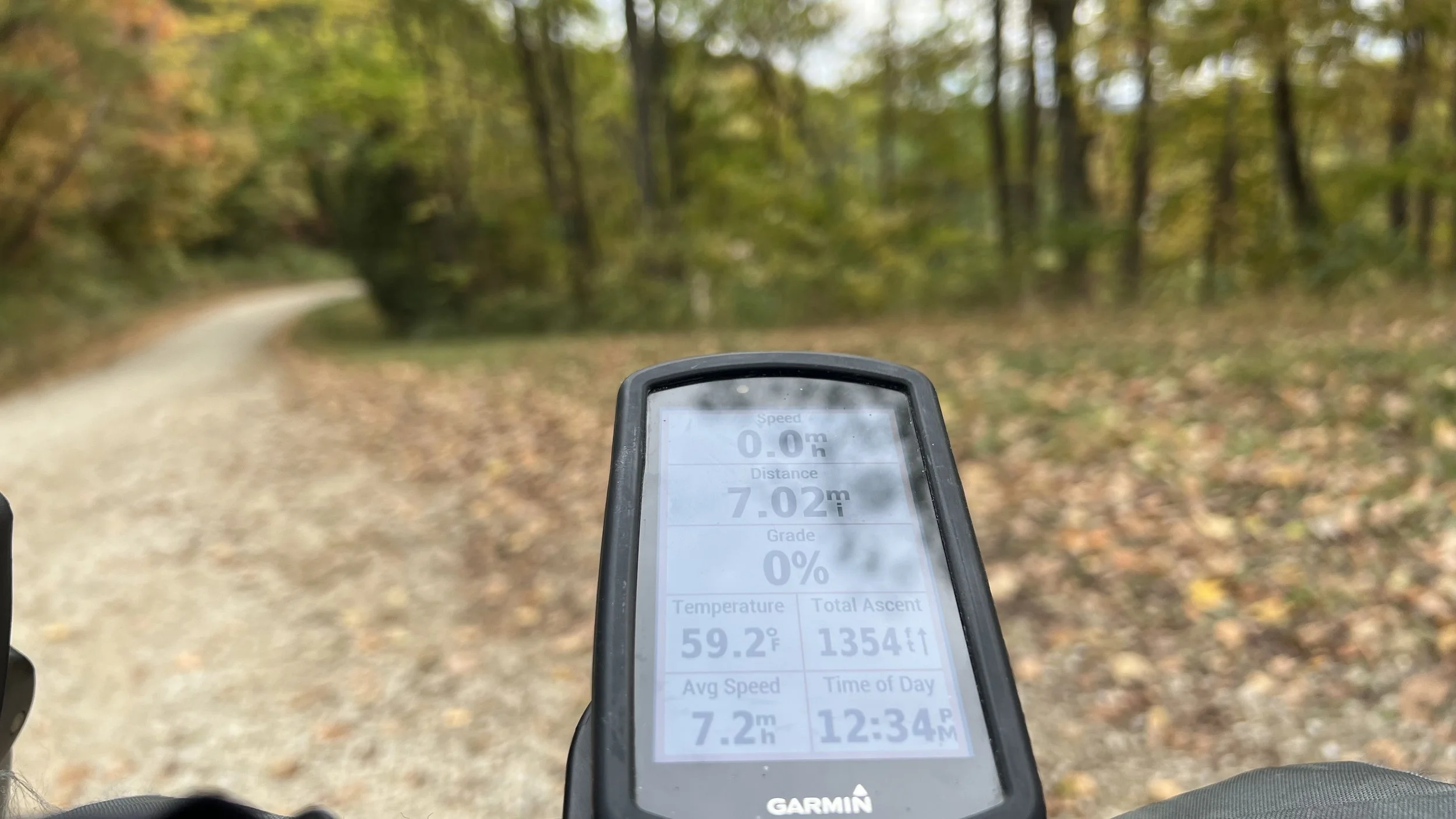
So what about the climbing? We ended with 31 miles and 4700+ feet of climbing (151 feet per mile) which surpasses the Hartwood 37 route for lopsided climbing ratios. When I rode Hartwood I ended with 37.6 miles and 4700 ft climbing (125 feet per mile). Route is below the photos.
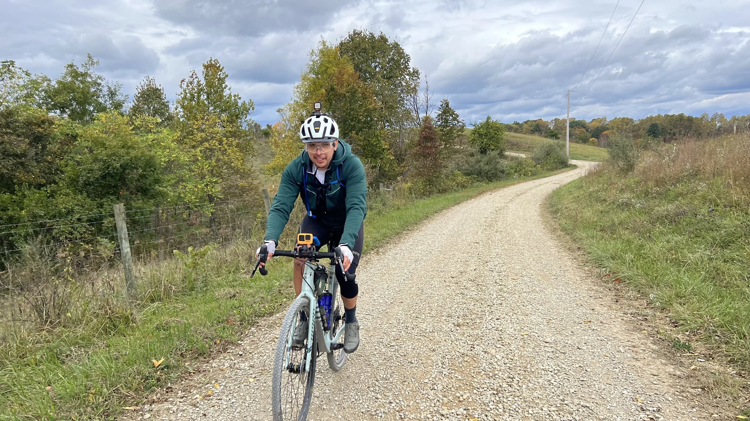
Temps were in the 50’s for most of the day with some sun sprinkled throughout and some sprinkles at the end as we got into Corning.