Recap: Heart of WV Highlands Bikepacking
Original plan
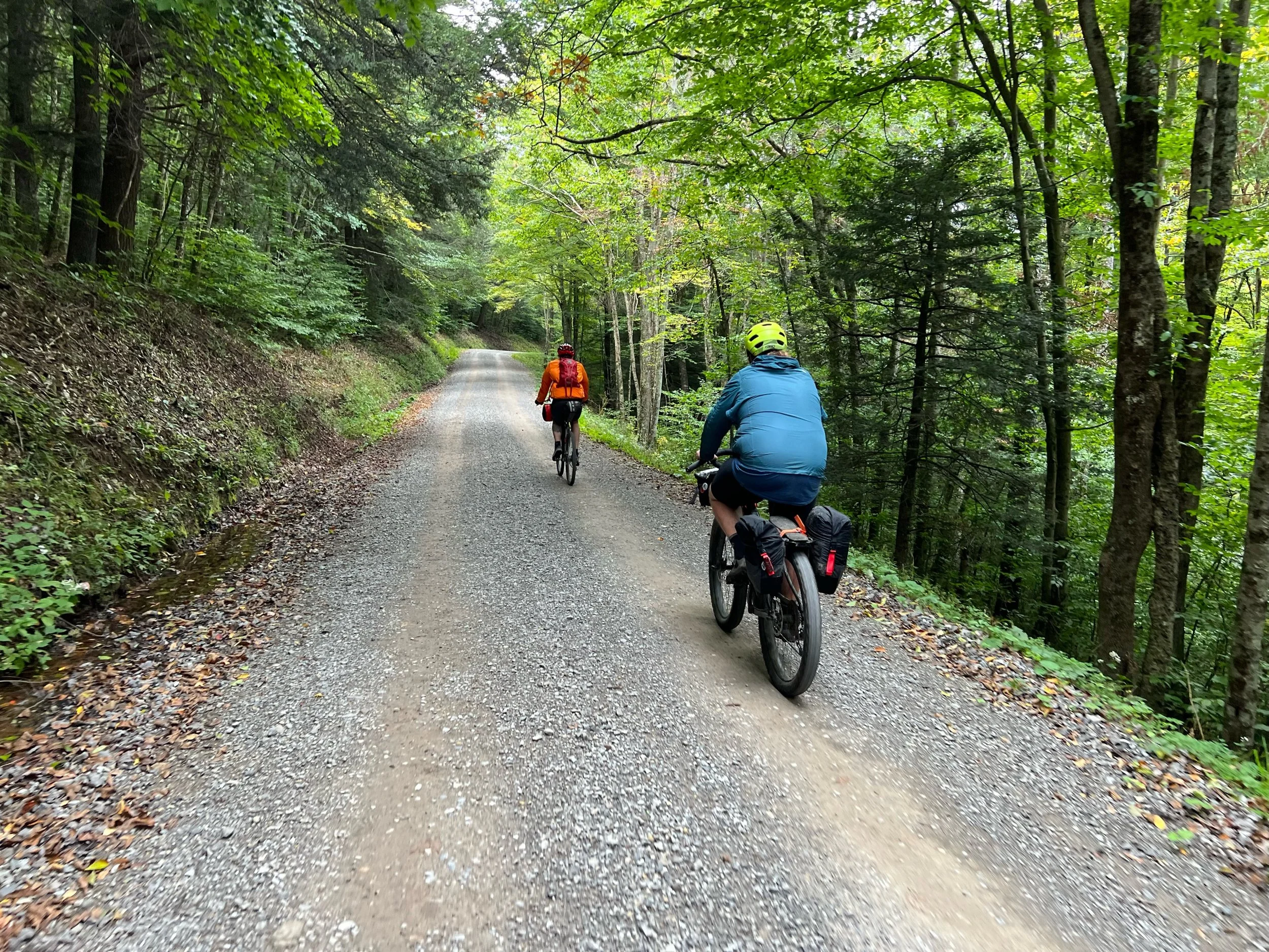
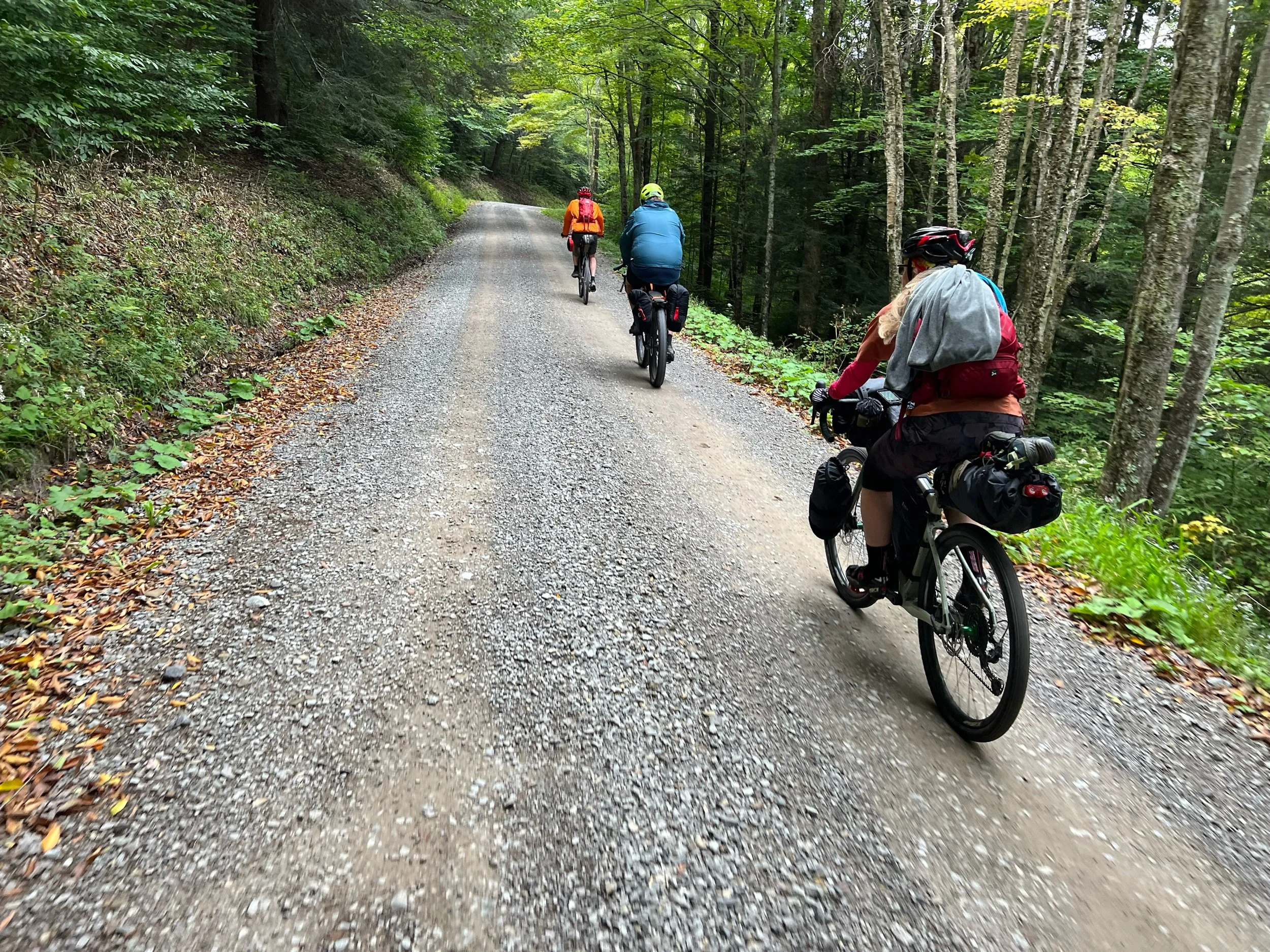
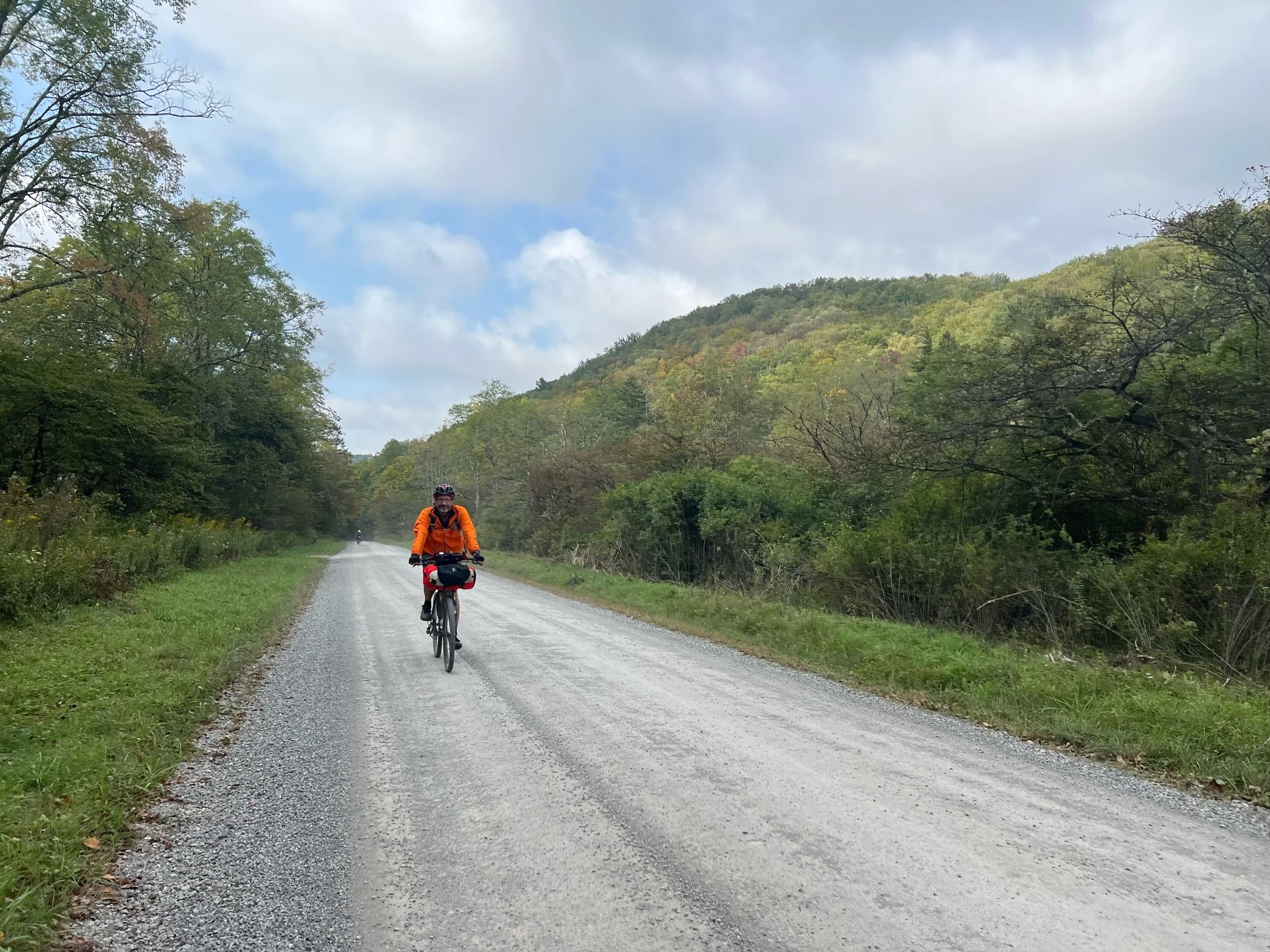
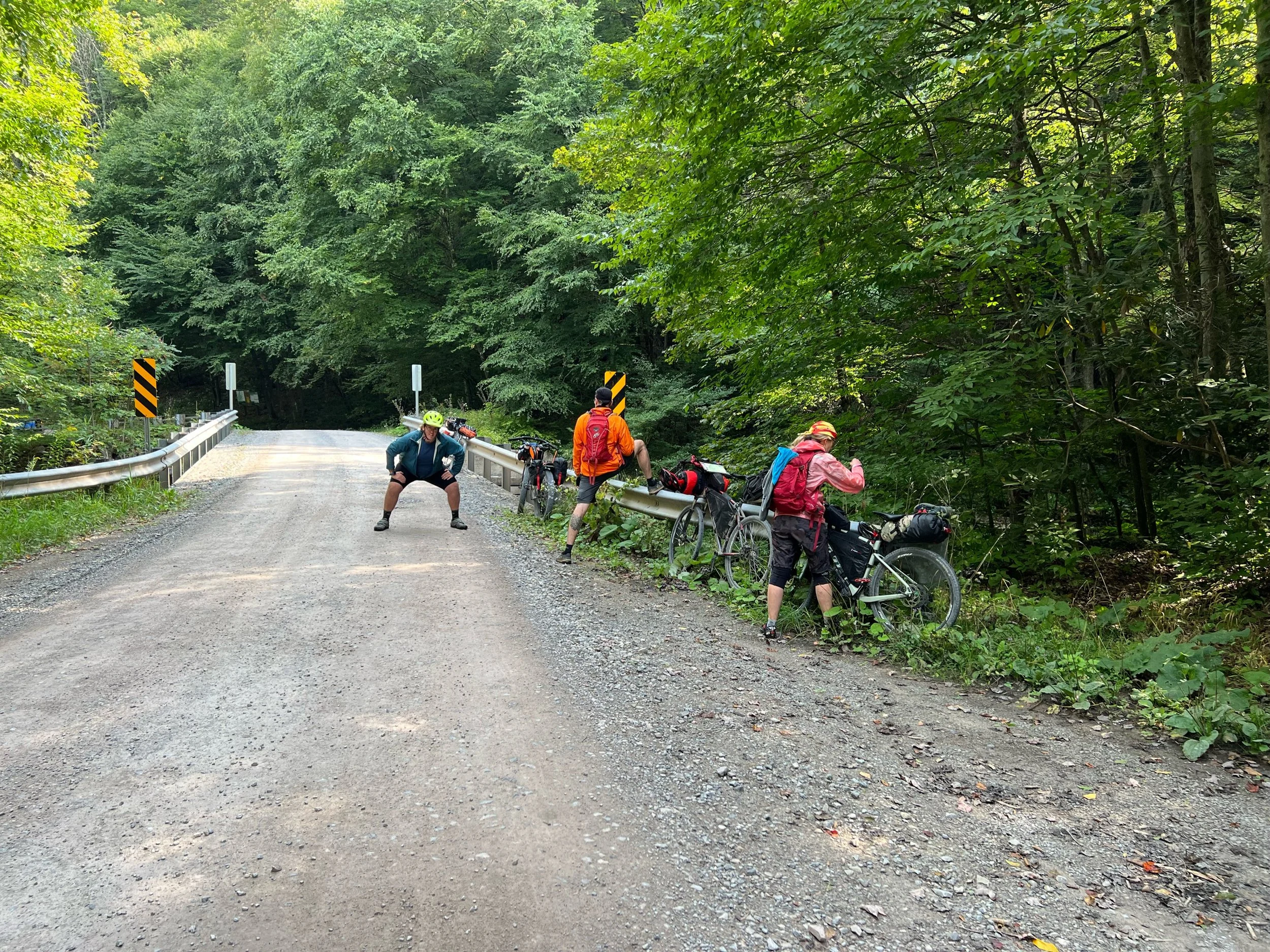
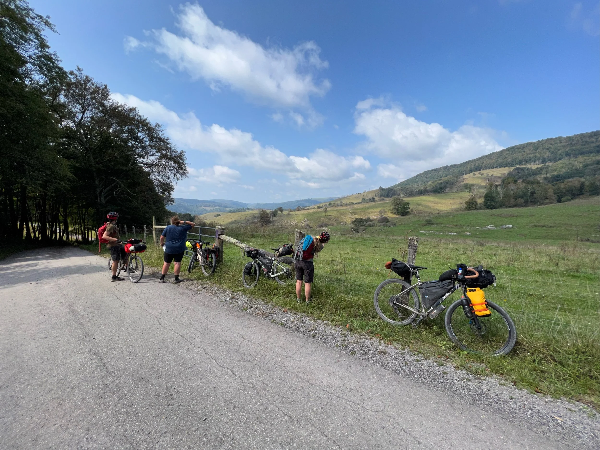
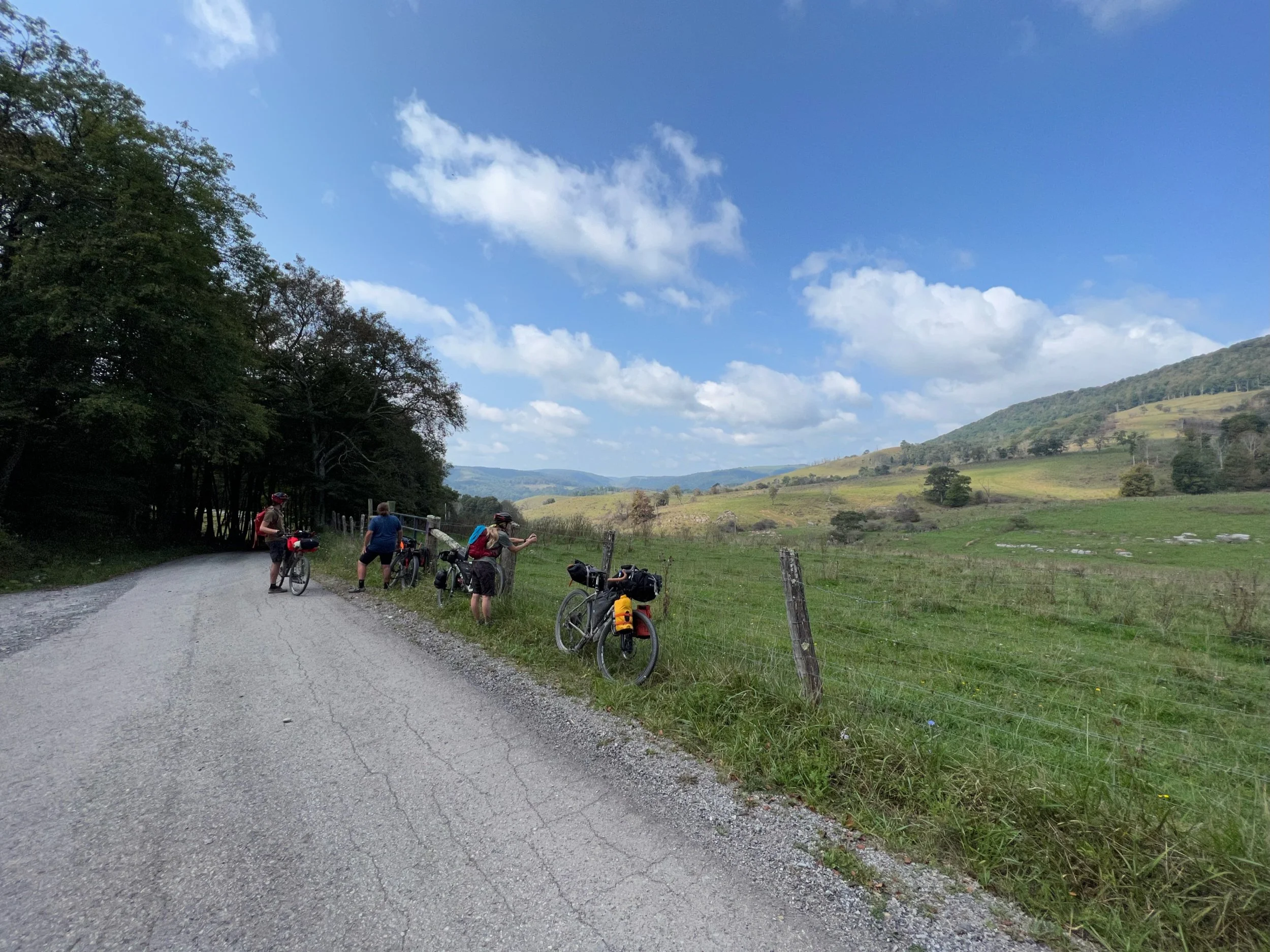
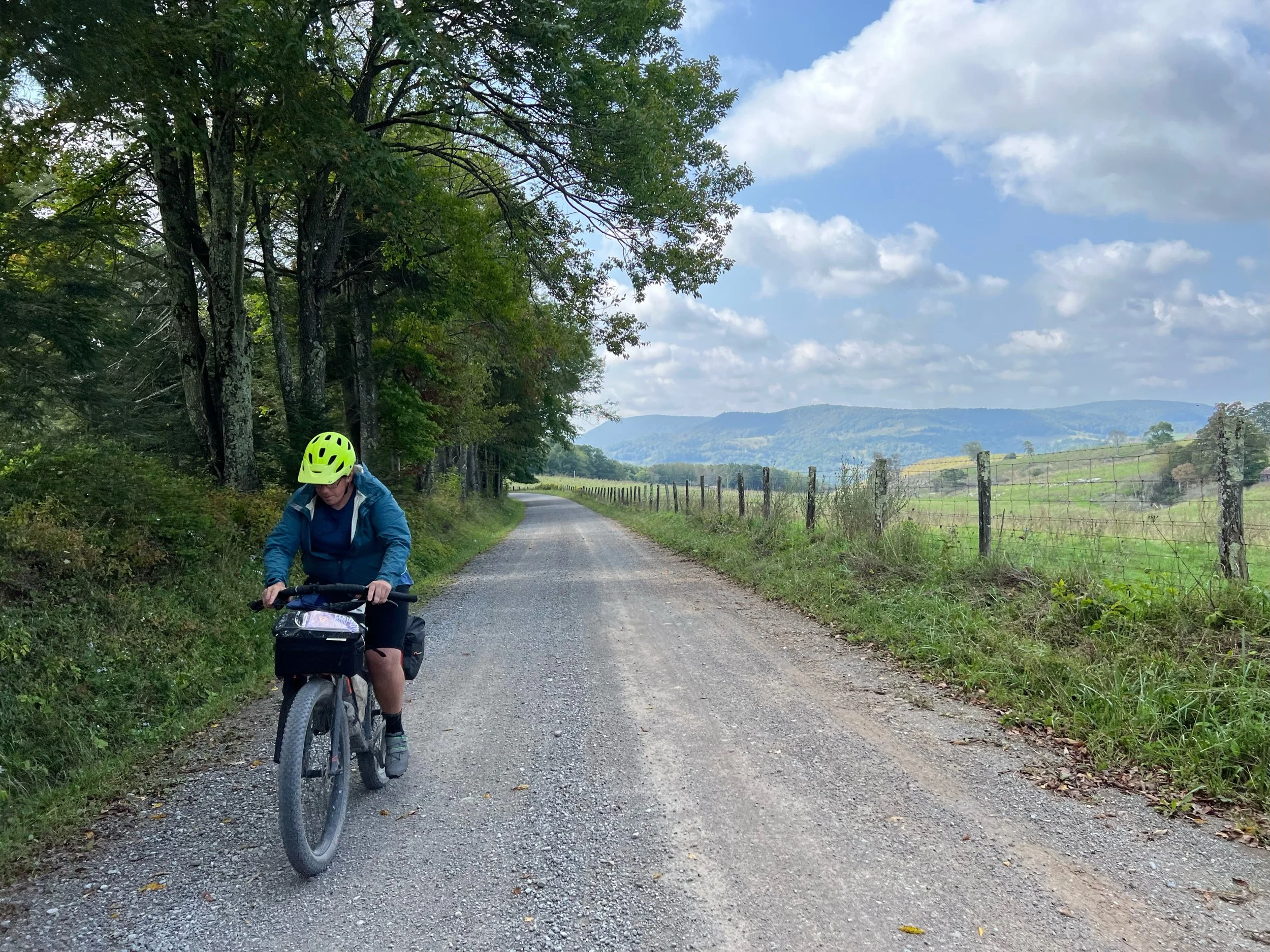
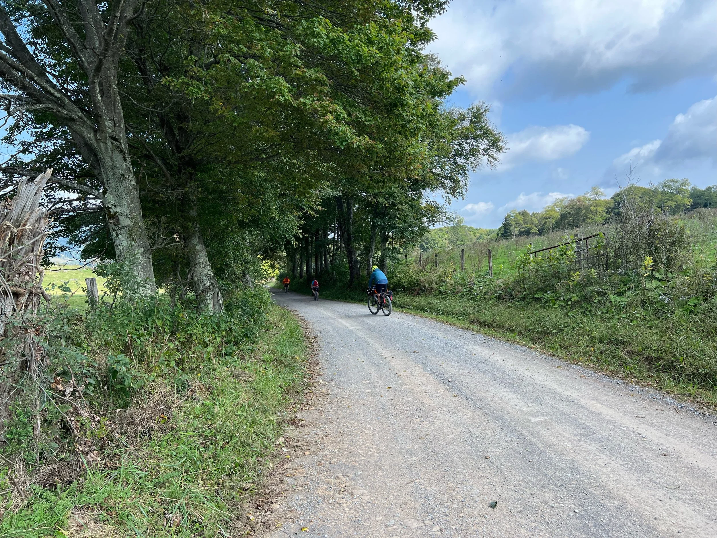
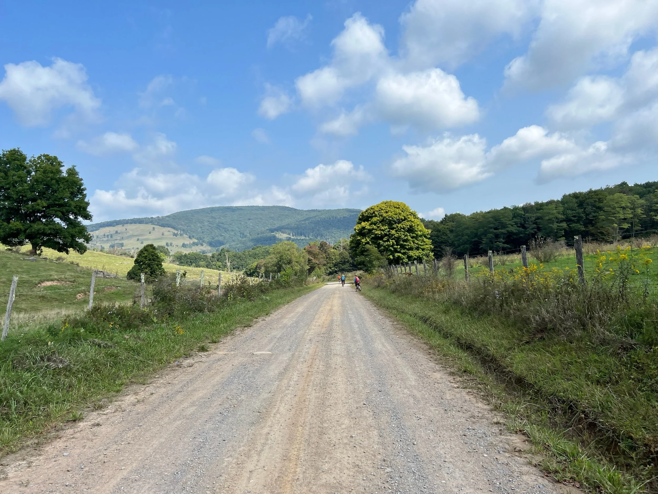
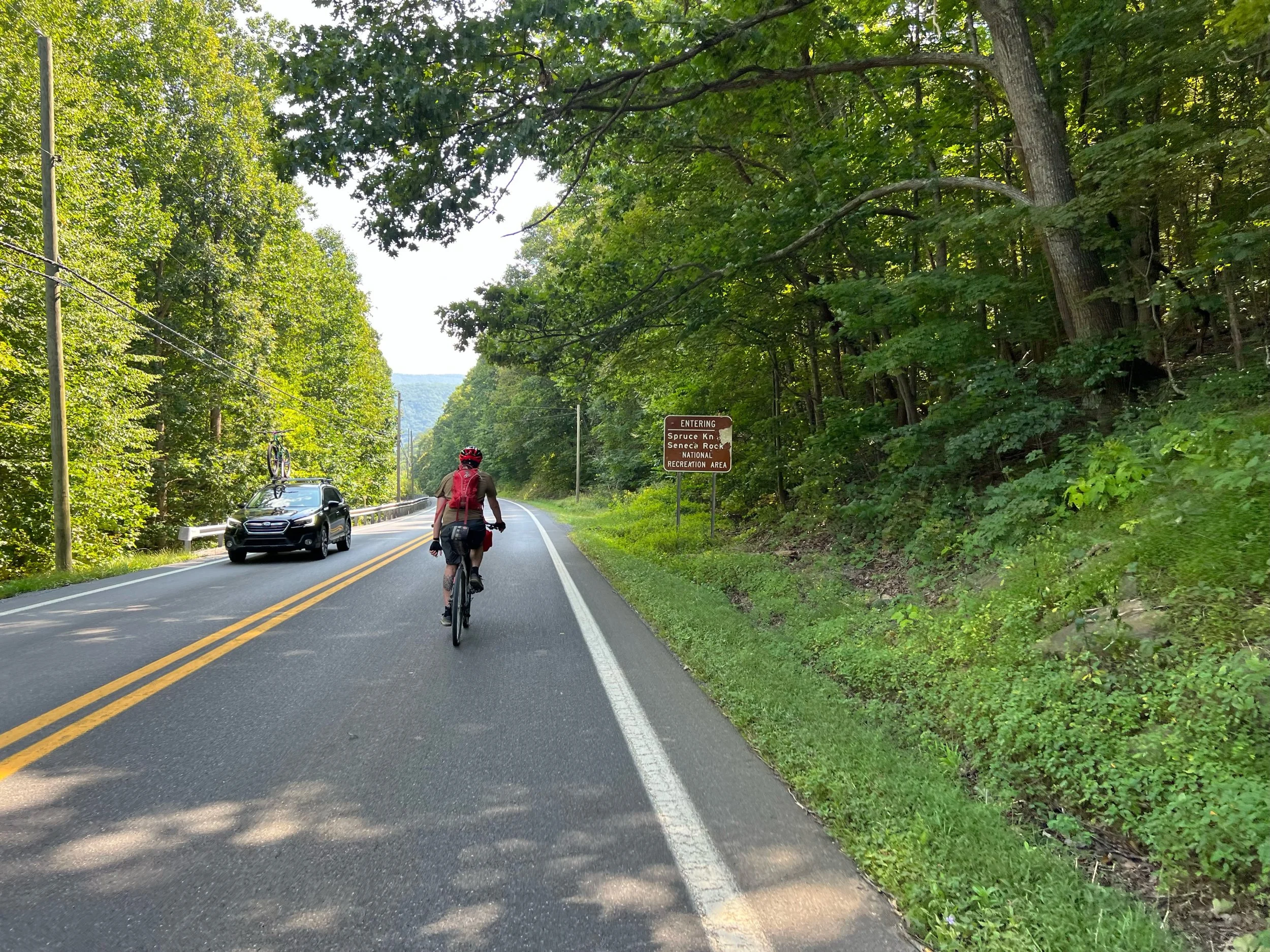
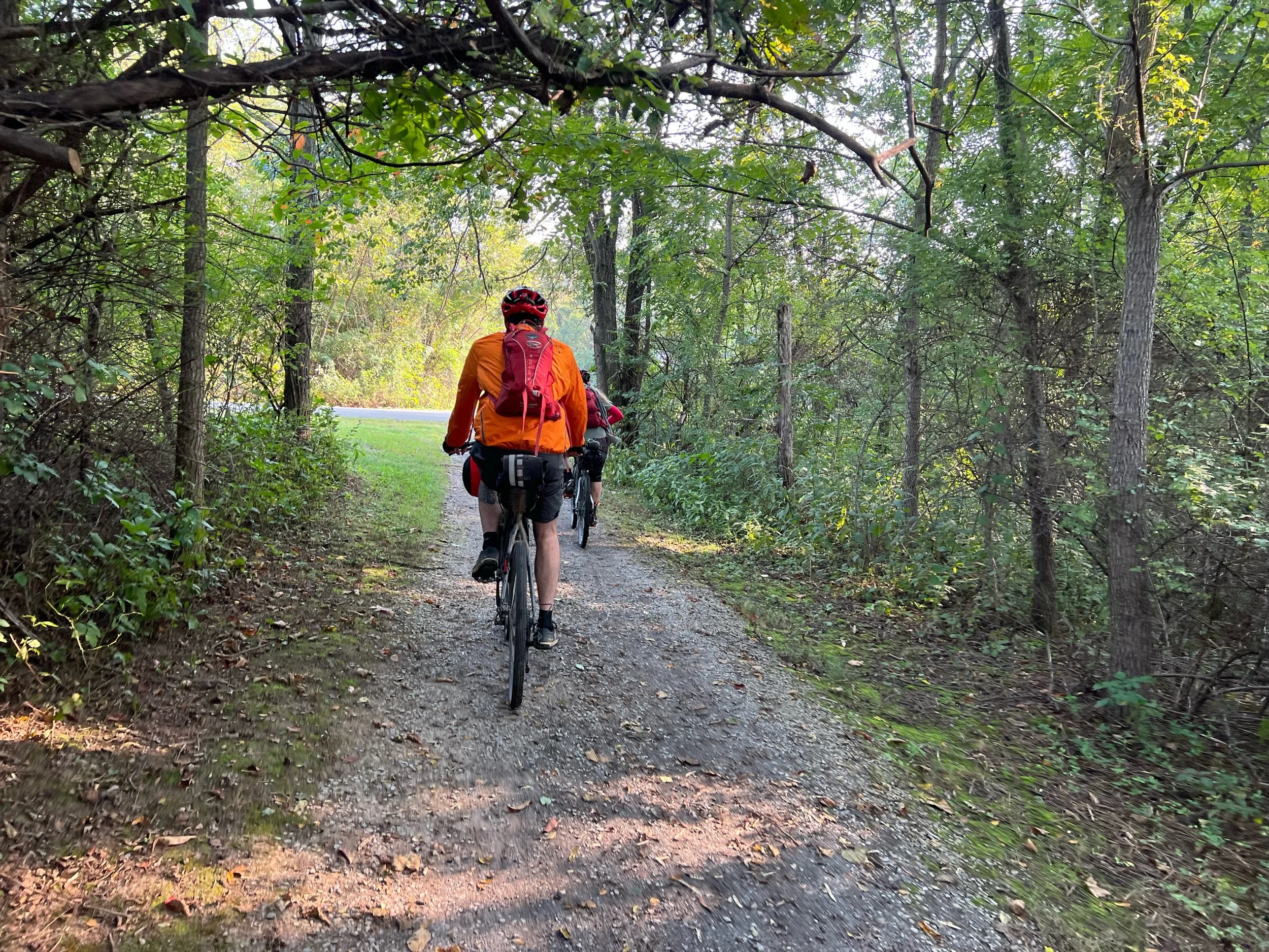
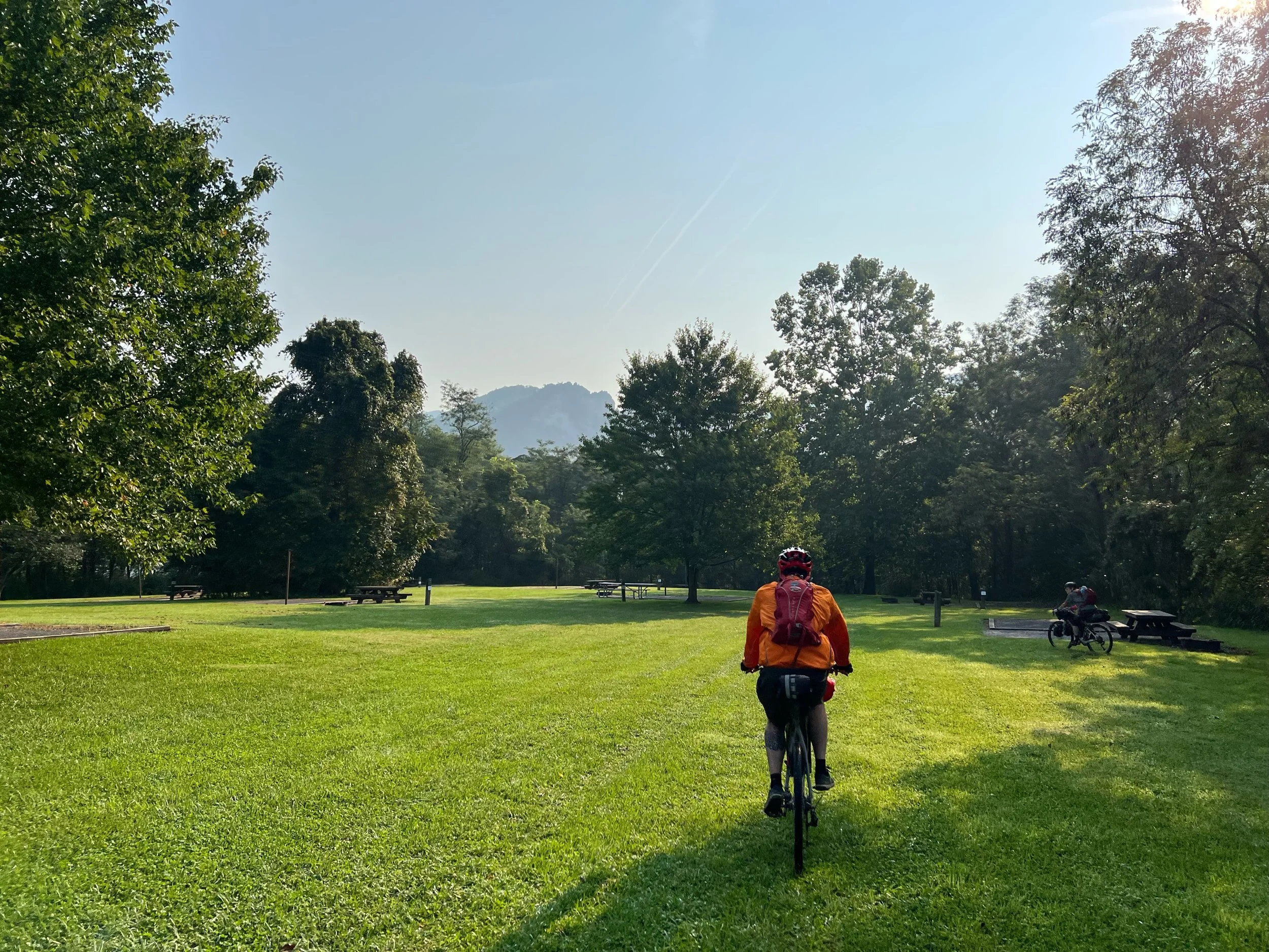
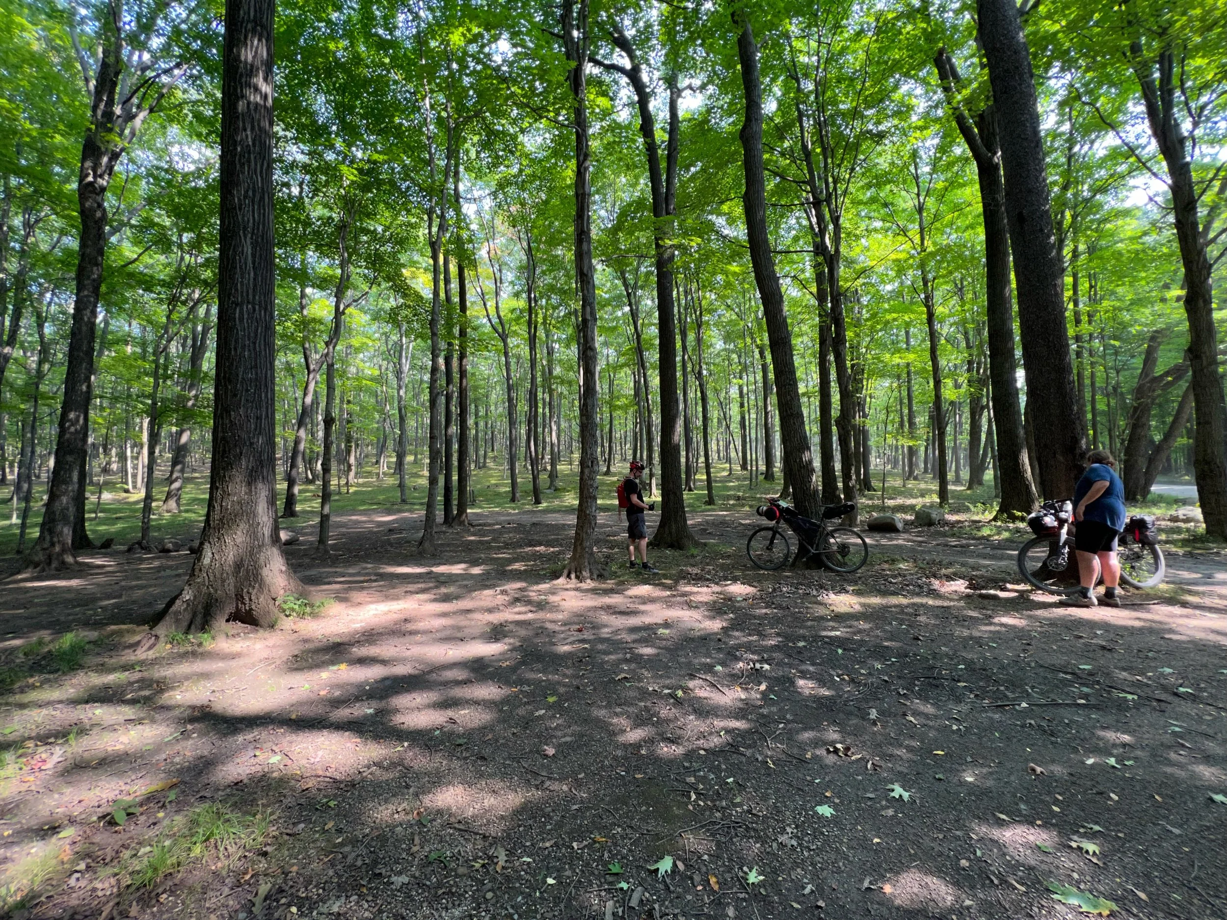
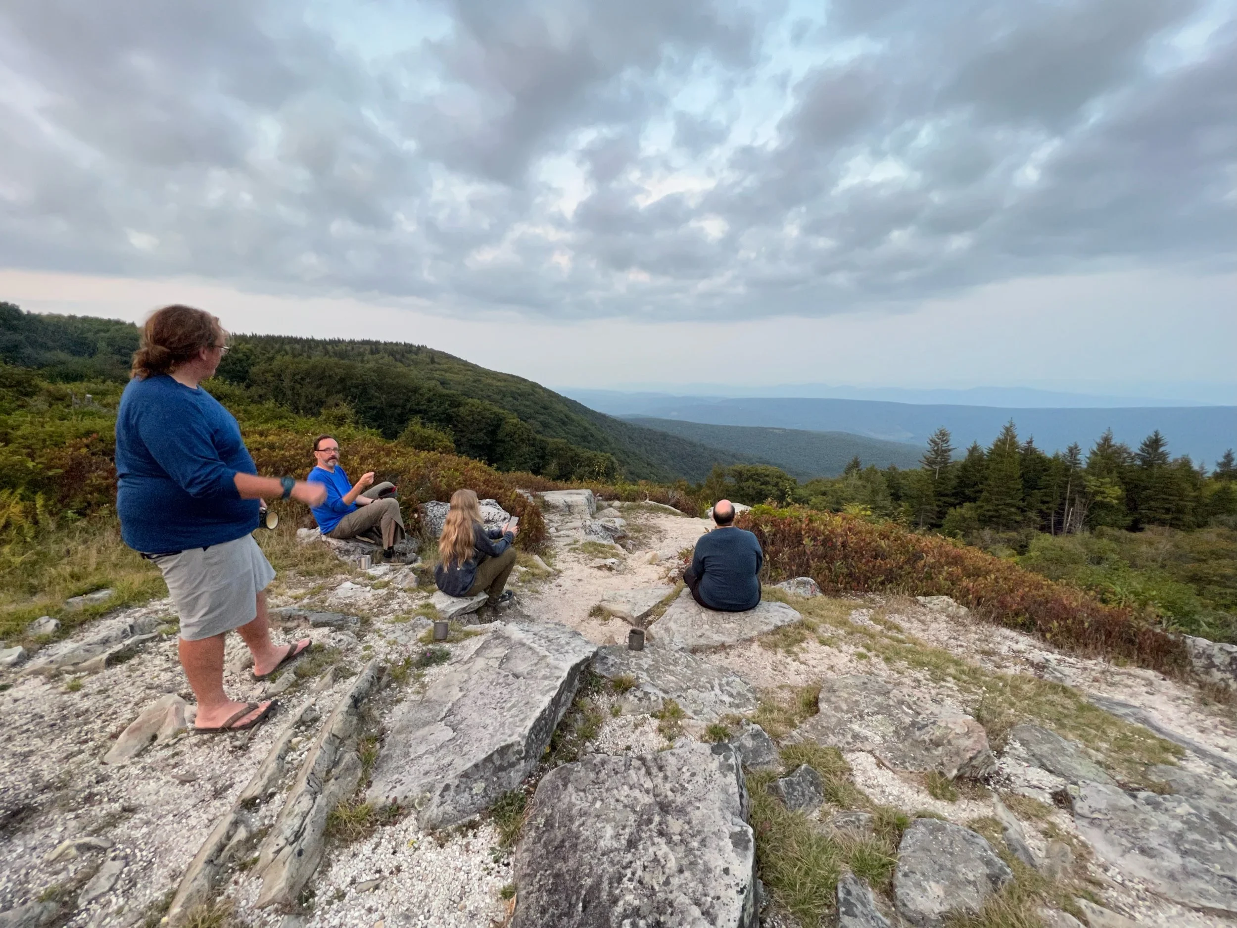
Our plan was to roll out on Sunday and ride until the following Saturday. We started at a private residence in Canaan Valley and adjusted our route because of rain on the first day (see recap below). The posted Heart of WV Highlands Bikepacking route starts at the Otter Creek Trailhead near Hendricks. In addition, we had a group of over 12 people interested in the ride, but life gets in the way, and we ended up with 4 riders and Tim who was light SAG for the group and met us at the campgrounds. Tim rode sections of the route with our group and hiked a number of trails along the way.
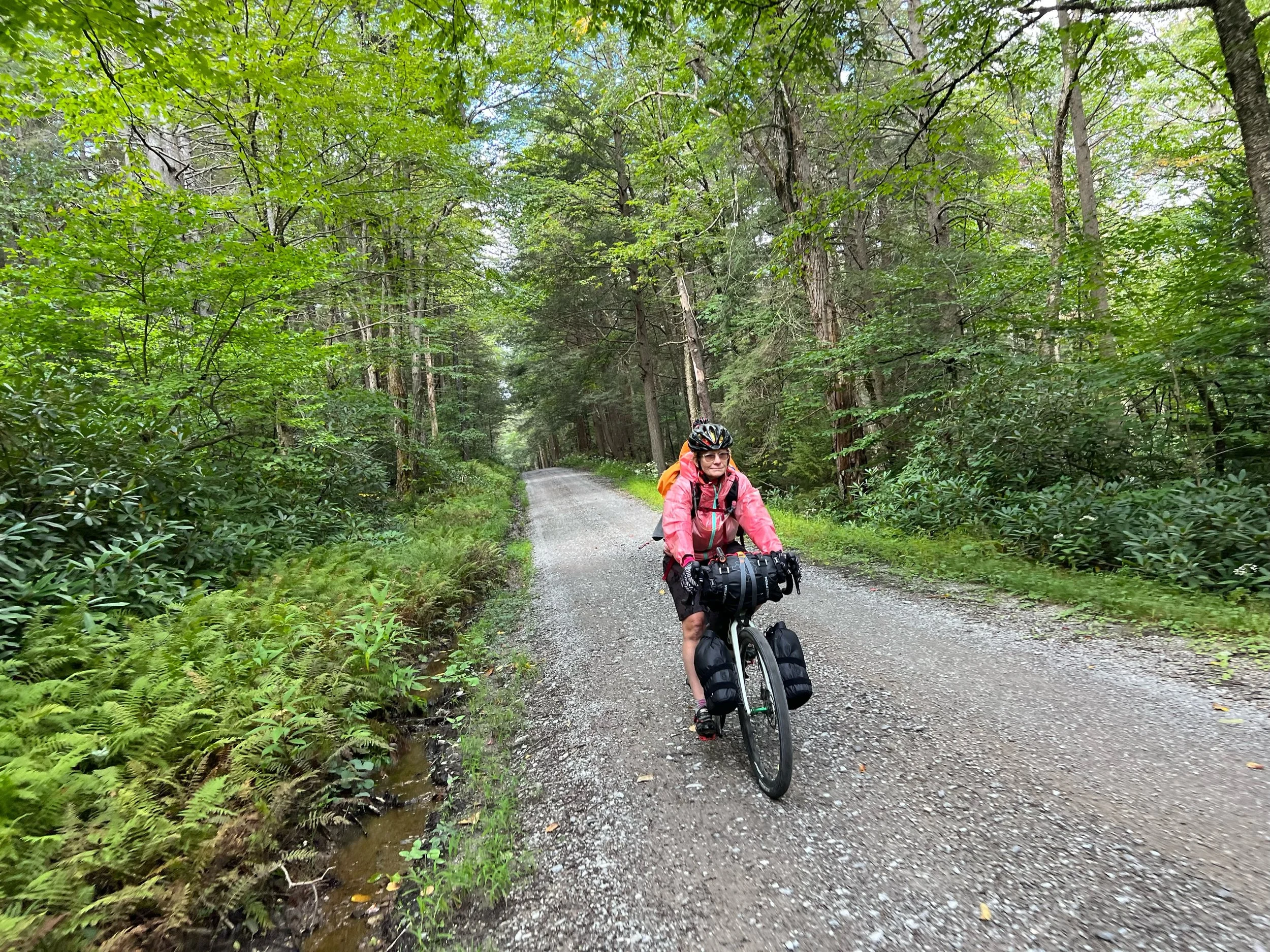
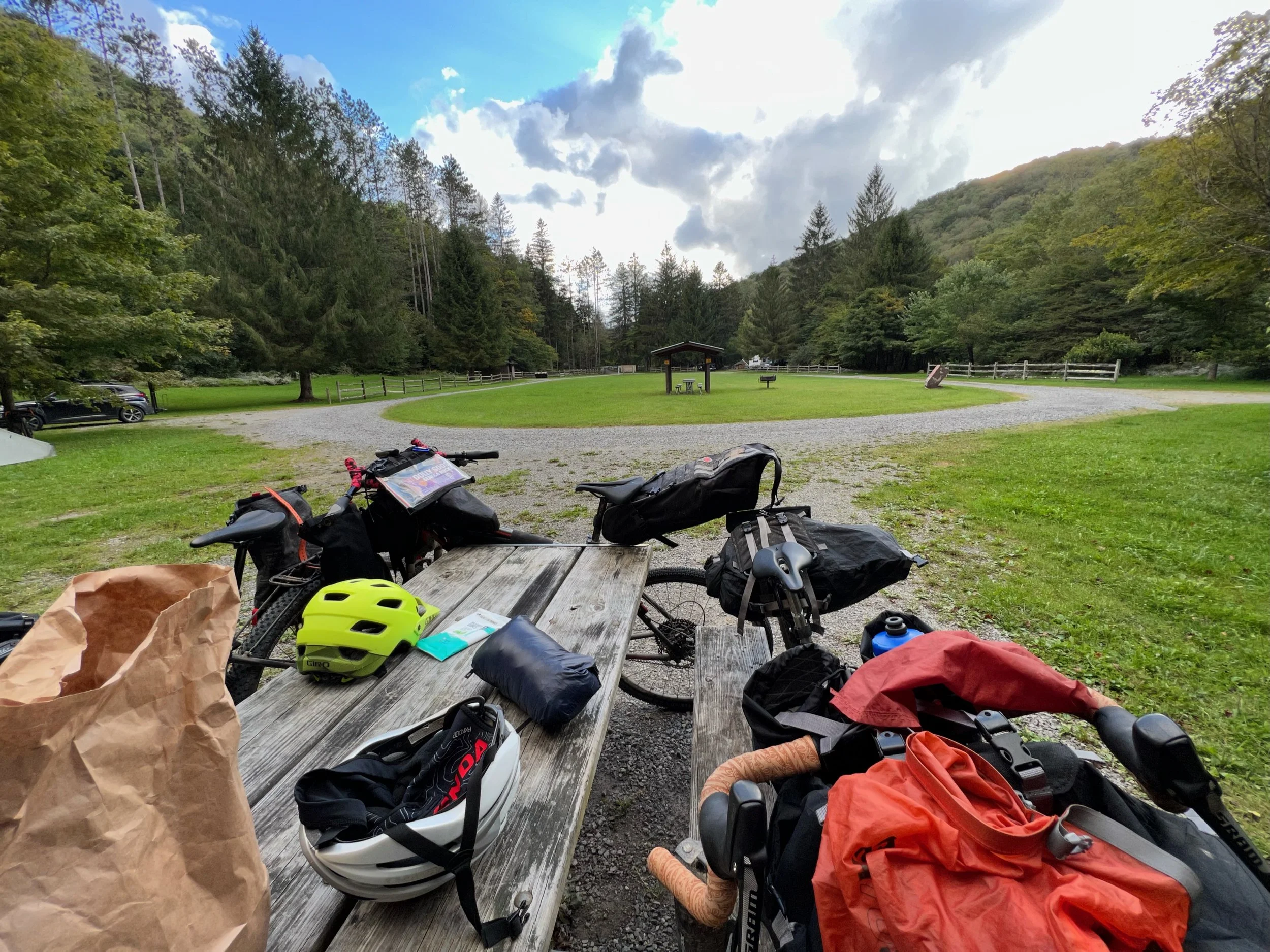
One of the bigger challenges of our planned route was the need to carry twelve meals because of the dearth of food options along the way. Davis, Parsons and Seneca Rocks are the only locations with food. Twelve meals take up a lot of space. Plus, we needed snacks for the full route. We all made it work but it is a lot of weight added to the setup.
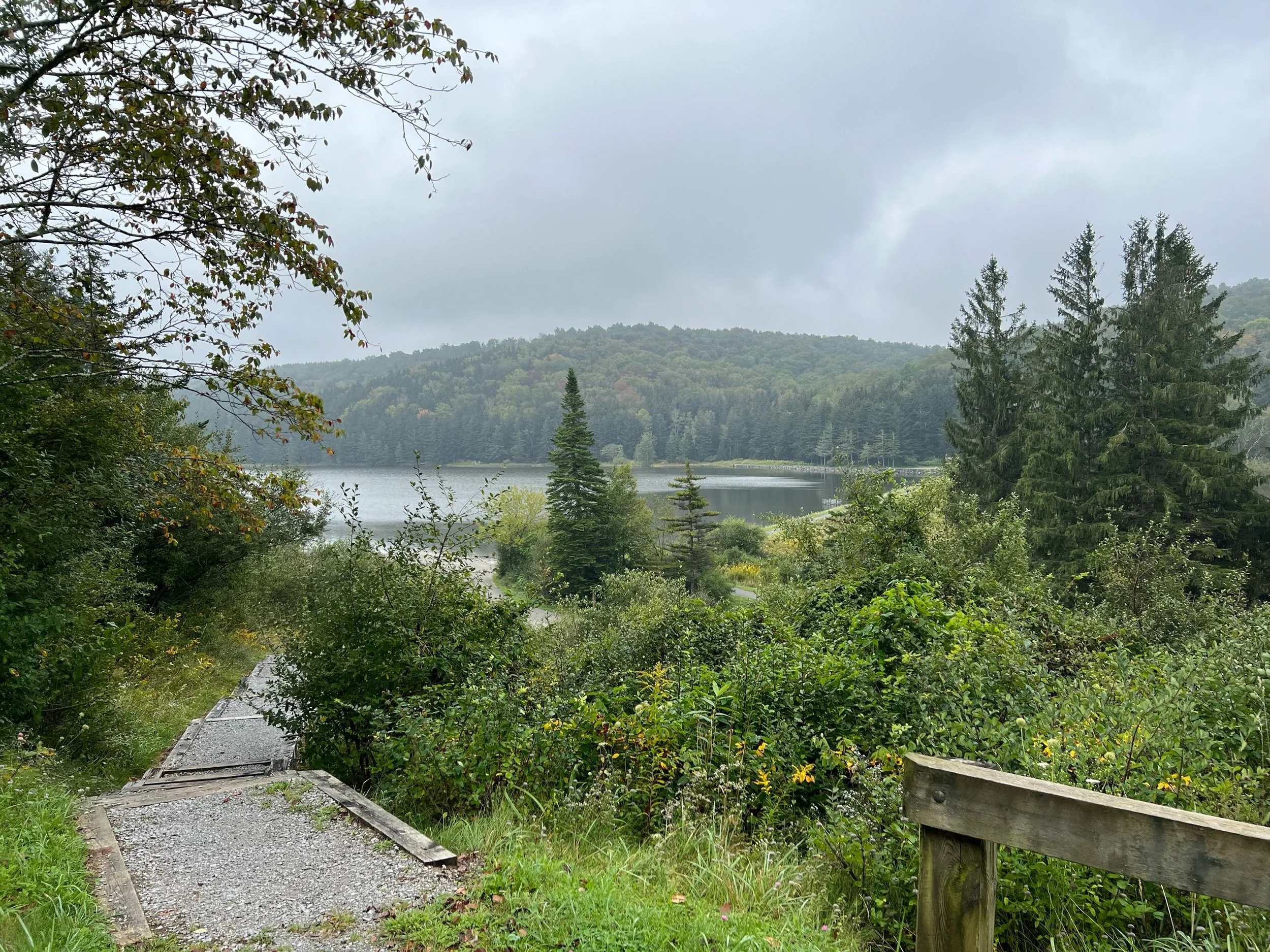
Sunday, Day 1: Canaan Valley to Davis. Setup camp at Rest-Rite Campground and day ride out Canaan Loop Road for hiking at Table Rock and Lindy Point.
Monday, Day 2: Davis to Stuart Recreation Area
Tuesday, Day 3: Stuart Recreation Area (with stop at Bickle Knob) to Laurel Fork Campground
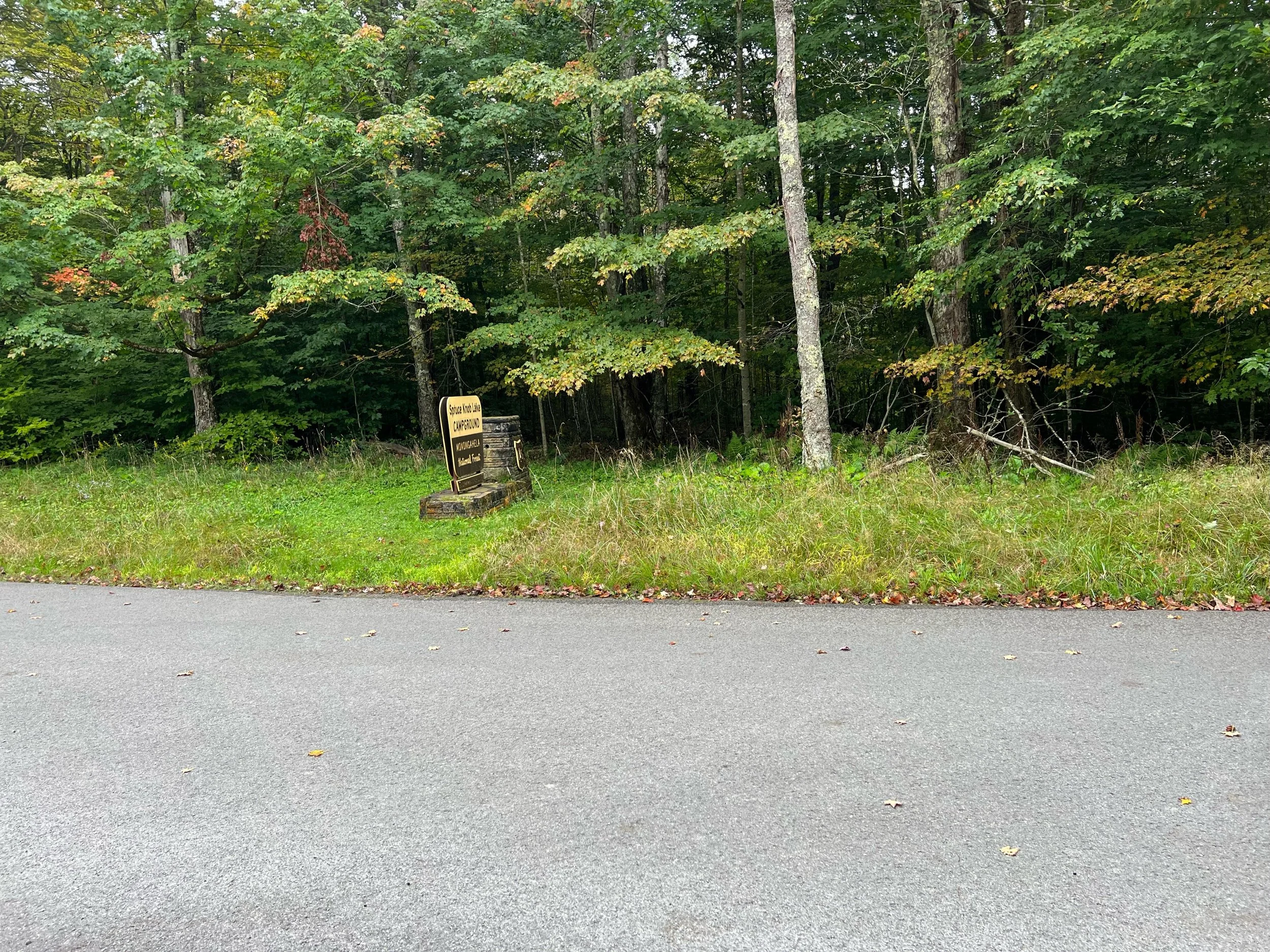
Wednesday, Day 4: Laurel Fork Campground to Spruce Knob Campground (includes stop at Sinks of Gandy and side trip to Spruce Knob)
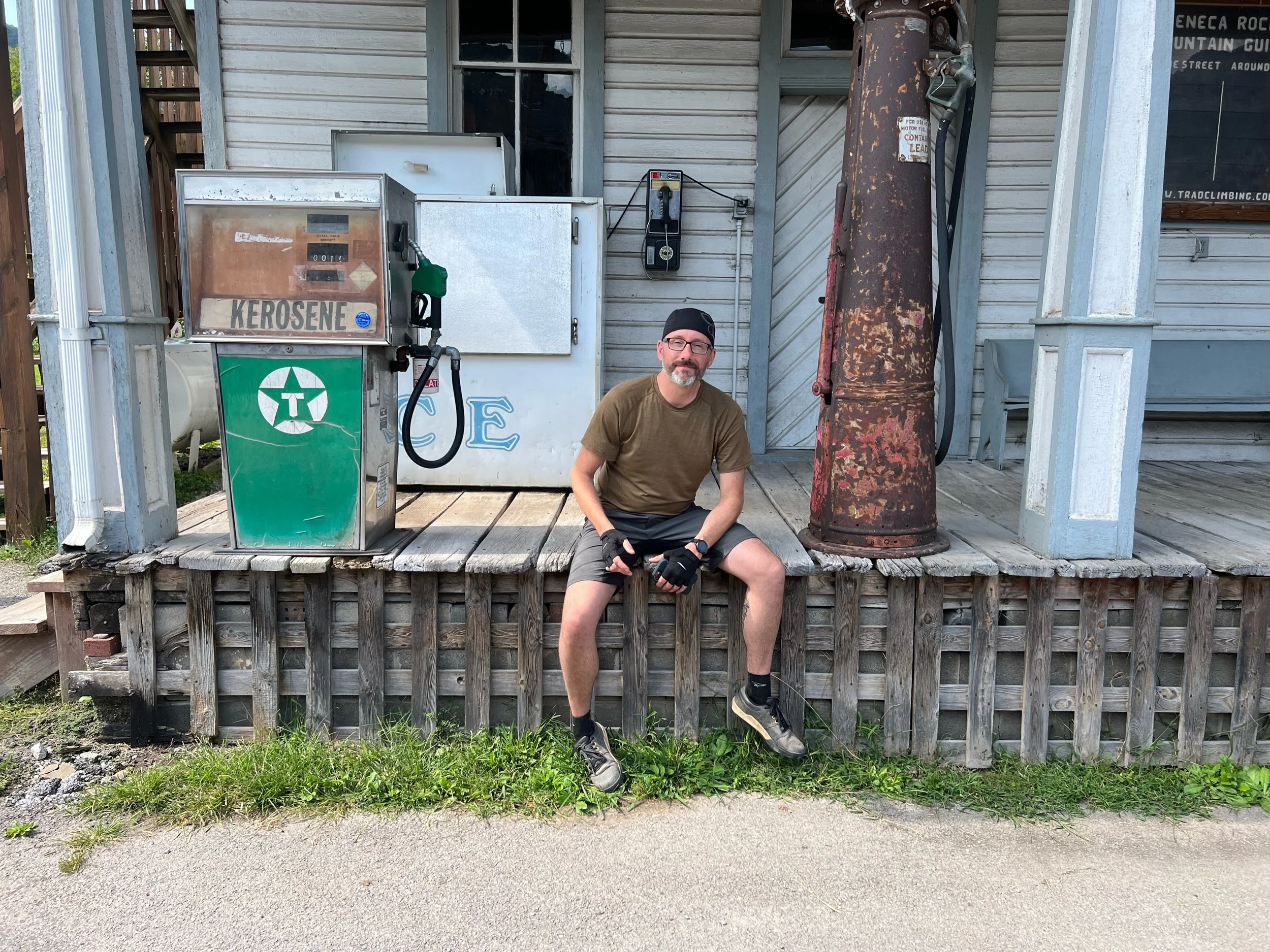
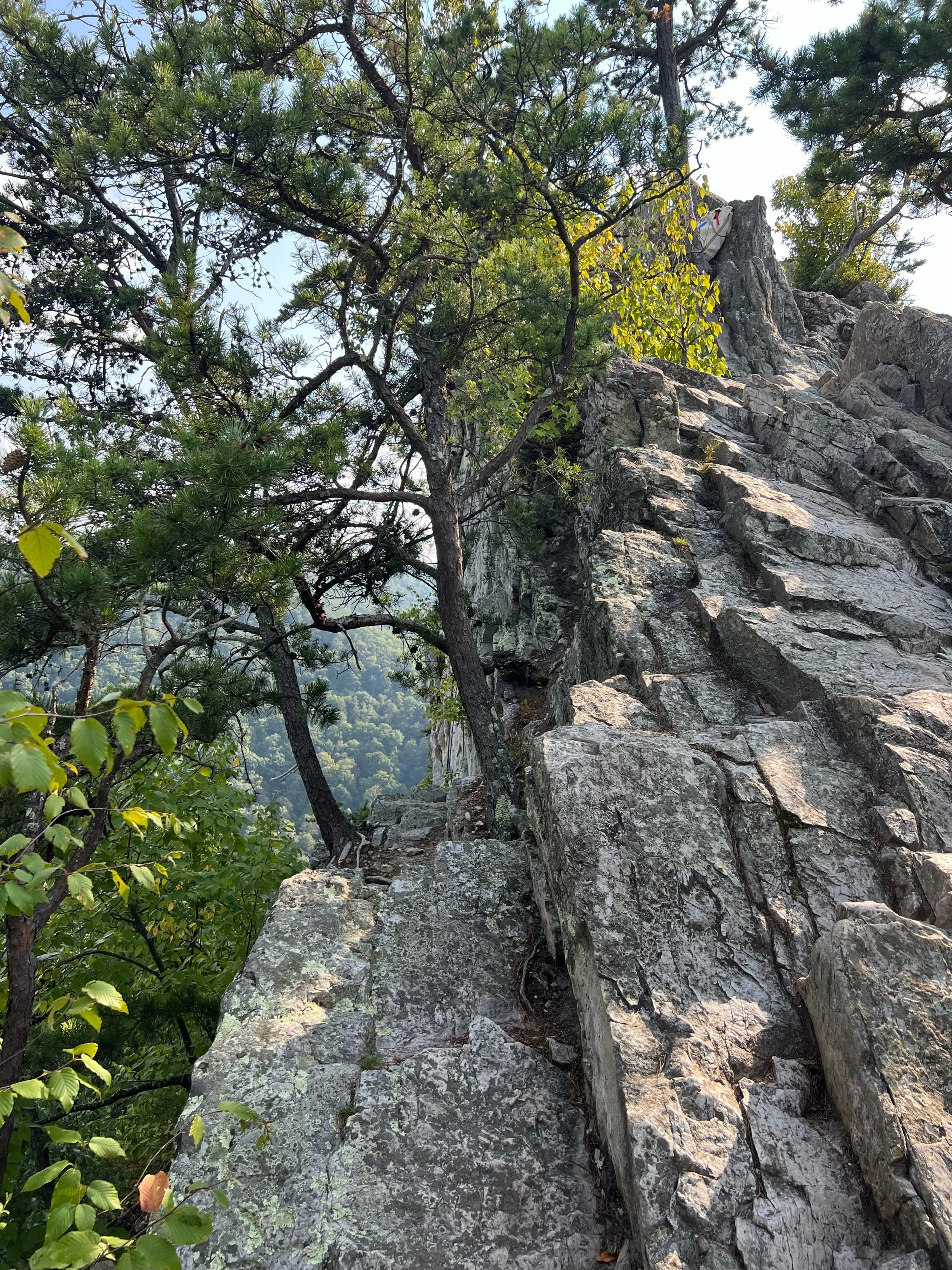
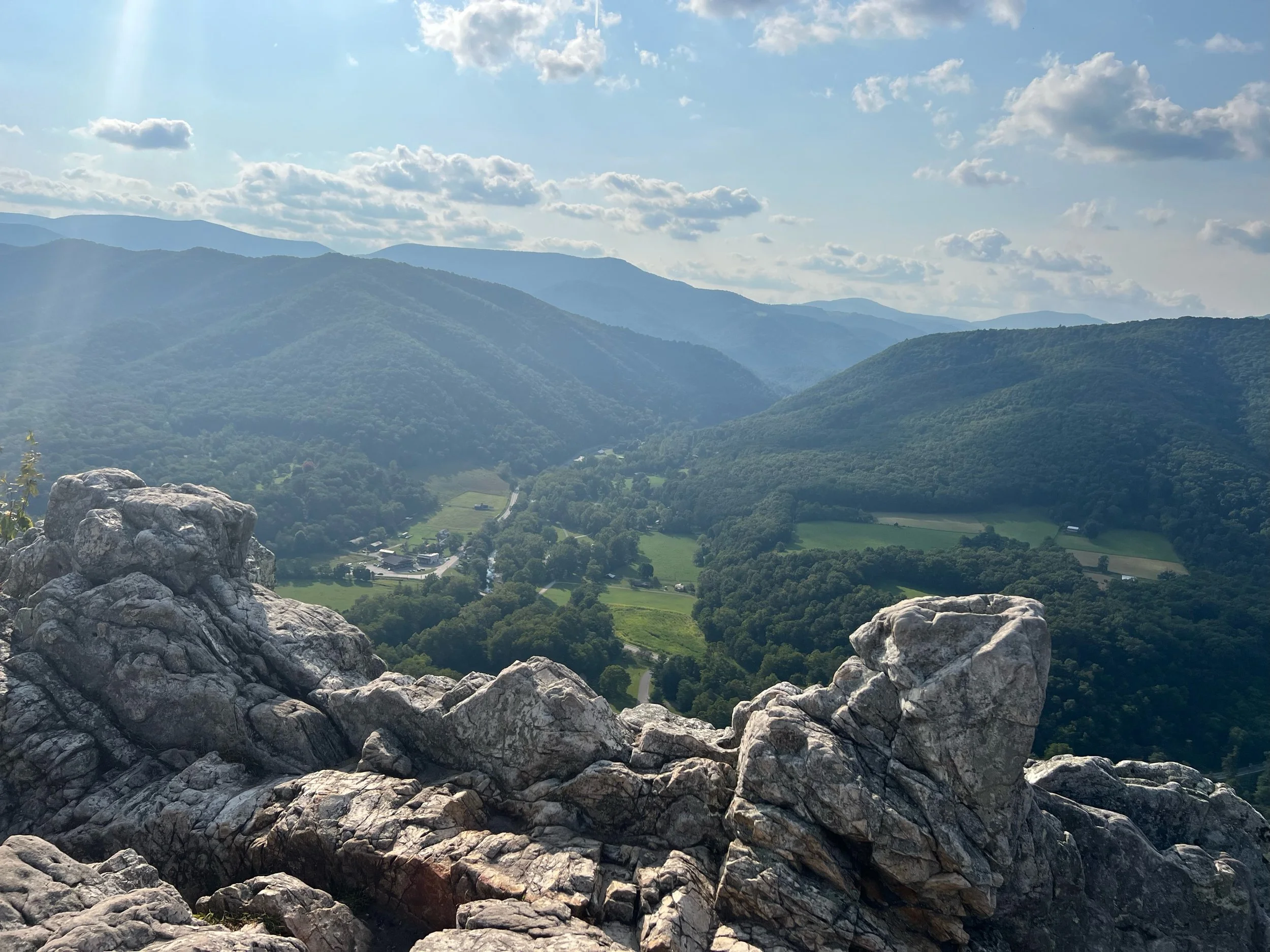
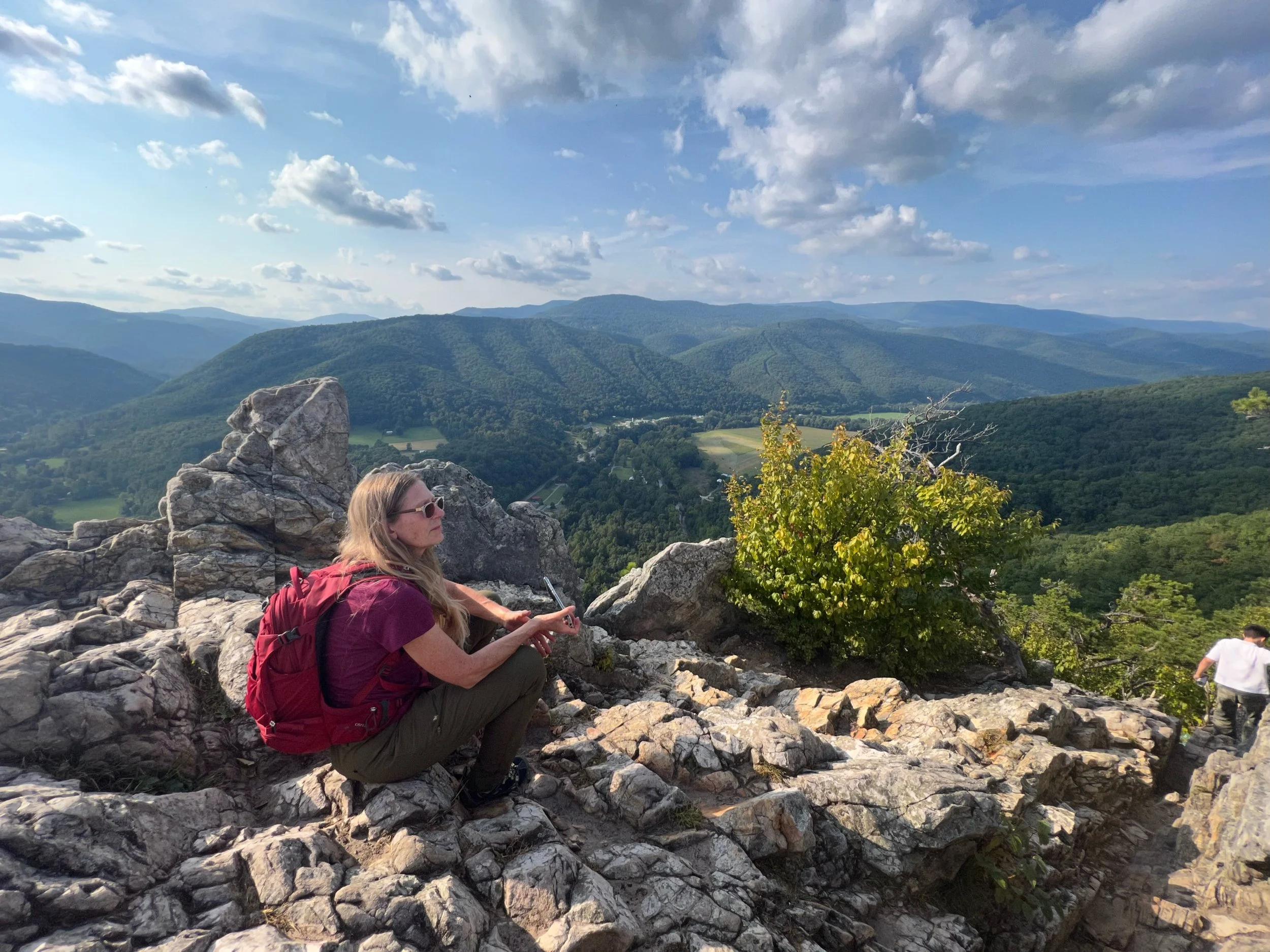
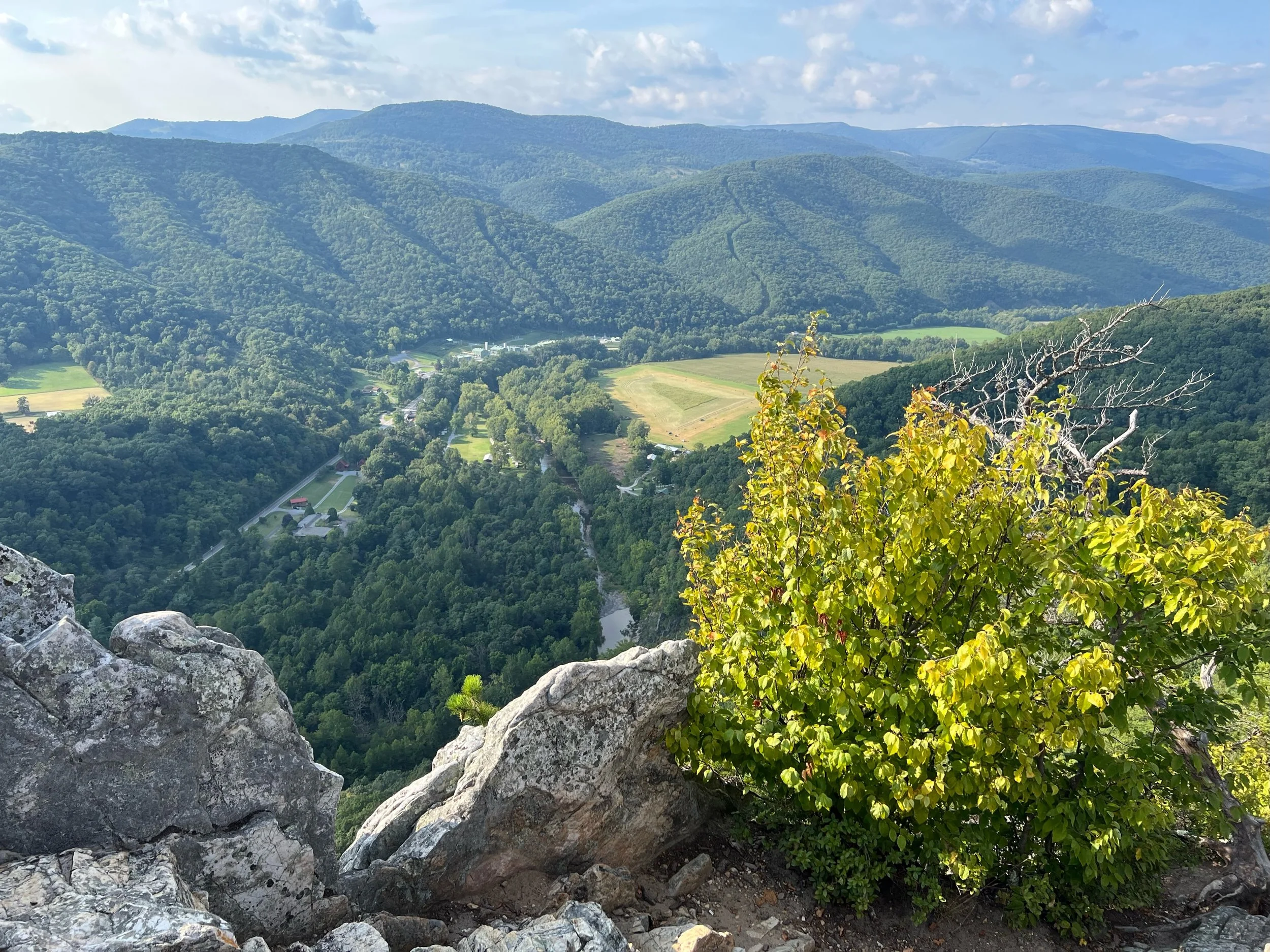
Thursday, Day 5: Spruce Knob Campground to Seneca Rocks (with optional hike to top of the rocks)
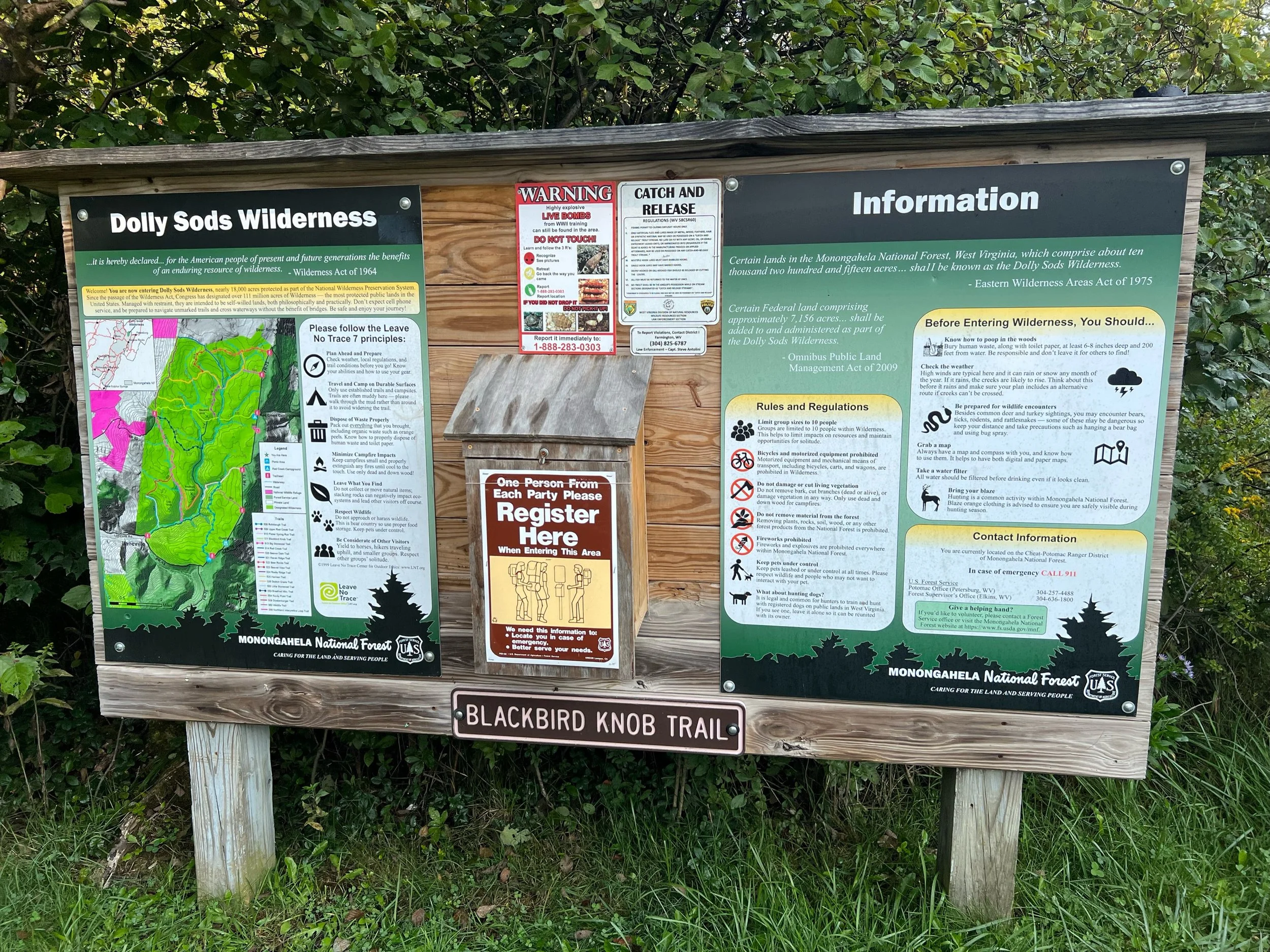
Friday, Day 6: Seneca Rocks to Red Creek Campground in Dolly Sods
Saturday, Day 7: Dolly Sods to Canaan Valley
Our final stats
Cycling = 169.2 miles with 14716 feet of climbing.
Seneca Rocks hike = 3 miles with 800 feet of climbing.
Day 7 hike = 7.5 mile with 919 feet of climbing.
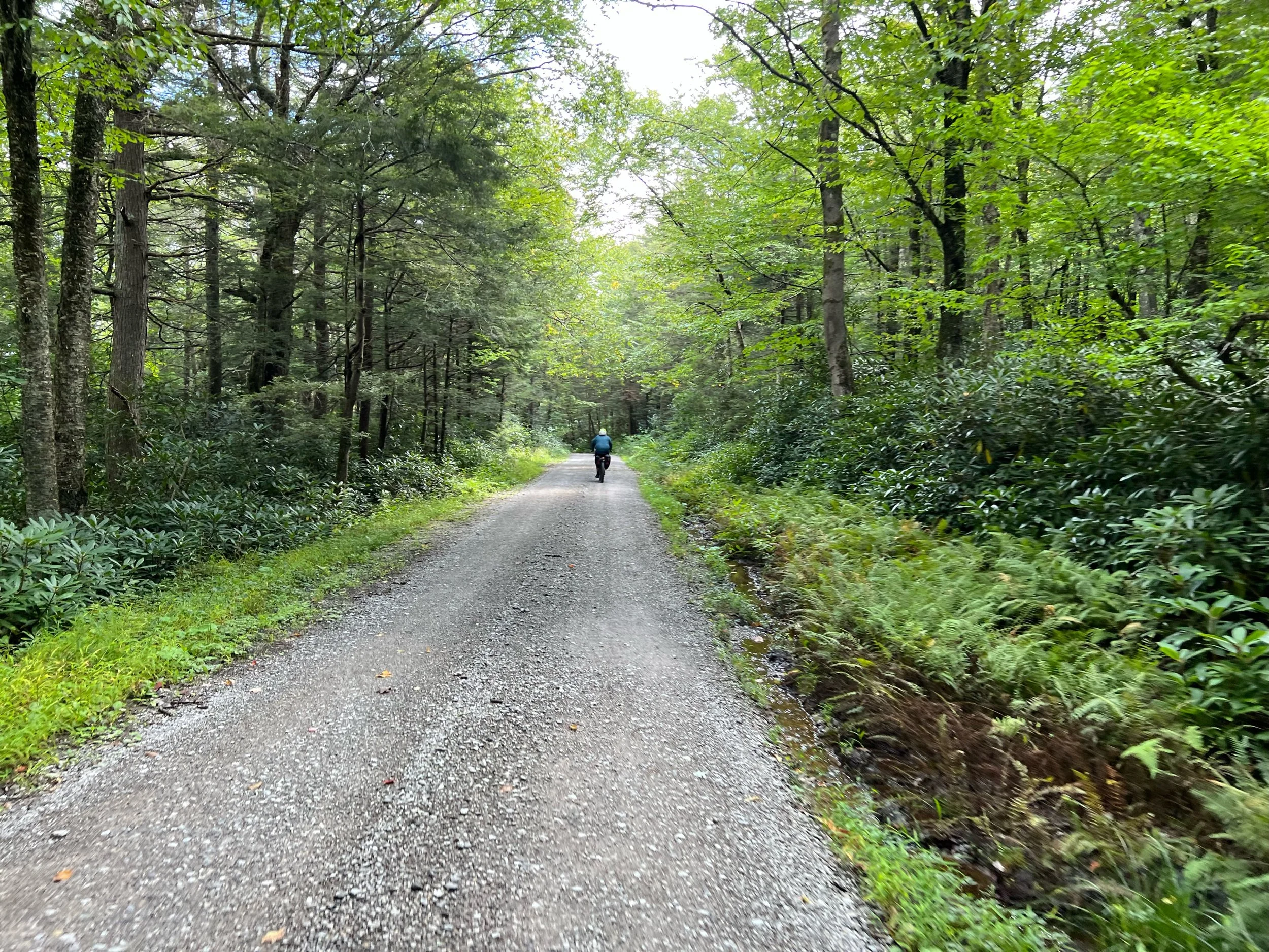
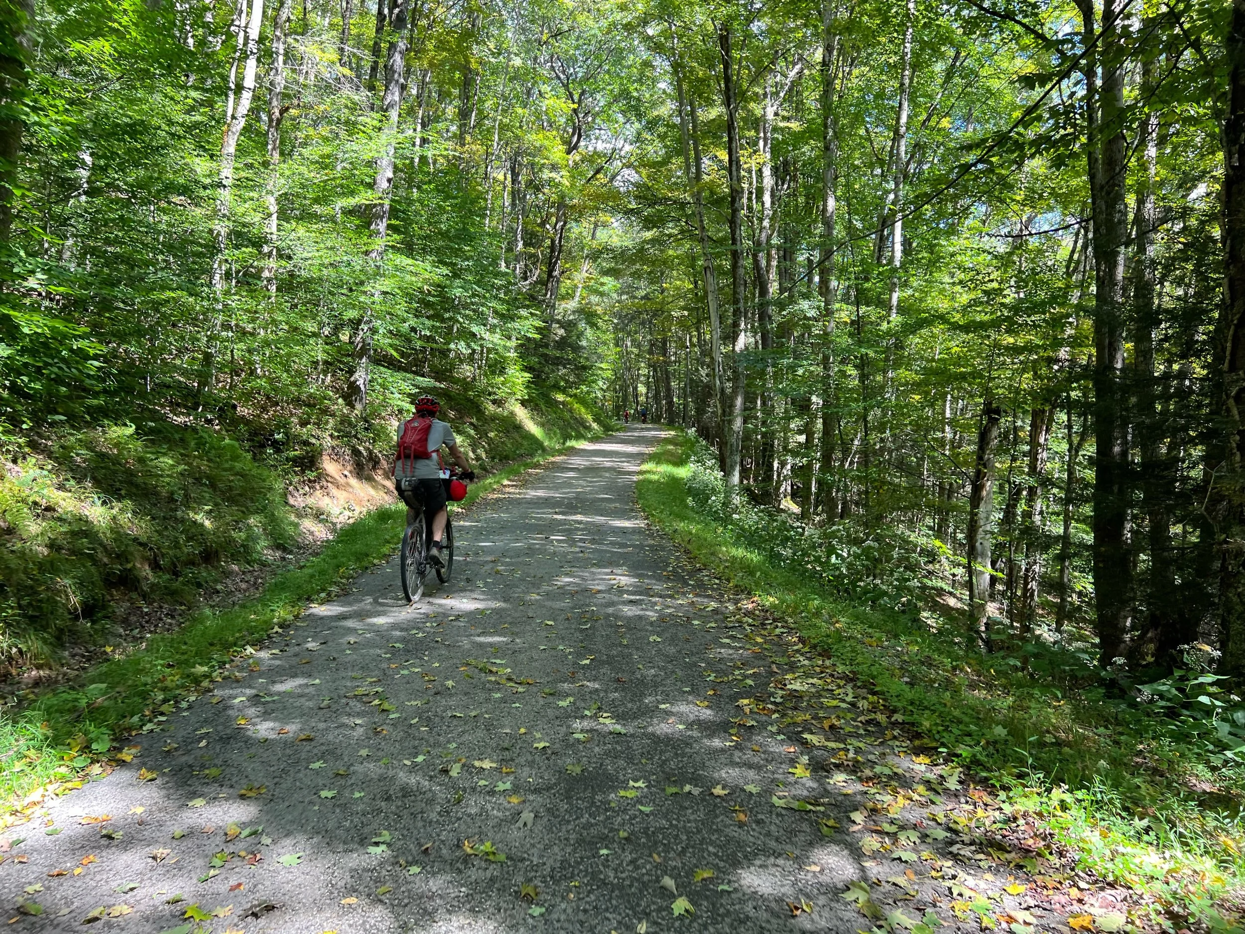
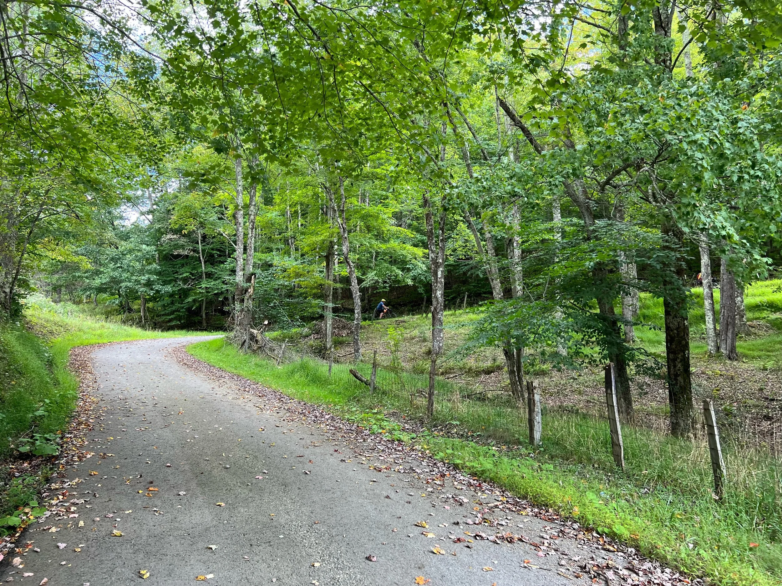
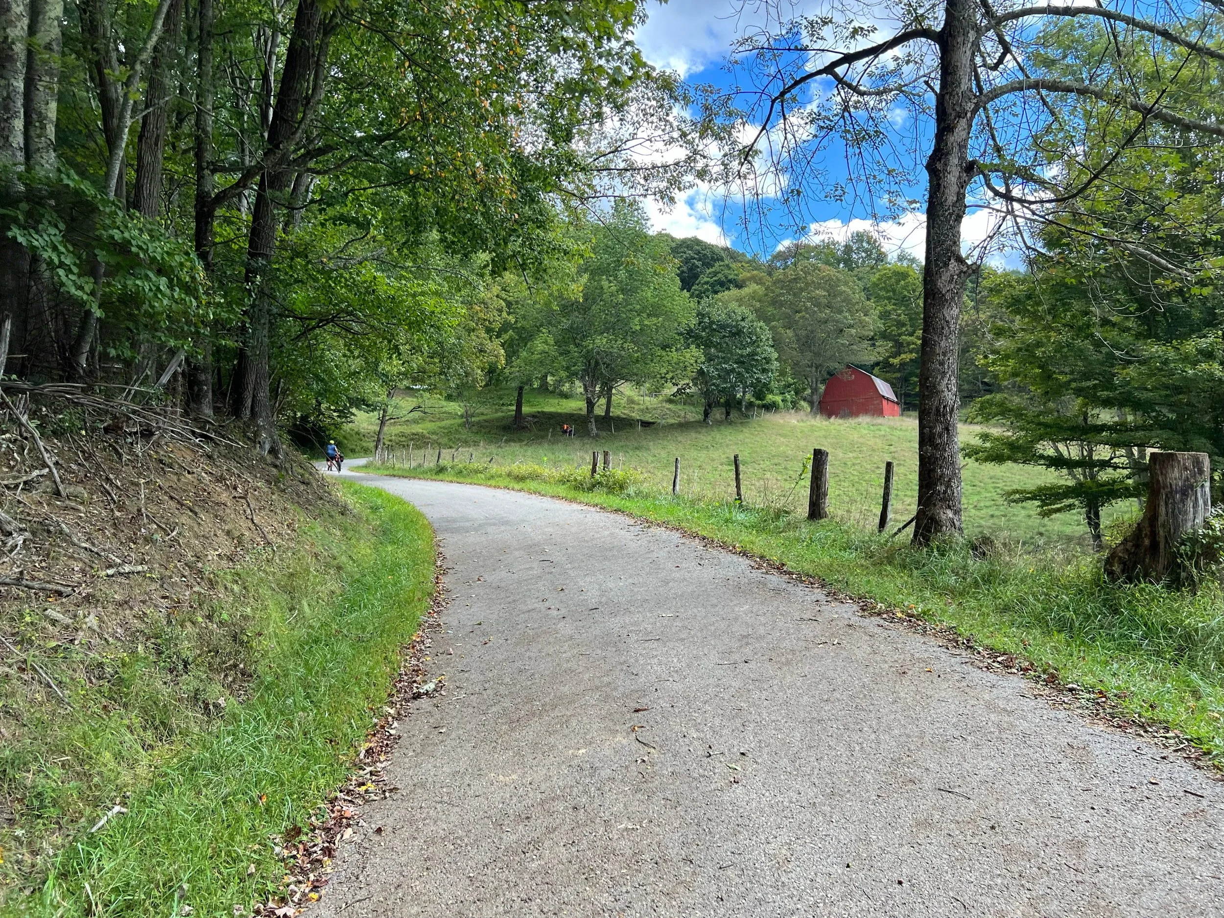
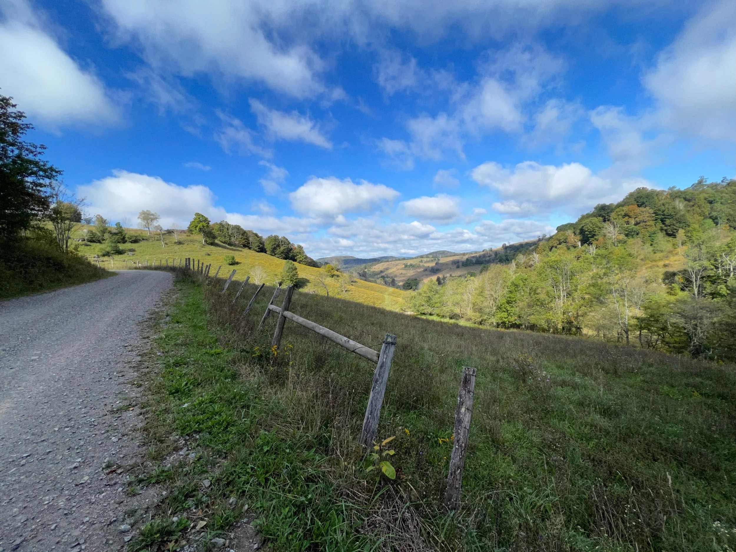
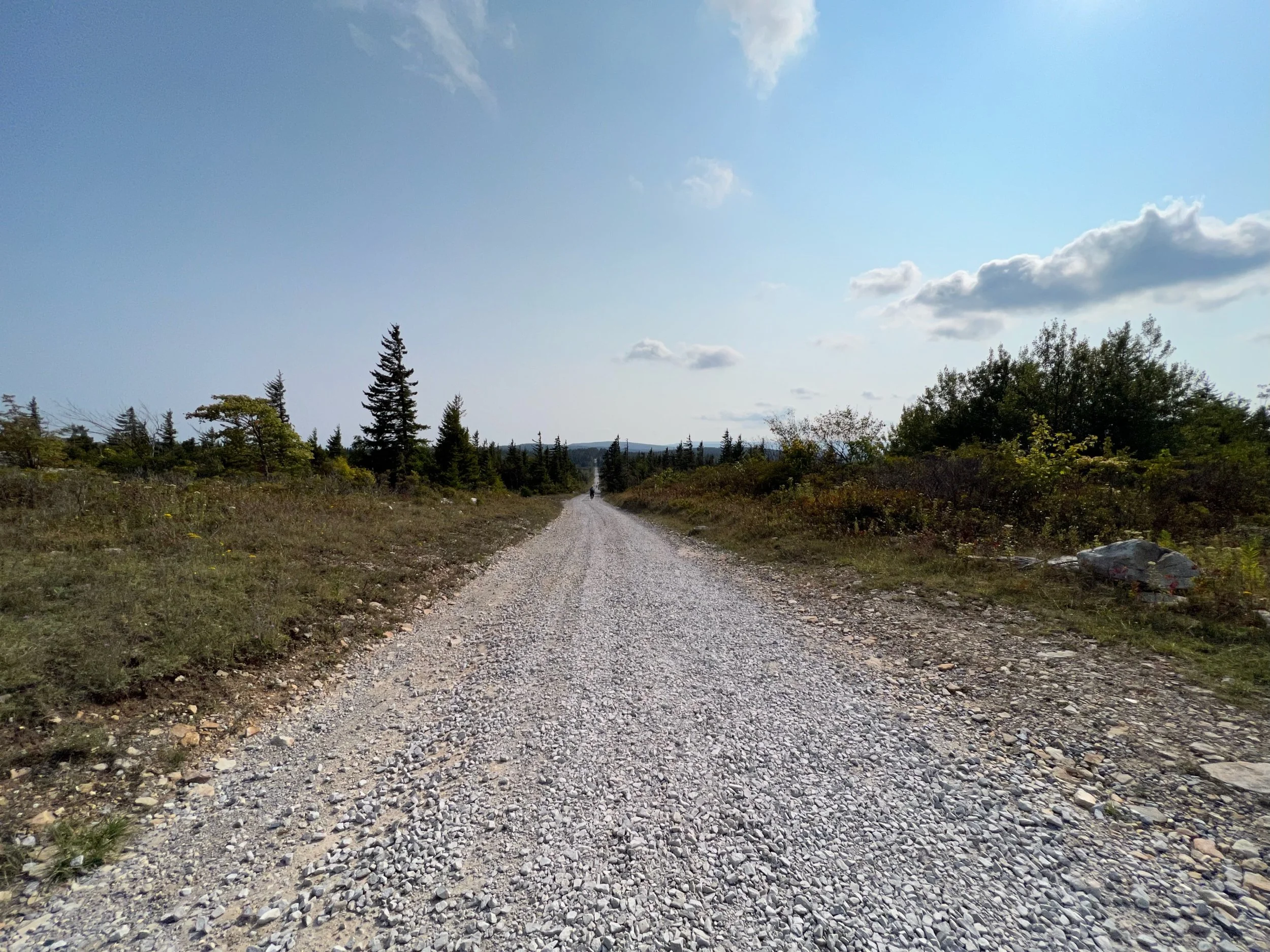
The route
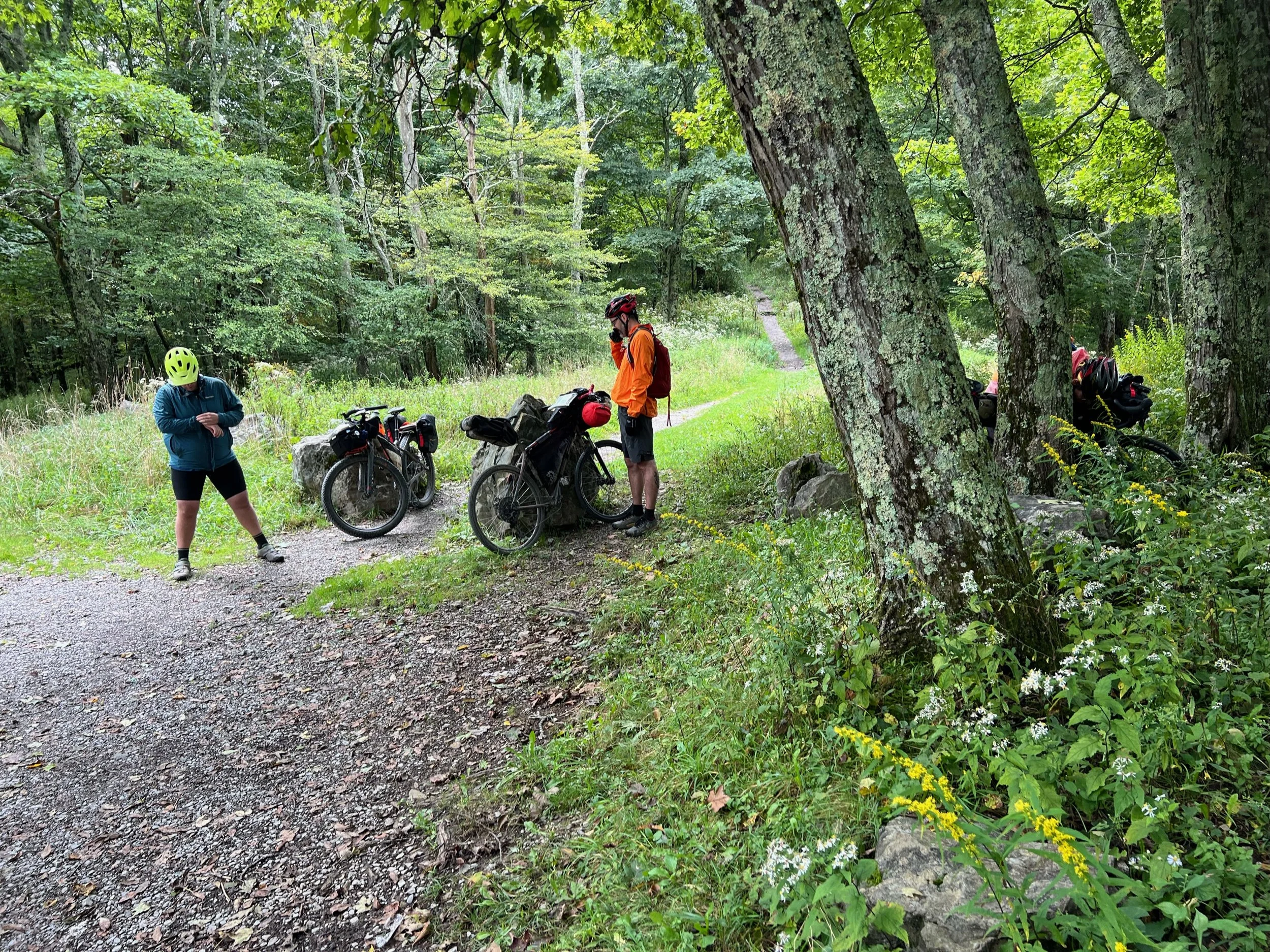
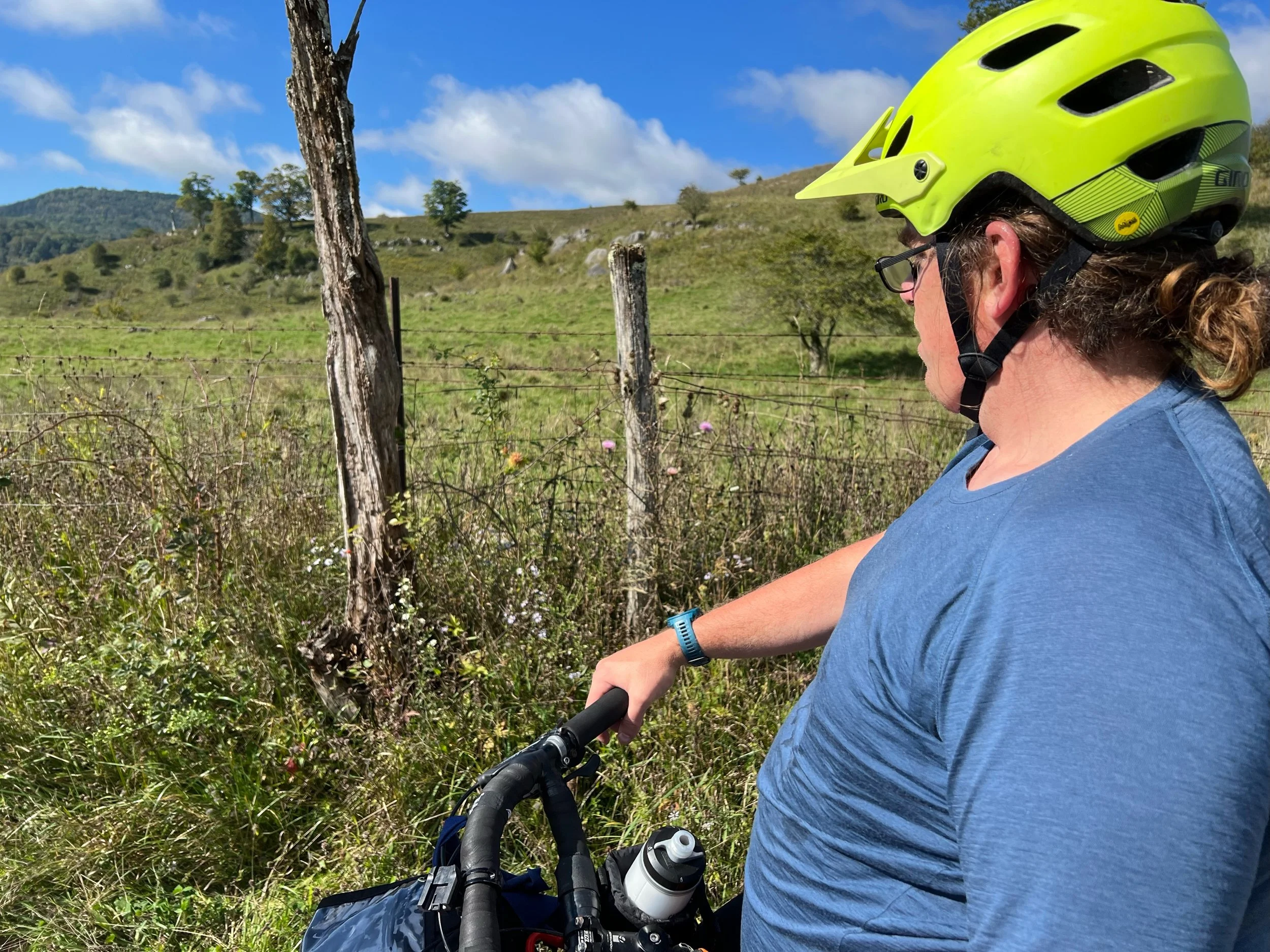
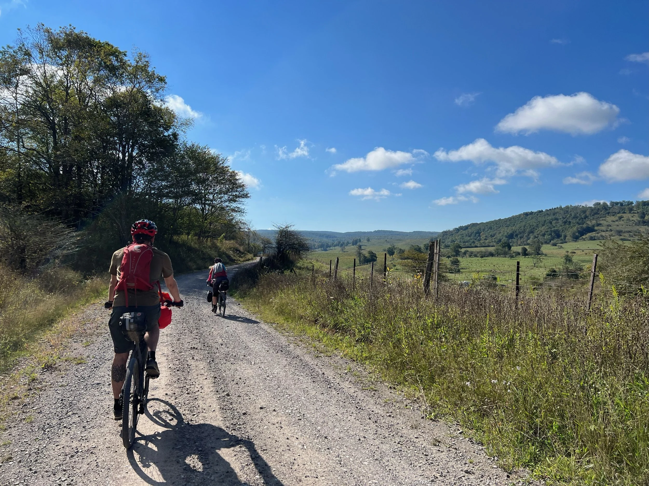
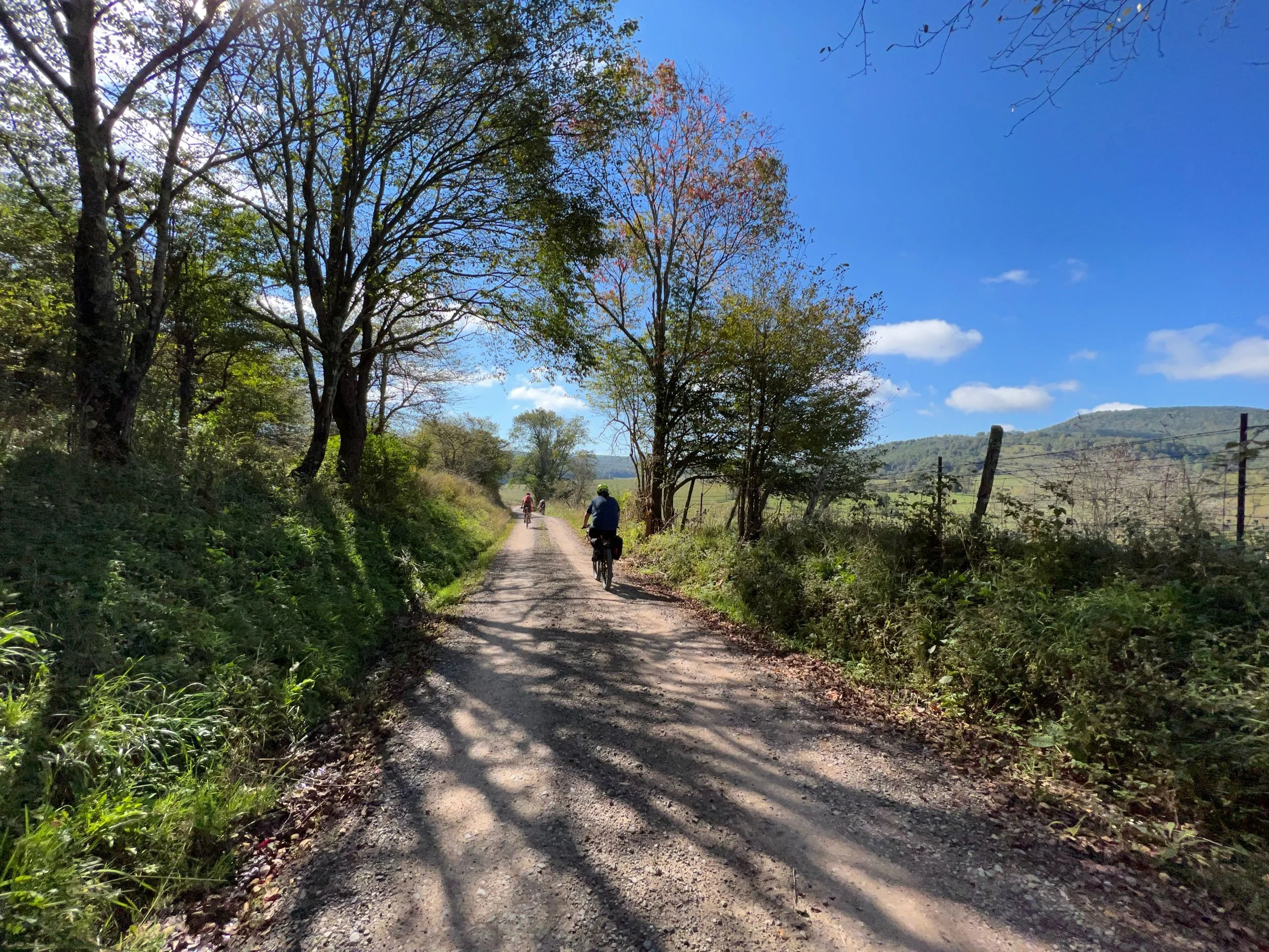
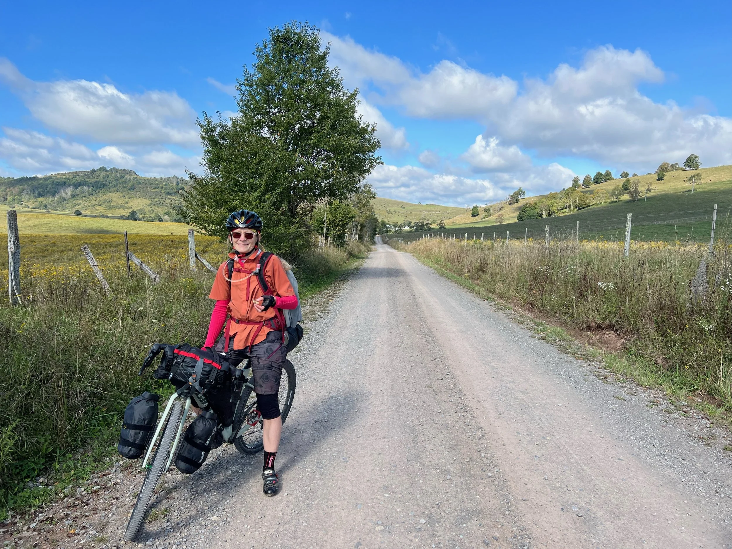
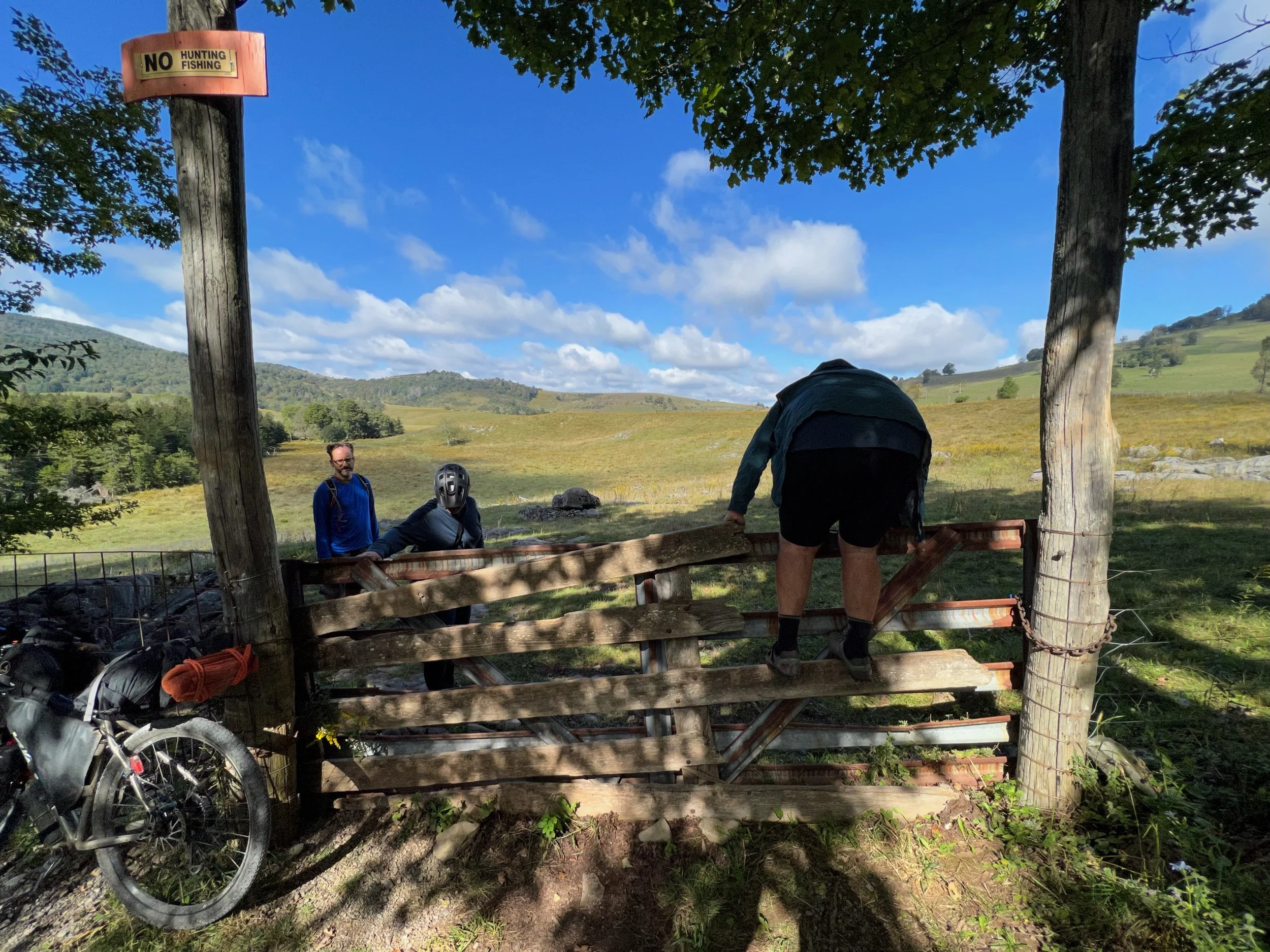
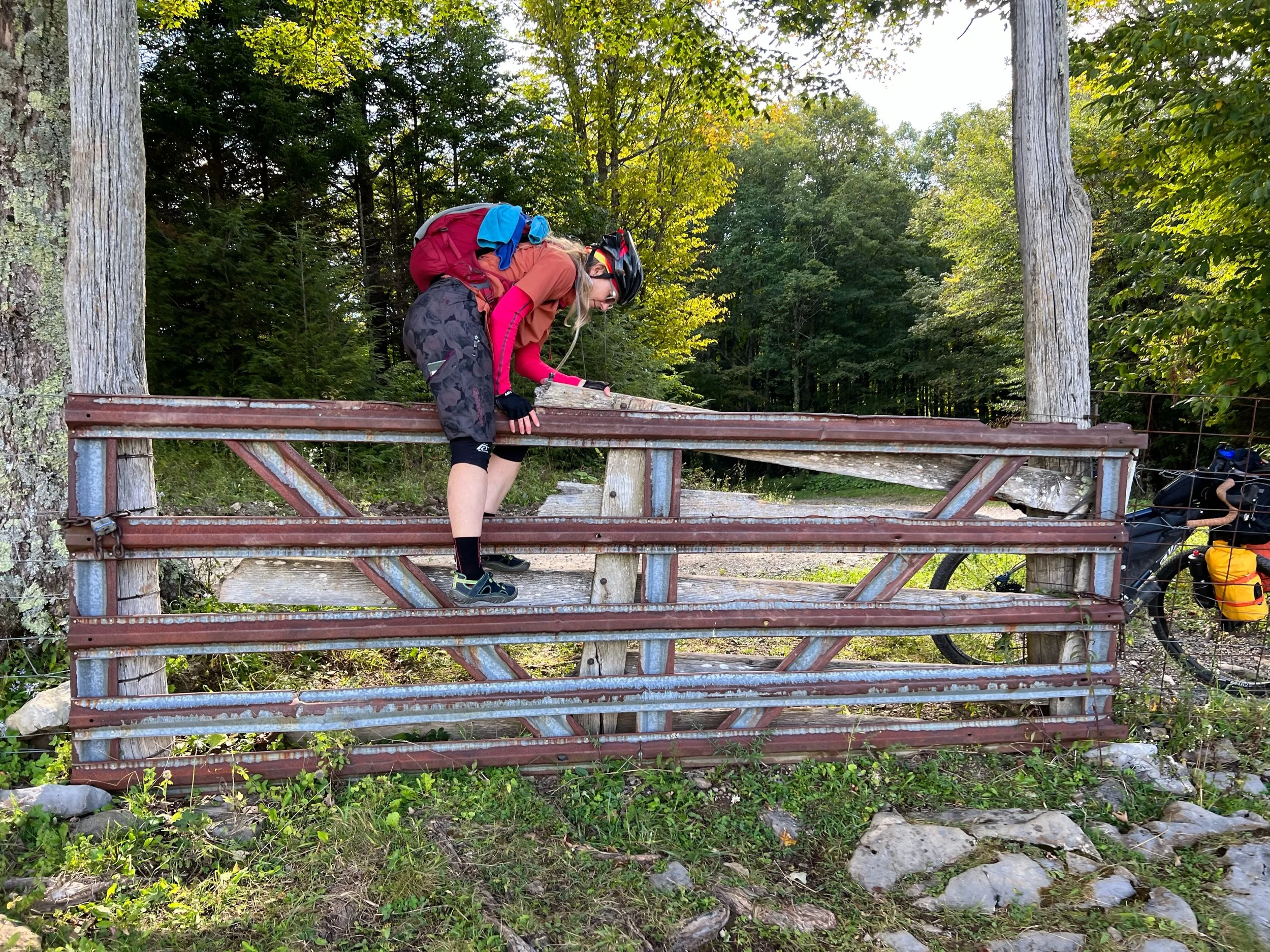
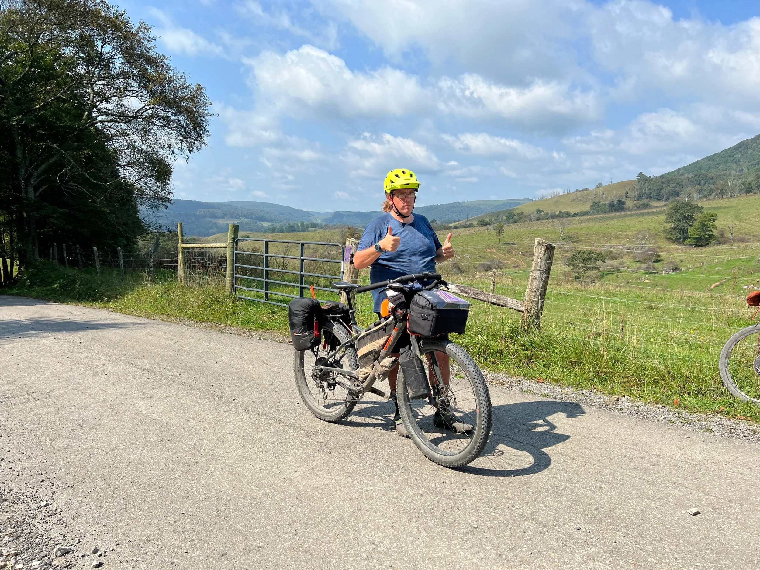
Our group

Peter D.

Teresa P.
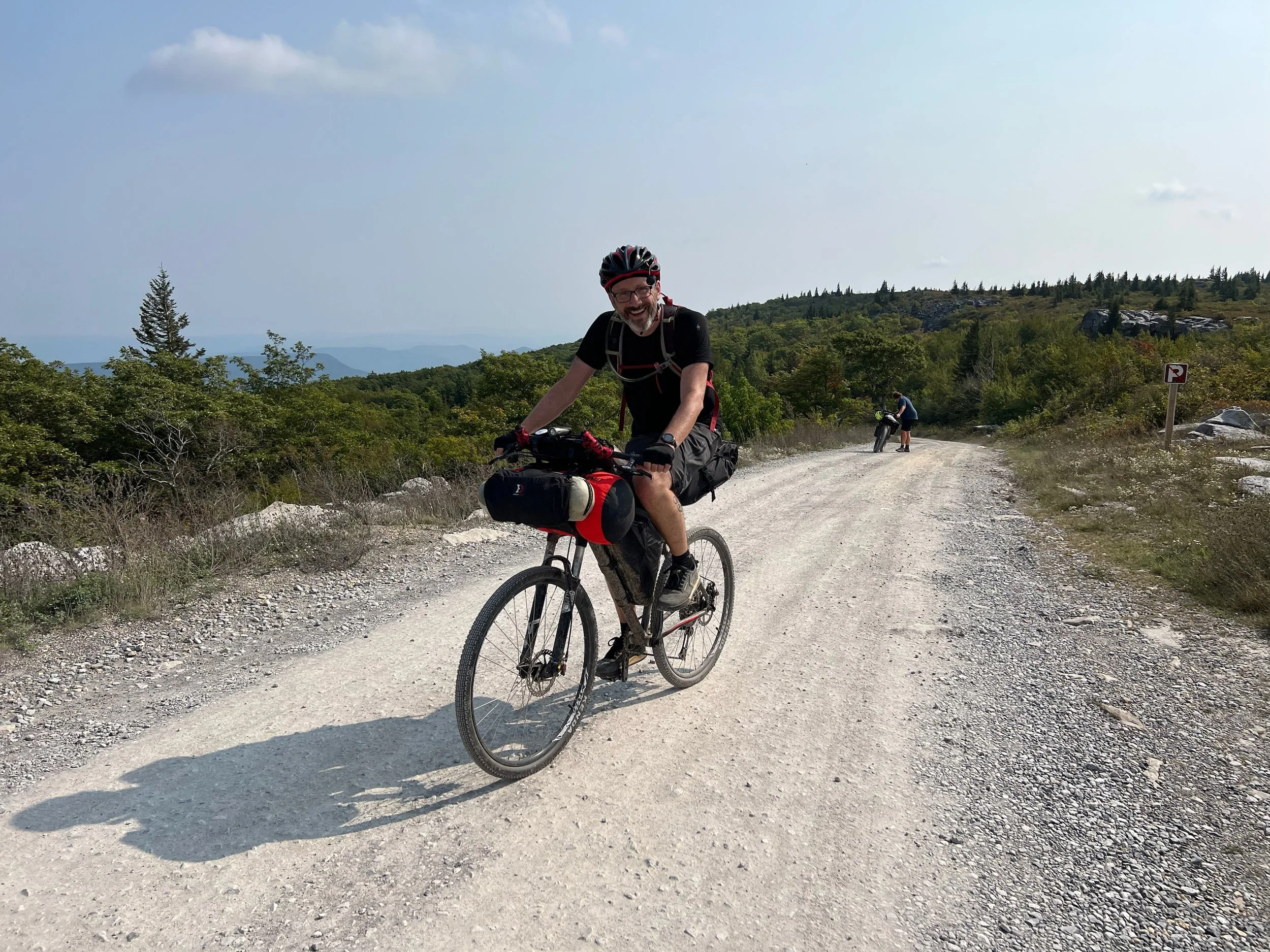
Nick T.
Tim C.
Ray G.
Canaan Loop Road Adventure + Hiking
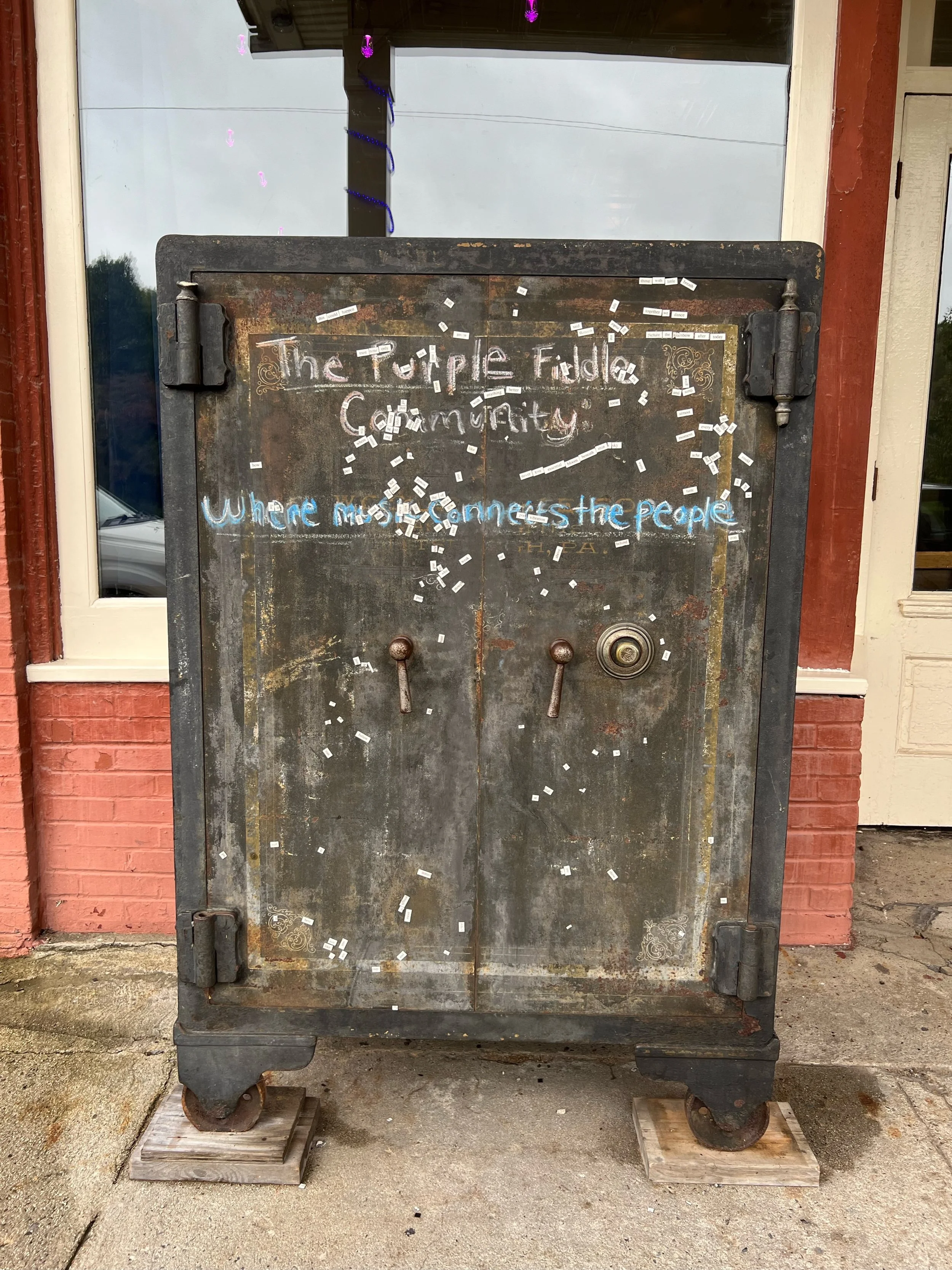
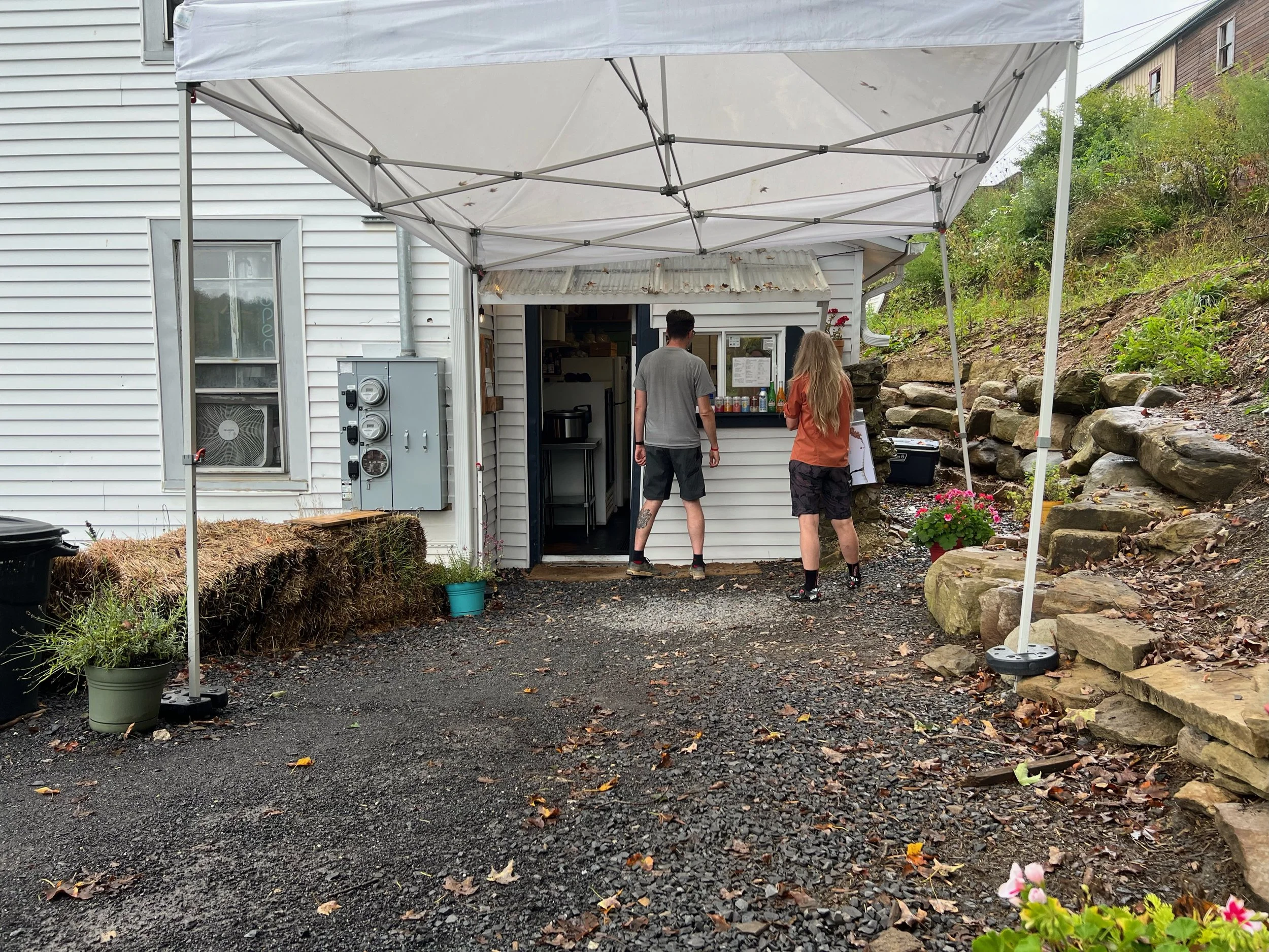
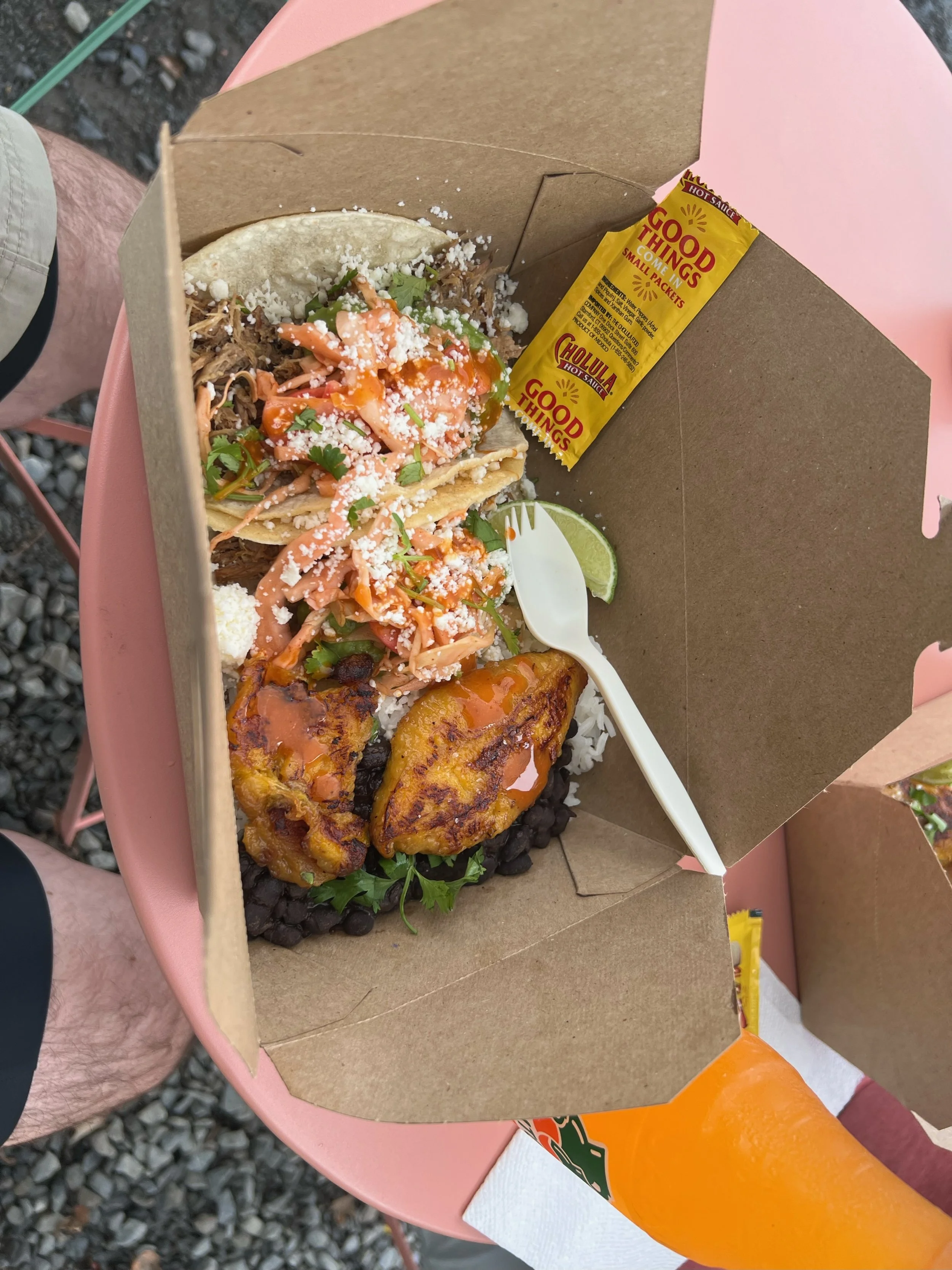
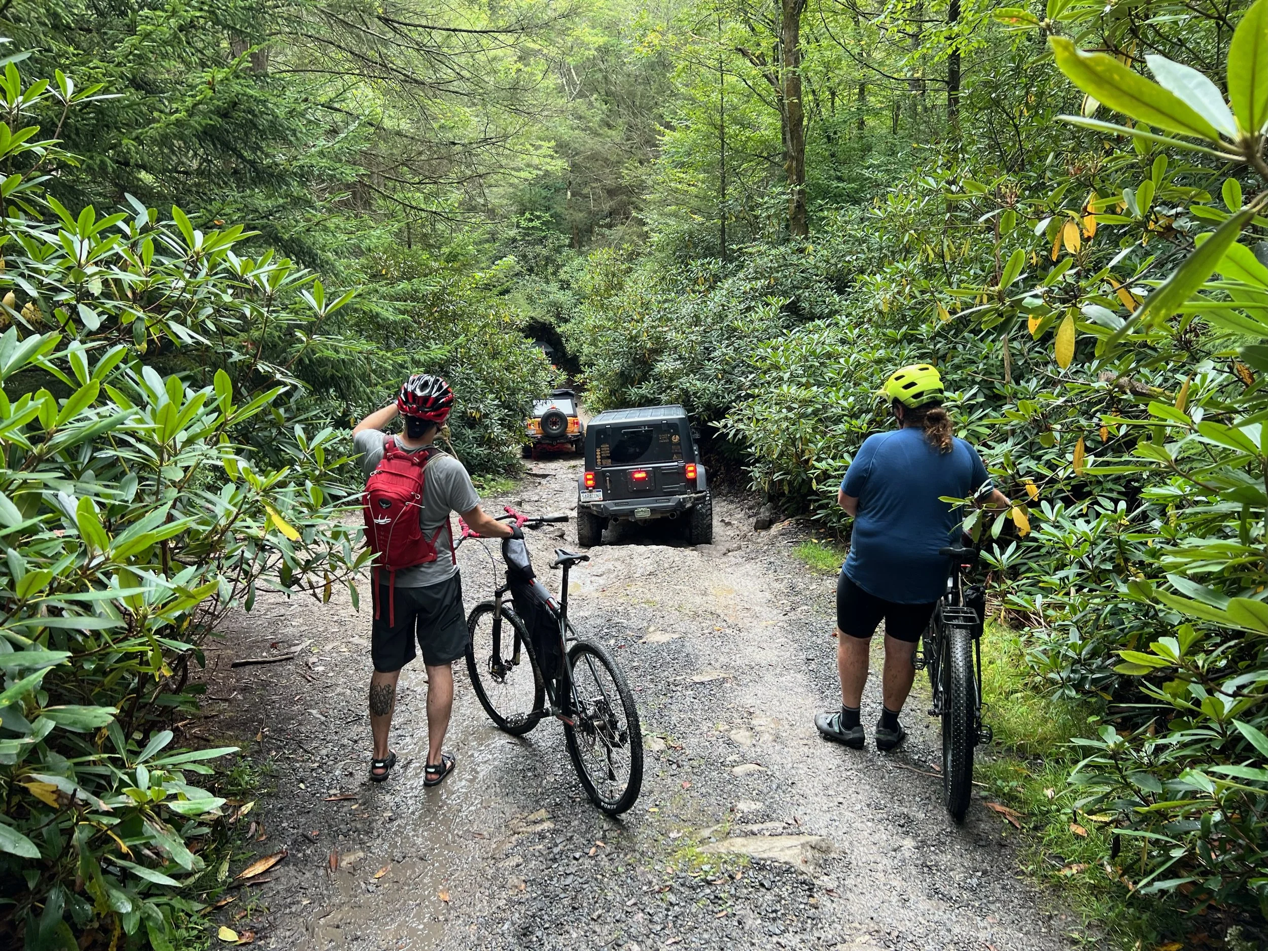
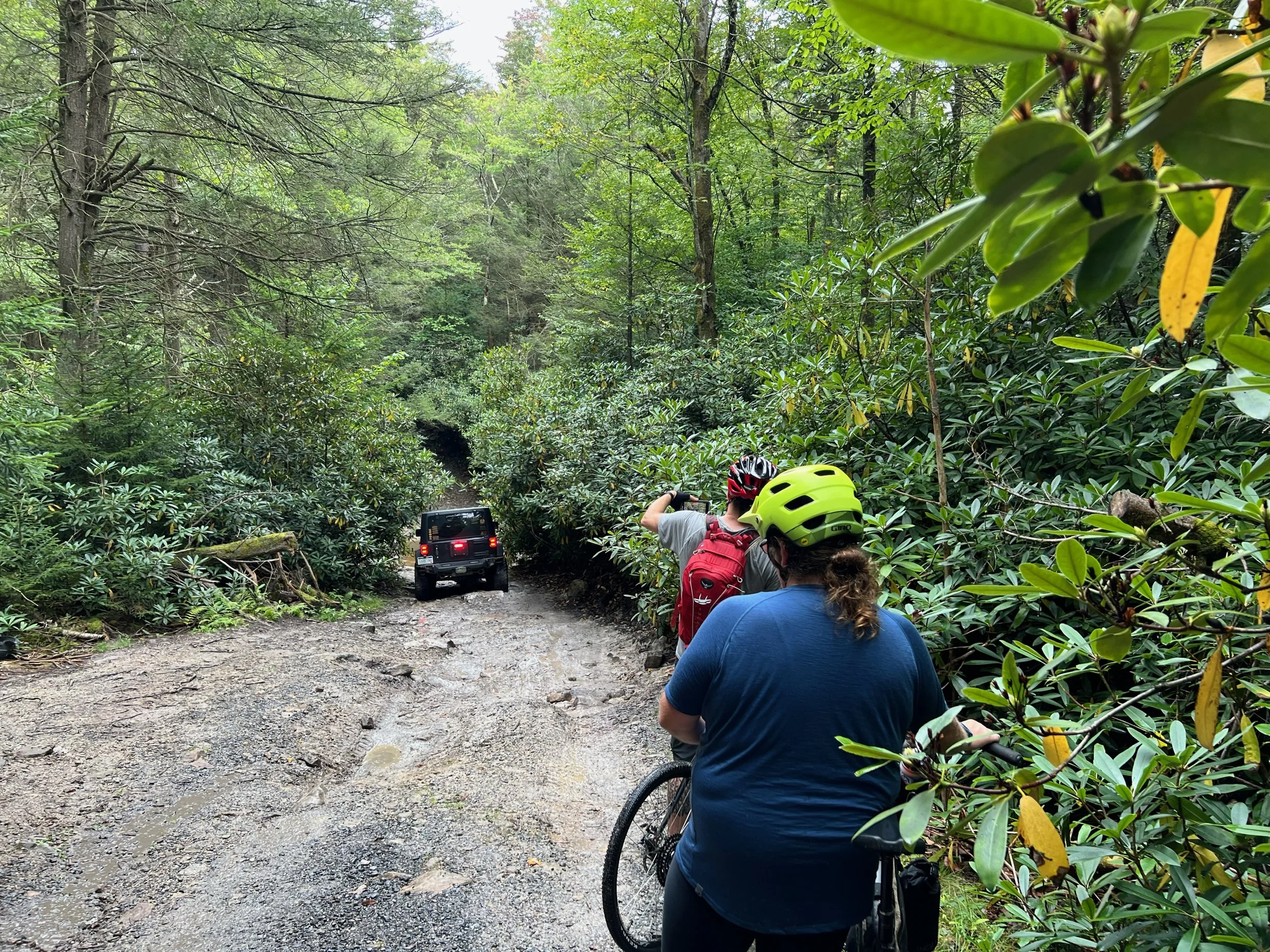
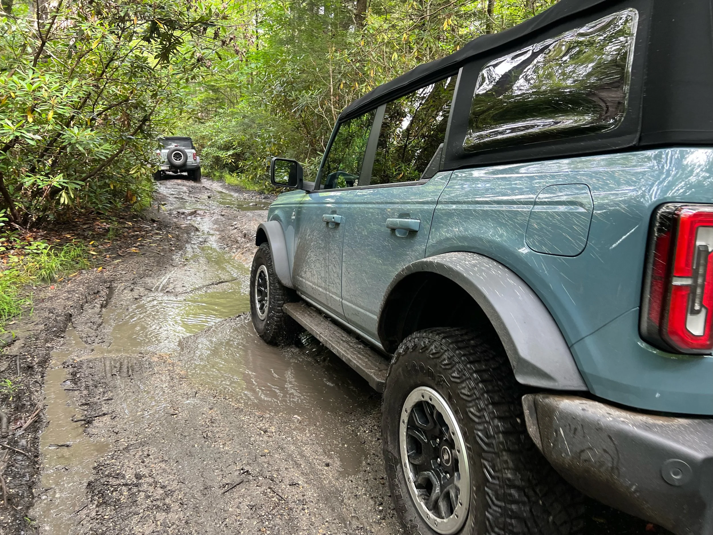
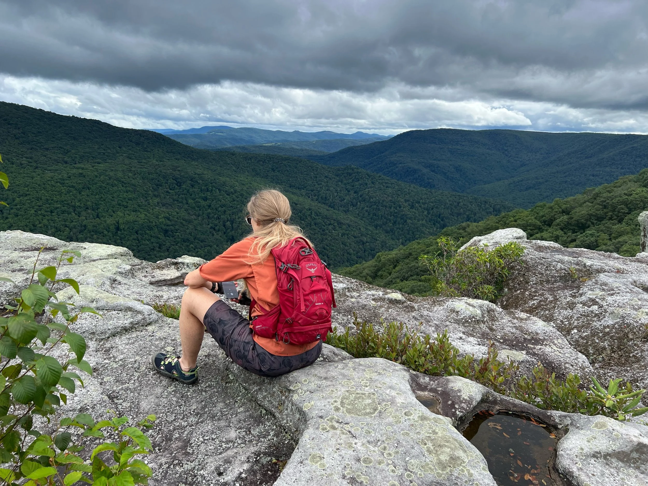
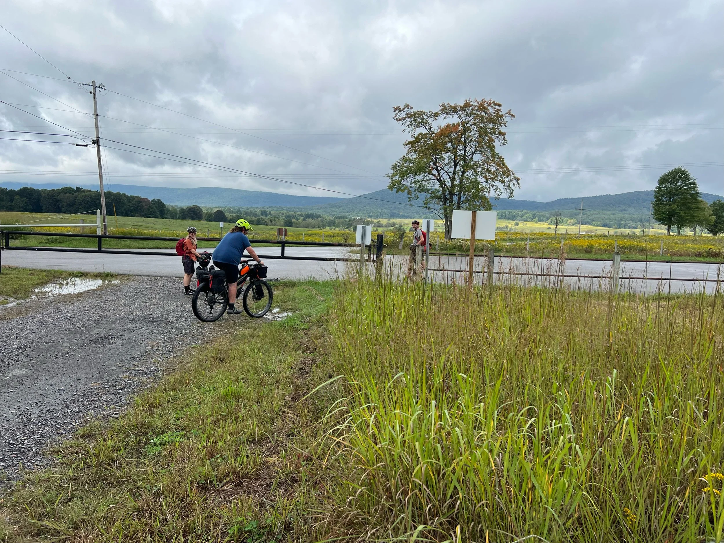
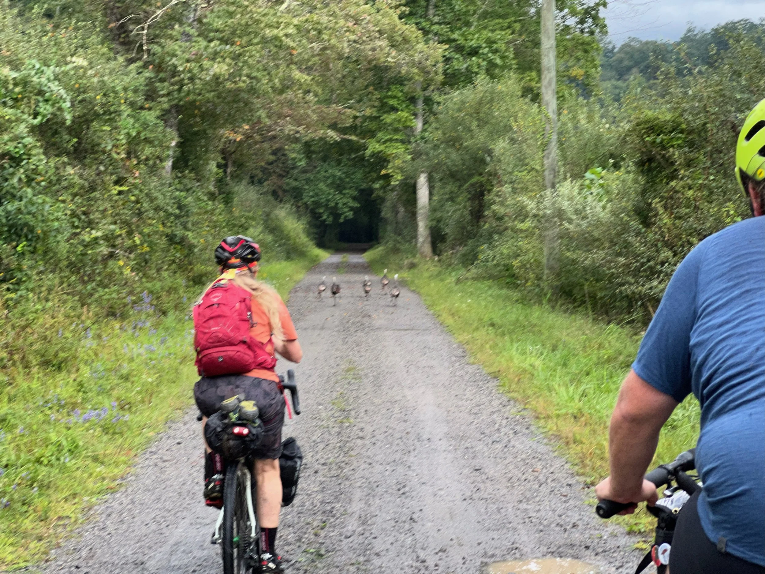
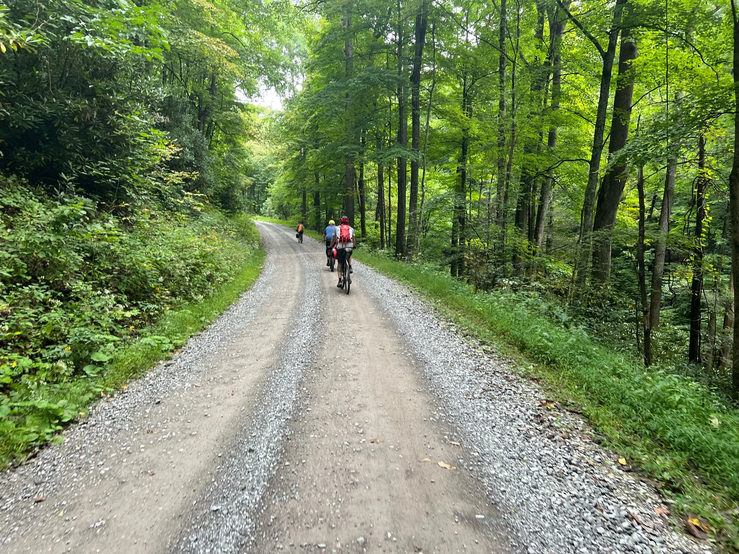
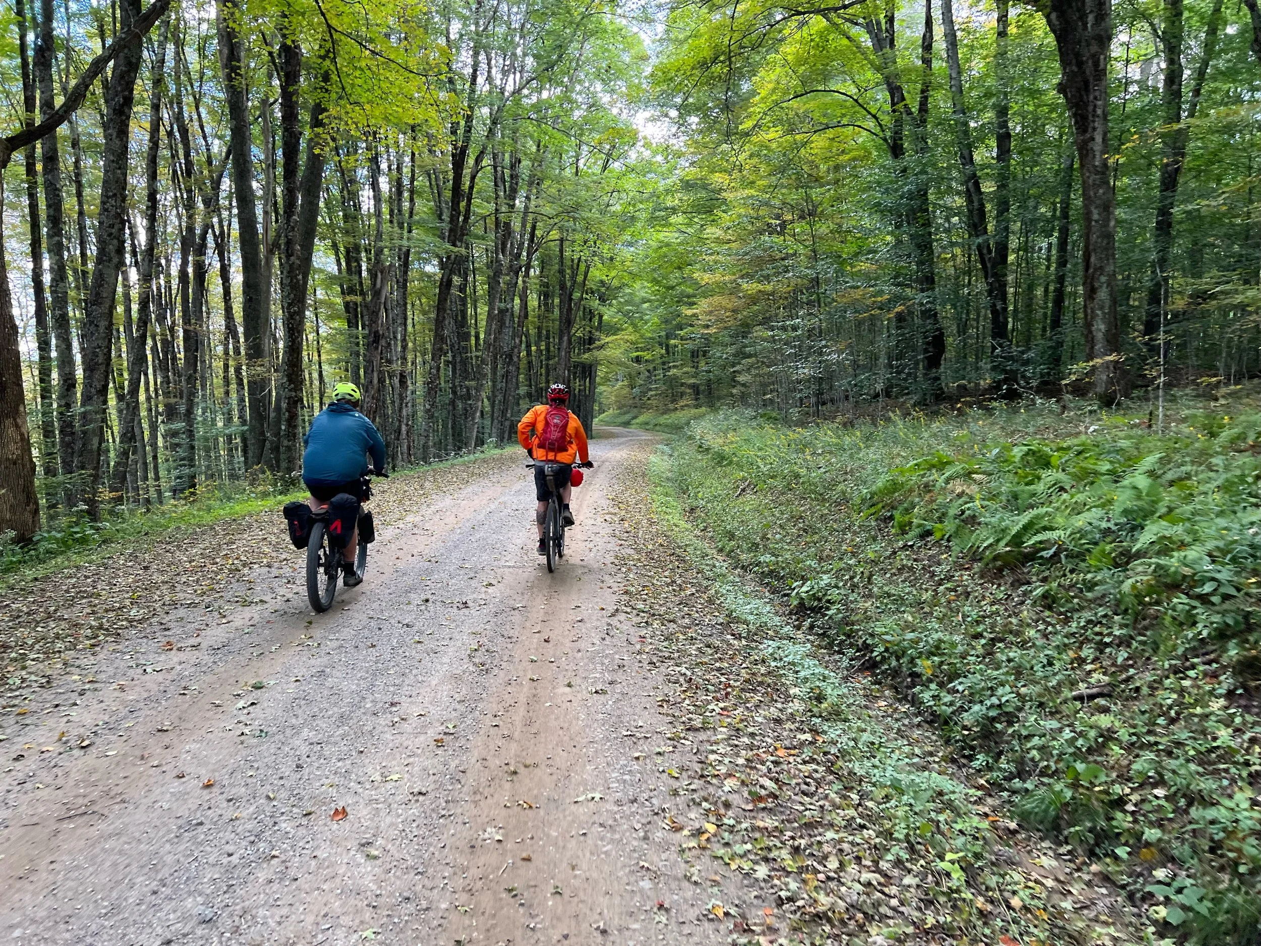
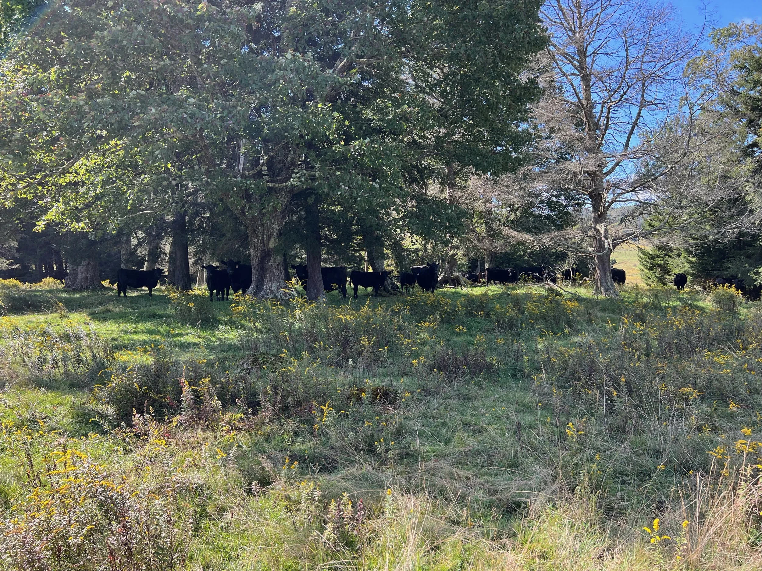
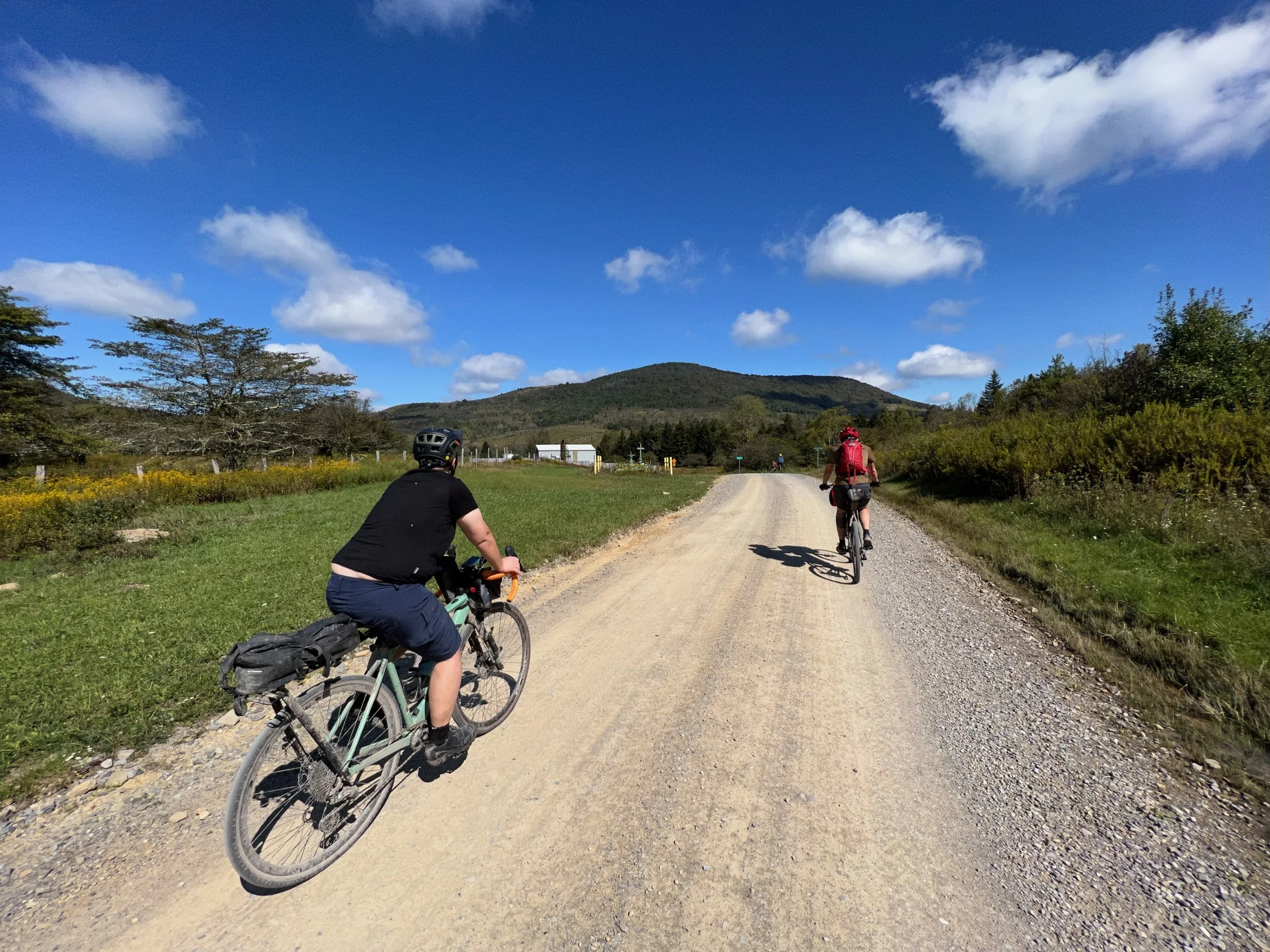
Day one was not day one. Because of the expected rain on Sunday night we decided to combine the day one and day two routes skipping our stay at the Rest Rite campground in Davis. Instead we stayed at the cabin for another night. However, we did head over for our planned ride and hiking on Canaan Loop Road. We stopped at Picnic in Thomas, WV for lunch before parking at the sledding hill in Blackwater Fall State Park. We then rode out to Table Rock Trailhead on Canaan Loop Road and hiked out to the overlook. On the ride back we stopped at Lindy Point for the view. We encountered several groups of overlanders along the way. We stopped at Canaan Valley BBQ for dinner and sat outside on the deck enjoying our meal and the company.


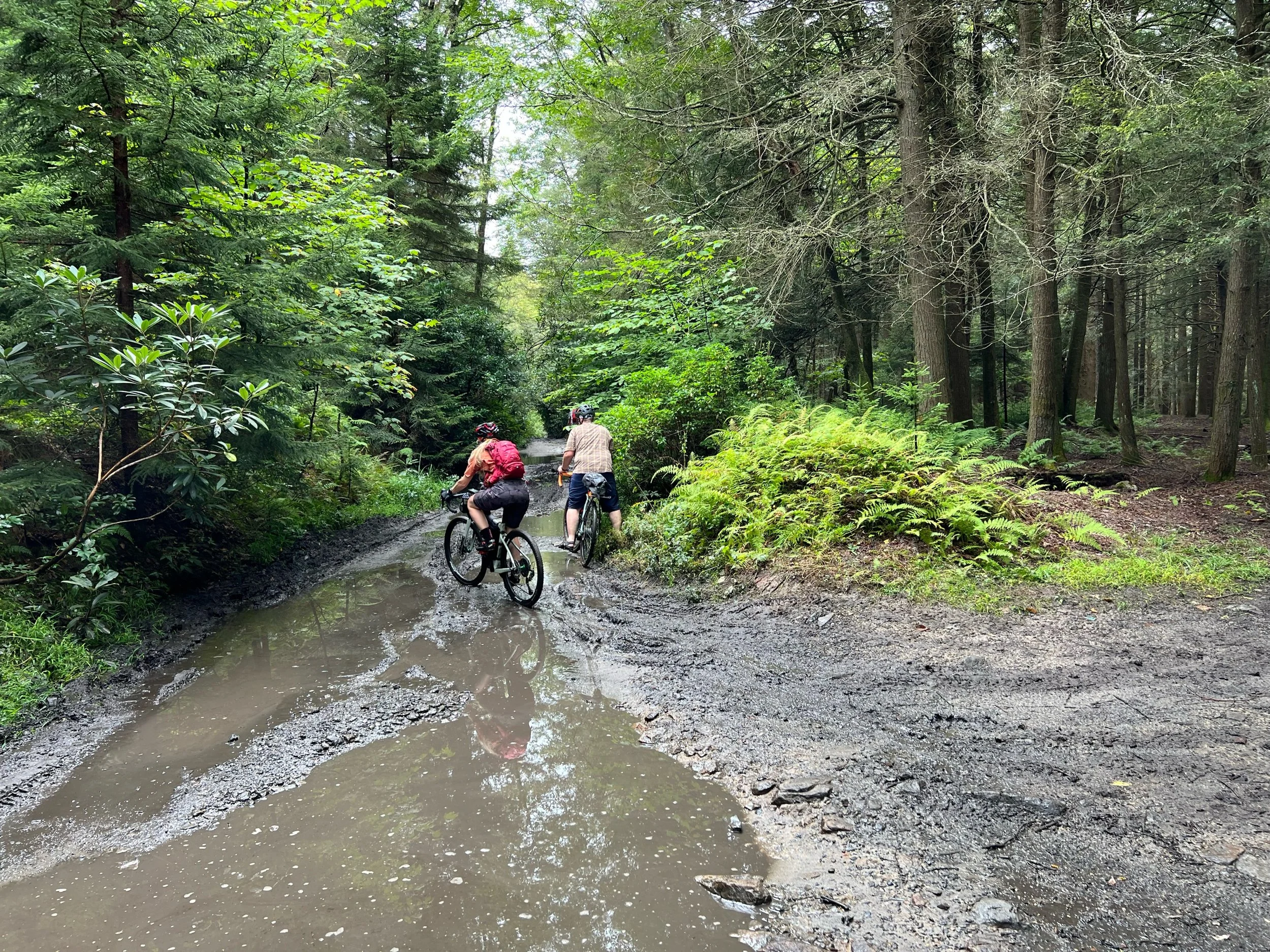


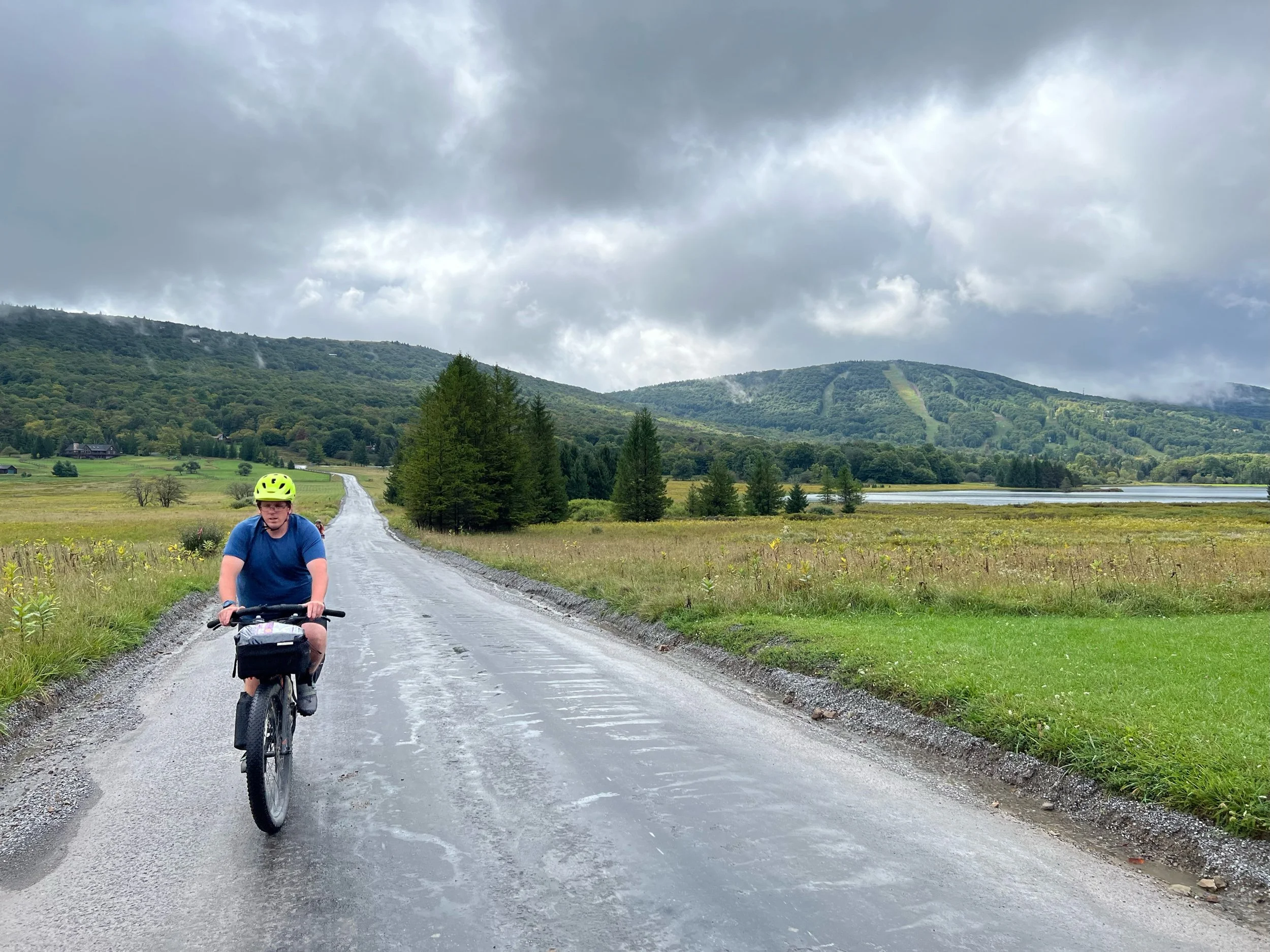
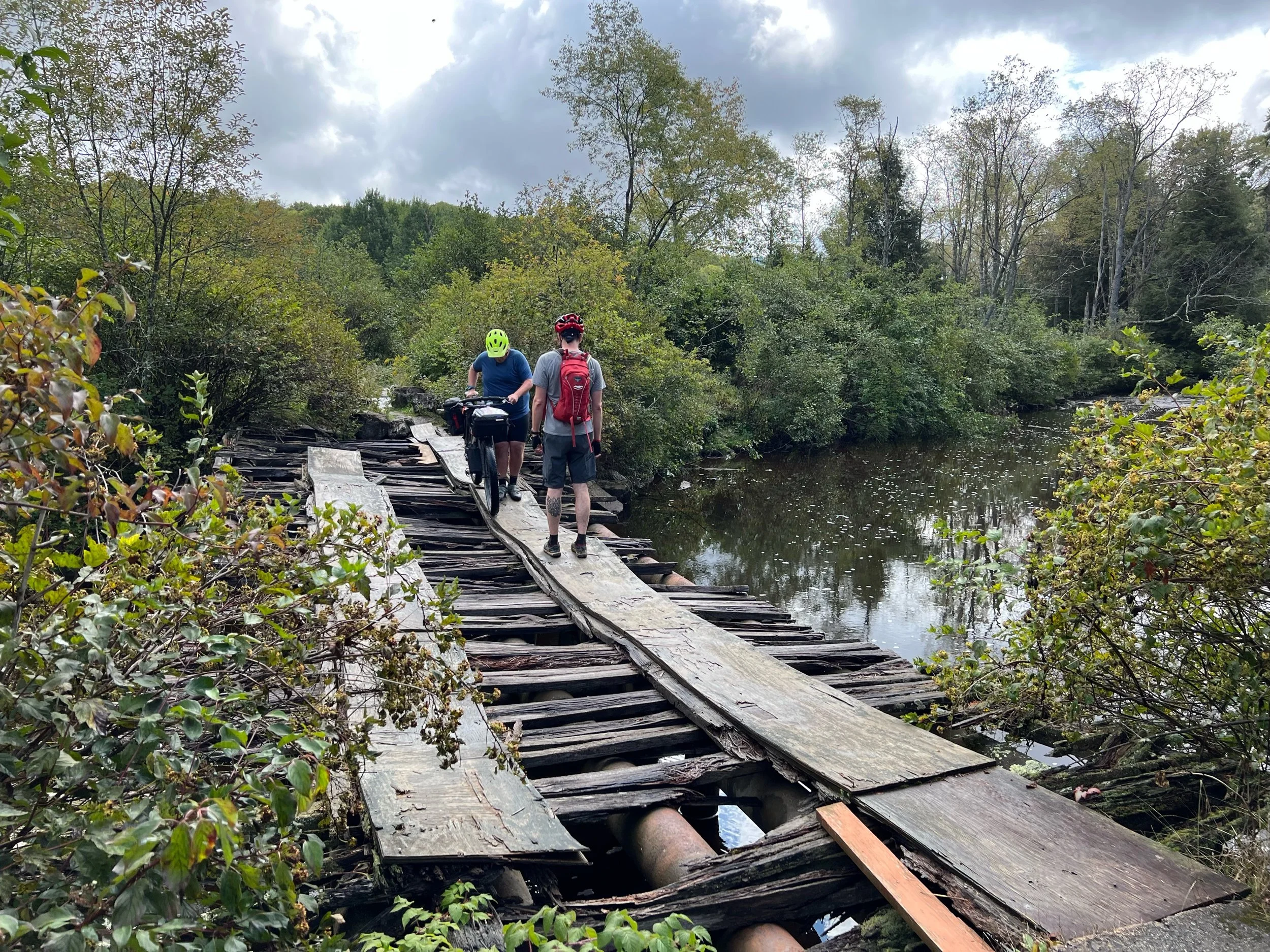
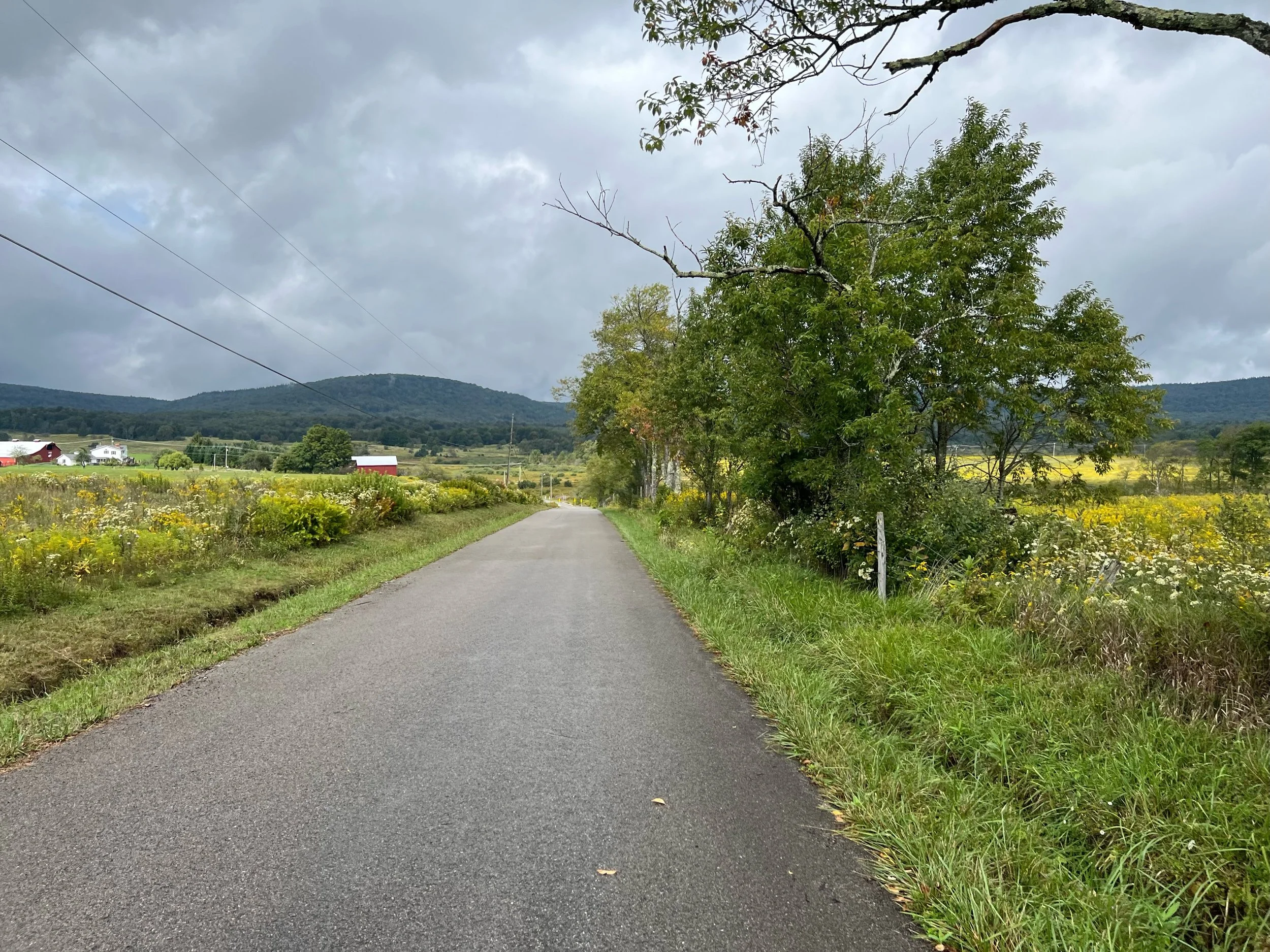
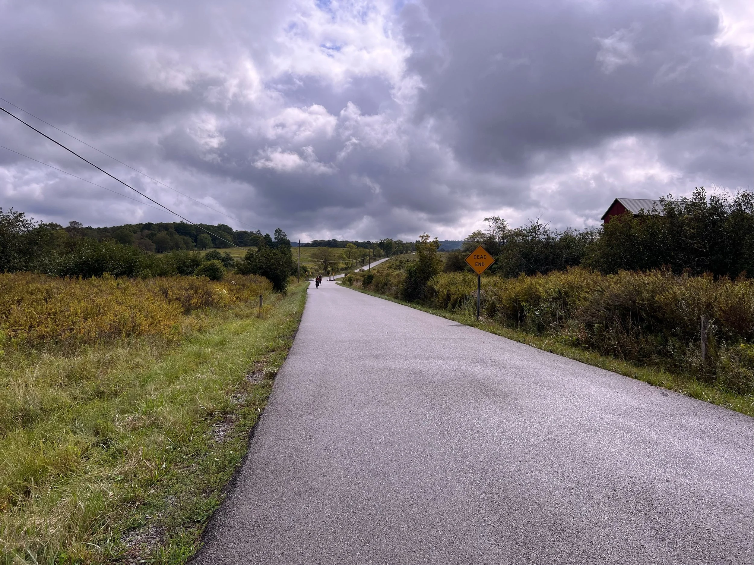
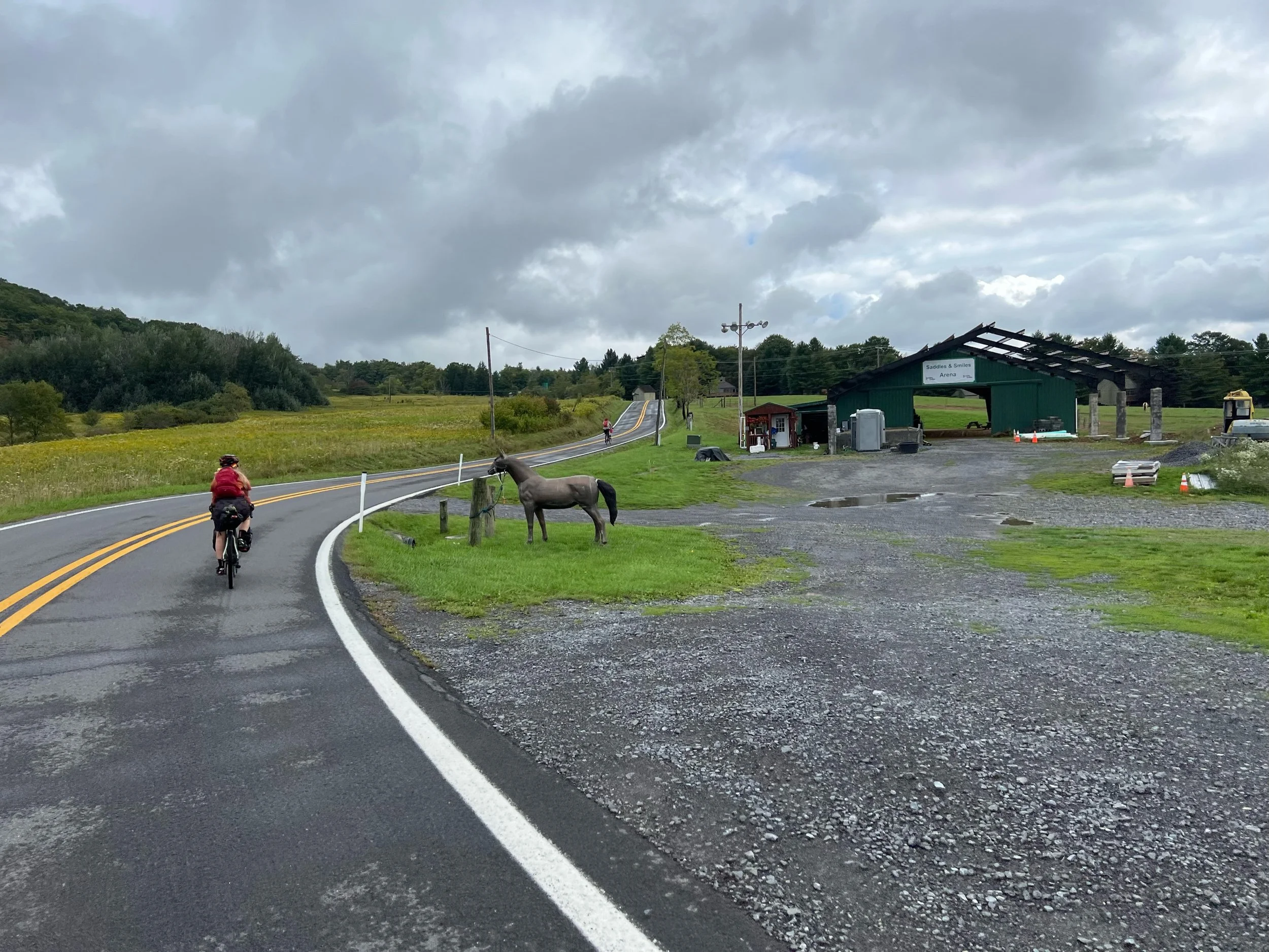
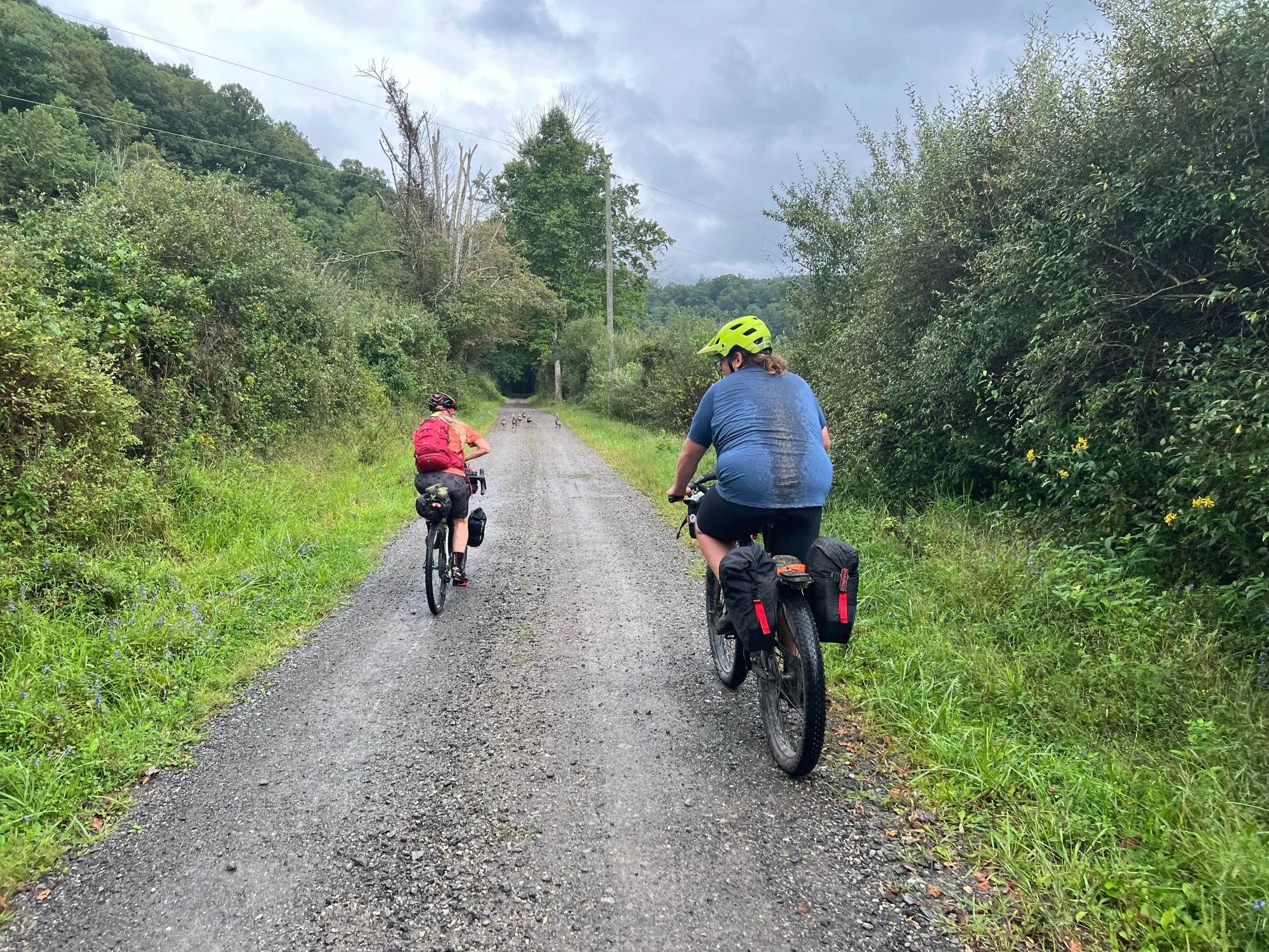
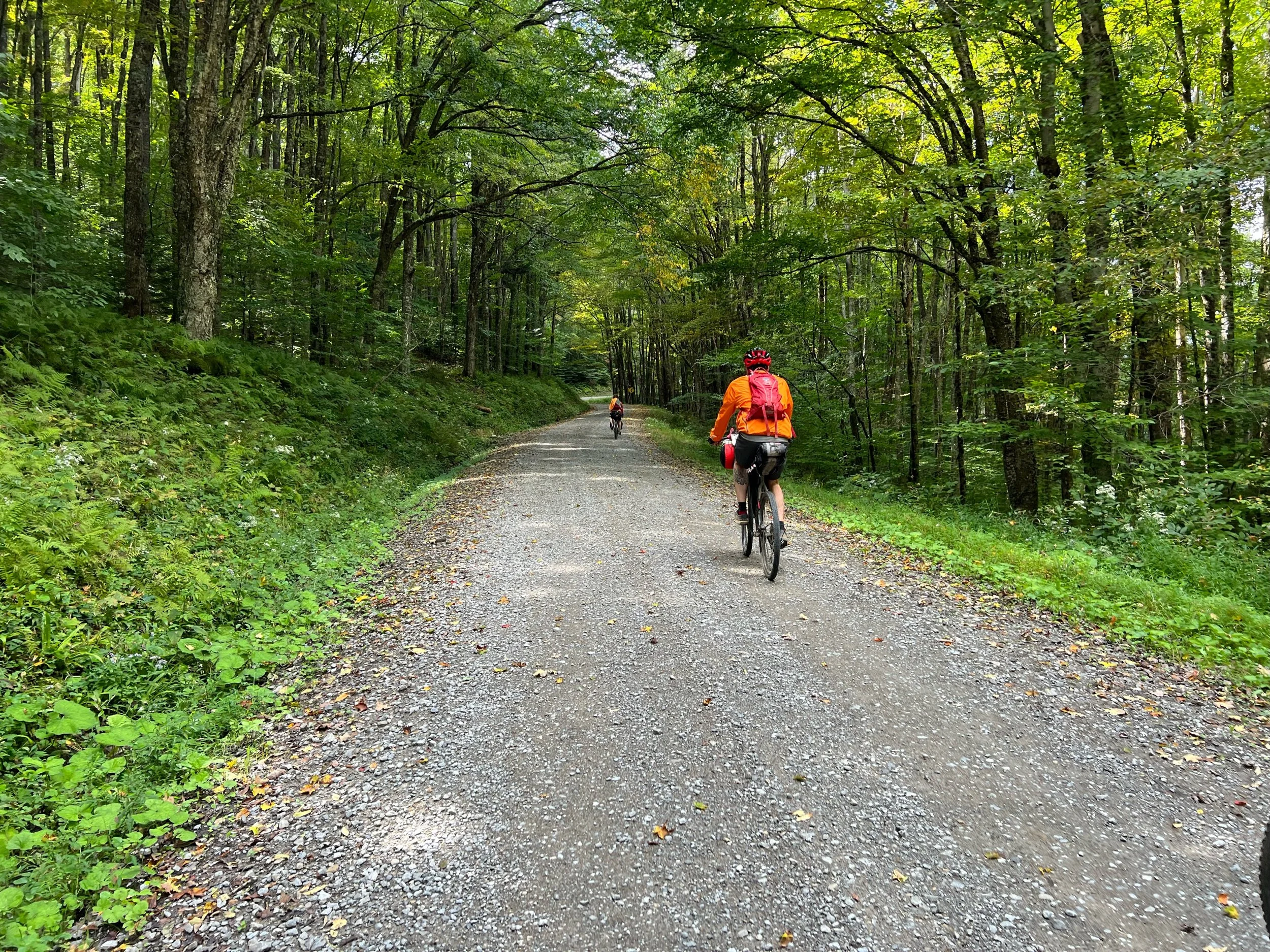
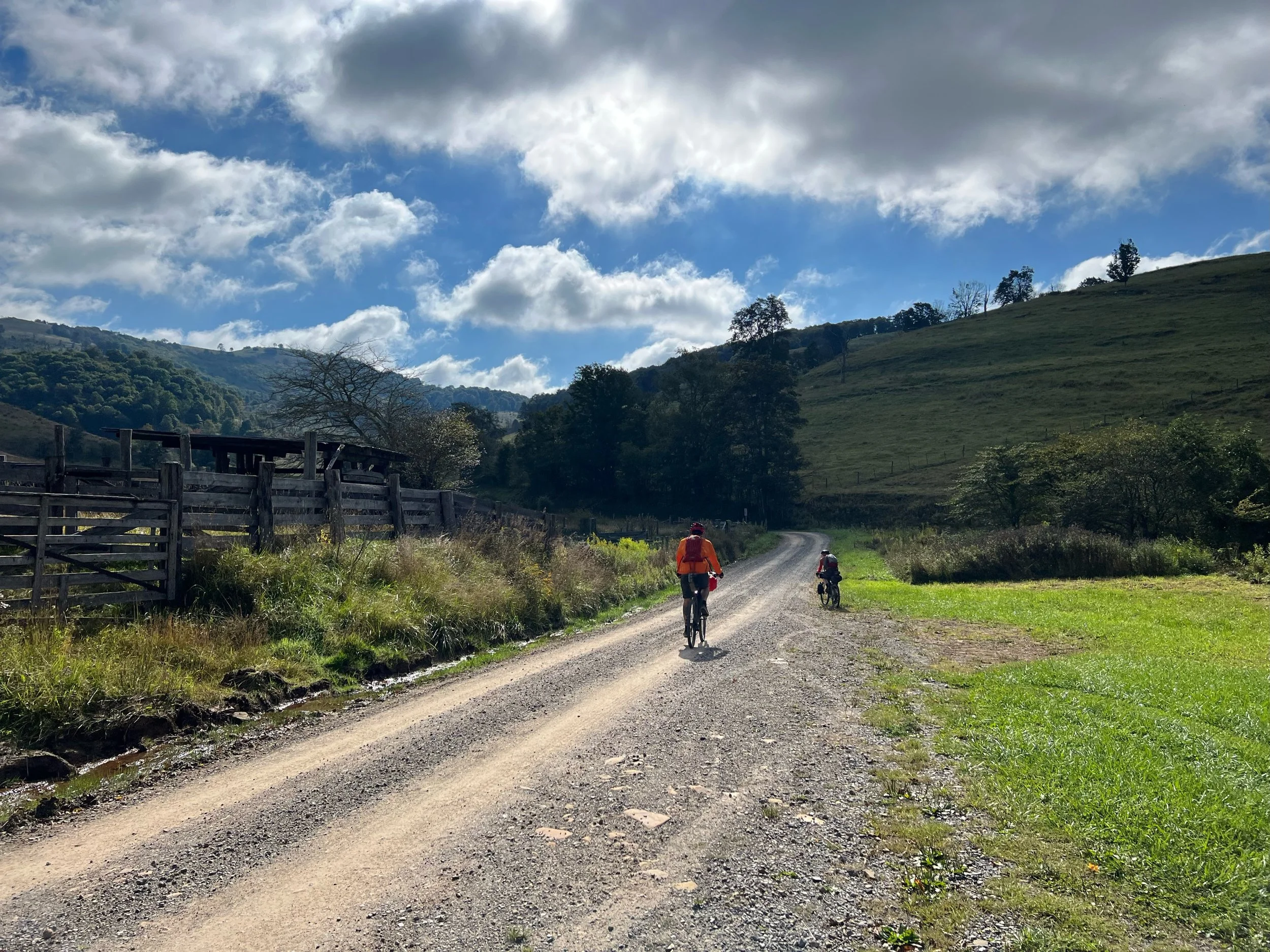
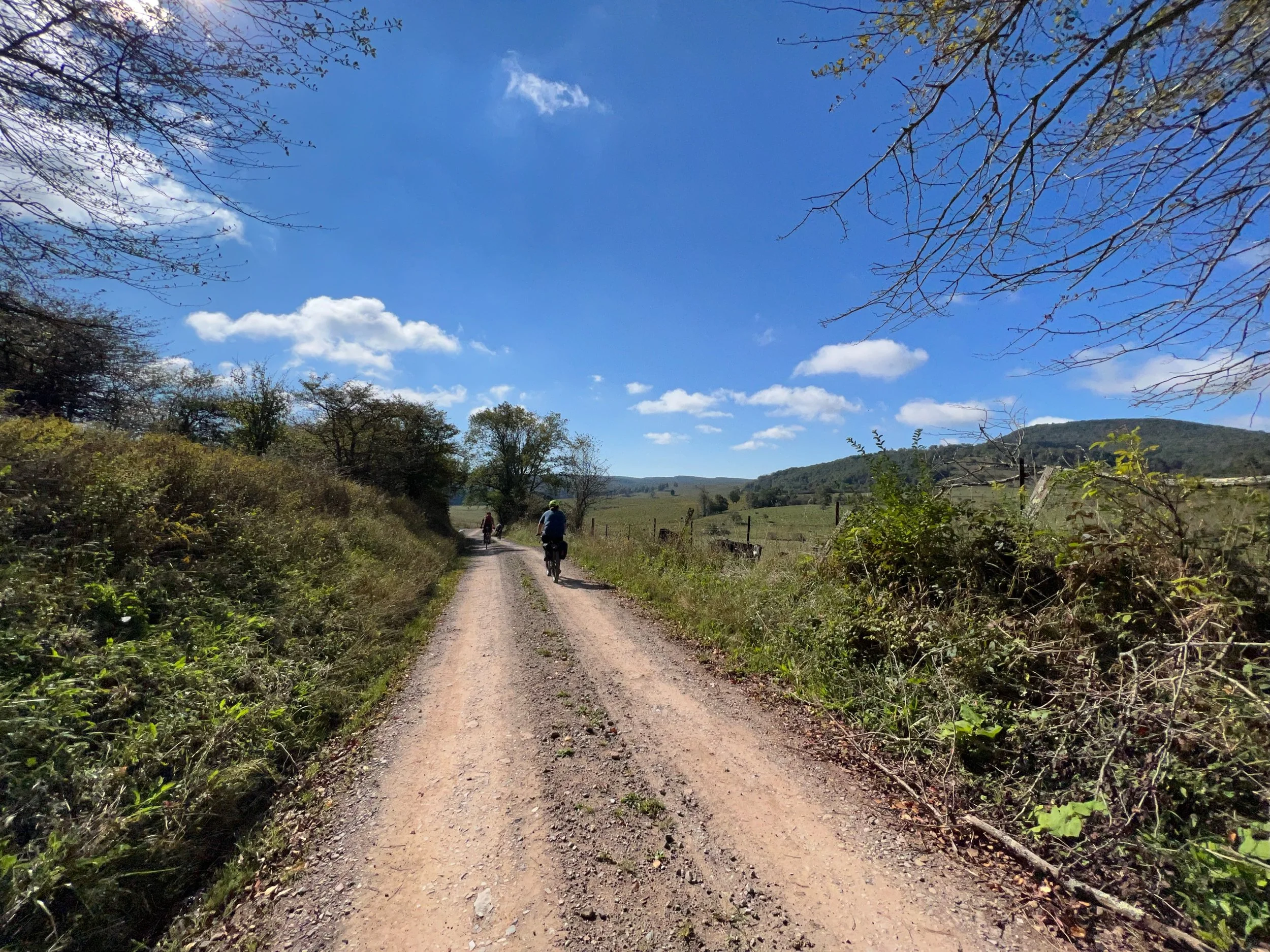
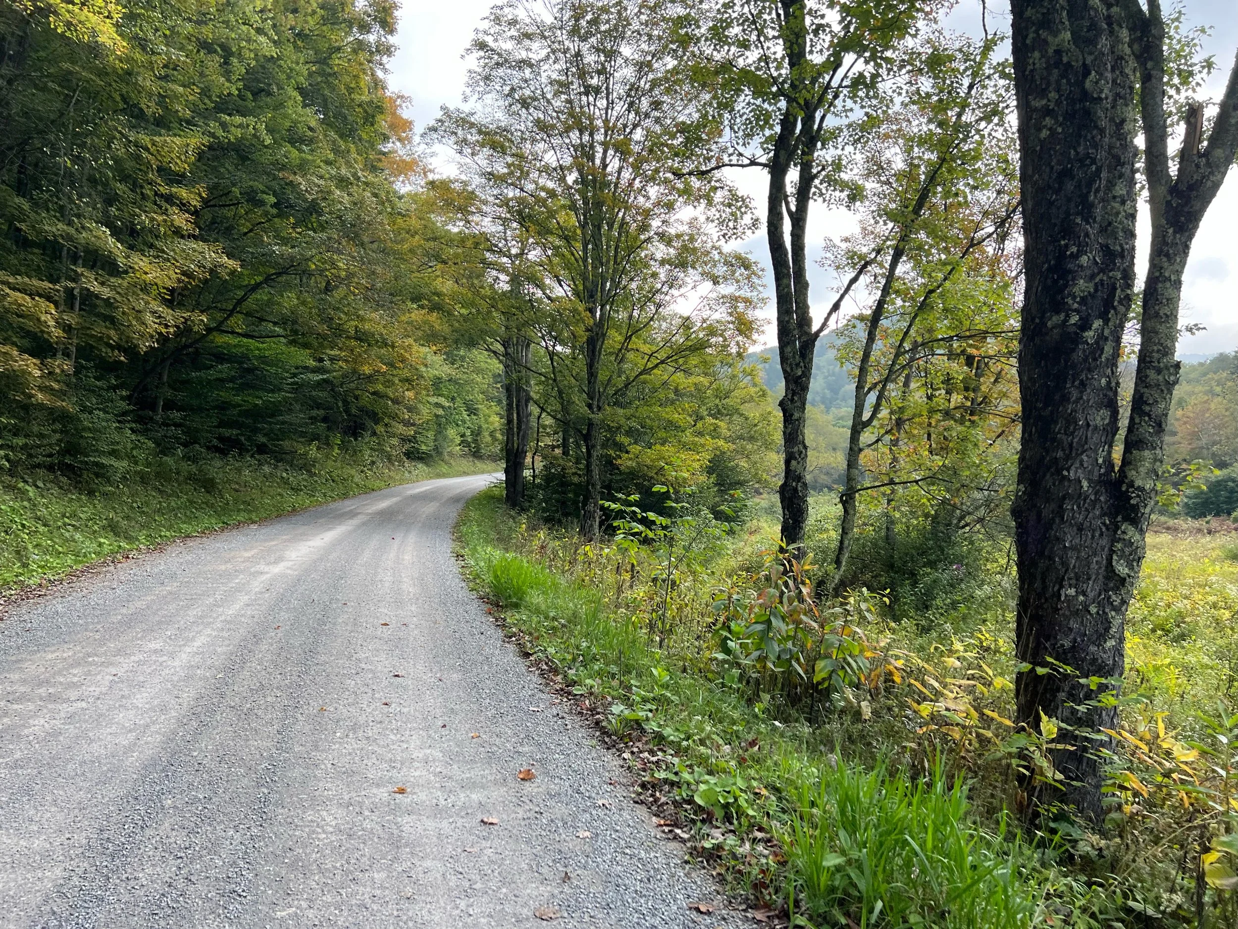
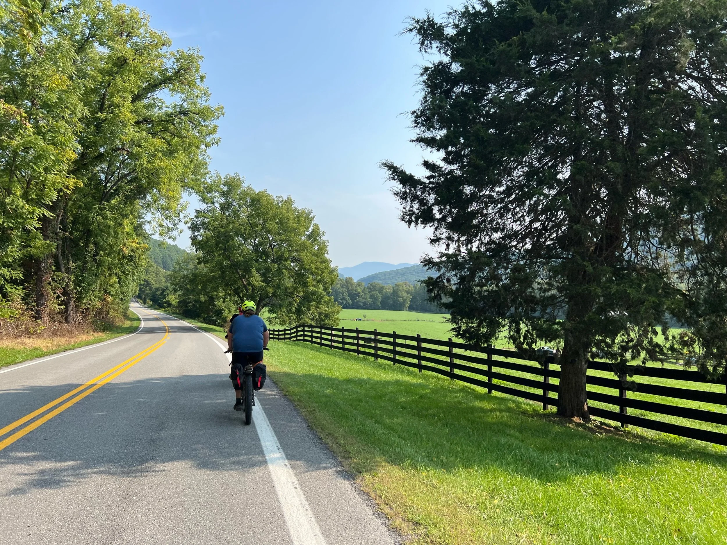
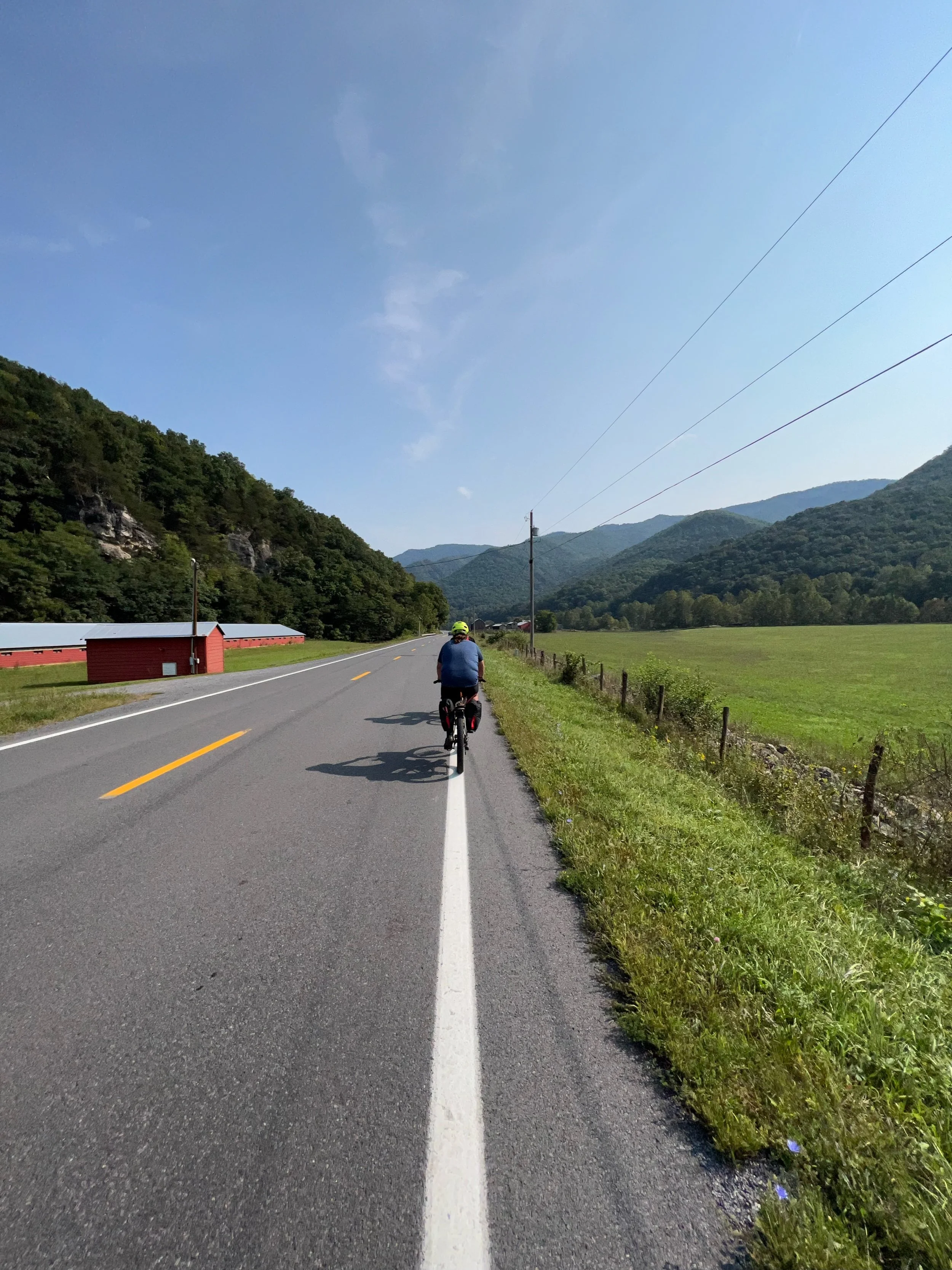
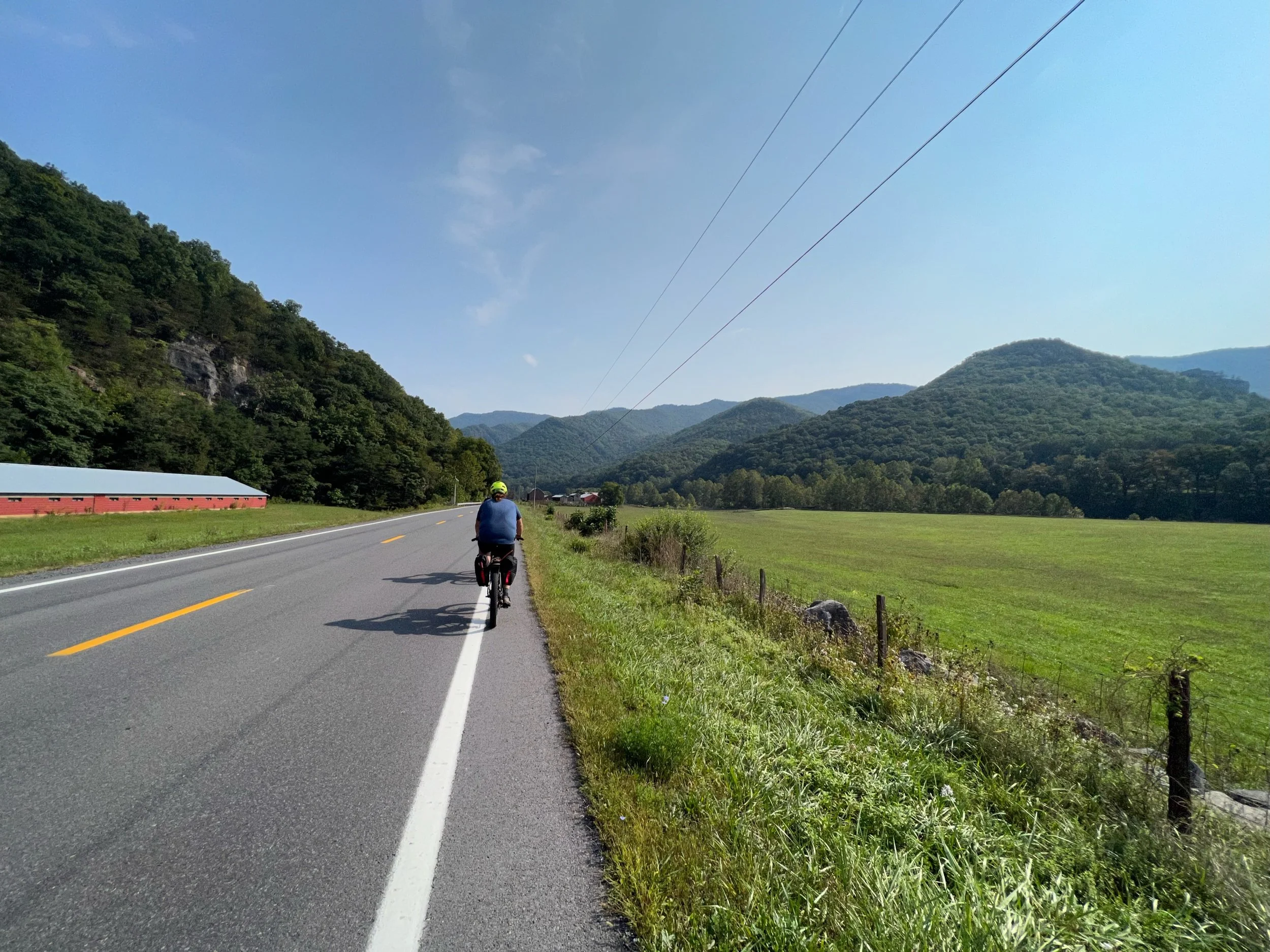
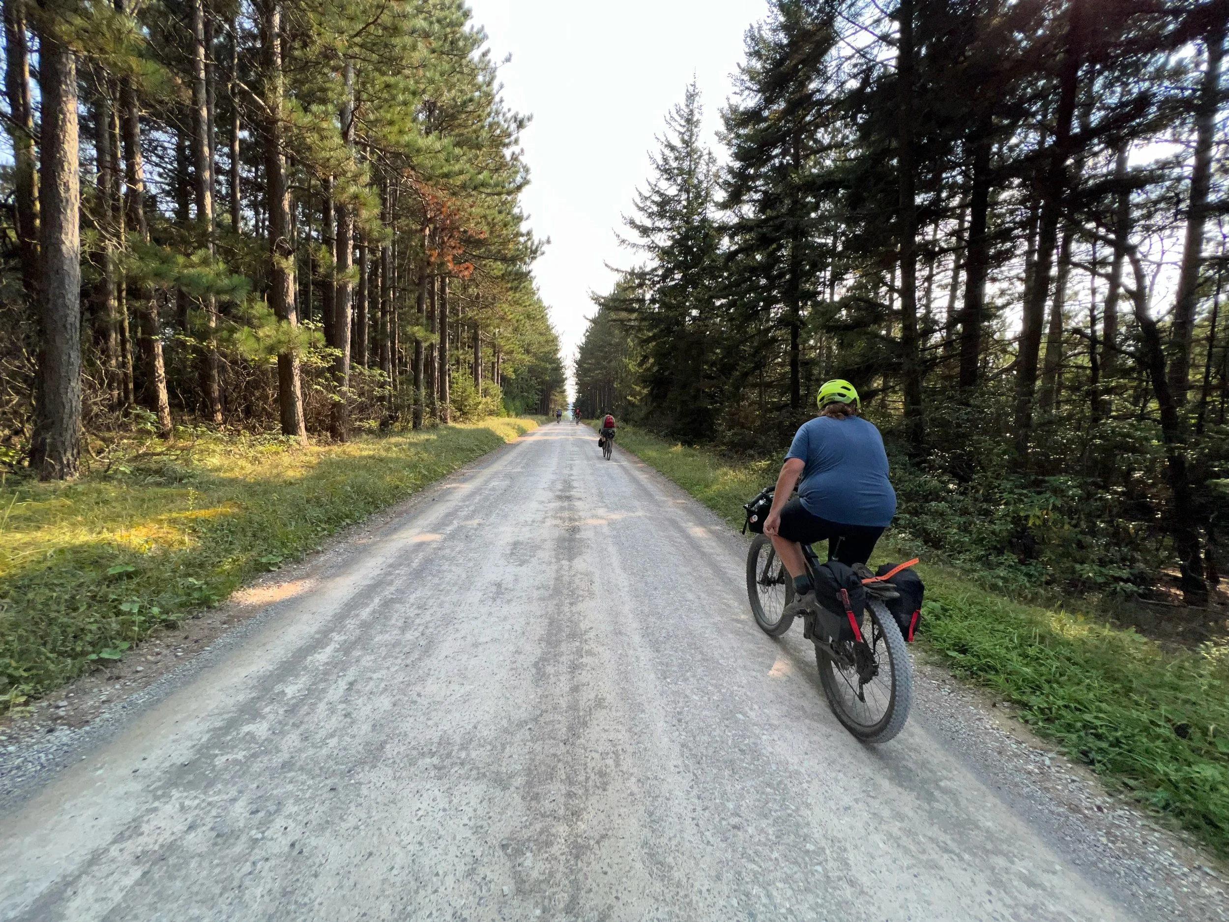
Canaan Valley to Stuart Recreation Area
Highlights
Rainy to mid-morning
Canaan Valley launch from private residence
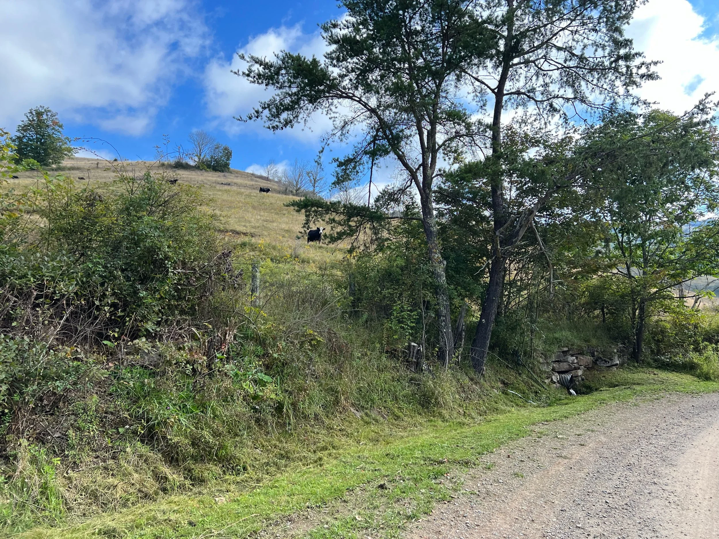
Canaan National Wildlife Refuge
Upper Canaan Loop Road
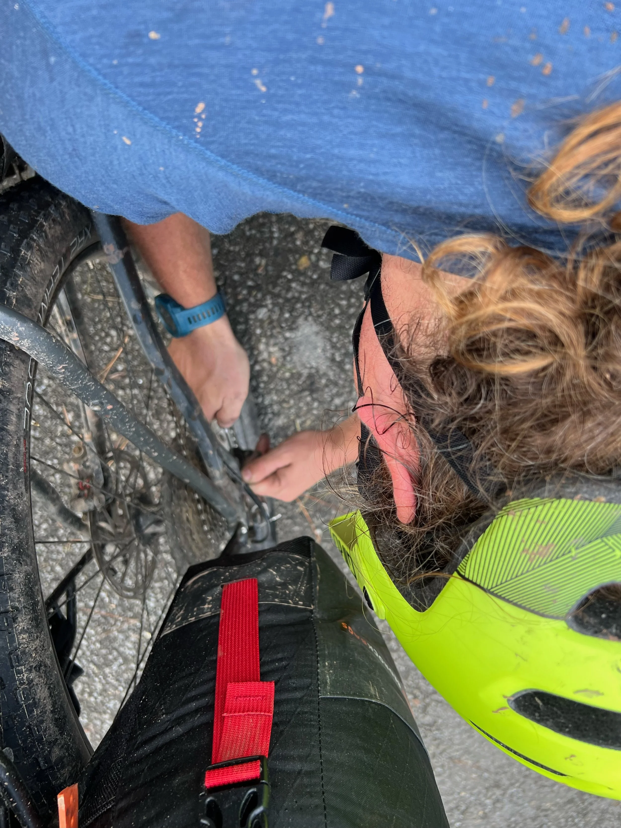
Peters rear pannier strap was pulled into the cassette
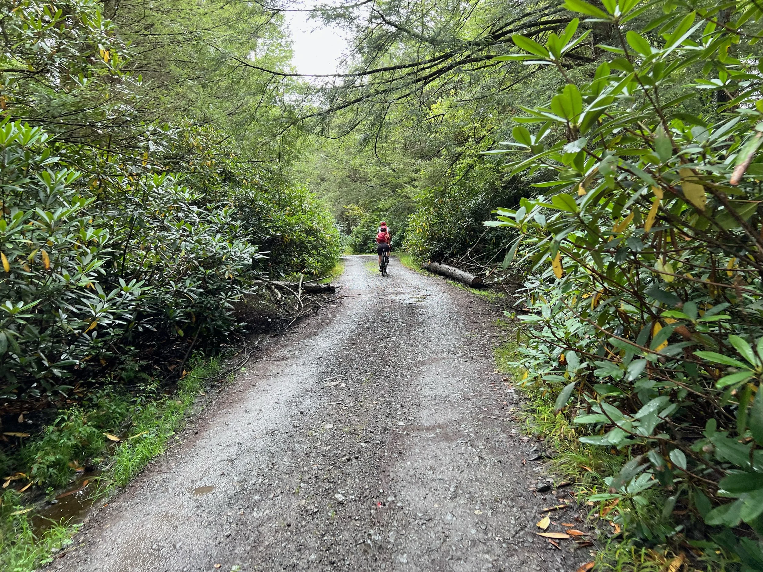
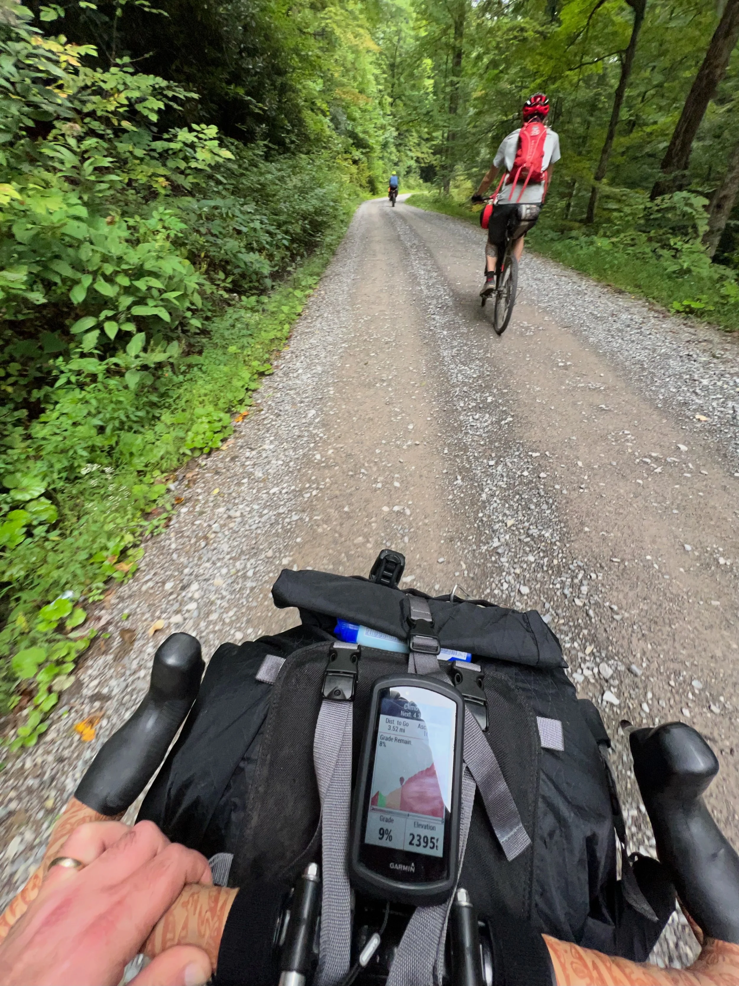
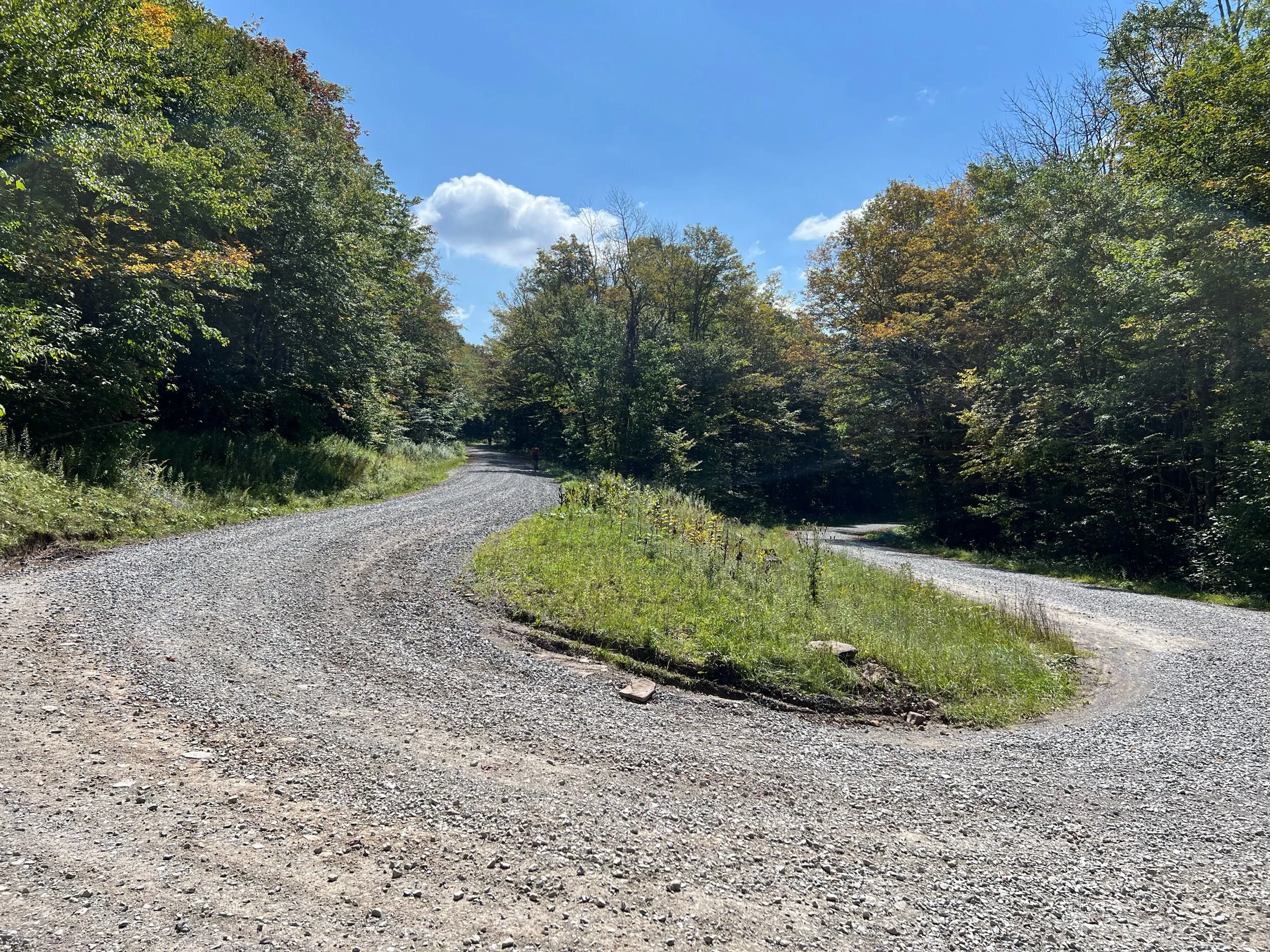
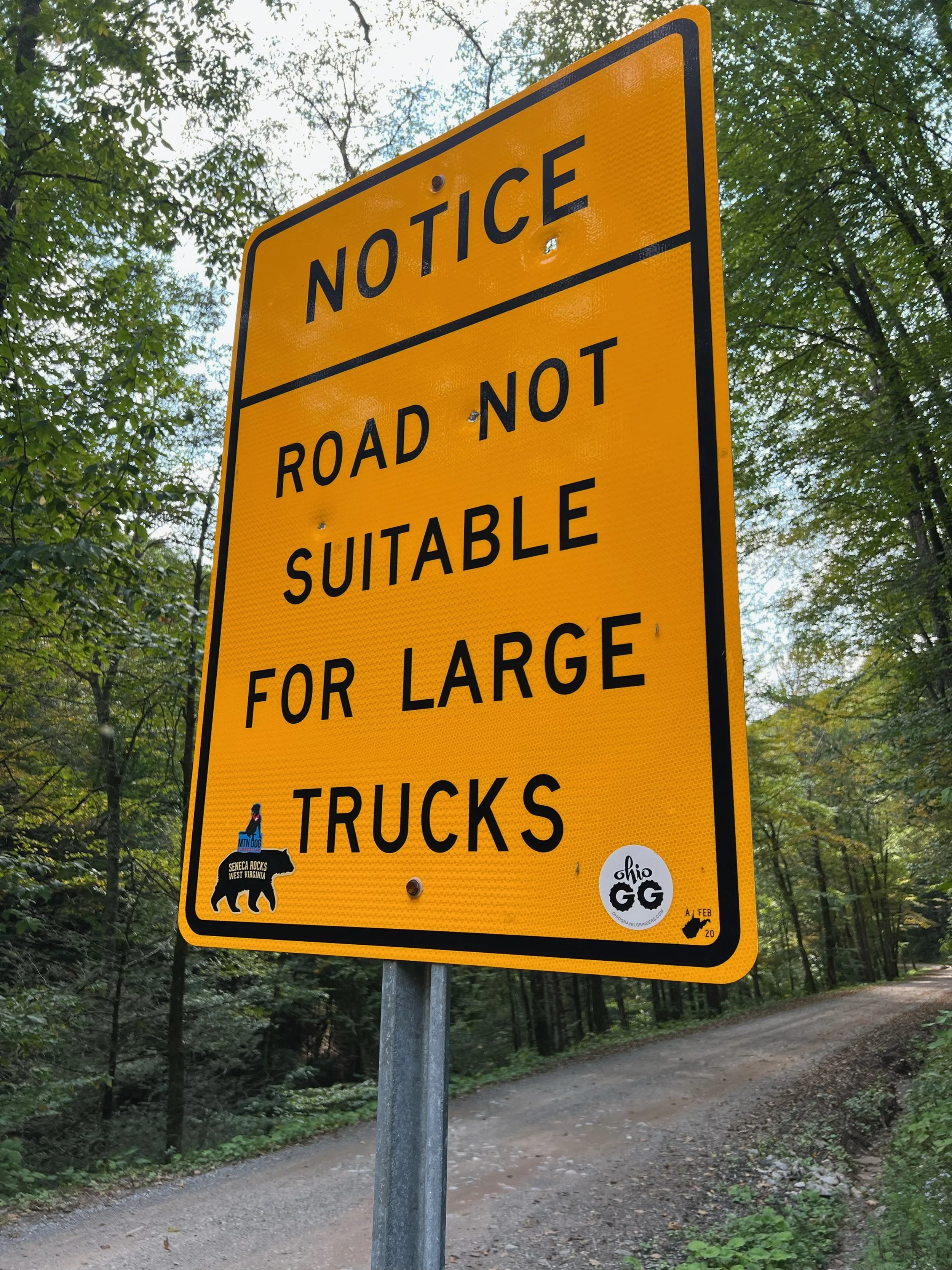
Forest Road 244
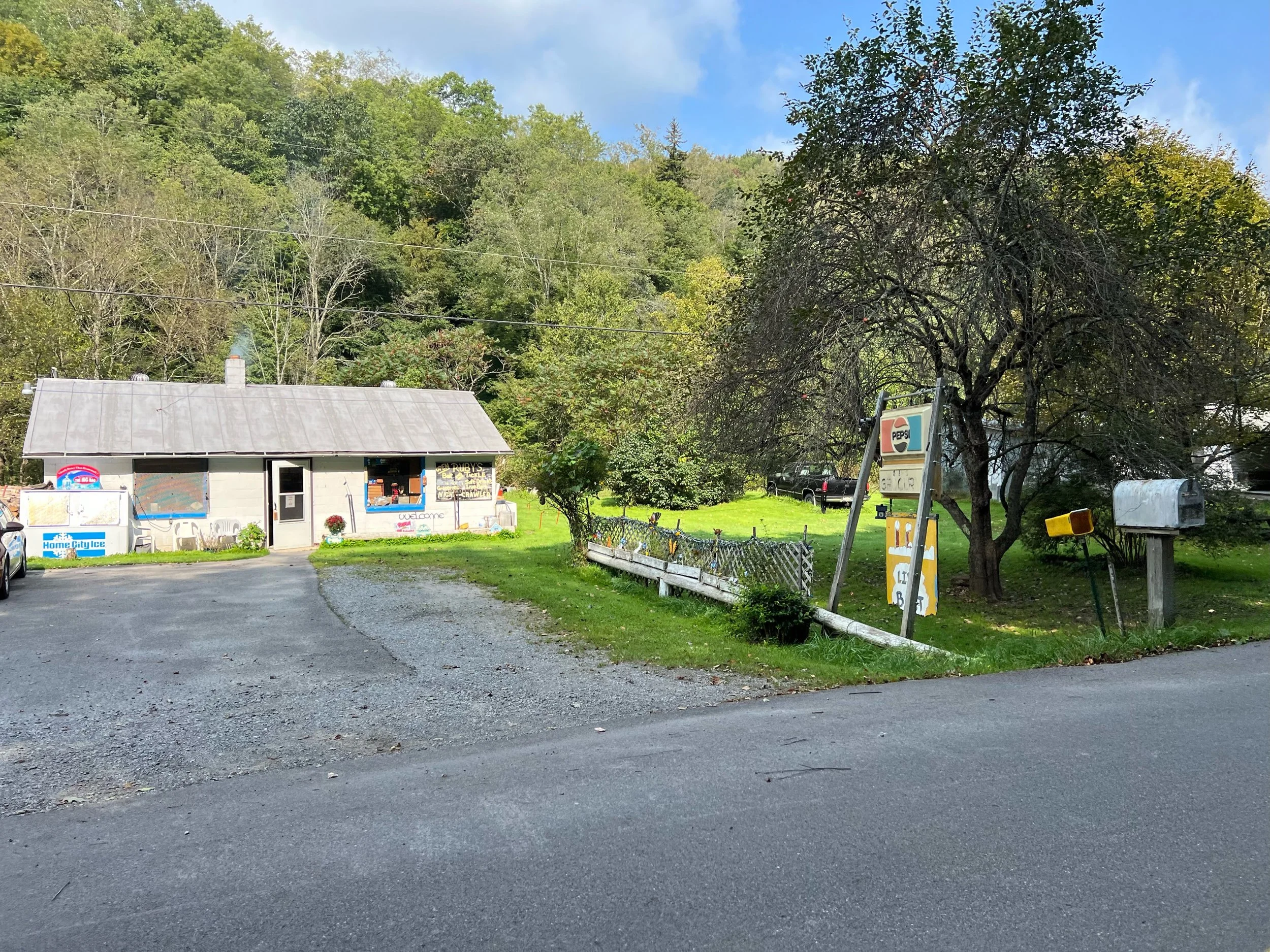
Parsons lunch stop - Shop N Save
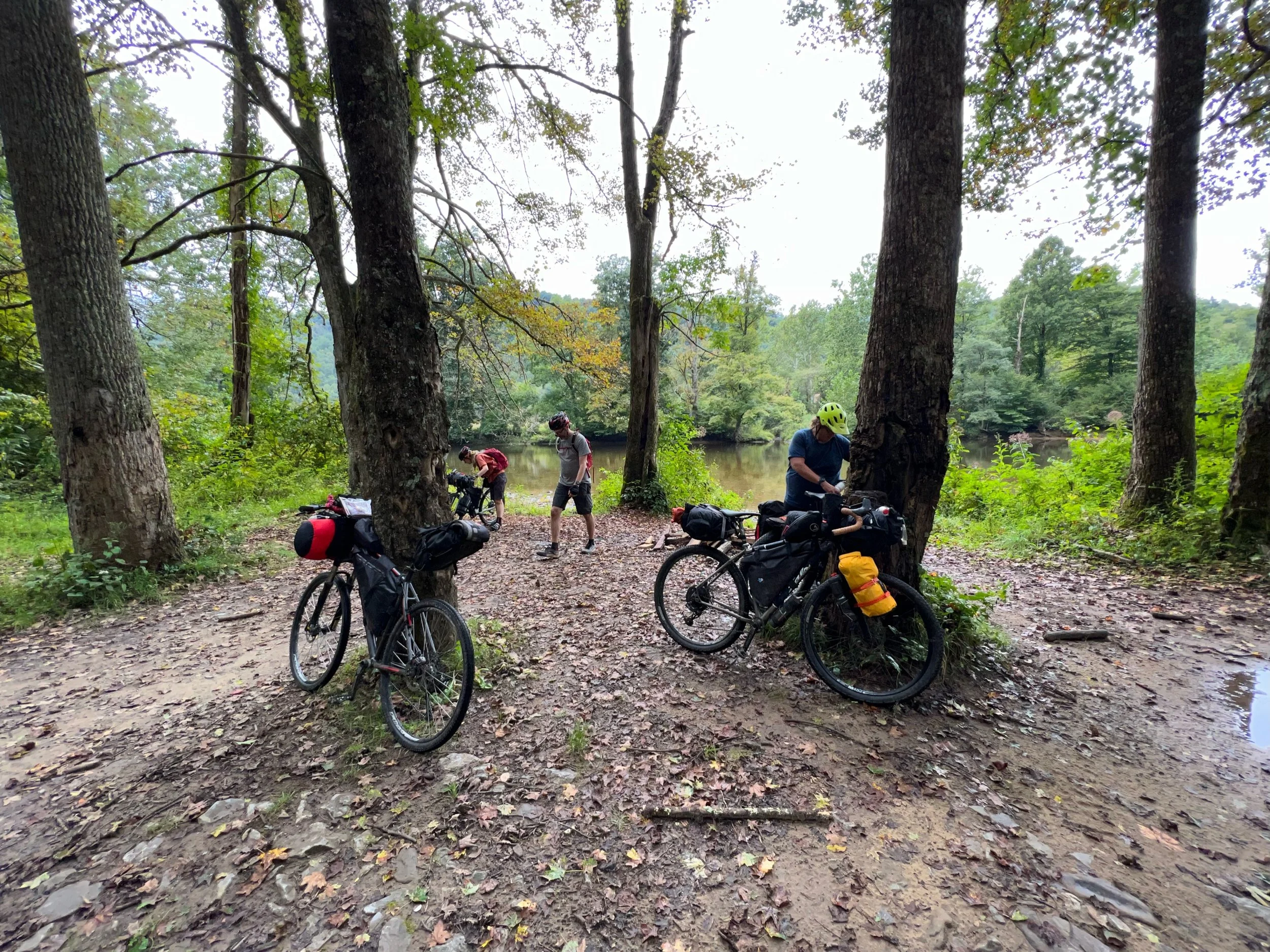
Shavers Fork
Nick’s bike started experiencing shifting issues which lasted throughout the trip
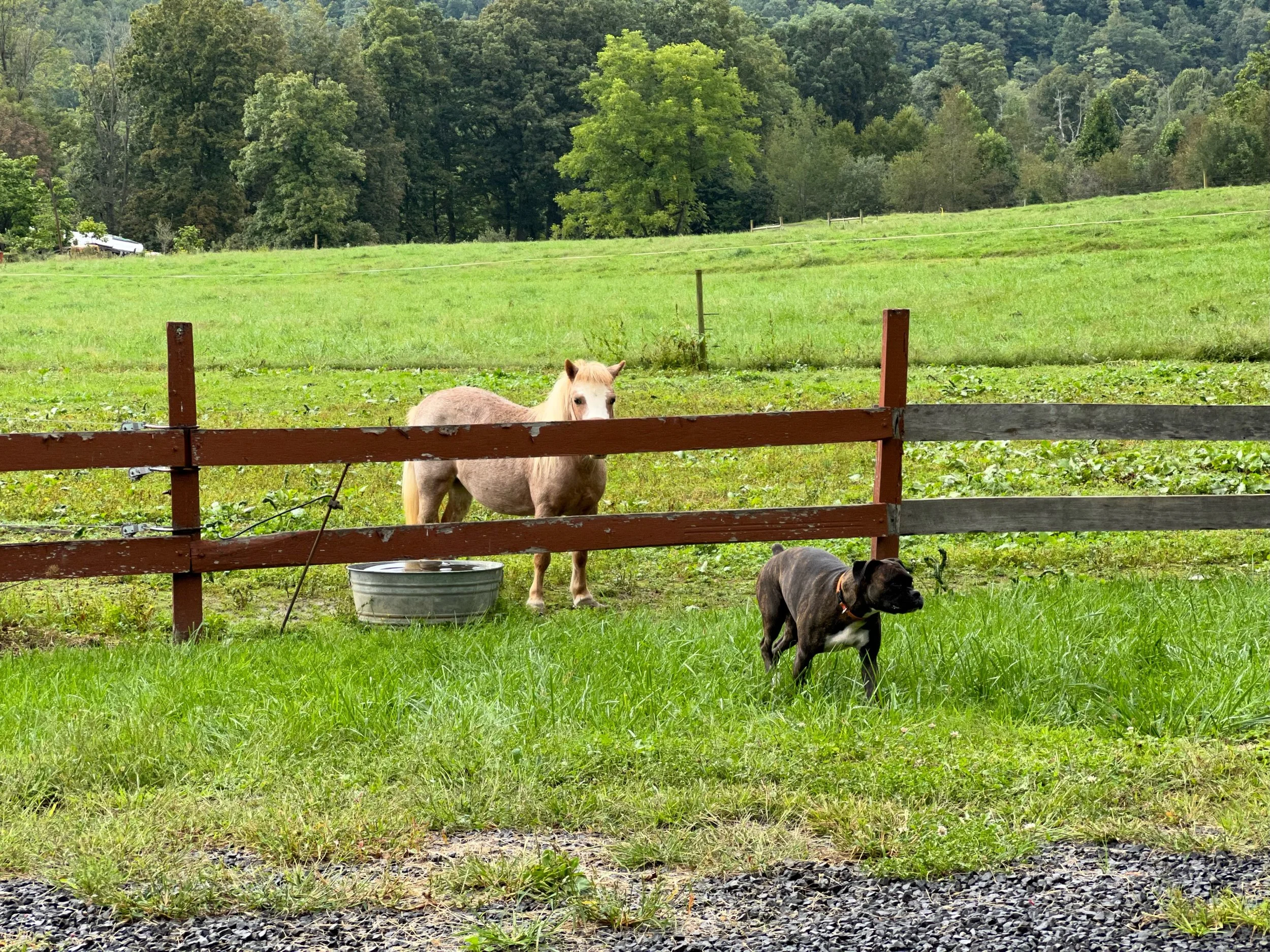
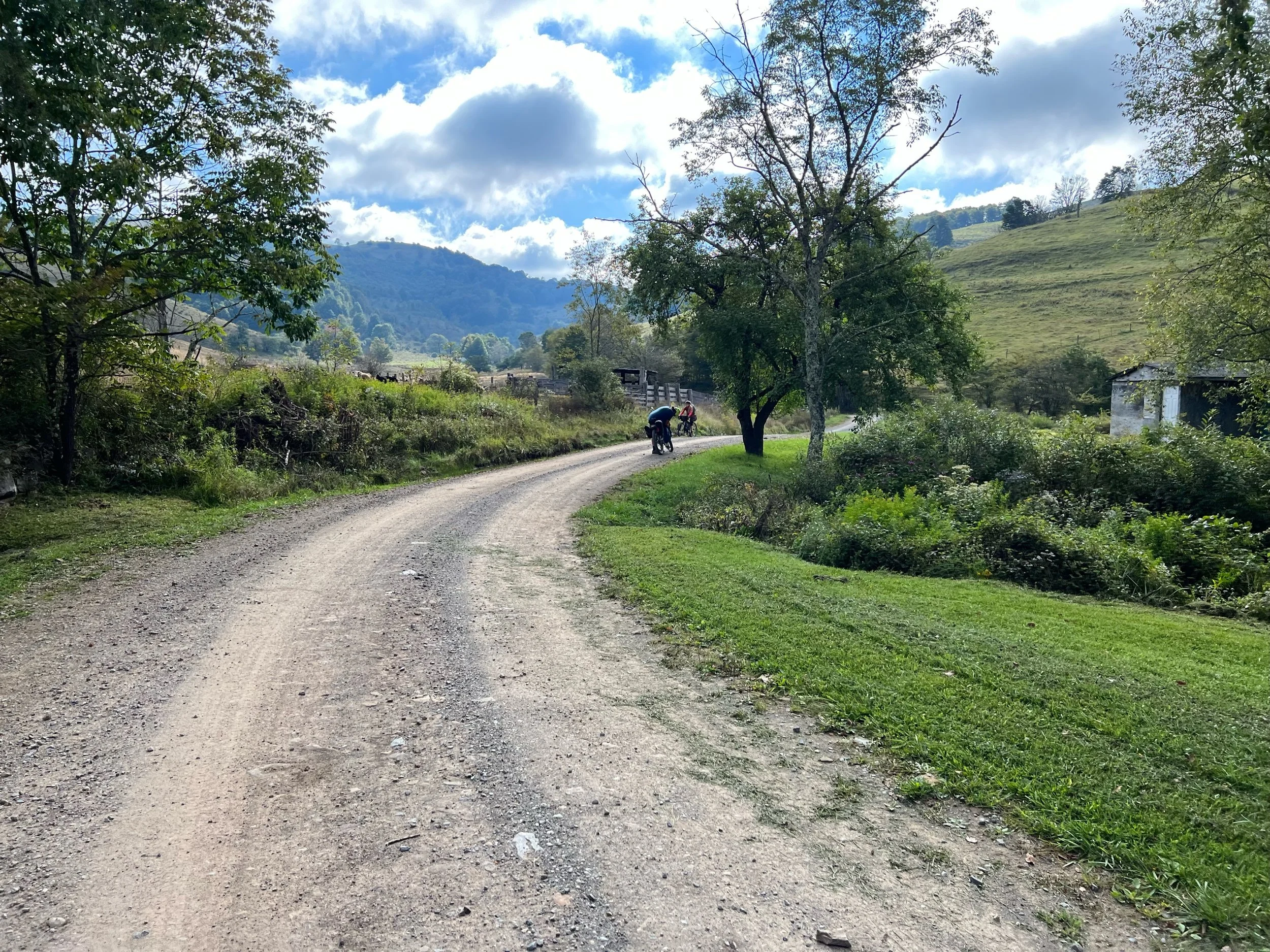
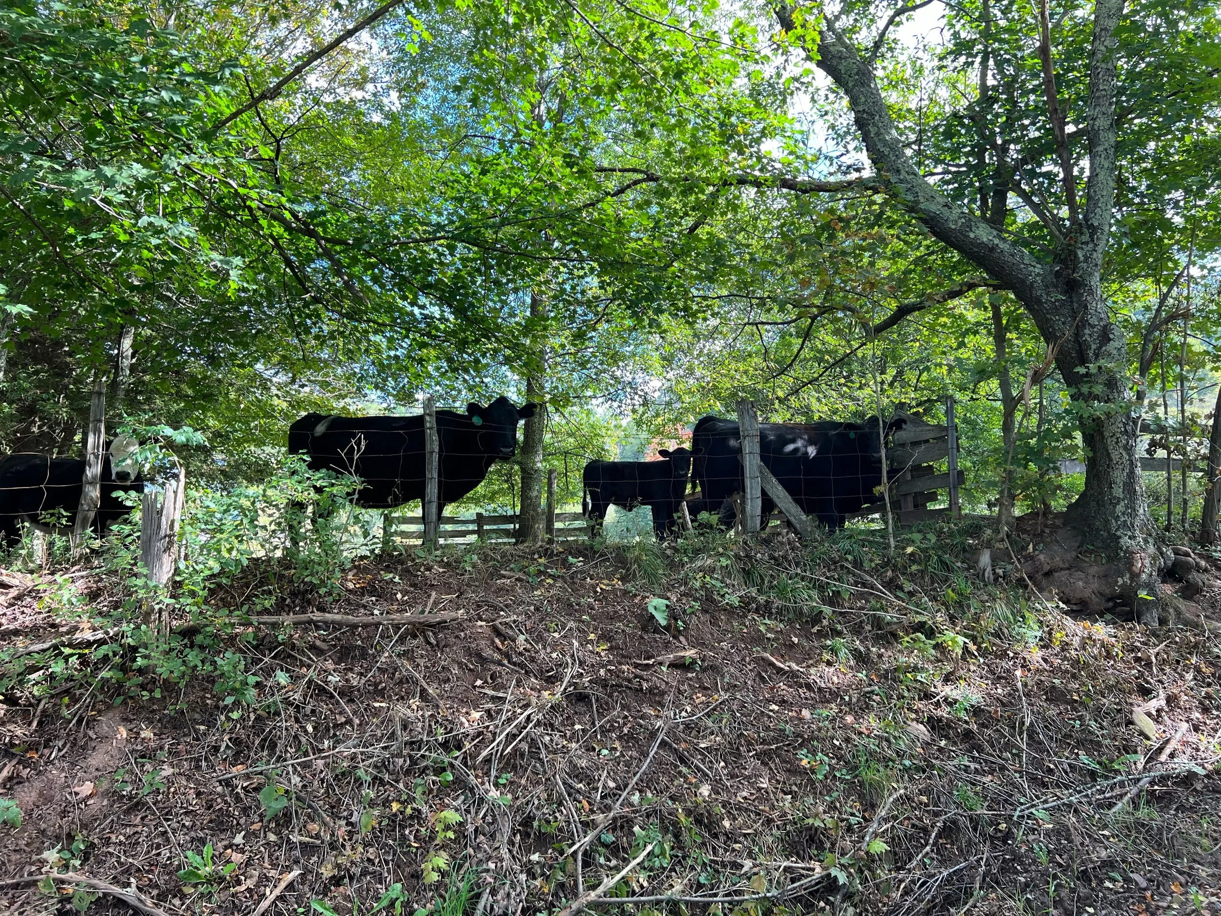
A farmer allowed us to take refuge in his barn during a rain shower . We met Bella and Butterscotch the horse
Stuart Recreation Area end - see the “GS1 Incident”
Butterscotch the horse and Bella
The “GS1 Incident”
My mistake #1: When I booked the group site at Stuart Day Use Area and Campground I didn’t examine the Forest Service site much and jumped to Recreation.gov to make a reservation. The GS1 group site on the Recreation.gov map was near Shavers Fork (see below) which is a good distance from the main campground. My mistake #2: I didn’t check in with the camp host. After a long day on the bike we rolled into the campground and dropped down to the river only to search in vain for a site that ultimately doesn’t exist.
After a terse discussion with a camp host at the bottom of the hill I headed back up toward the main campground. I am not sure why a camp host spot exists at the bottom of the hill if there is no camping in lower area, but I digress. My mistake #3: I tried to show Nick the map from the website on the climb out of the valley and ended up bumping into his handlebars. It’s not the best time to try to prove you are right when everyone is tired and wants to get off the bike.
At the top of the climb I showed the camp maintenance man the map and he said that it is incorrect and he didn’t understand why the group site is listed at that location since it was abandoned a while ago. The group site located over near Shavers Fork Road/6 wasn’t ready for us and they offered a couple of campsites in the main campground since it was mostly empty. So we took advantage of the offer and we were close to a water source and the shower house.
And thus, the “GS1 Incident” was born. I learned a lot of lessons from this situation.
Yep, nope. That’s not where GS1 is located. Don’t go there.

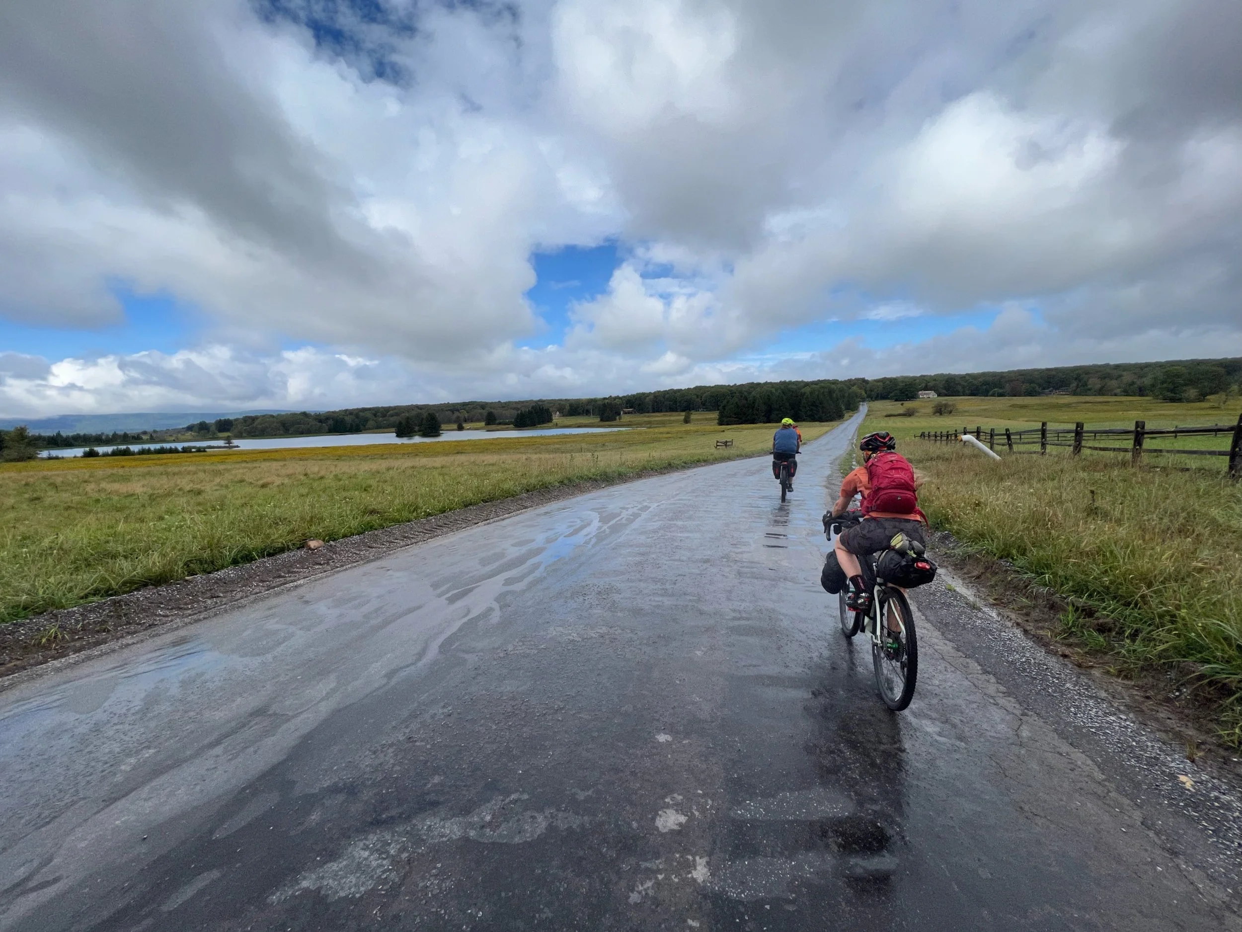
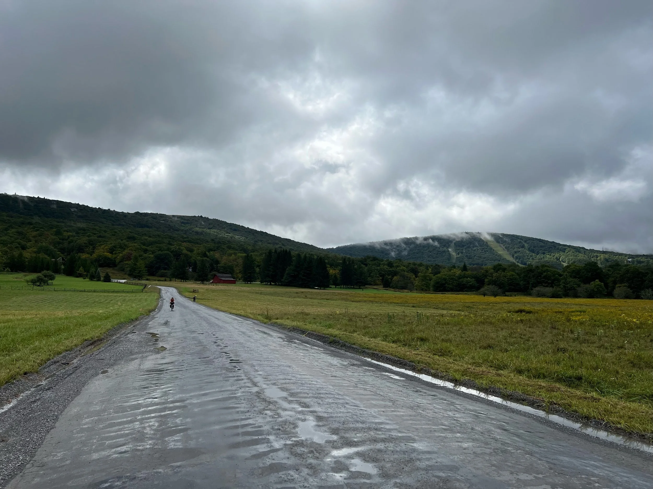
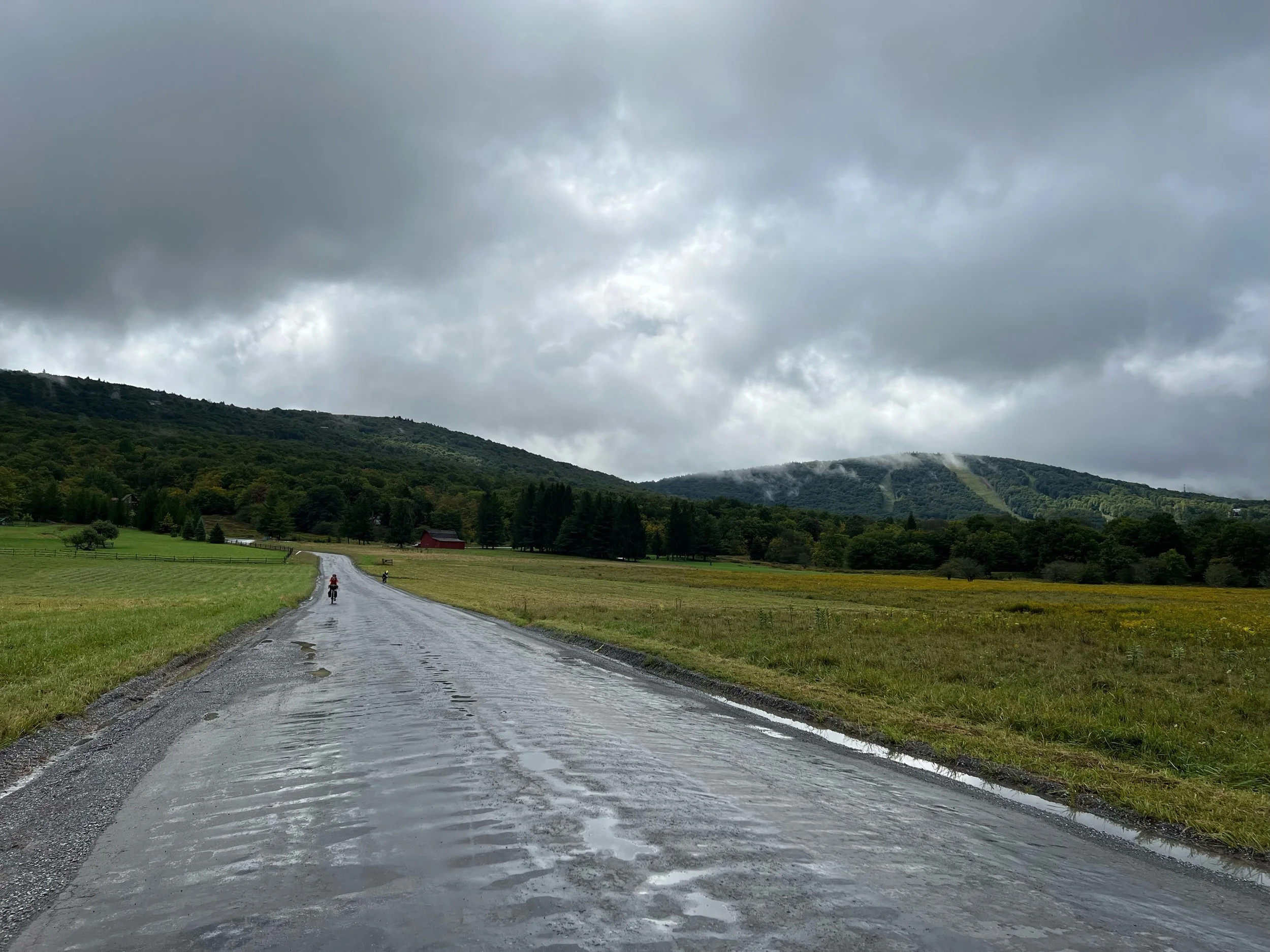


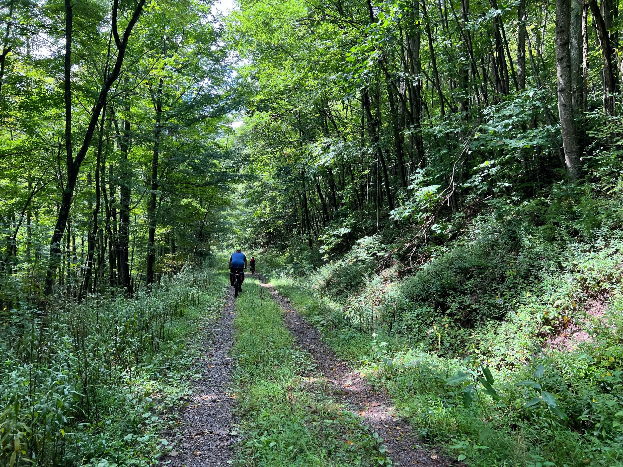


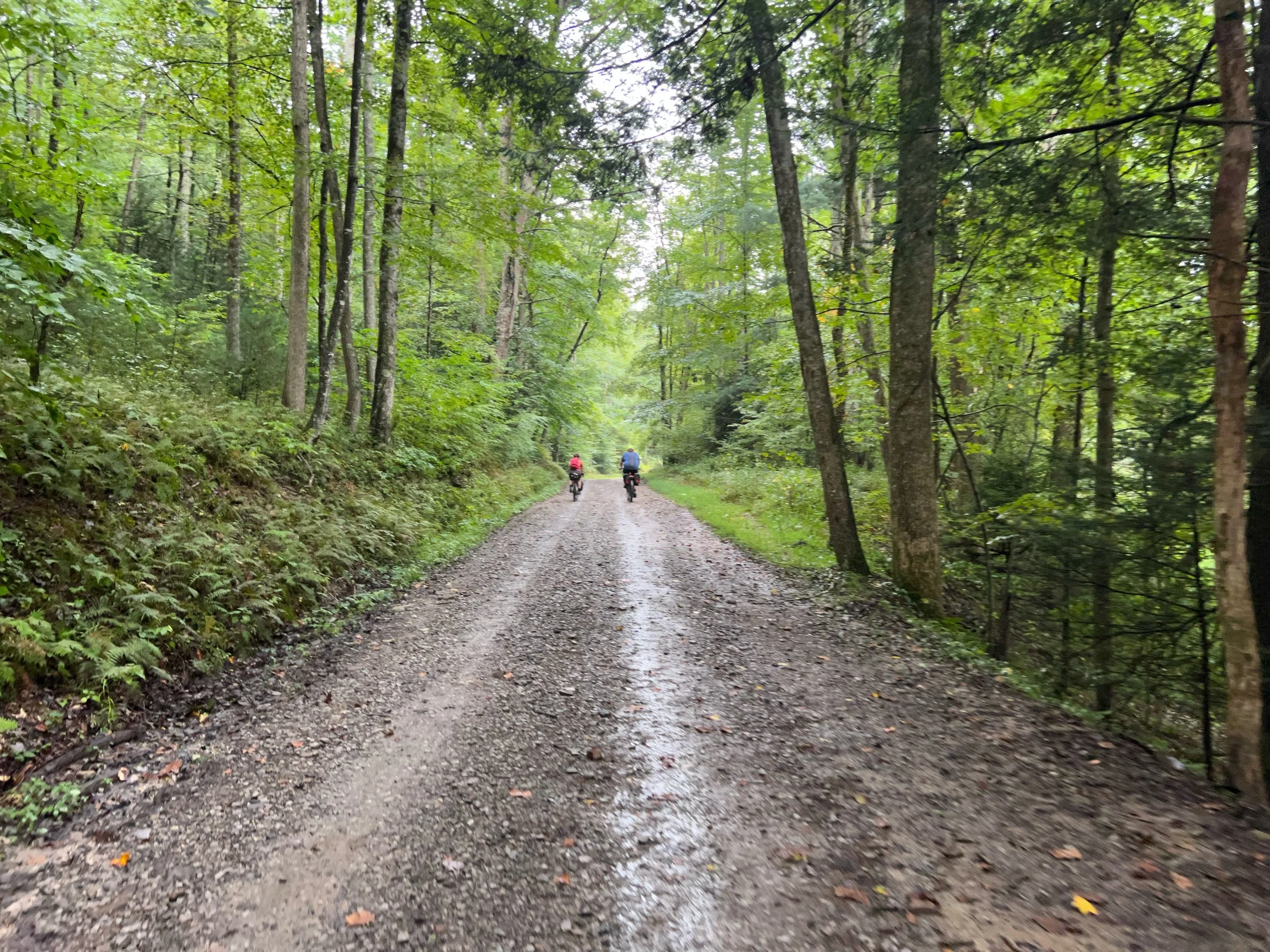
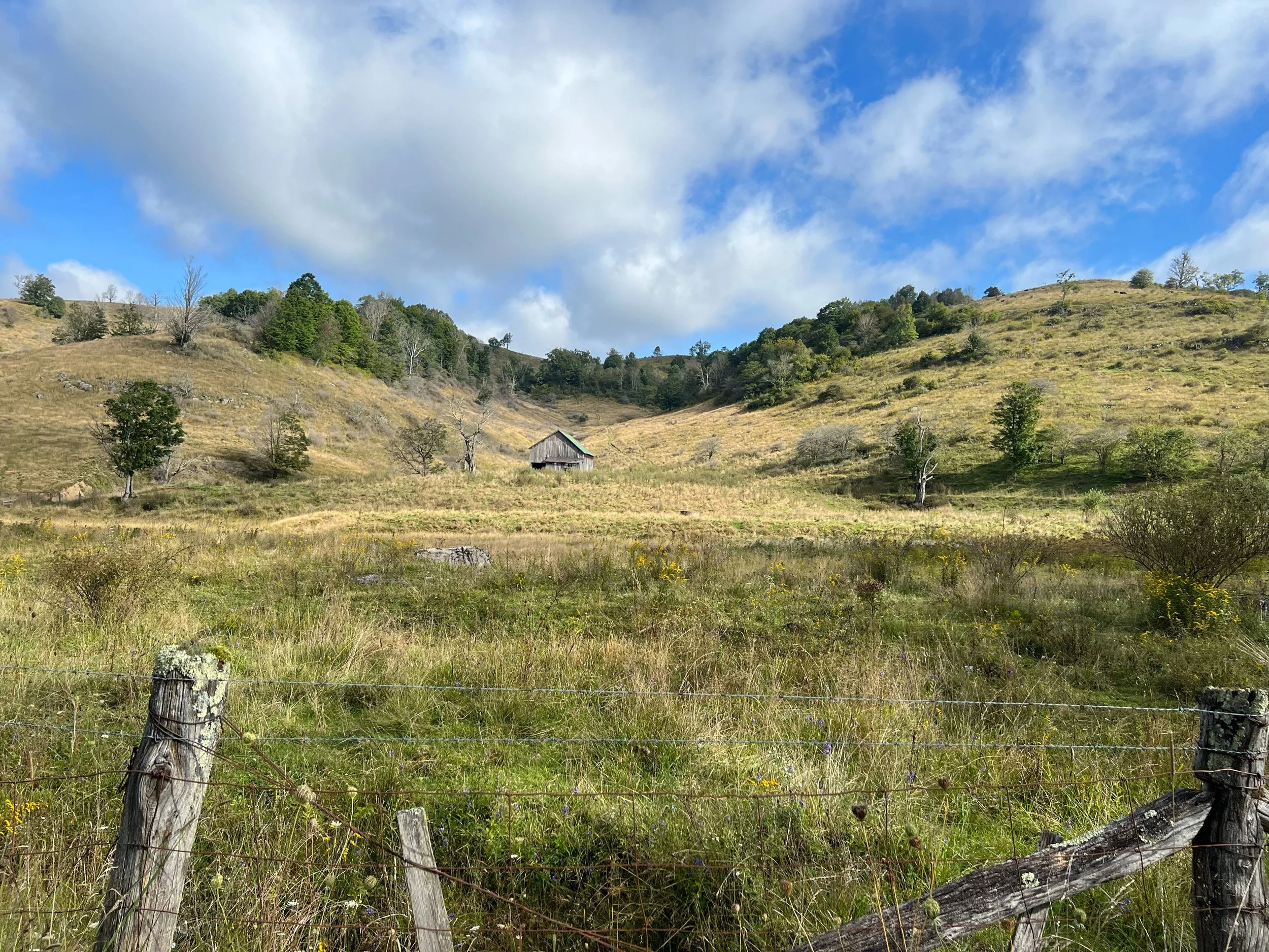
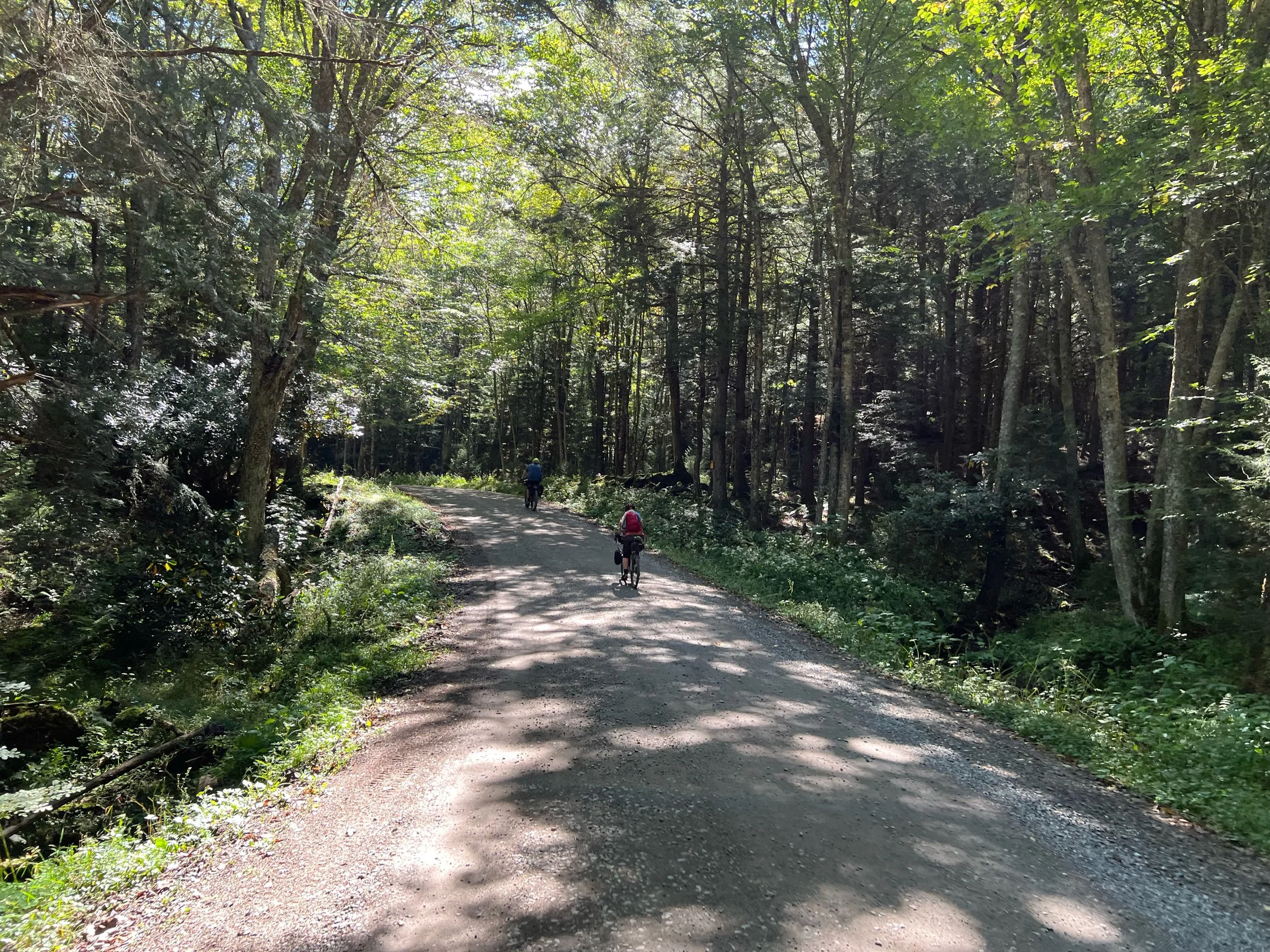
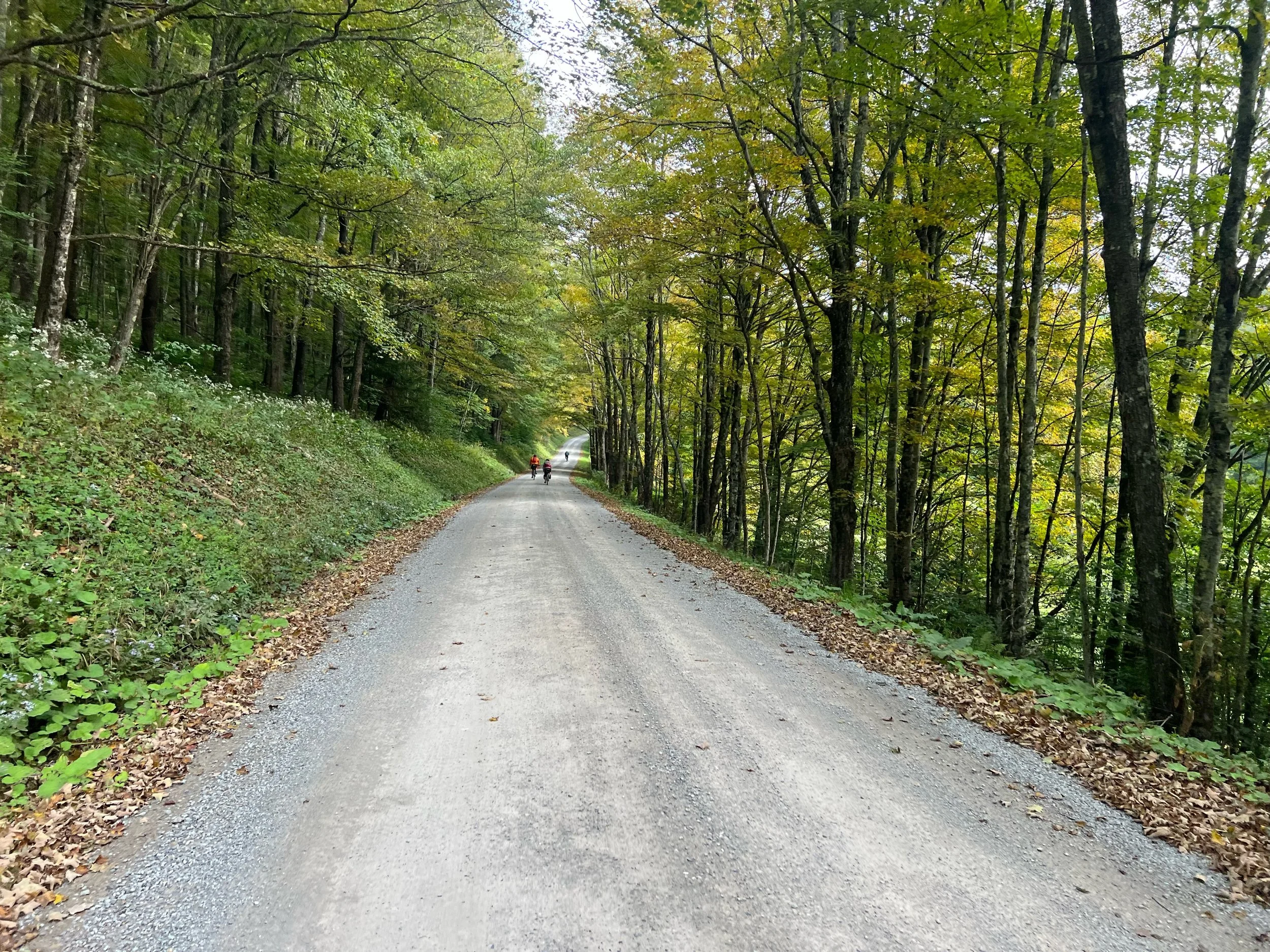
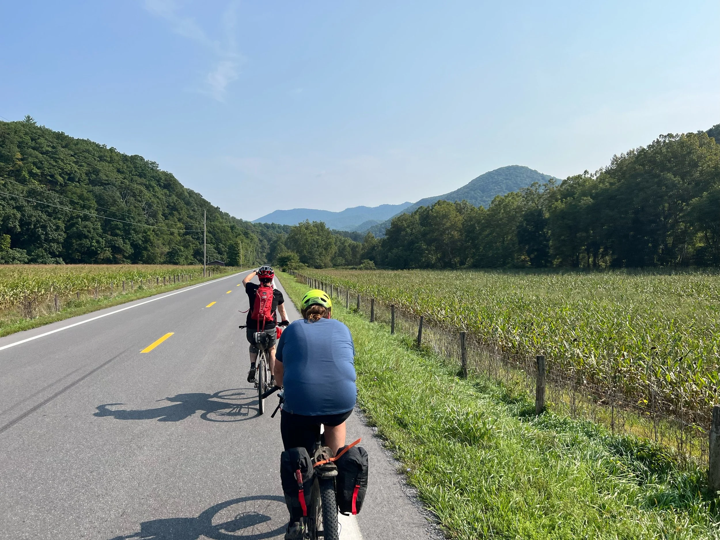
Stuart Recreation Area to Laurel Fork Campground
Highlights
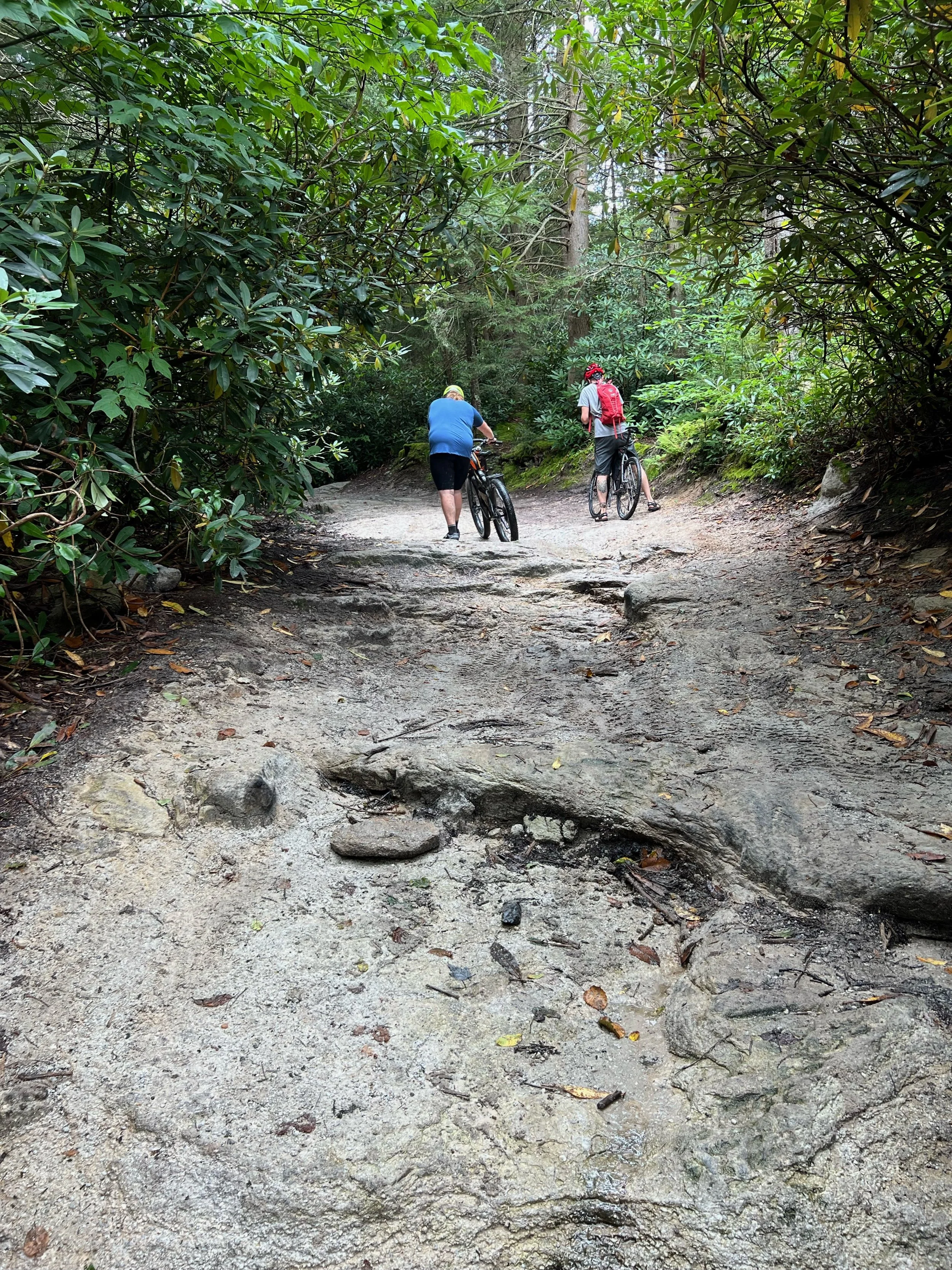
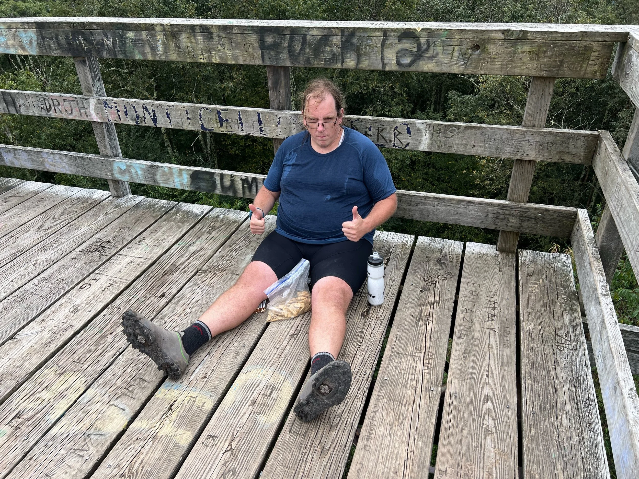
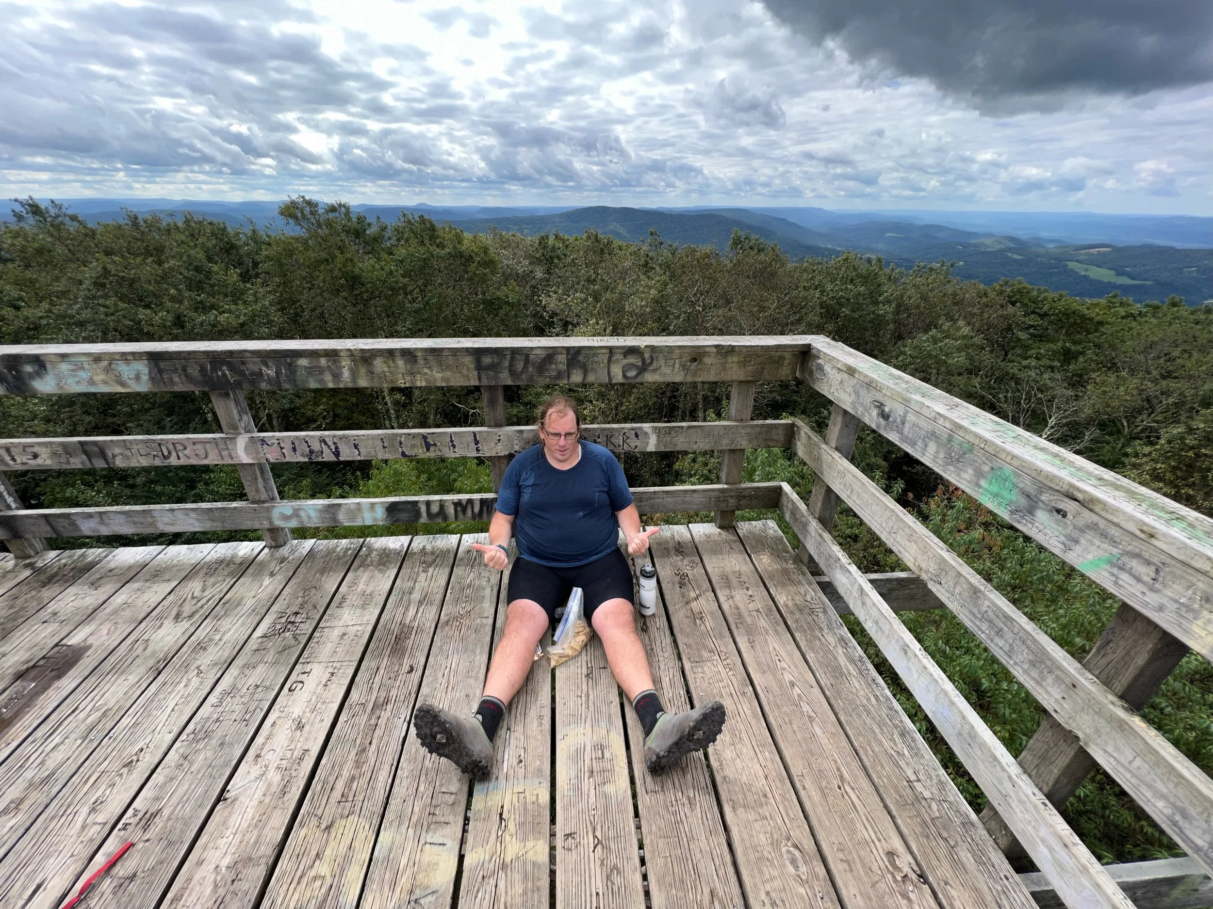
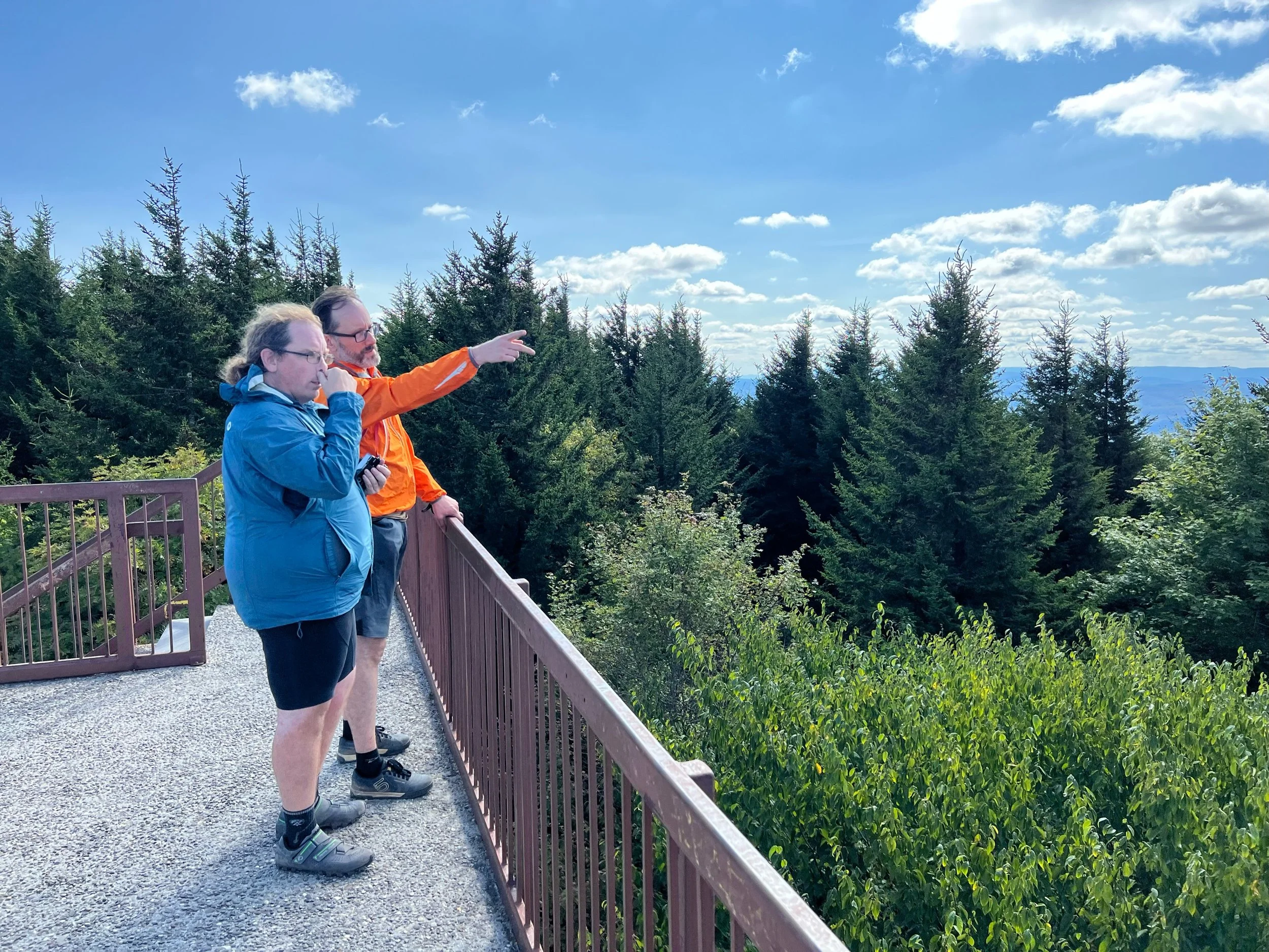
Bickle Knob 4 mile climb. I walked sections. Peter experienced drivetrain issues on the climb.
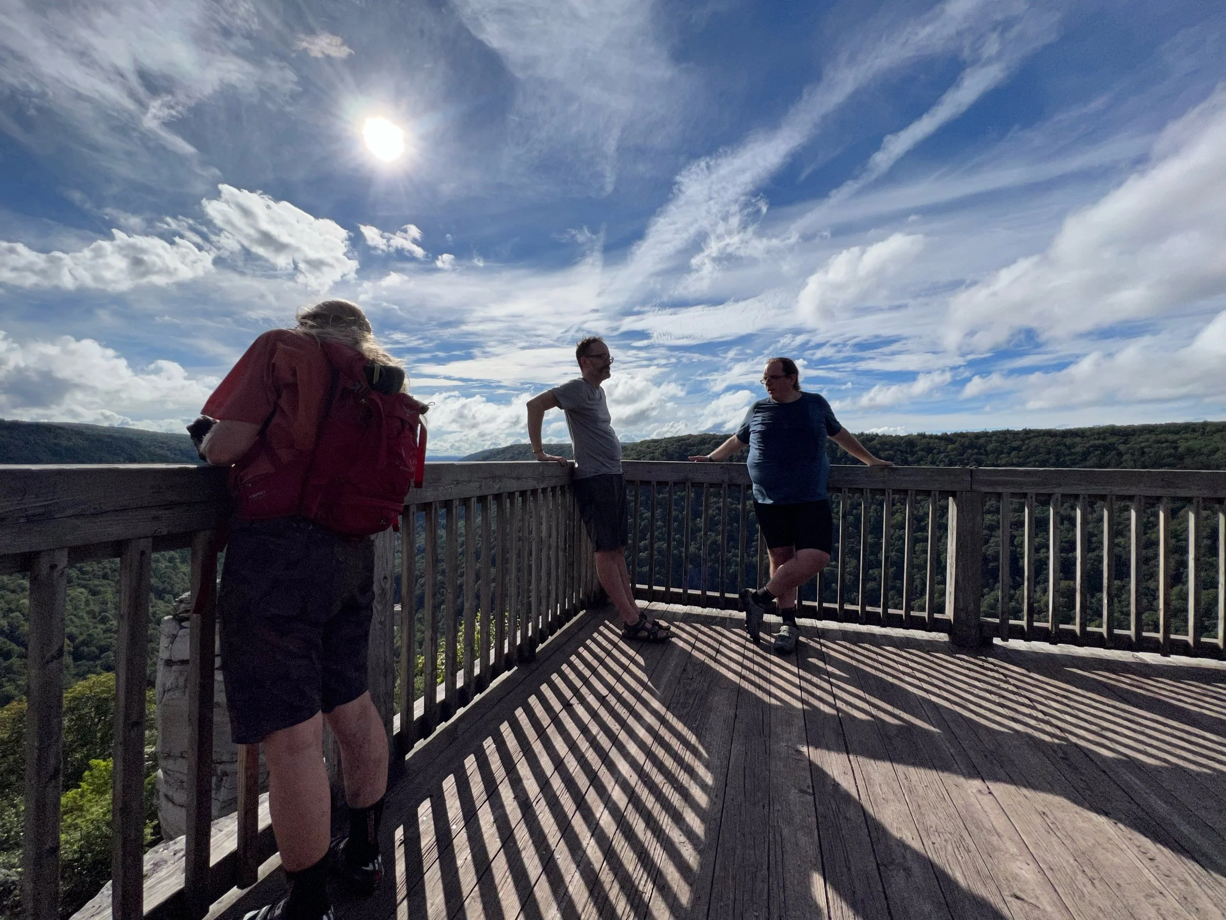
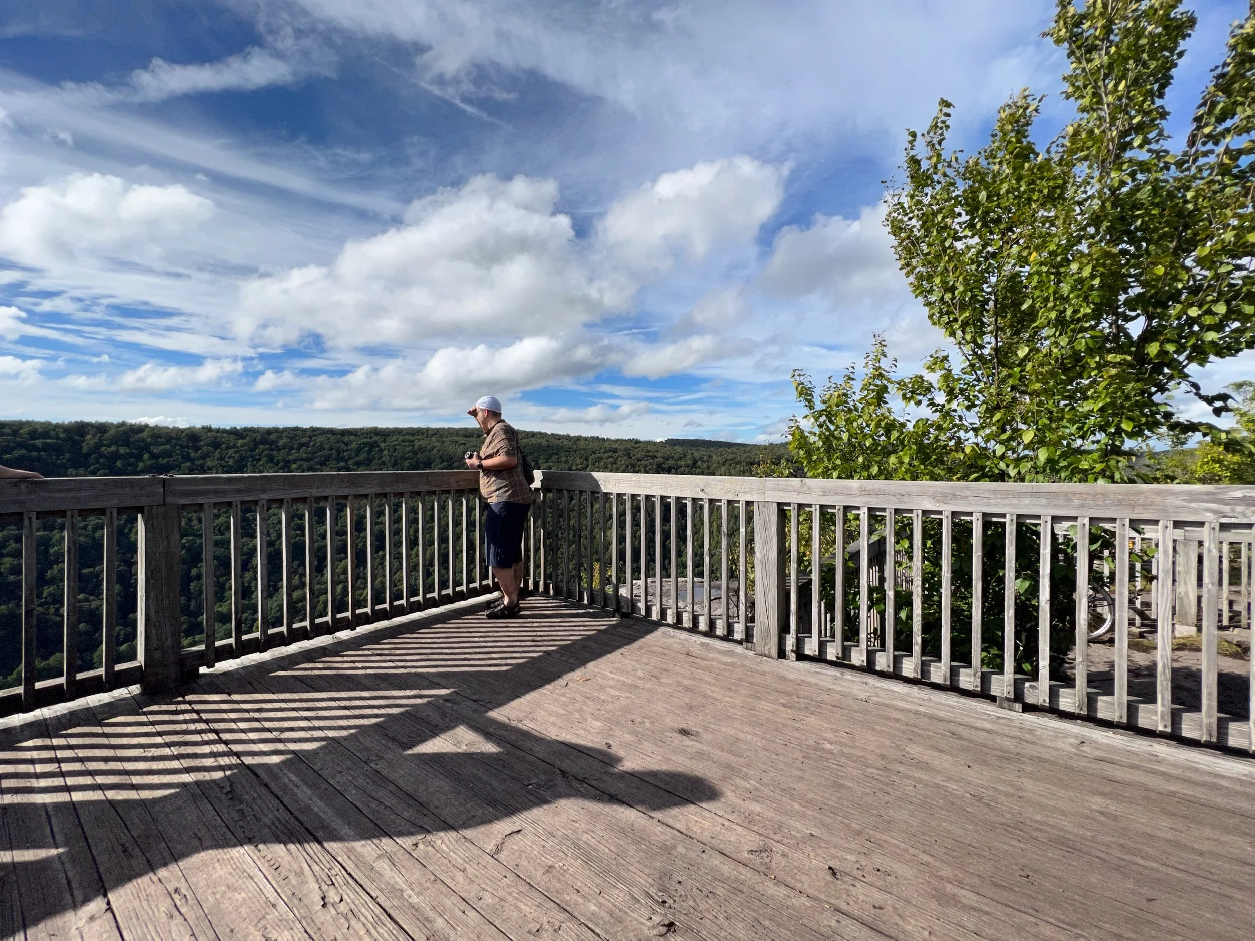
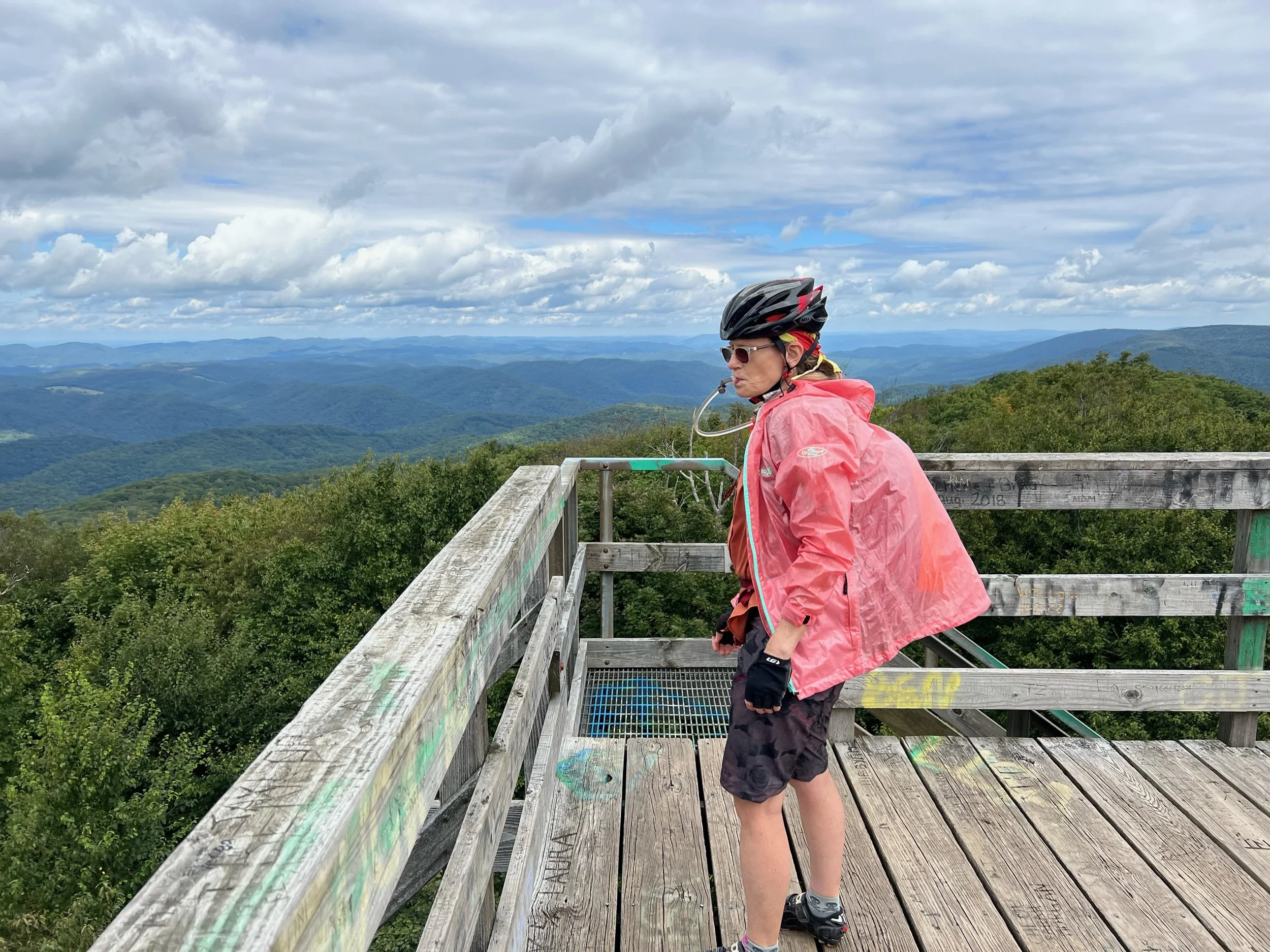
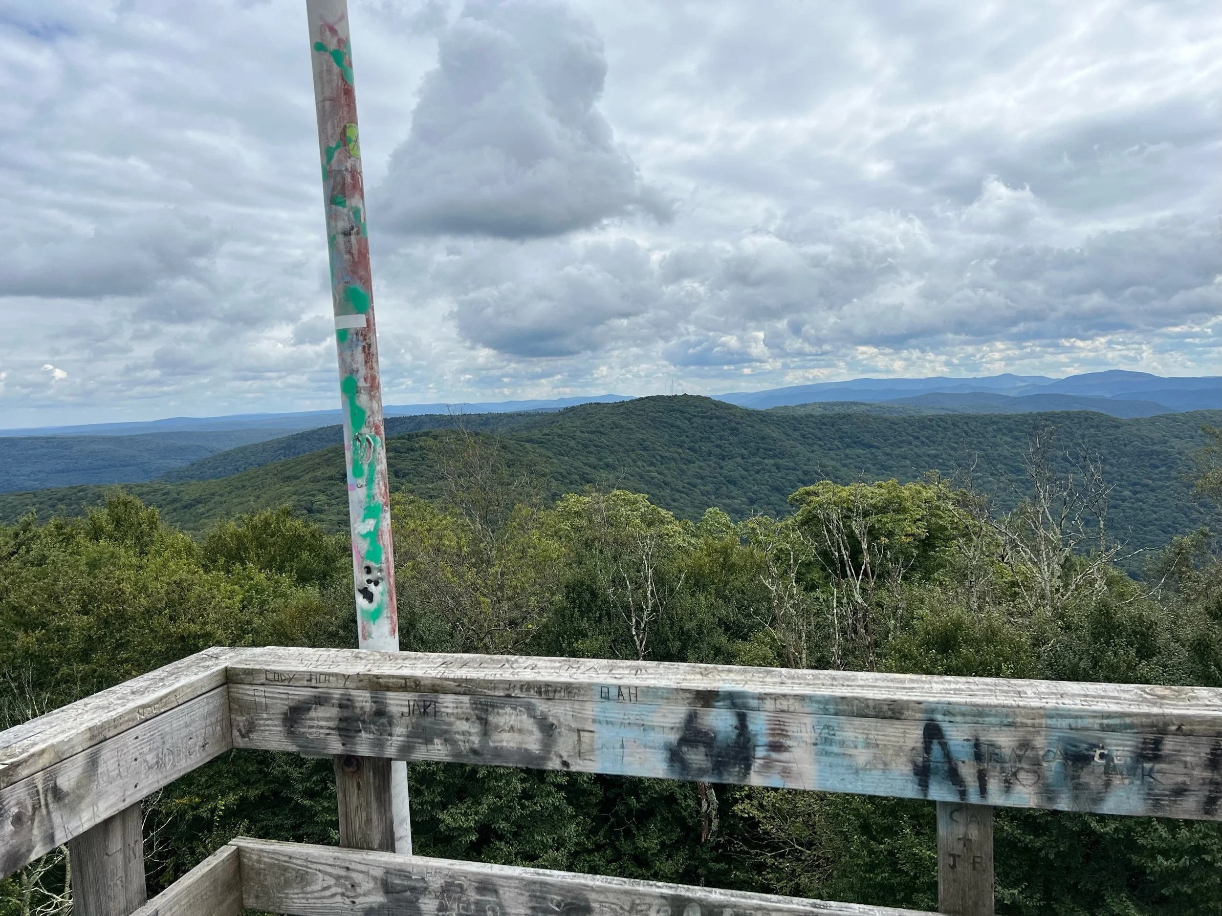
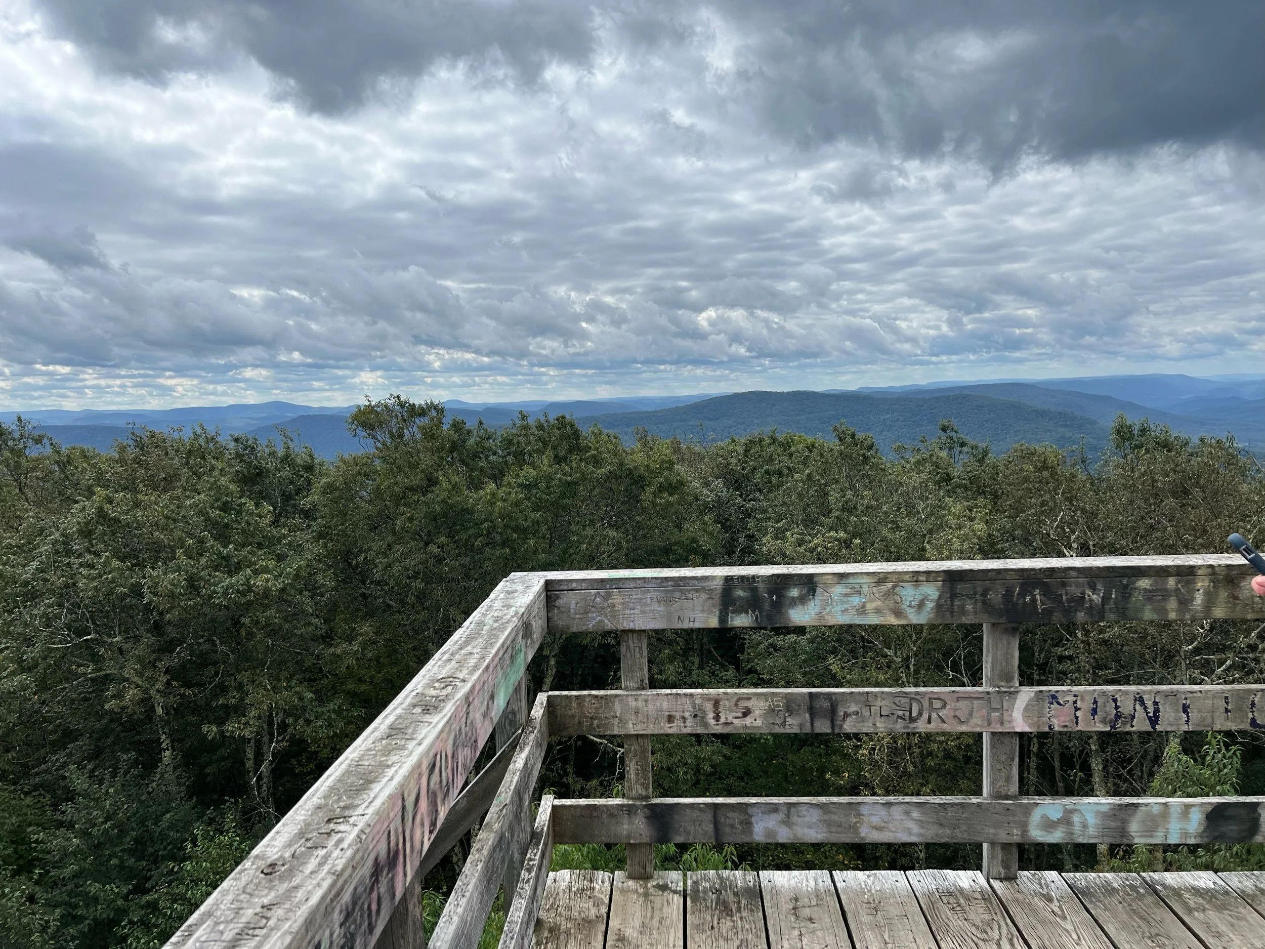
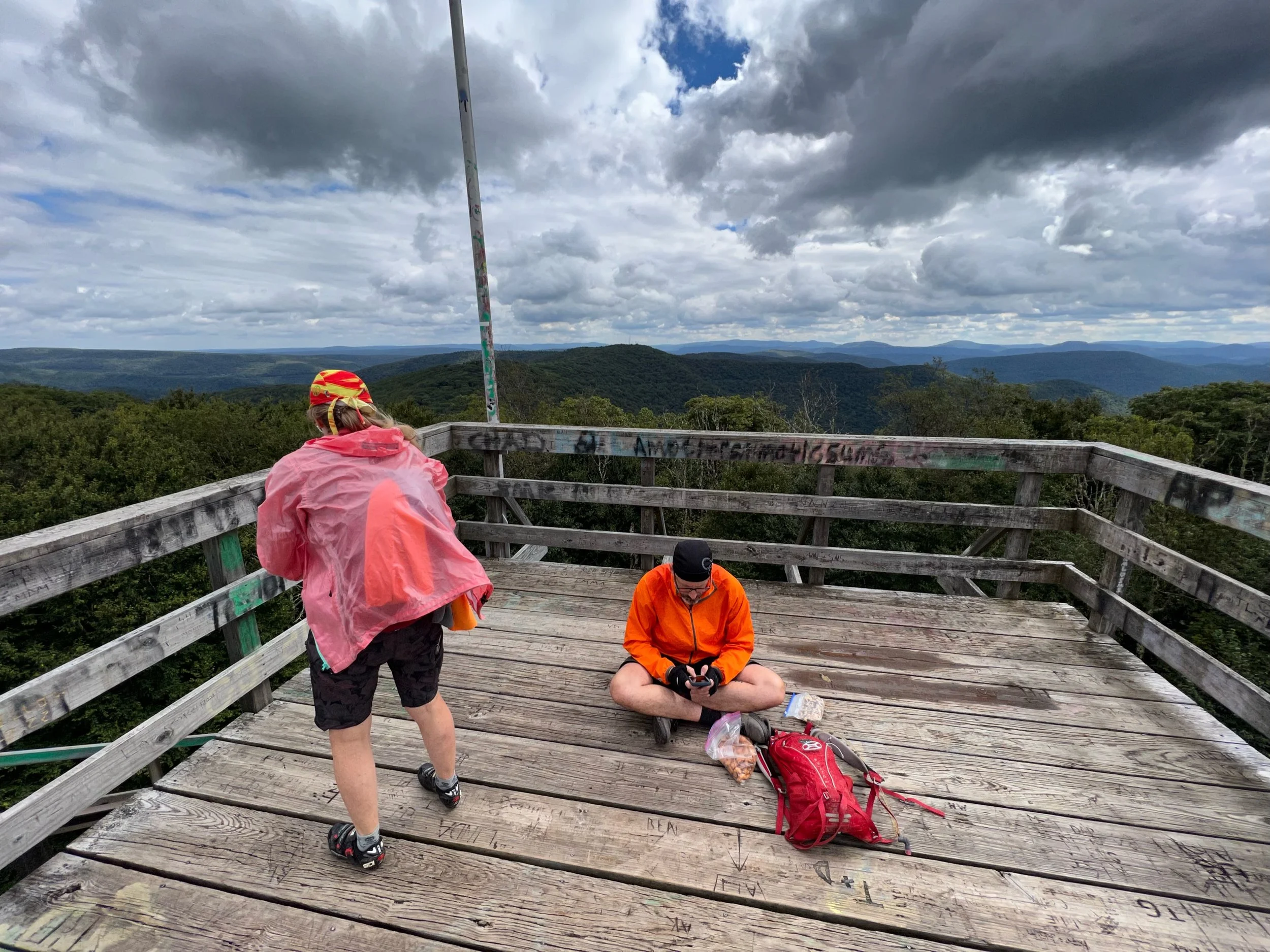
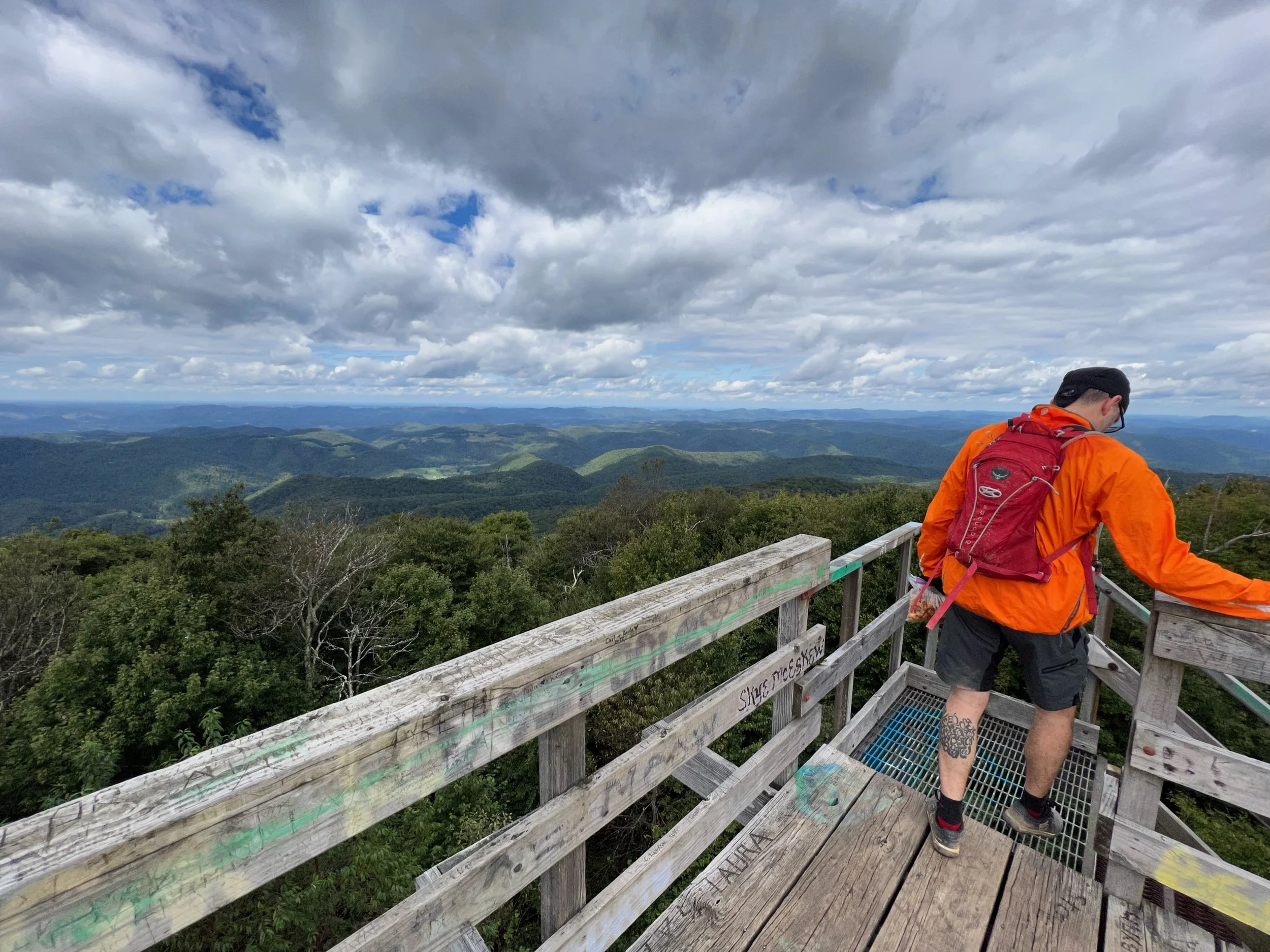
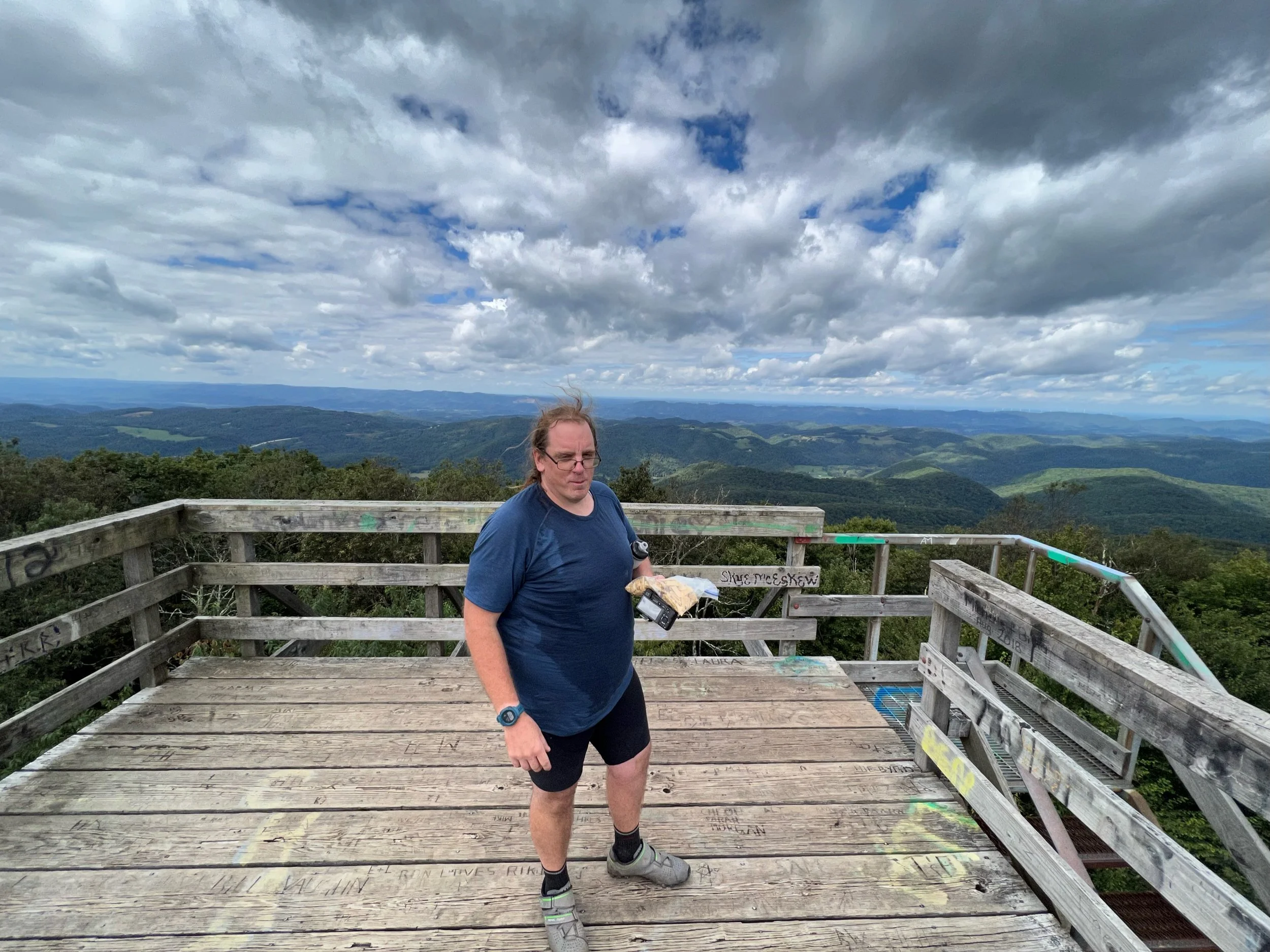
Bickle Knob Observation Tower
Temps dropped at the top and it was windy
8 mile downhill and the temps rose. Sun came out.
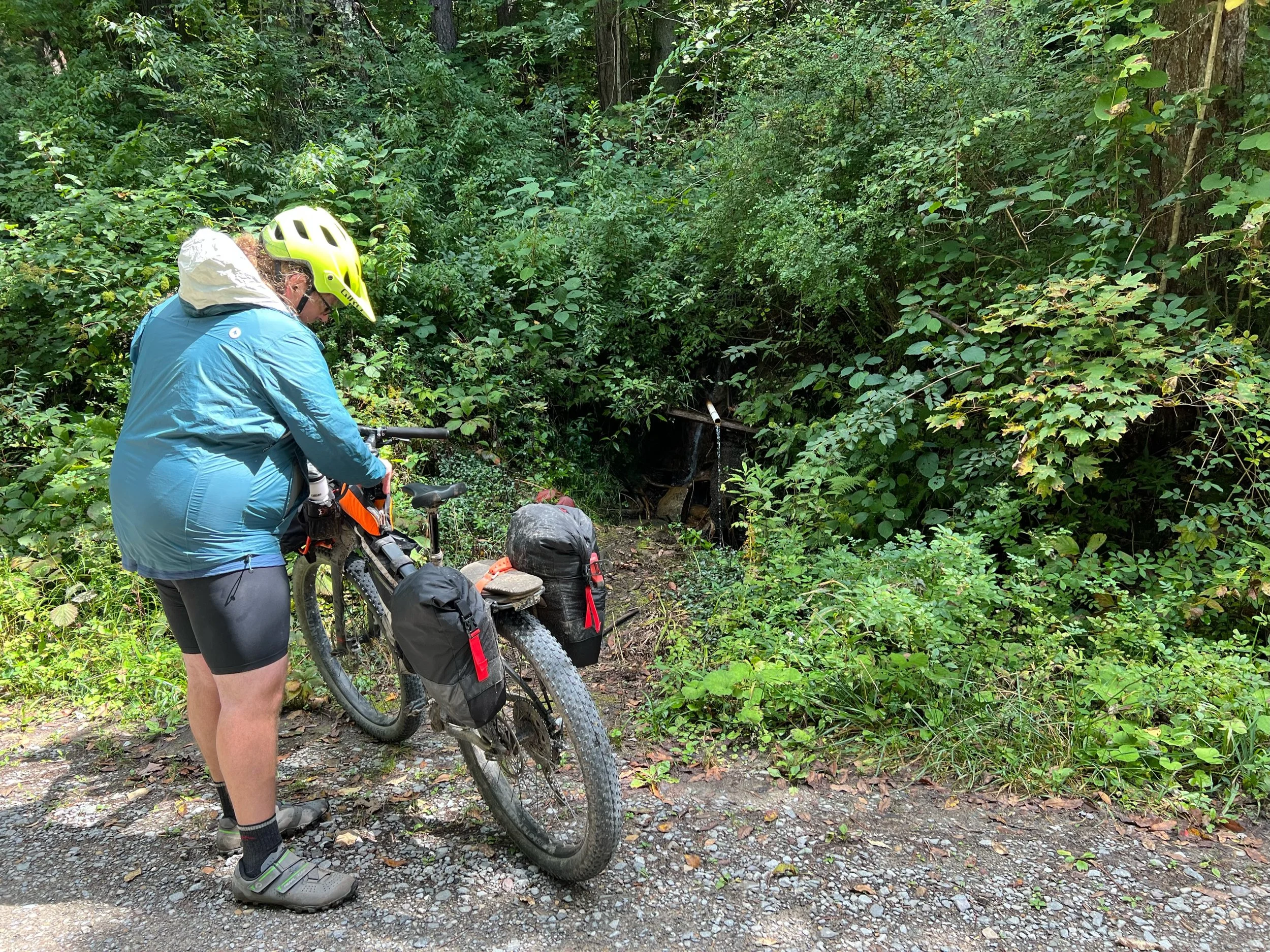
Spring water stop
Alpena, WV downhill on 33.
Middle Mountain Road is long. And hard.
Lunch stop on the ridge
5 mile climb with 1000 feet gain after the drop into the creek valley. Still on Middle Mountain.
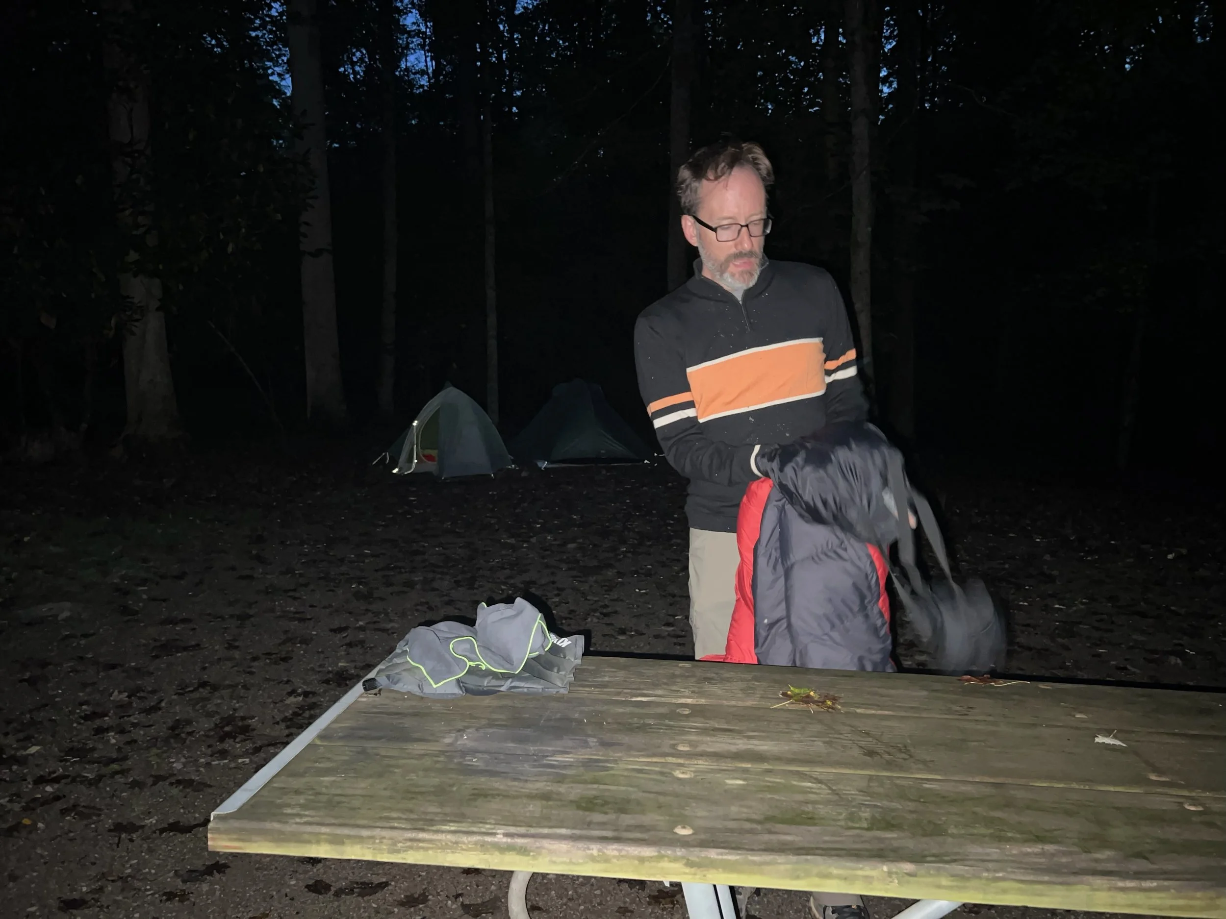
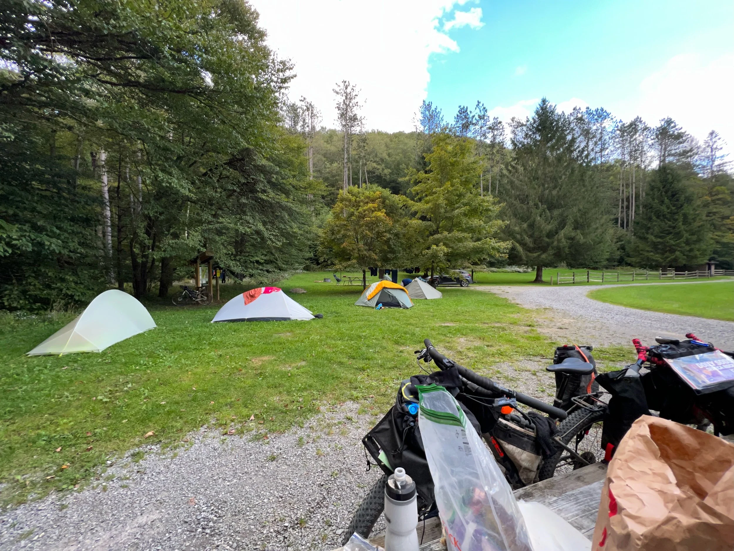
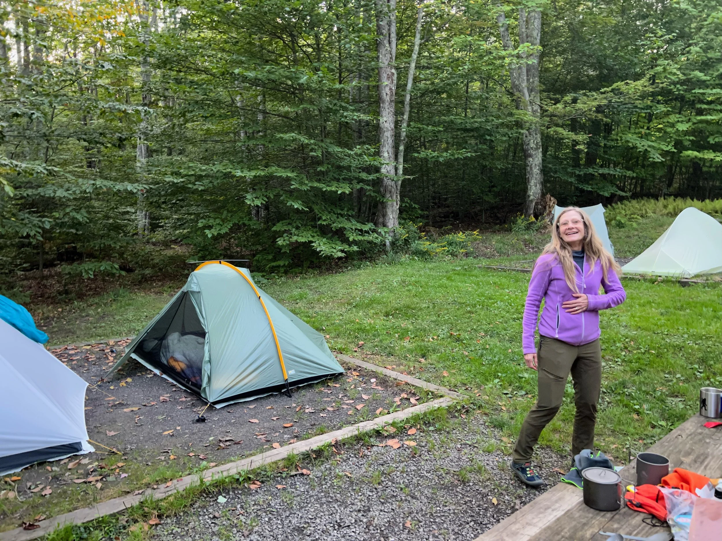
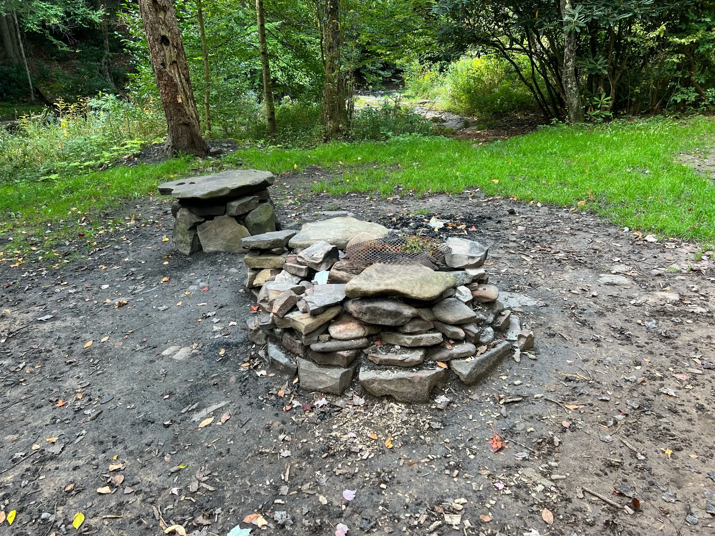
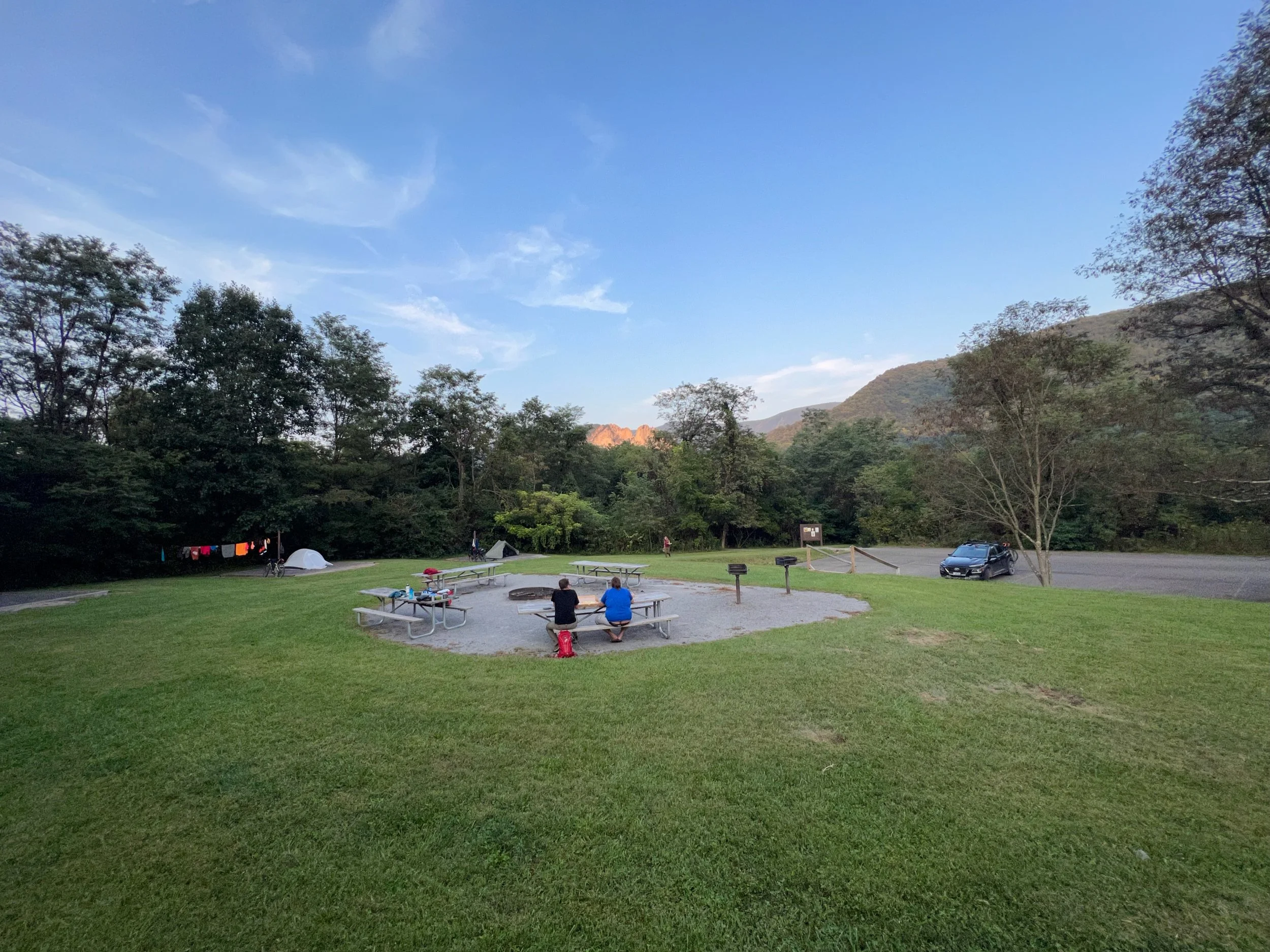
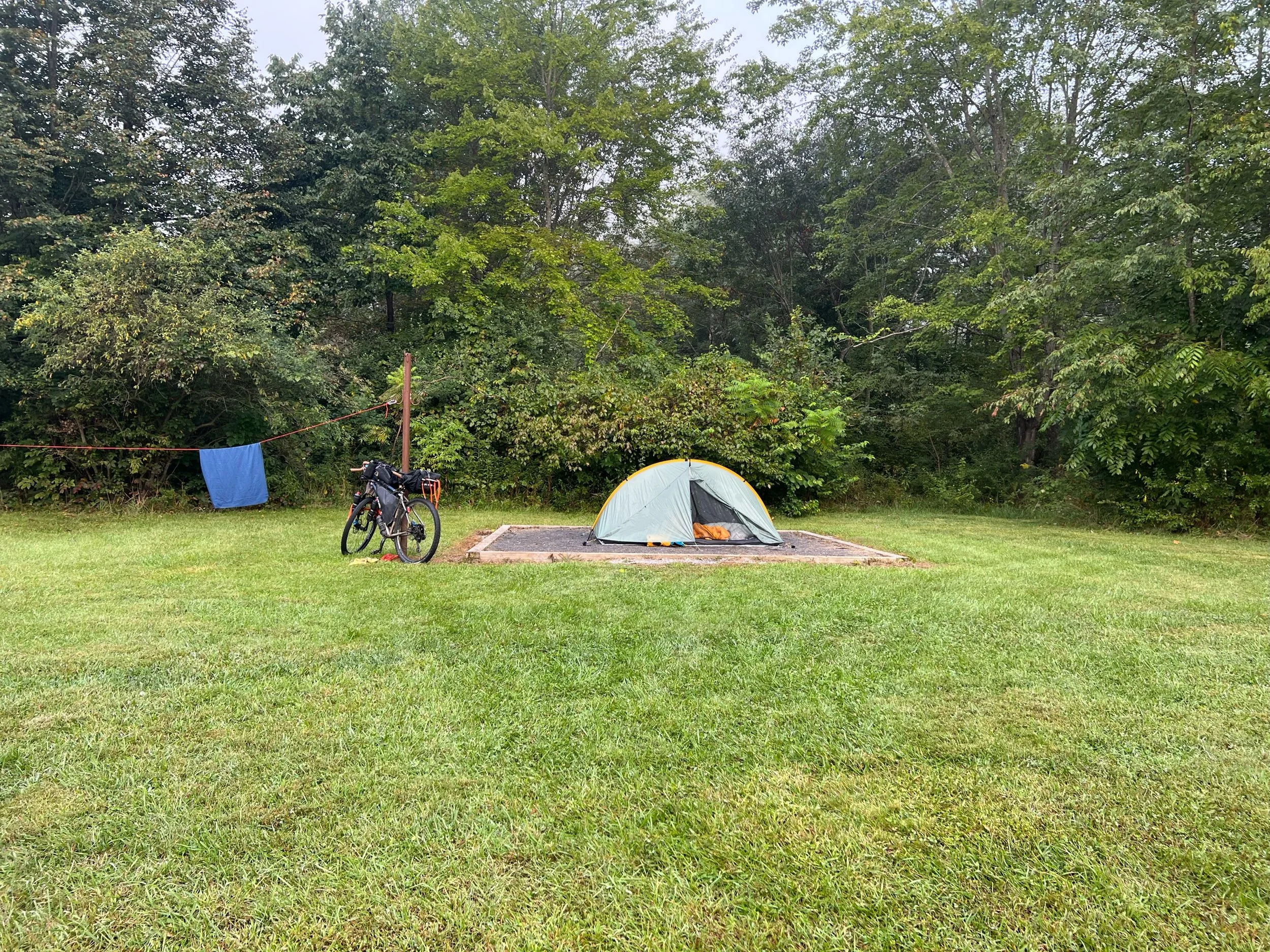
Laurel Fork campground end
We met campers from Athens, OH area
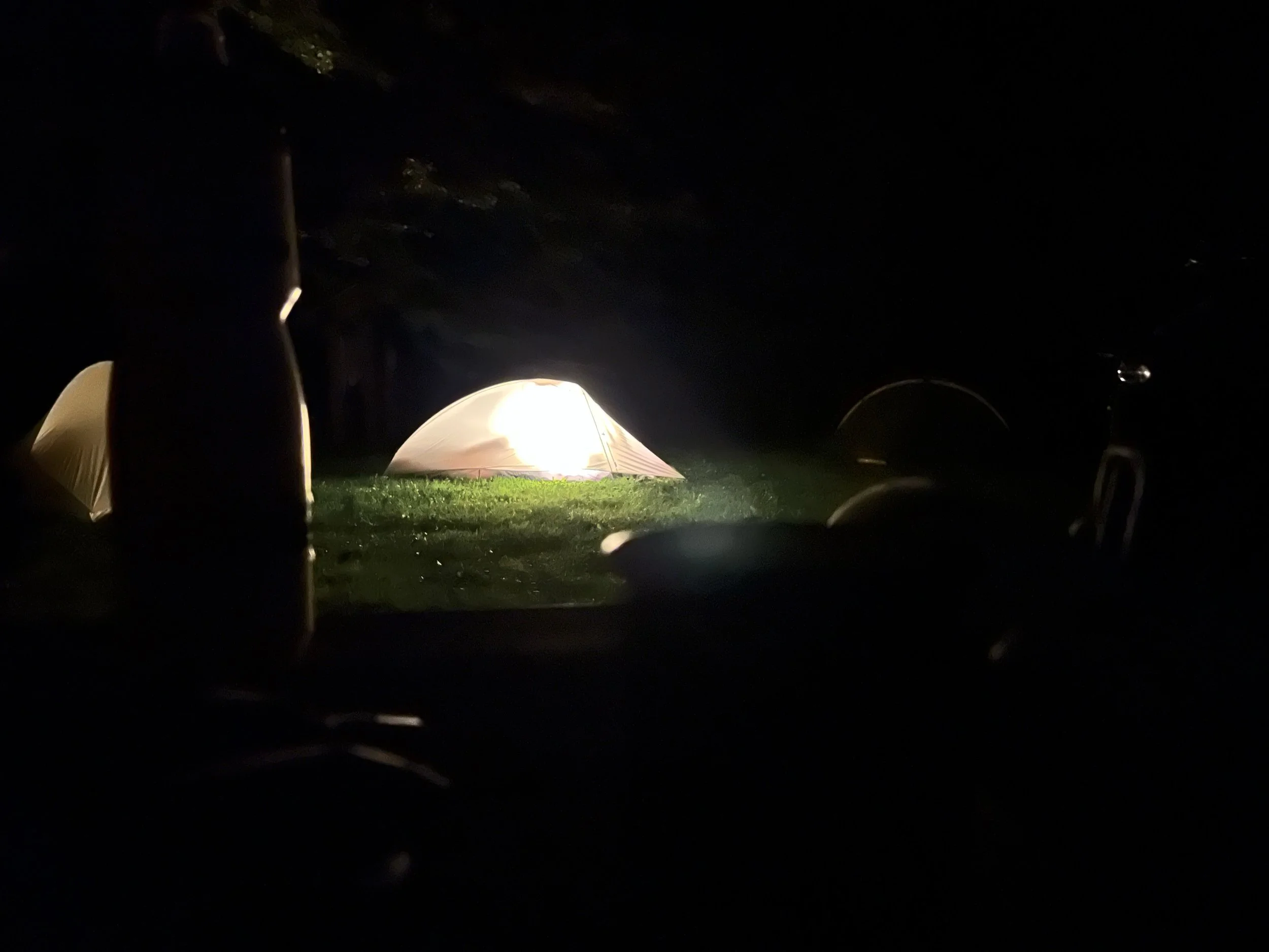
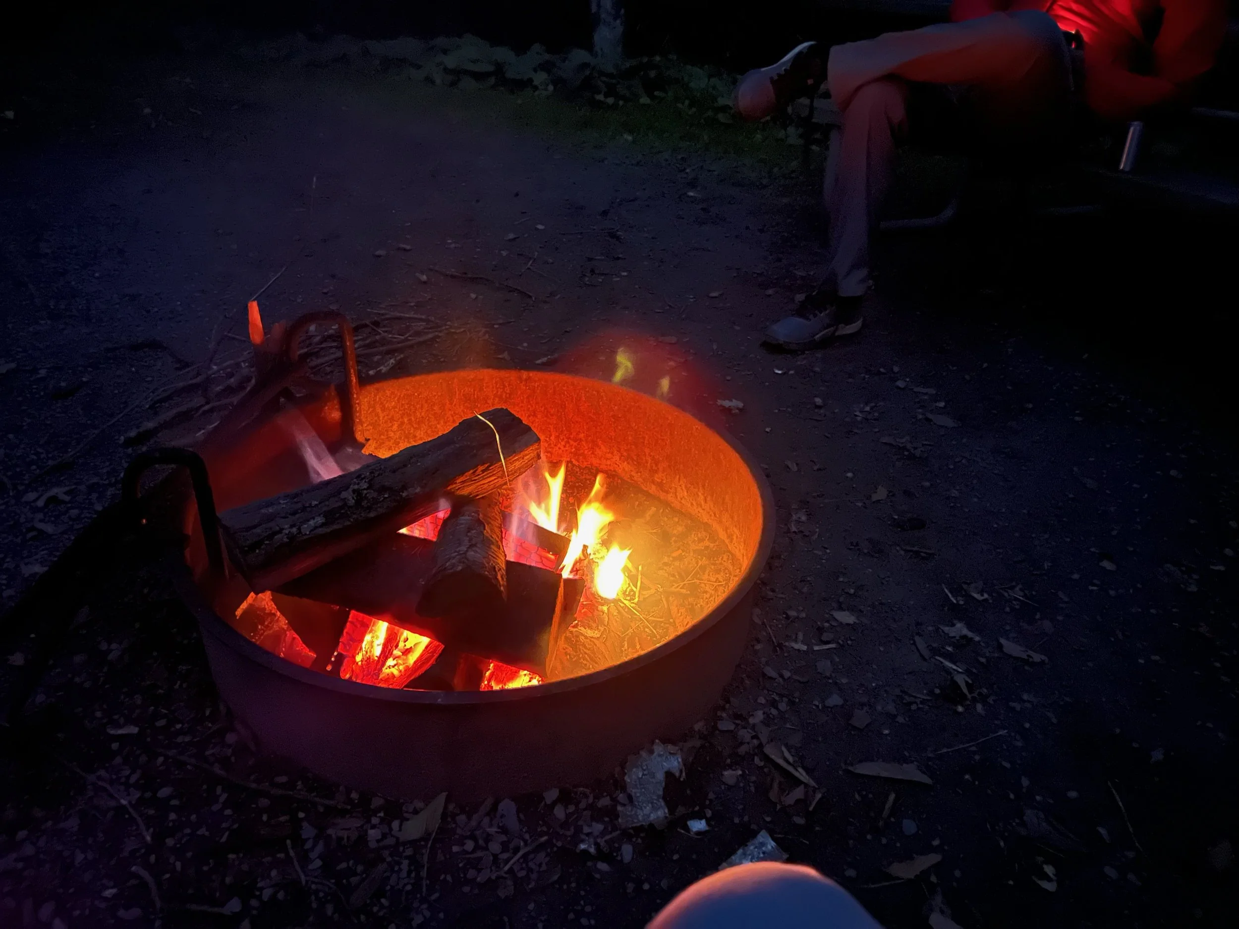
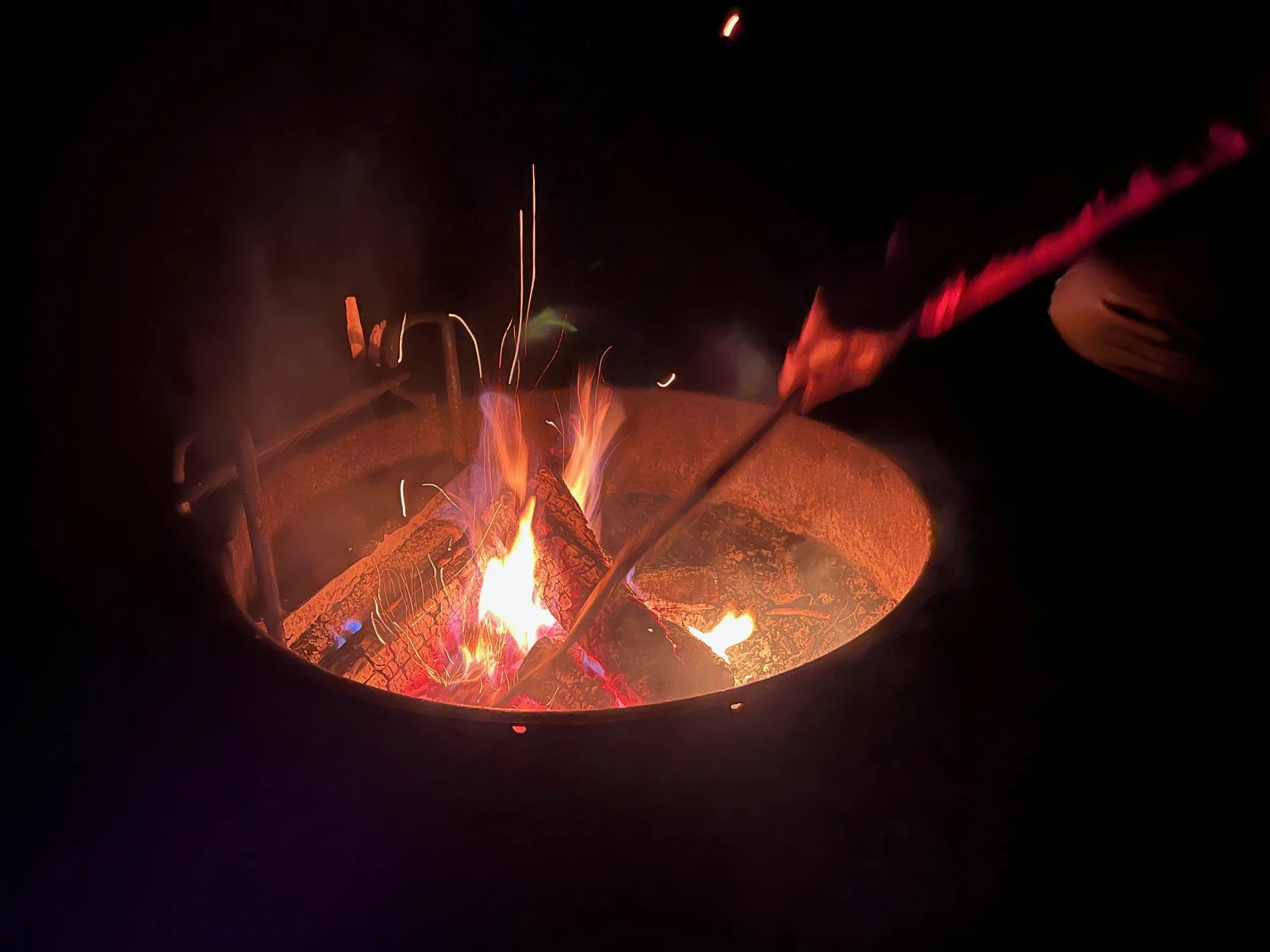
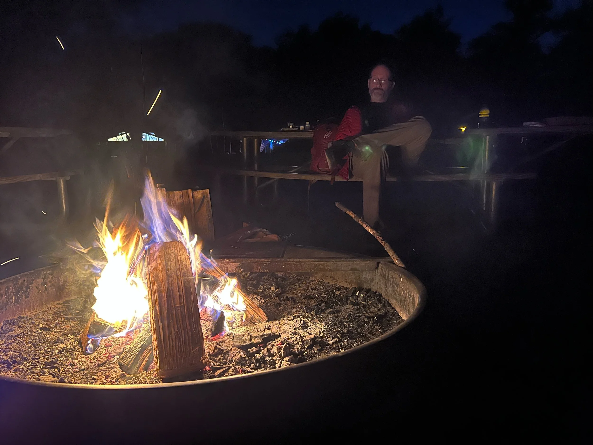
Bonfire
Sky was clear and stars were beautiful
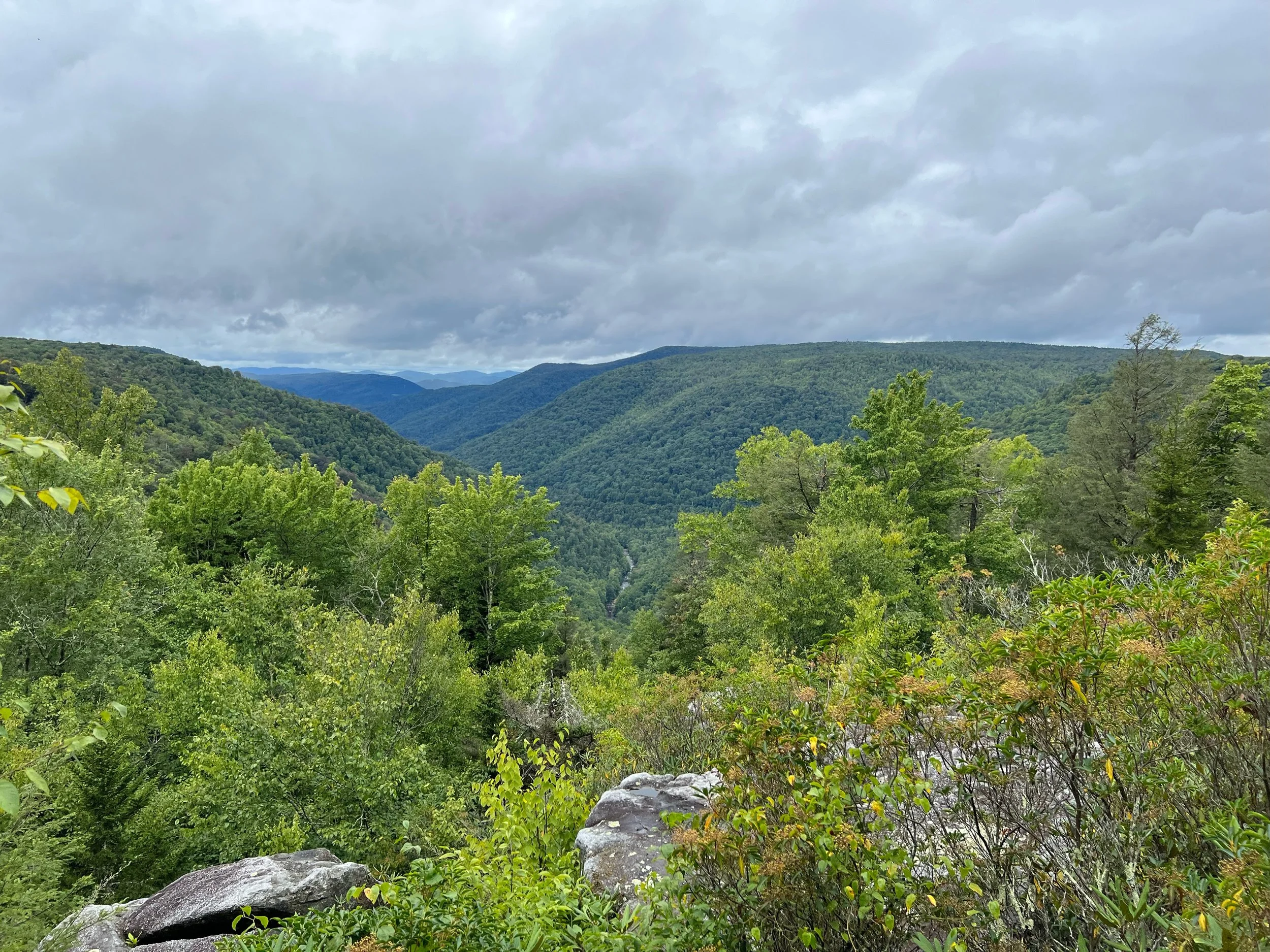
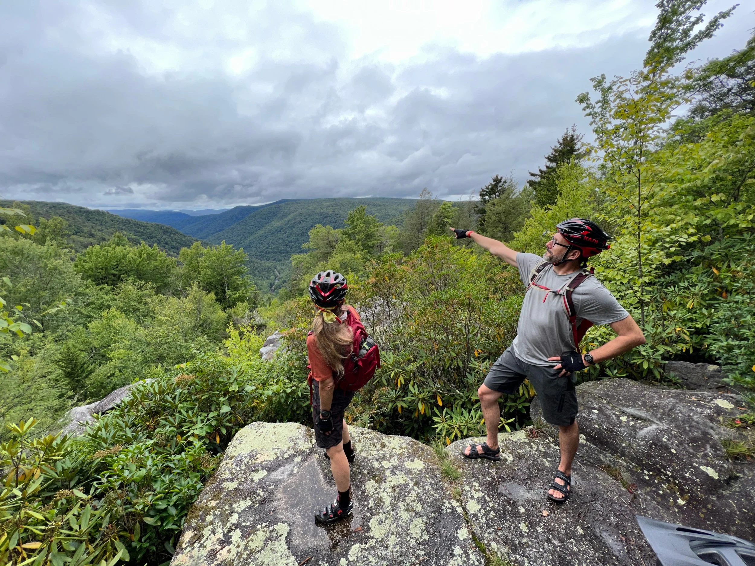
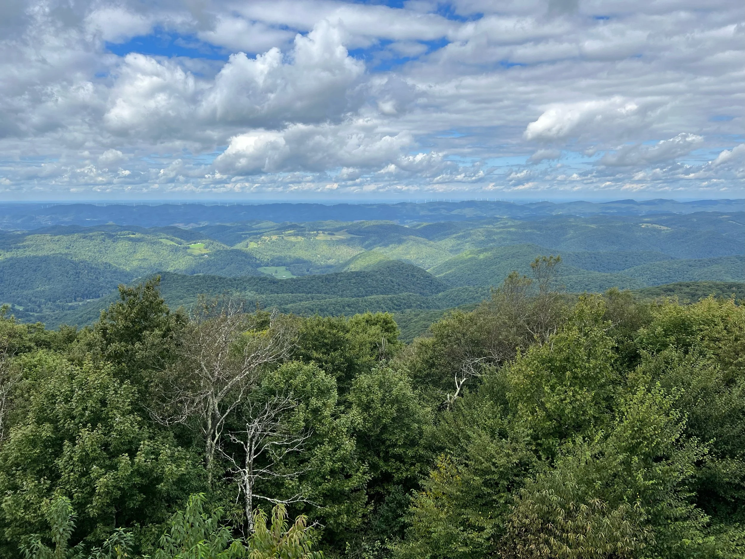
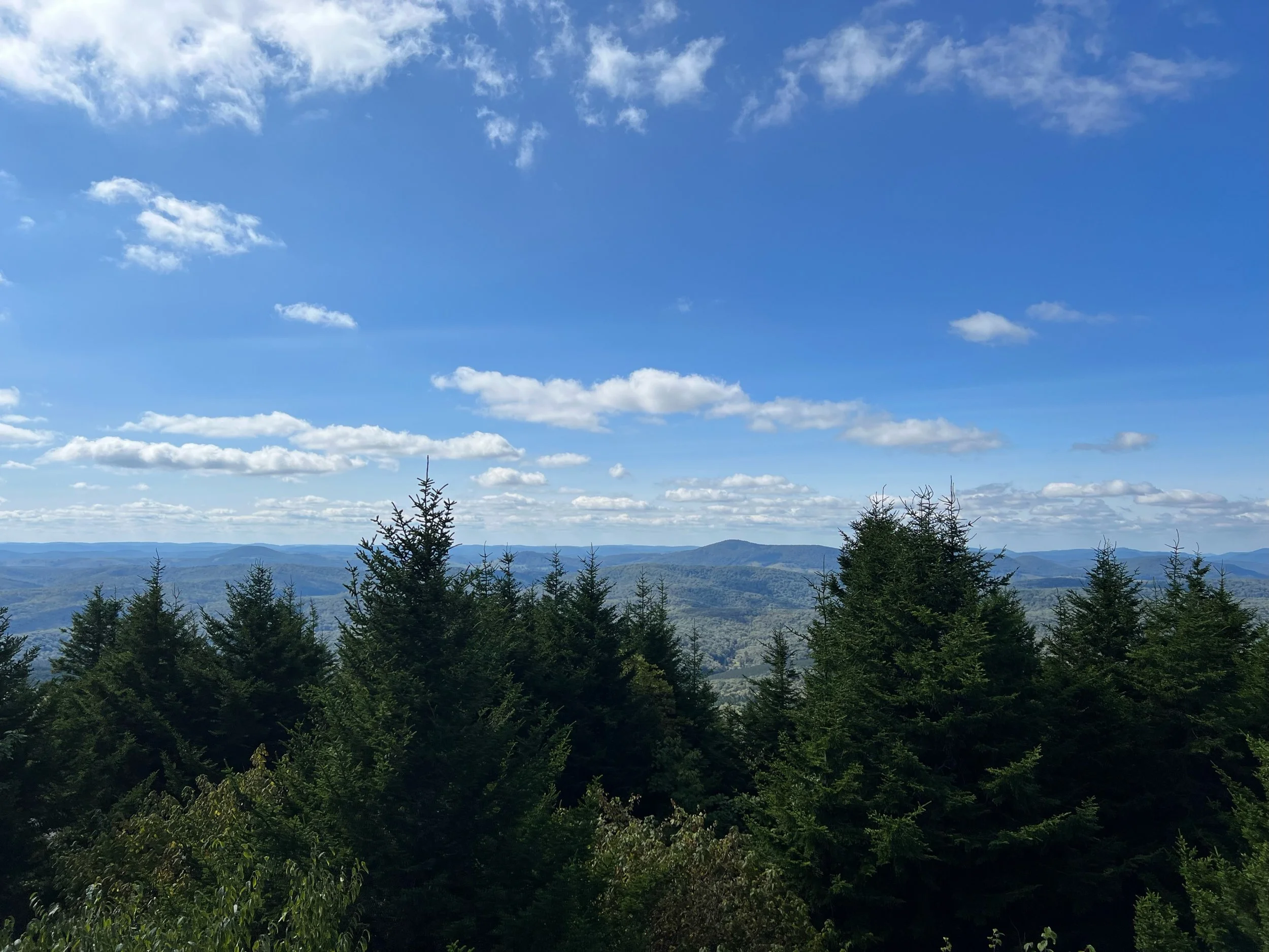
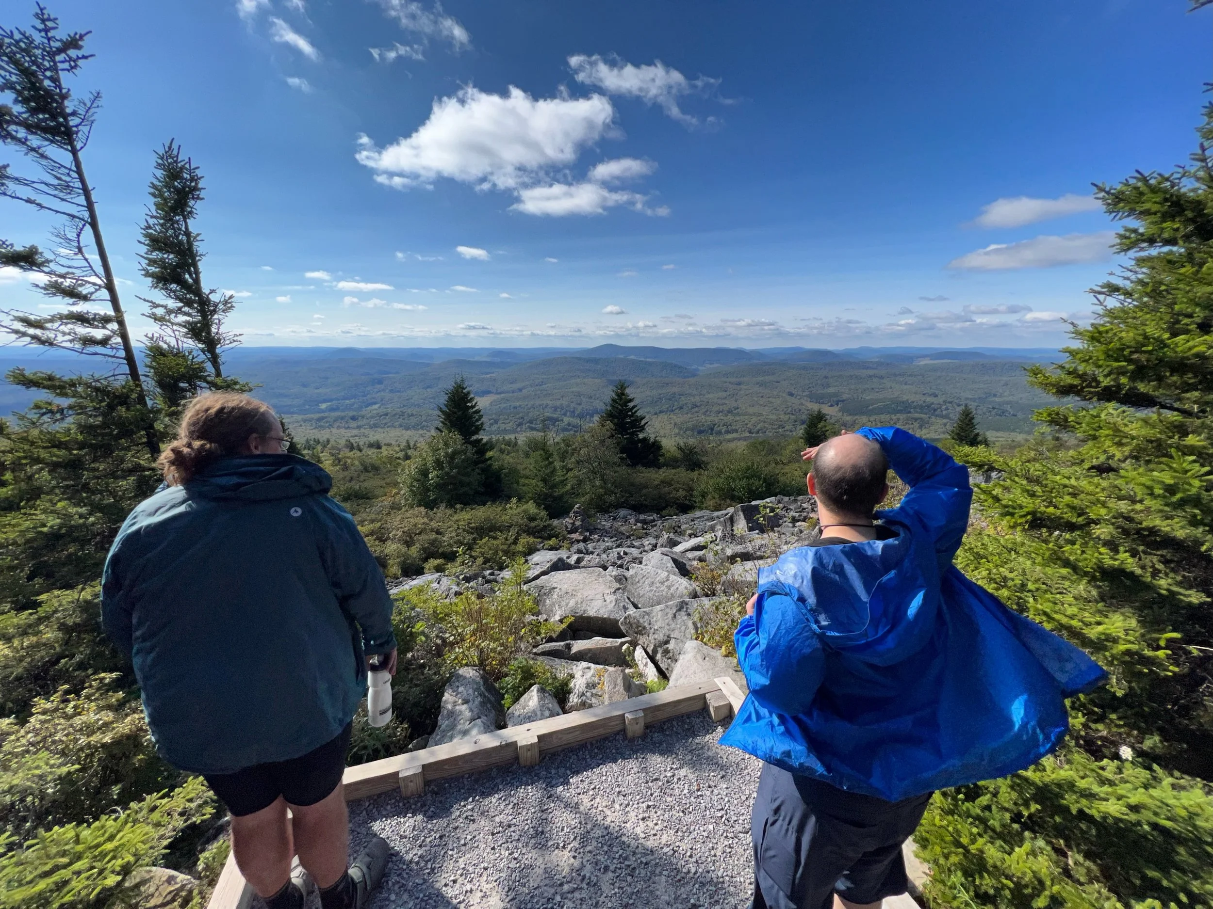
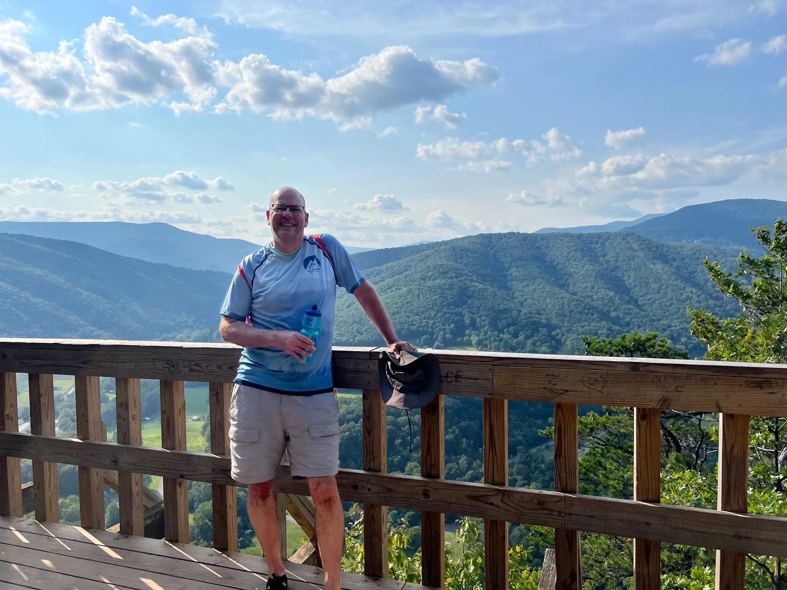
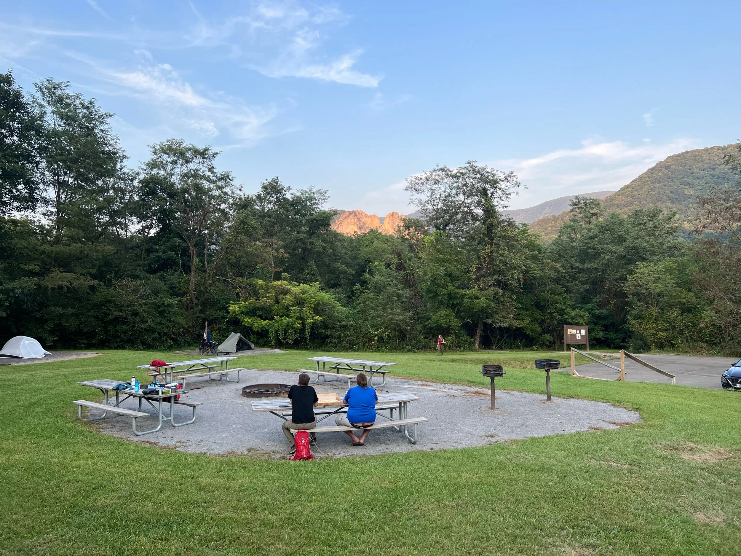
Bickle Knob Observation Tower - Elevation 4,003 ft
The view from the Bickle Knob Observation Tower
From wikipedia: The most prominent feature at Bickle Knob is its observation tower. Formerly a fire tower, the original cab has been removed and replaced with a wooden viewing platform. The observation tower provides 360-degree views of the surrounding area including the Shavers Fork River, Tygart Valley River valley, and the U.S. Route 33 crossing of Cheat Mountain.


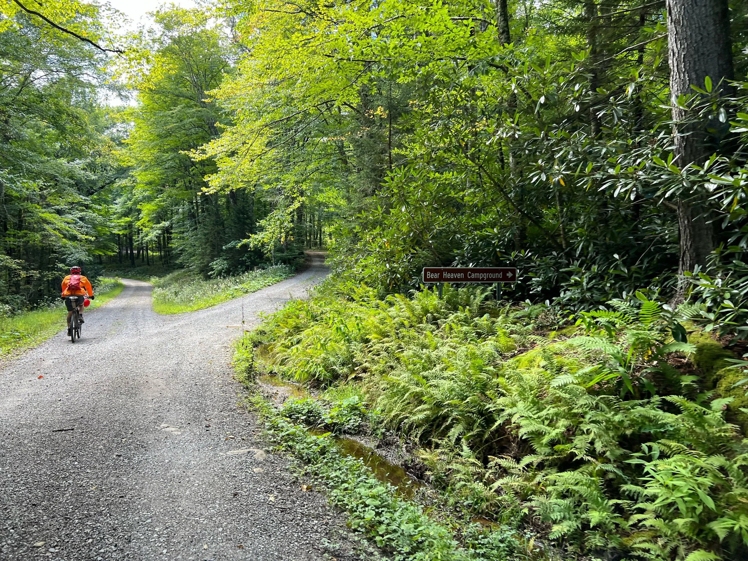


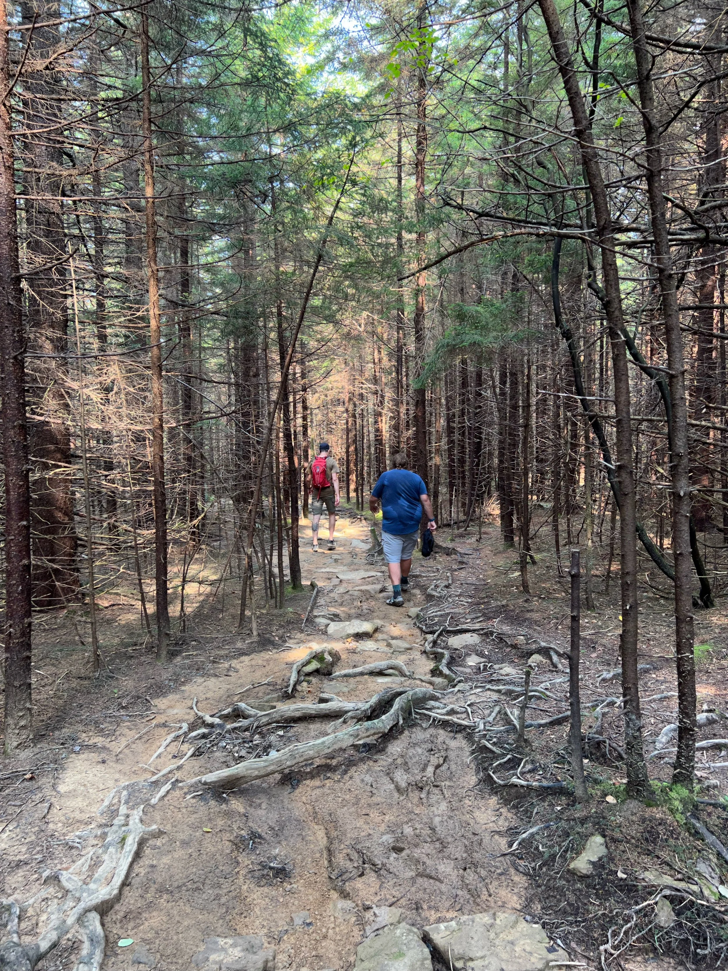
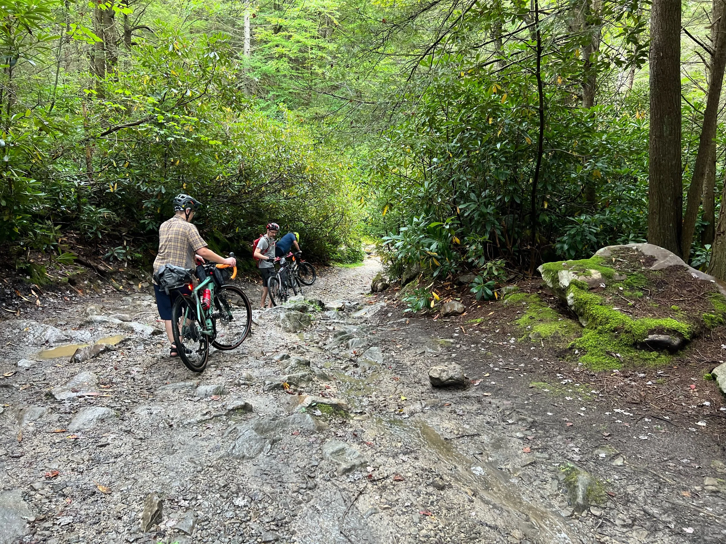
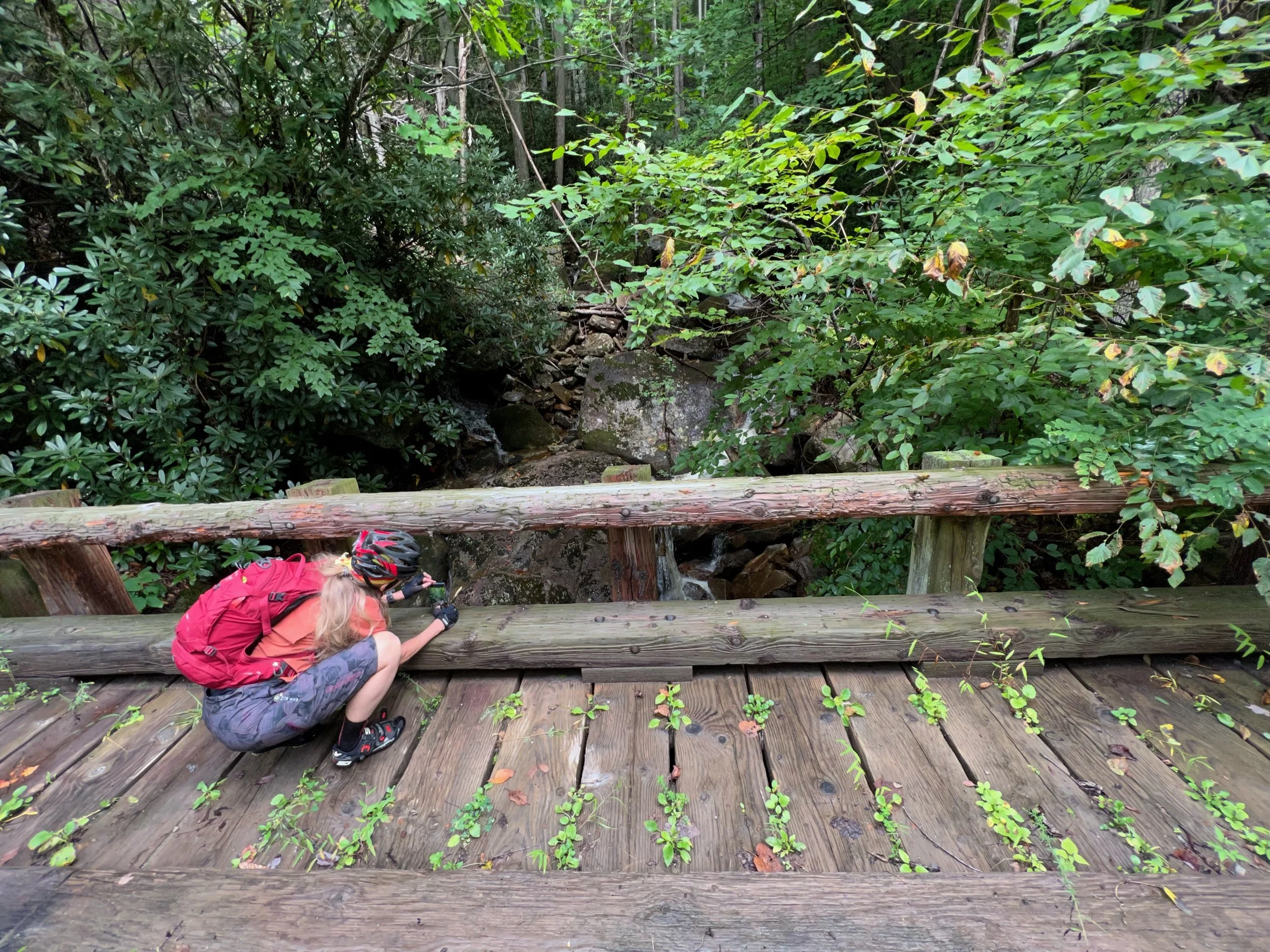
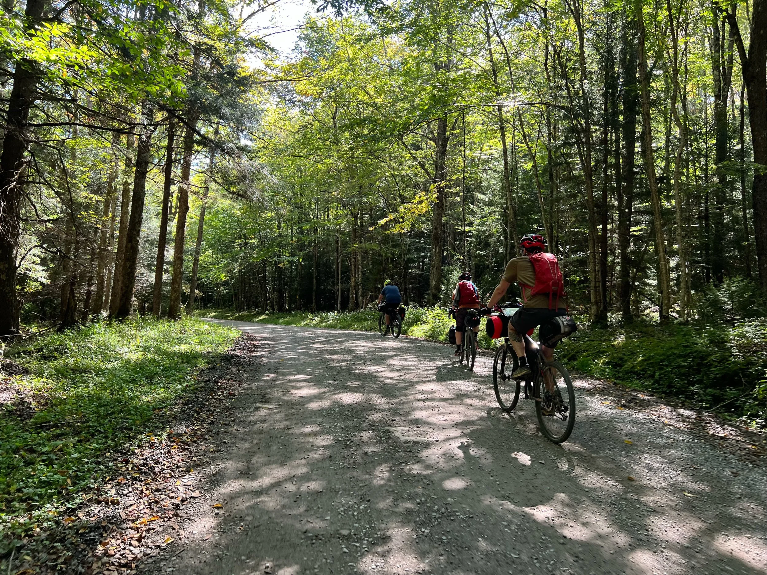
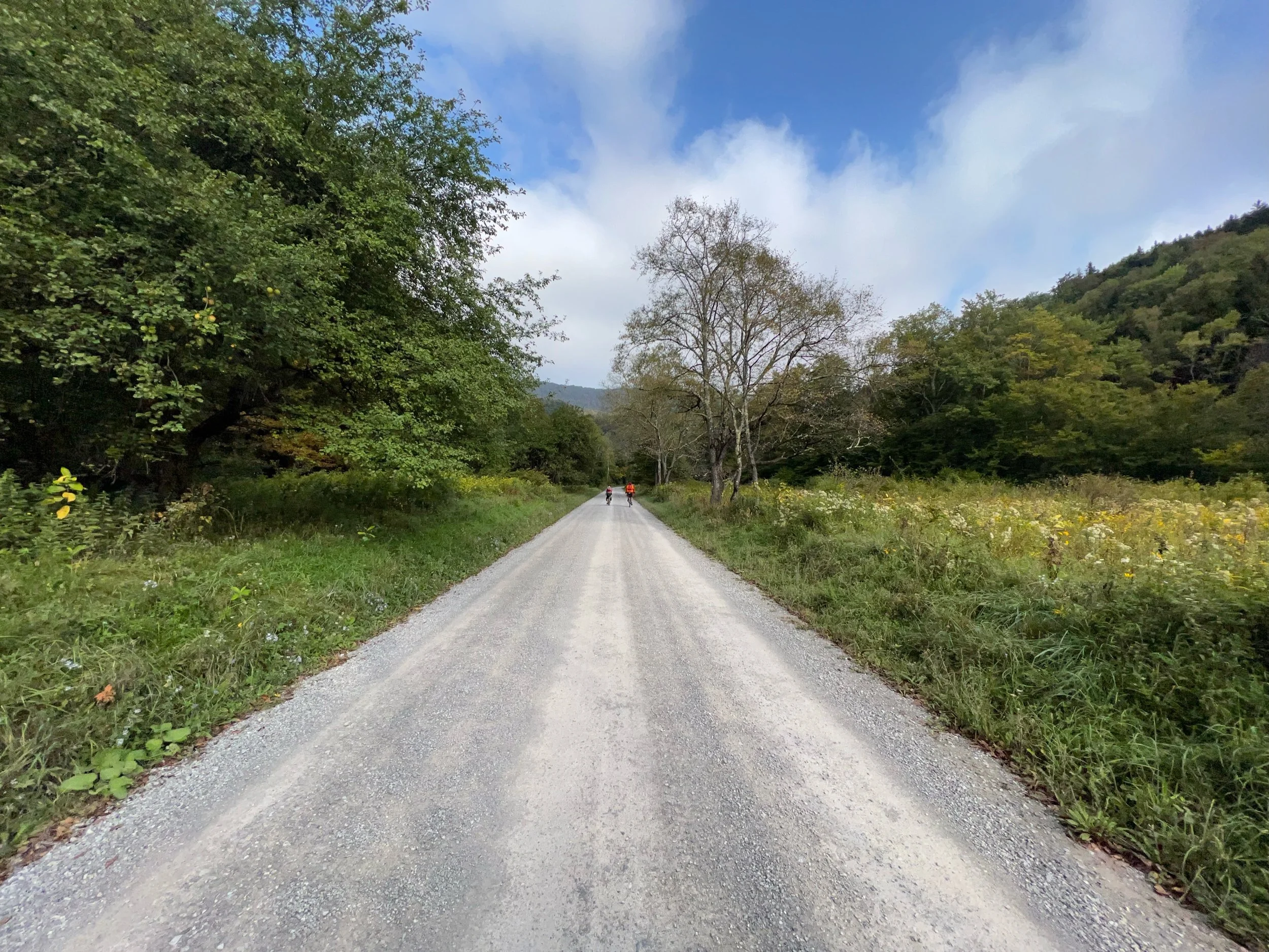
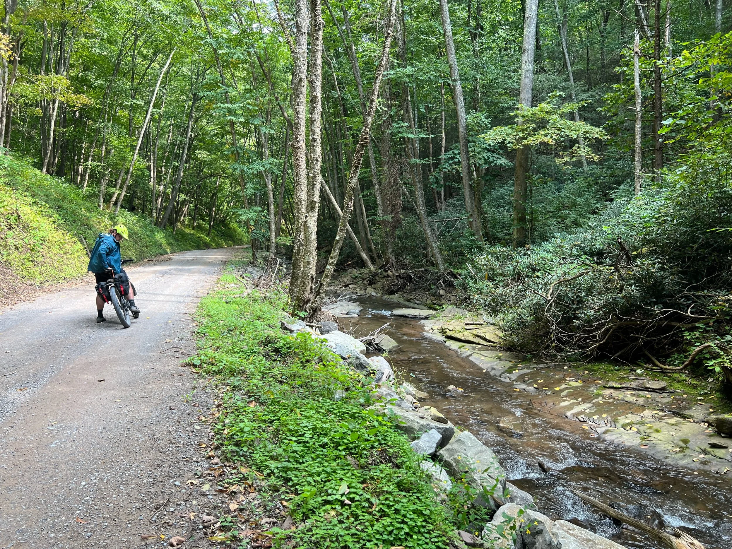
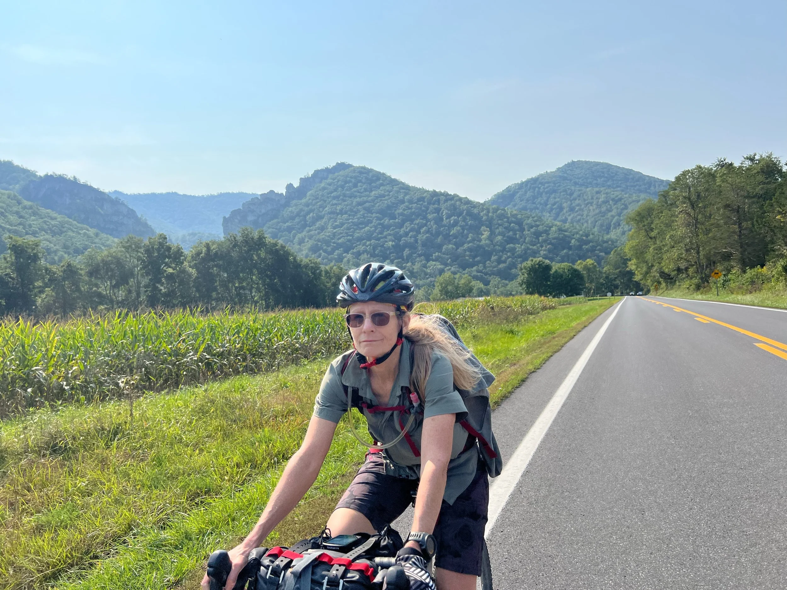
Laurel Fork Campground to Spruce Knob Lake Campground
Highlights
Cold overnight
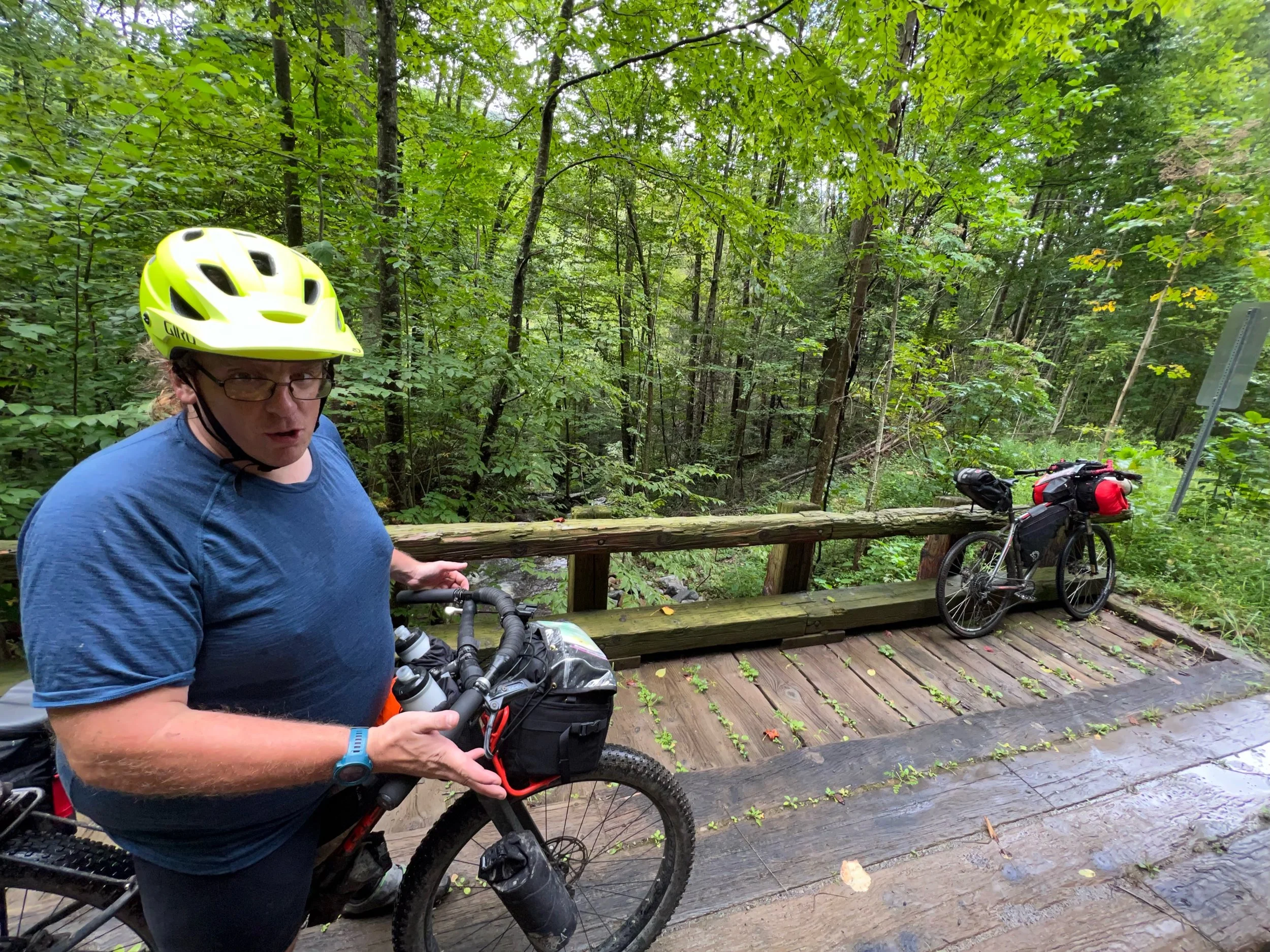
As we were leaving I noticed my front brake was rubbing. I tried to fix it but brake pads were rubbing.
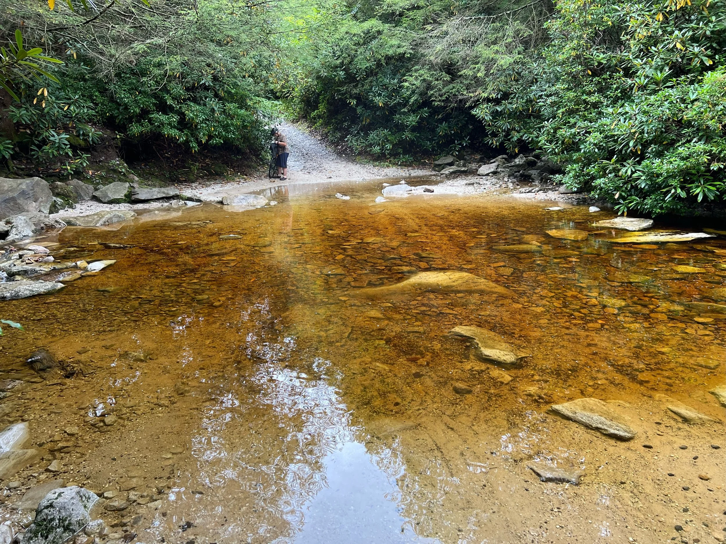
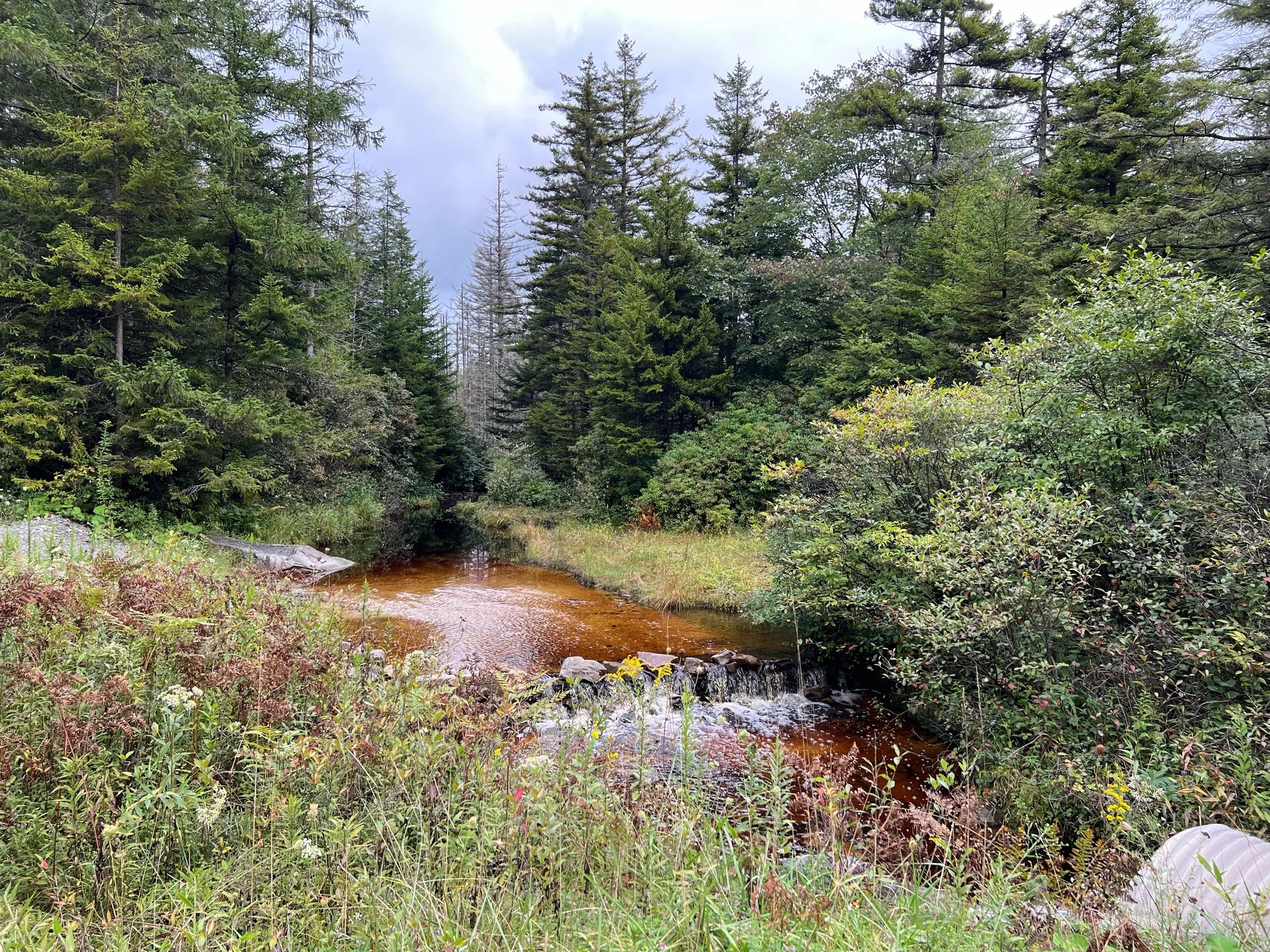
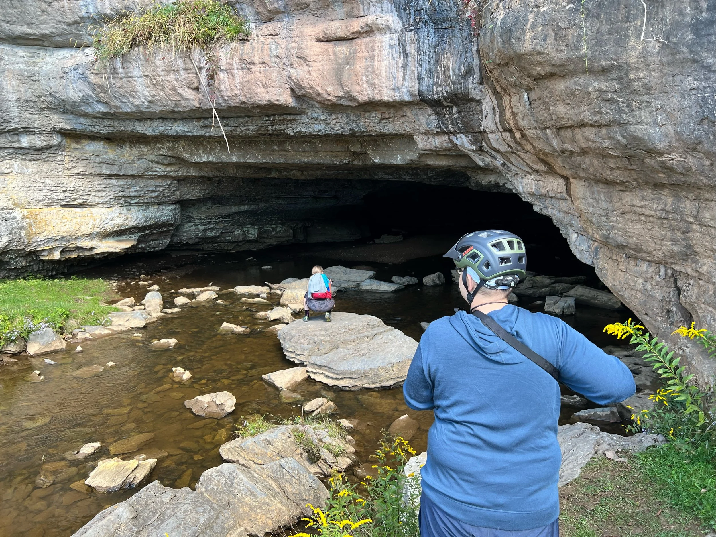
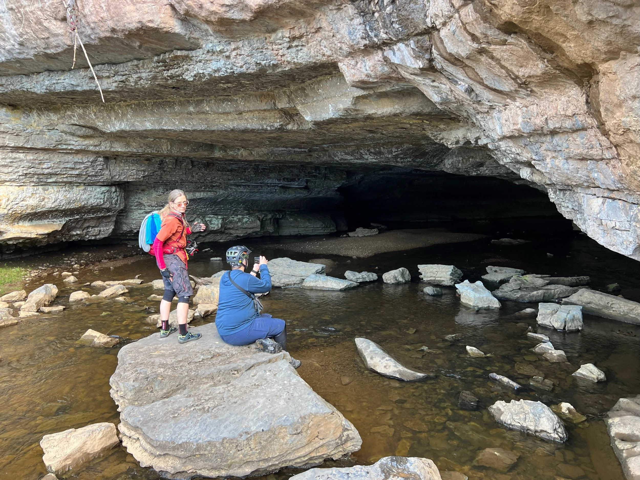
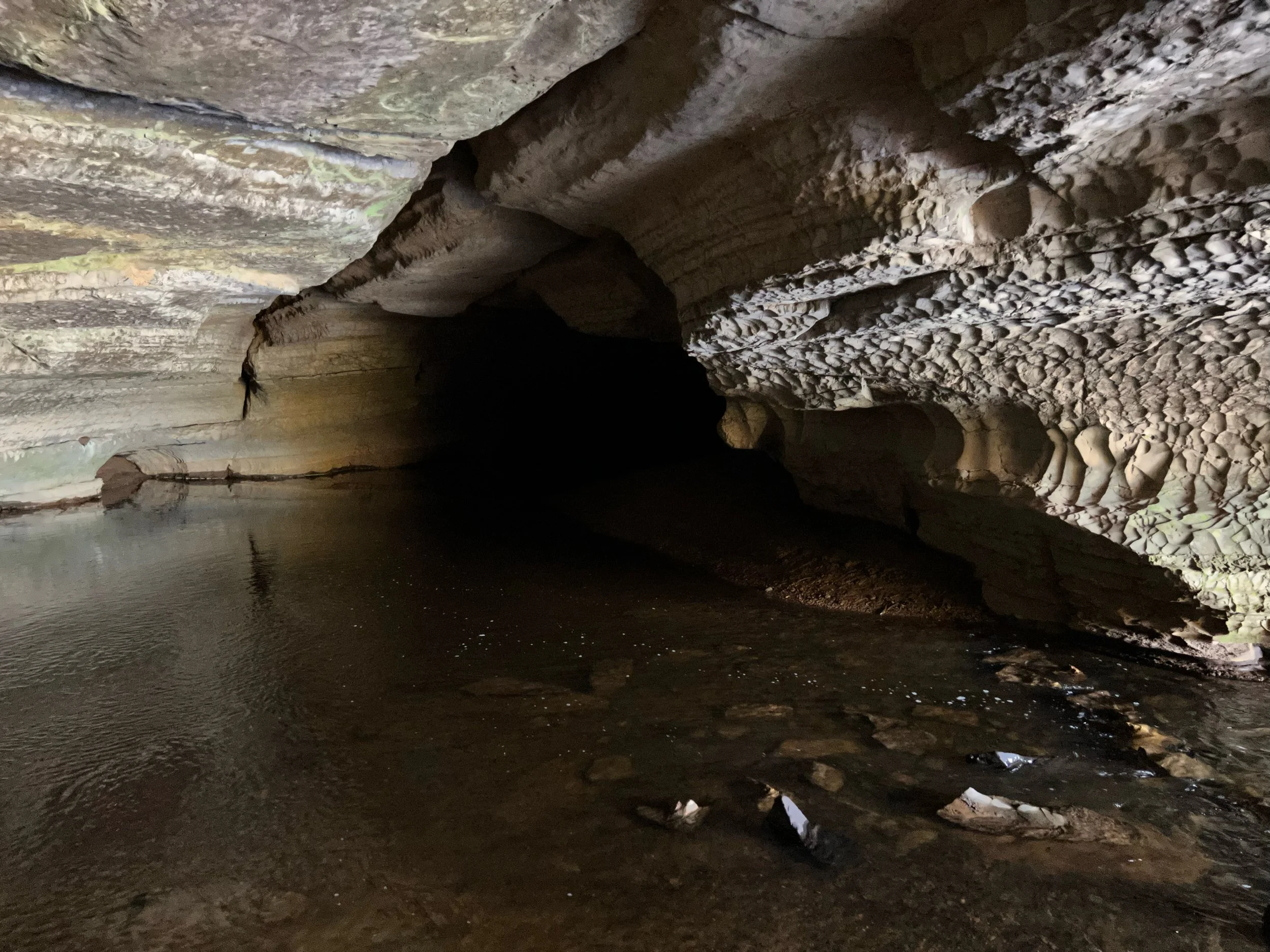
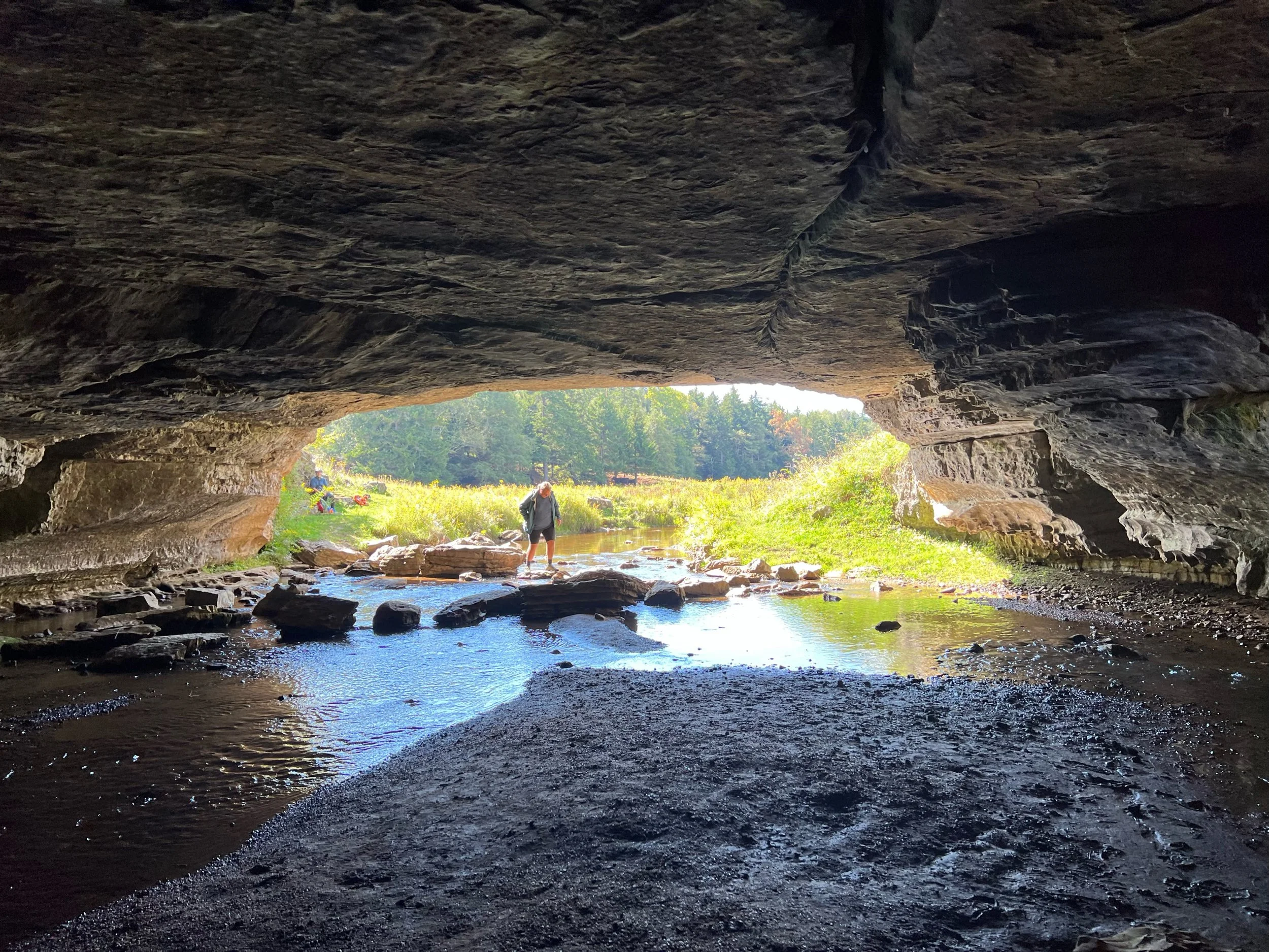
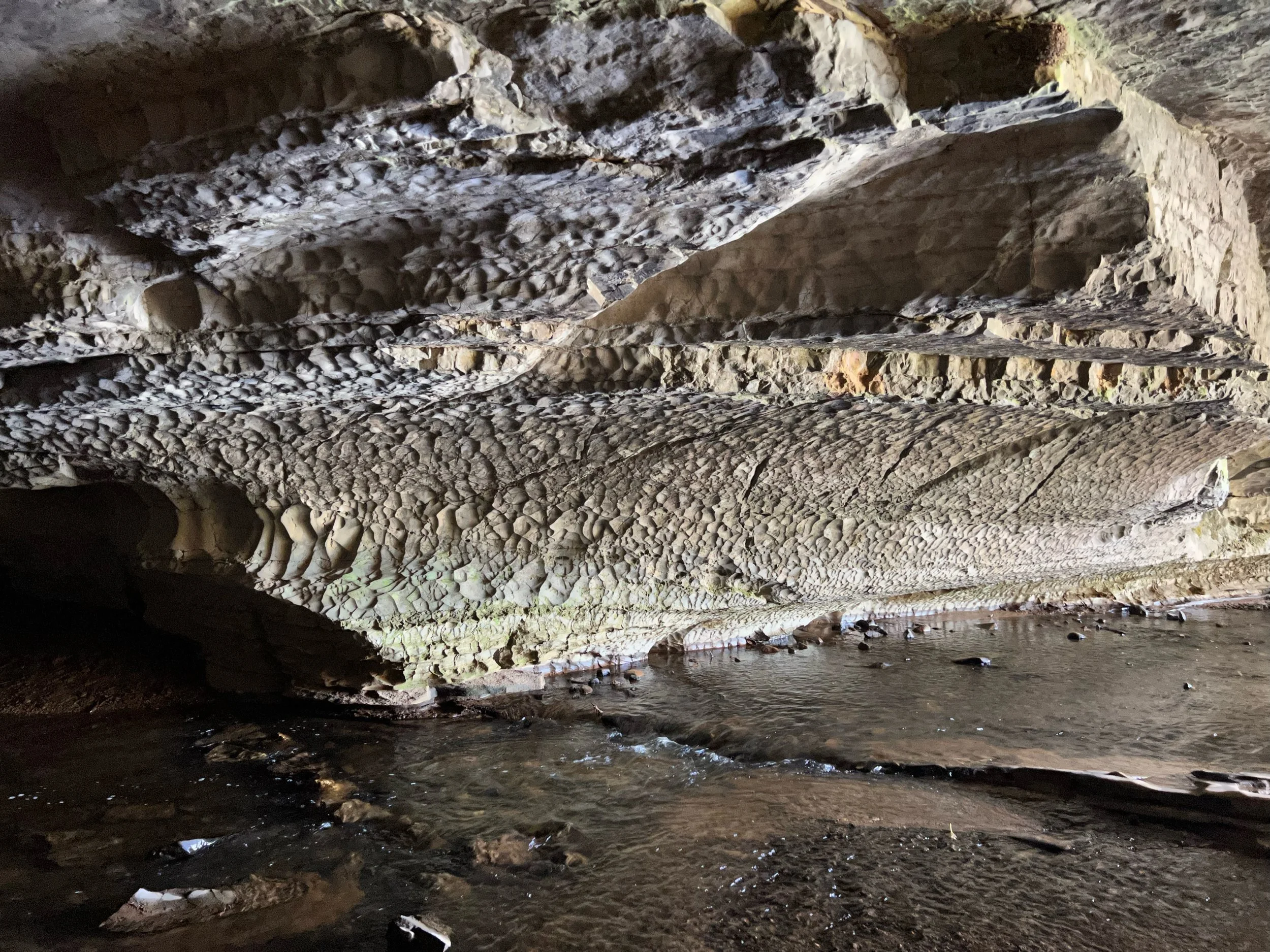
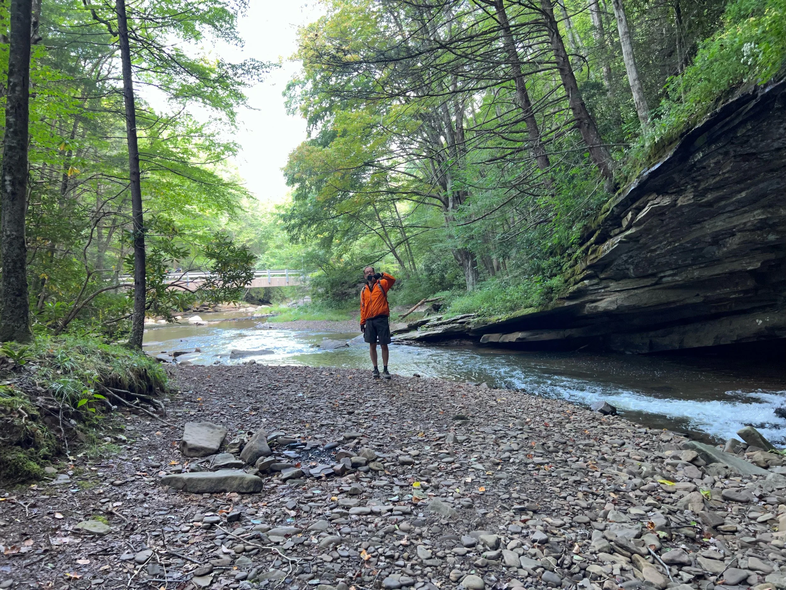
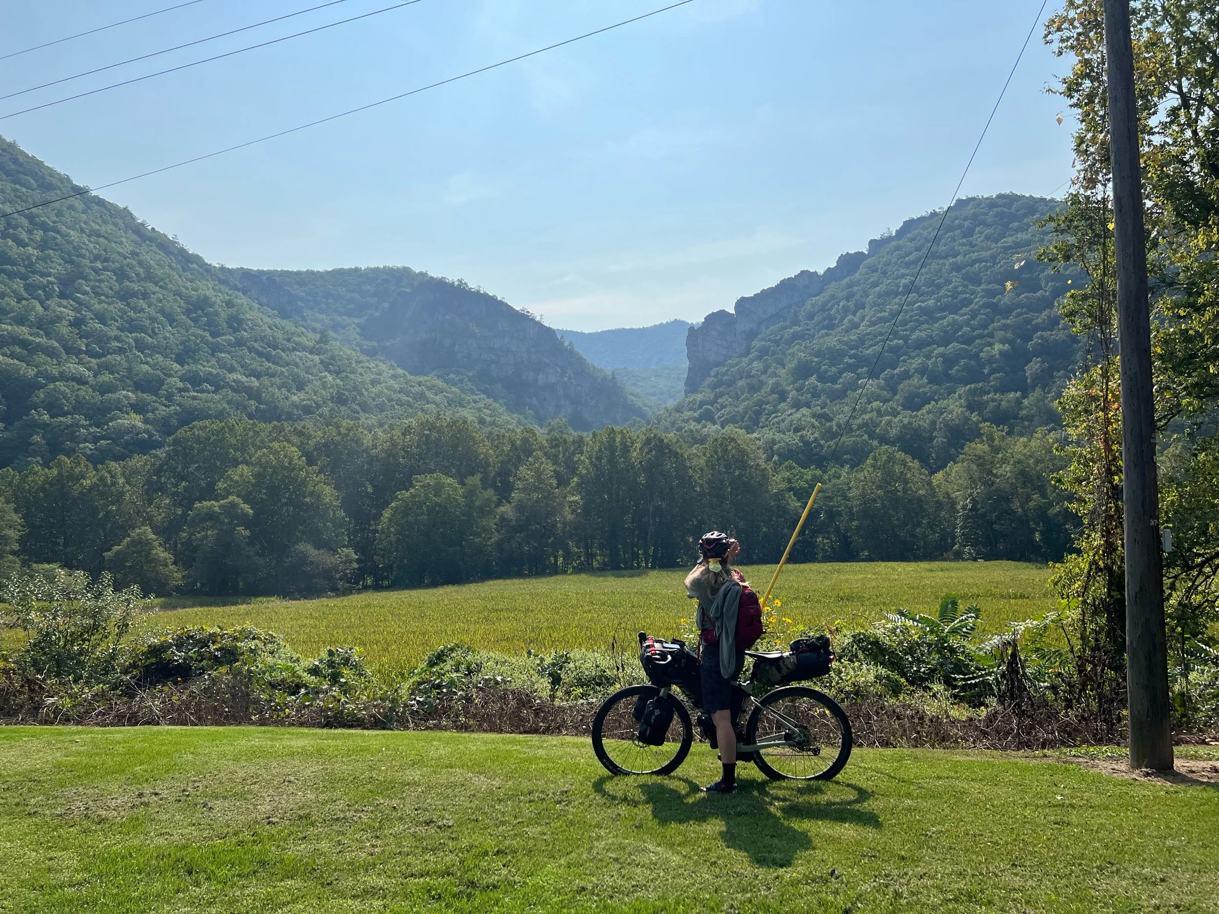
The Sinks of Gandy
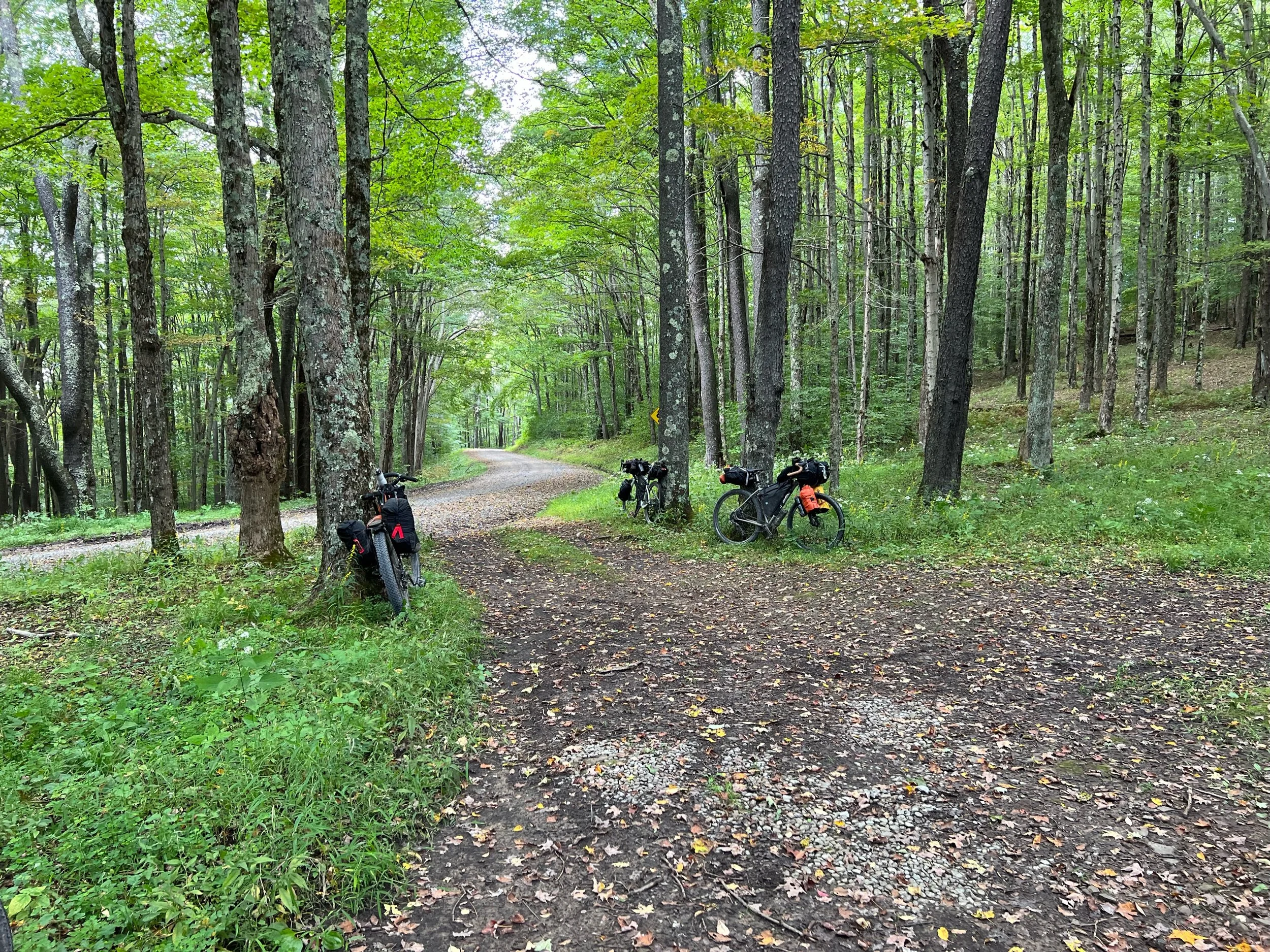
Fresh rough gravel, yay!
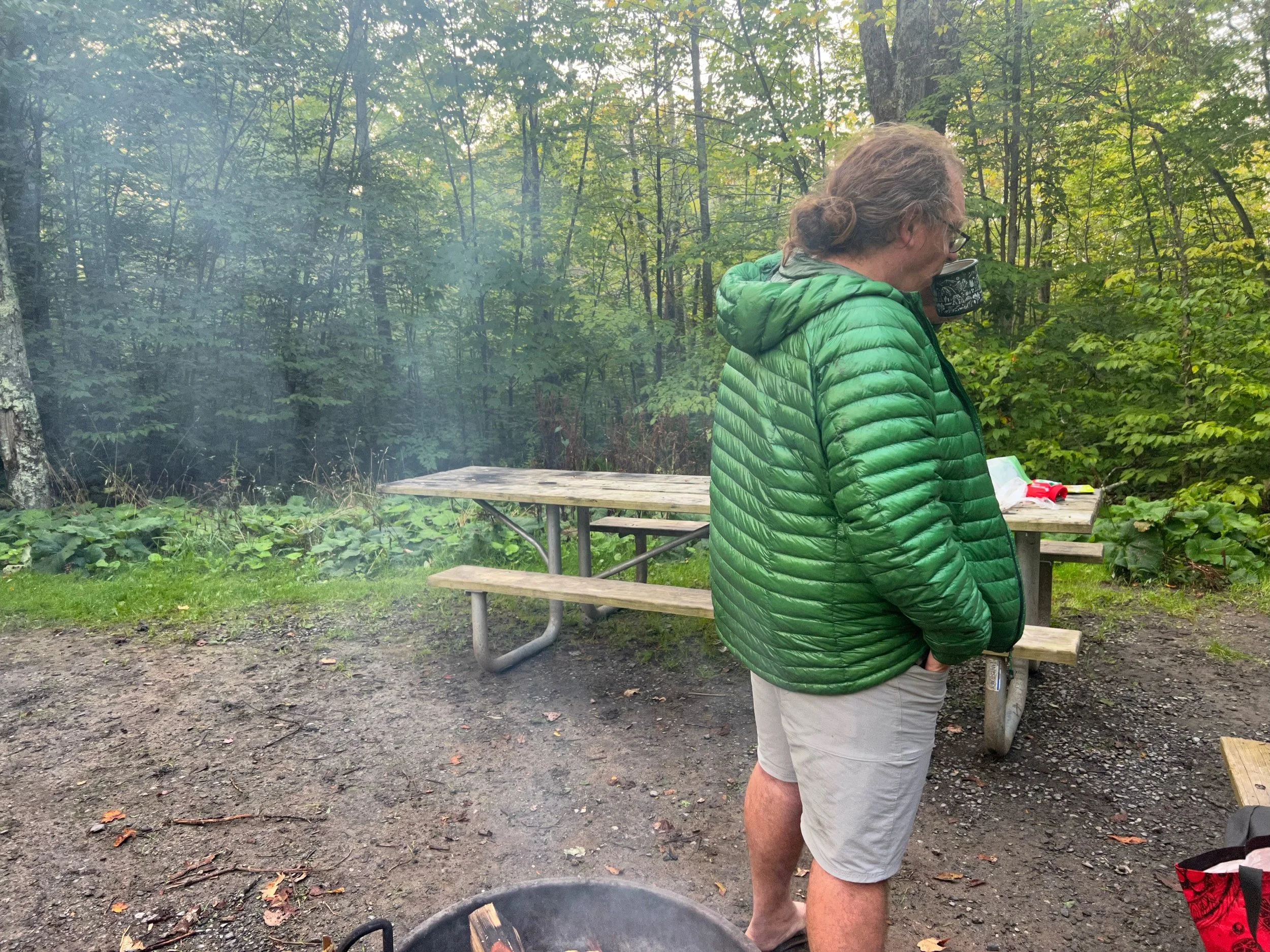
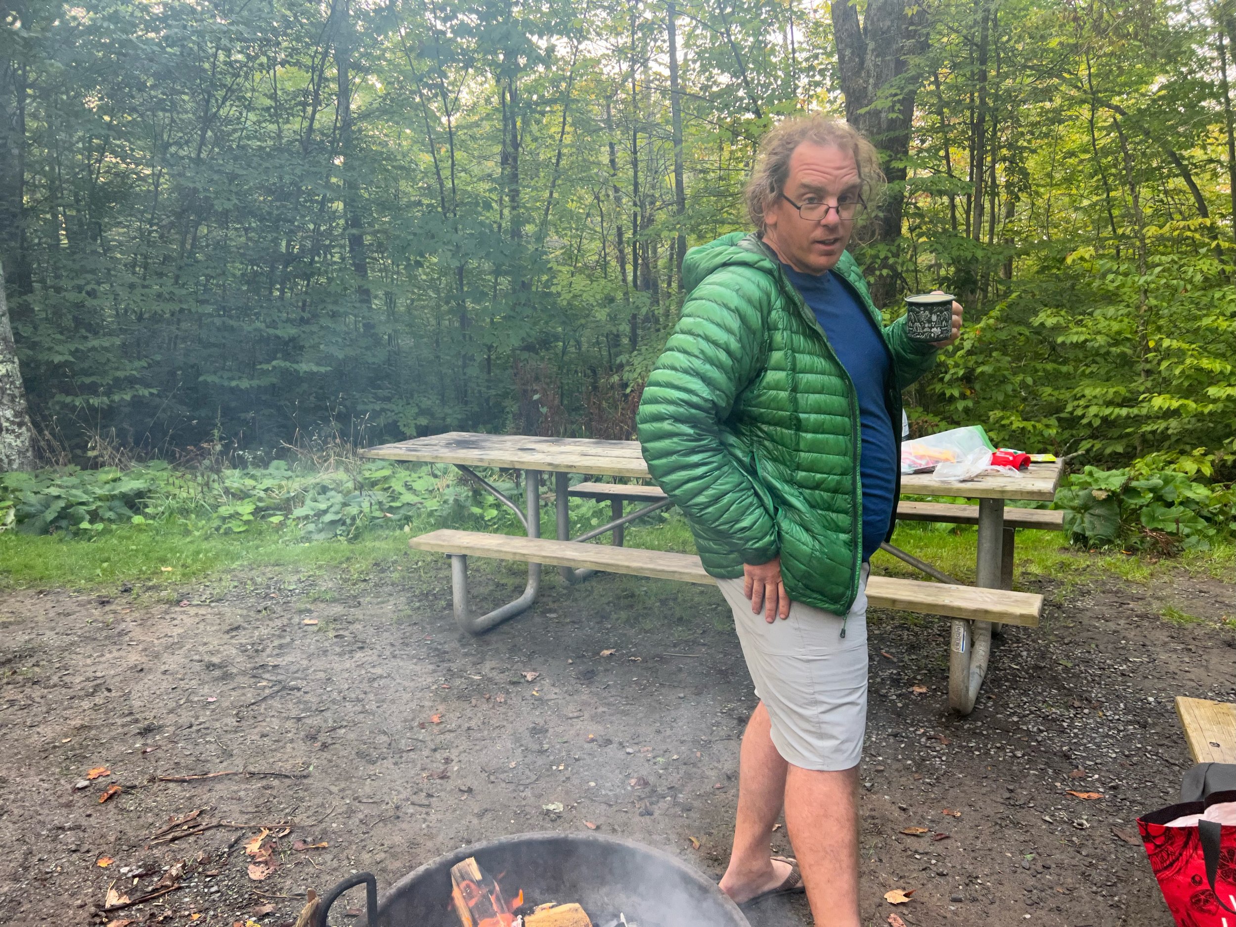
Spruce Knob Lake Campground end
After setting up camp we pulled my brake apart with Tim’s help and tried to clean it. Two of the four pistons were sticky resulting in brake rub for the rest of the trip.
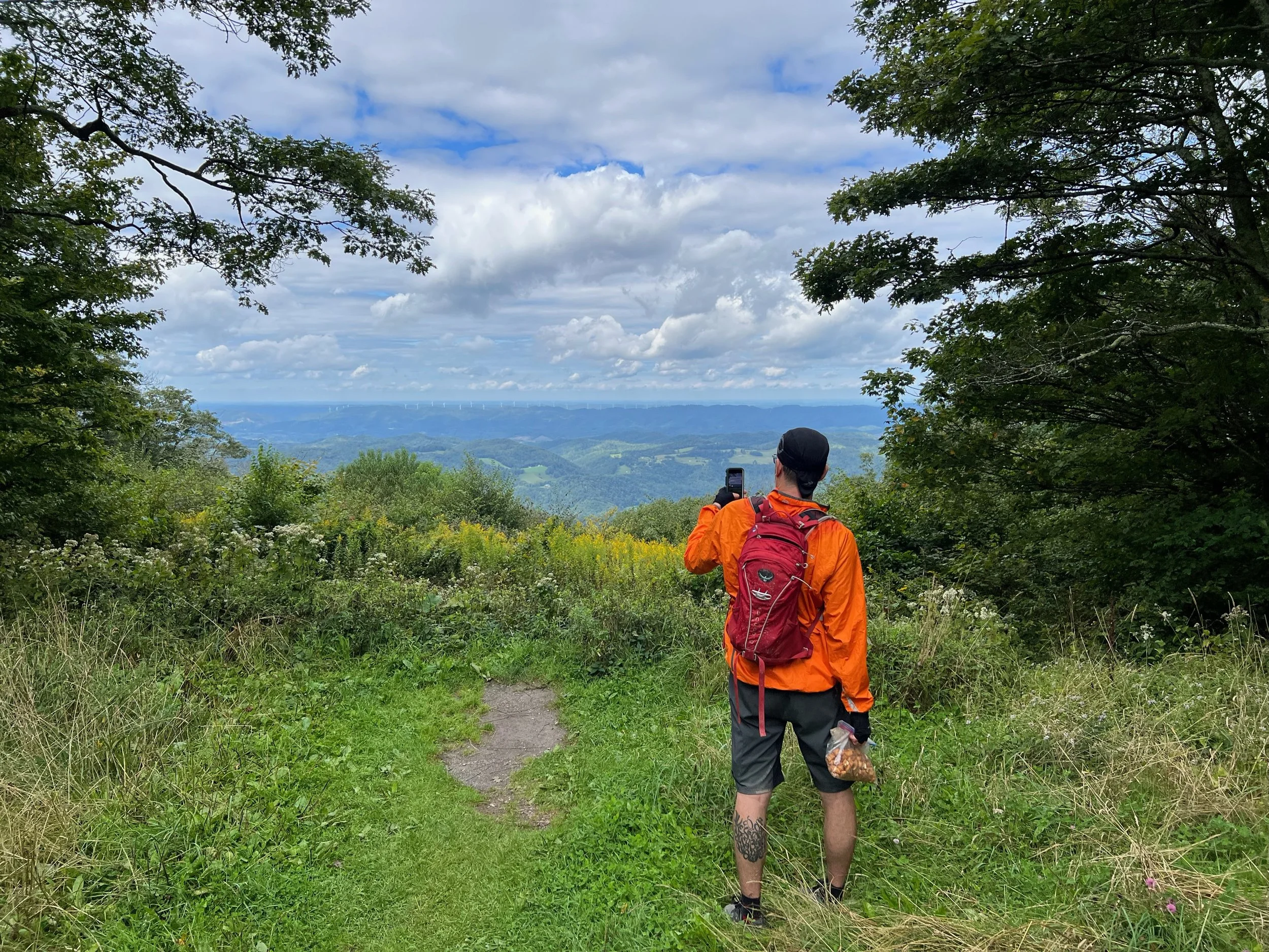
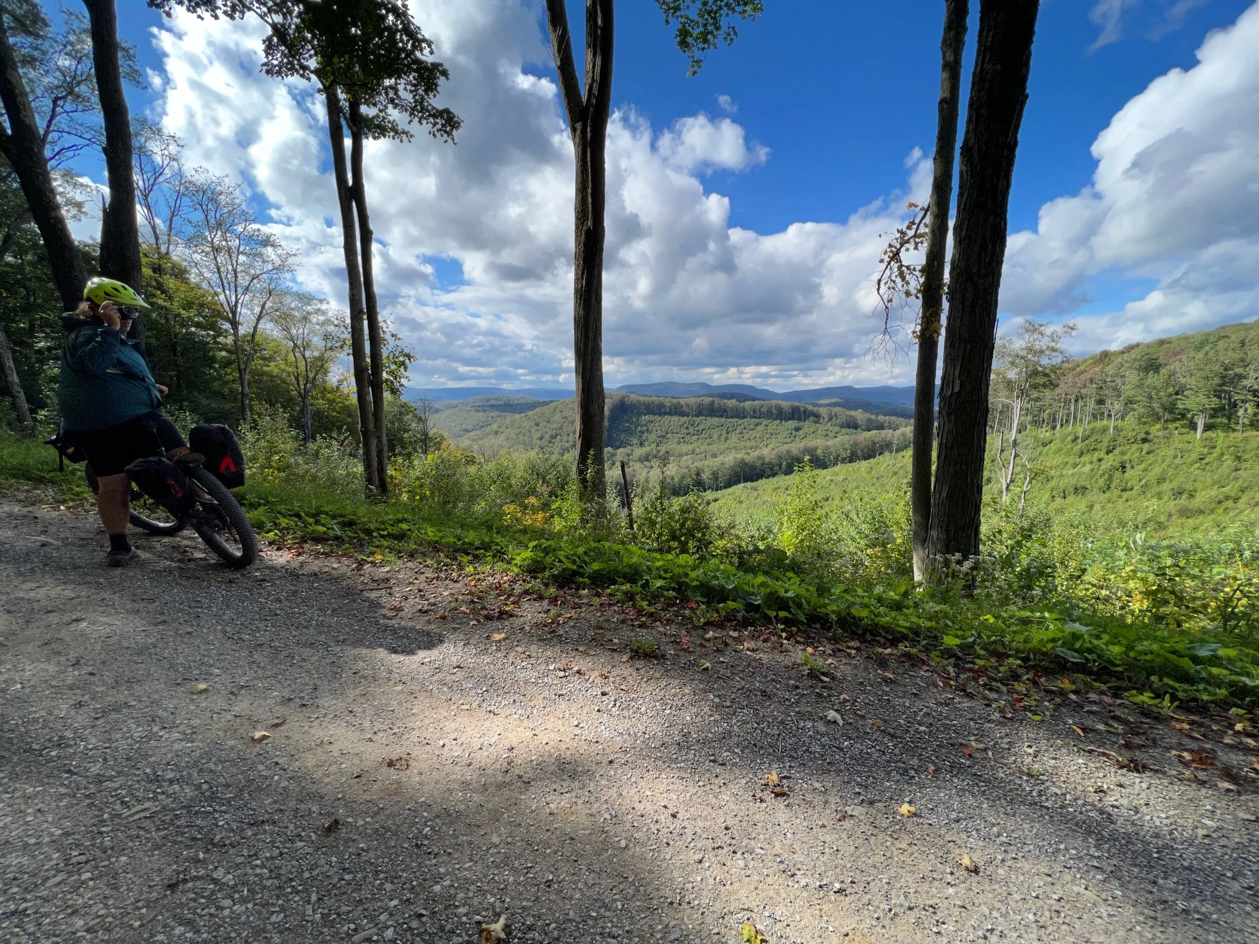
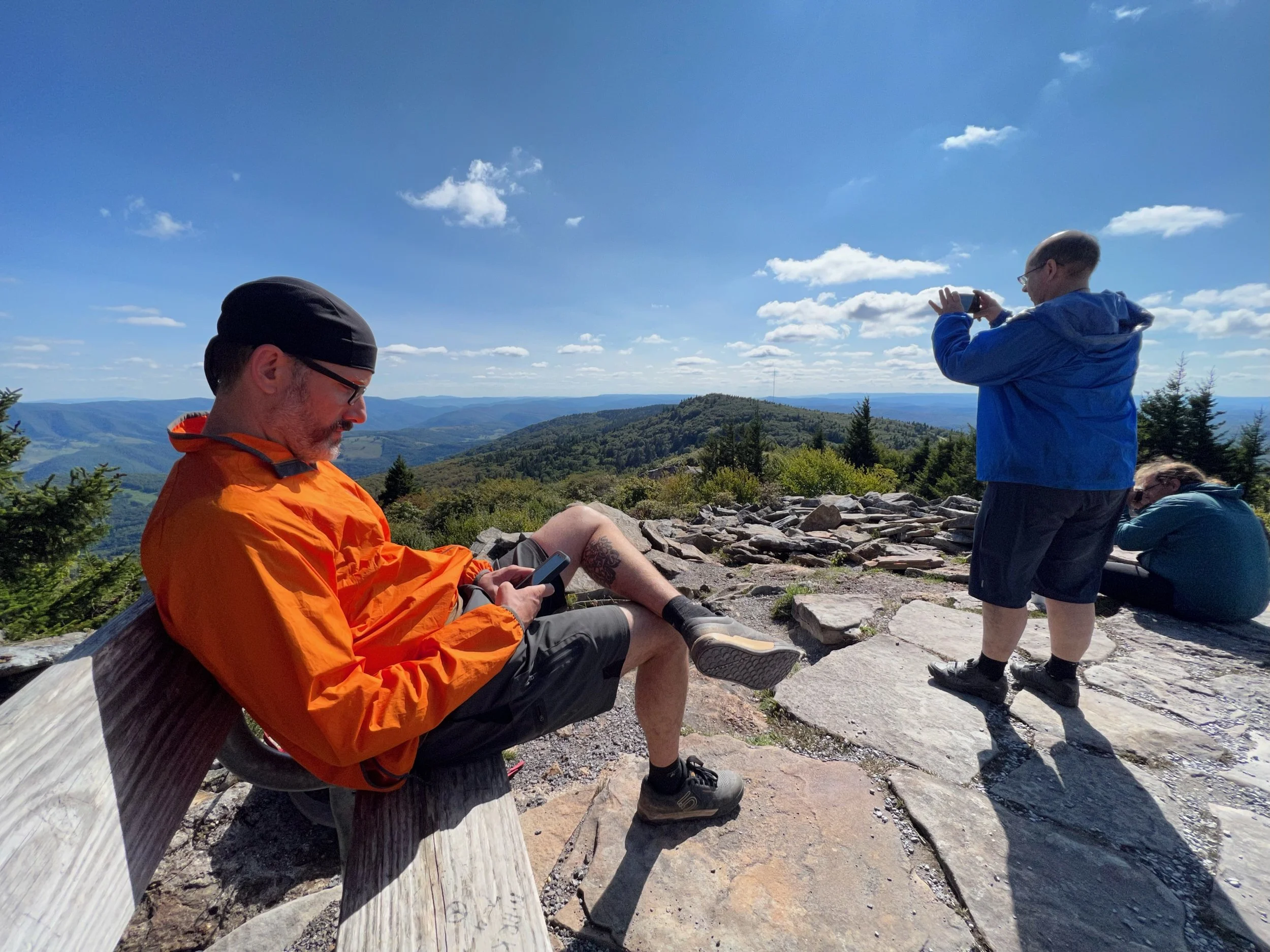
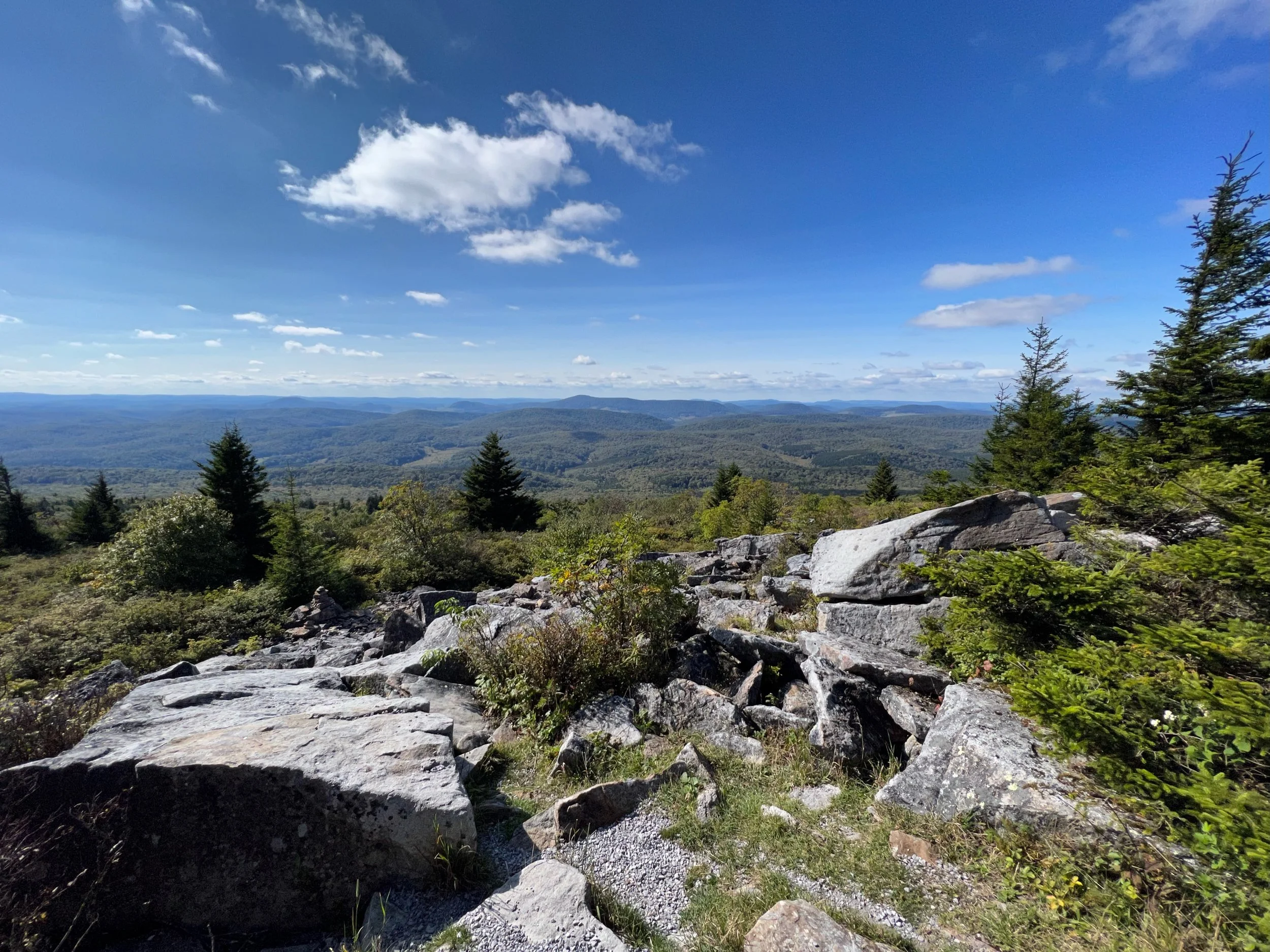
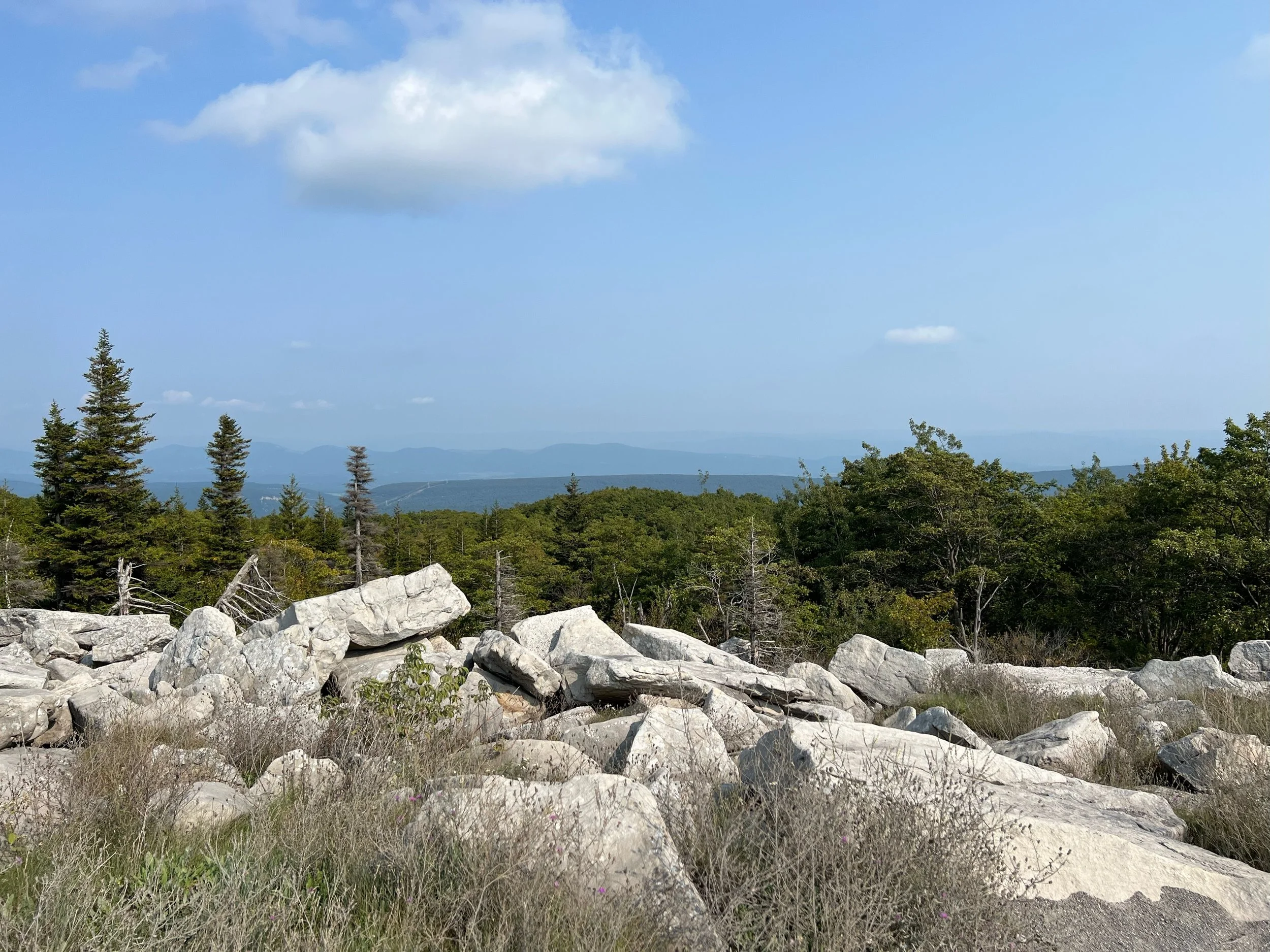
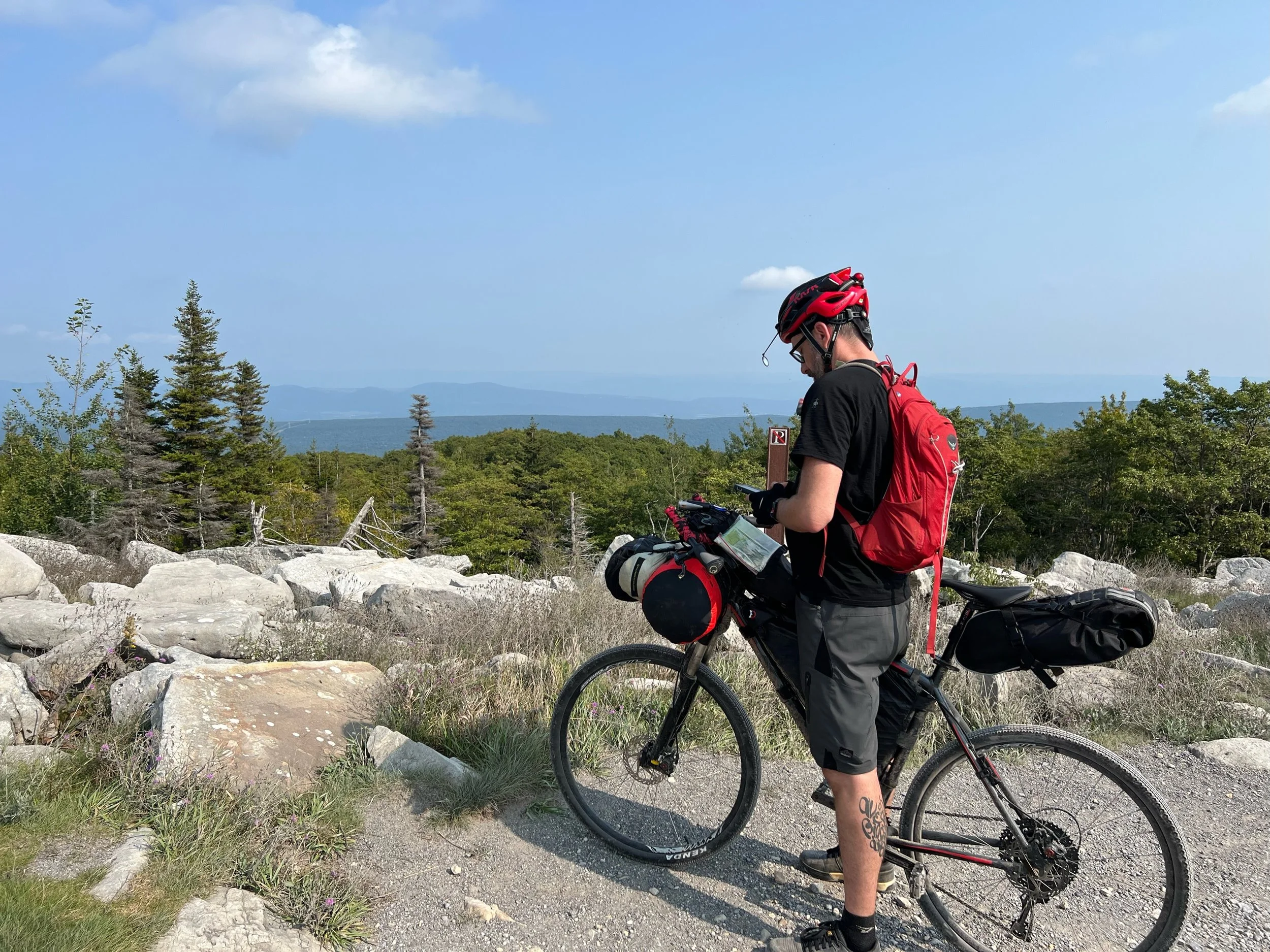
Spruce Knob summit (4863 feet elevation) with fresh rough gravel in many sections, yay!
Spruce Knob overlook and Spruce Knob Glider Launch
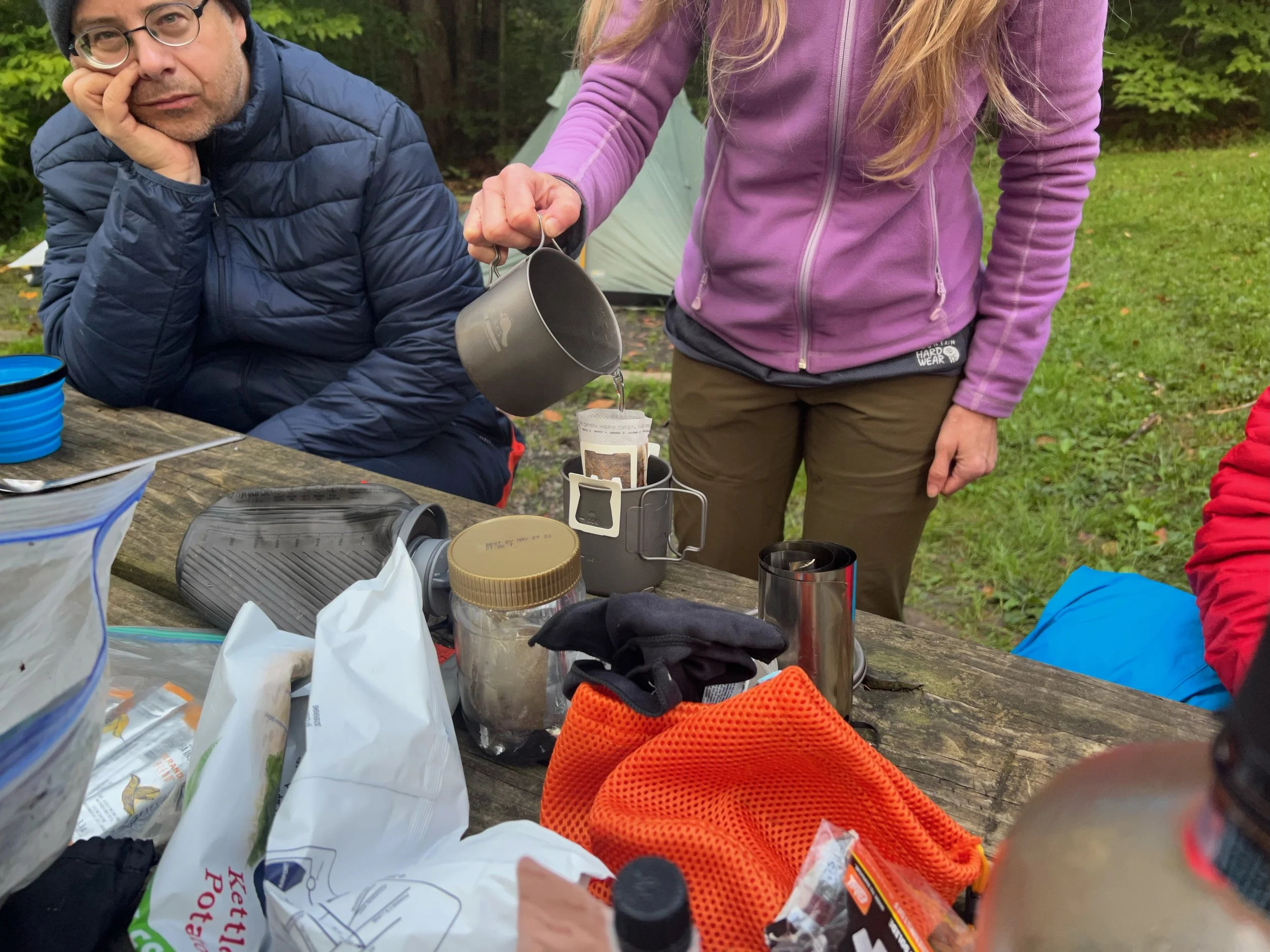
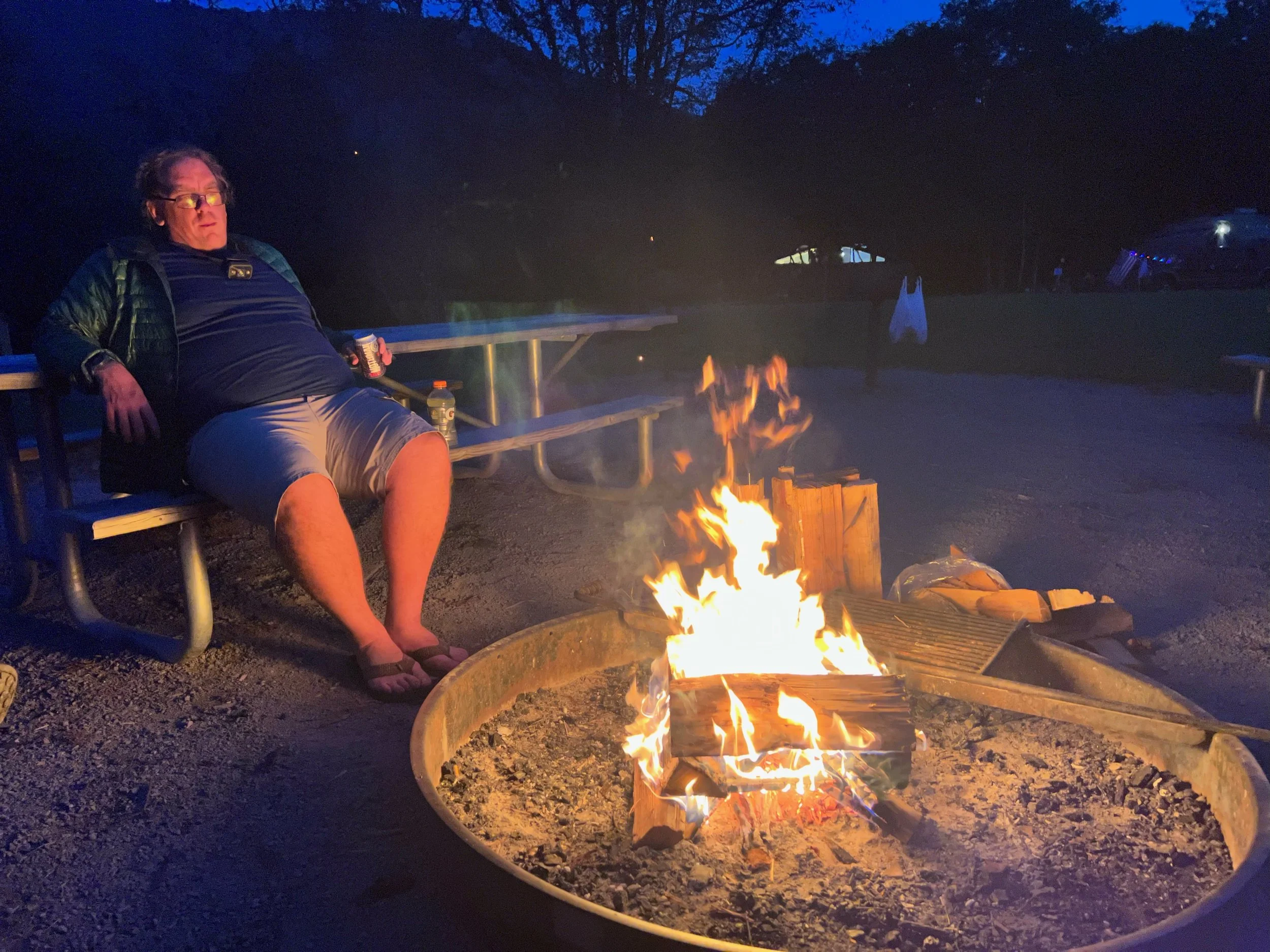
Dinner in camp
Bonfire
Stars were amazing
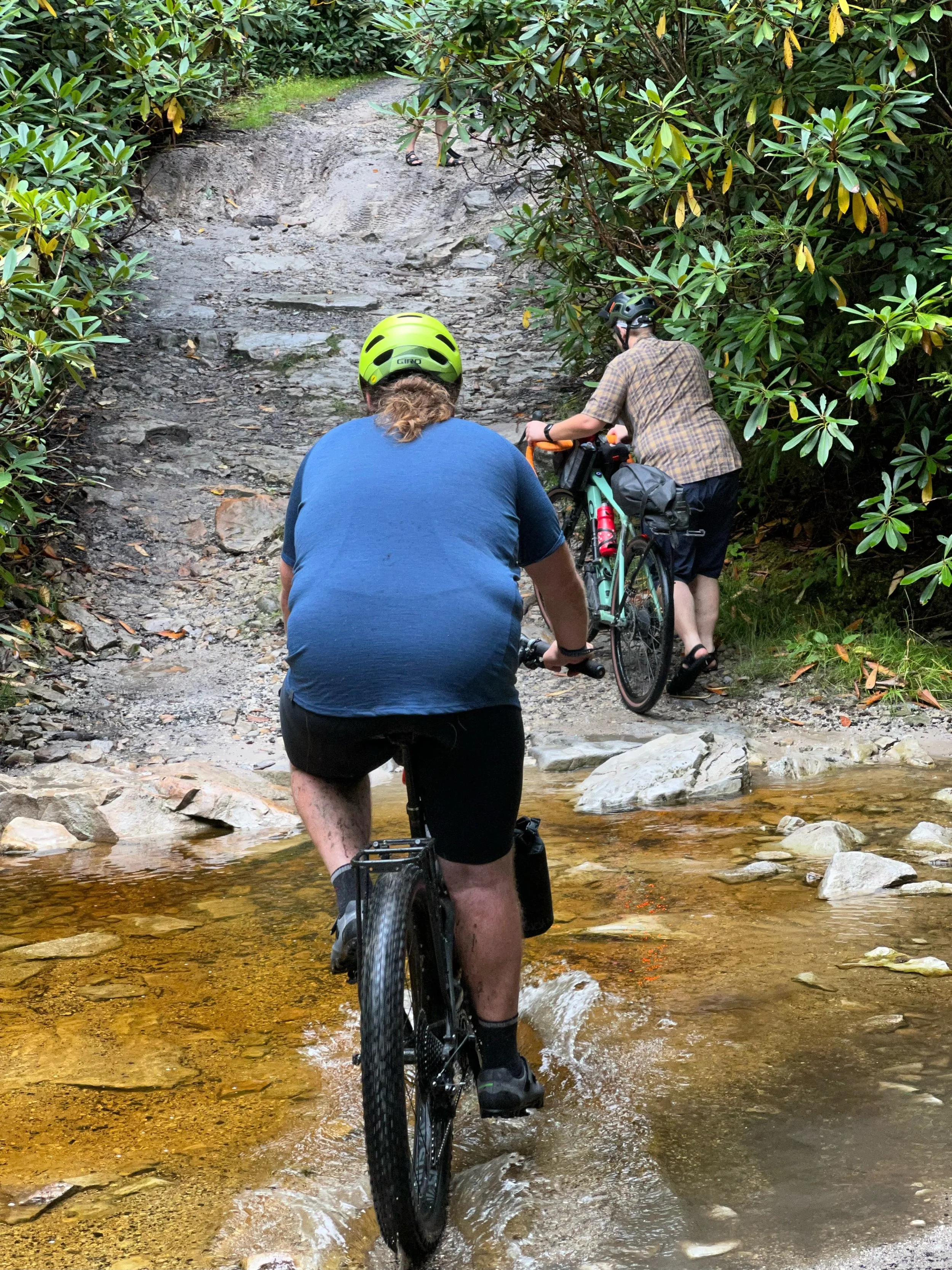
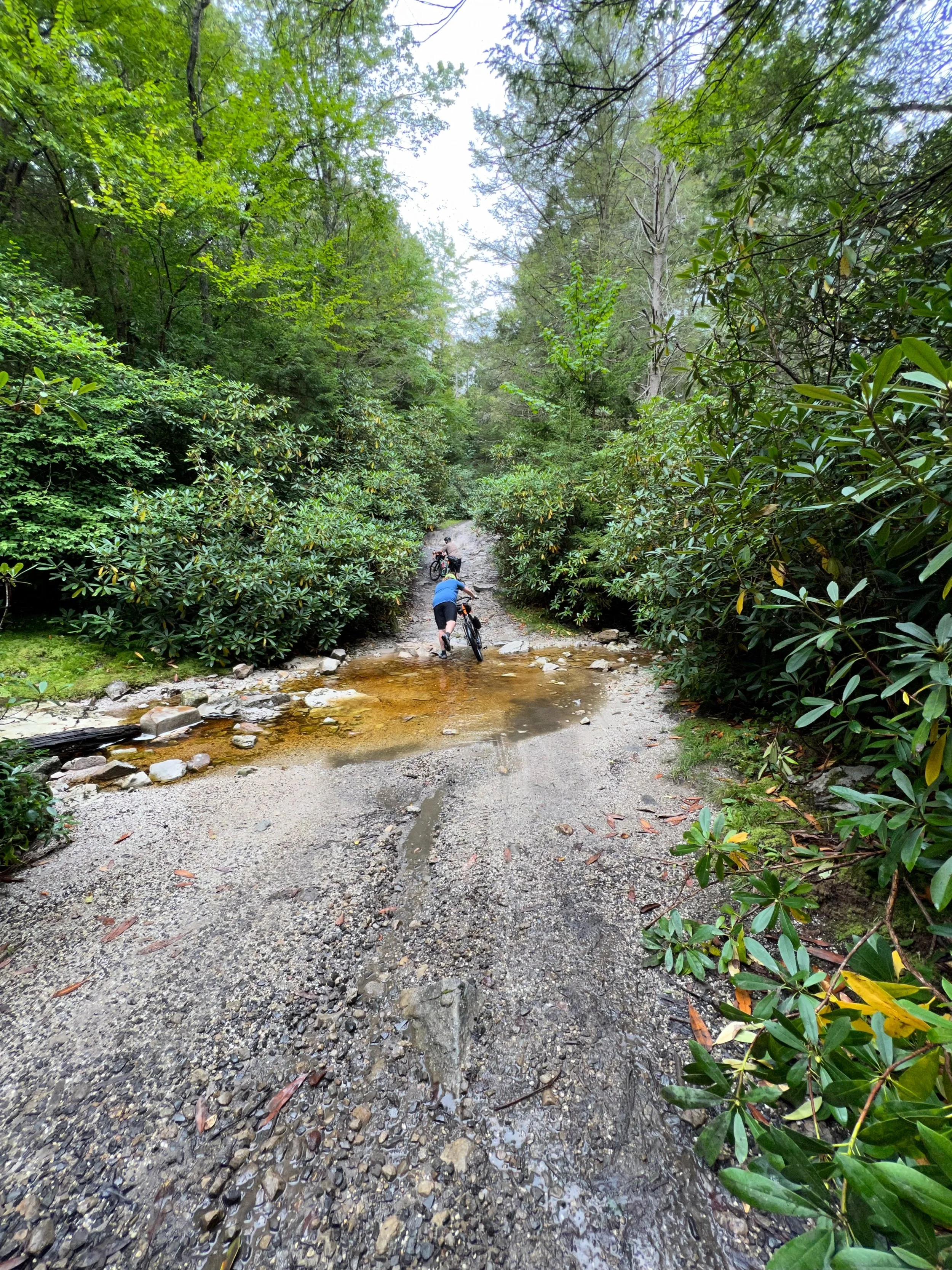
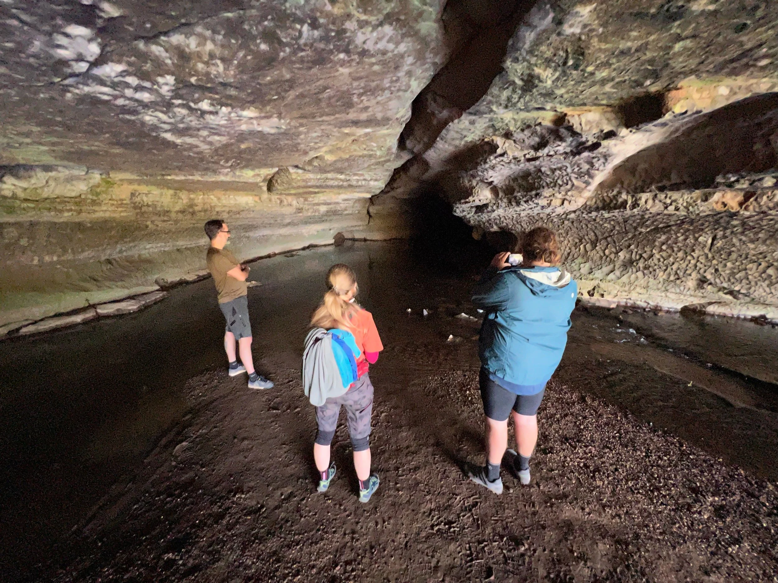
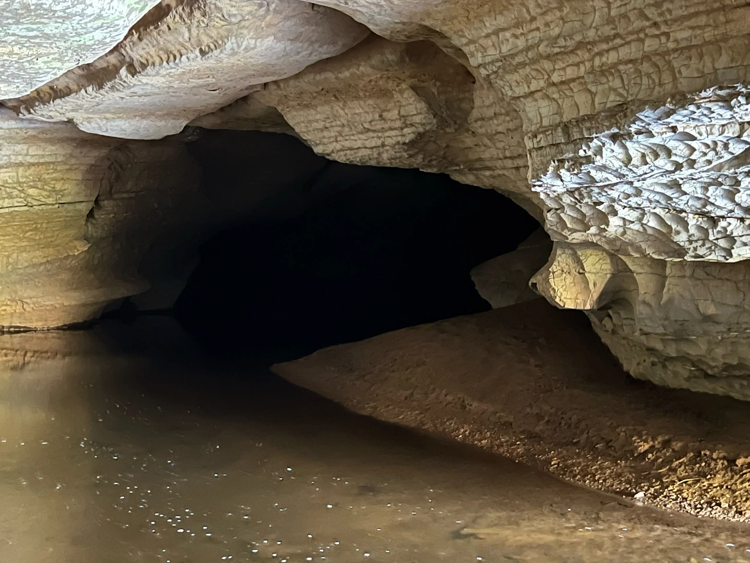
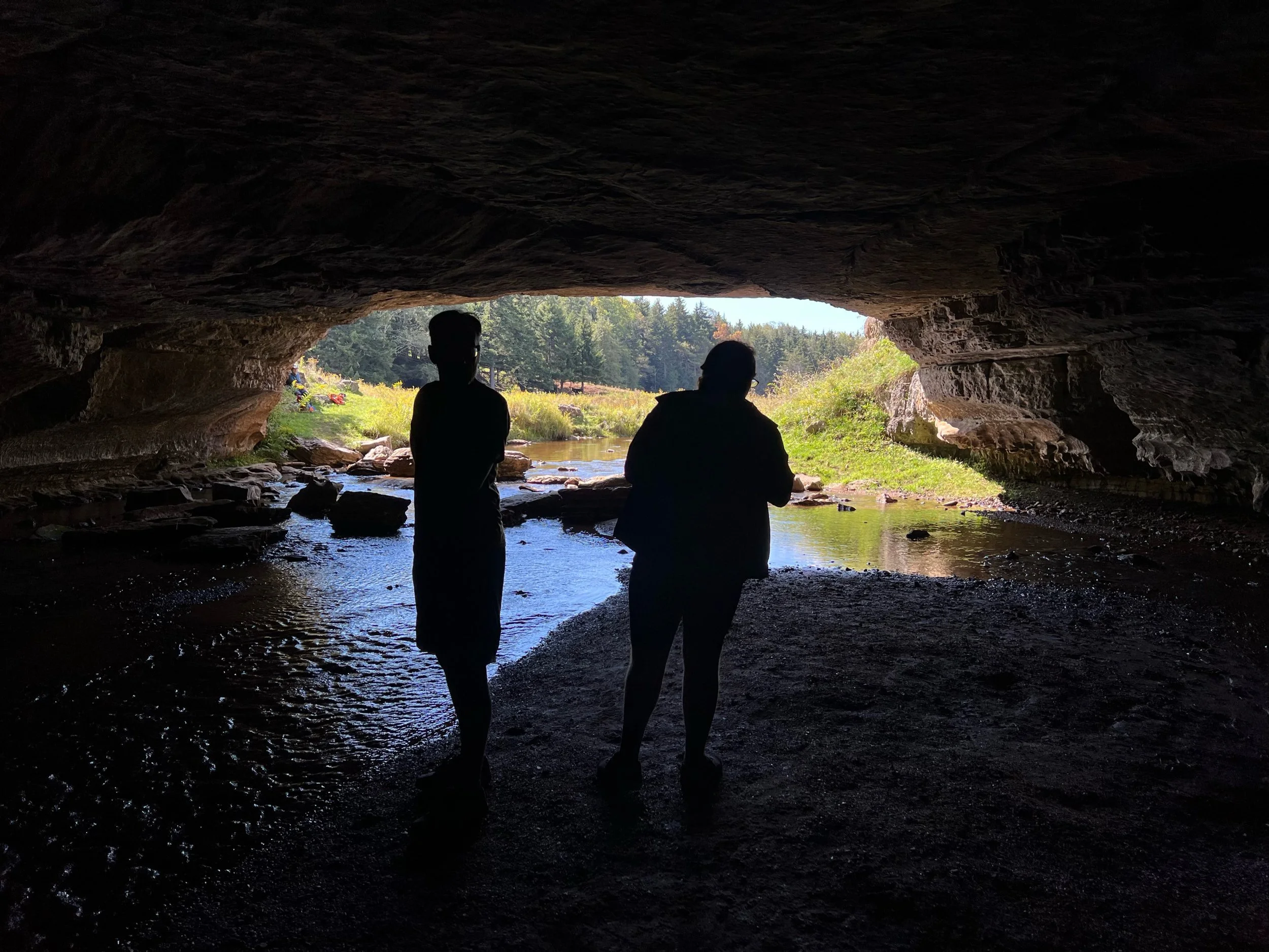
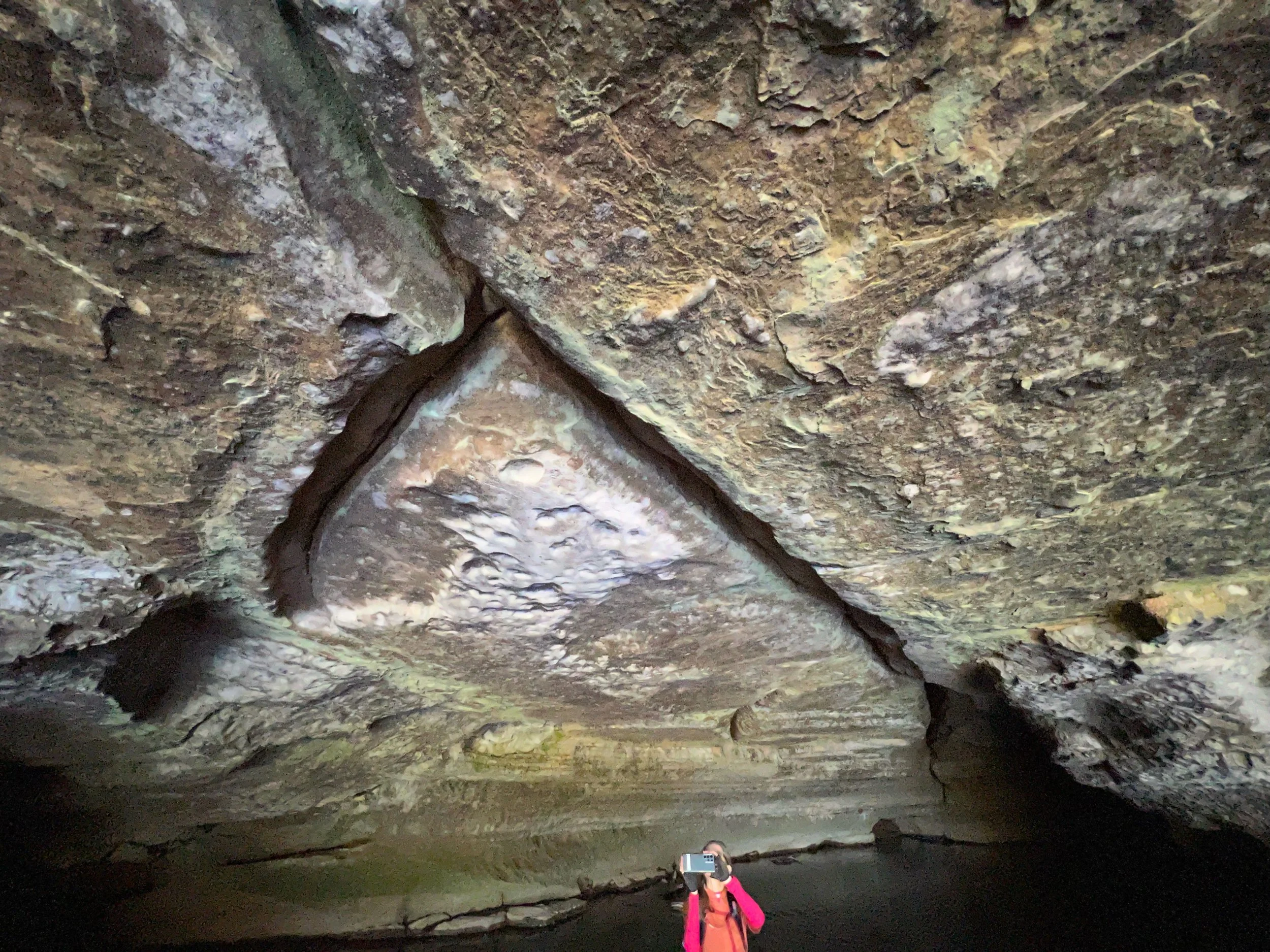
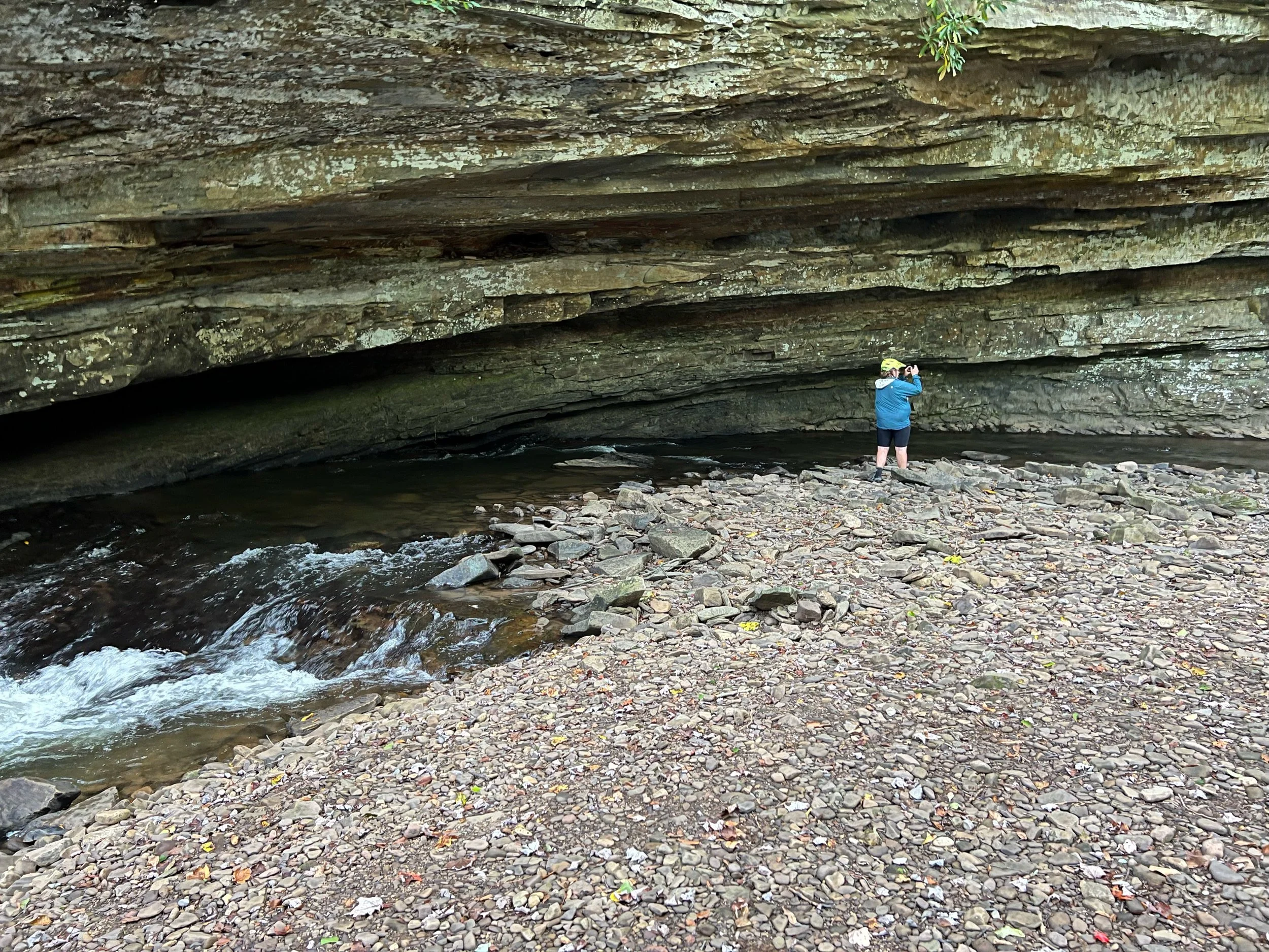
The Sinks of Gandy
From wikipedia: The Sinks are a natural tunnel accommodating Gandy Creek, a tributary of Dry Fork, for about 3,000 feet (915 meters) as it passes under a spur of Yokum Knob to reemerge on the opposite side of Randolph County Route 40 (Dry Fork Road). The southern (upstream) entrance to the Sinks, about 30 feet (9.1 m) wide and 15 feet (4.6 m) high, is in a low ledge of limestone in a large depressed meadow. It consists of a simple longitudinal passage, from 4 to 35 feet (11 m) high, with a few minor side passages, not much apparent from the main passage. The main cave passage averages 40 to 60 feet (18 m) wide, but in some places up to 100 feet (30 m) wide. In some sections the stream occupies the entire floor of the passage, but in other sections it is confined to a narrow trench. The northern (downstream) entrance is offset about 100 feet (30 m) to the east of the stream channel, which exits under some boulders, making a second (wet) avenue of egress.
From wikipedia: Spruce Mountain, located in eastern West Virginia, is the highest ridge of the Allegheny Mountains. The whale-backed ridge extends for only 16 miles (26 km) from northeast to southwest, but several of its peaks exceed 4,500 feet (1,400 m) in elevation. The summit, Spruce Knob (4863 ft; 1482 m),[1] is the highest Allegheny Mountain point both in the state and the entire range, which spans four states.


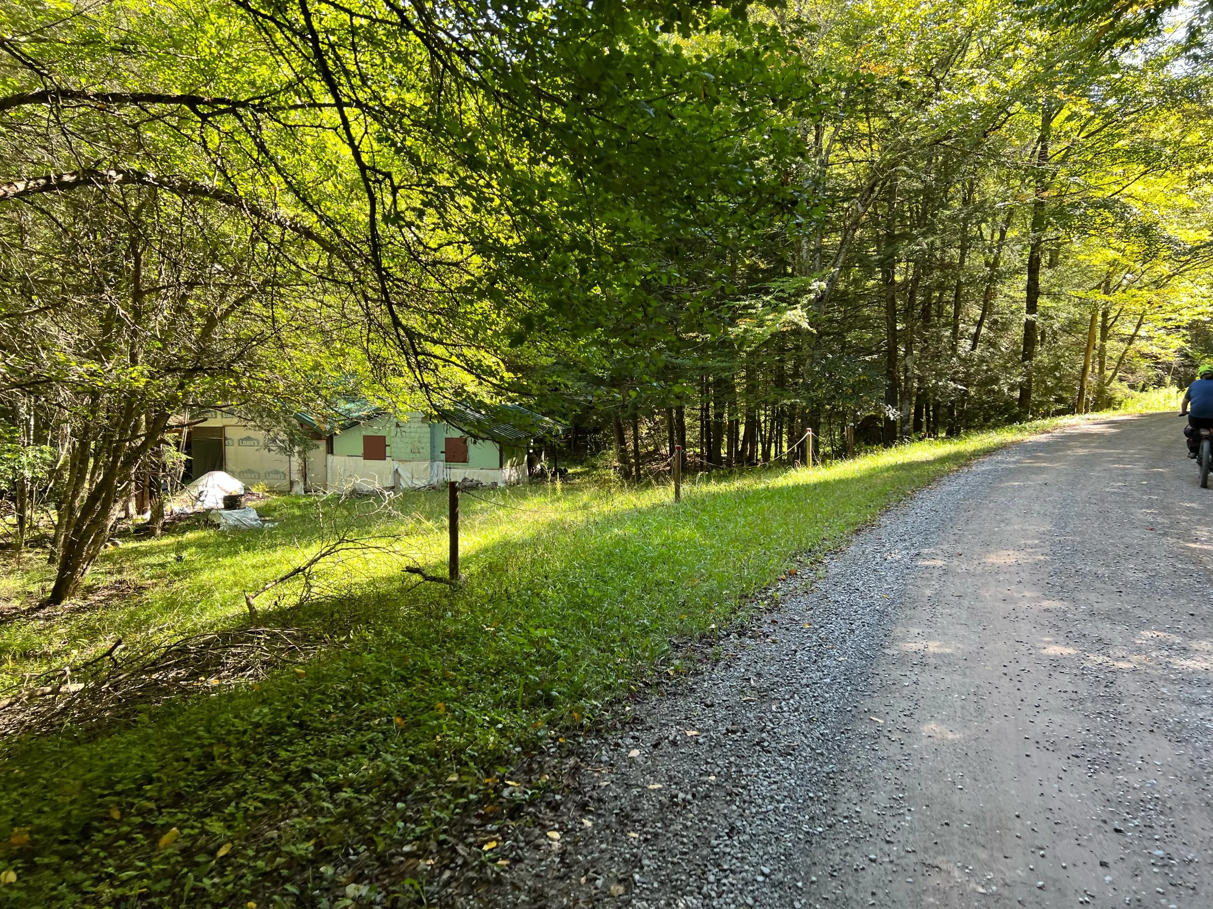


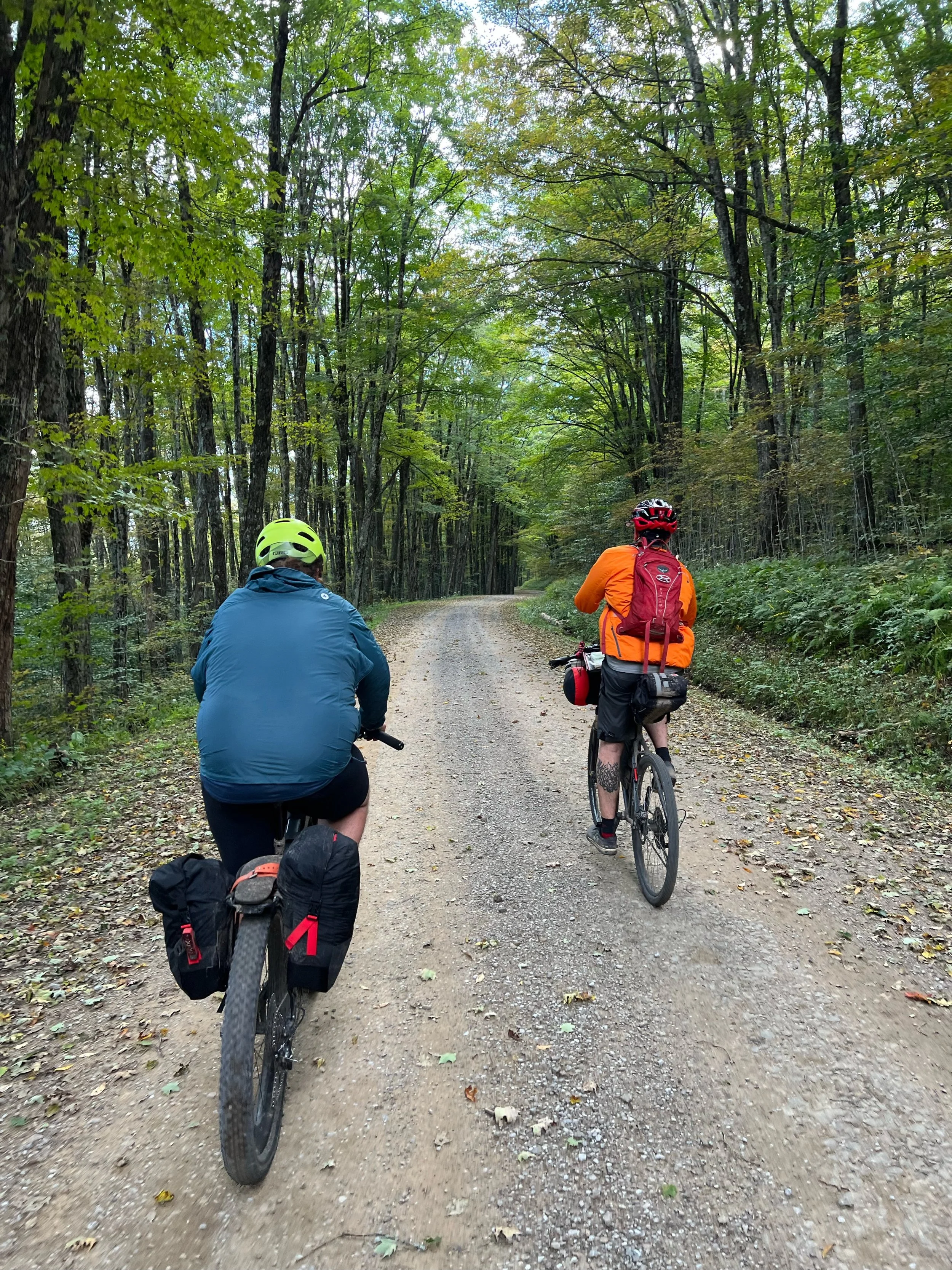
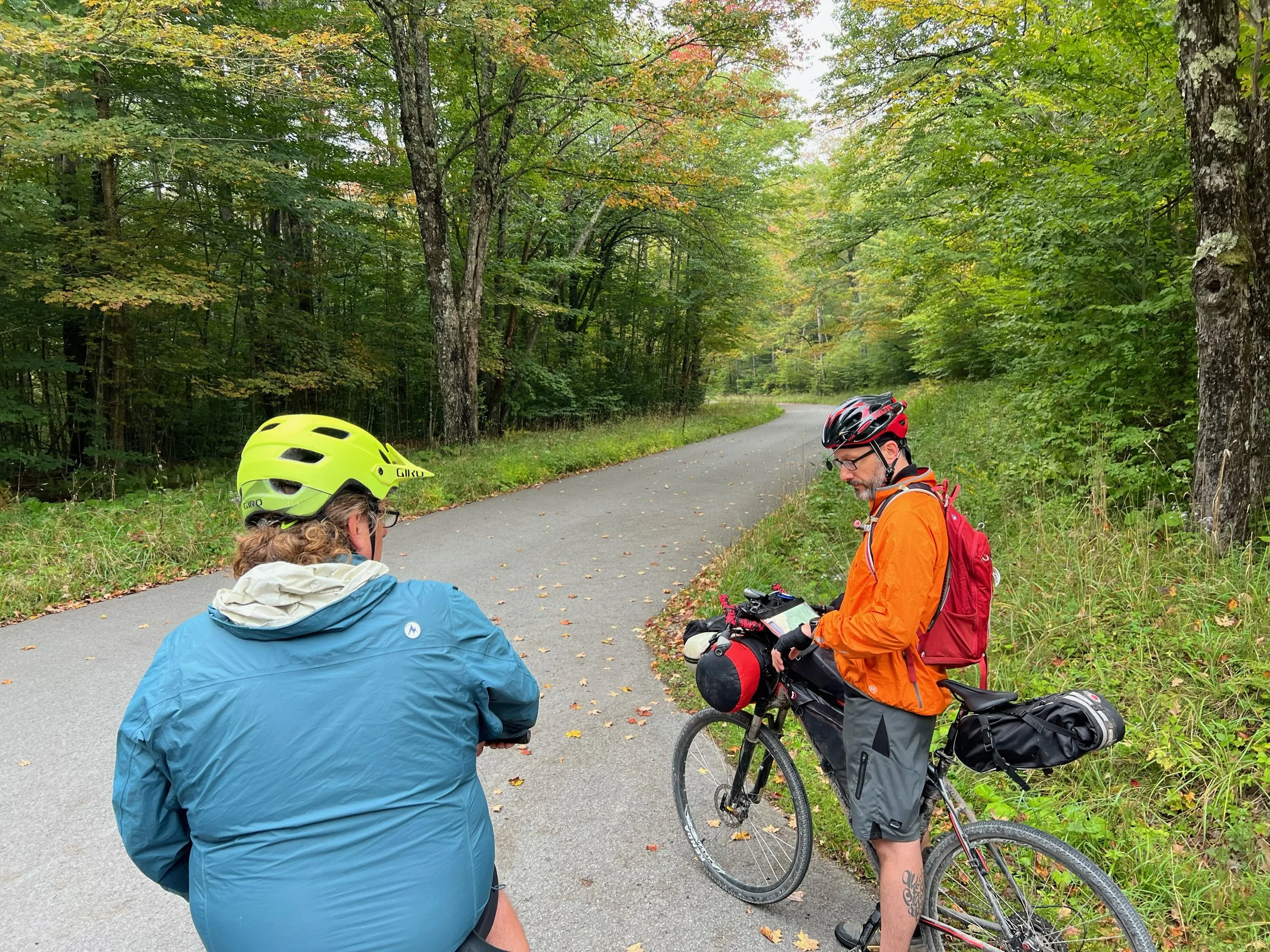
Spruce Knob Lake Campground to Seneca Shadows Campground
Highlights
Warmer overnight and eerily quiet
Teresa saw a short tail cat when she went to the restroom in the dark. Bobcat?
Rough gravel at start
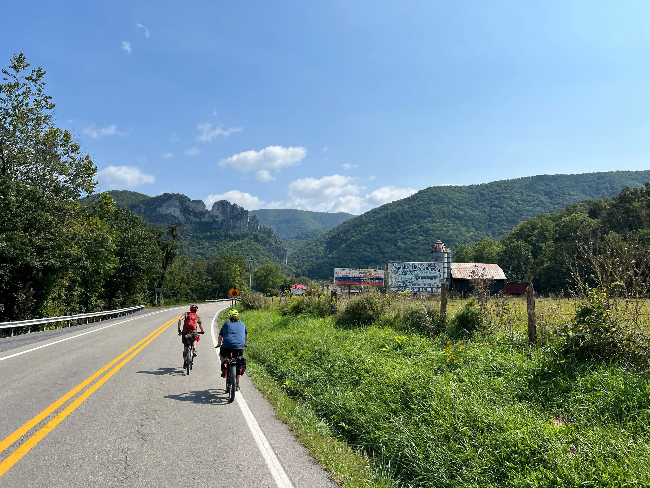
13 mile downhill to Whitmer
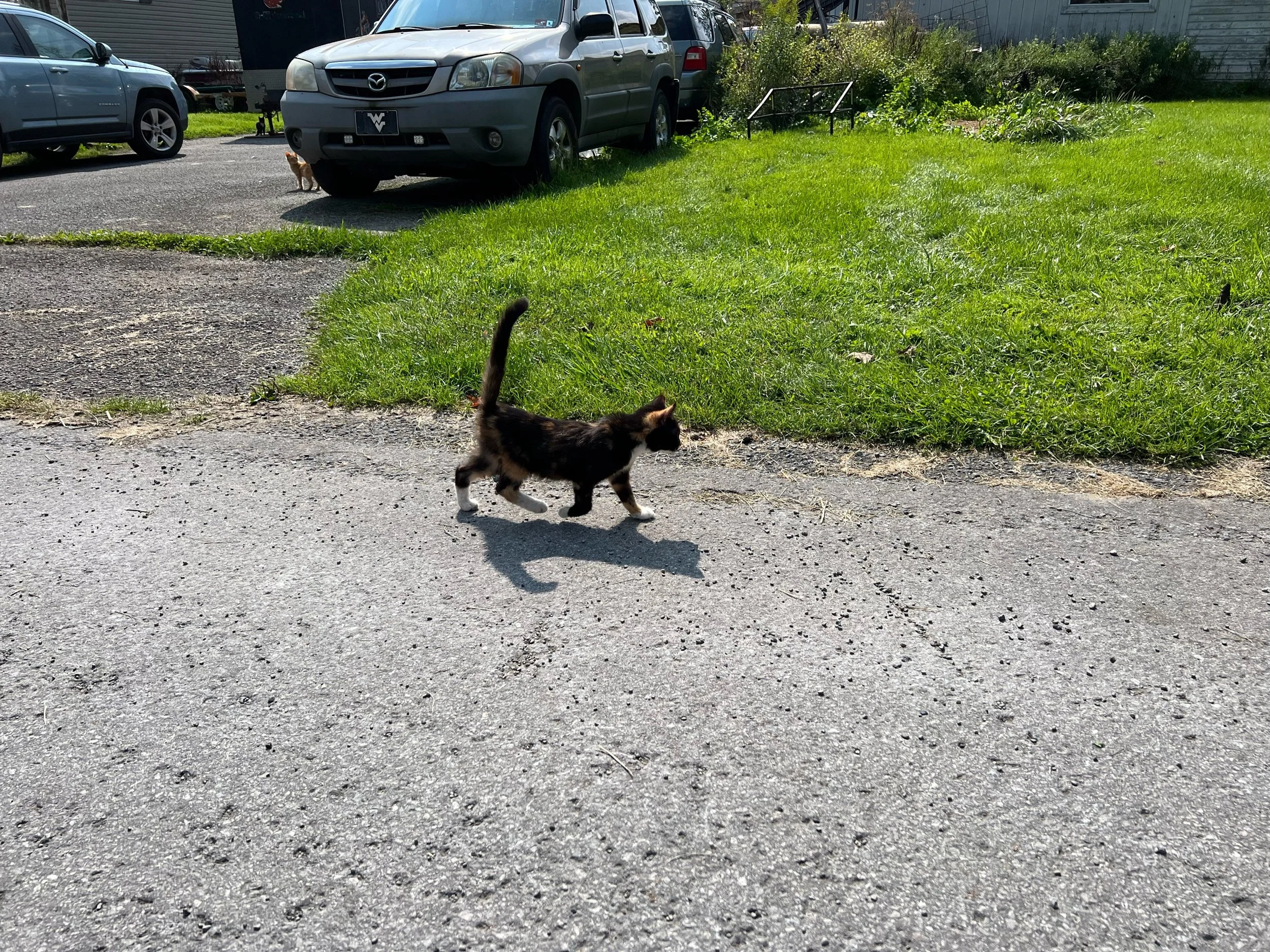
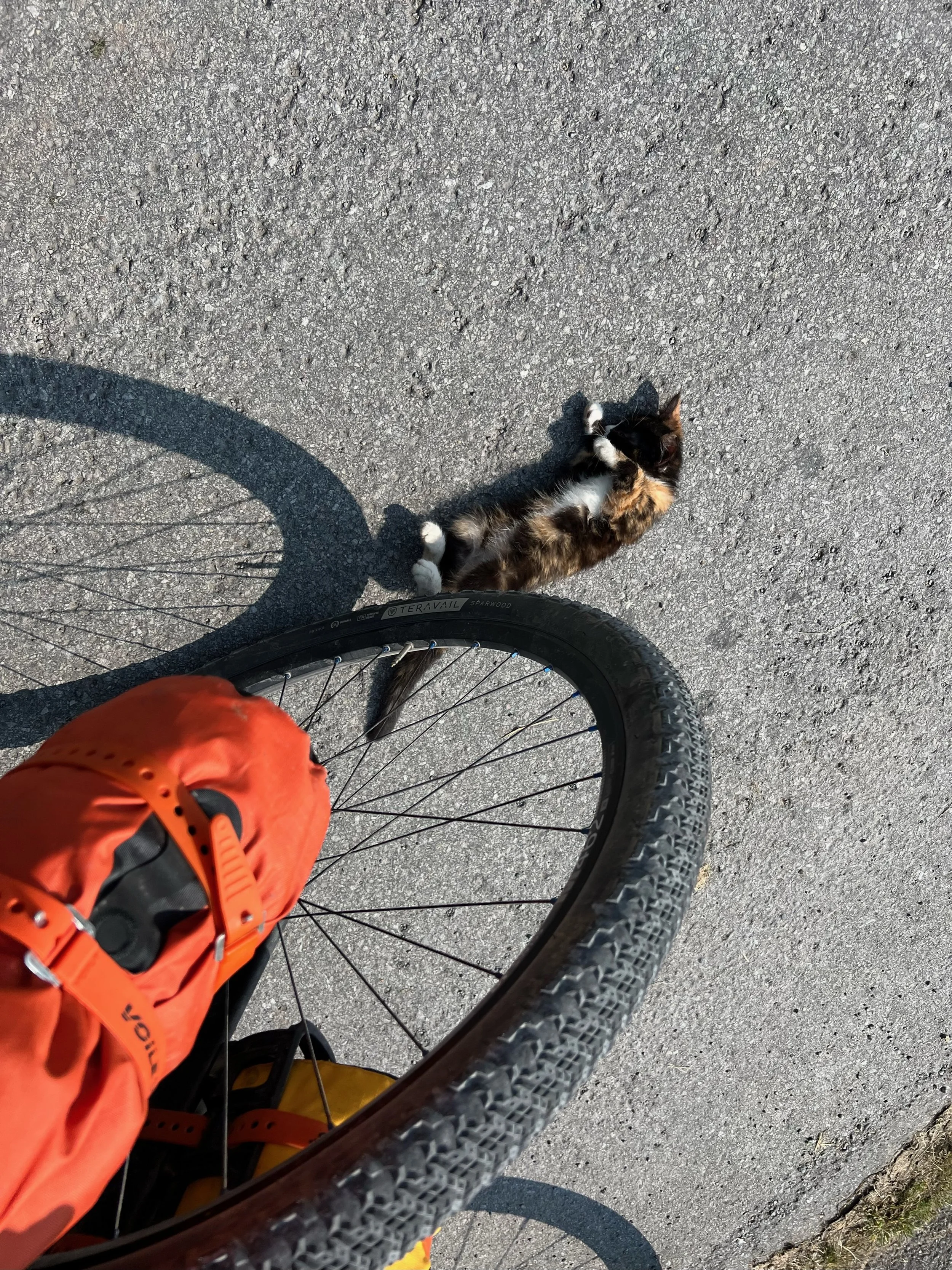
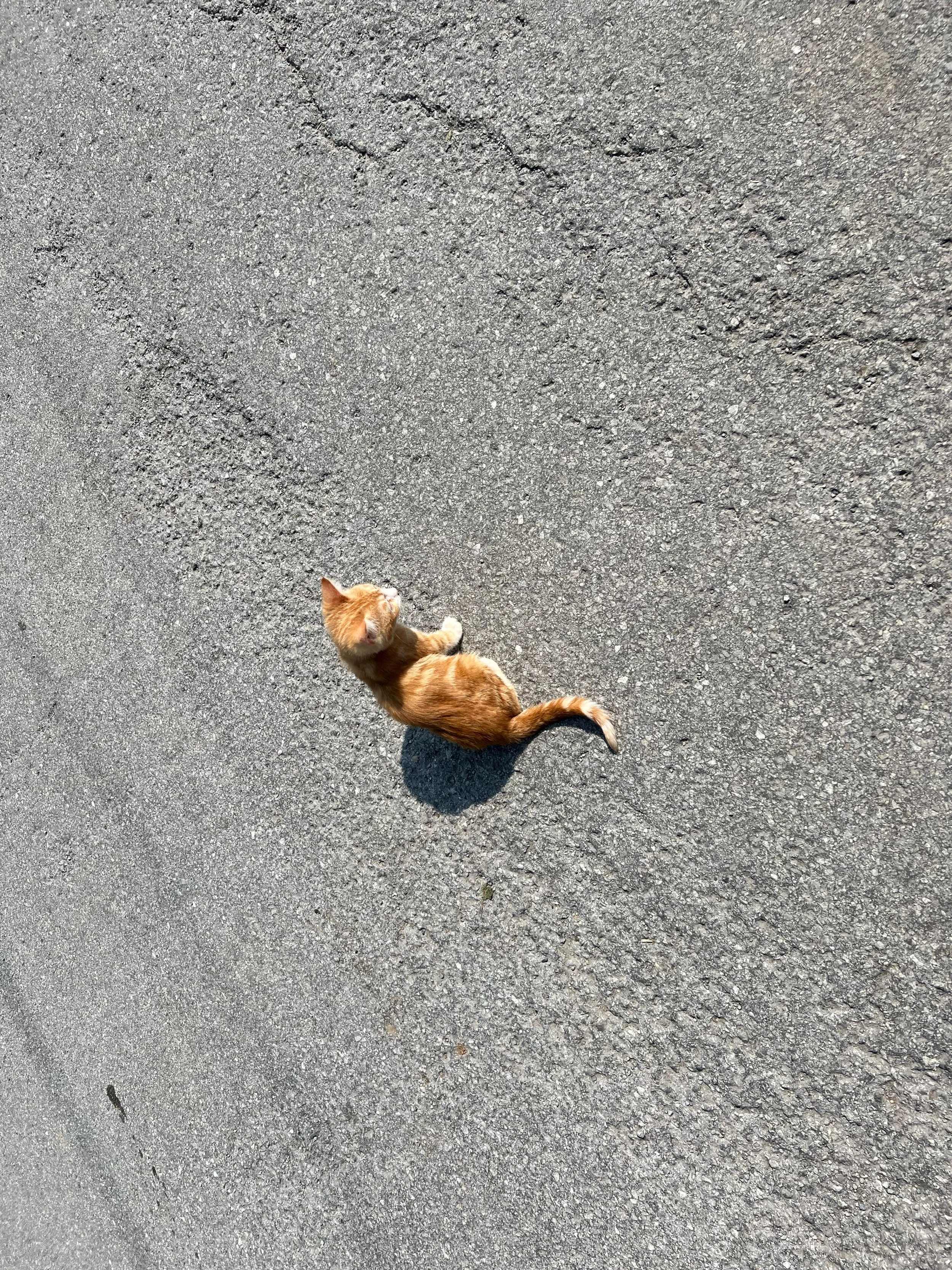
Attacked by kittens in Whitmer
Gravel downhill to 33
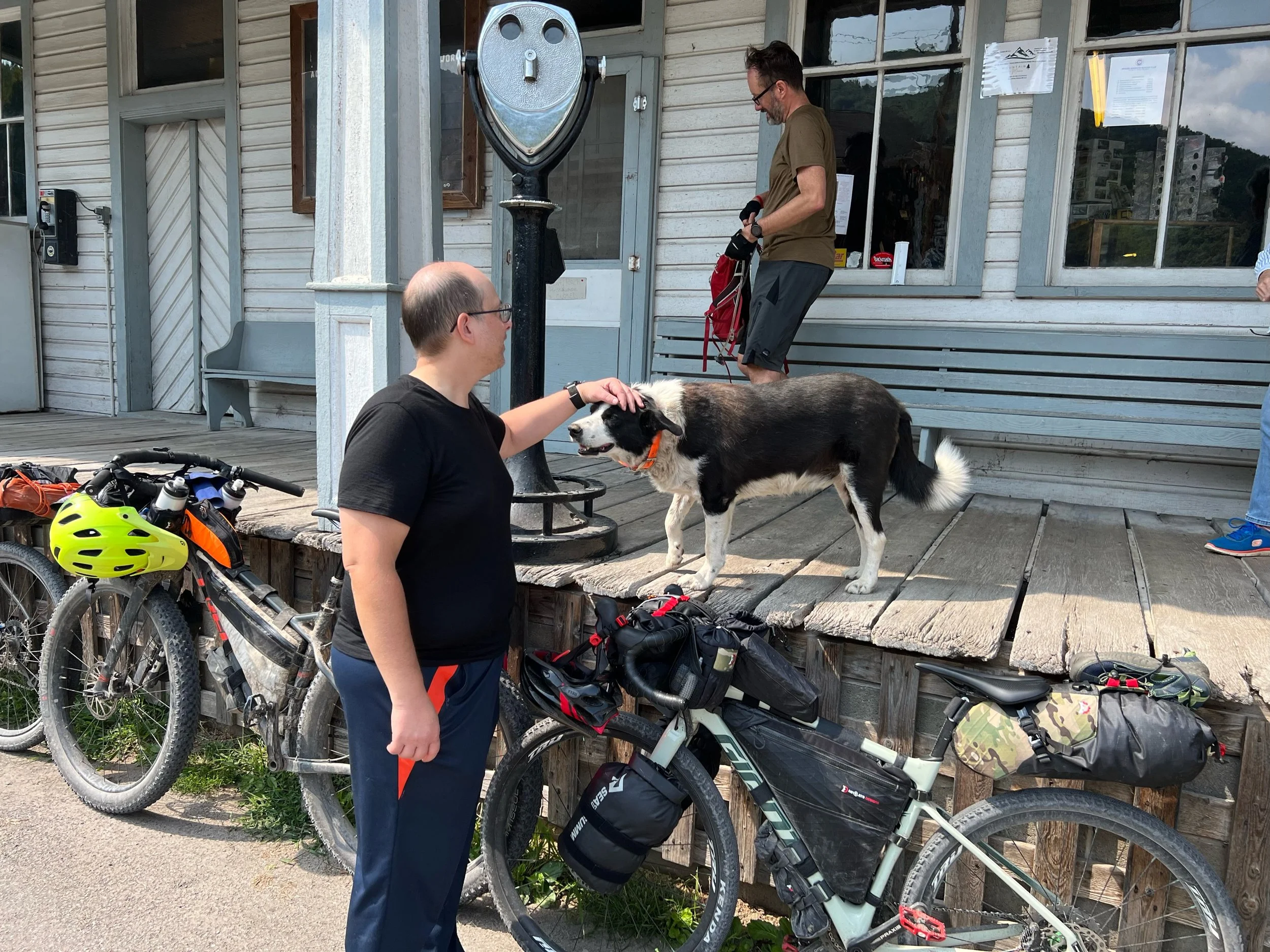
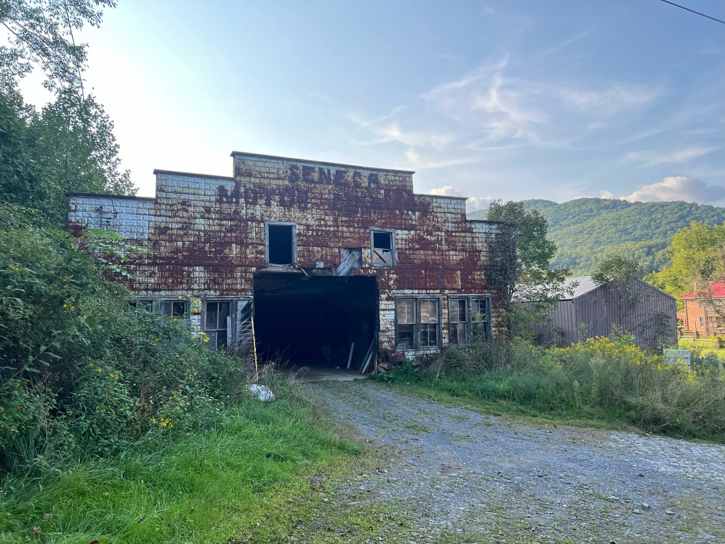
Lunch in Seneca rocks at Yocum’s. The cats love to hang out on the tables.
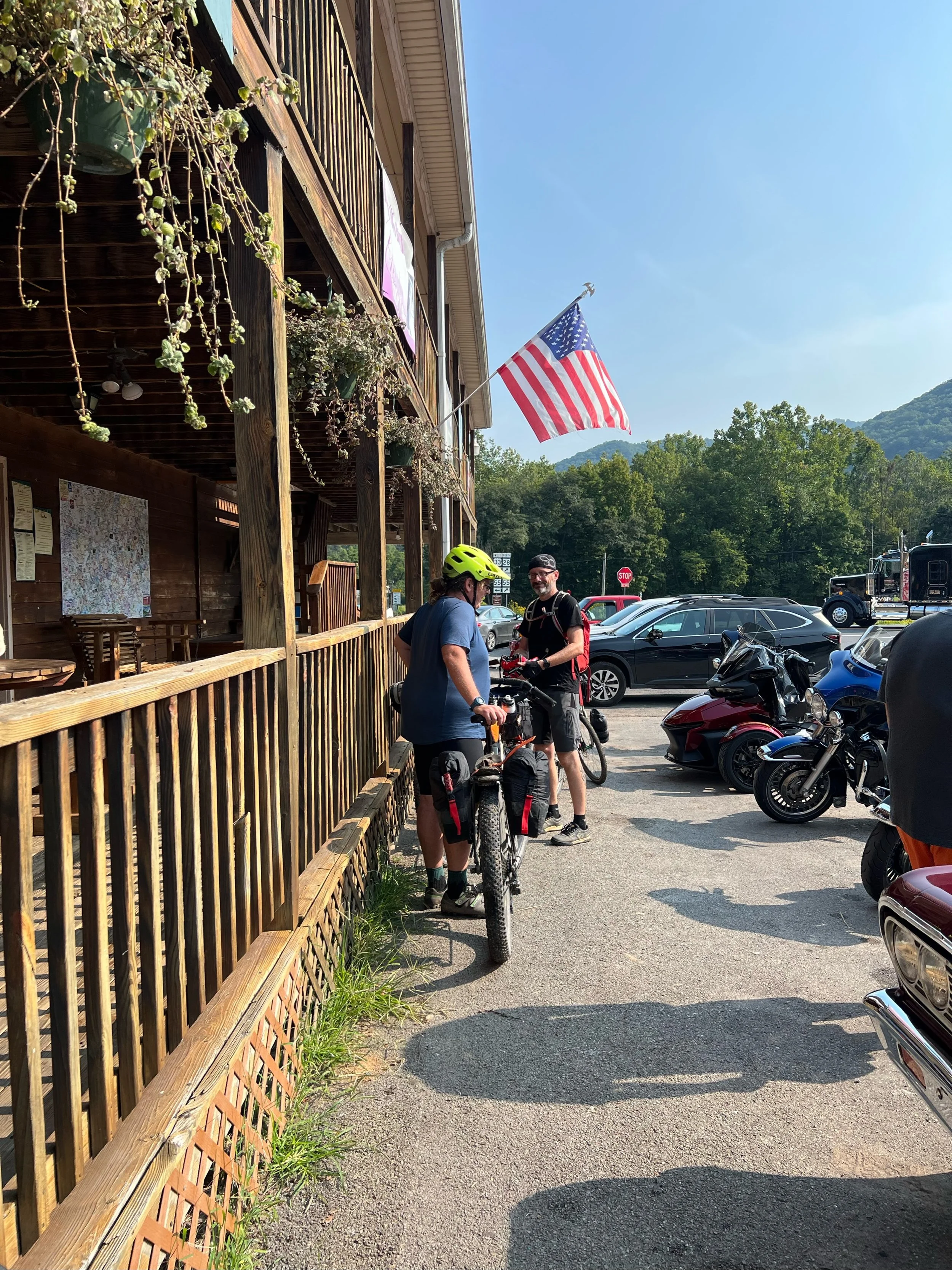
We learned at Harper’s that the Front Porch Restaurant closed permanently
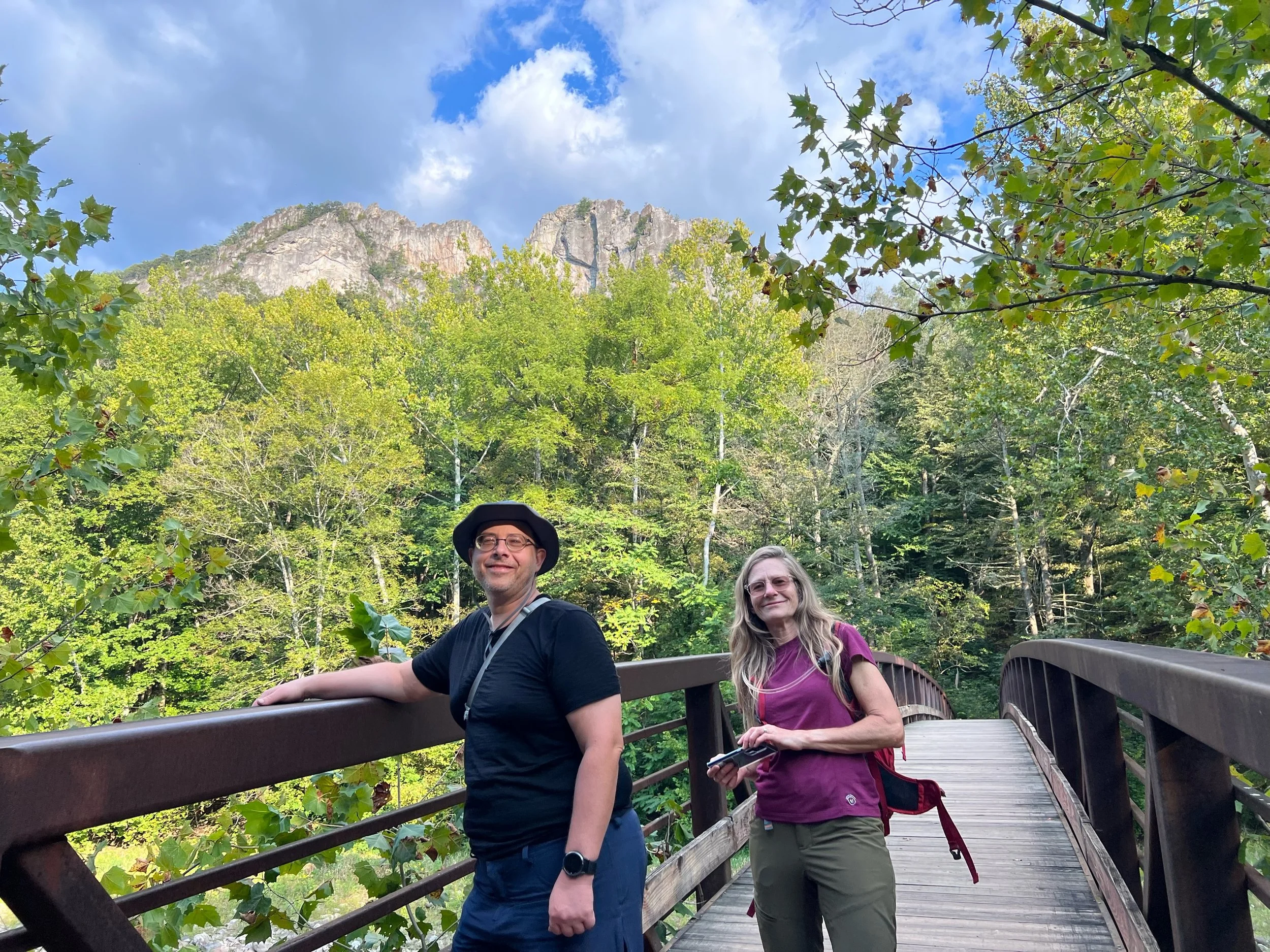
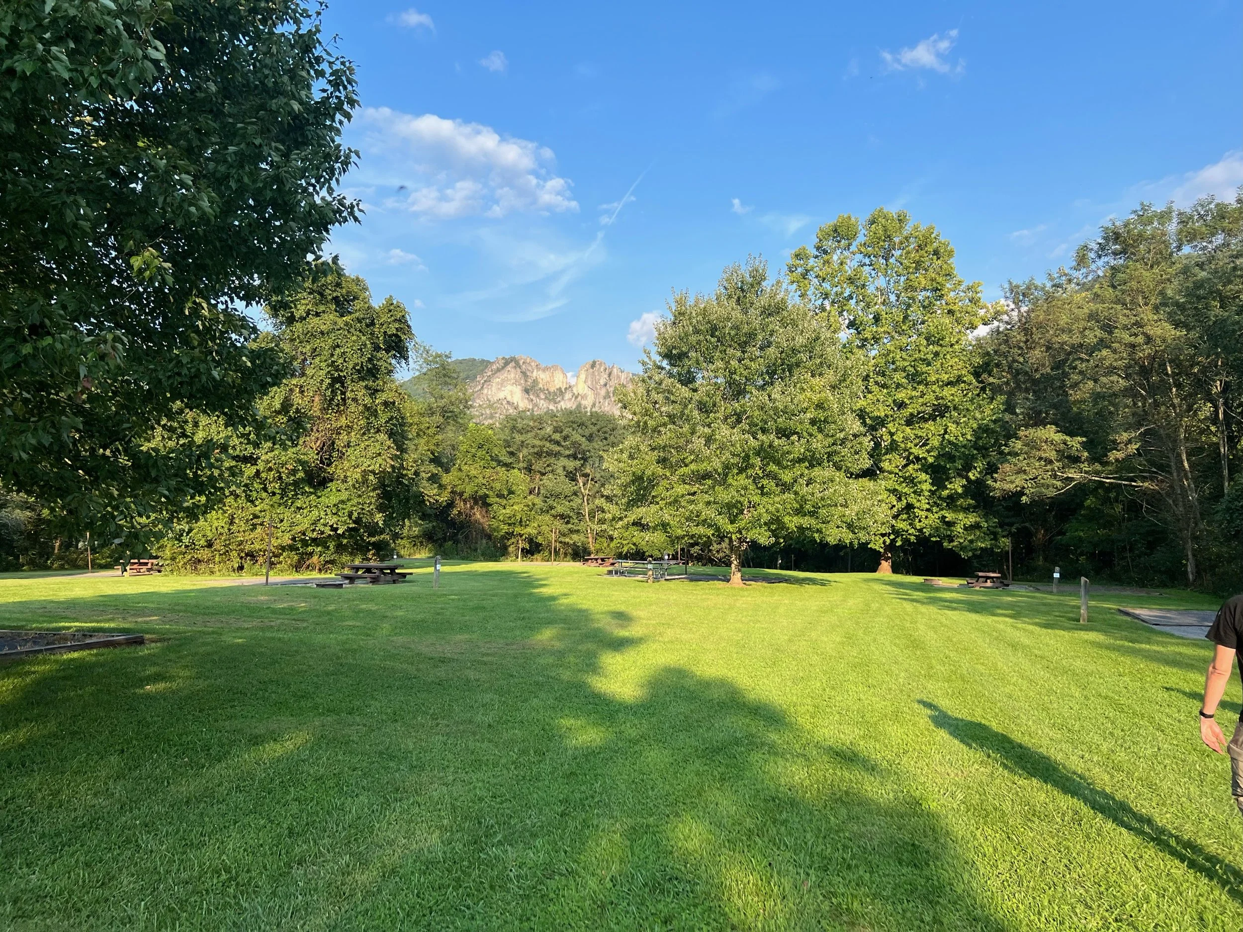
Seneca Shadows Campground end. The road between Yocum’s and Harper’s leads up to the walk-in and group campsites.
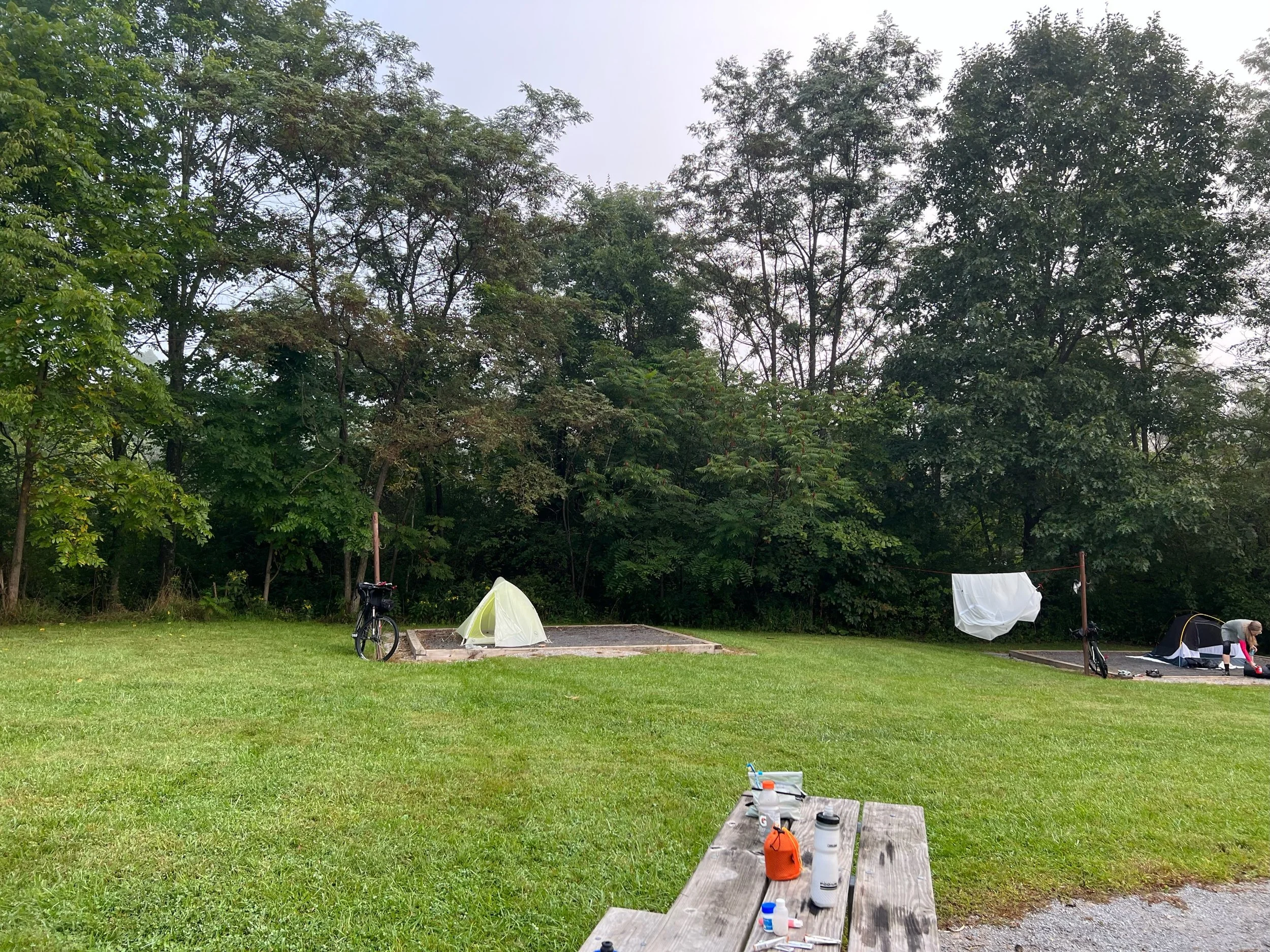
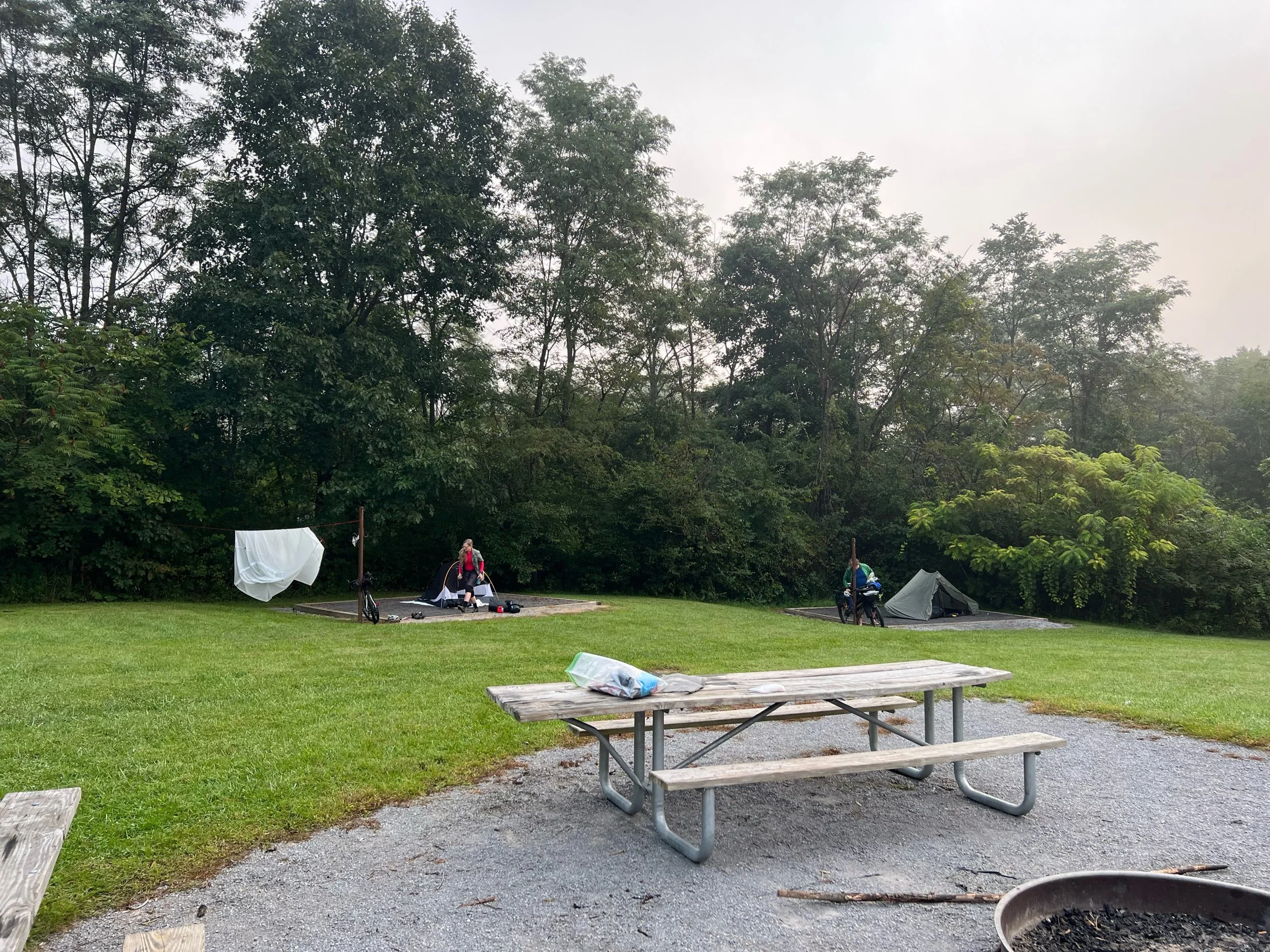
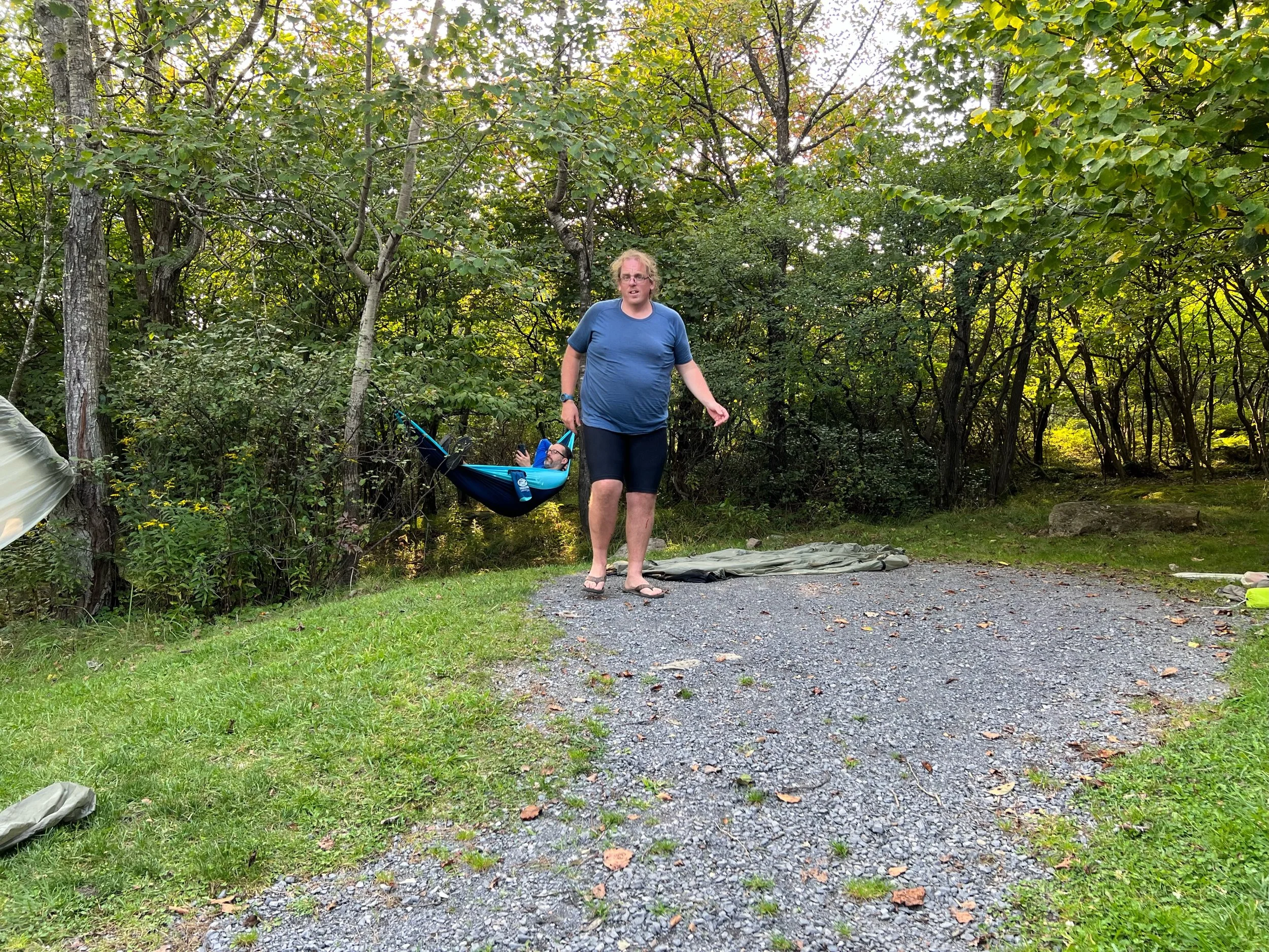
Setup camp. Nick bought a hammock and hung out in the trees for the afternoon.
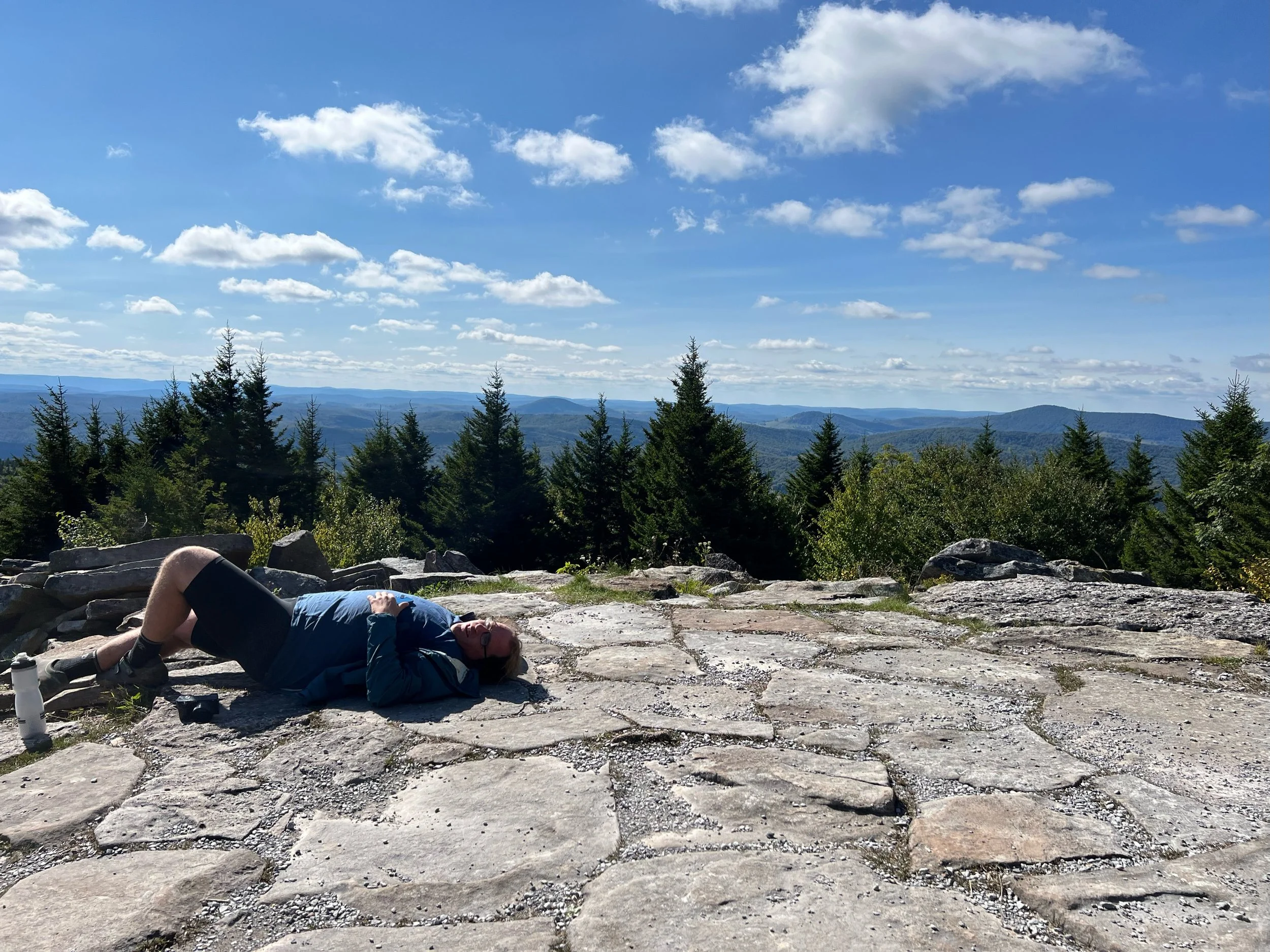
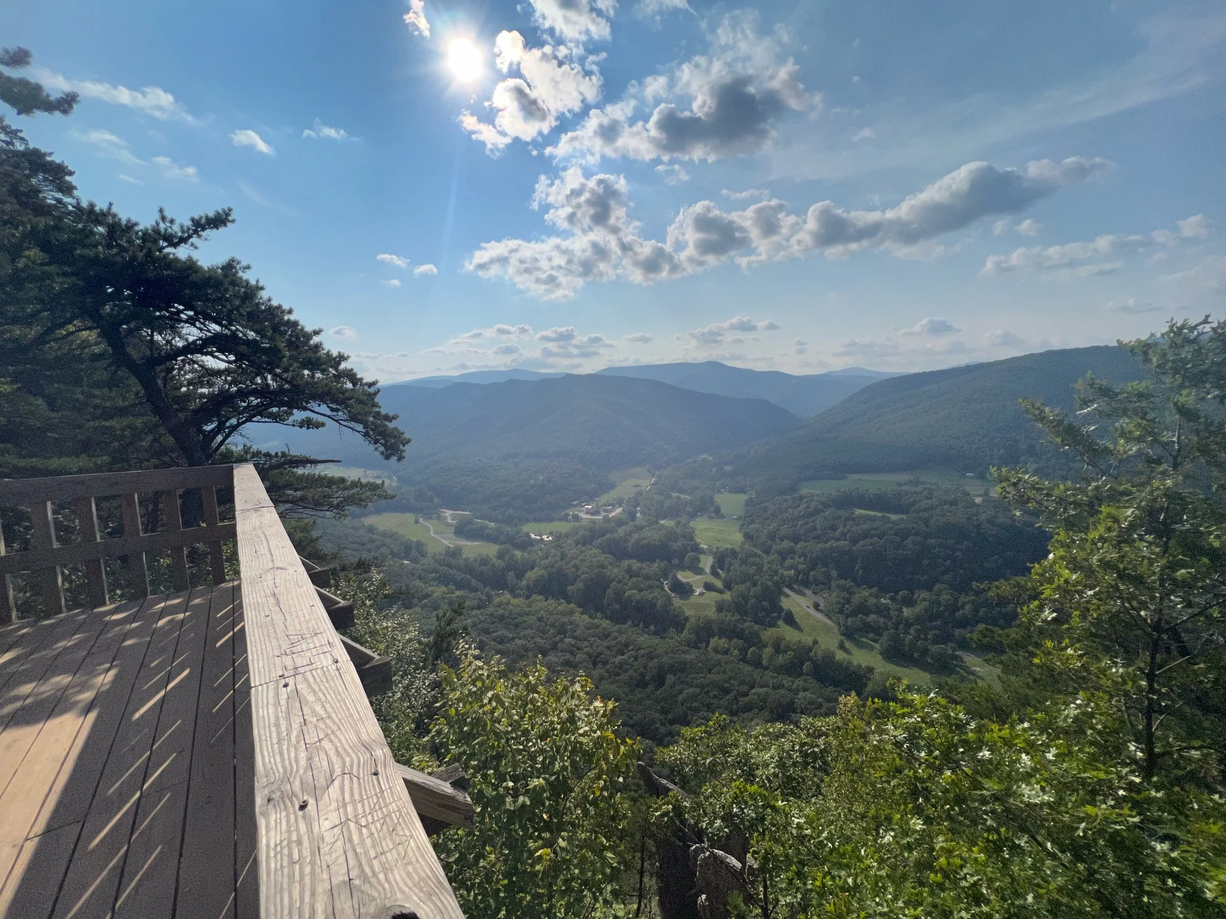
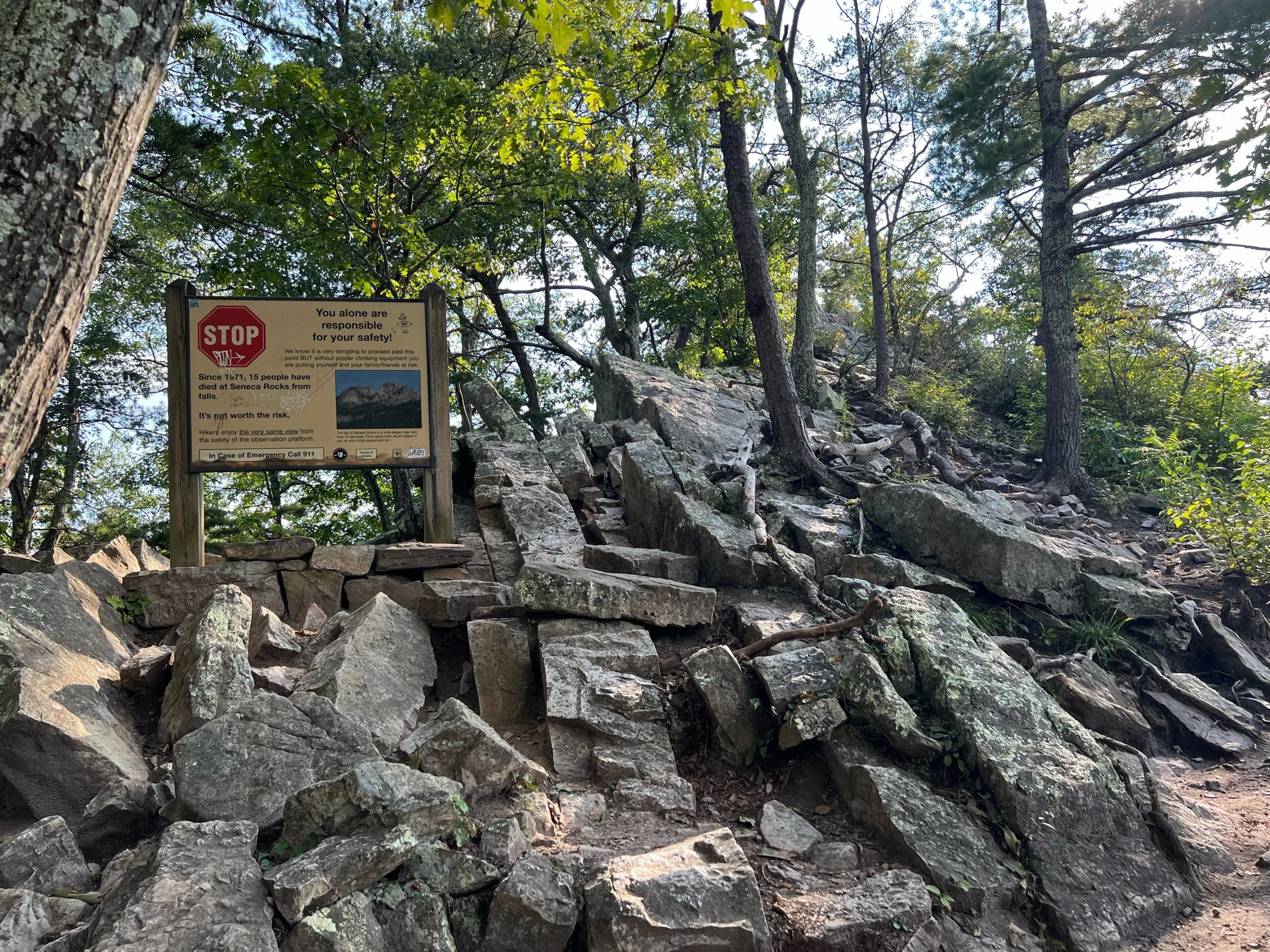
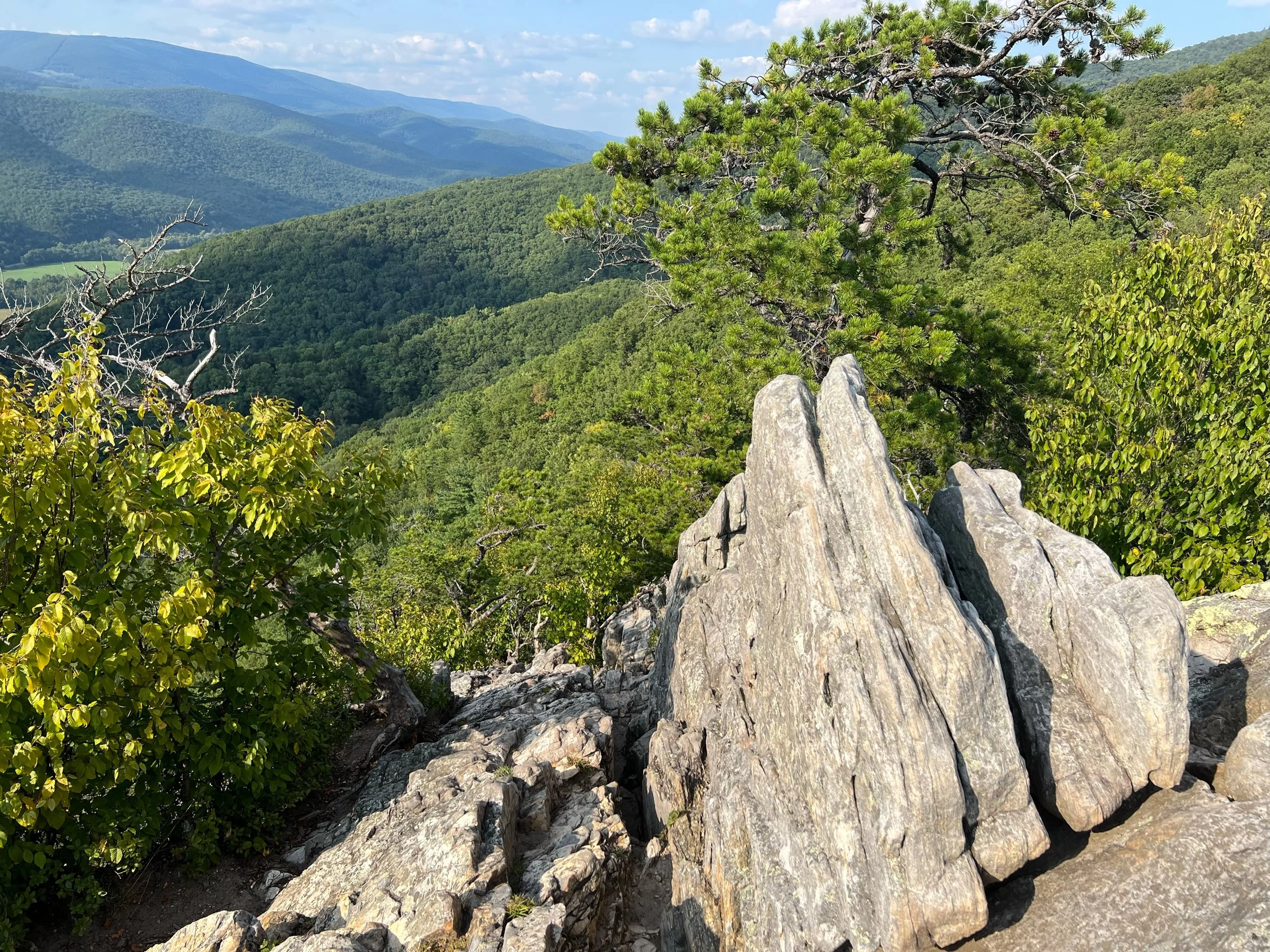
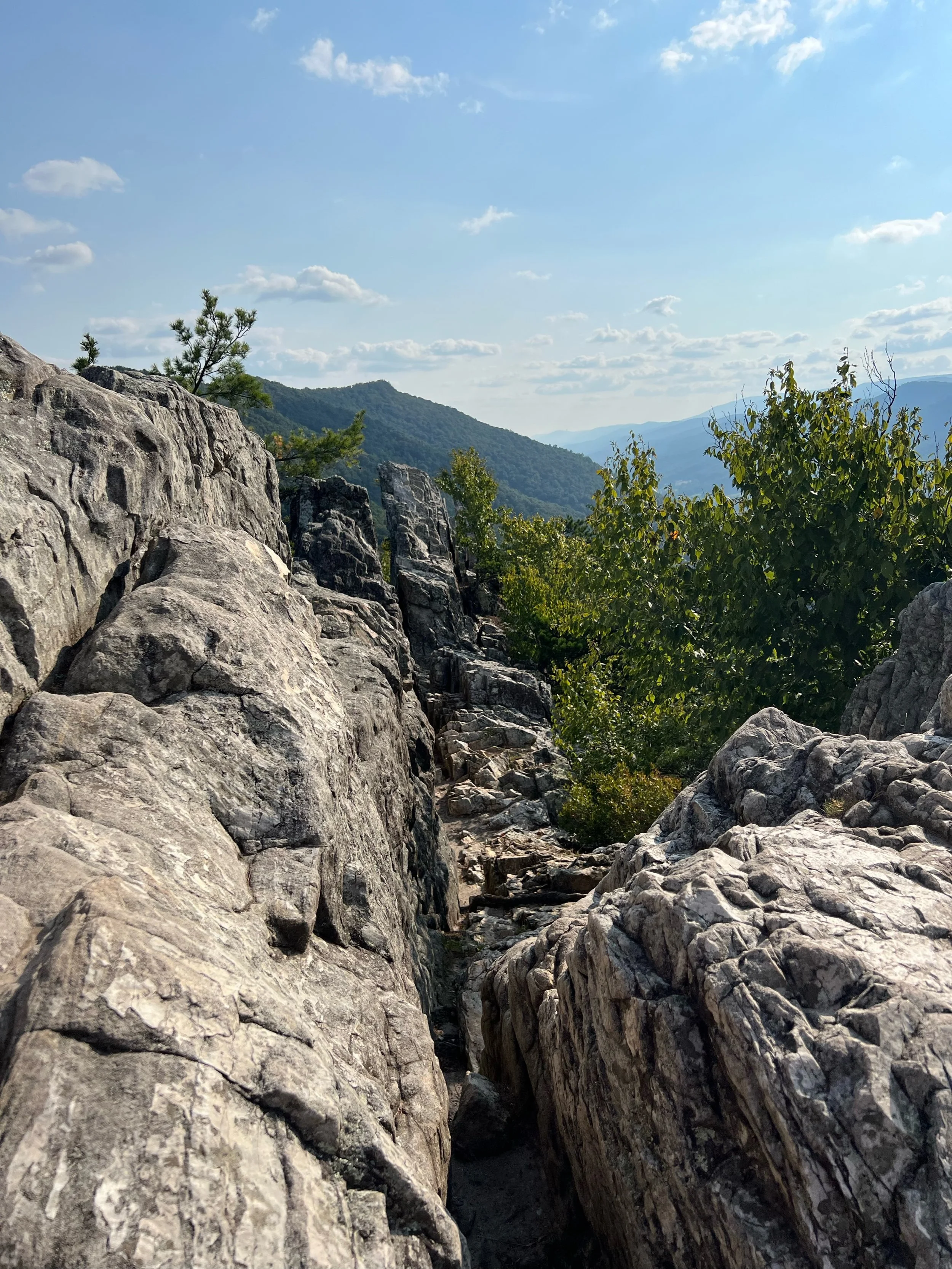
Tim, Teresa and I hiked up Seneca Rocks. We saw a group of school children running up and down the trail working on various “challenges.” We also met a group of college students from Granville out on a geological/environmental field trip. Later realized it was Matt Jungers who is a gravel rider and OGG member.
Dinner in Seneca Rocks at Yocum’s. We ate too much pizza and enjoyed some local WV beer in camp.
Bonfire in camp and stars were out again.
The school children camped near us and chanted and screamed well into the evening. They eventually quieted down.
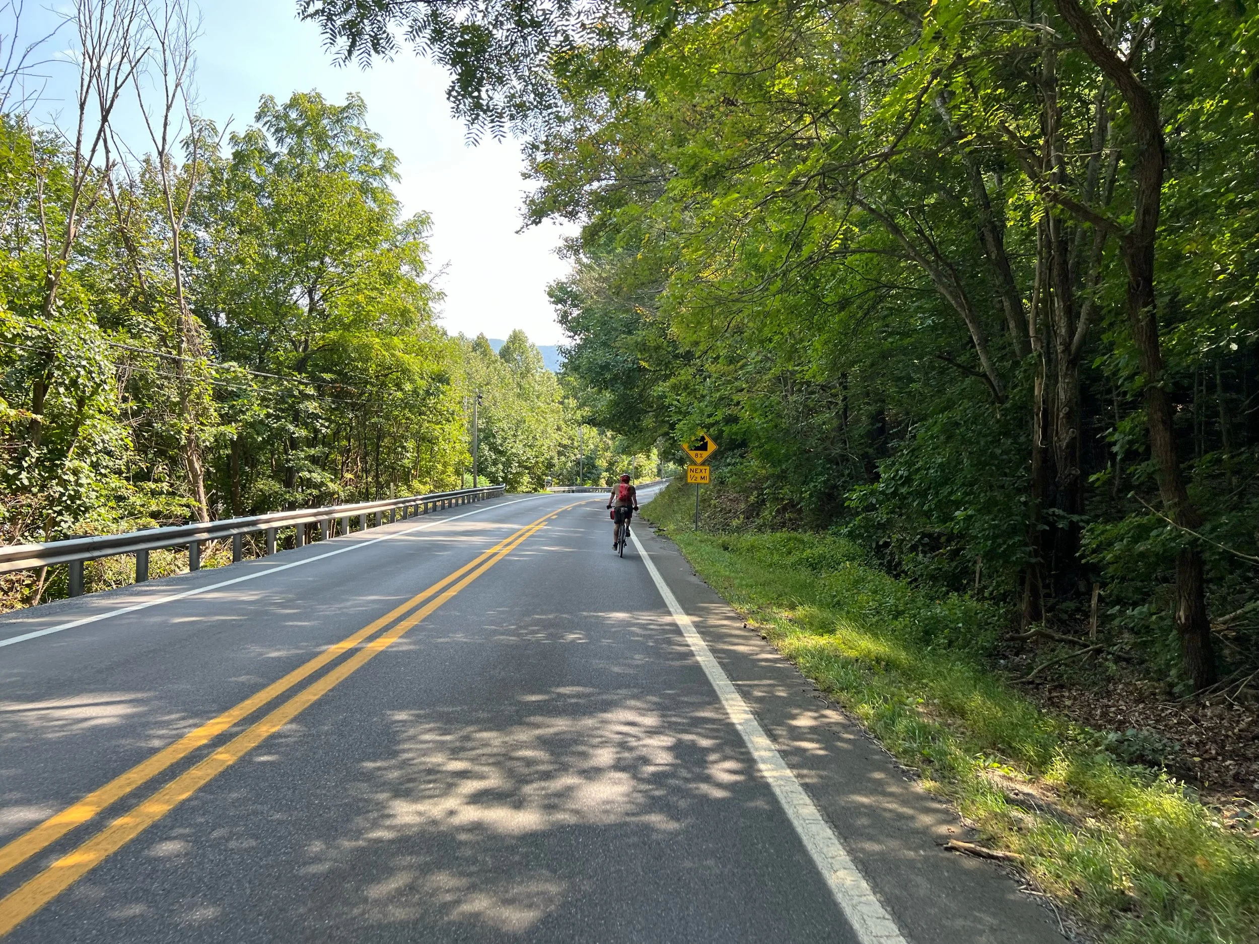
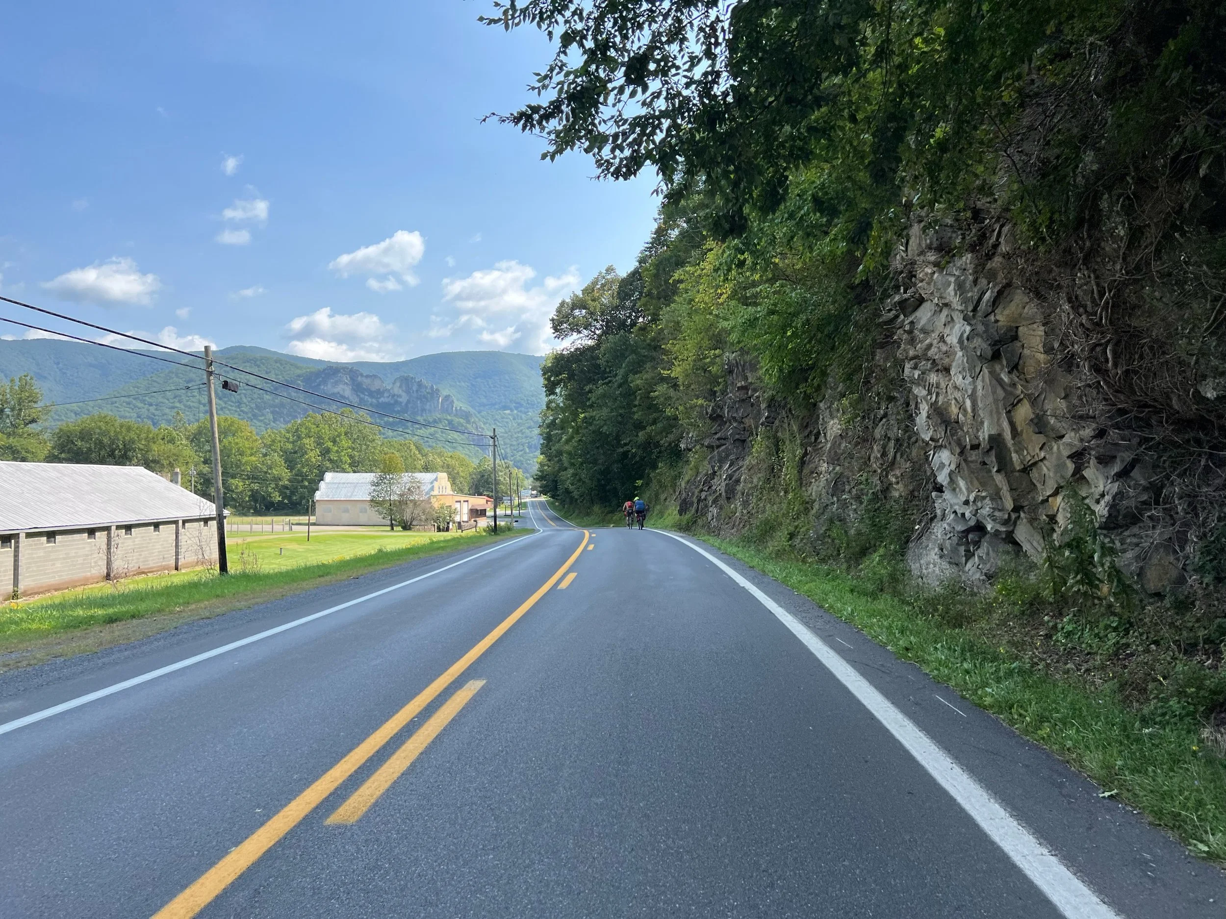
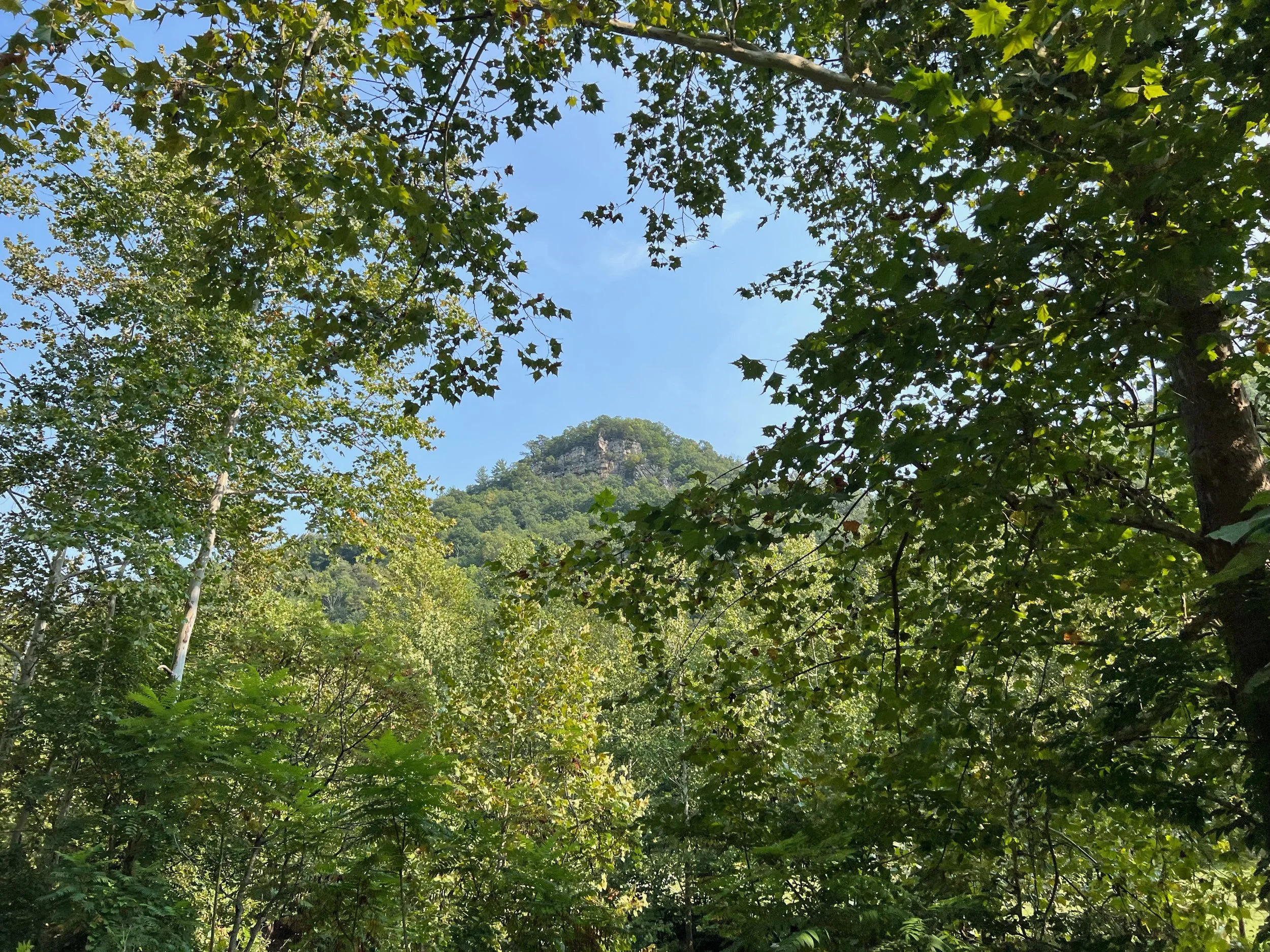
The view from 33 dropping down into Seneca Rocks
From wikipedia: Seneca Rocks is a large crag and local landmark in Pendleton County in the Eastern Panhandle of West Virginia, United States. The south peak is one of a small number of peaks inaccessible except by technical rock climbing techniques on the East Coast of the United States. One of the best-known scenic attractions in West Virginia, the sheer rock faces are a popular challenge for rock climbers.


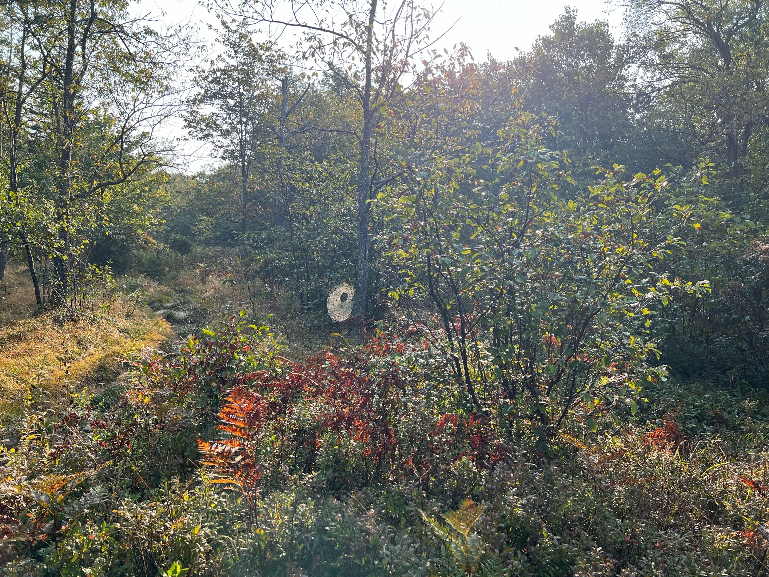
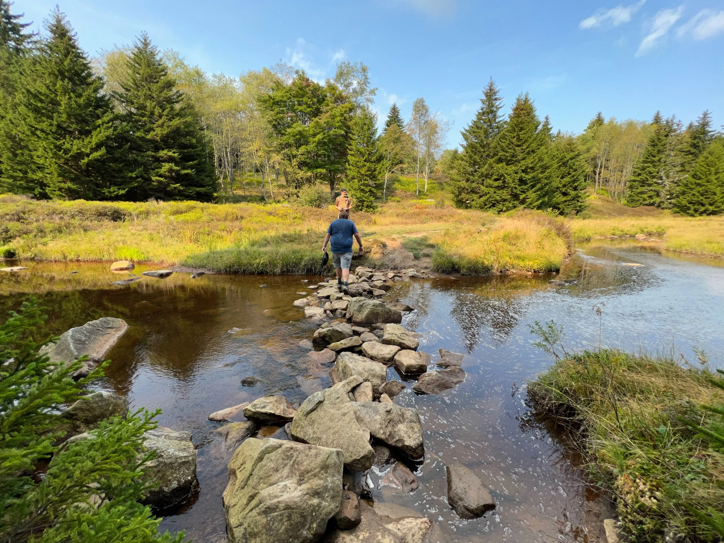
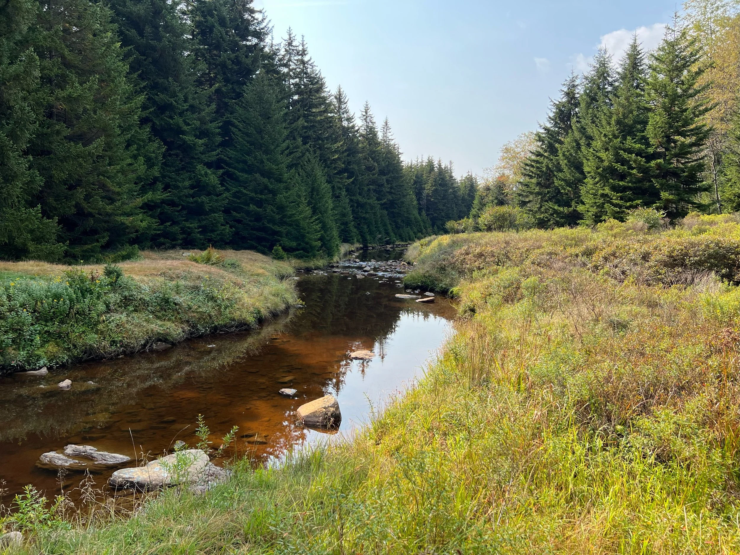
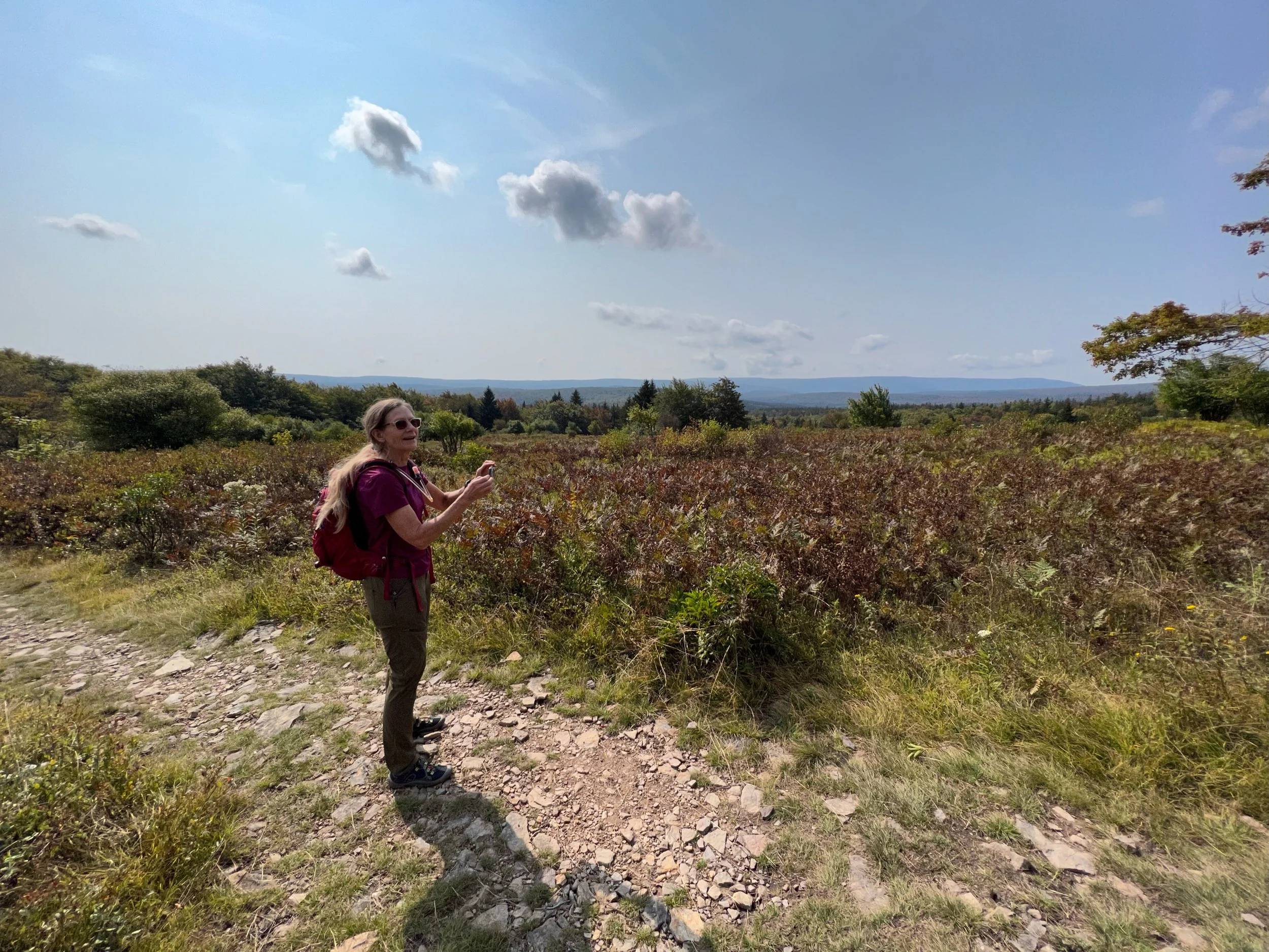
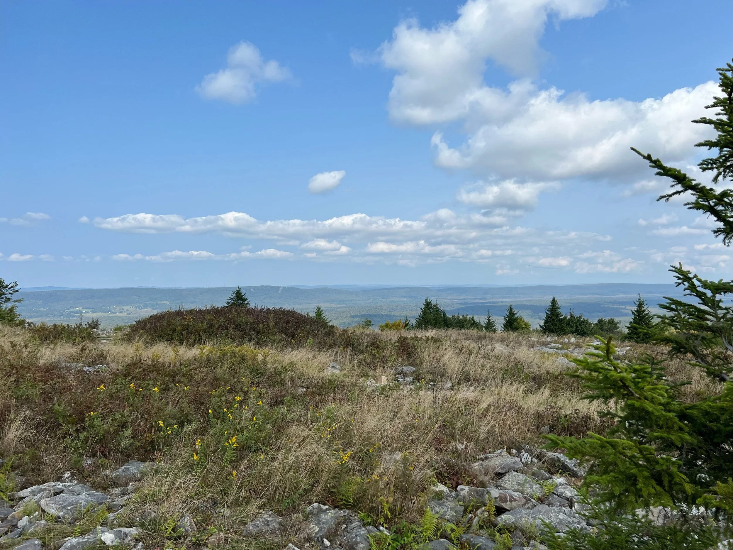
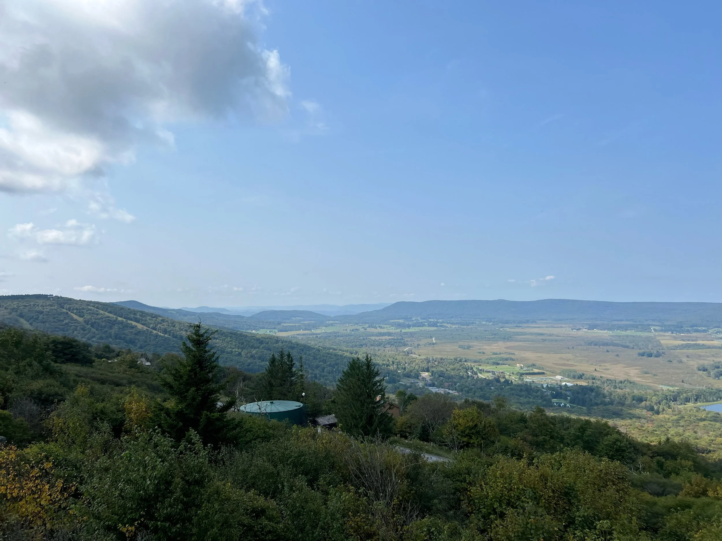
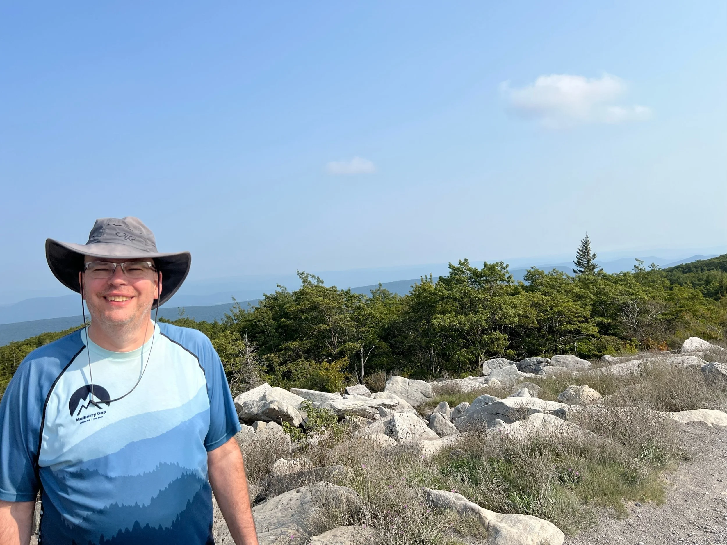
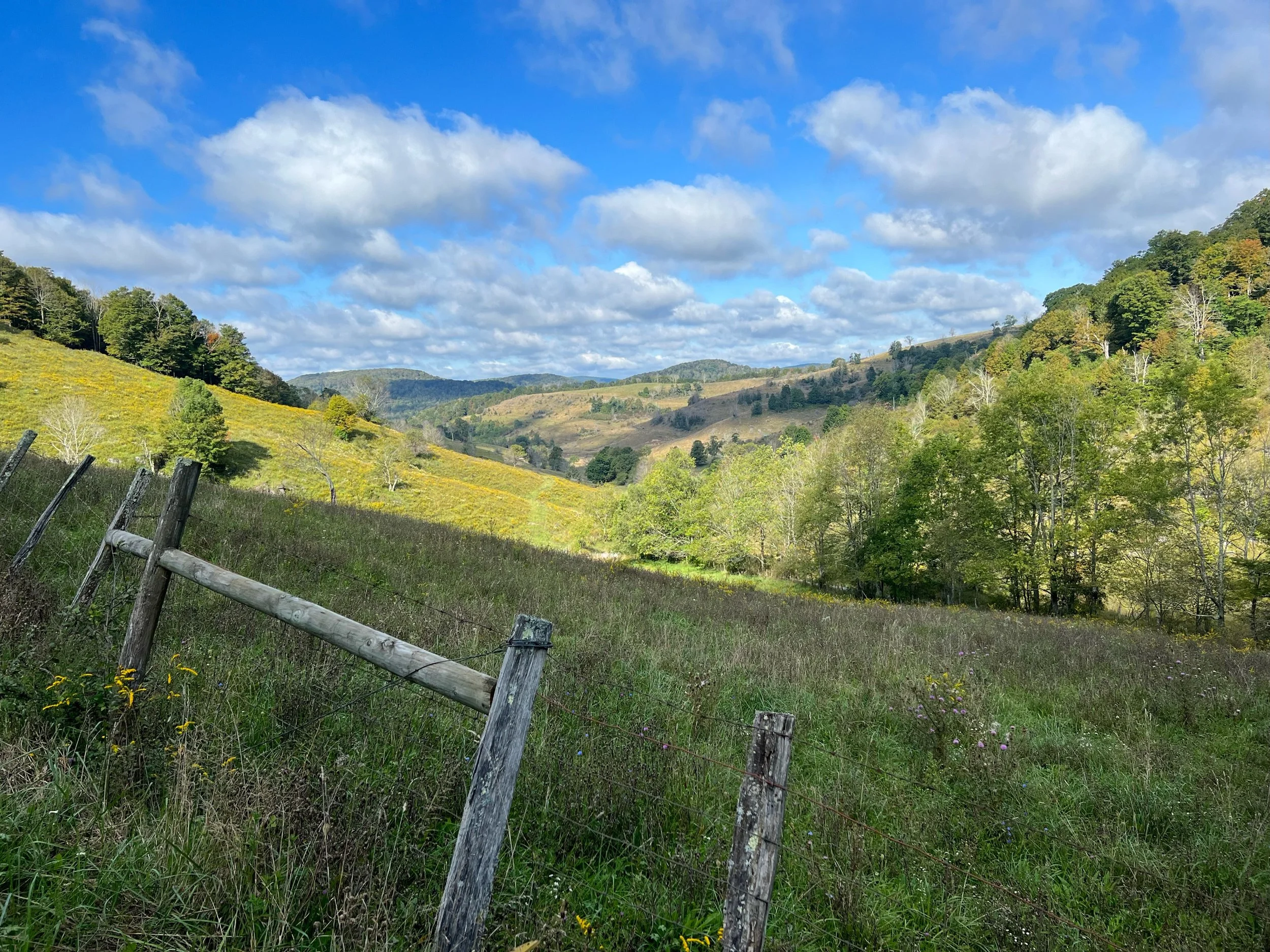
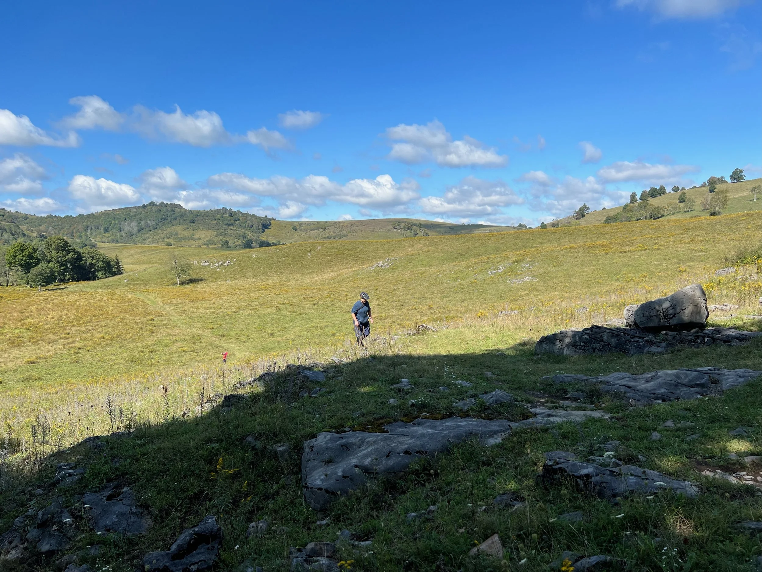
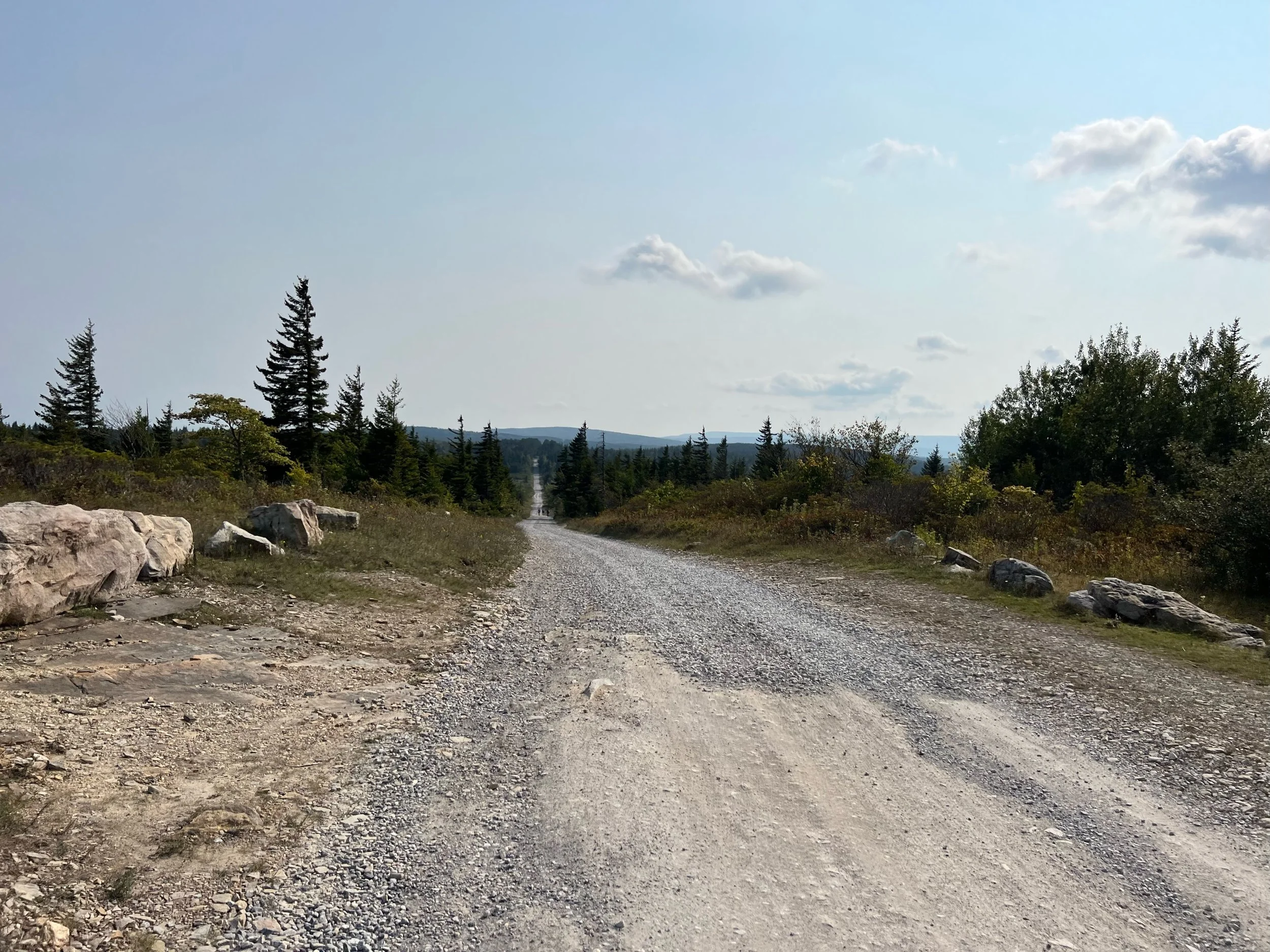
Seneca Shadows Campground to Red Creek Campground at Dolly Sods
Highlights
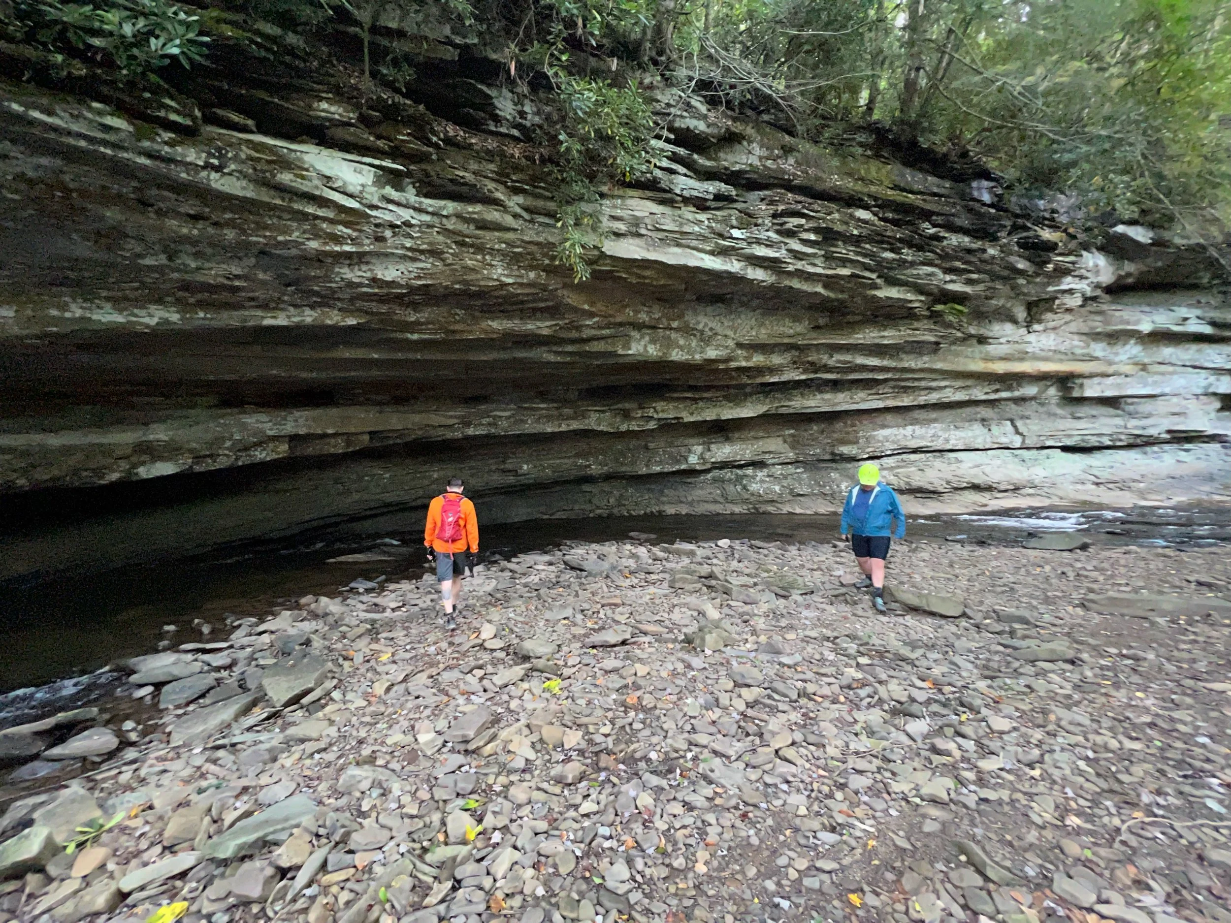
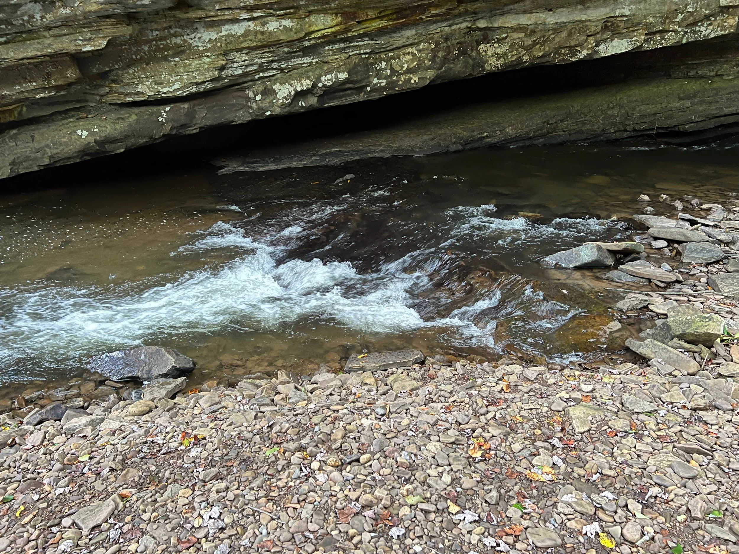
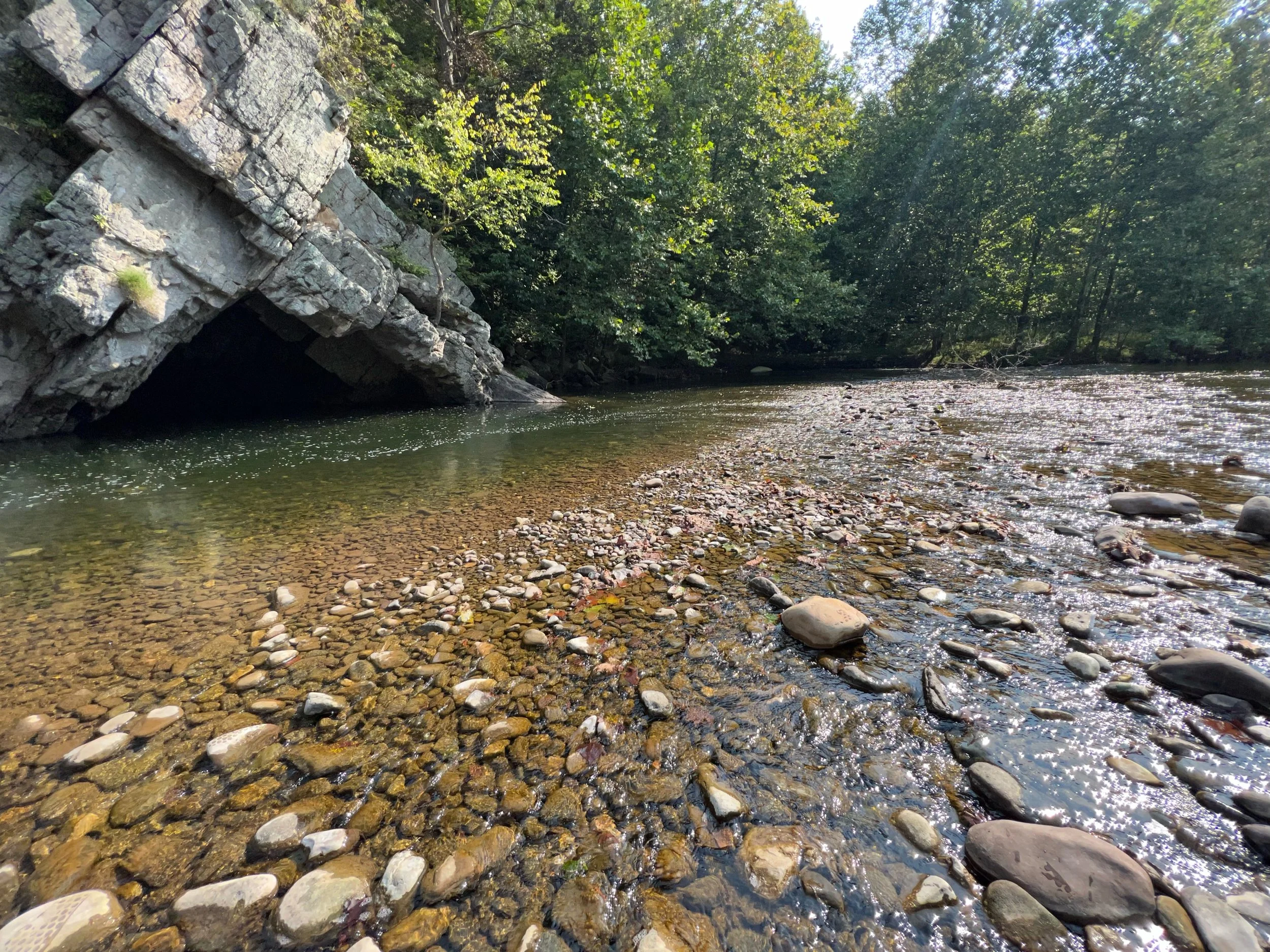
Anticline or Antiform? Neither according to a friend who is a geologist. It looks cool and created and alcove over time.
Warmer overnight
Broke camp
Breakfast in Seneca Rocks at Yocum’s, plus grabbed food for lunch along the way. Cats were still hanging around.
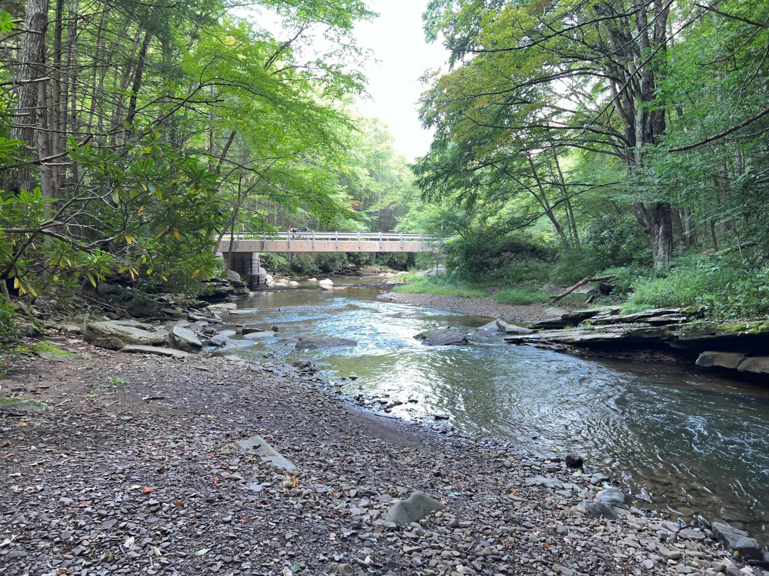
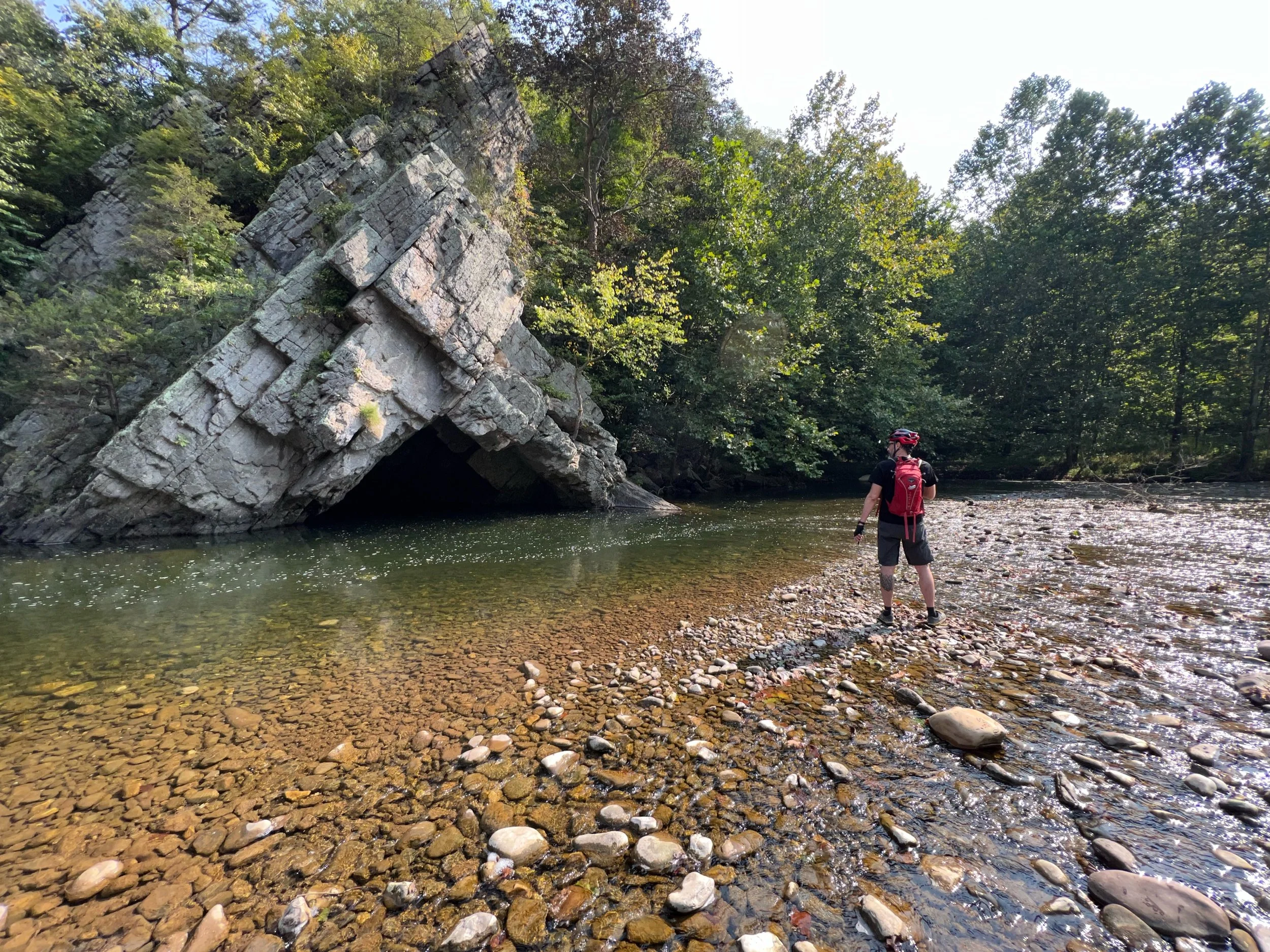
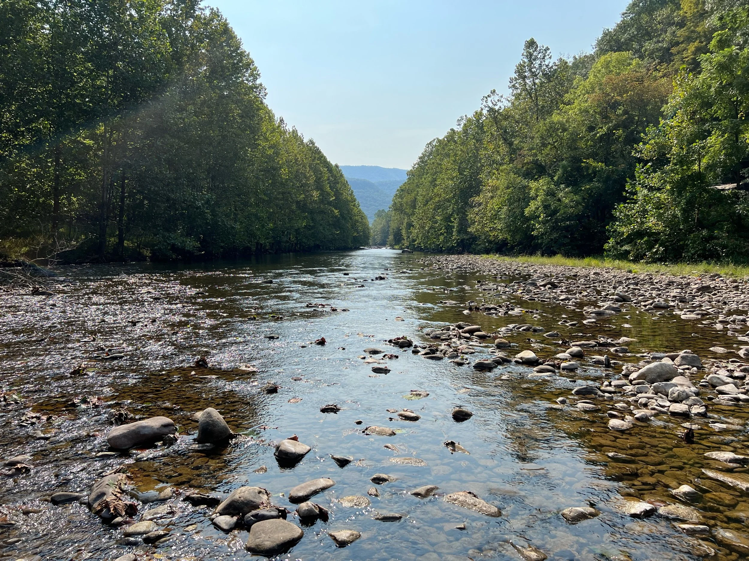
Followed the North Fork South Branch Potomac River
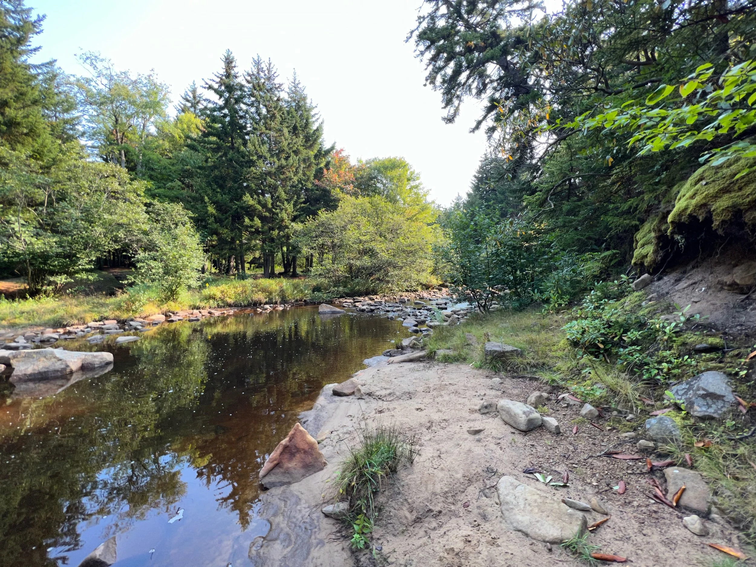
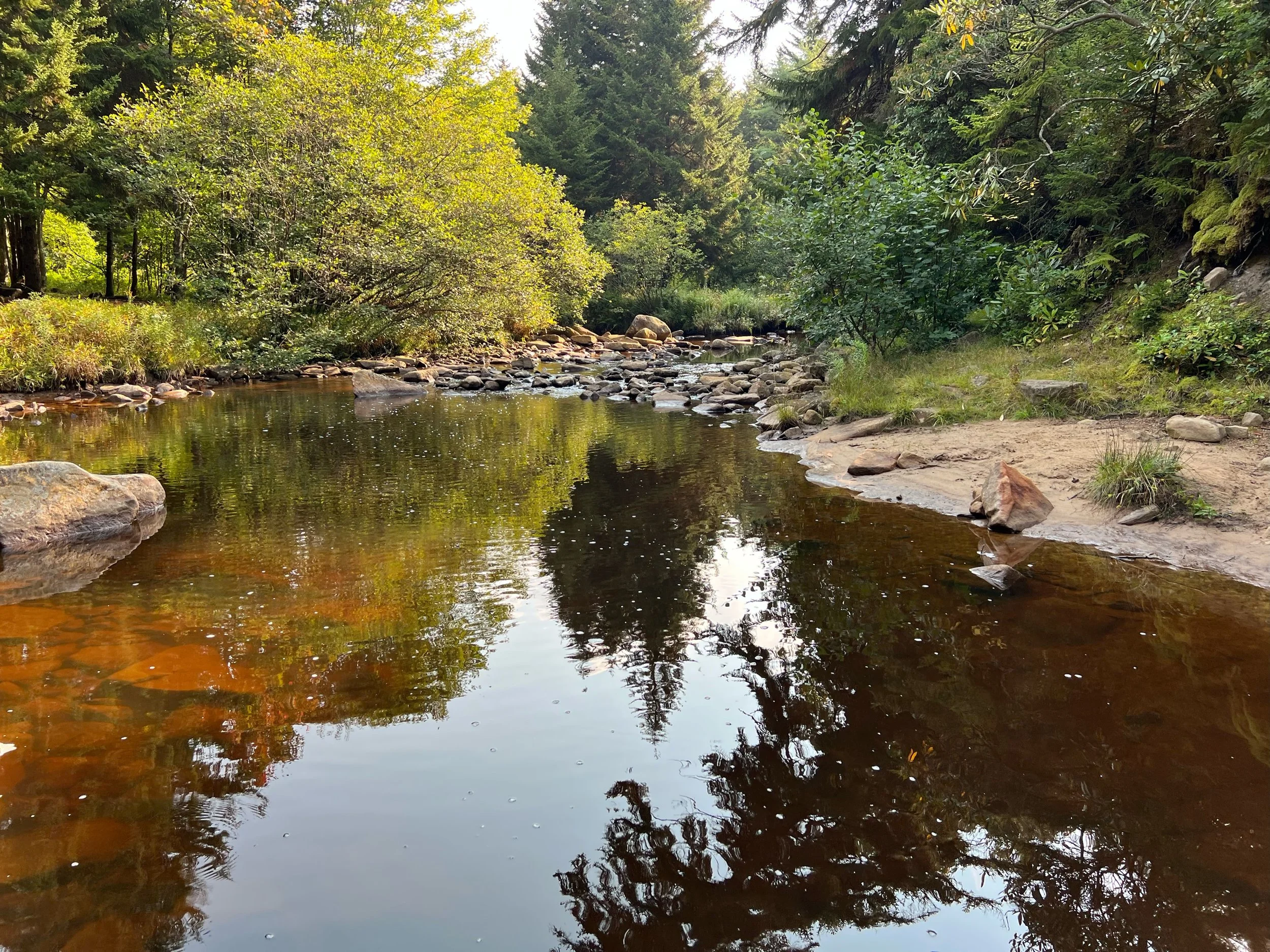
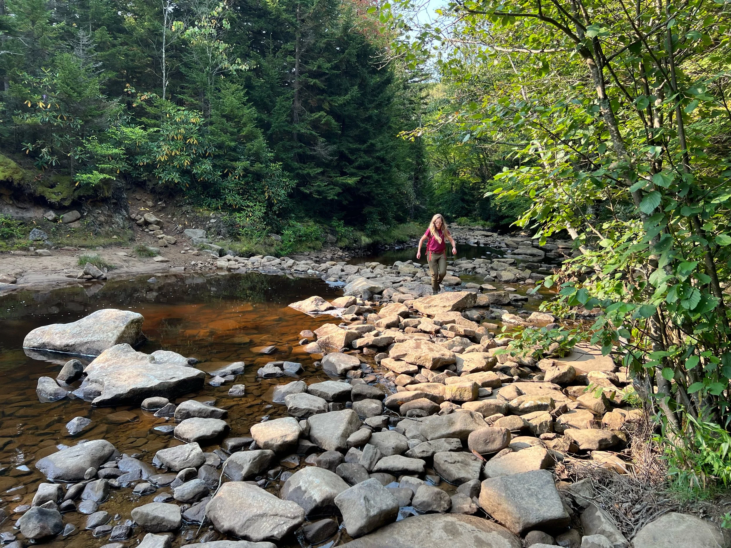
Stopped to walk into the river to see geologic feature and swimming hole
McGuiness Self Serve store was closed, not sure if permanently
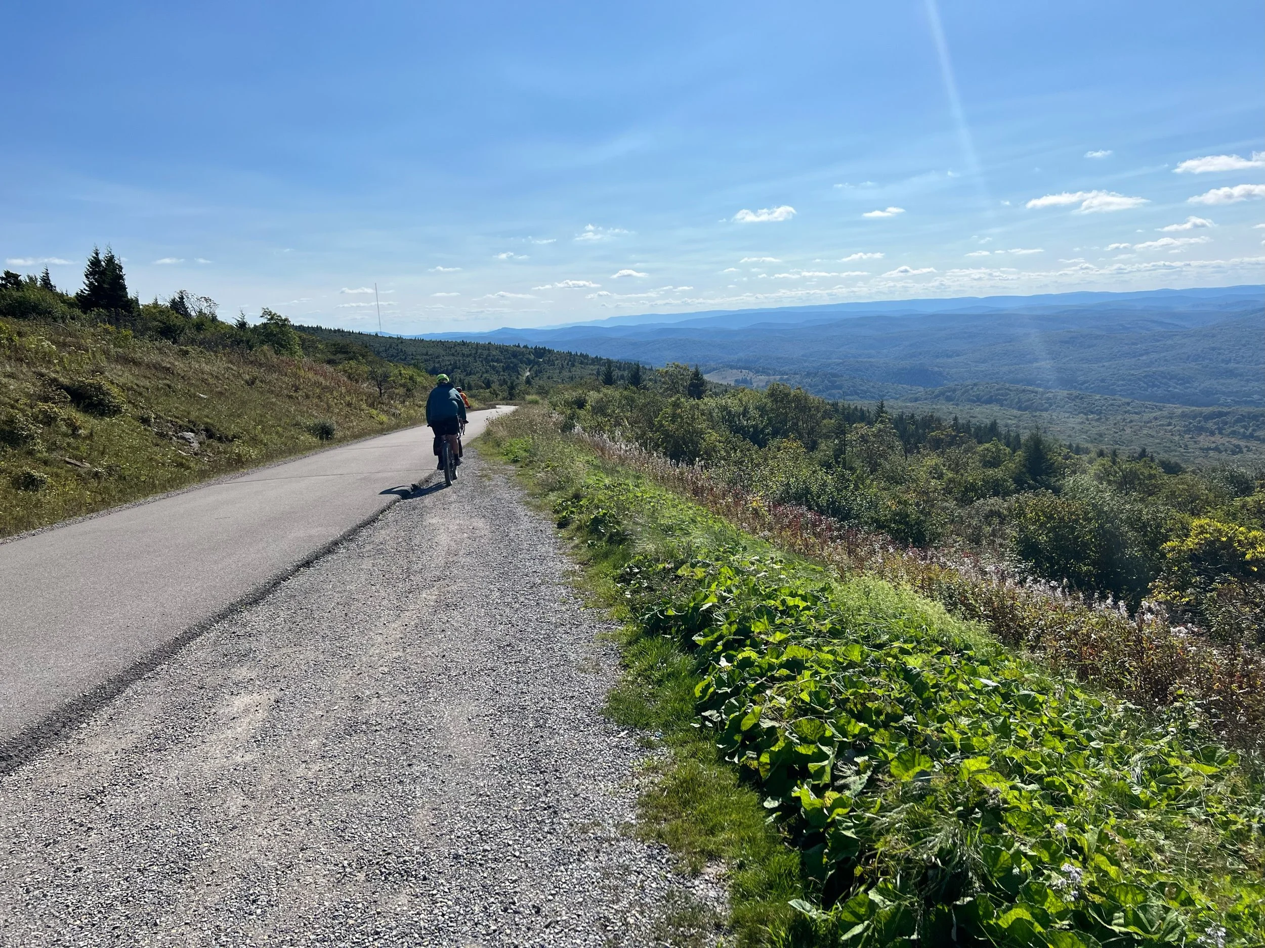
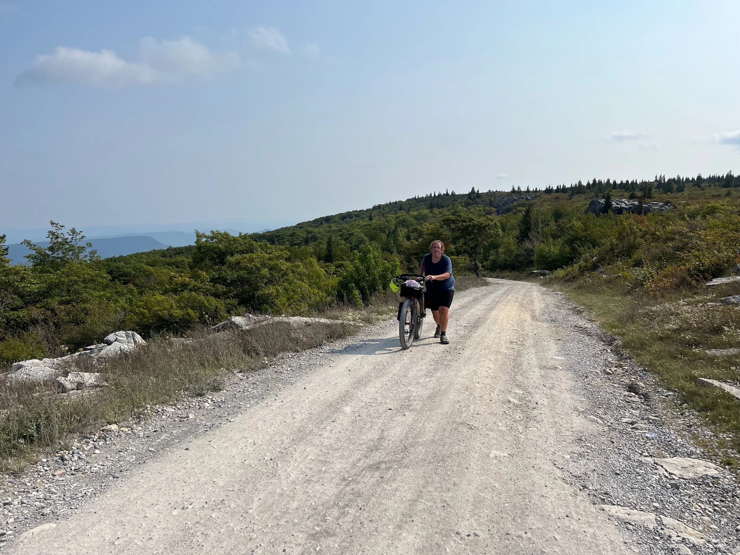
I rode the entire climb up to Dolly Sods and tried to maintain 3mph. Climb is 4 miles with a 2000 foot gain.
More chunky gravel on 75 up on the ridge
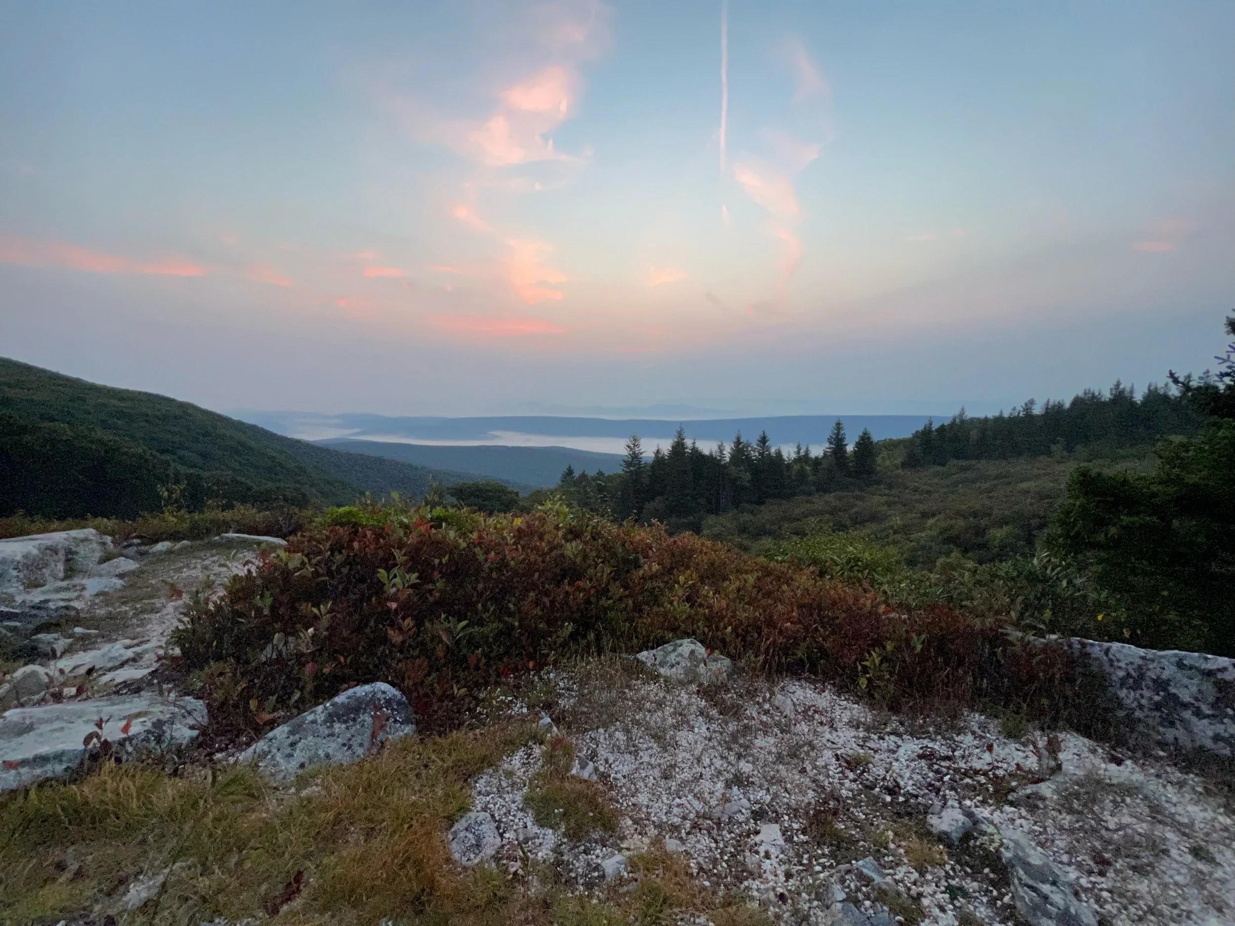
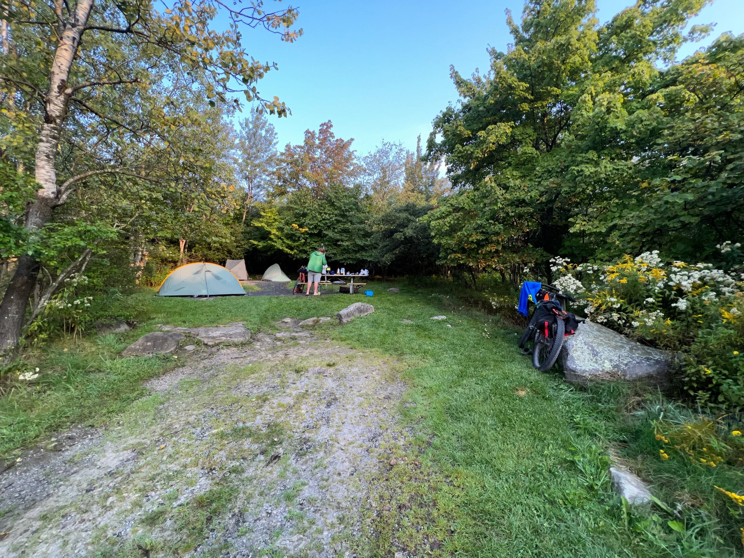
Red Creek Campground end. Thanks to Tim for grabbing the last two campsites. Since it was Friday night it was very busy and the campground was full. We had cars rolling through at 3am looking for campsites.
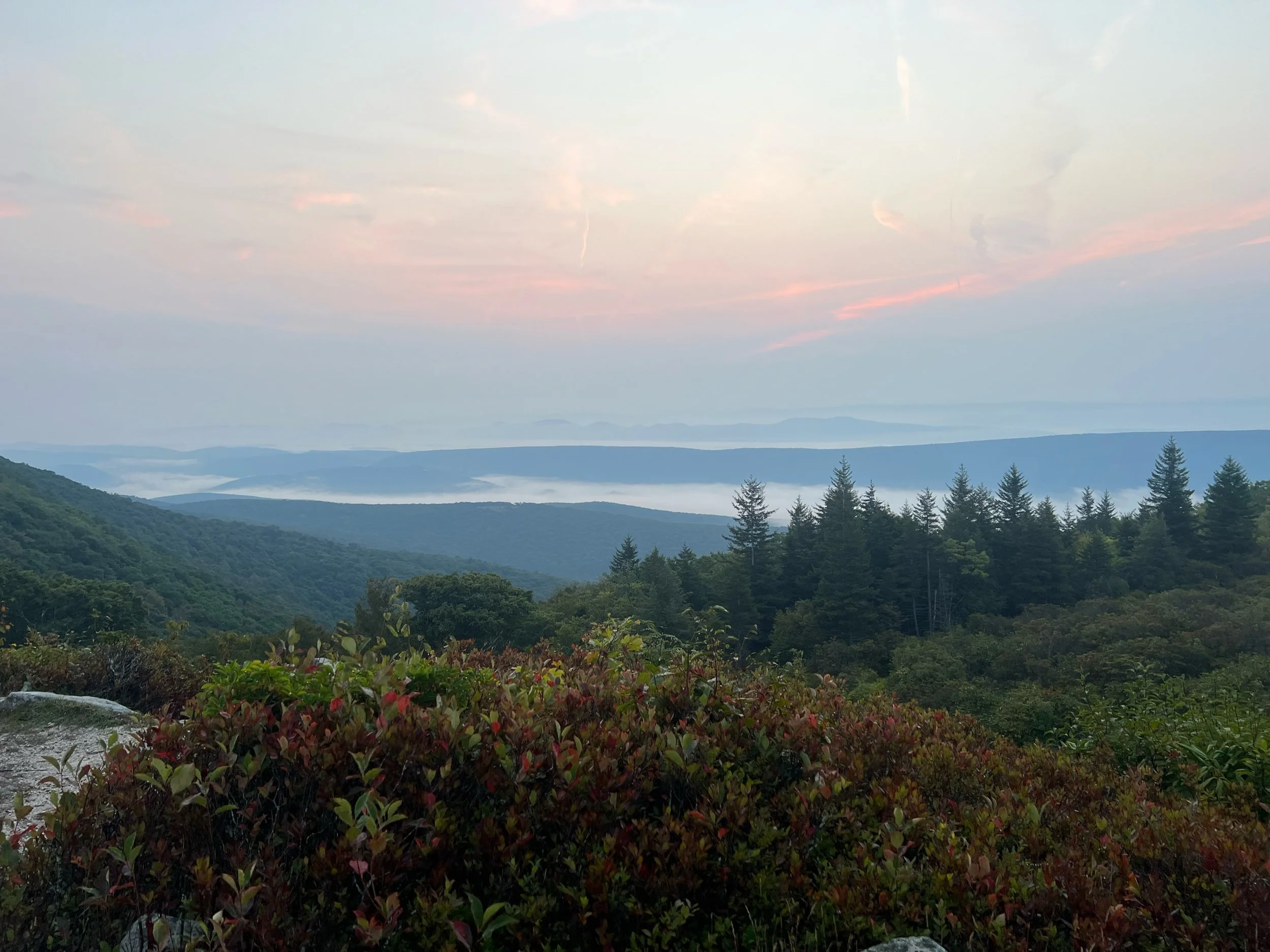
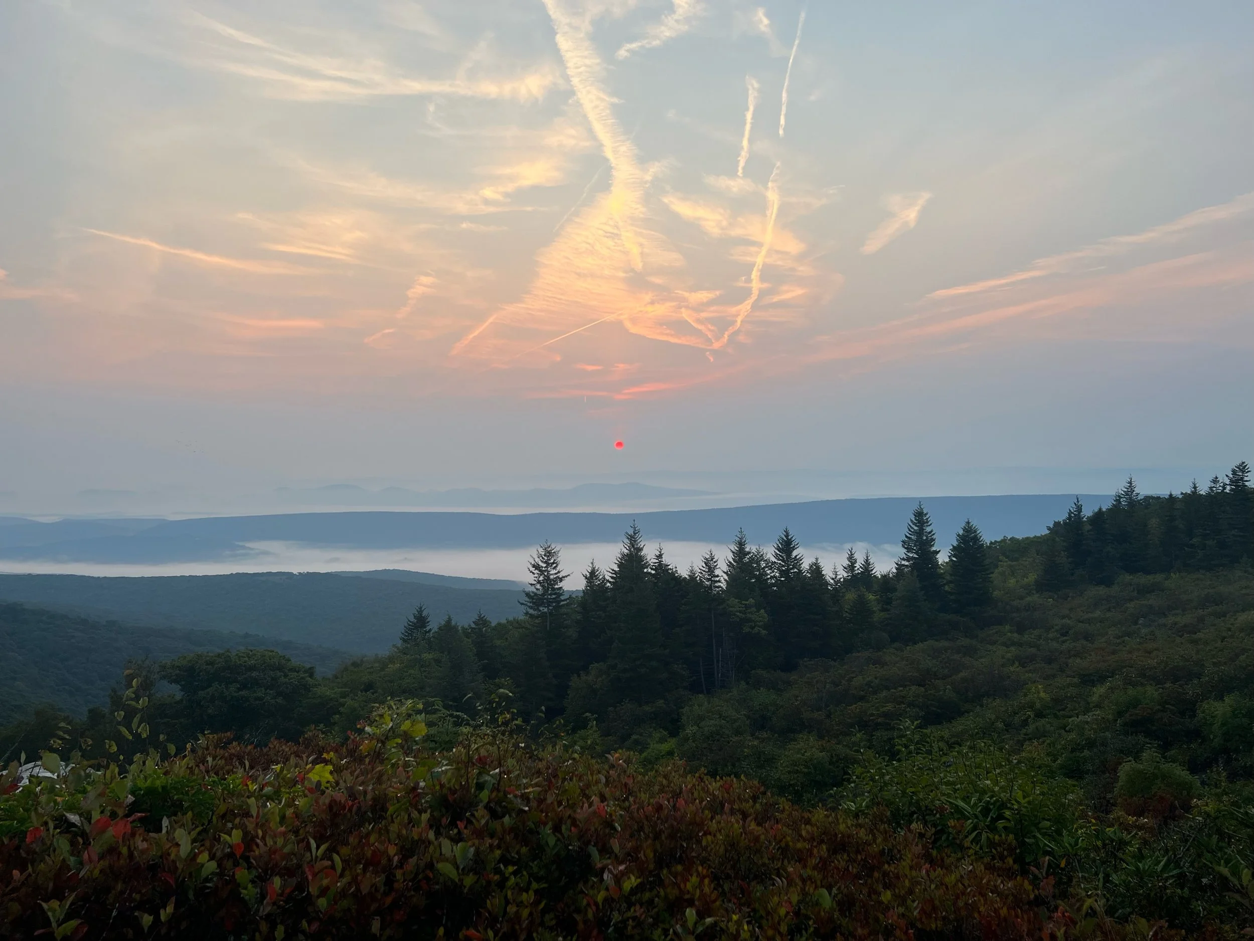
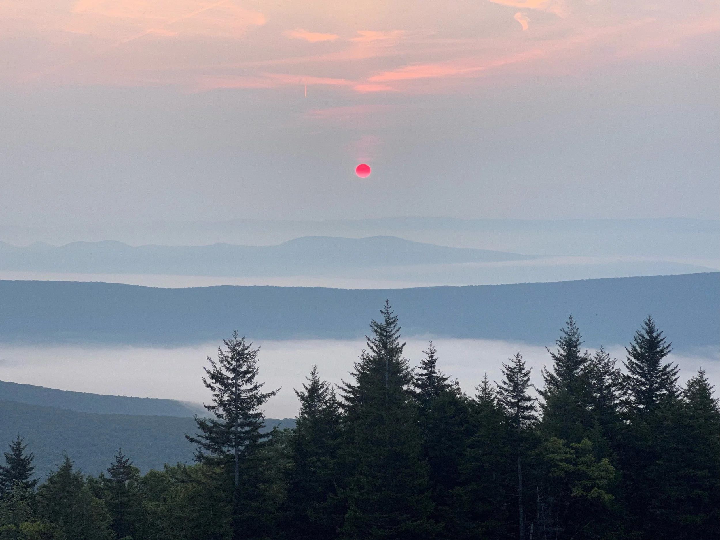
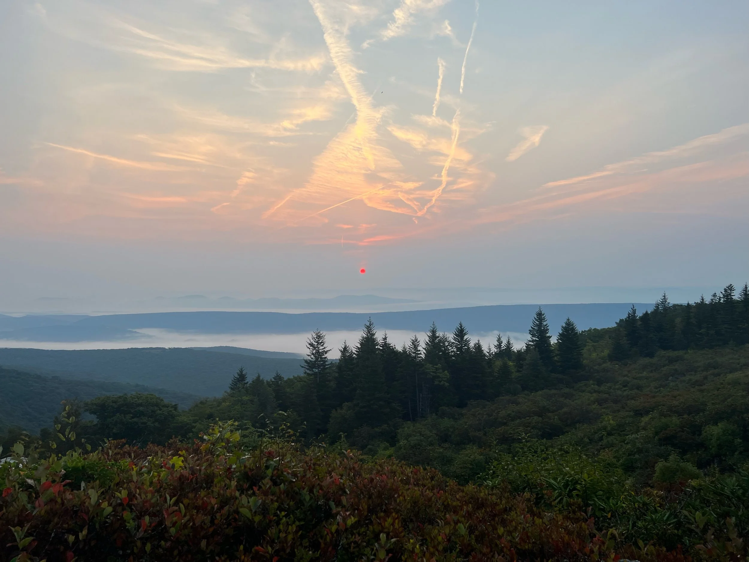
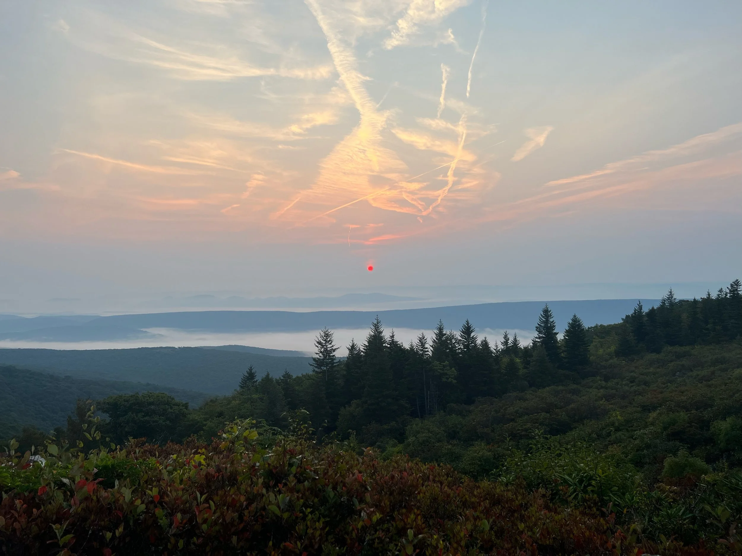
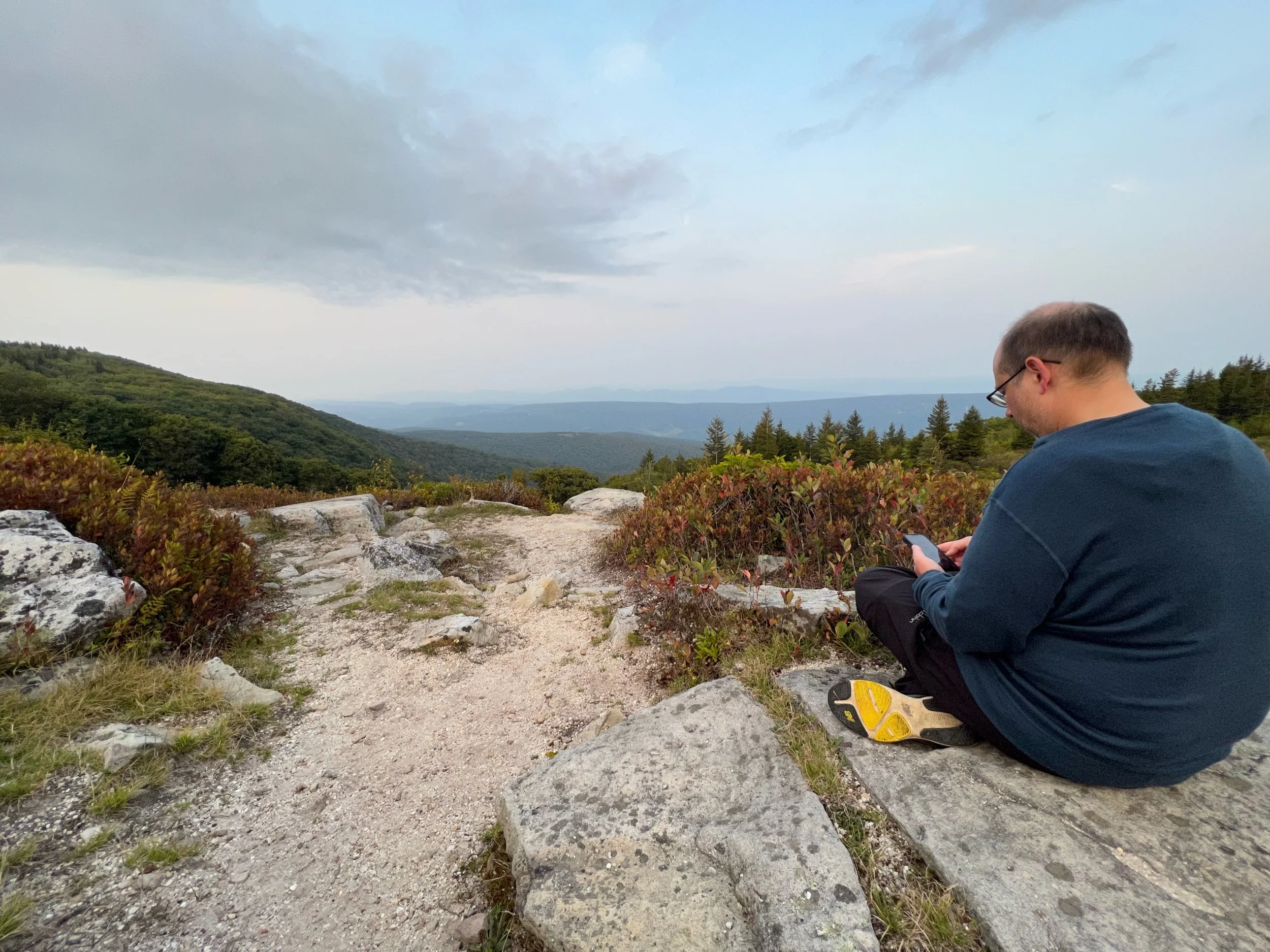
We watched the sunset from the overlook
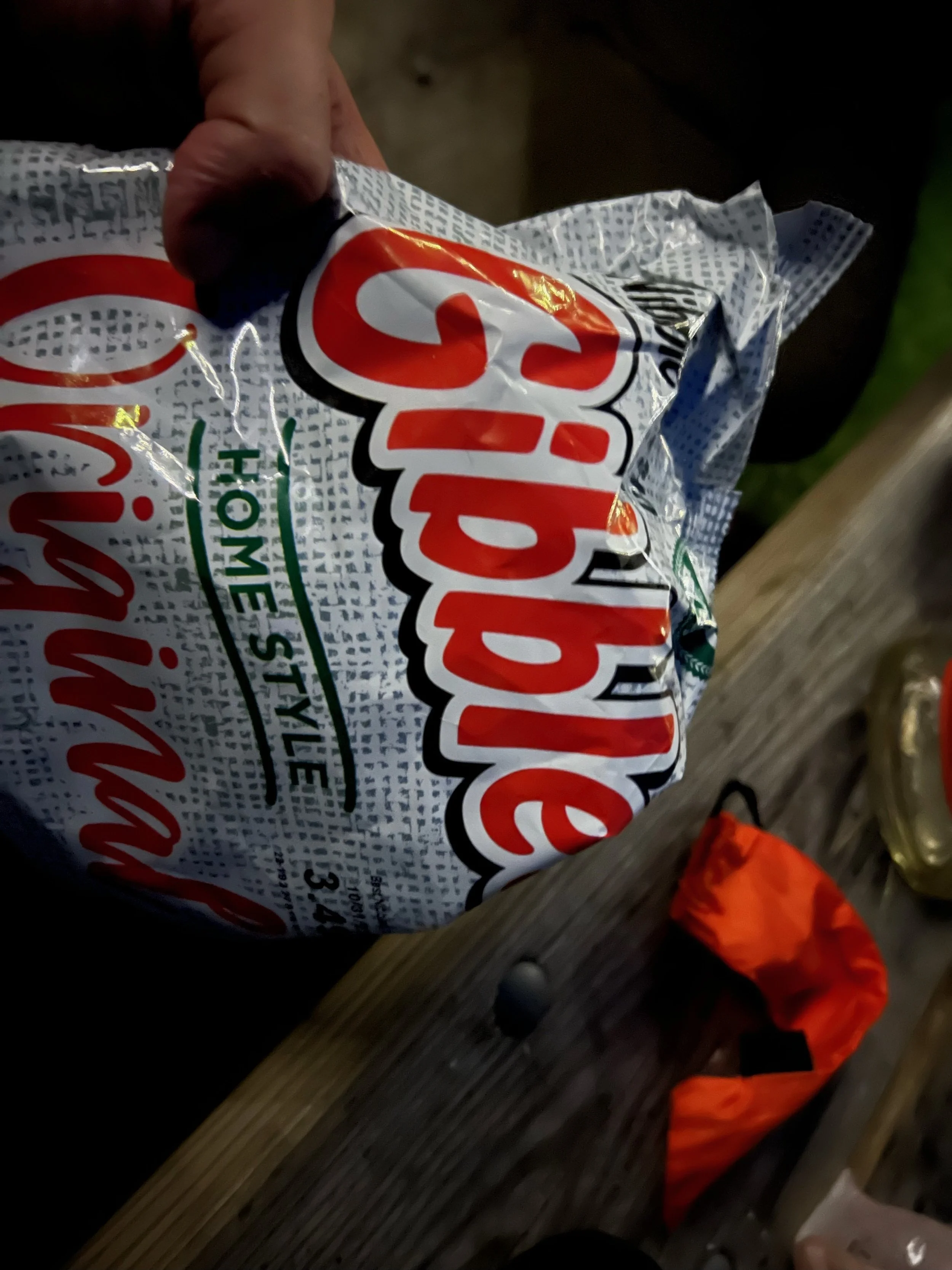
Dinner in camp. Salty potato chips and bourbon are a great combo after a long ride.
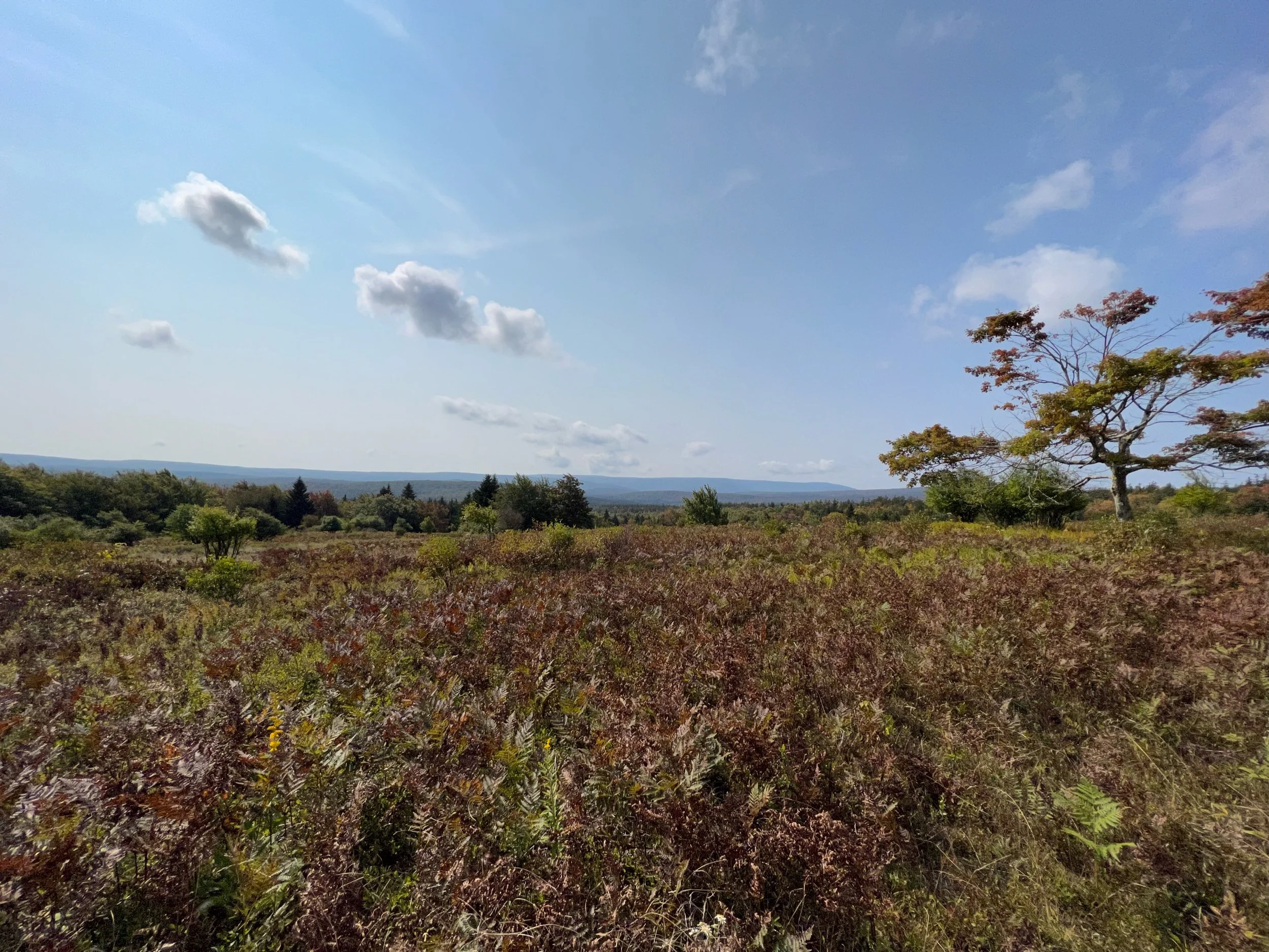
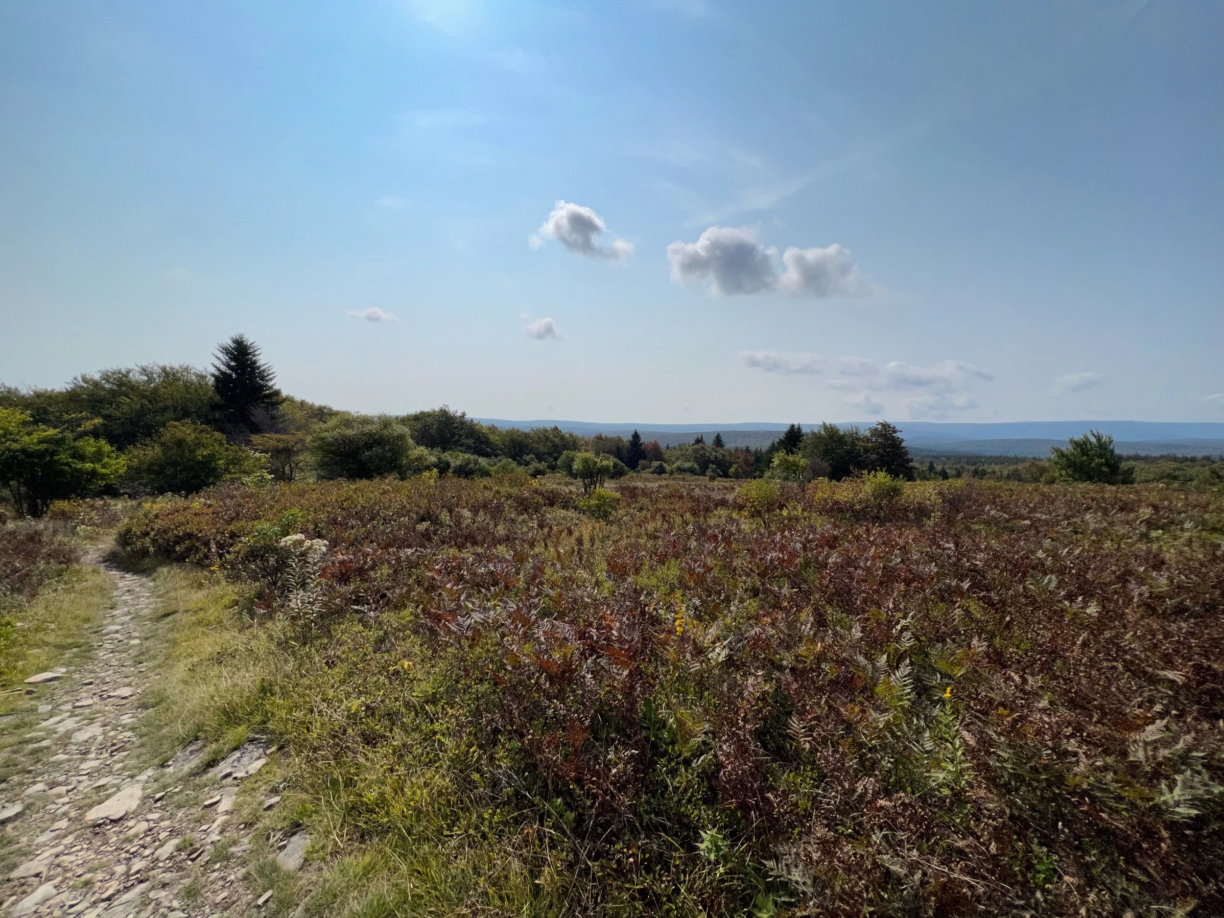
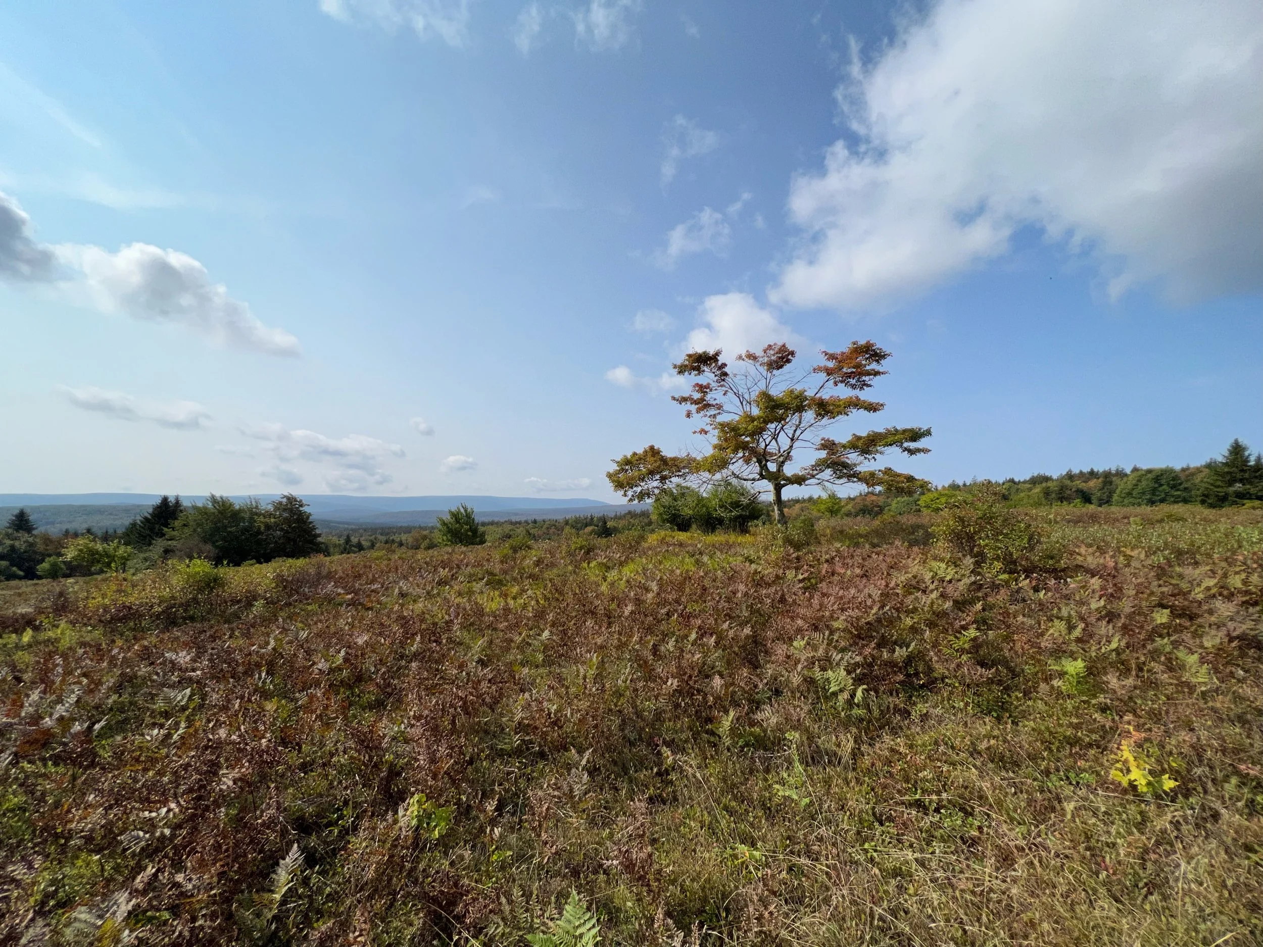
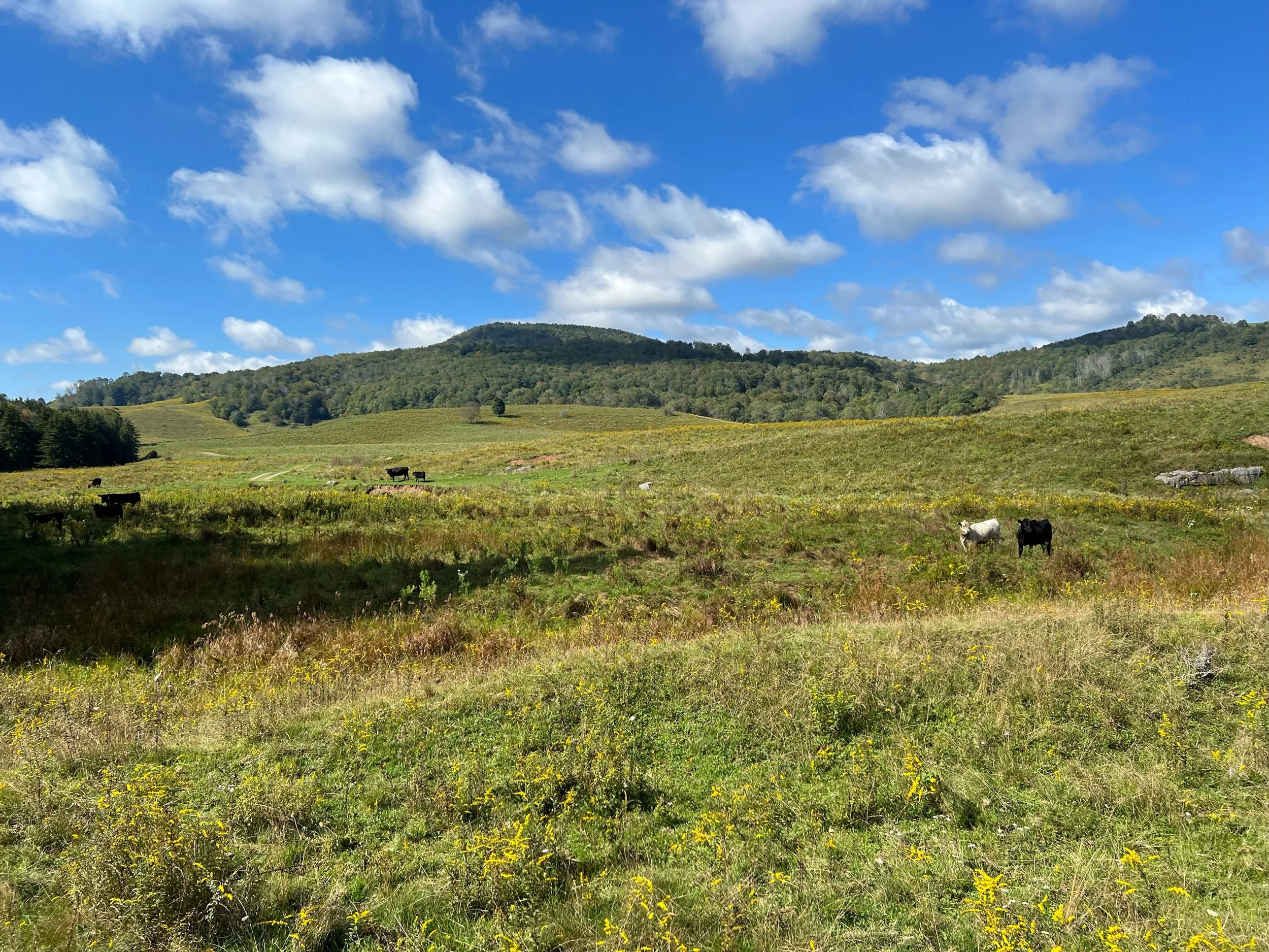
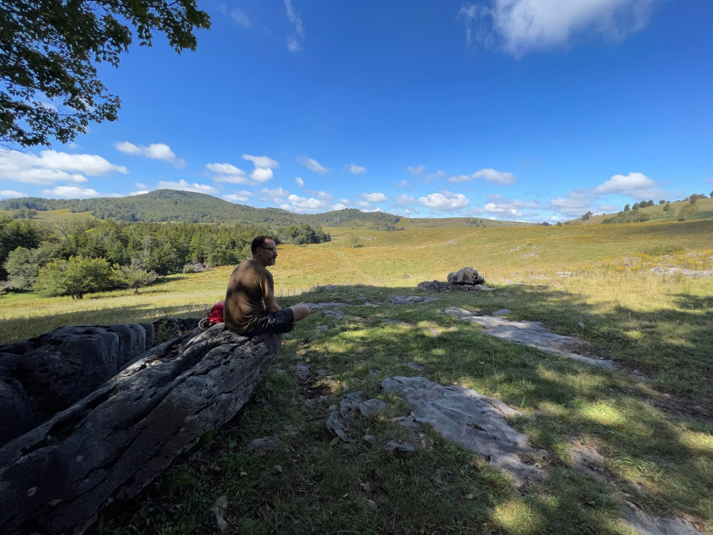
Looking west across Dolly Sods
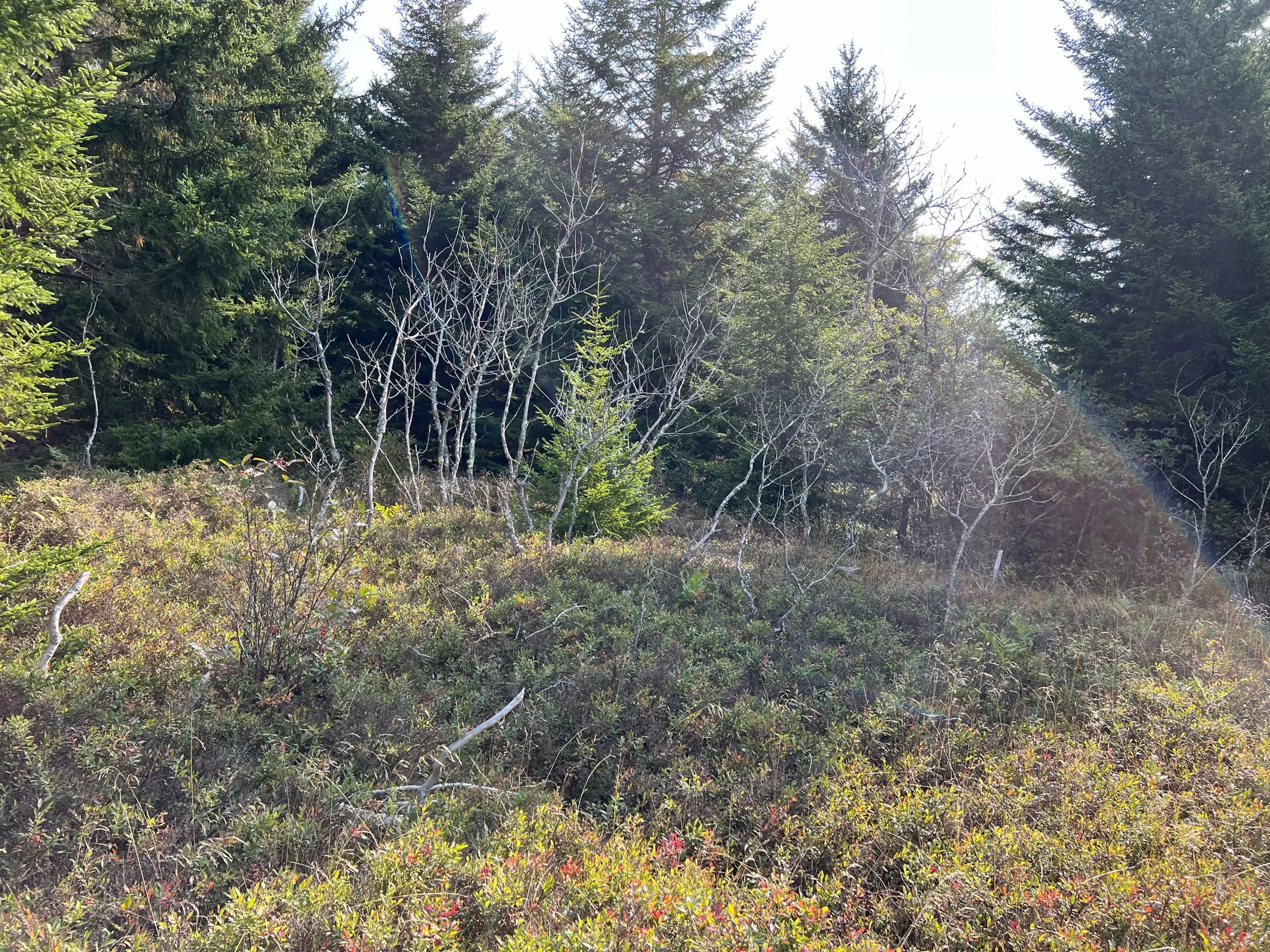
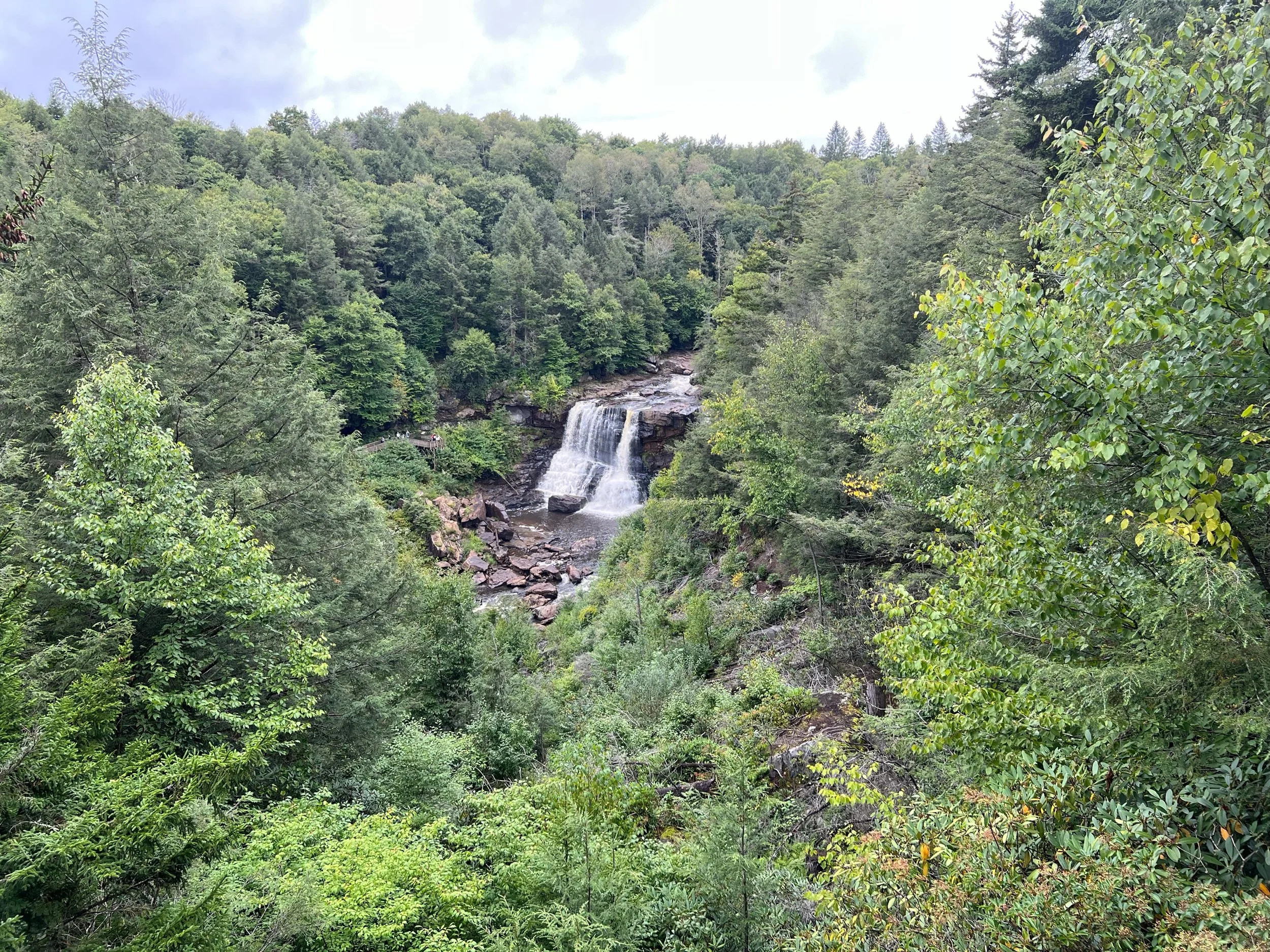
From wikipedia: Dolly Sods is a rocky, high-altitude plateau with sweeping vistas and lifeforms normally found much farther north in Canada. To the north, the distinctive landscape of "the Sods" is characterized by stunted ("flagged") trees, wind-carved boulders, heath barrens, grassy meadows created in the last century by logging and fires, and sphagnum bogs that are much older. To the south, a dense cove forest occupies the branched canyon excavated by the North Fork of Red Creek.
The name derives from an 18th-century German homesteading family — the Dahles — and a local term for an open mountaintop meadow — a "sods".


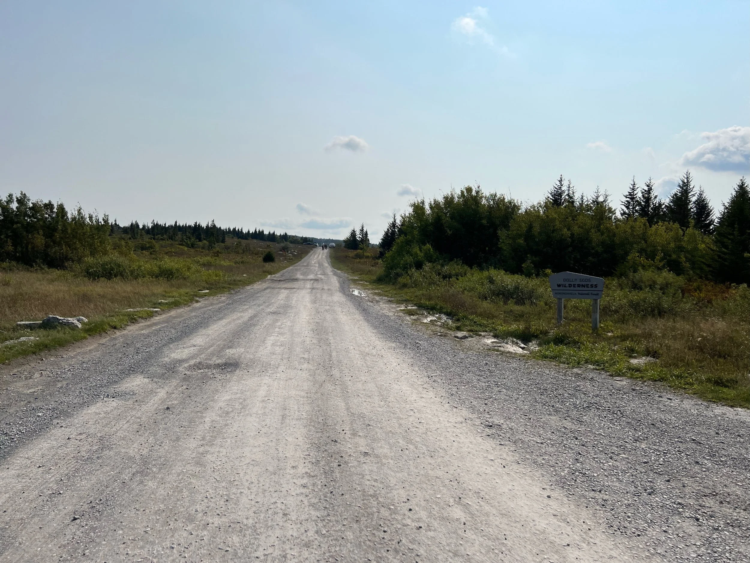


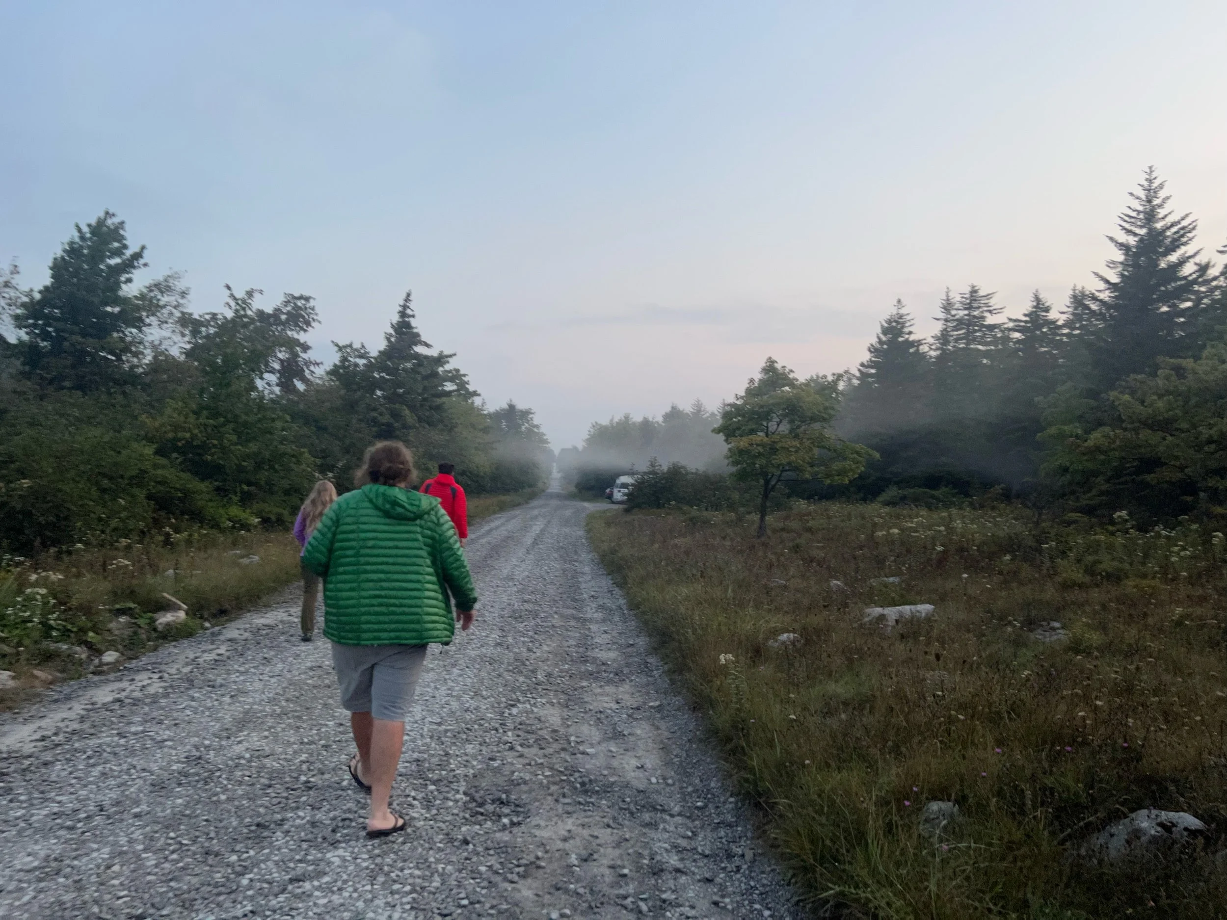
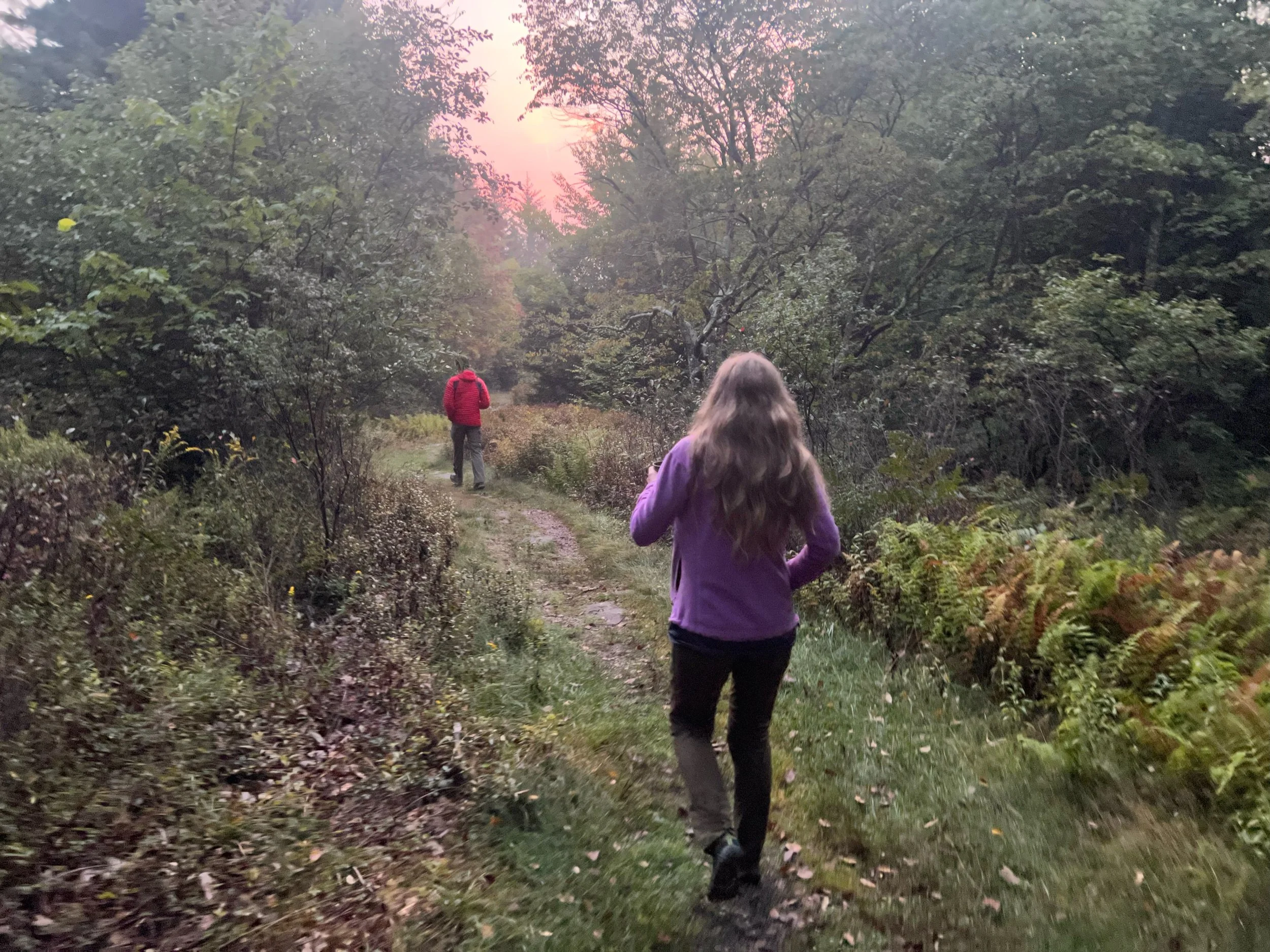
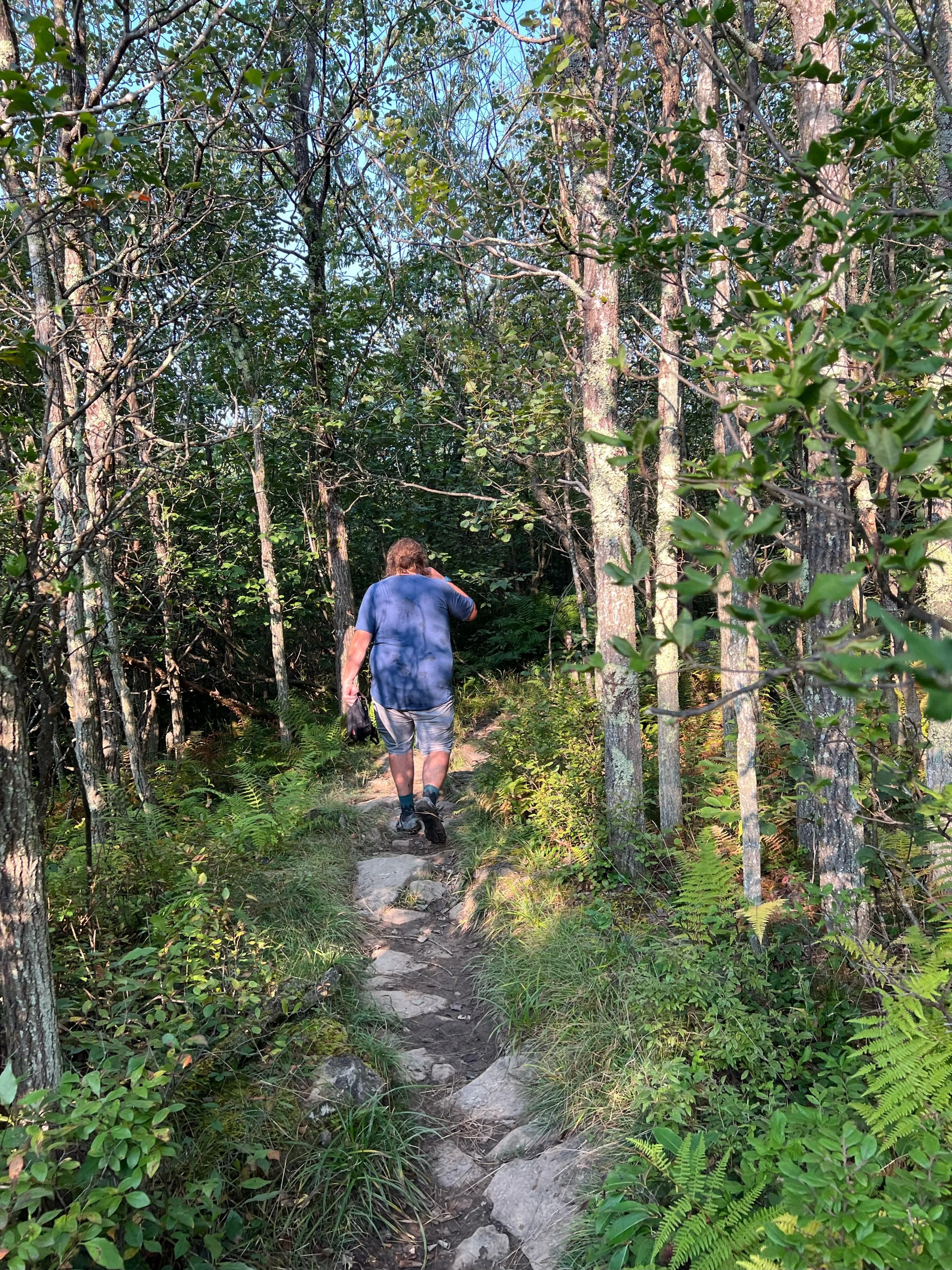
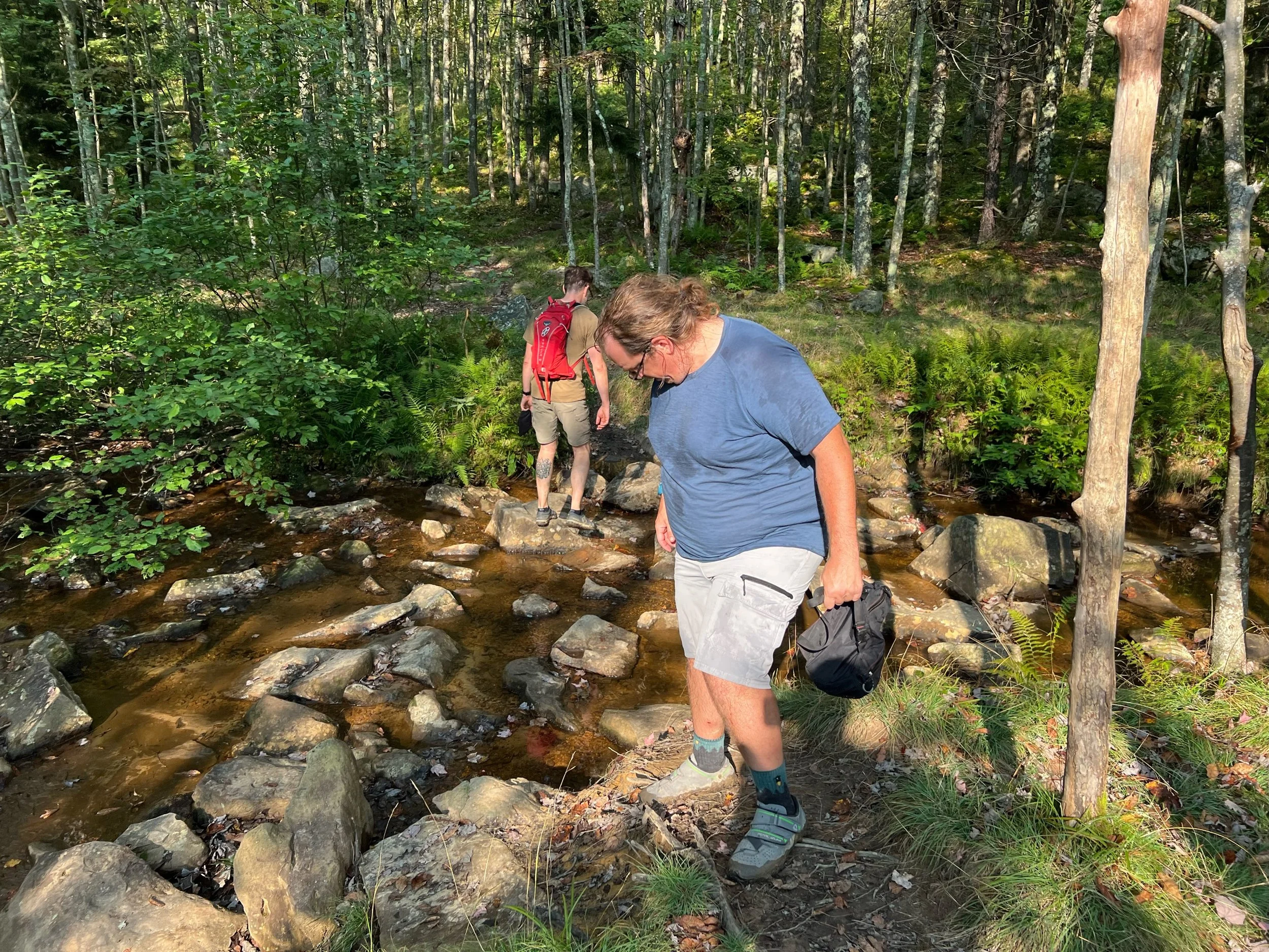
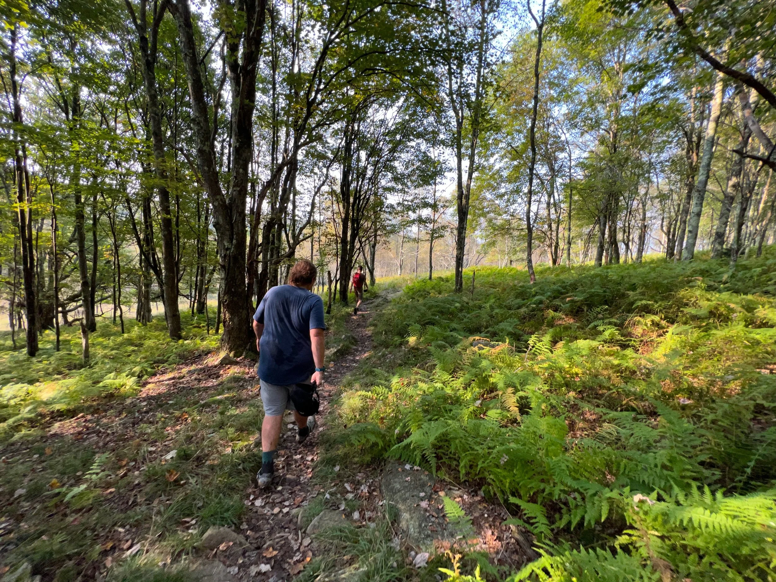
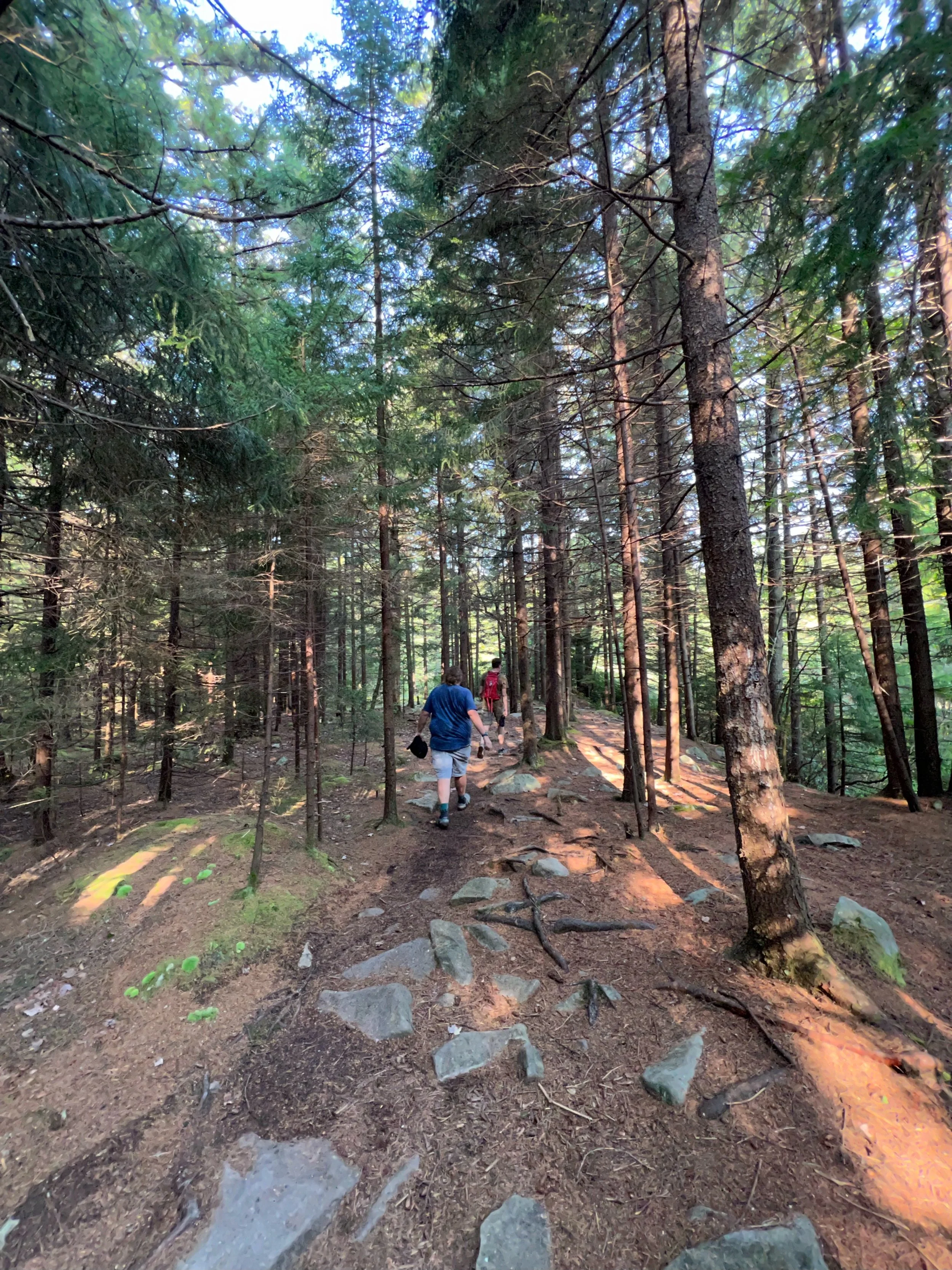
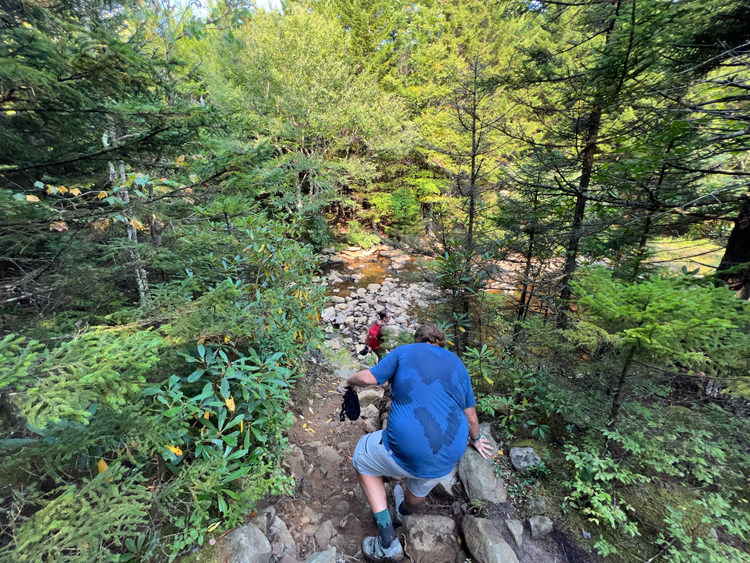
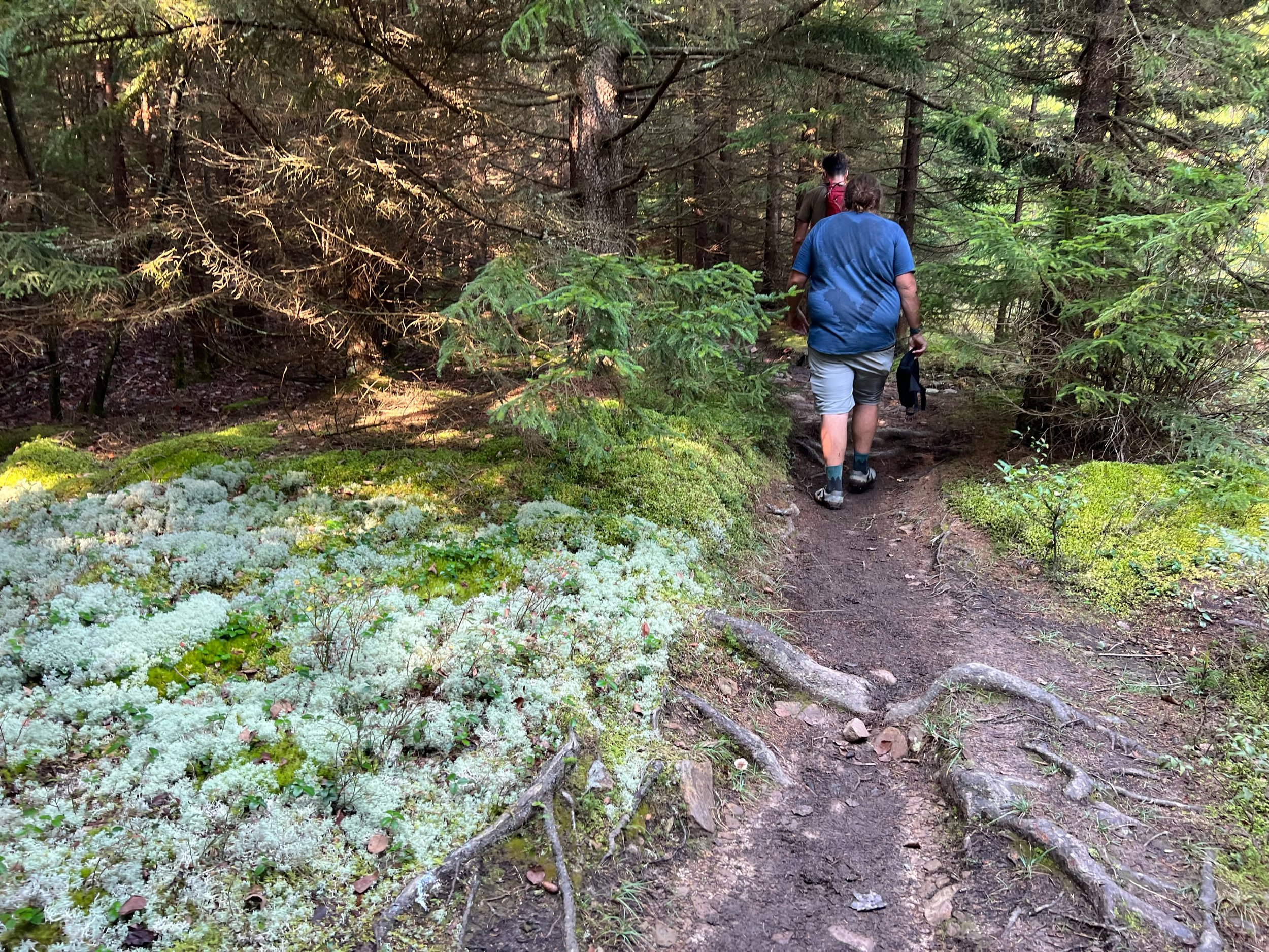
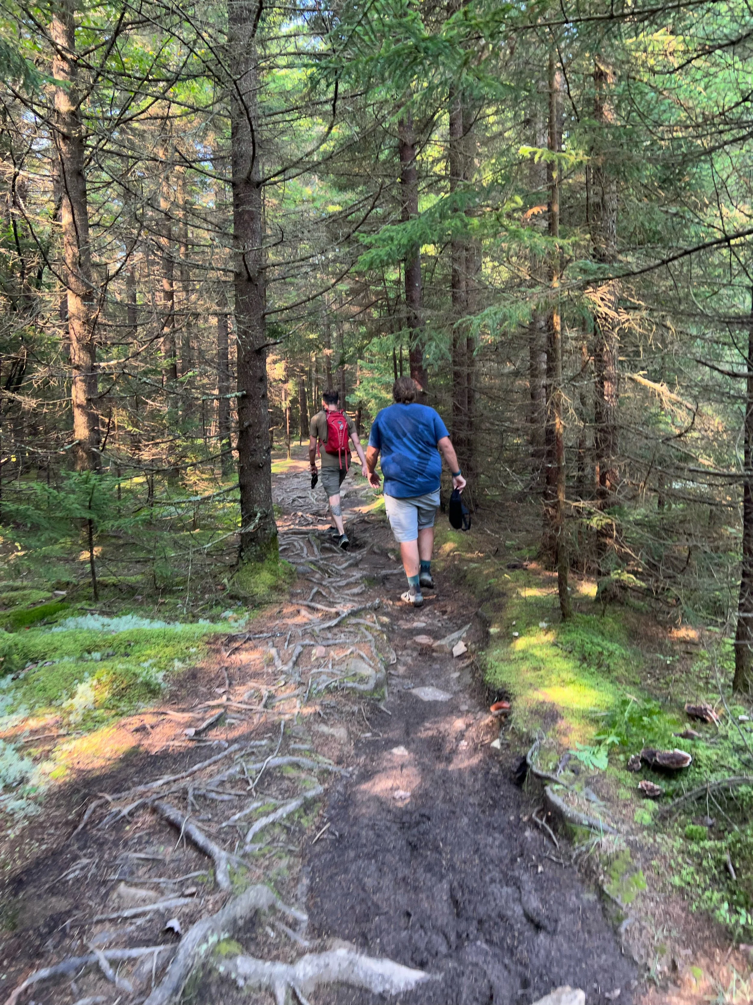
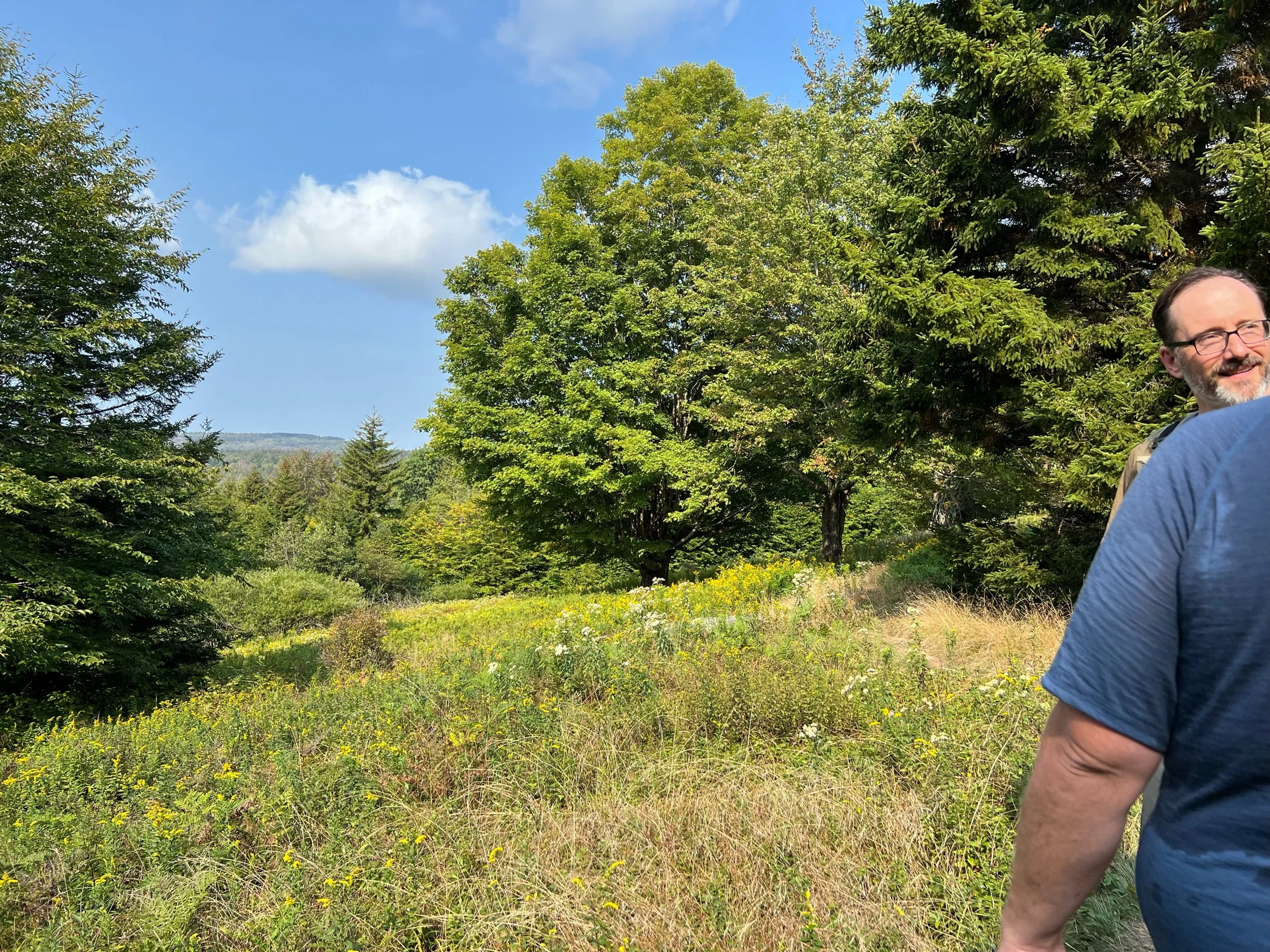
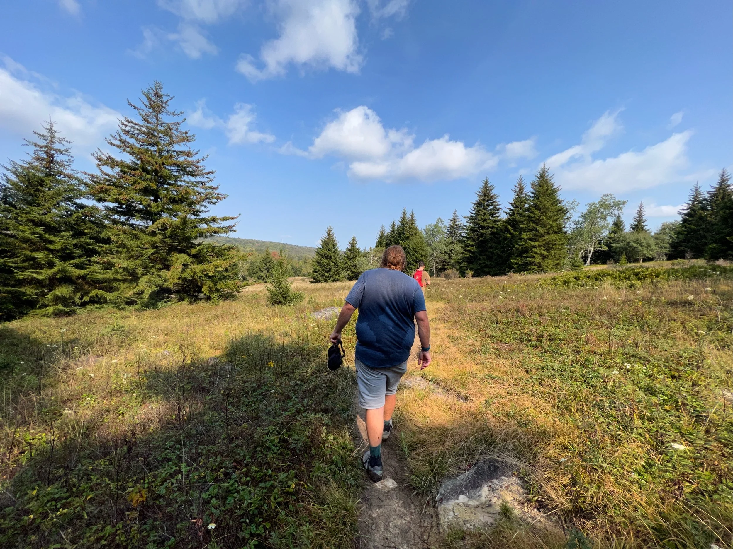
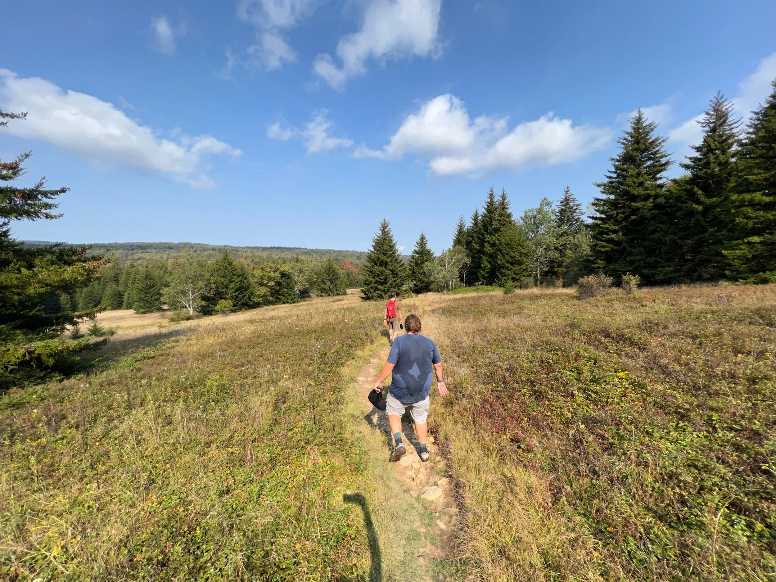
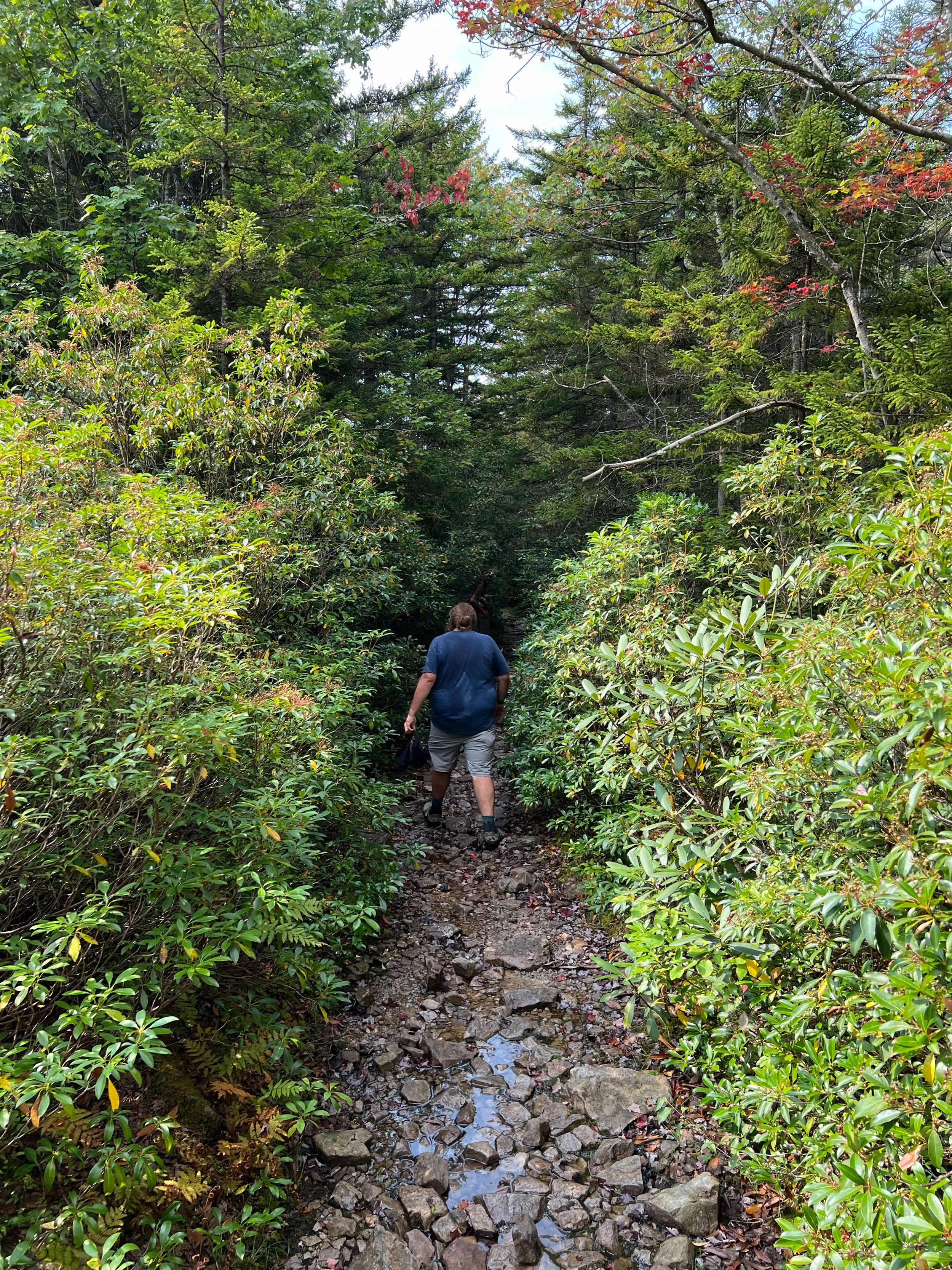
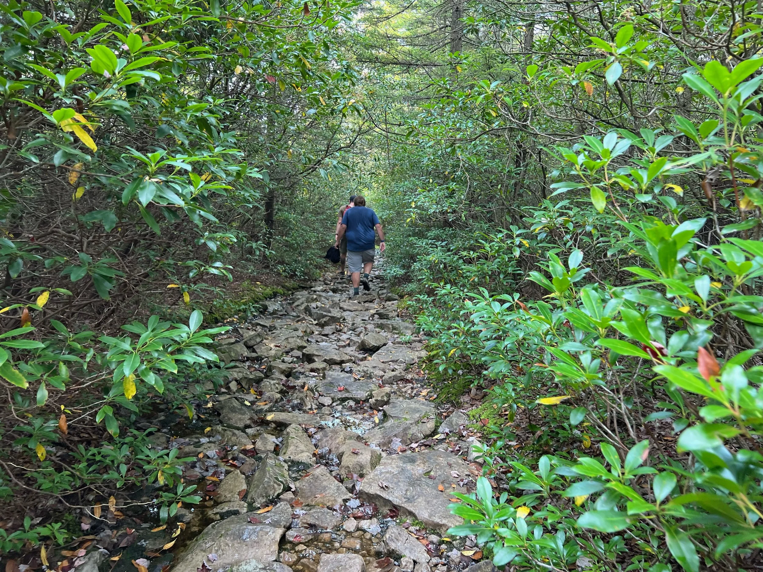
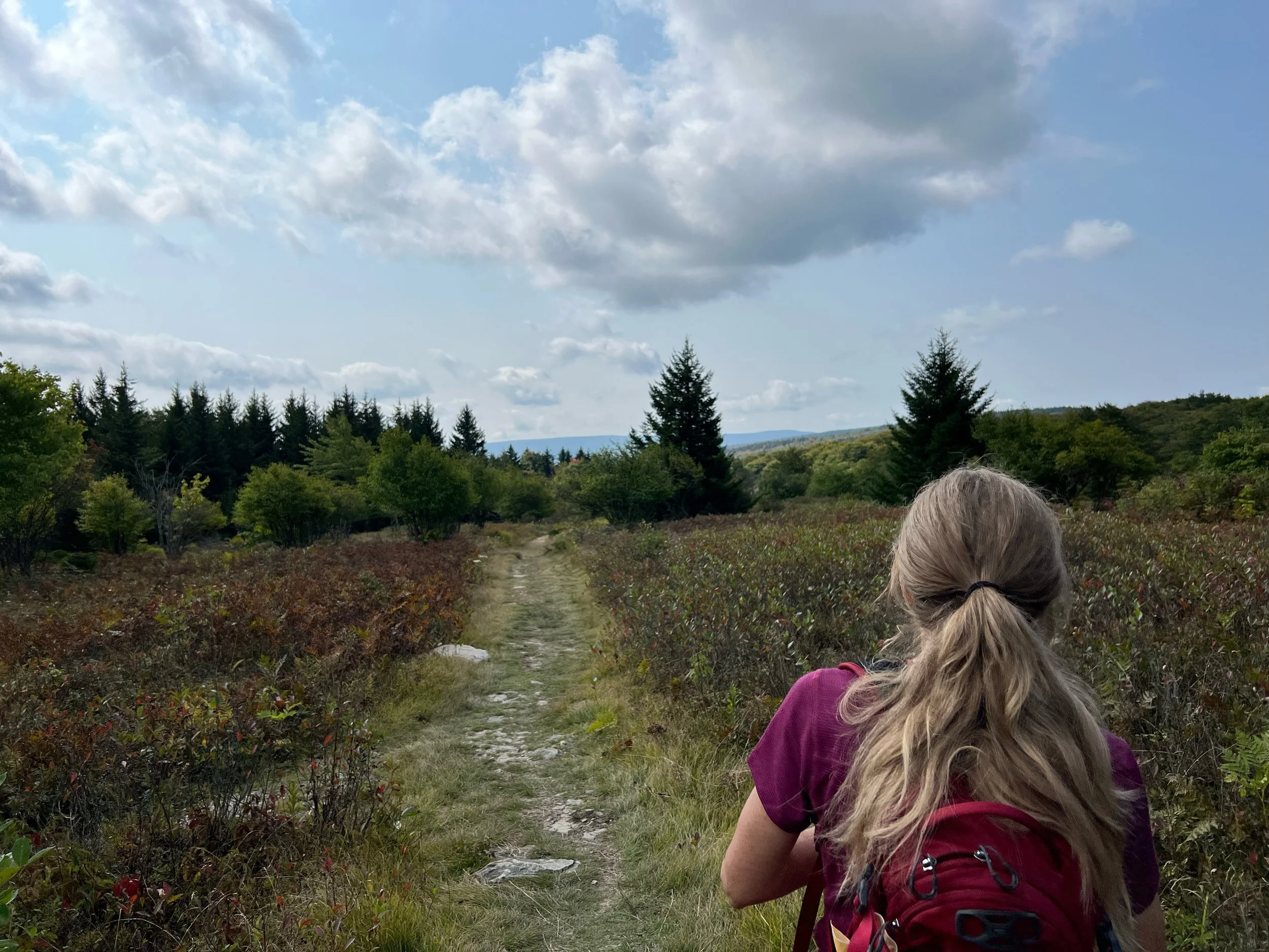
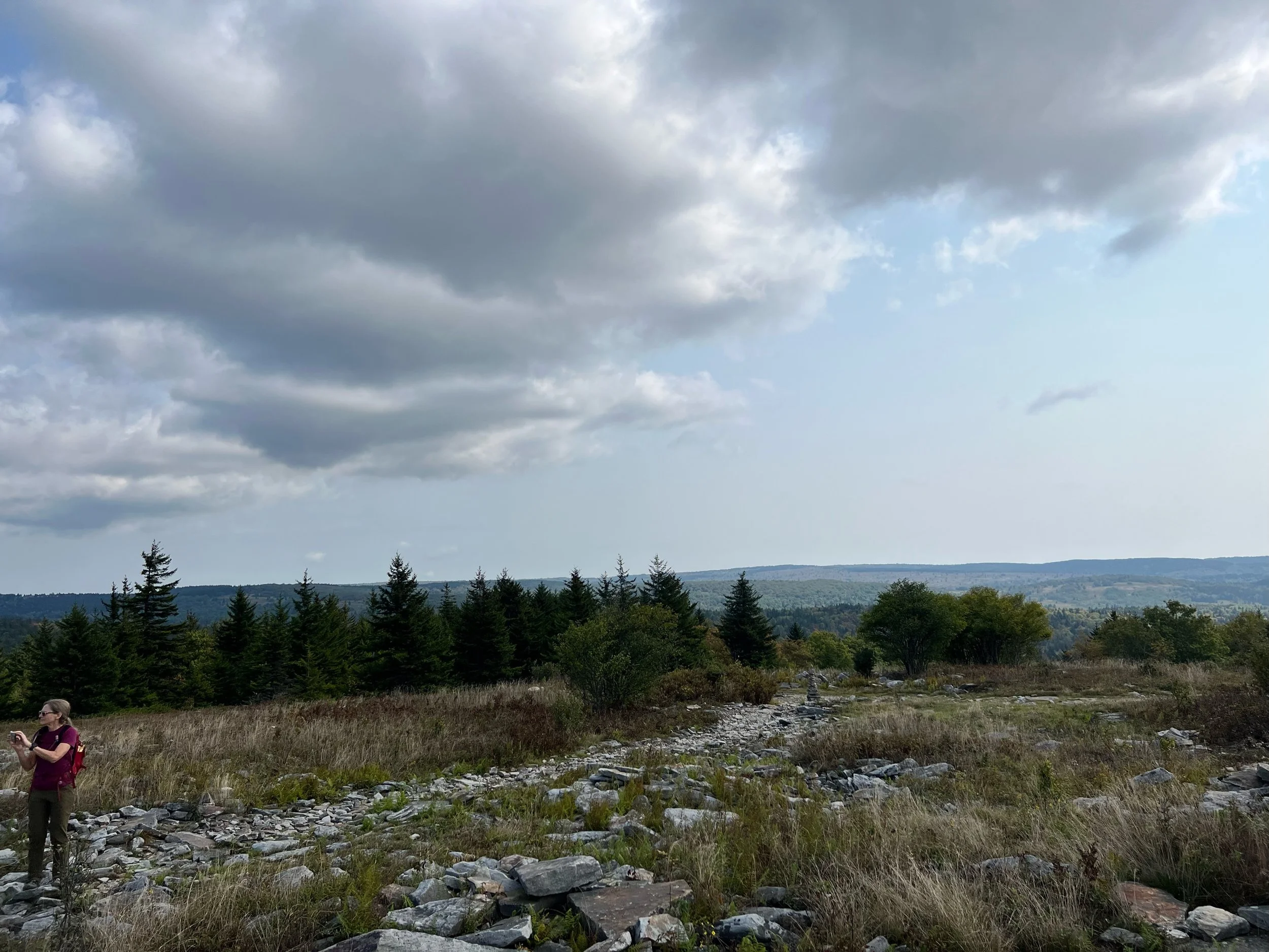
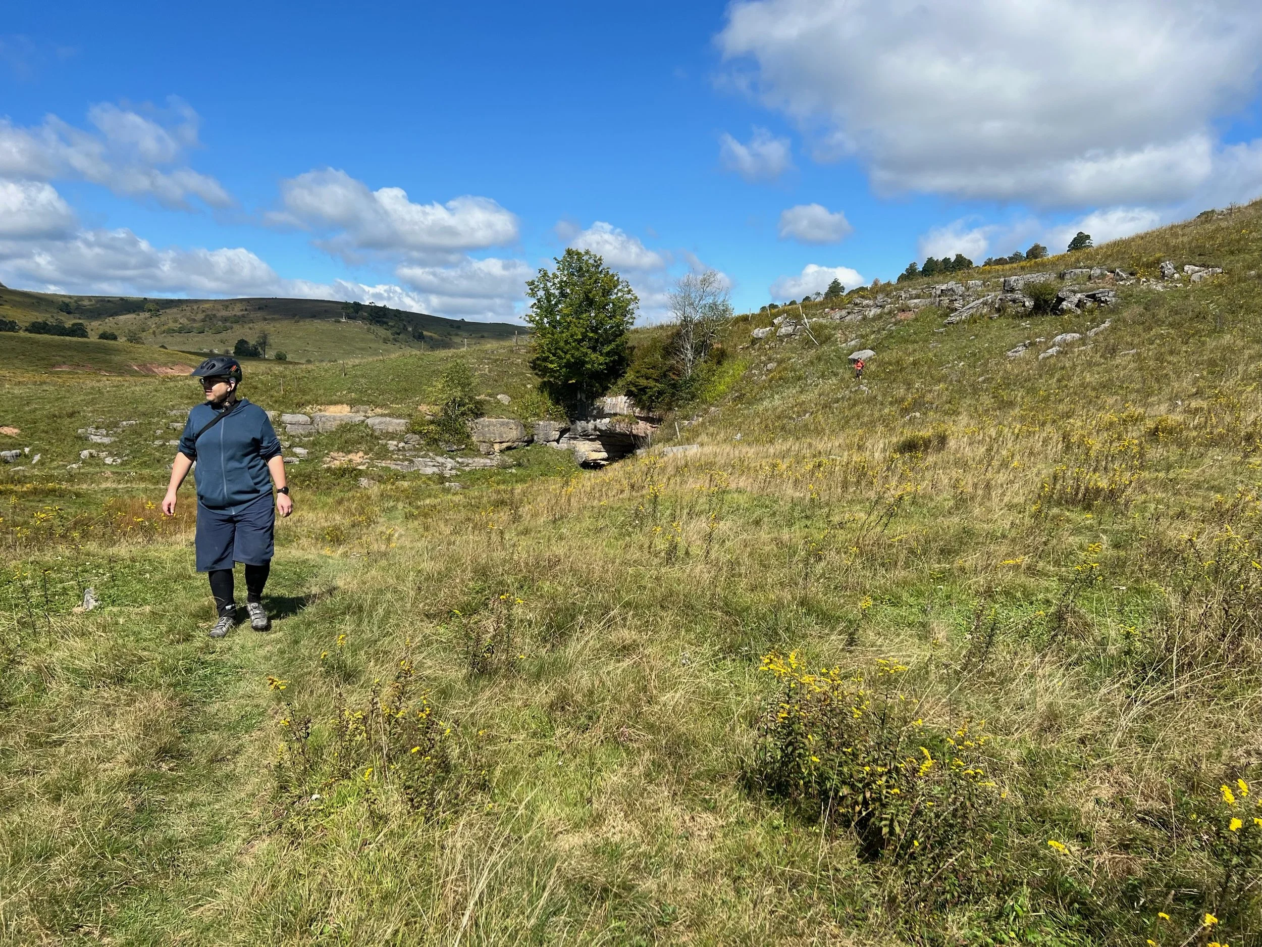
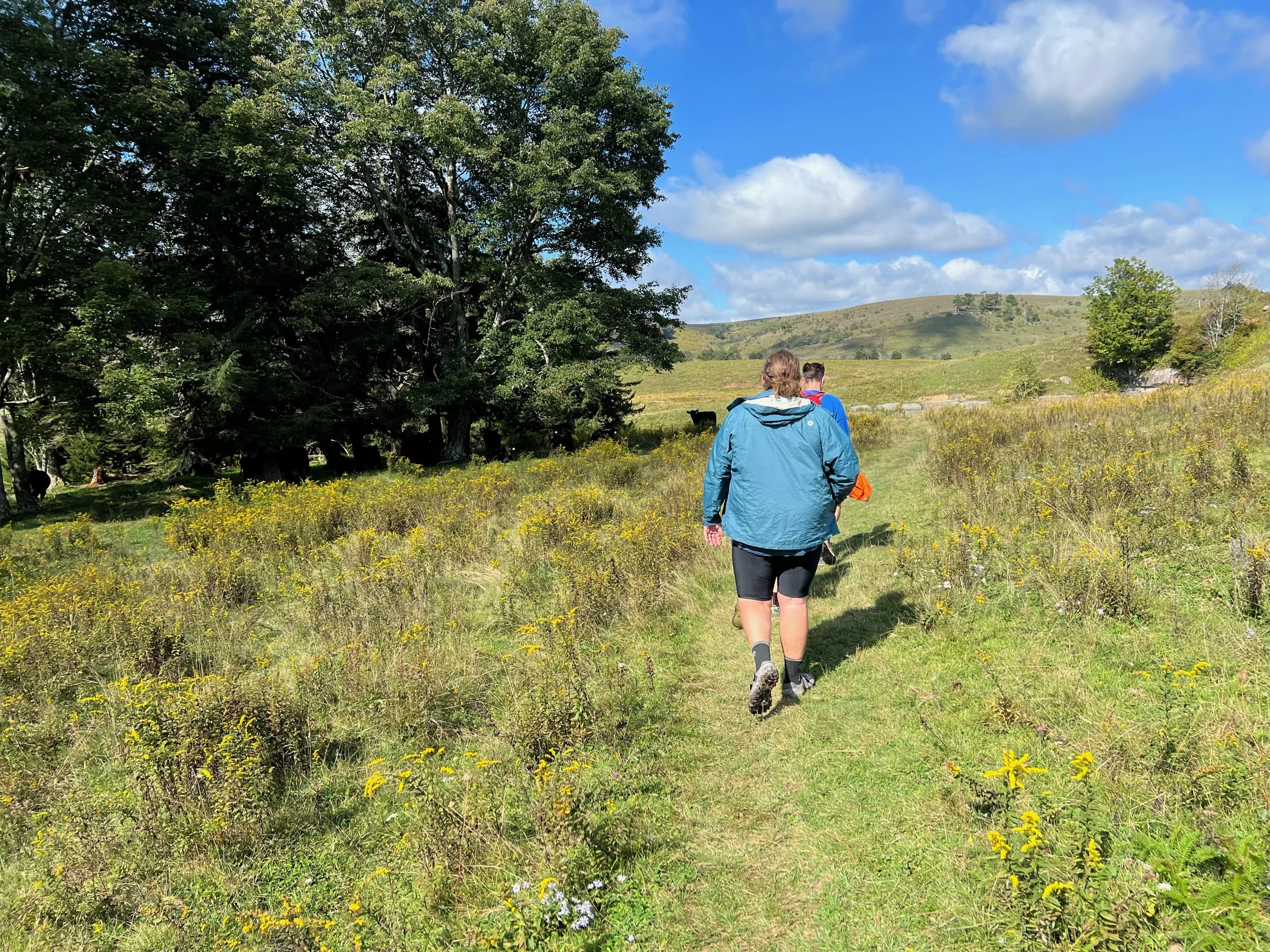
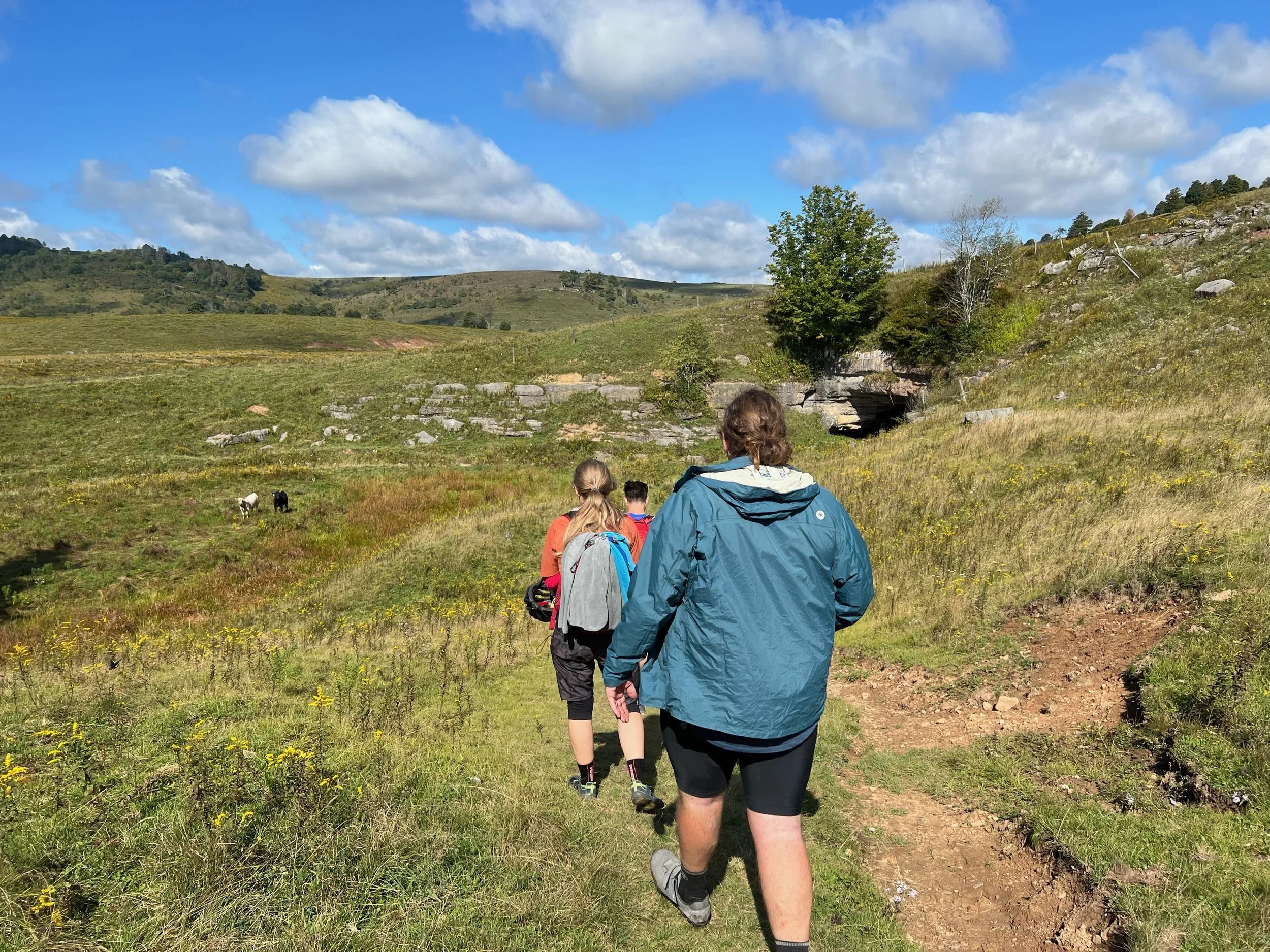
Red Creek Campground hike to Canaan Valley
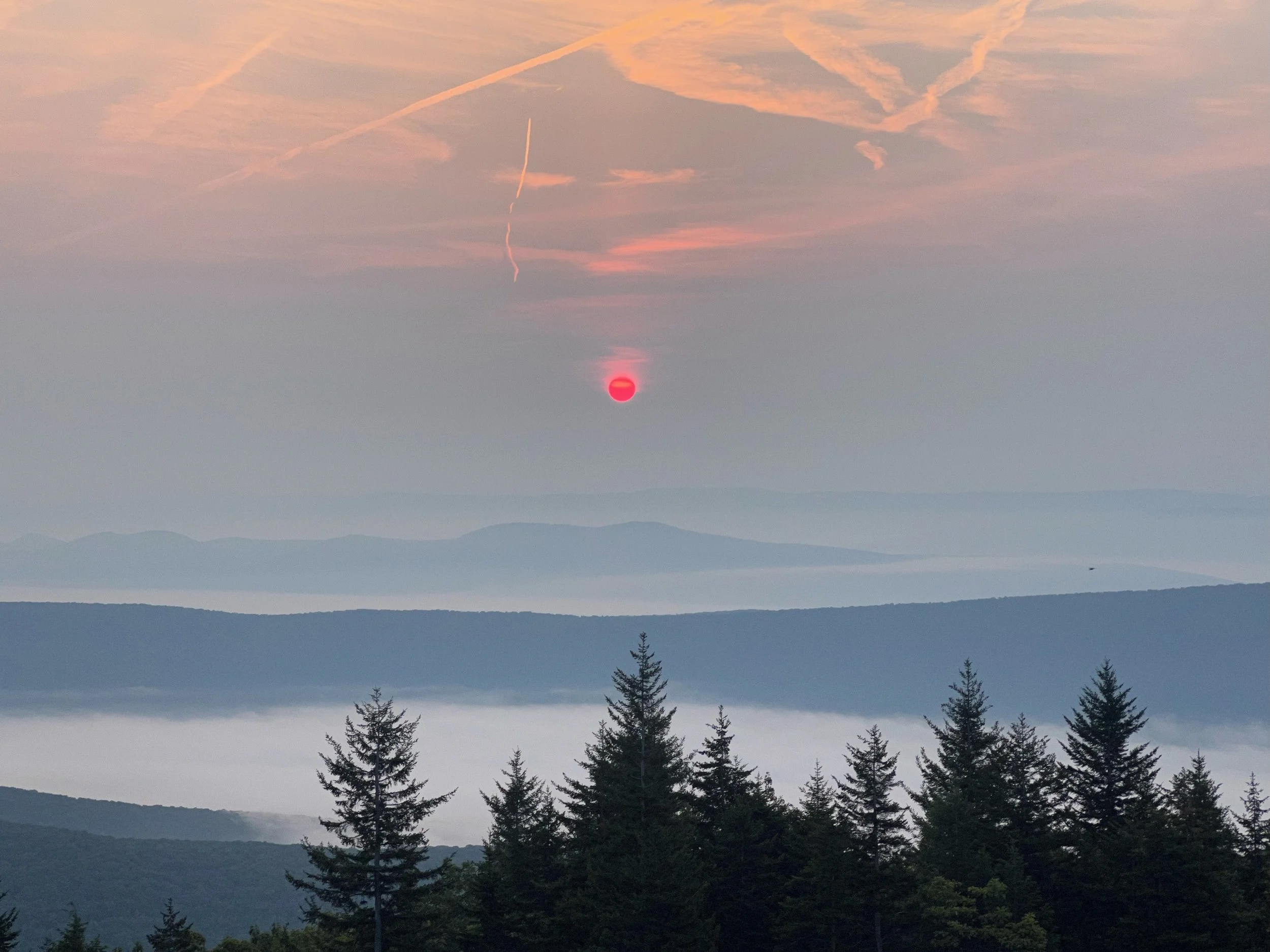
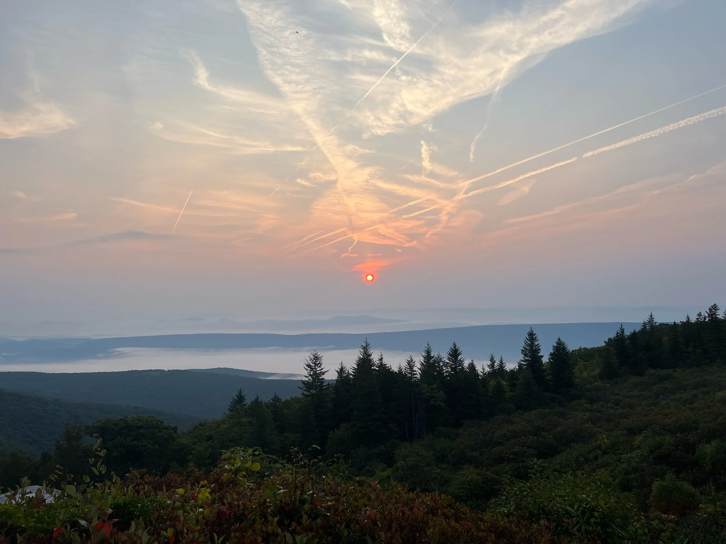
Day seven was not day seven. We decided after riding 6 days straight and the reality of riding mostly pavement back to the cabin in Canaan Valley that we could, and should, mix it up. The other wild card was the Laneville Bridge was closed to traffic due to failed inspection and we were uncertain if we would have to ford Red Creek. We made some coffee and watched a beautiful sunrise over the ridges. Then we moved our gear to one campsite and paid for another day. We bid Tim farewell as he headed back to Columbus and headed out on the Blackbird Knob Trailhead which took us through the heart of the Dolly Sods Wilderness back to Canaan Valley. Once we got back to the cabin we took showers and loaded up our gear into the cars. After a stop in Davis, WV to grab some local beer we headed back to Dolly Sods to grab our bikes and camping gear before the drive back home.