
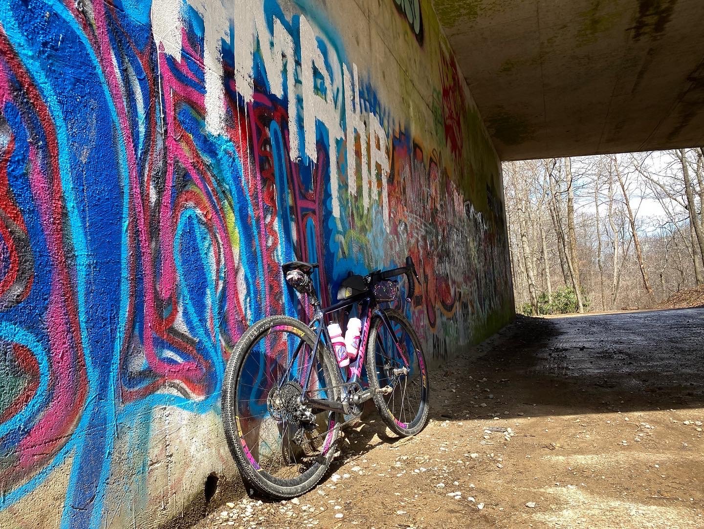
Brevard Basecamp
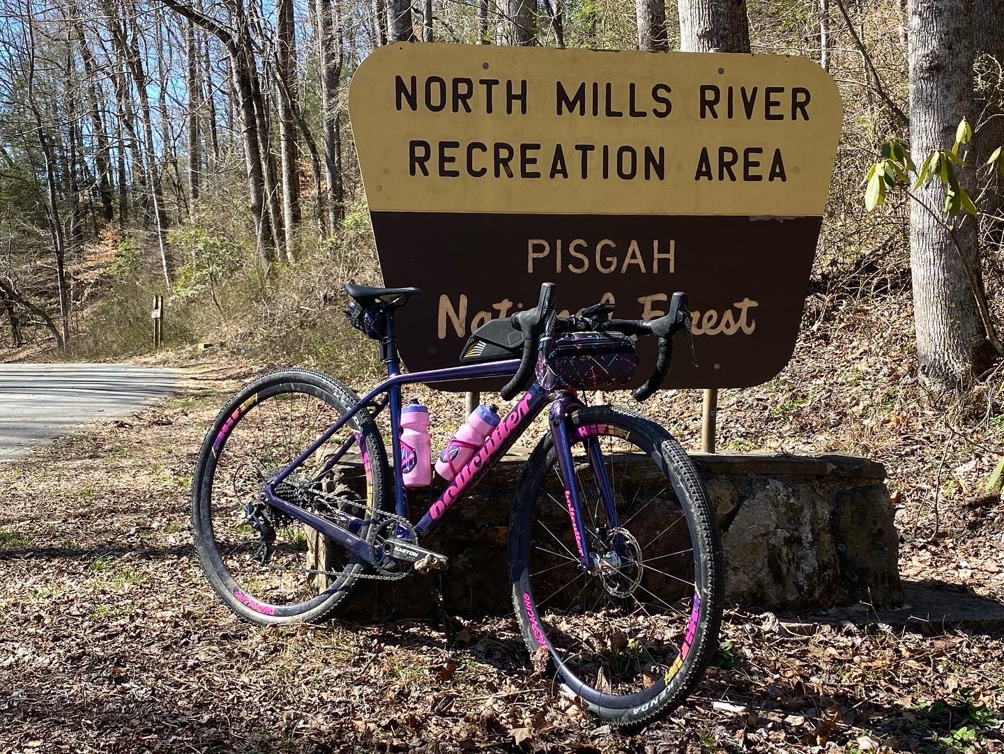
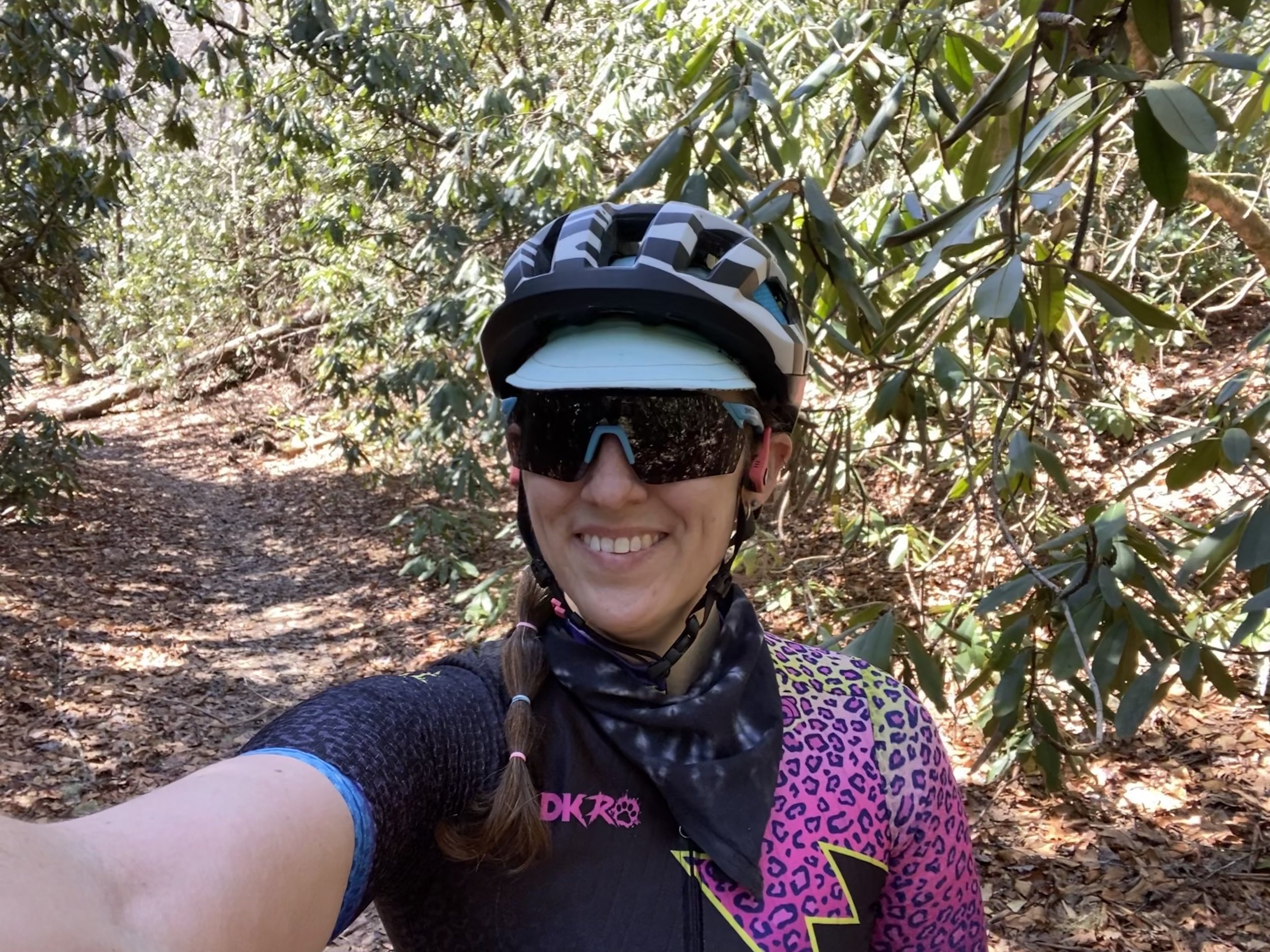
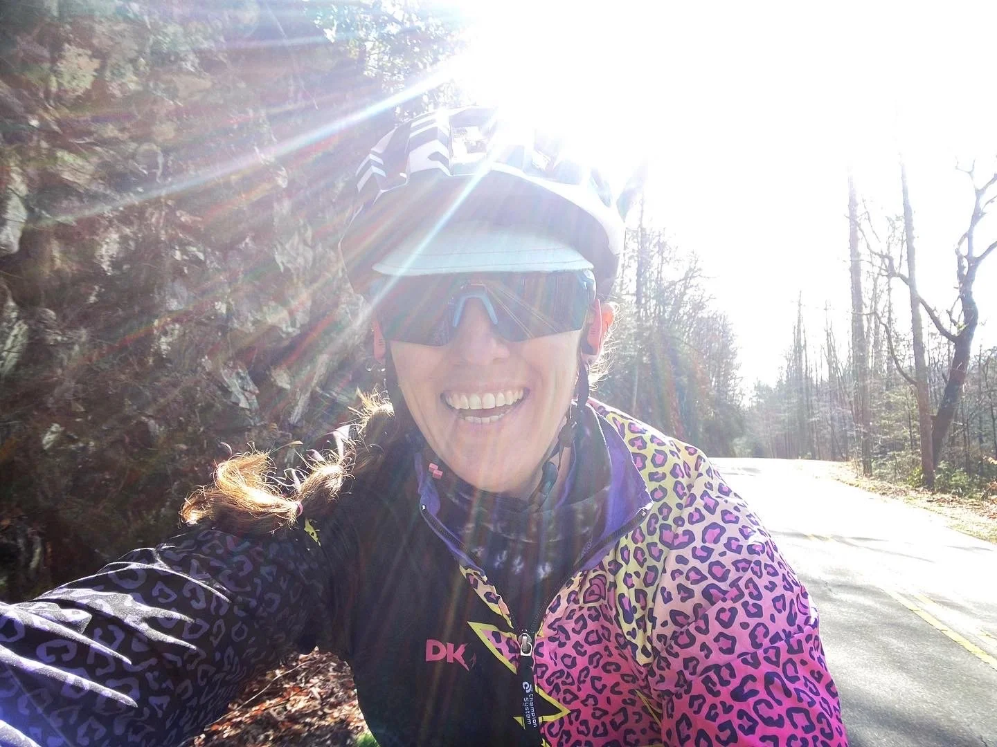
I was lucky enough to receive an invitation to go down to Brevard NC, home of Pisgah and some amazing gravel, for my spring break. We stayed at a fantastic air bnb located within walking distance of downtown Brevard and close to a great bike path system that would take me out onto some amazing gravel roads no matter which way I headed. The hosts even have a bike repair stand and cleaning station set up for you to use after you come back from the trails. While the Pisgah area is probably most well known for the AMAZING mountain biking trails, I chose to focus instead on the gravel riding. The weather was off and on rain all week and I didn’t want take any chances on enjoying it on two wheels.
Day 1: The day that my close reading skills failed me.
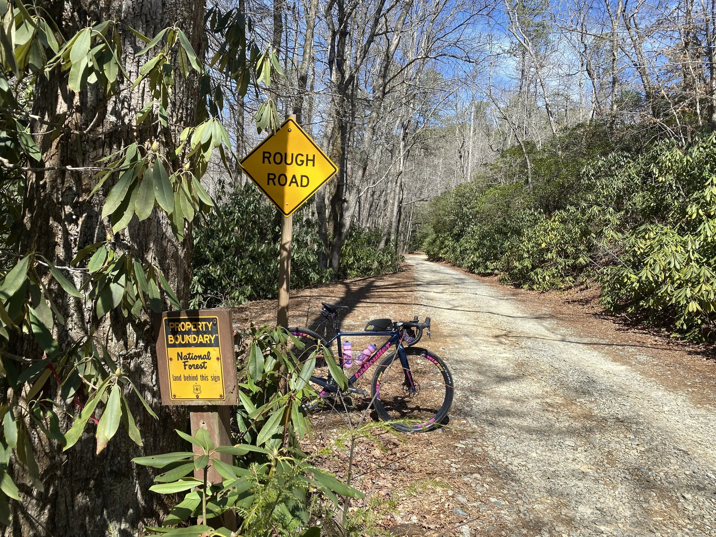
I scoured Ride with GPS for route suggestions and then reached out through social media to find local folks who could preview the route for me and say yay or nay. The goal for day 1 was to ride for 4-5 hours and just enjoy the glorious sunshine. I found a route that I read the title as “Pisgah Peddler”. It was 54 miles and went past two breweries and a campground. Easy ways for me to get back in touch with help if I needed it. I ran it past a local that I met through social media who informed me that it was an “adventure" route that Todd Poquette from The Crusher and Marji Gesick fame would enjoy. I think she thought this would send me in search of another route but it really just made me even more excited! She also mentioned 4 water crossings on the route. This will be important later.
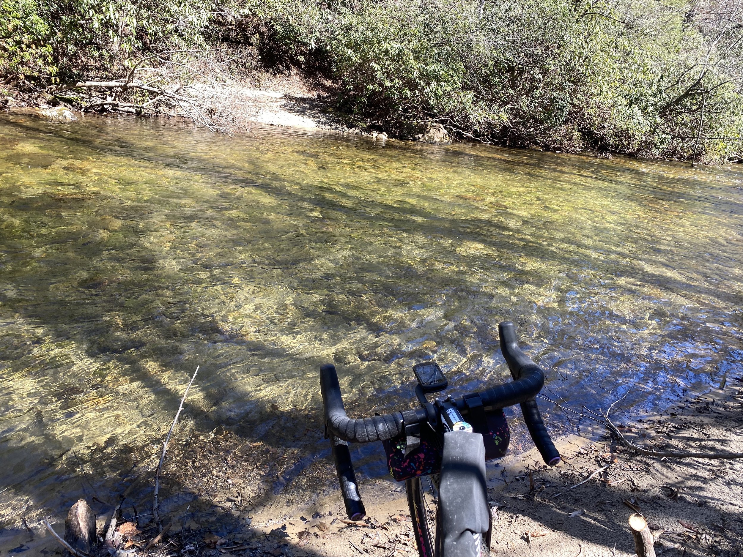
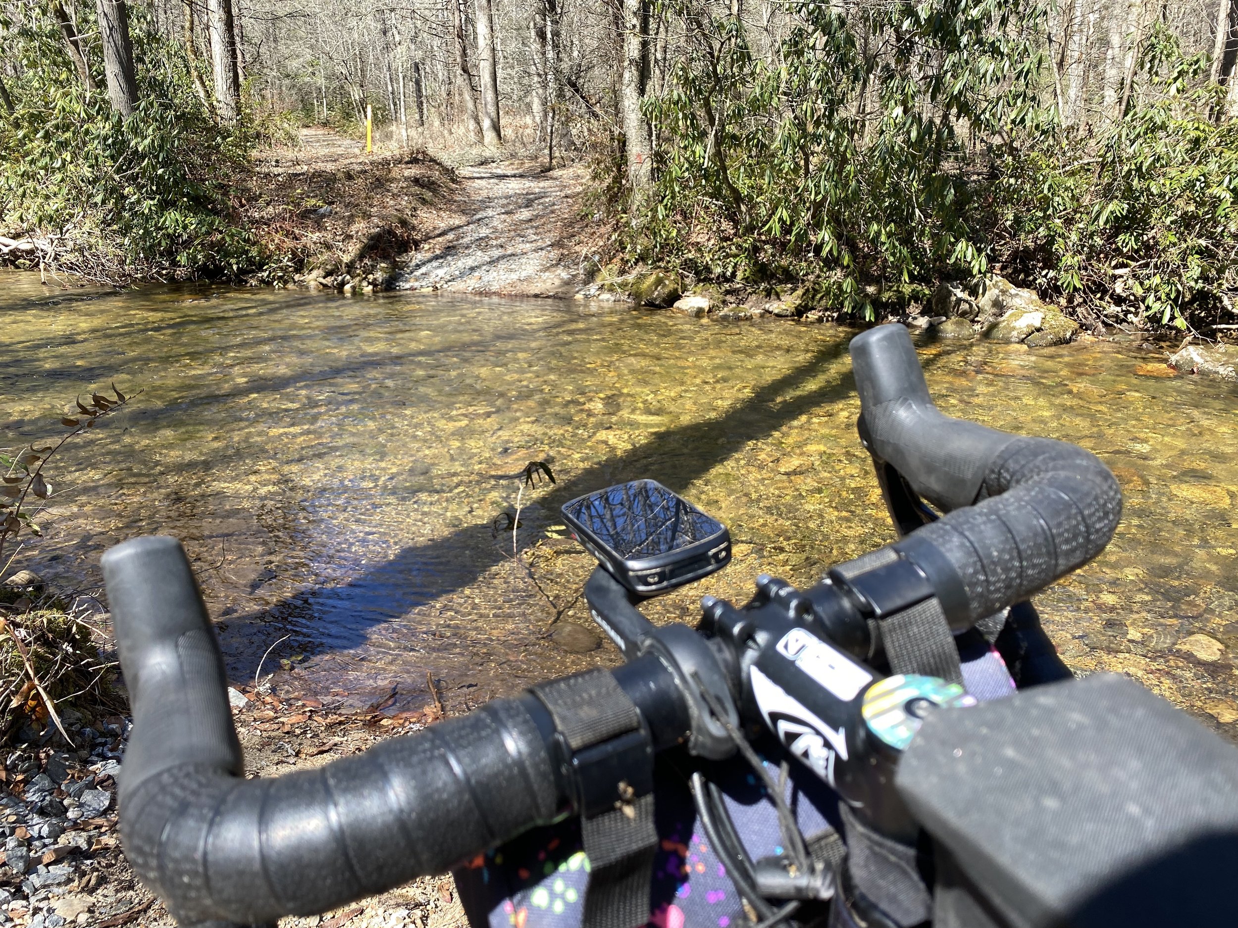
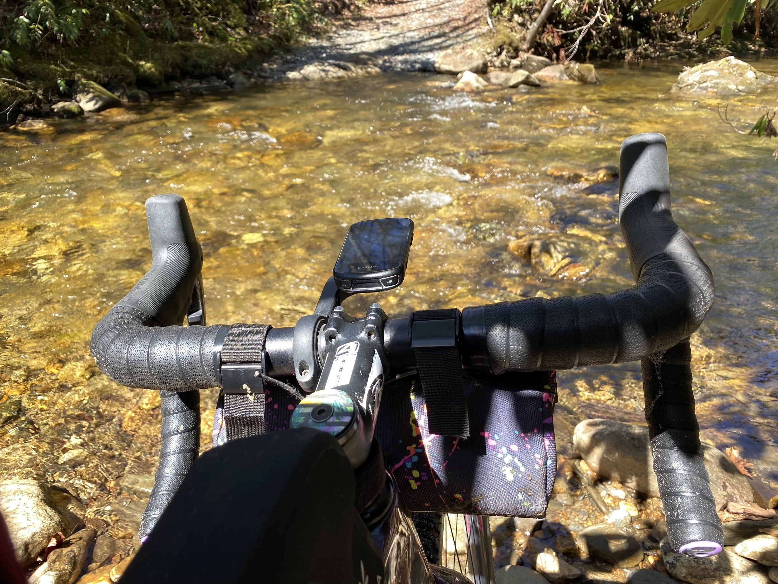
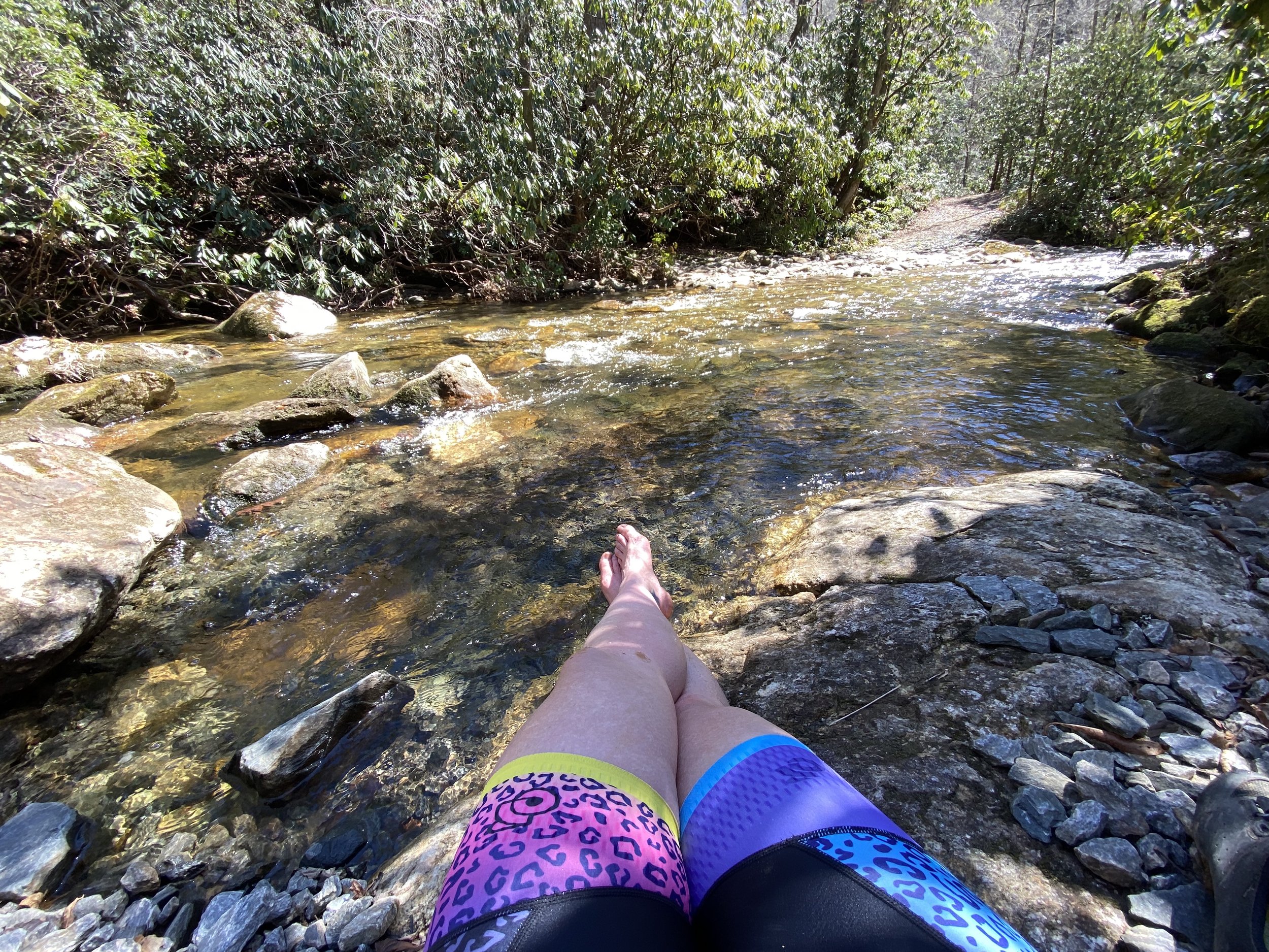
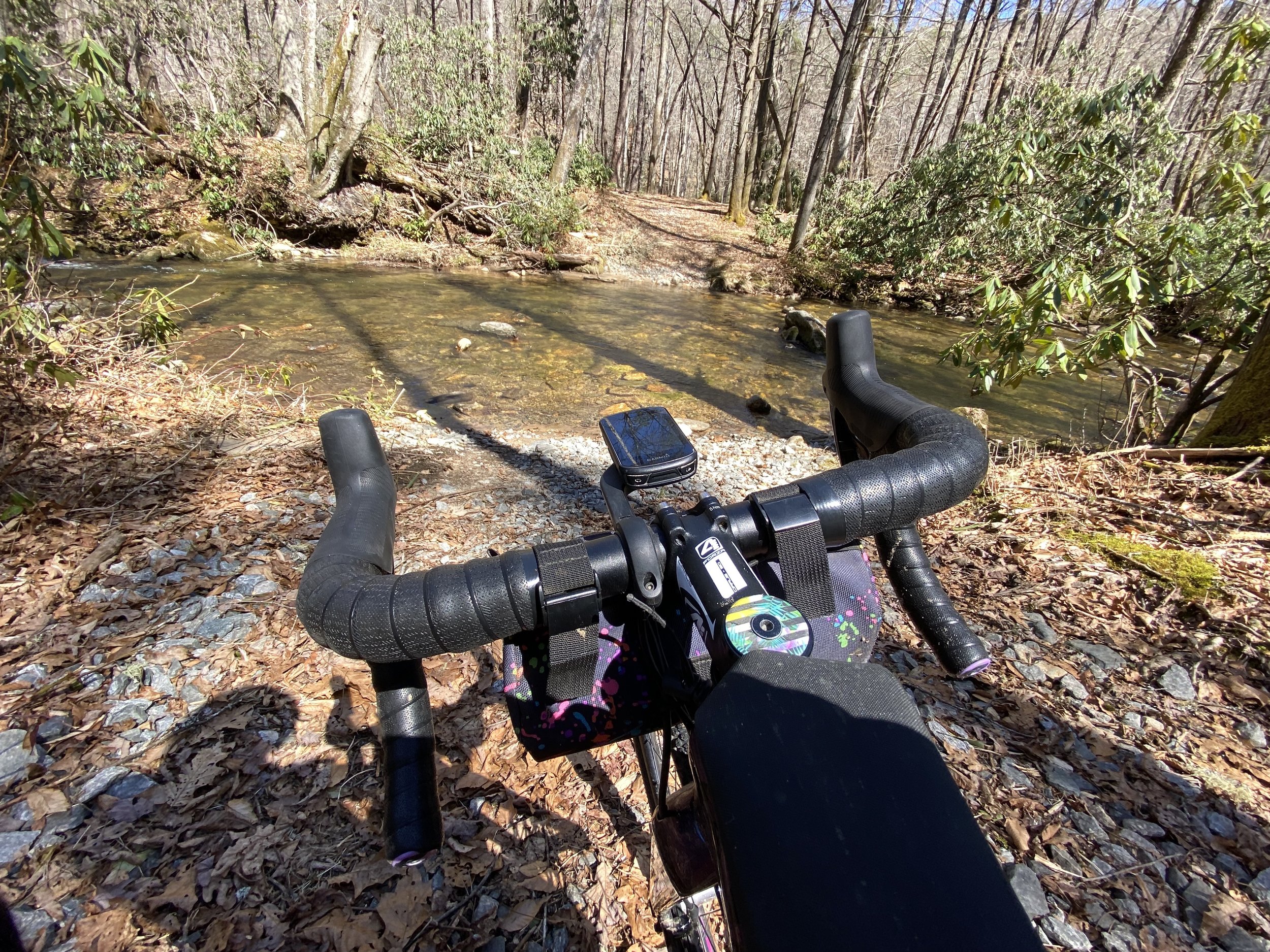
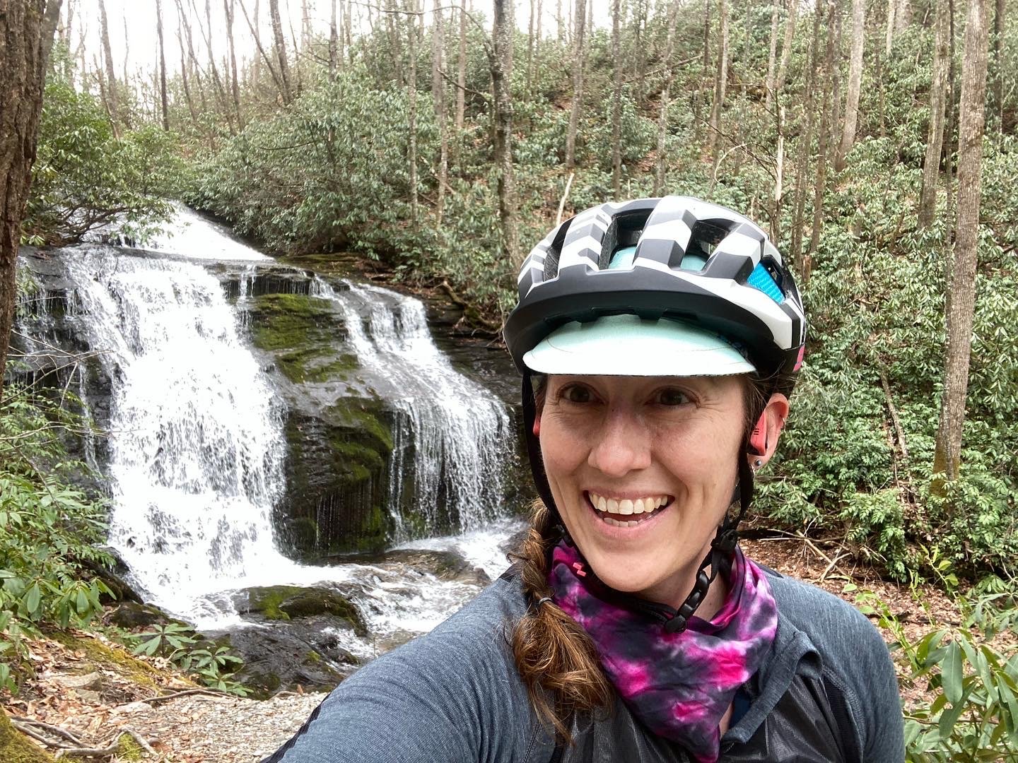
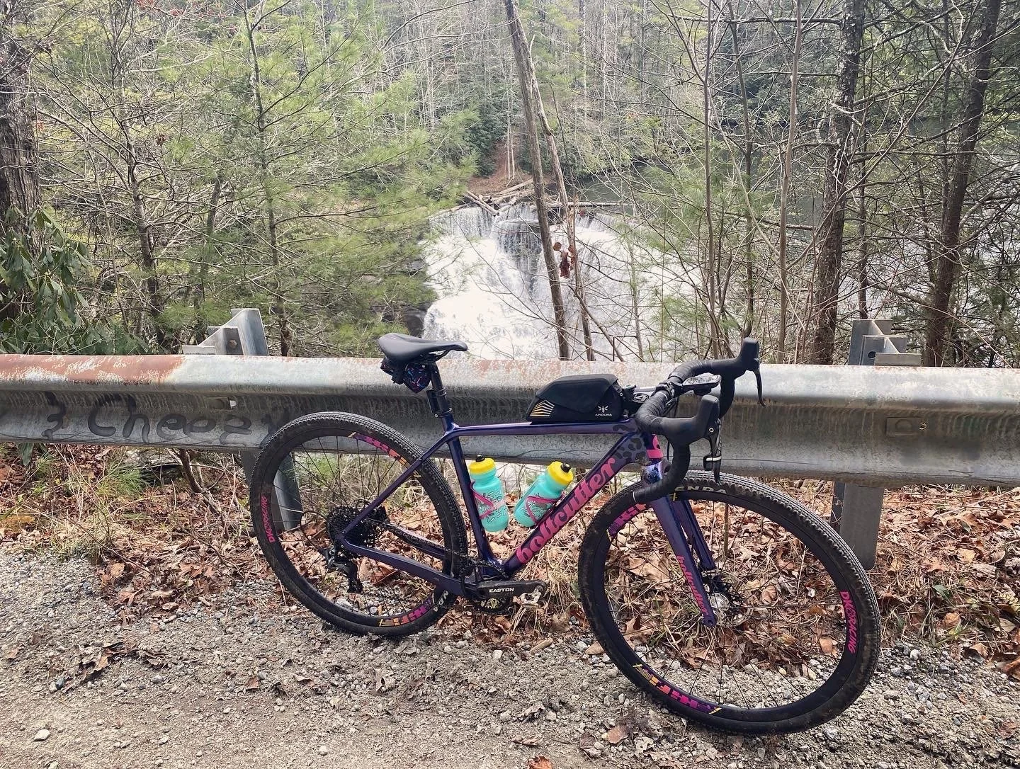
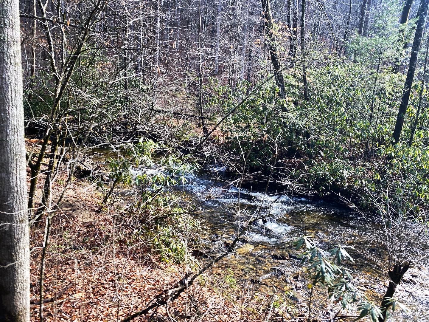
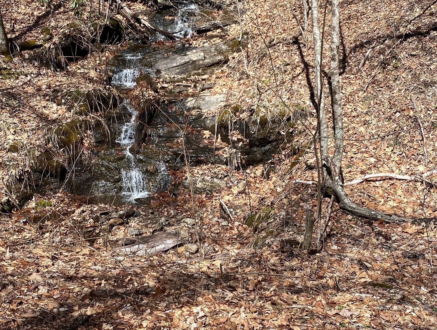
I reached out to an amazing local brewery, Sideways Farm and Brewery, for permission to park in their lot. I checked tire pressure, grabbed a jacket, loaded up with snacks and water, and headed out. It was 54* and sunny. Glorious. The route took me on a fairly busy road for just a short period and then had me turn left and head down toward the water. I was 3 miles in and the route ended at the river. I could see an old rail trail on the other side of the river but with no way to get to it. So I pulled up the route on my Garmin. It looked like I could go back out to the main road for a hot minute, take a left, and end up back on the route. Cool. Except, when I made the left turn back to the route there was a large sign indicating that it was private property and there was no trespassing. Specifically cyclists. Hmm. I flagged down the owner who was trying to get to an appointment and she informed me that this was definitely not open for cyclists. Never had been, never would be. Okay…So another look at the map indicates that if I just hop back on the main road and make a left at the light, I would be back on the route. Cool. Except when I made that next left, I was once again at the river. Hmm. I pulled up the route on Ride with GPS and noticed for the first time that the route was titled “Pisgah Paddler”. PADDLER. The route was intended to be a bike packing/kayak or canoe combination route. The blue lines indicated water travel. Whoops. I had a minute of panic but decided that I could just retrace my steps back to the car and ride the cycling part of the route in reverse. Then when I got to the water portion again, I would just turn around and go back to the car. Okay. Can do. The route took me on some beautiful, gently rolling quiet roads, a brief stint on a major highway, and then a sharp right straight up a steep hill and my first gravel of the day. This road was beautiful. Waterfalls and Rhododendron everywhere. At the top, I entered Pisgah Forest where there was a very nice trail kiosk. Stapled to the kiosk where handwritten signs that said “3 bridges out, fording the river not advised.” My local guide had indicated four water crossings and I honestly didn’t know where those bridges were or if they were even on my route so I figured why not? Take a chance! A beautiful, fast descent took me down to Bradley Creek where the gravel turned into two track and followed the river for a bit. It was gorgeous. My garmin was working perfectly. I came around a corner to find the first water crossing. Water crossings in Brevard are quite different from water crossings in Ohio…the water was fast moving, extremely cold, and about thigh deep. I took off my shoes and socks, shouldered my bike and made my way CAREFULLY across the river. Shoes and socks back on, quick snack, and off I went. Not even ten minutes later, another water crossing. Same deal. Shoes and socks off, shoulder the bike, fast, cold, knee deep water. Back on the bike and then a left turn onto a blue mountain bike trail. This was my favorite part!! Definitely not for the faint of heart, but my Boltcutter and I handled it and had a blast. Eventually I came to another water crossing. Not quite as deep, but the water was faster and the rocks were slippery and it still made me pretty anxious. On the other side, I sat on a beautiful boulder in the sun, ate my snack and enjoyed the peace of being the only human nearby. Shoes and socks back on, back on the bike, but now the trail had turned to deep gravel double track. One final creek crossing and I turned onto Bradley Creek road. At this point, I knew there was no way I wanted to turn around and do all of those creek crossings again. I felt lucky that I hadn’t fallen or lost anything the first time through. I decided as soon as I had service, I would ask google to find me a way home. I reached out to my emergency contact and warned them that they might need to pick me up. (*Side note, on all of these rides I was by myself in some pretty remote and lonely areas. I turned the Live Track feature on on my Garmin and sent the link to three different people so that someone would always know where I was. The link worked really well and they were able to track my progress even in areas without cell service. Highly recommend doing this if you find yourself riding in remote areas.) Once I reached Yellow Gap Road, I turned on Google and told her to take my back the car. A super fast pavement descent and about 15 miles of nice rolling country roads found me back at the car just in time for dinner.
Lessons learned: Read carefully, both maps AND signs that warn you not to ford the rivers. Adventure is fun. Embrace it but have a bail out plan.
Day 2: Reco with a View
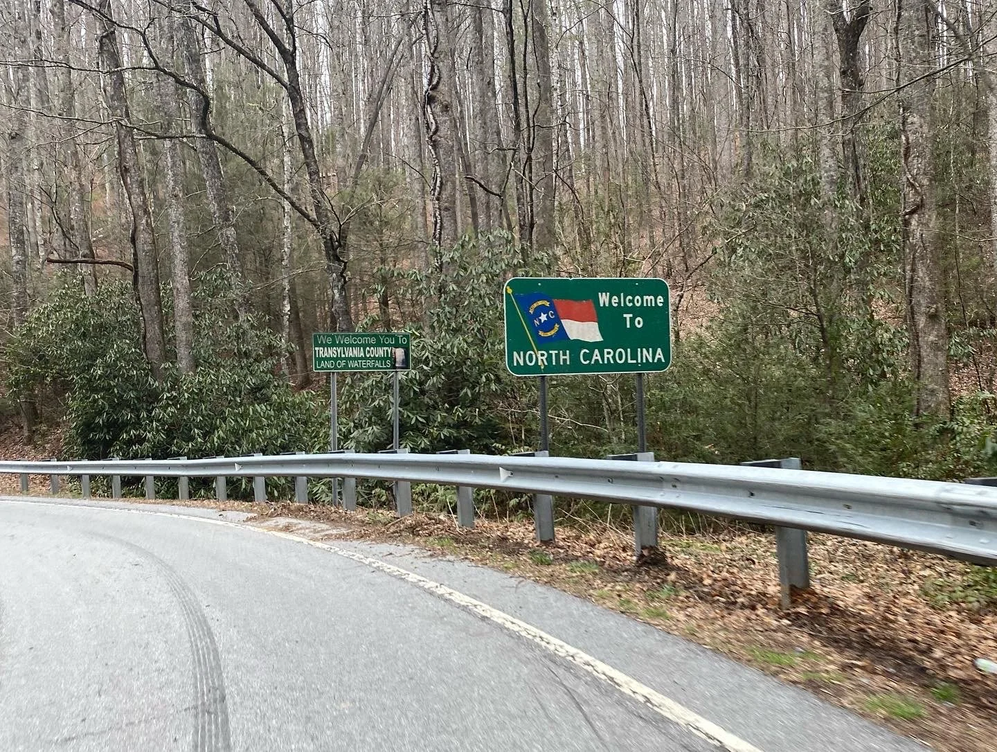
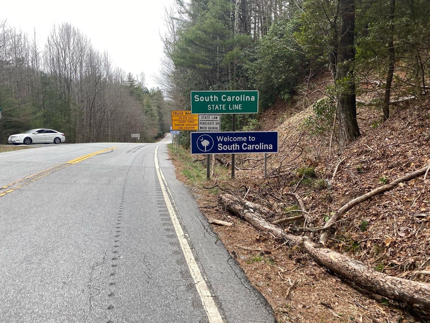
This goal for today was 2.5-3 hours and chill. My teammate helped me find another local who helped me put together a route that would take me right from my air bnb down to South Carolina to Caesars Head State Park and a beautiful scenic overlook. The day was overcast and chilly so it took some convincing to get back on my bike after the sunshine of the last ride. Getting out of Brevard proper wasn’t my favorite on this route. There were a couple unfriendly motorists and a couple roads that were busier than I would normally choose for myself. But about 9 miles in, I turned right onto Cascade Lake Road. This was a 7 mile gravel road climb with gorgeous waterfalls on all sides. The views were amazing. After Cascade Lake Road, it was climb climb climb up to the park. I stopped and looked at the trail head maps but never did find that promised scenic overlook. The route back into town had several coffee shops along the way and I wished I had some more time to stop and enjoy a coffee, but lasagna and apple pie were waiting for me back at the air bnb so I didn’t dawdle. I’d call this a dirty road ride as the Cascade Lake Road was the only gravel on the route. BUT it was totally worth it.
Day 3: Thankful for Sycamore Cycles
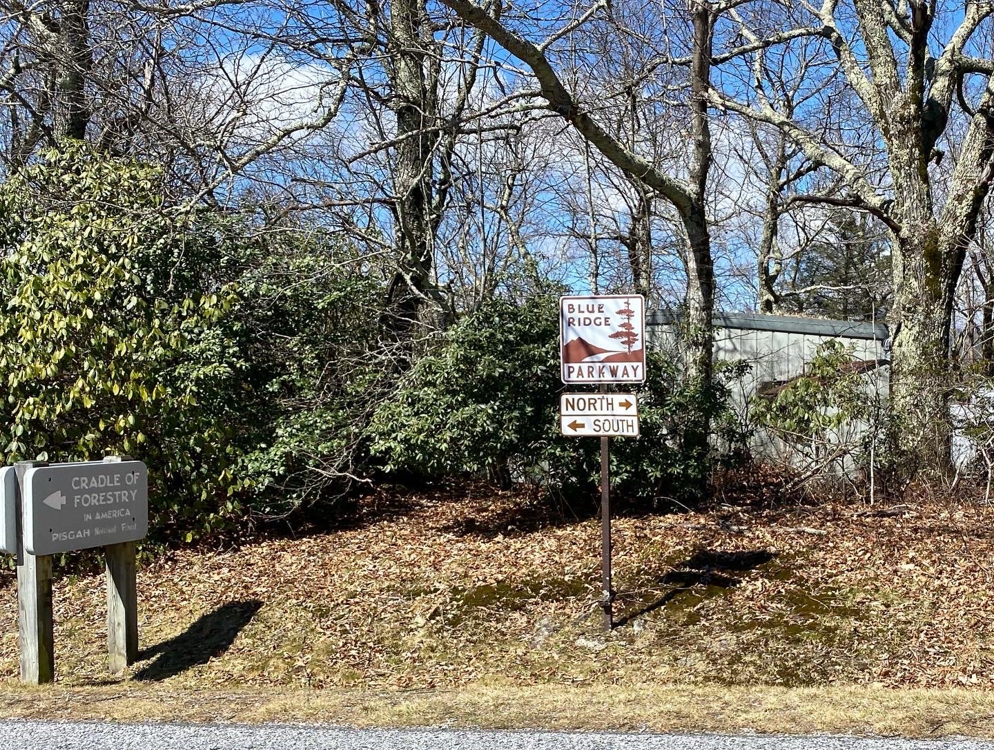
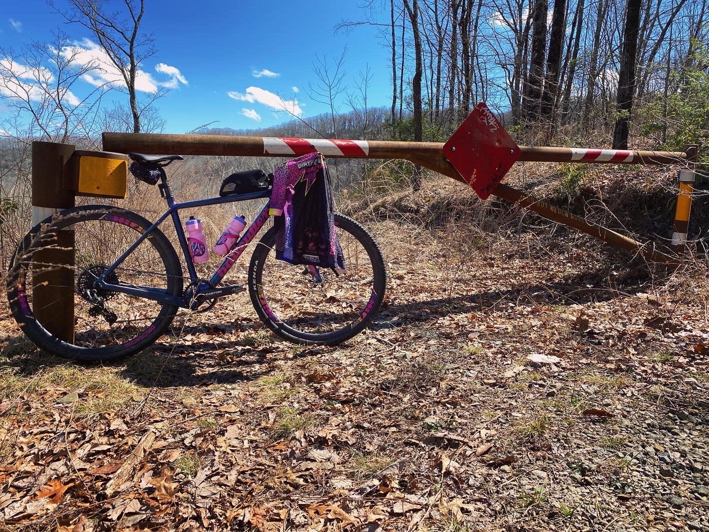
After day 1, I made it a point to visit a local shop, Sycamore Cycles. The employees were amazingly helpful. I asked for a route that was around 5-6 hours long and had some scenery. They had a large, laminated 4’x4’ map that they immediately pulled out and used a dry erase marker to draw me a giant route from memory that included the Blue Ridge Parkway which we believed would still be closed. If you’re in town, stop in and say hi. They were great! Once I got home and used Ride with GPS to map it, I realized that it was far too long and would need to be modified. Luckily, the shop had drawn bailouts for me all over the place and I was able to shorten it 62 miles.
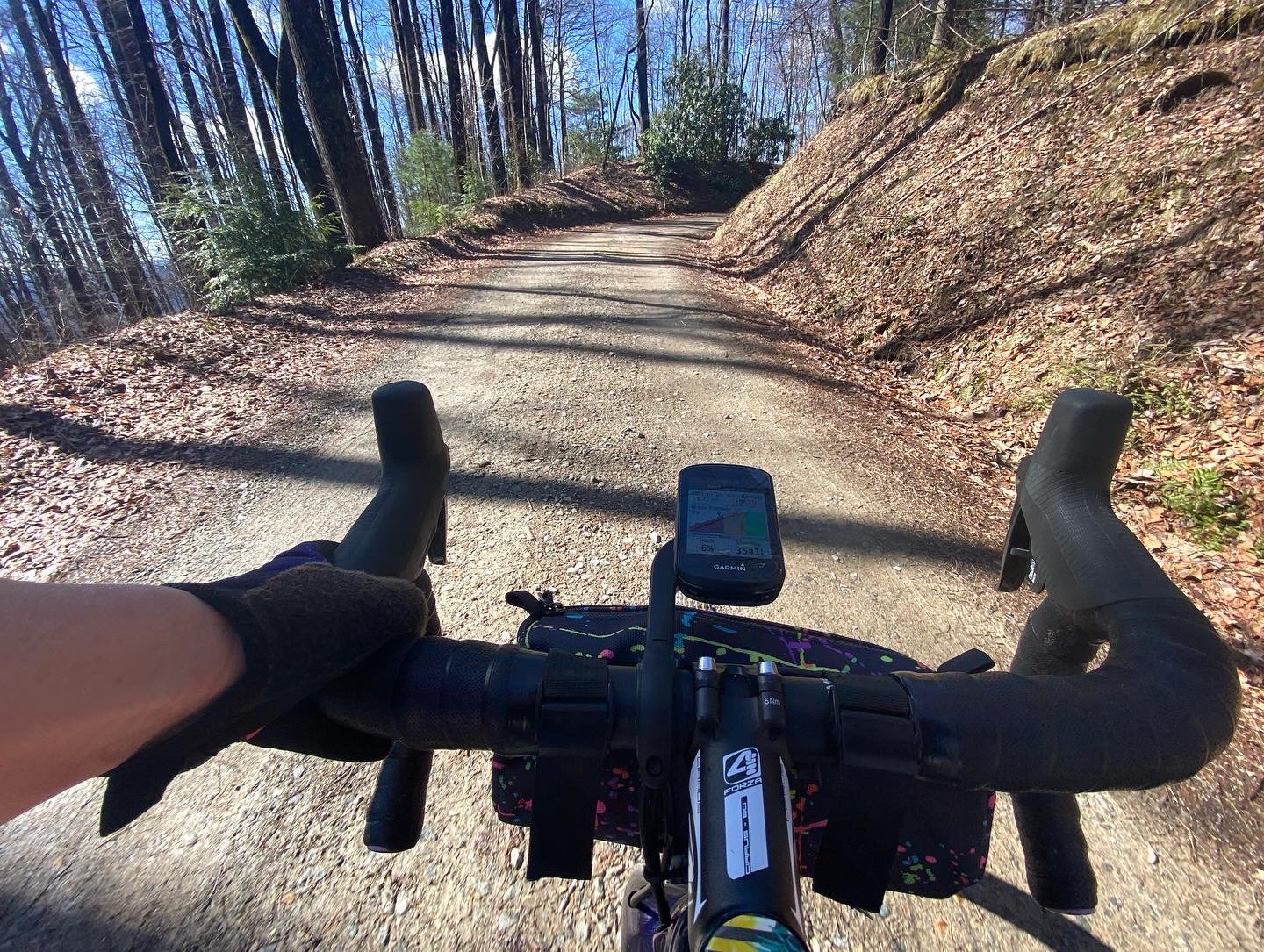
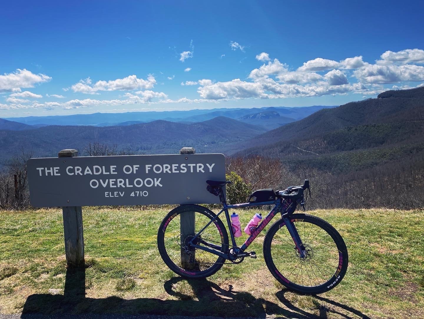
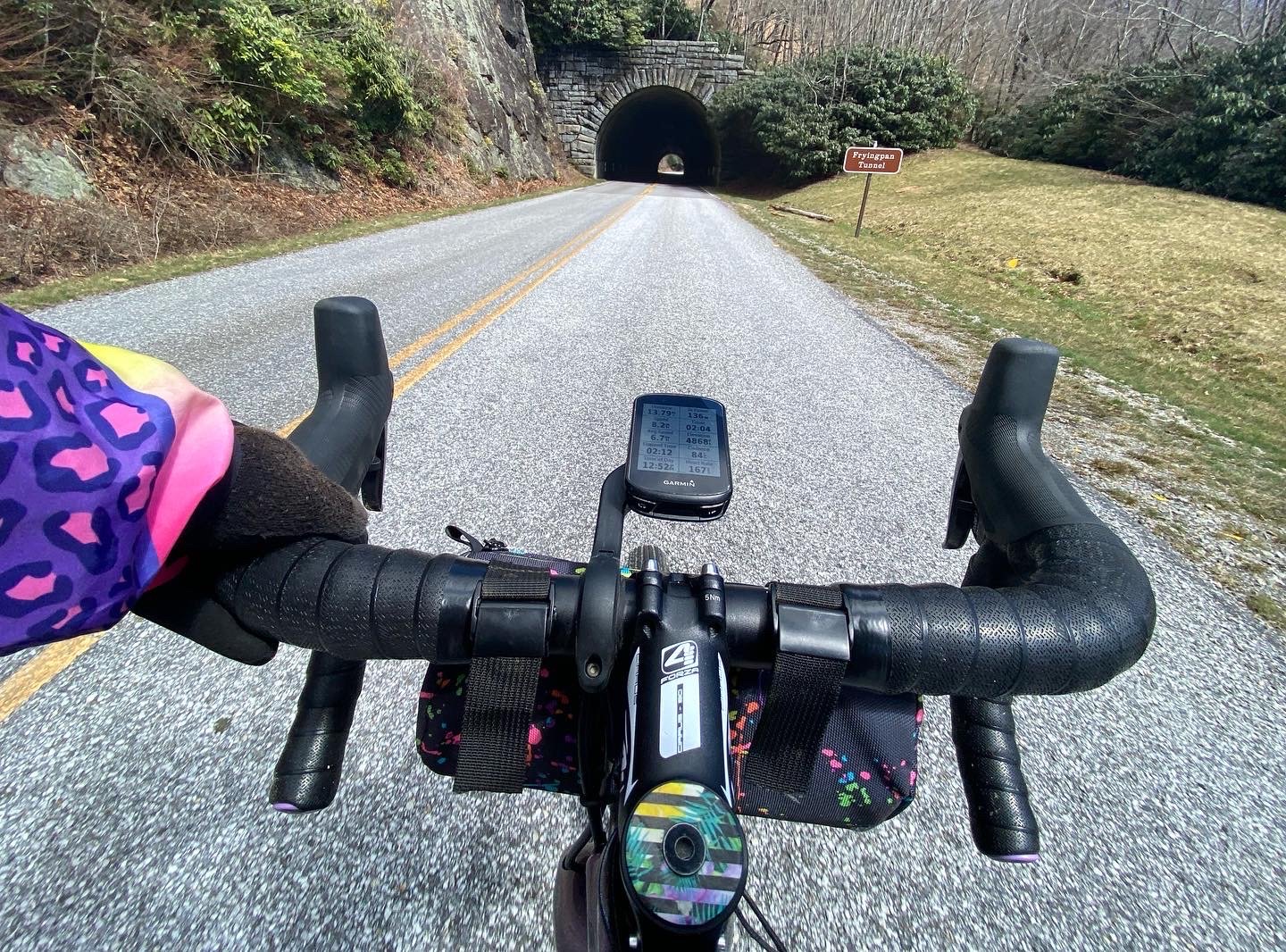
We parked at the Ranger Station on 276. Within a mile, I had turned right onto gravel and the start of a 14 mile climb. 14 miles of constant climbing. Avery Creek Road was beautiful. Lots of sun and tons and tons of rhododendron. It dumped me onto 276 for four more miles of climbing to reach the Blue Ridge Parkway. When we looked on Monday, it was supposed to be closed but apparently had been opened to traffic just the day before. It took me 2 hours and four minutes to get up there…I don’t think I’ve ever climbed that long! The views up at the top of the Parkway are gorgeous. The wind is…strong. Once I hit the peak, it was a 14 mile descent on the parkway through 4 tunnels. I turned right back onto the gravel after about 12 miles on the parkway. This is where my Garmin decided it no longer wished to go on this journey with me. It was constantly telling me to make a U-turn and flipping back and forth between screens which made it really hard to follow the route. Luckily there were no turns for 6 miles or so. Eventually the beeping started to drive me insane so I stopped and restarted the route. This seemed to fix it and I was back in business. Yellow Gap Road looked familiar to me (I saw it on day 1) and I decided to take a peek at the full route and assess the situation. At this point, I realized that I had only been able to average 8.5 mph (due in no small part to that first 14 mile climb) and if I couldn’t pick up the pace, I would have about 3 hours of riding left to get back to the car (including some more mountain bike trails which, while fun, aren’t conducive to going fast) but I most definitely did not have 3 hours of daylight left. Looking at the map, I had two options. I could take the possibly busy, larger road all the way back to the car or I could hop off the road back onto Avery Creek Road, the giant gravel climb at the start. I voted for gravel. That was a super fun, fast descent all the way back to the car. I ended with 50 miles, 5,800 feet of elevation, and some crisp tan lines for my effort on the day.
It was a fantastic week of gravel riding in Brevard NC and I can’t wait to go back. I have a small stockpile of routes that I just didn’t have time for and can’t wait to check out! Brevard is a great place to stroll down main street, drink a coffee or a beer, and get out and enjoy nature!