Recap: Rock Island and Katy Trail, Missouri
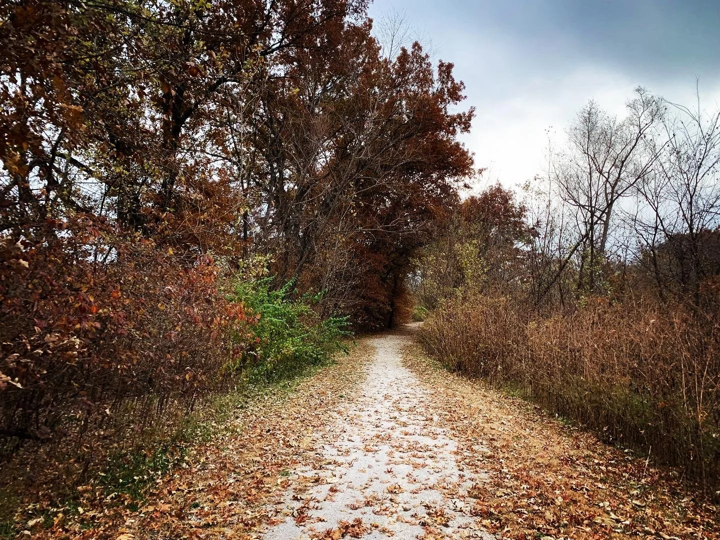
The Katy Trail, a 237 mile unpaved converted rail trail across much of Missouri, is flat and scenic. The Rock Island Spur from Pleasant Hill to Windsor, MO is a 47 mile addition with a similar unpaved surface. The perfect trail for what was going to be my first solo bikepacking trip. As it was my first and late fall (Oct 30-Nov 3) I planned to stay in a mix of cabins, BNBs and a hotel. Though I had previously done a 5 day camping trip I didn’t feel quite ready for a solo version. I planned to start in Pleasant Hill on the Rock Island Spur connecting to the Katy Trail in Windsor. In the end Allison, from my Bentonville escapade, was able to join me on the trek. What an unexpected bonus.
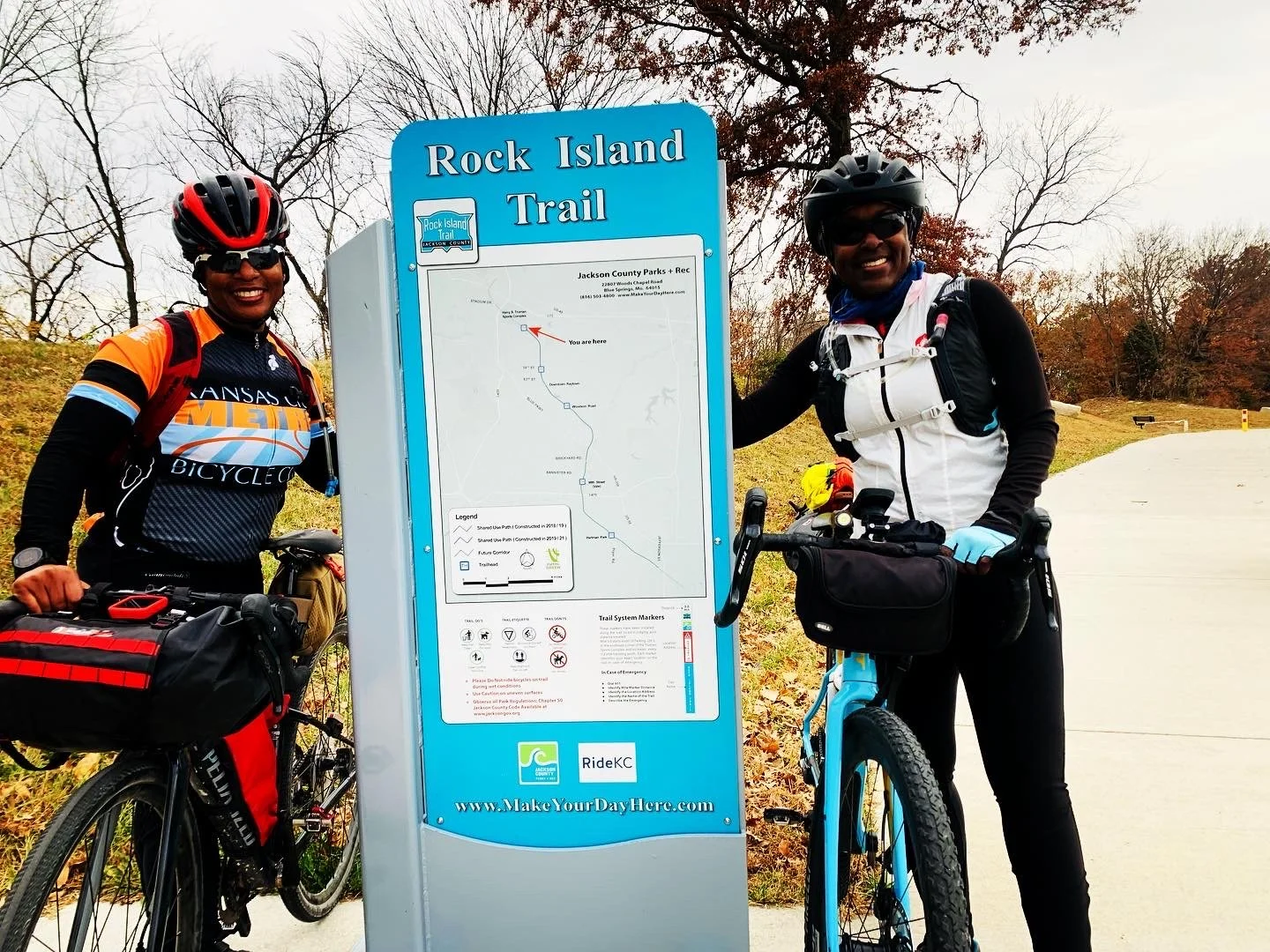
With Allison joining I canceled my car shuttle reservation with the Bike Cafe in St. Charles and my train ticket from Kirkwood station near St. Louis. We were able to leave one of our vehicles at the boatyard parking in St. Charles and then drive together to Kansas City where we stayed with friends. With this change we could now cycle to the Stadium Trailhead of the Rock Island Trail (from our friends house) and do the entire Rock Island trail including the 12 mile trail gap between Lees Summit and Pleasant Hill. As I did not return home from my time in Arkansas I did not have my camping gear so kept with the indoor lodging. I think this bit of bribery was a deciding factor for Allison.
Enjoyed having Mitchell and Denesha from Major Taylor Kansas City lead us out from his home to the Stadium Trailhead. About 7 miles on paved trail and roads and a wee bit of climbing.
Day 1: Kansas City to Windsor, MO via the Rock Island Trail (83 miles; 2024 feet)
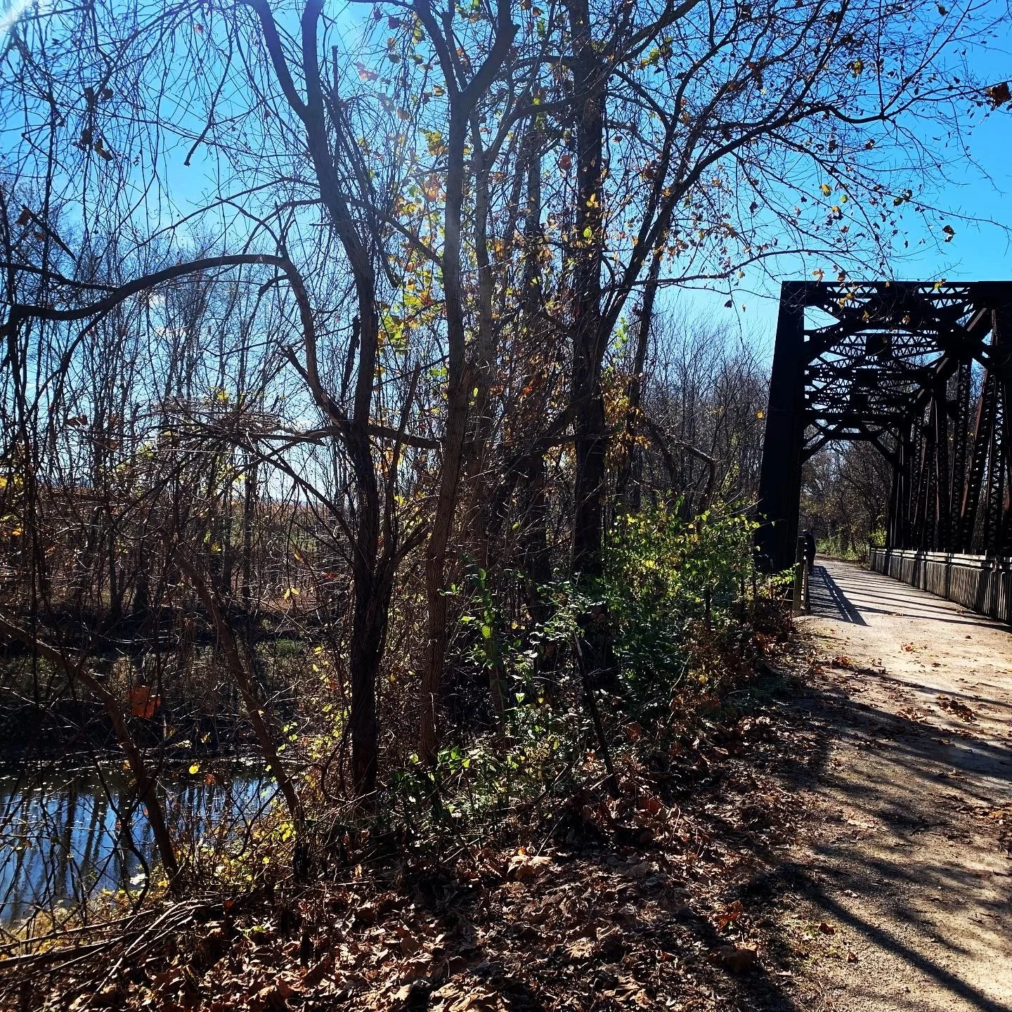
We started in Kansas City at a friends house and rode to the KC Chiefs stadium/trailhead for the Rock Island Trail. It was wonderful to have a few from Major Taylor Kansas City guide us from the city to the stadium trailhead. We were later surprised by a few more joining us as we rode toward Lees Summit. It was a great day to ride with new and old friends. Cool morning temps rose to the mid 60s. Rain was in the forecast for later in the day; skies were clear for now. This portion of the trail is mostly flat with a fine crushed limestone surface. There were a few paved trail miles leading from the Stadium before switching to gravel.
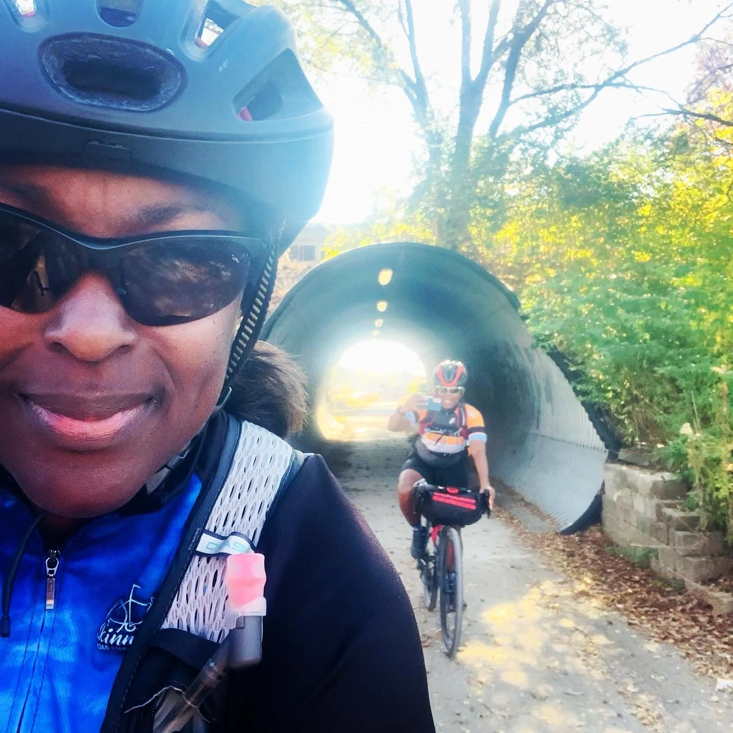
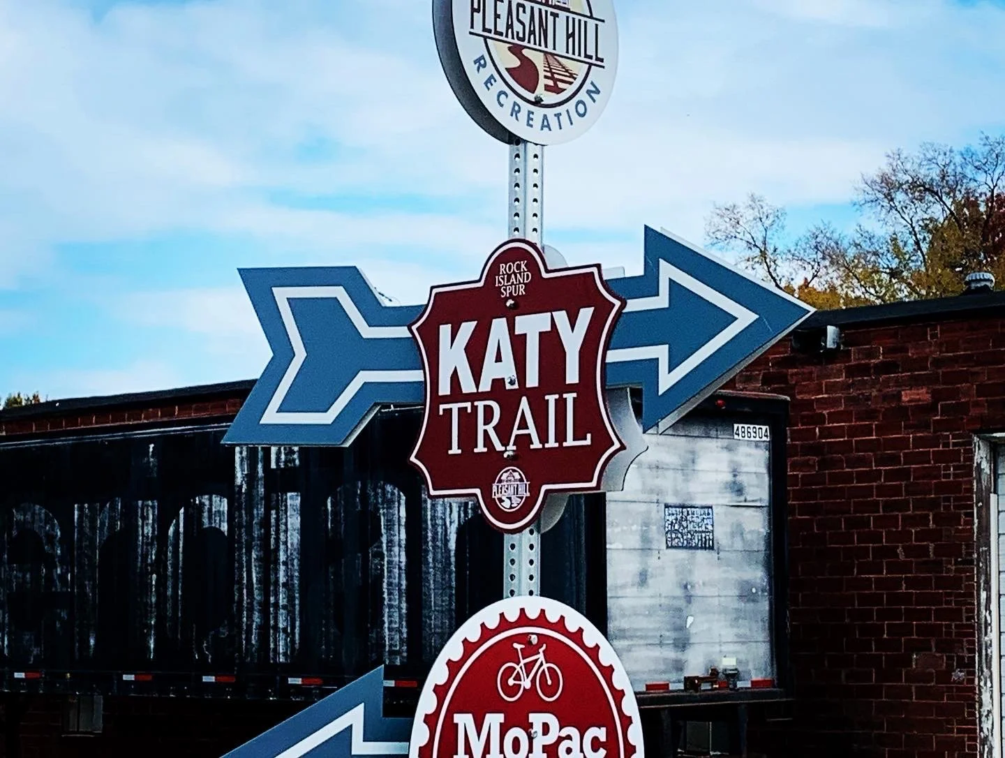
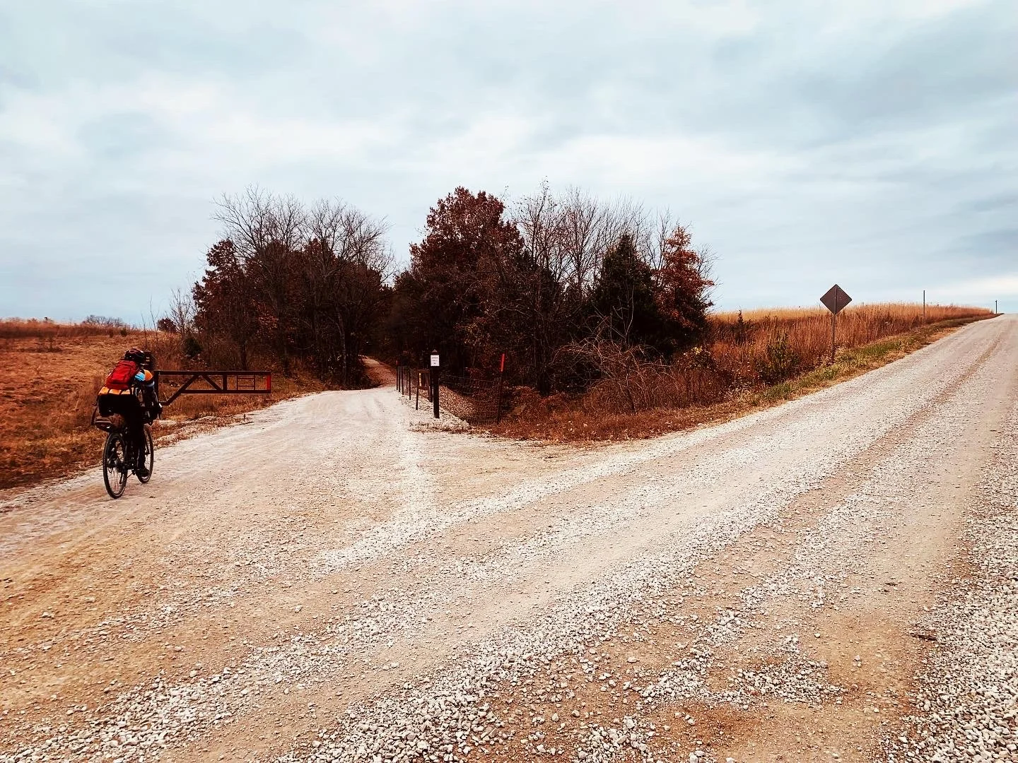
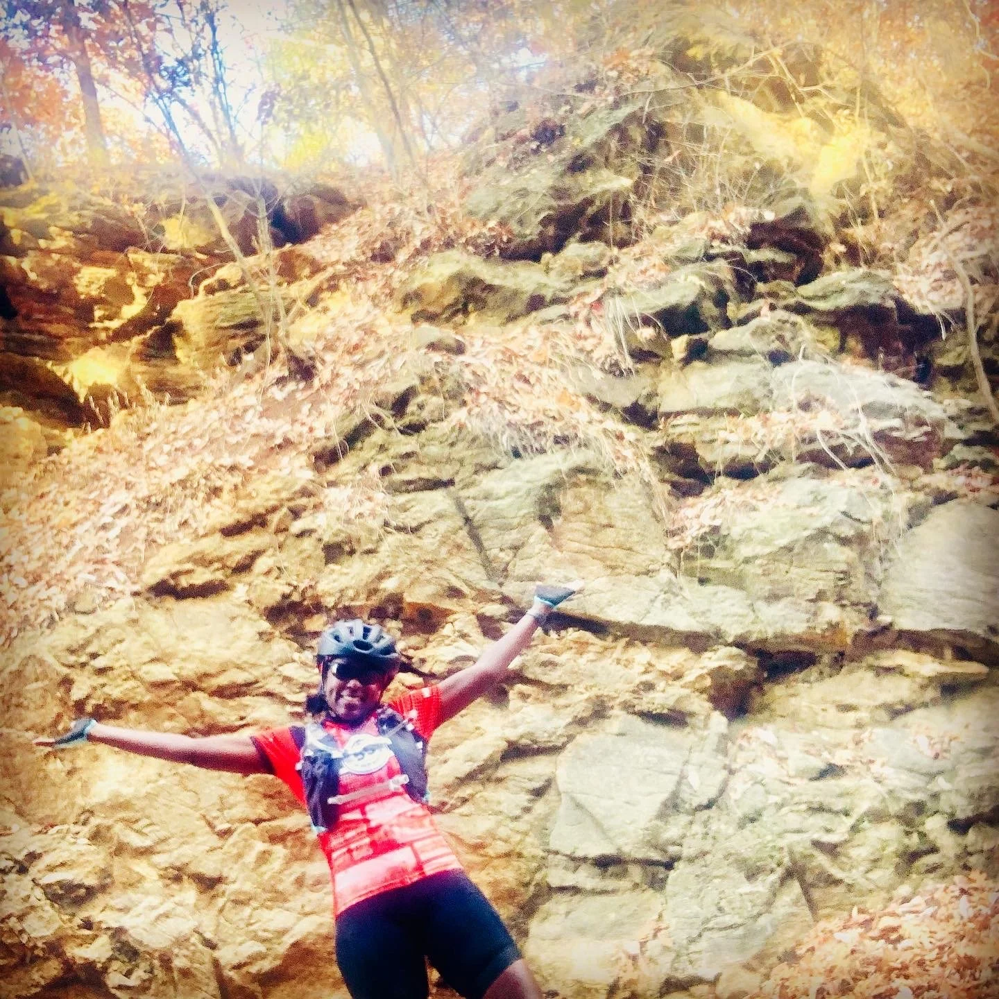
The Rock Island Trail has a 12 mile gap between Lee’s Summit and Pleasant Hill. We said goodbye to the Major Taylor KC crew after the first mile of the gap road segment. We proceeded on a hilly paved road for a few miles before we were pleasantly surprised to encounter gravel roads. The gravel roads were a mix of smooth dirt/gravel and small sections with chunky gravel. We later turned off the roads onto the MoPAC trail which was a little rougher than the Rock Island. We enjoyed riding through mostly forest for about 2.5 miles. We were also happy to encounter an exceptionally clean port a potty at a trail parking lot of the MoPAC trail. The trail took us into Pleasant Hill where we picked up the final 47 miles of the Rock Island Spur. We planned to eat lunch at Big Creek Cafe right on the trail; however it was packed on the Sunday afternoon. We rode less than a mile to the main road to eat at Guidos Italian. Good food. It was a little hilly to get there and back; but, happy to have food to carry us the rest of the 47 miles. We had been warned about the lack of services between Pleasant Hill and Windsor on a Sunday late in the year. The mix of forest and farm views was enjoyable for the next 22 miles.
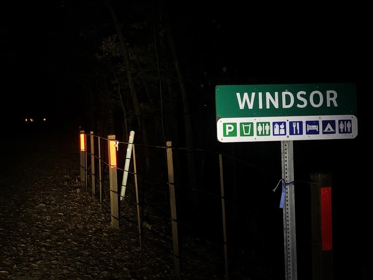
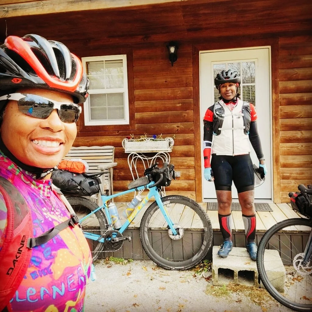
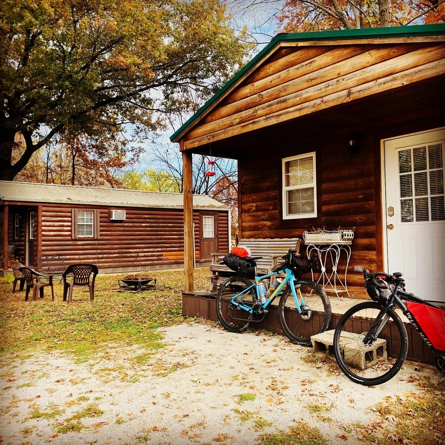
Twenty-five miles from Windsor we encountered rain and a wet trail. And thus began a 25 mile slog through the “peanut butter” like surfaced trail. The night before Halloween on a dark path in Missouri was not the plan and we were thankful to arrive safely. We stayed in Kim’s Cabins (awesome) and ate dinner at a Mexican Restaurant (about half a mile from the cabins). We were greeted by another cyclist upon arrival to the cabin who was happy and impressed to see two women arriving from the Katy in the dark. She offered us beers and joined us for dinner. Great ending to a very long day.


Day 2: Windsor to Boonville (59 miles; 1122 feet)
The problem with bike packing and staying indoors is who wants to leave a warm bed vs a cold tent with morning dew? So yes we had a late start. But it also gave the trail time to dry a little more after the rain the previous night. The remaining route was on the Katy Trail. Katy, short for the Missouri-Kansas-Texas Railroad, is well marked. We had no issues as even the rare detour was clearly marked.
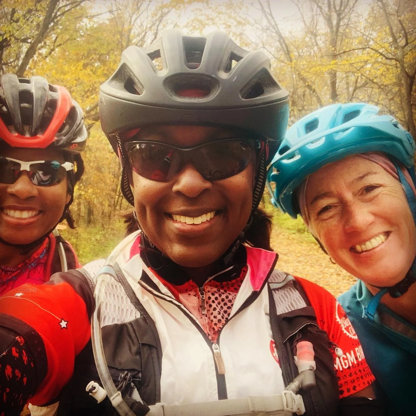
Morning temps were in the lower 50s and skies were clear. We enjoyed breakfast at a local diner. Our neighbors returned from walking the trail and reported it was still wet, but a little better. Nice couple. She was riding the trail and he was driving; teamwork and compromise. We finally got on the bikes a little after …11am. Trail was still a soft dirt consistency with ruts from yesterdays riders. Soon after departing we stopped to chat with Michelle from the previous night as she returned from her ride. Later we encountered our cabin neighbors and rode with Sharon, the wife, for a few miles. She was able to share with us a few tidbits about the trail and stops to make that she learned from previous rides. By Sedalia the trail had mostly dried up. Snacks and lunch today were both from convenient stores. I was just happy to have an excuse to enjoy fritos.
Coming into Pilot Grove there was a gradual climb and we were told a descent into Boonville. We didn’t feel the descent; but definitely noticed the climb. Leaving Pilot Grove we had 12 miles to Boonville and the race to beat the night was on. Thankfully we made it before dark. We stayed at the historic Hotel Frederick in Boonville. Conversation at dinner, “Let’s leave much earlier”.

Day 3: Boonville to Jefferson City (54 miles; 472 feet)
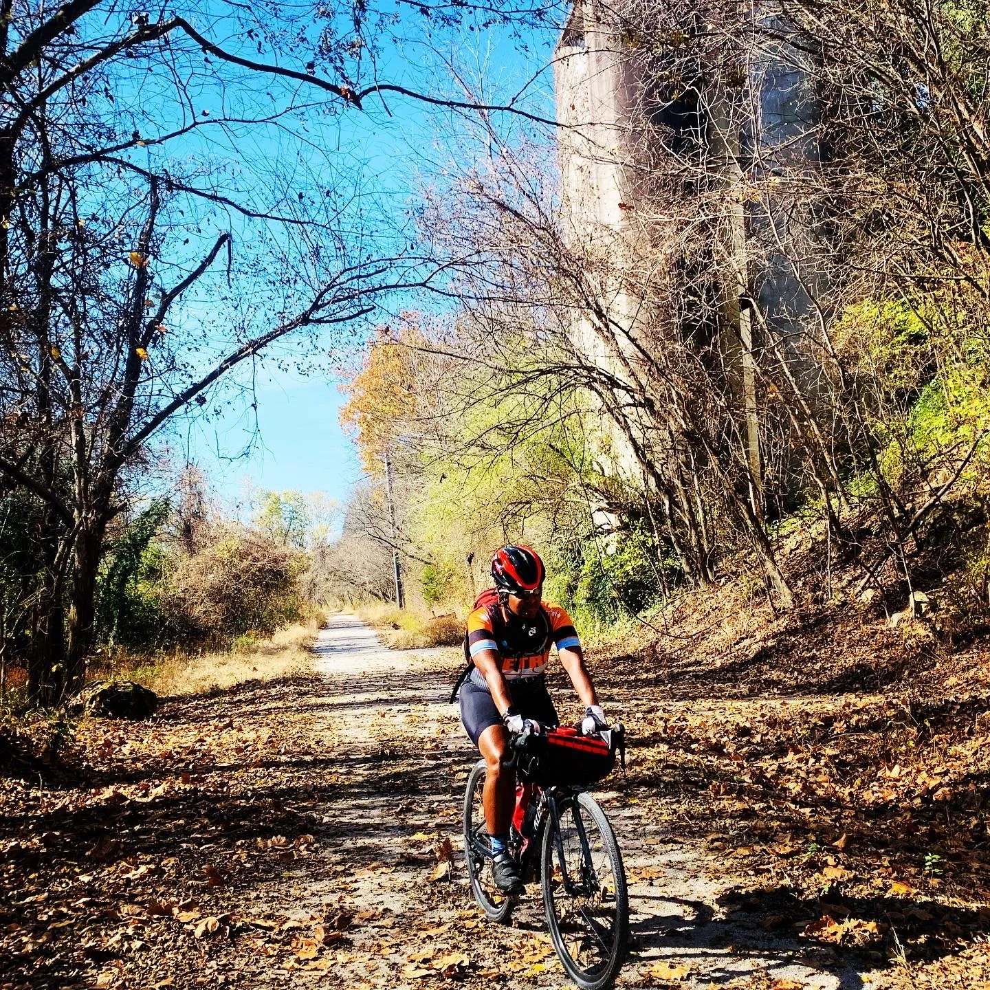
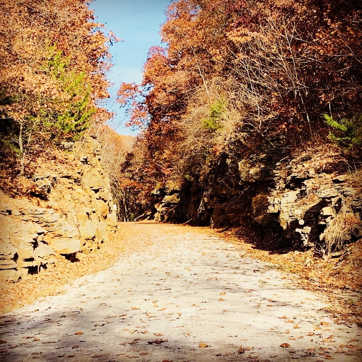
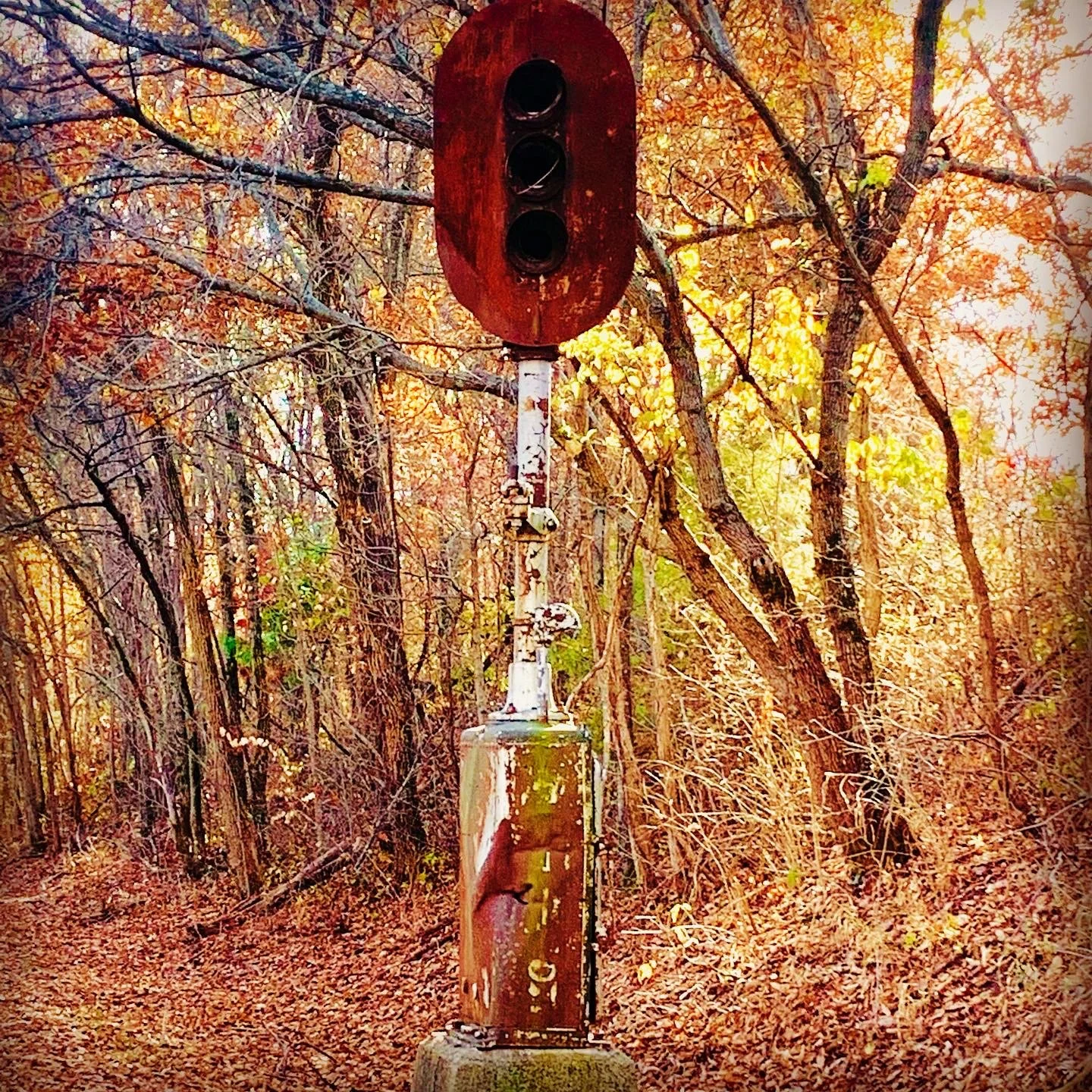
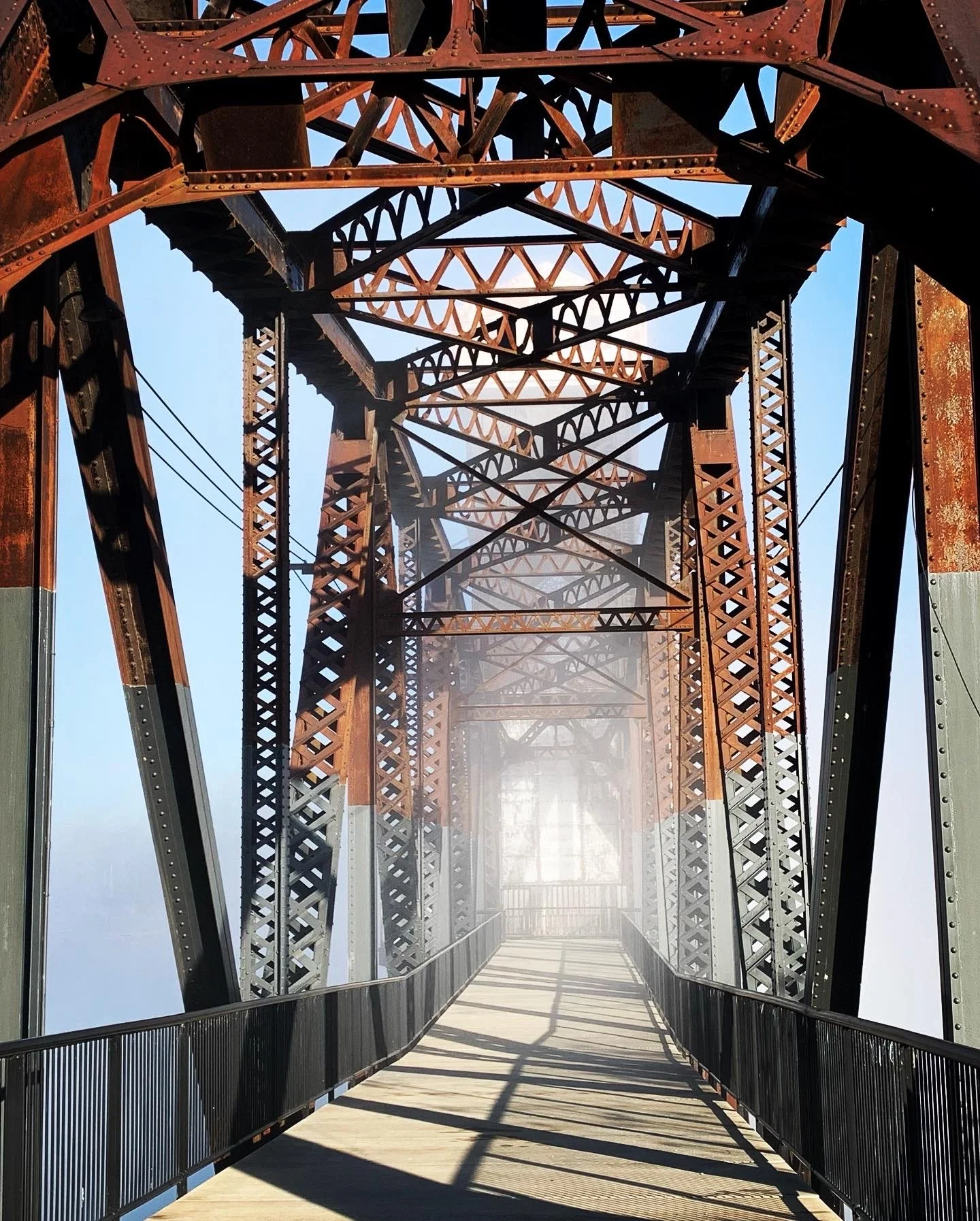
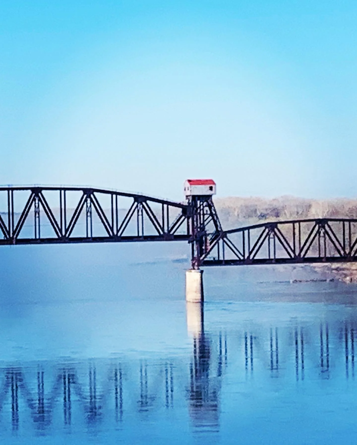
There were 2 days I wished, with Allison joining, that we had camped. The first day to break up the 83 miles (there was just no good place for indoor lodging) and today vs staying in Jefferson City. The cool early morning gave way to a hot day for our journey into Jefferson City. We started the day seeing a bit of Boonville and the “Bridge to no where”. It’s a drawbridge that is forever in the up position. The morning was foggy which made for an interesting view from the bridge. Just prior to Rocheport we passed through a stone tunnel and one of our first Lewis and Clark historic markers. They had made camp nearby.
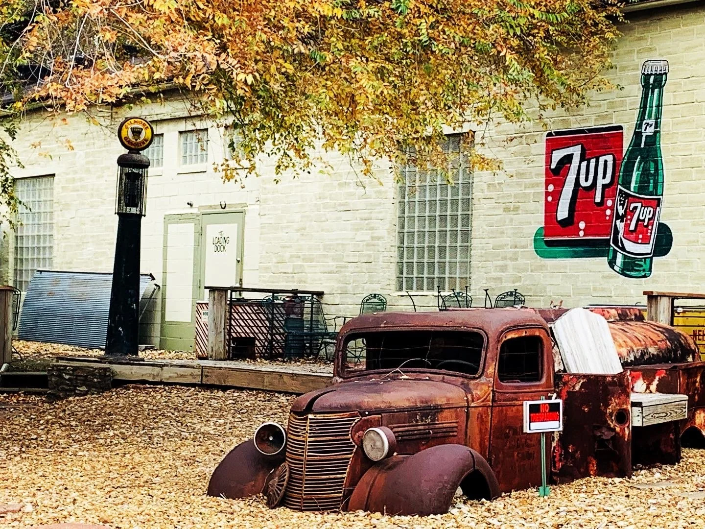
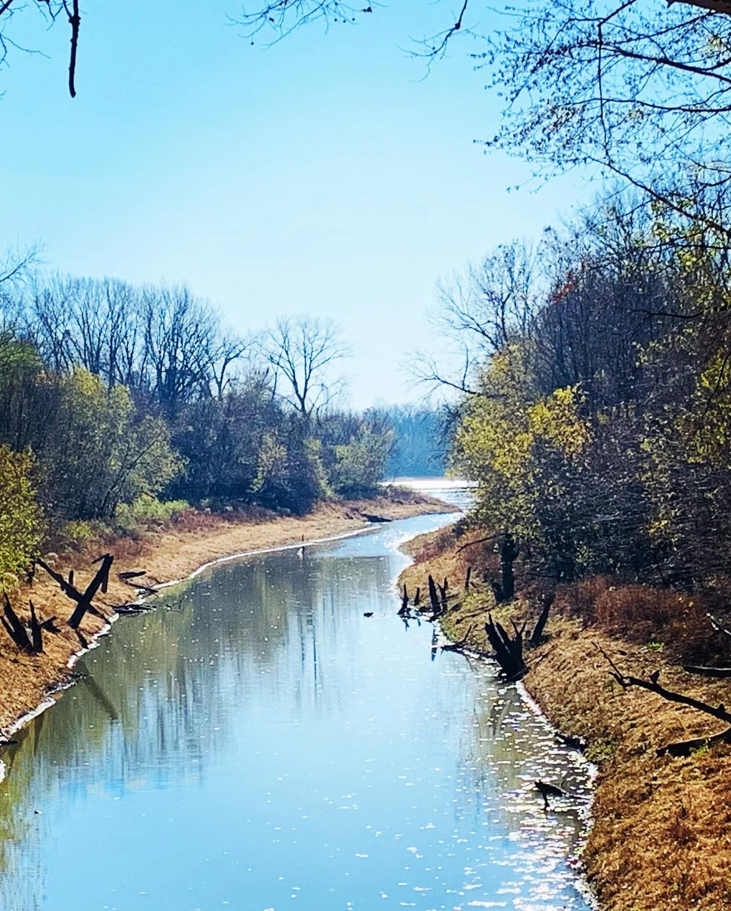
Our next stop was the infamous Meriwether Cafe and Bike Shop (note not a full service bike shop). Our late breakfast was worth the 14 mile ride to Rocheport on empty stomachs. This is a definite stop for food not to be missed. Delicious! Rocheport was a cute town and we finally saw numerous cyclists as we rode into town, at the cafe and all the way to JC. This is definitely one of the most scenic sections of the trail. From Rocheport much of the trail is along the Missouri River.
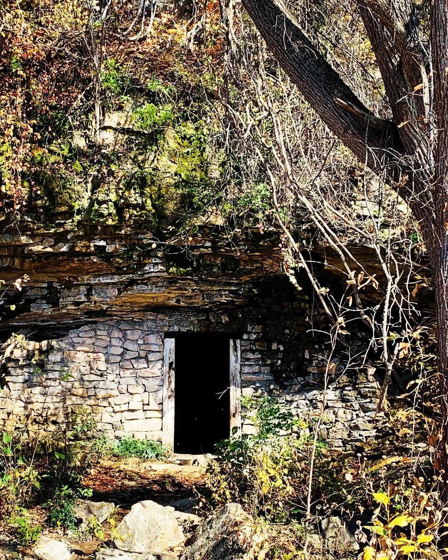
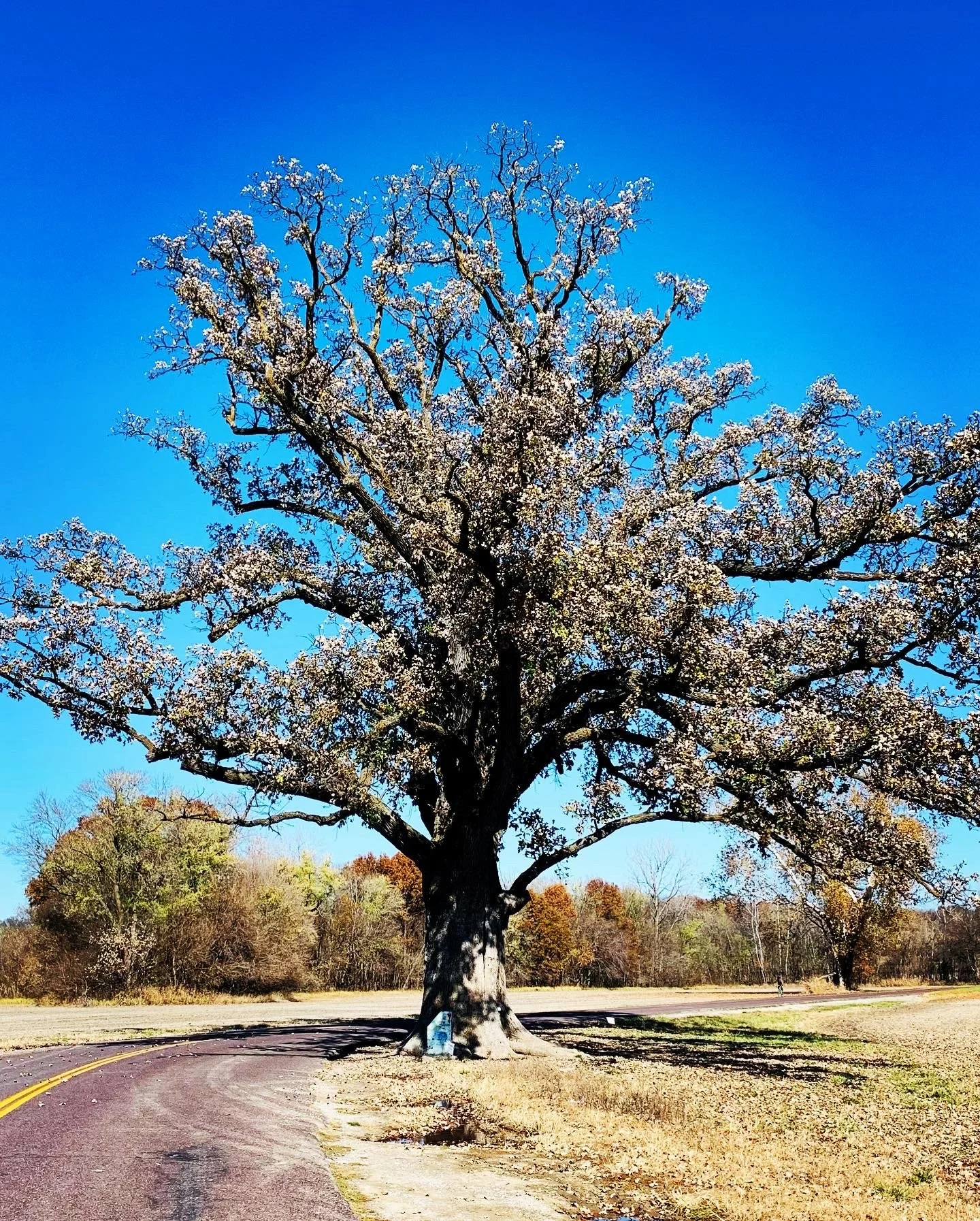
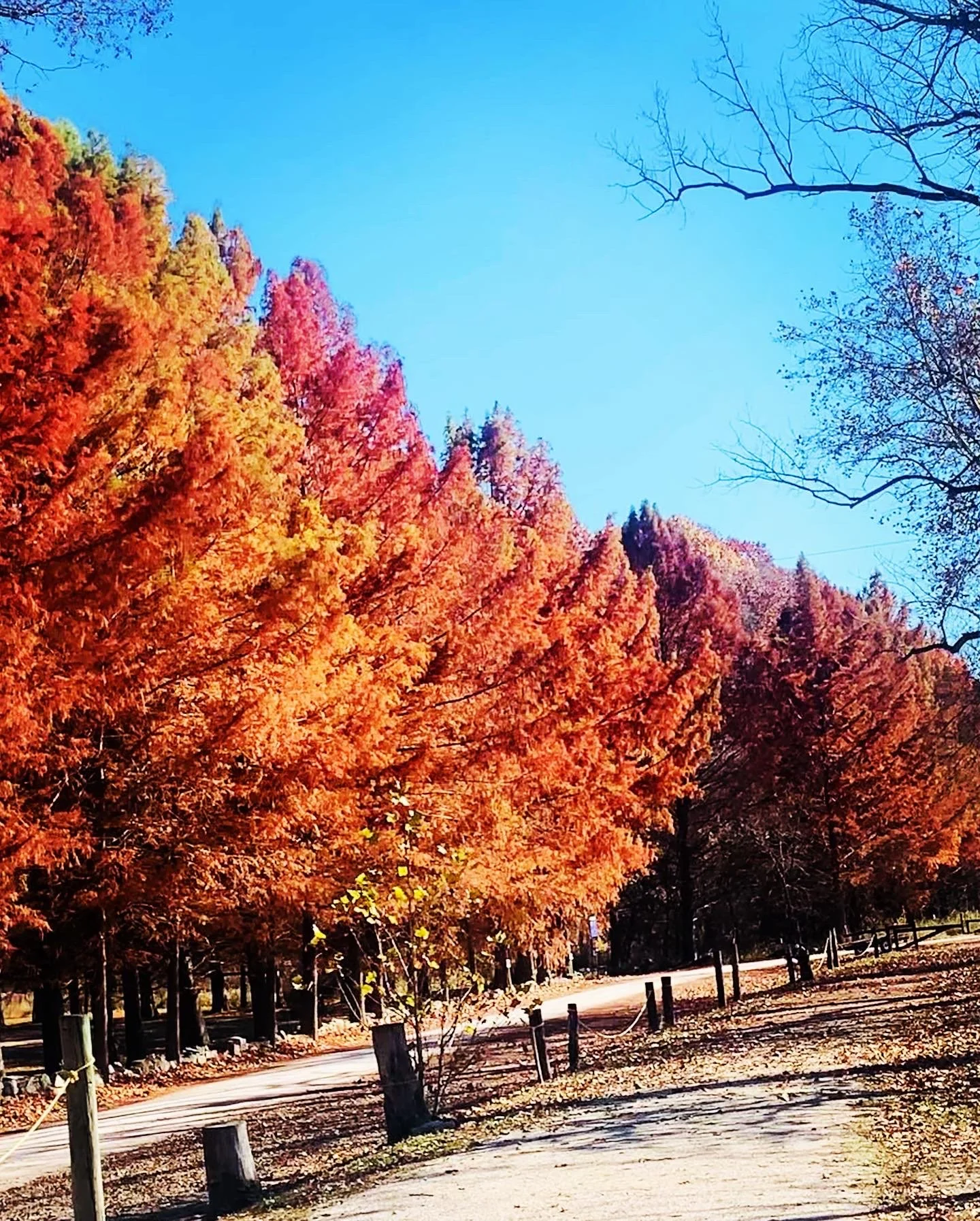
This portion of the trail is also next to large bluffs. There are several Lewis and Clark sites as well as an old munitions storage area a few miles from town. After the stone munitions storage we encountered construction with a soon to be closed portion of the trail. We were able to utilize a container “tunnel” to ride through for protection. We also stopped to see the Big Burr Oak Tree just off the trail about 8 miles from Rochport. The Old Burr Tree is almost 400 year old and tied for the largest oak in the country. Next stop was Coopers Landing. I wasn’t sure they were open so didn’t plan to stop; but indeed they were and still serving food. They close mid November. If you camp this may be a good spot to stay (though I am sure its very crowded in the summer). It’s on the river with live music most nights in the summer; food and beer (and they even had cider). The fall colors along the river near the camp site were beautiful.
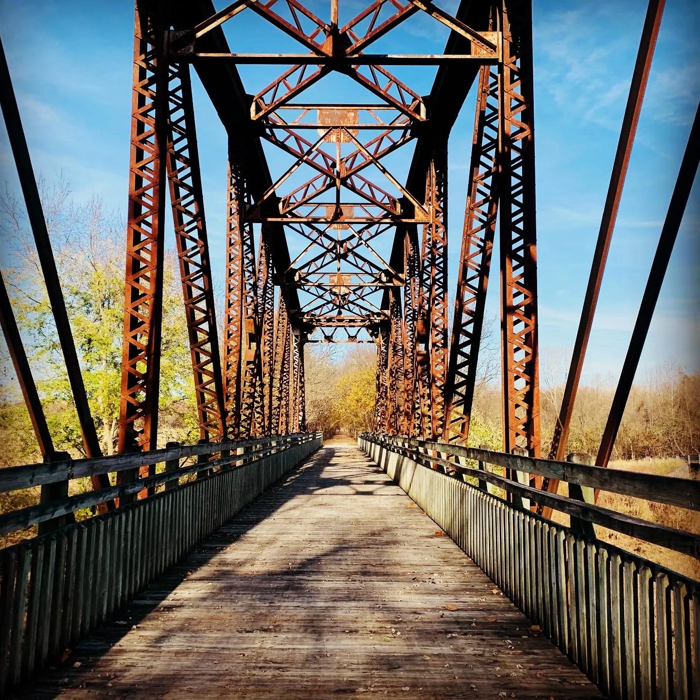
We traveled several more miles with the river view to Hartsburg where we enjoyed a cookie break (purchased earlier at the cafe). Then we road 10 miles to the North Jefferson Trailhead. The spur to Jefferson City was almost parallel to the Katy across from the trailhead lot. We had a little over a mile of unpaved trail and less than a mile road section before reaching the pedestrian bridge across the river. We freaked a little when we saw the access/climb to get on the bridge but the square switchback ramps were a breeze. We enjoyed the city view from the bridge as we crossed into the city. Going into Jefferson City to the Courtyard Hotel added 3 miles to the day.


Day 4 Jefferson City to Marthasville, MO (69.7 miles; 564 feet)
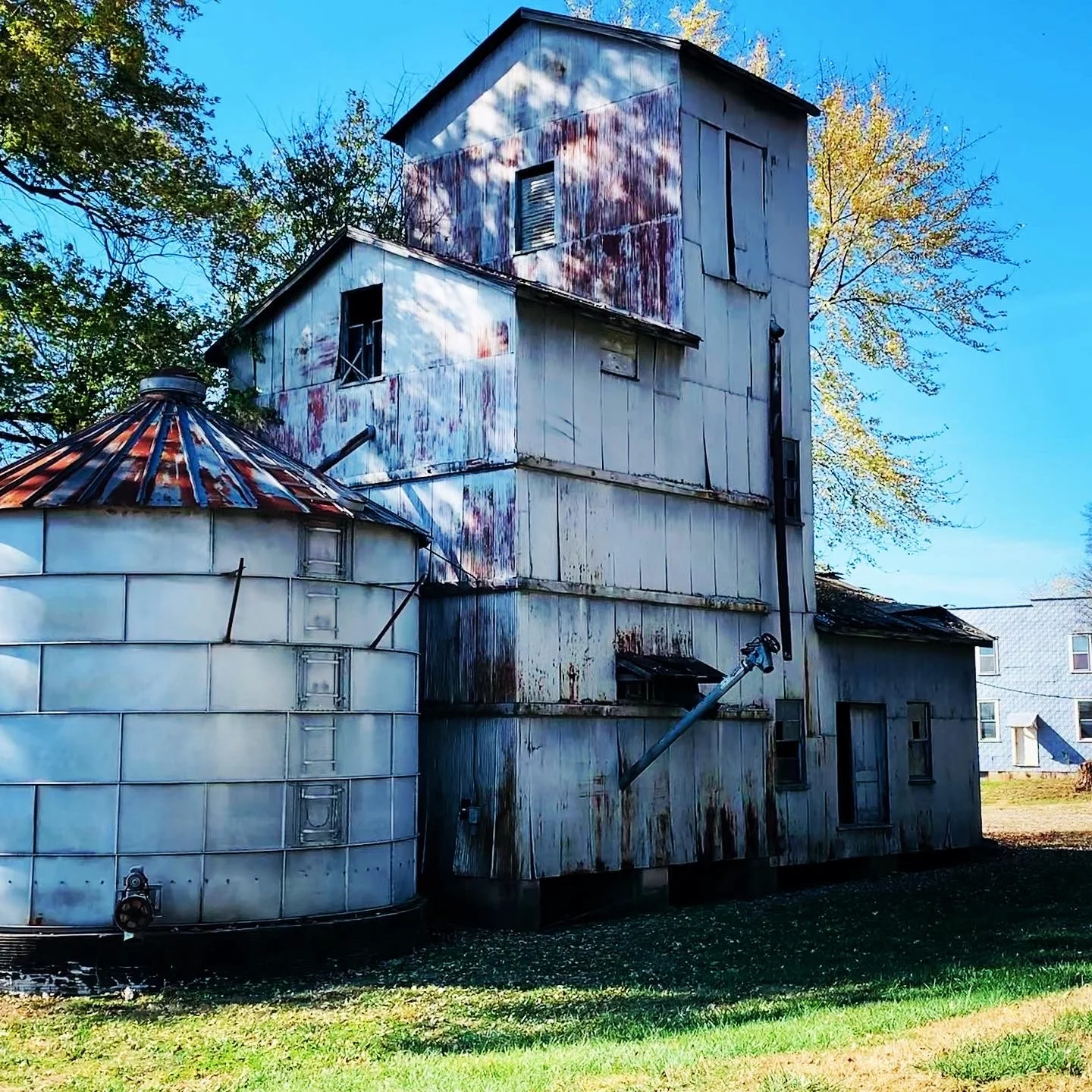
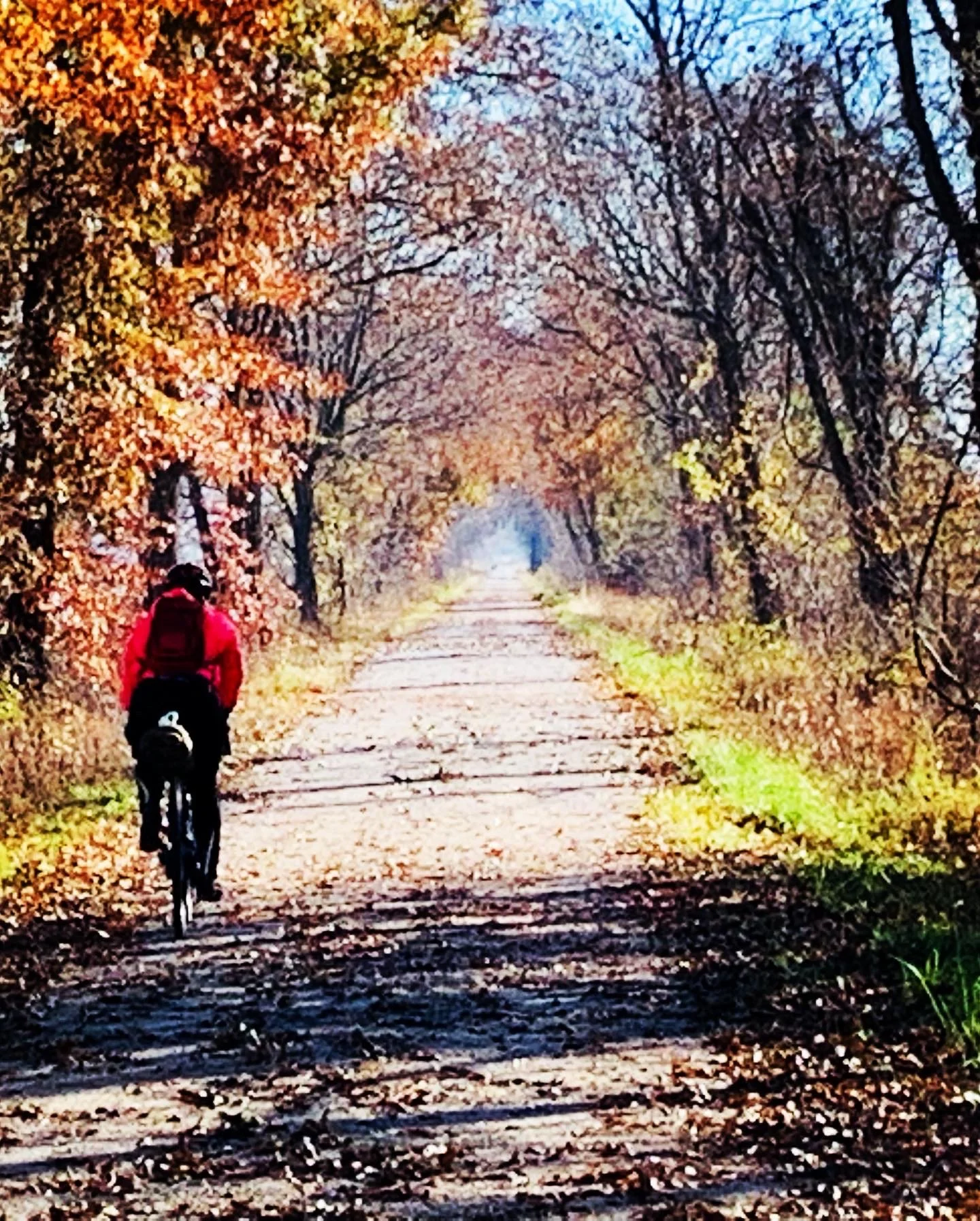
Day 4 was another long day on the trail. The first 45 miles went by quickly as there wasn’t much to see on this section of the trail. In Portland, at our mile 27.5 for the day, Holzhauser Bar and Grill was open where we purchased water and chips. At mile 42.5 near McKittrick there is trail access to a market about a mile from the trail. The market is on a highway with a very wide shoulder. We had lunch at the market with deli sandwiches, chicken, salad and fruit. This is also the way to the German influenced town of Hermann known for its wineries, about 3 miles off trail. Several folk commented Hermann was a great place to visit and stay. Much of the morning, the trail was along a low traffic road but later the trail returned to the Missouri River becoming more interesting. There were some rough patches of trail today but overall good conditions.
We enjoyed reading the placards at the “depots” with the town and railway history as well as several Lewis and Clark historic sites/markers. Overall a lovely day on the Katy. Not many folk on the trail today though we did encounter a few horses and their riders. We stayed at a cute Air BNB in Marthasville one block from the trail.


Day 5 Marthasville to St. Charles, MO (41 miles; 433 feet)
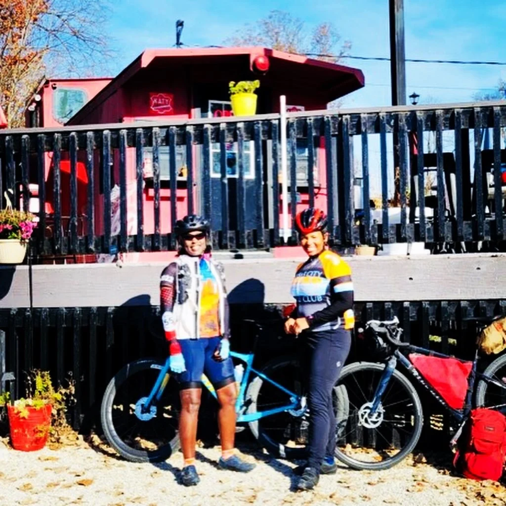
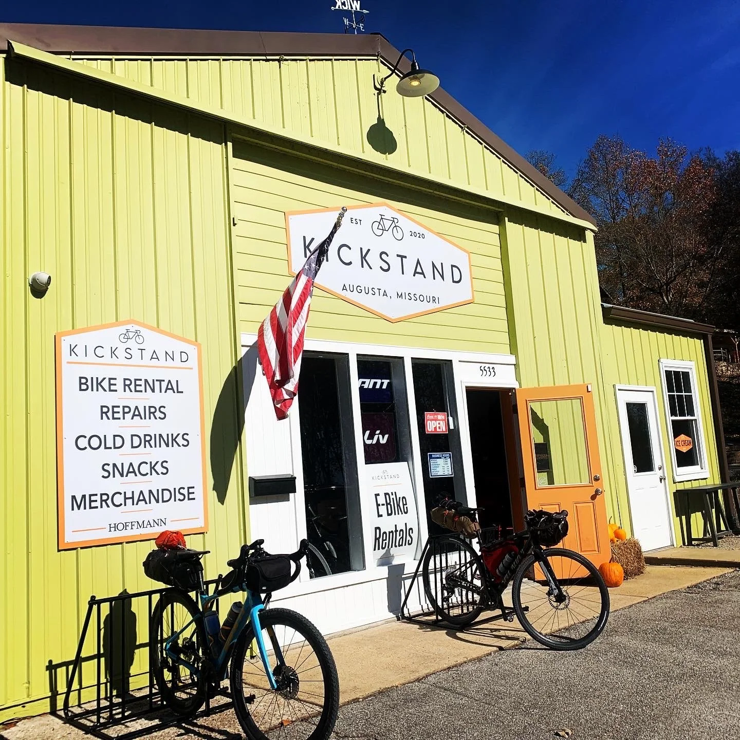
The final day was a beautiful one! Temps were cool in the morning but rose to the 70s by midday. We had another late start as we waited for a breakfast spot to open. The KT Caboose in Marthasville was cute and a great breakfast and lunch spot with outside seating only. The KT Caboose also has camping spots available. We spent some time talking to the owner, John about the trail and his life story. He planned to close for the season later that week. From there we just enjoyed our final day on the trail. We stopped at a bike shop, one of three we passed, for air in my rear tire as this was second day being low in the morning. I love tubeless tires. This was the only bike issue we had. Of note a few of the trail “depots” had air/bike repair stations more on the second half of the trail than the first. Also though water was off at the trailheads (they turn off November 1), most bathrooms (the ones with pit toilets) were clean and open or had a port a potty. The trail and its depots are well maintained.
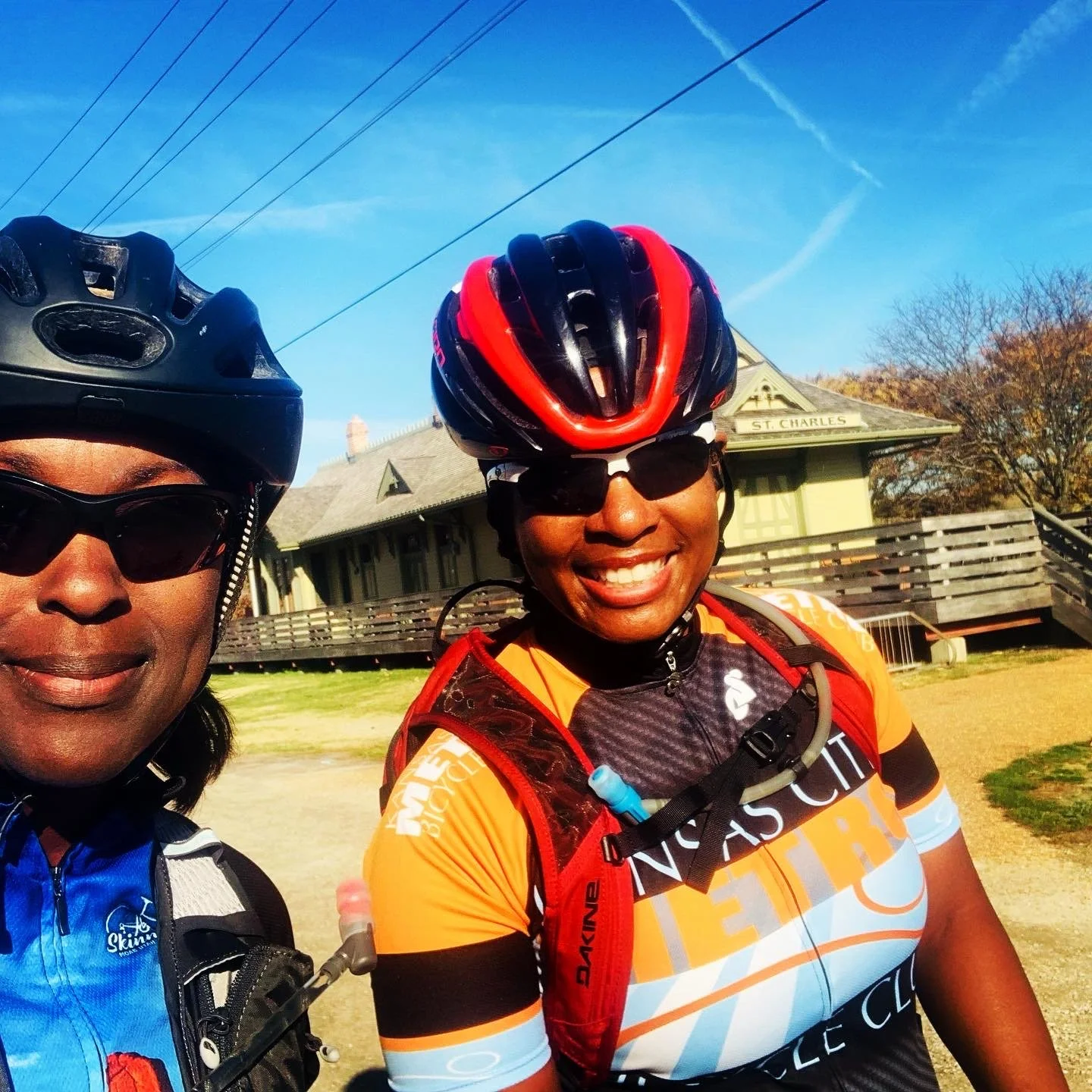
More cyclists were out enjoying the lovely day as we approached the St. Charles depot and we enjoyed seeing the Lewis and Clark statue. The Katy Trail extends another 12 miles to Machens but as no good parking and our added miles on the Rock Island we decided to skip this section. Although, when we heard there was a bell to ring in Machens we slightly regretted missing it. We also skipped about 16 miles of the Katy trail at the beginning, Clinton to Windsor, as we came off the Rock Island Spur to the Katy at Windsor. Still I’m putting this trail in the completed category with a total of 308 miles ridden over the 5 days. The Rock Island Trail was quite enjoyable (not withstanding the long riding day) and I recommend adding it to the Katy. If you enjoy off trail gravel, the gravel road gap section out of Lee’s Summit was great and you could easily add on some off trail gravel loops as we crossed many the gravel road the first 3 days. The celebratory meal at Bike Stop Cafe was excellent. Overall we had a blast. So glad I was able to find time to finally ride the Katy and to have Allison join! Travel by bike what fun!