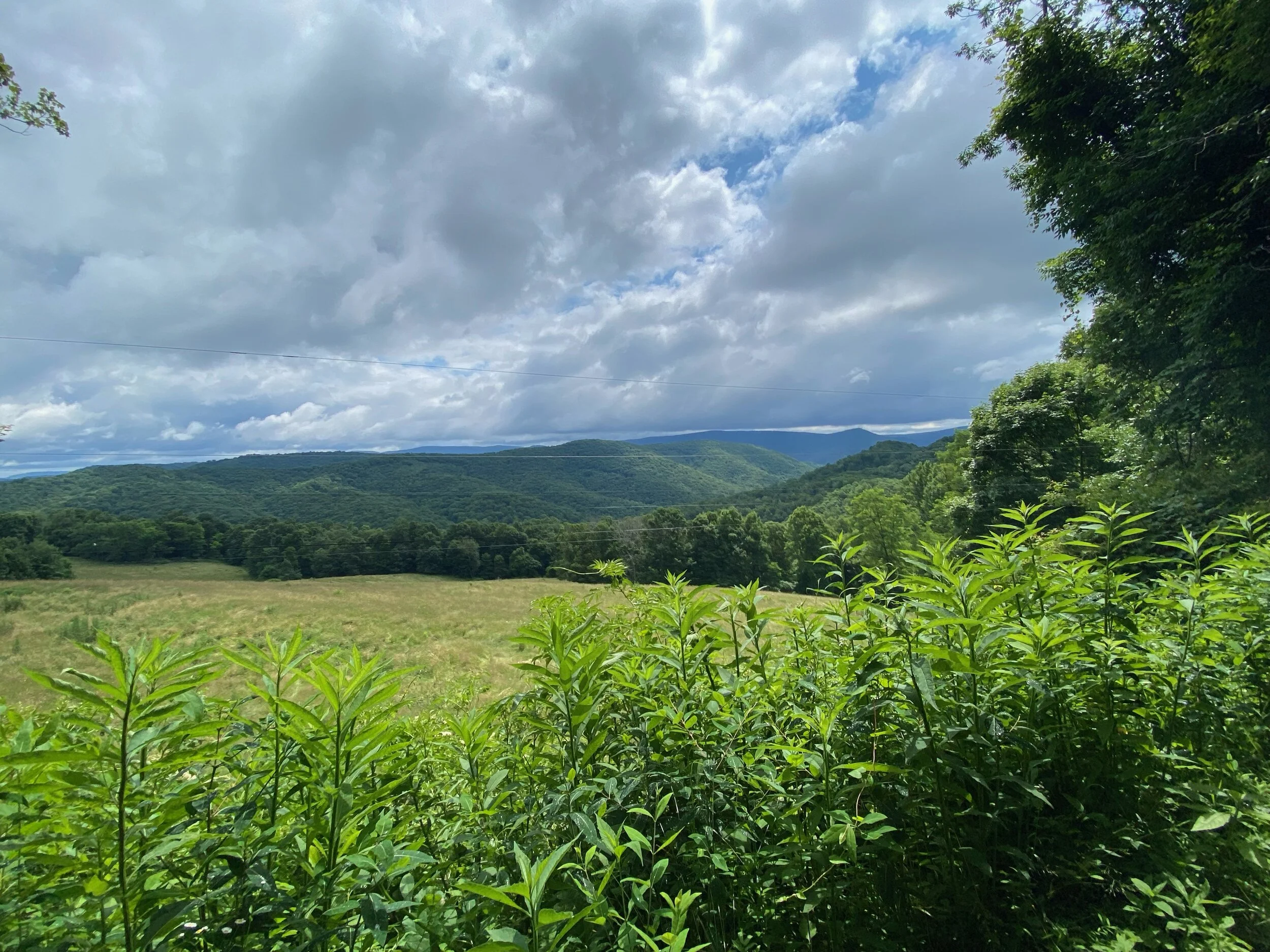
Recap: Shavers Fork Gravel
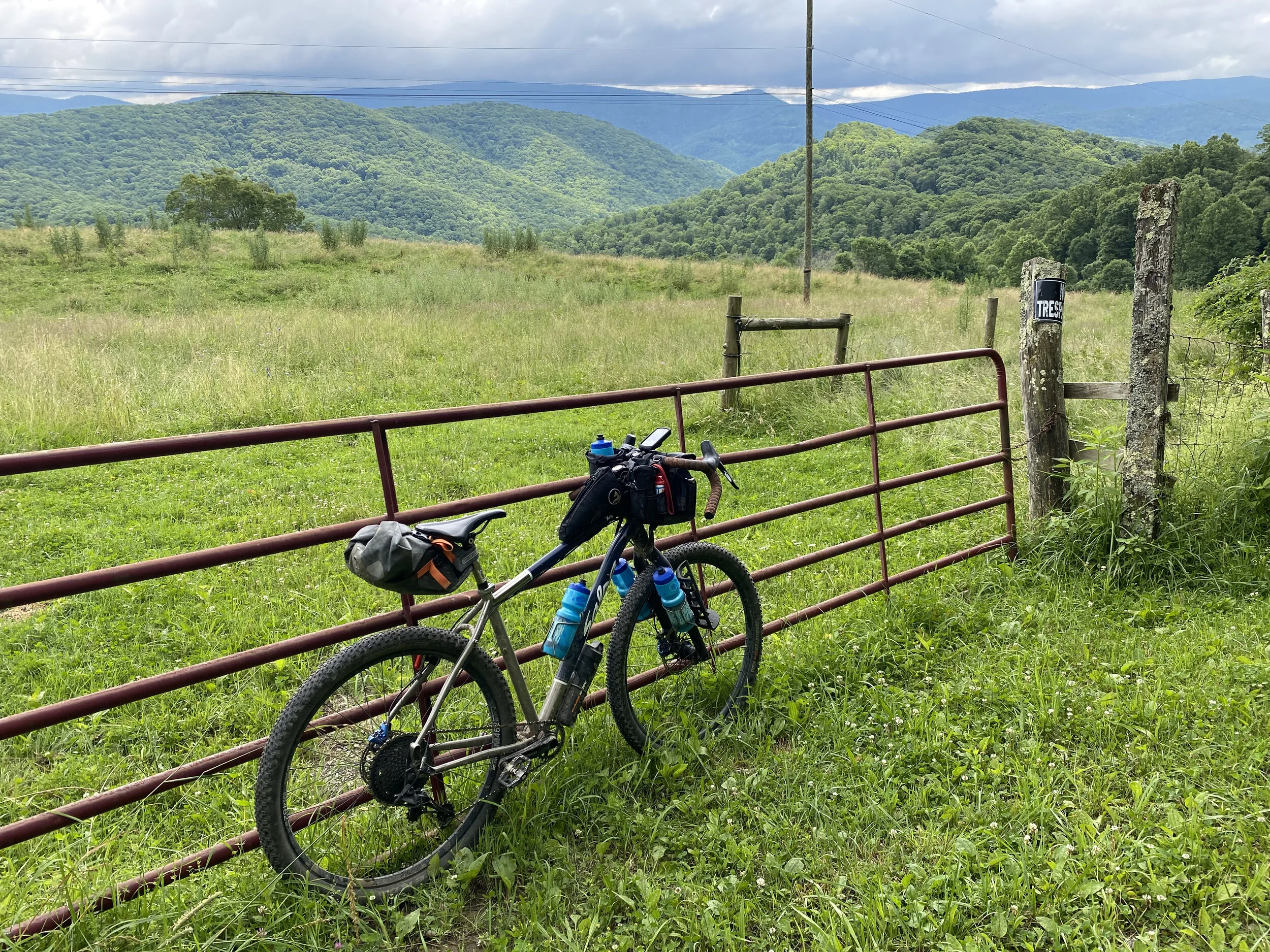
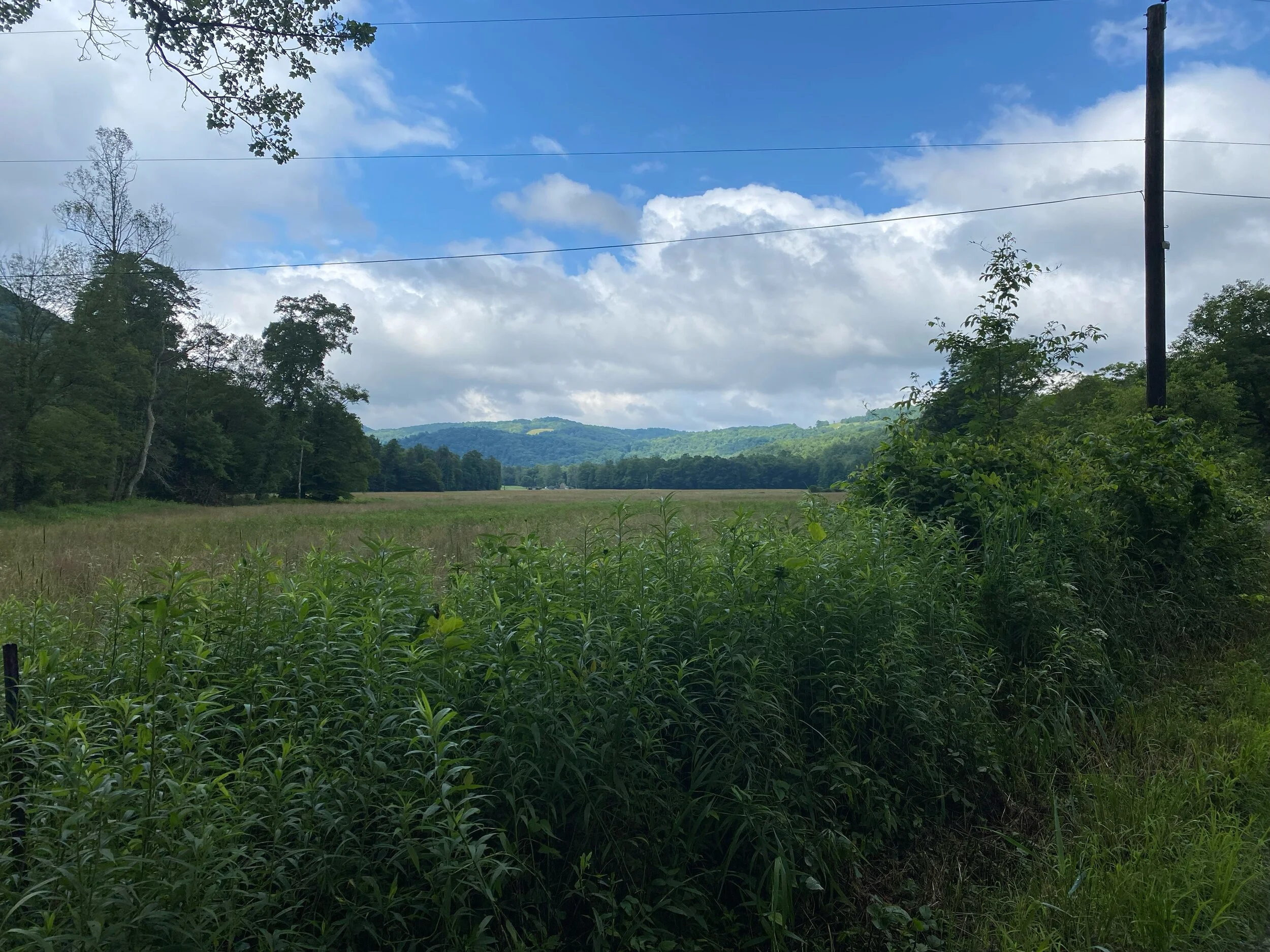
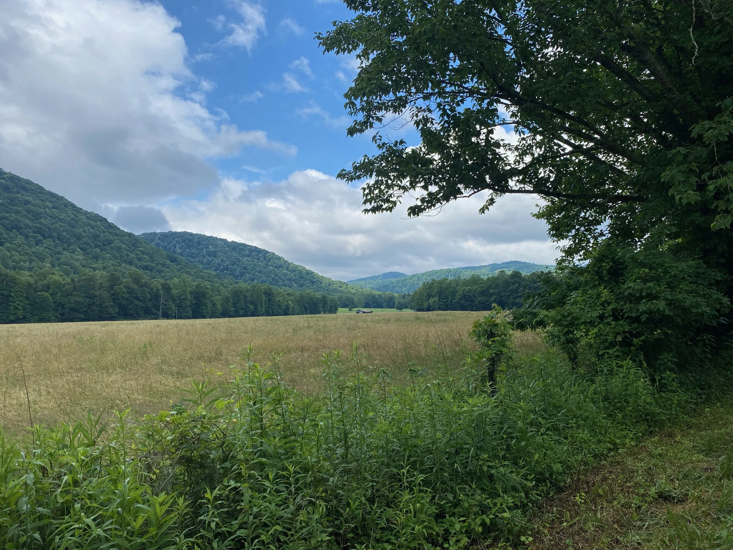
Bickles Knob in the distance
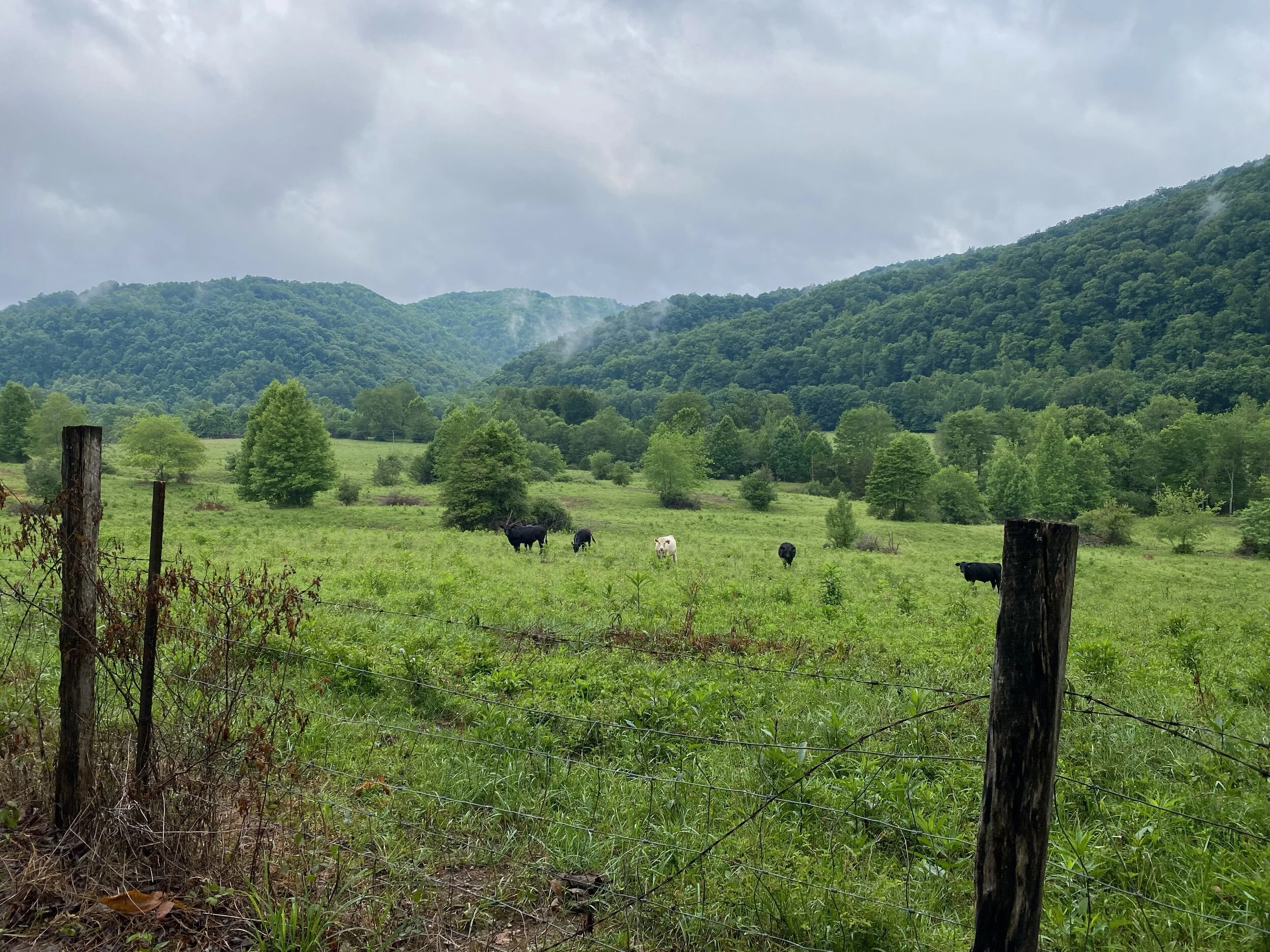
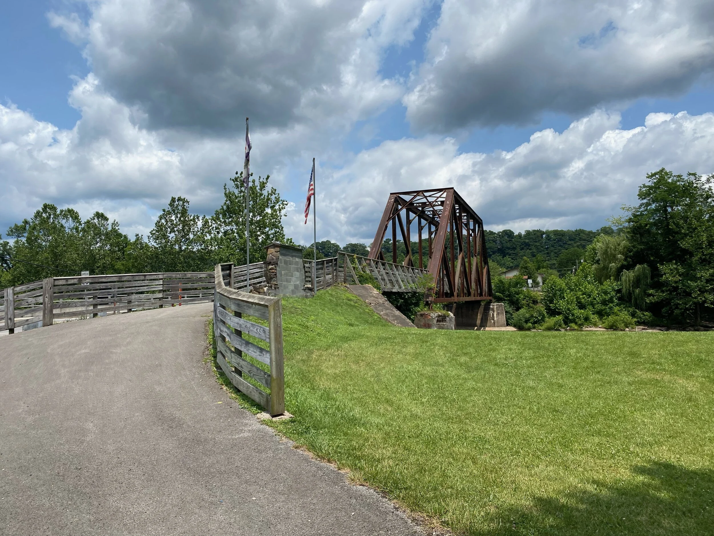
I decided to explore roads to the south-southwest of Parsons, WV following the Shavers Fork of the Cheat River in the Monongahela National Forest. Parking is readily available at the Mill Race Park in Parsons. Bathrooms are available near the shelter.
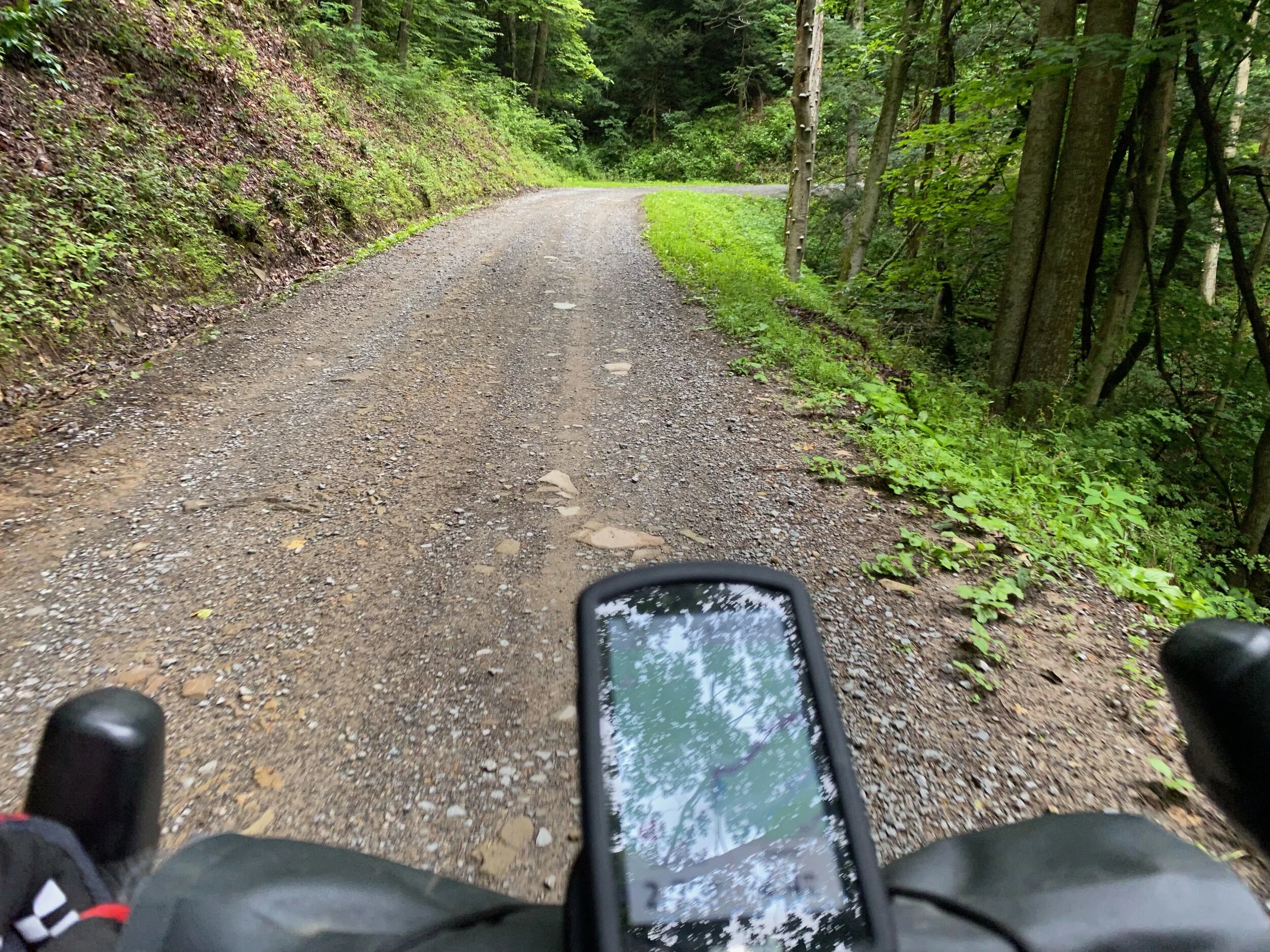
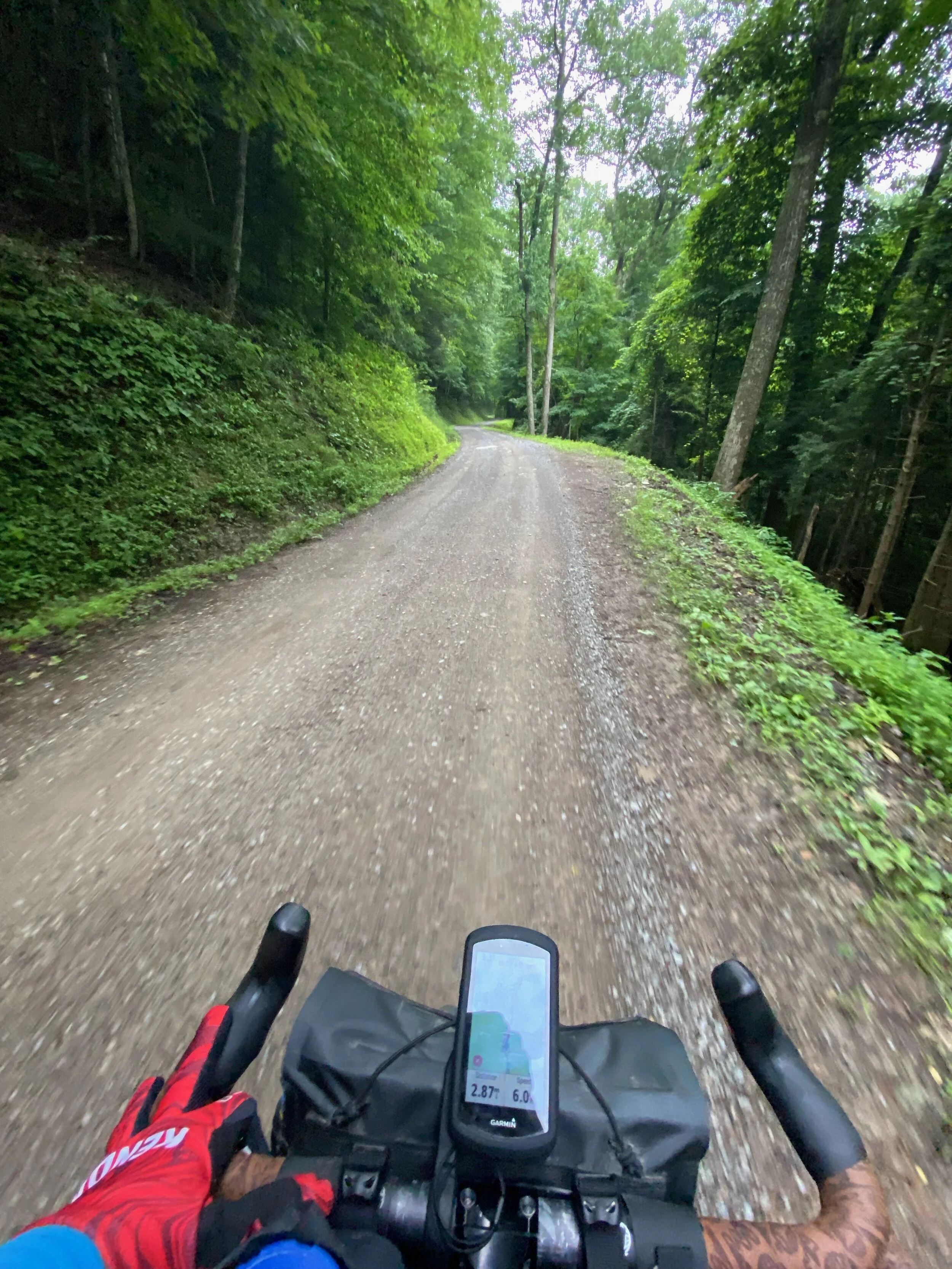
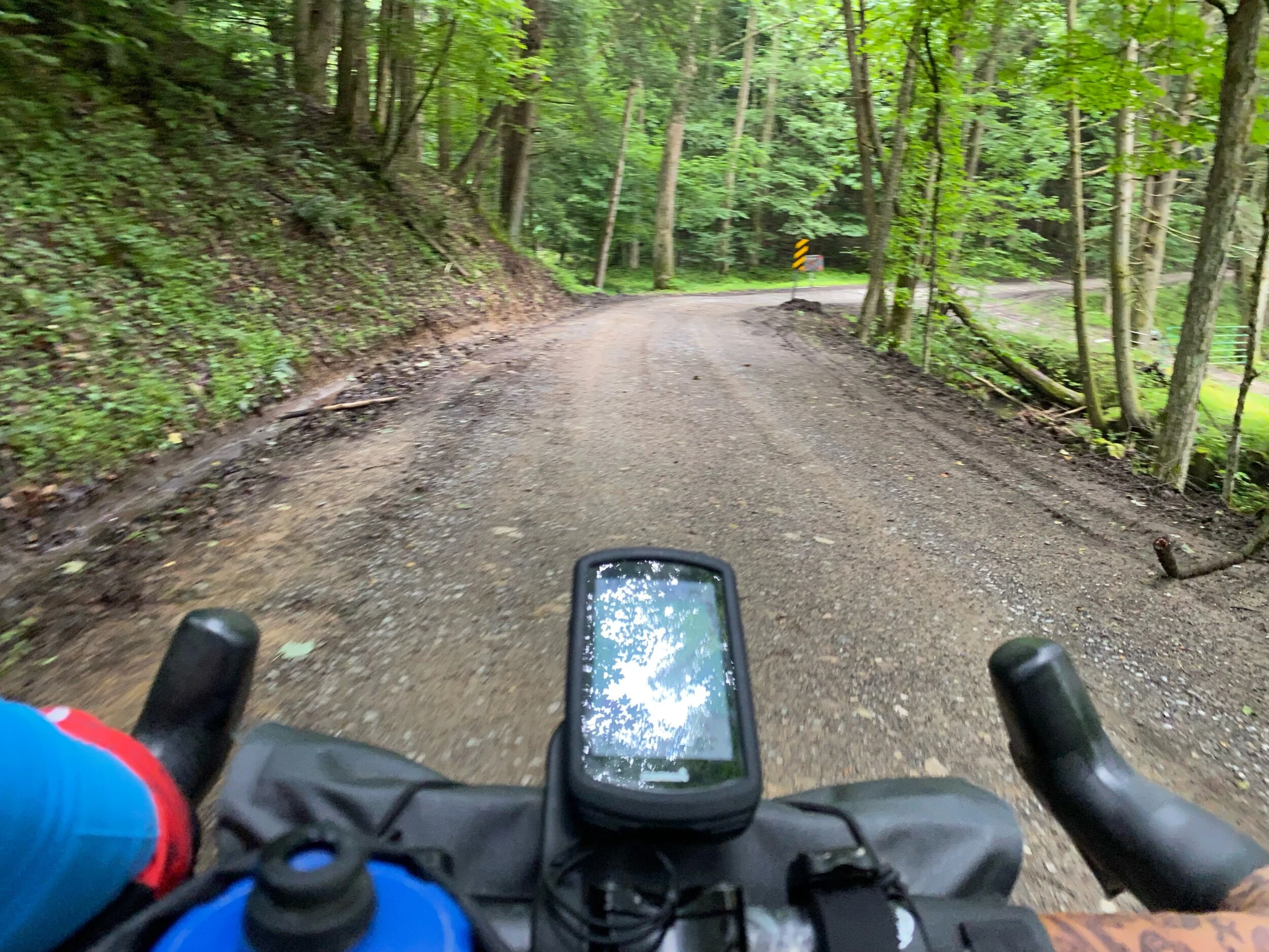
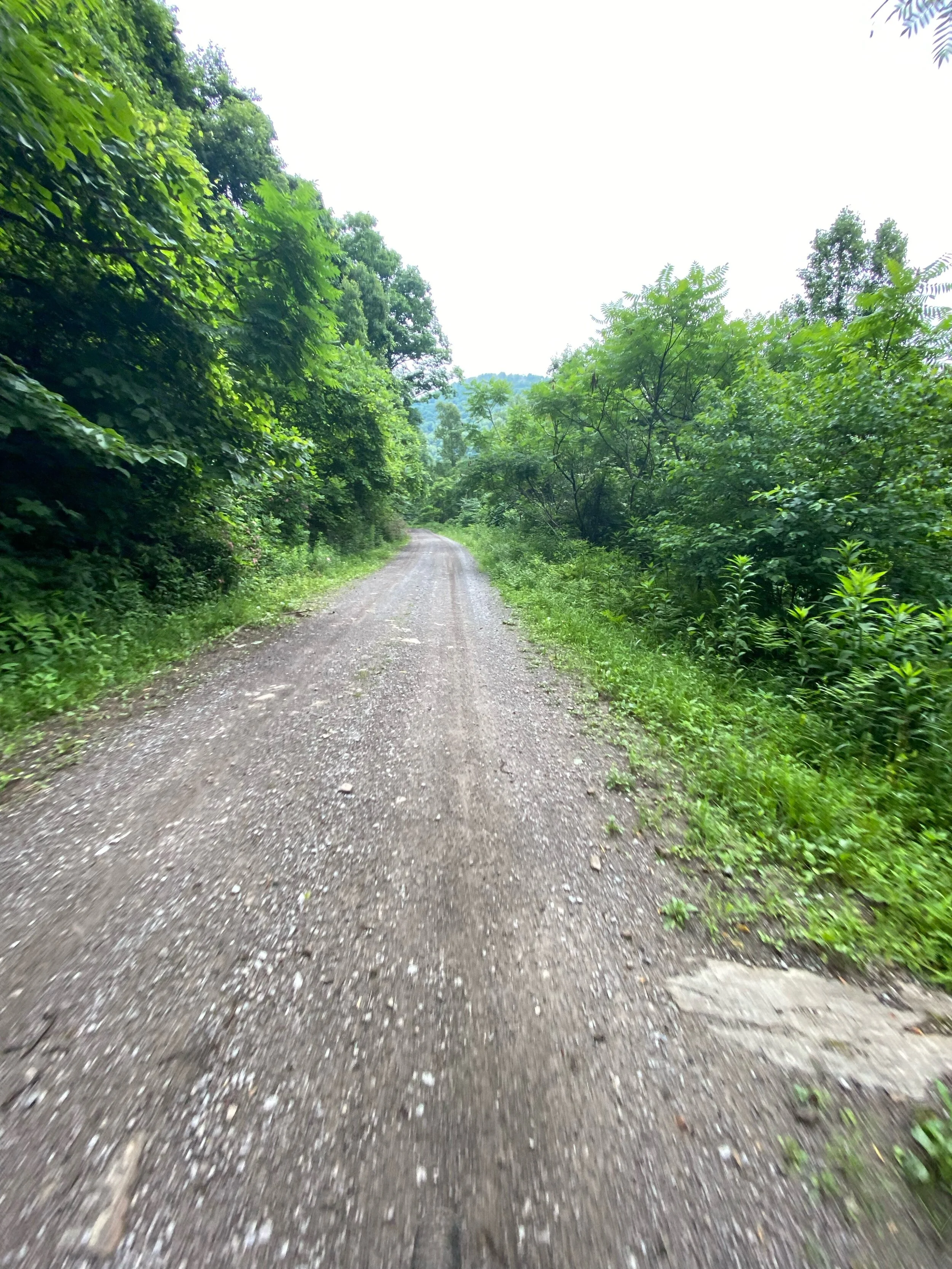
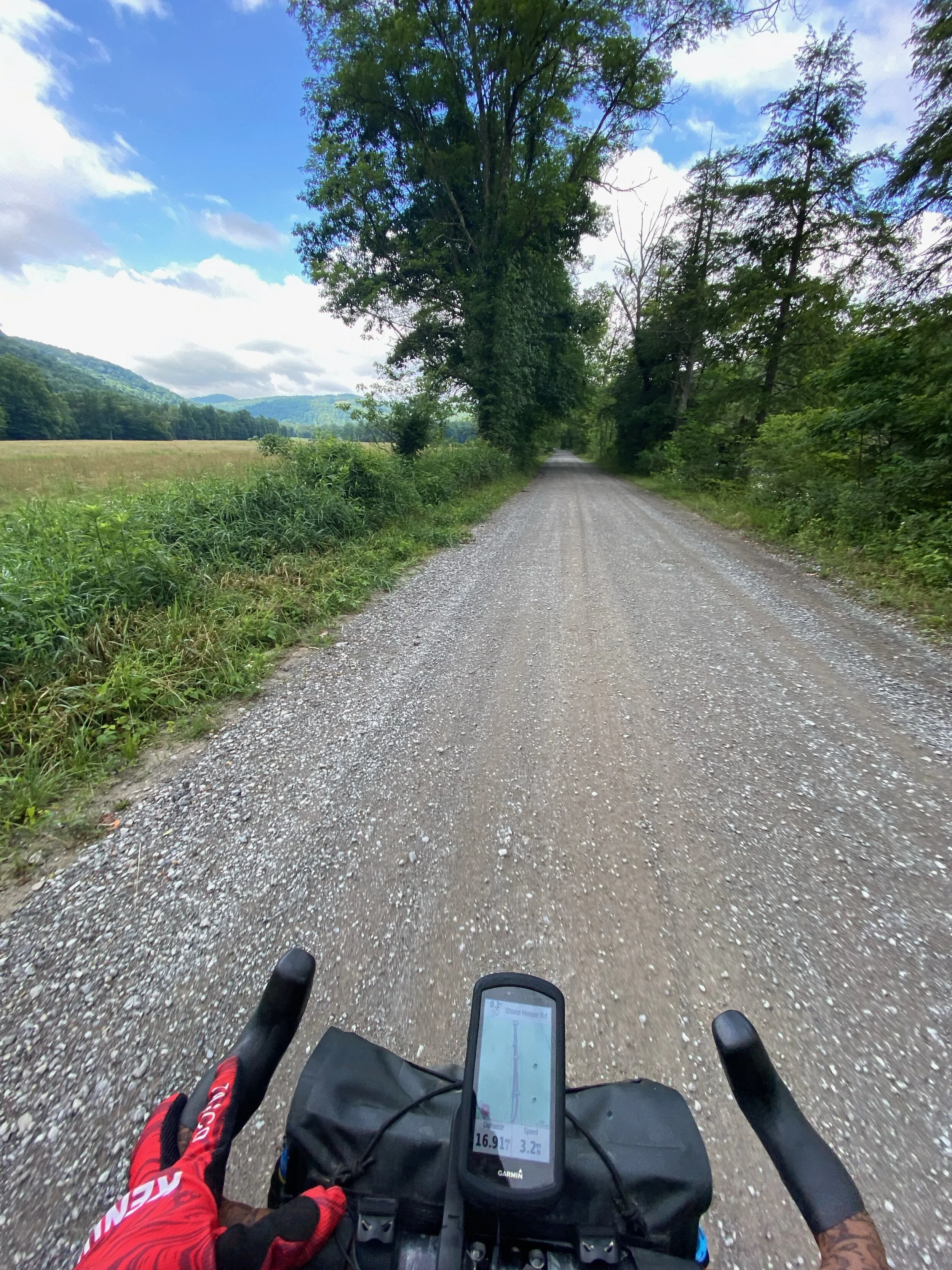
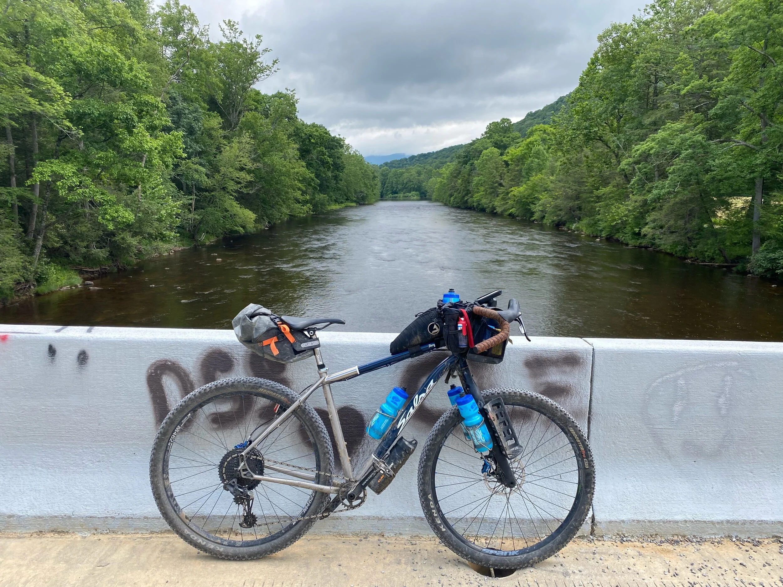
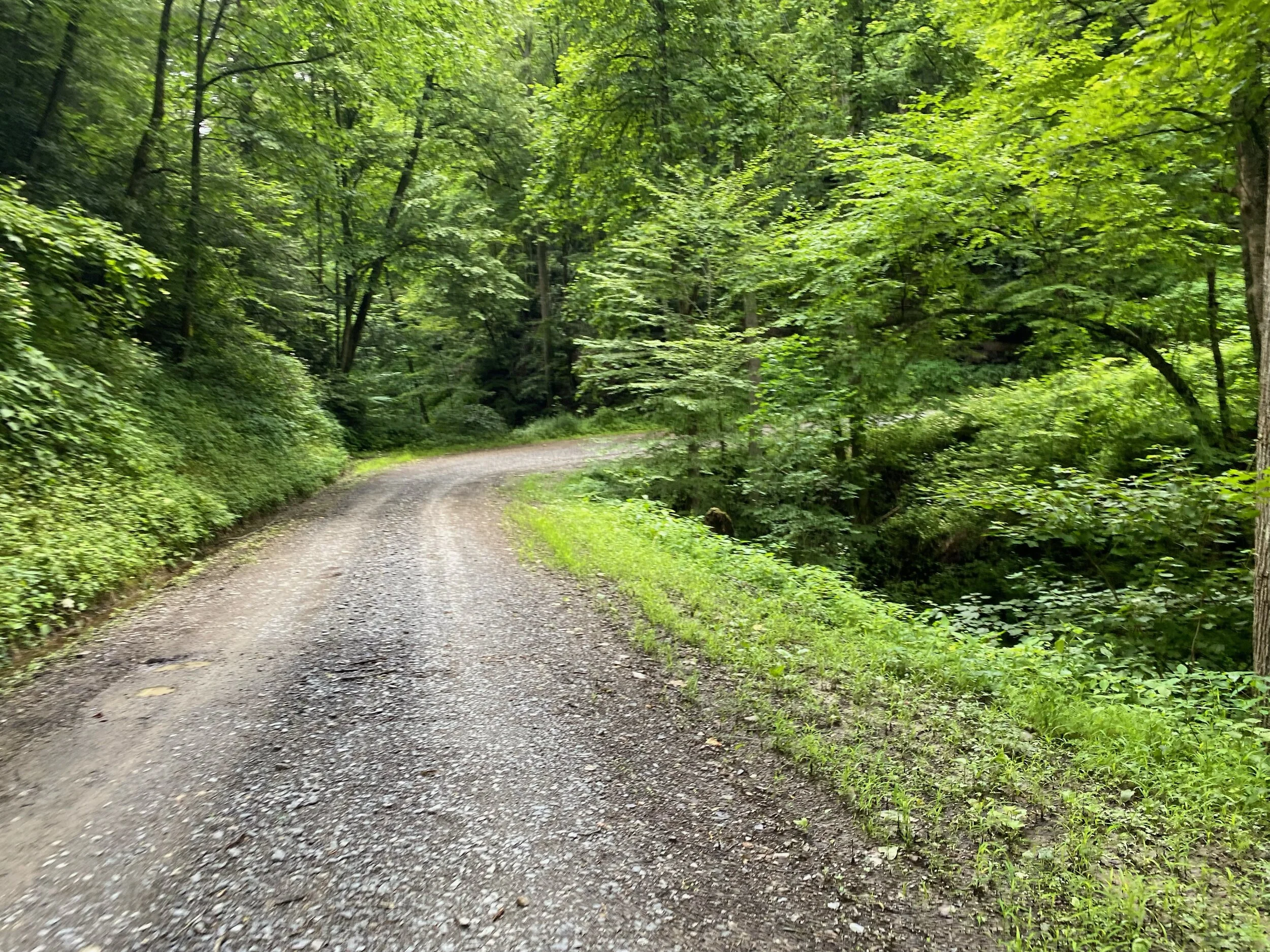
The route starts with a climb through the neighborhoods out of Parsons and then drops down into the river valley where the road turns gravel around 2 miles in. Government Rd (becomes Shavers Fork Rd.) meanders along Shavers Fork following the river upstream. This section is a gradual uphill with some rollers and passed farms, homes, camps and Monongahela National Forest camping and recreating areas . At mile 14.5 the route can be cut short by taking the bridge over to County Route 7. This shortcut removes the two major climbs.
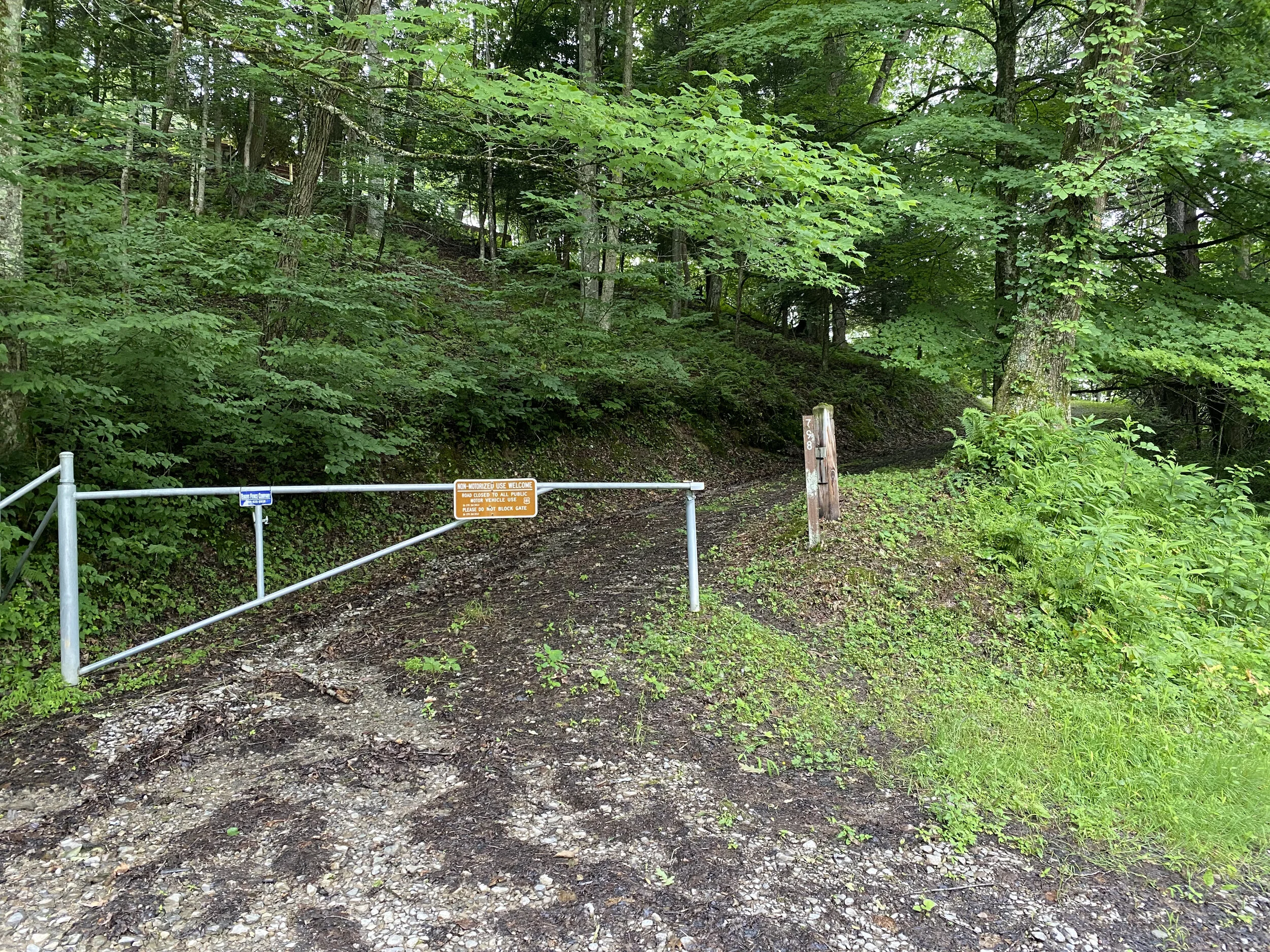
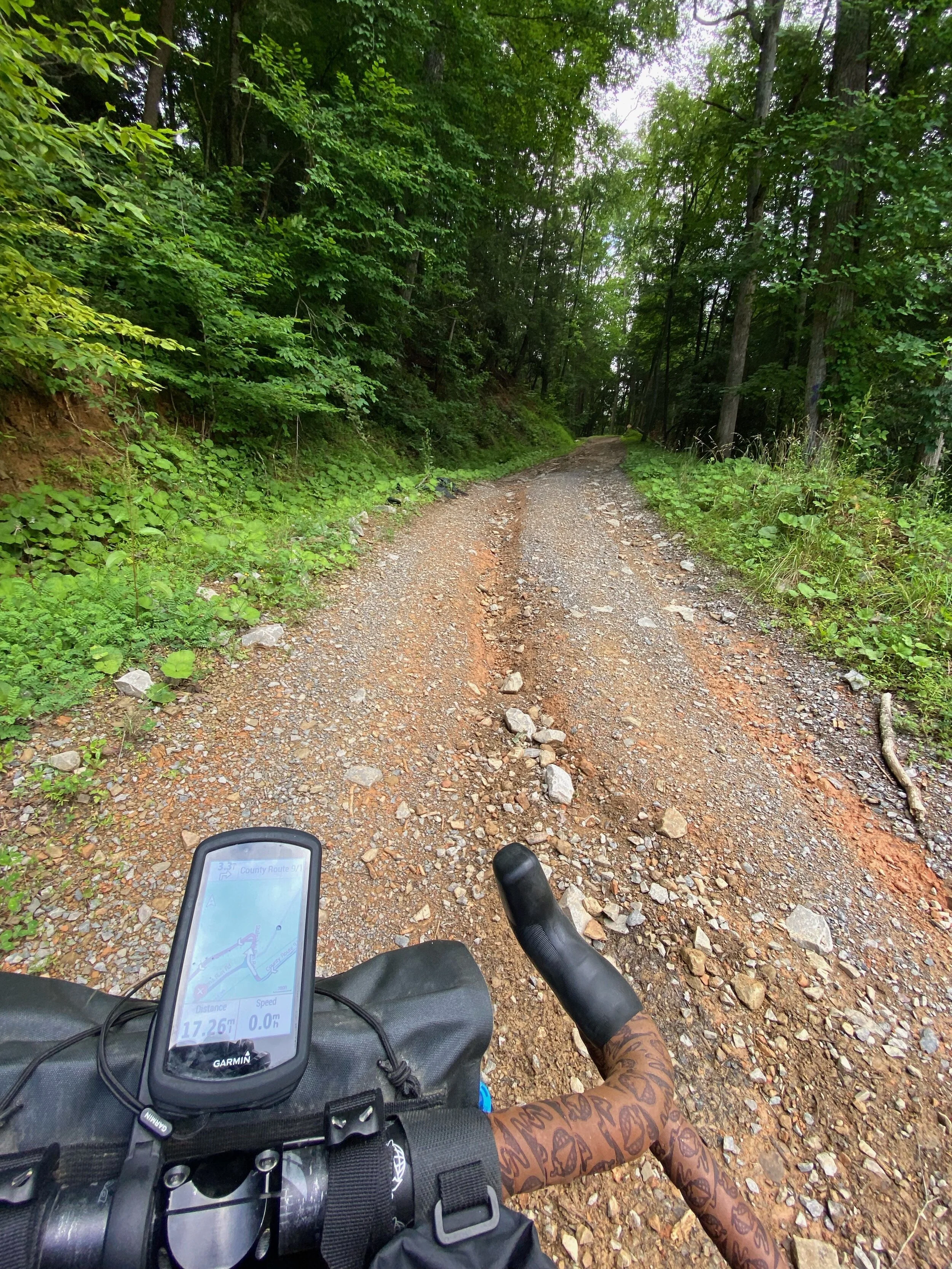
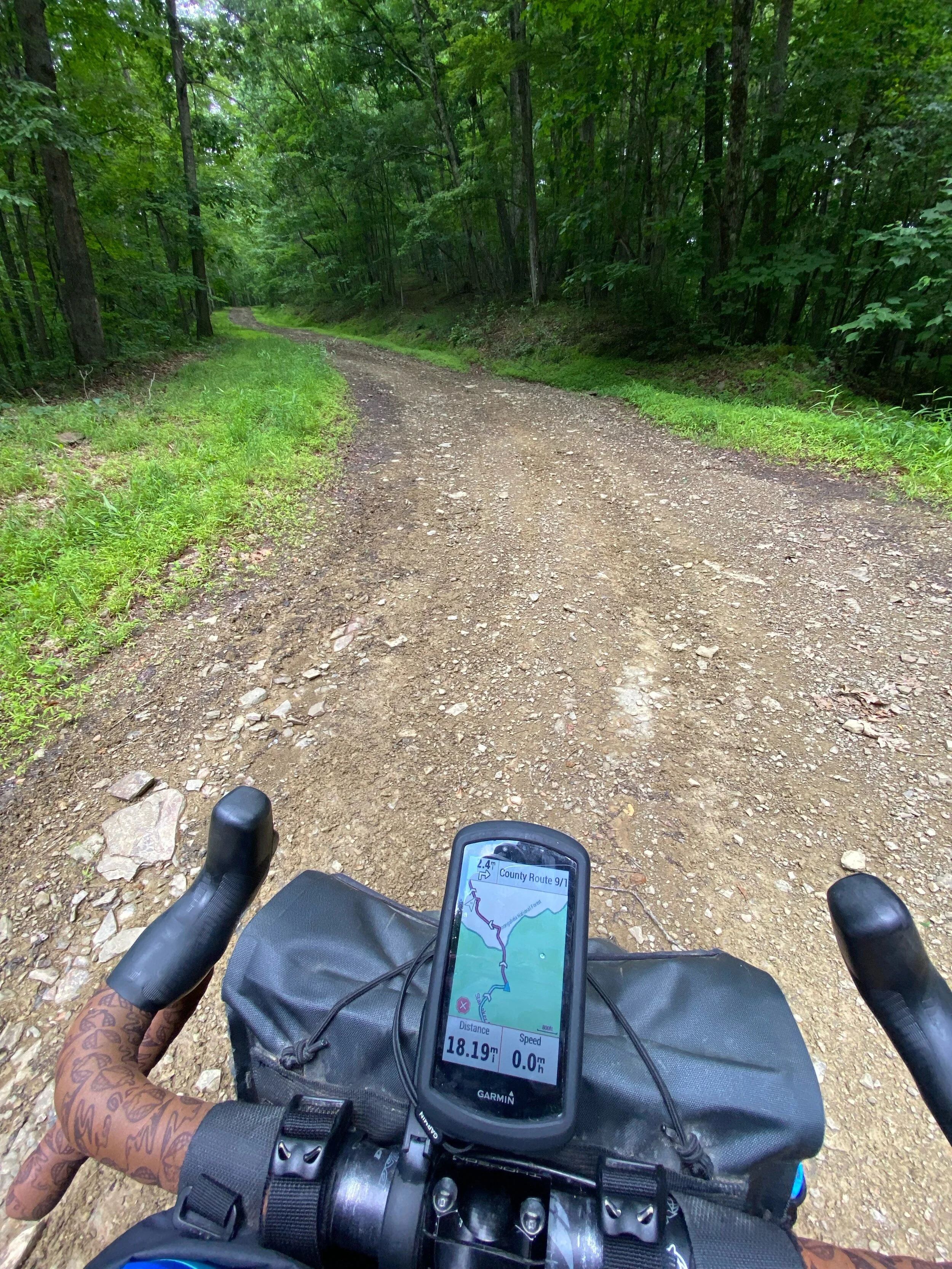
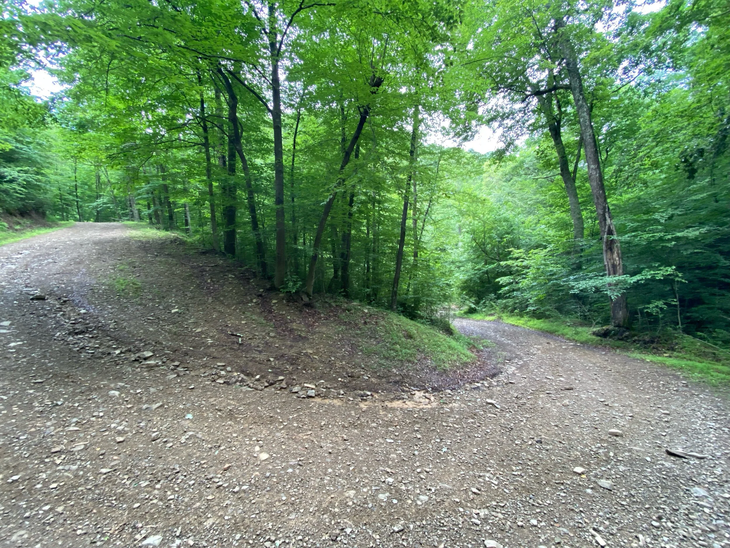
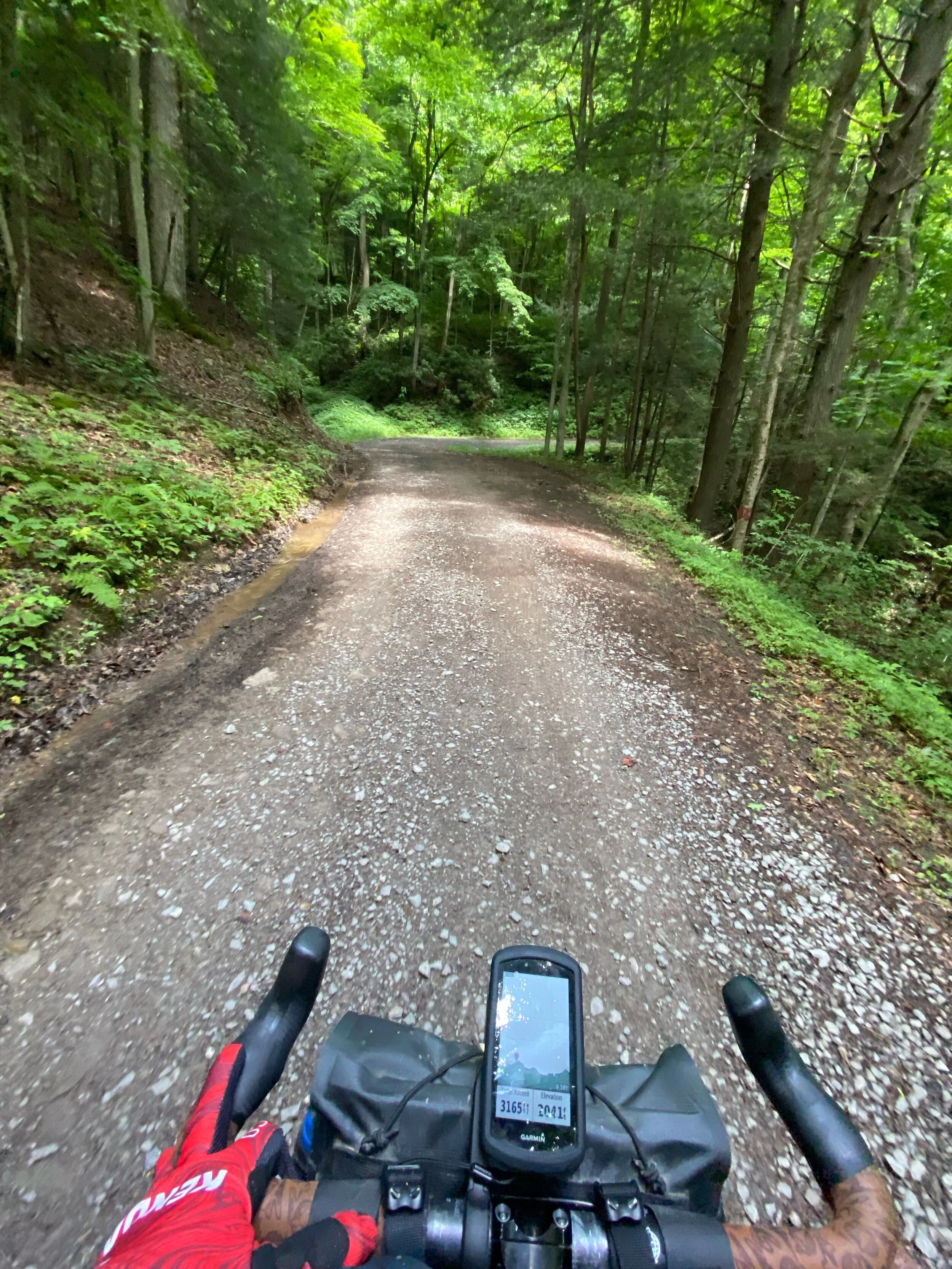
Once you cross the bridge at mile 17 the paved road veers to the left. Head straight up Craven which is the middle road. This is a jeep/ATV road with loose gravel and small rock gardens. Average grade is 10% and the road hits the peak and drops down the other side with similar sketchiness. I talked to a local who said they use the road to get down to the river quickly, but use Jeeps or side by side vehicles.
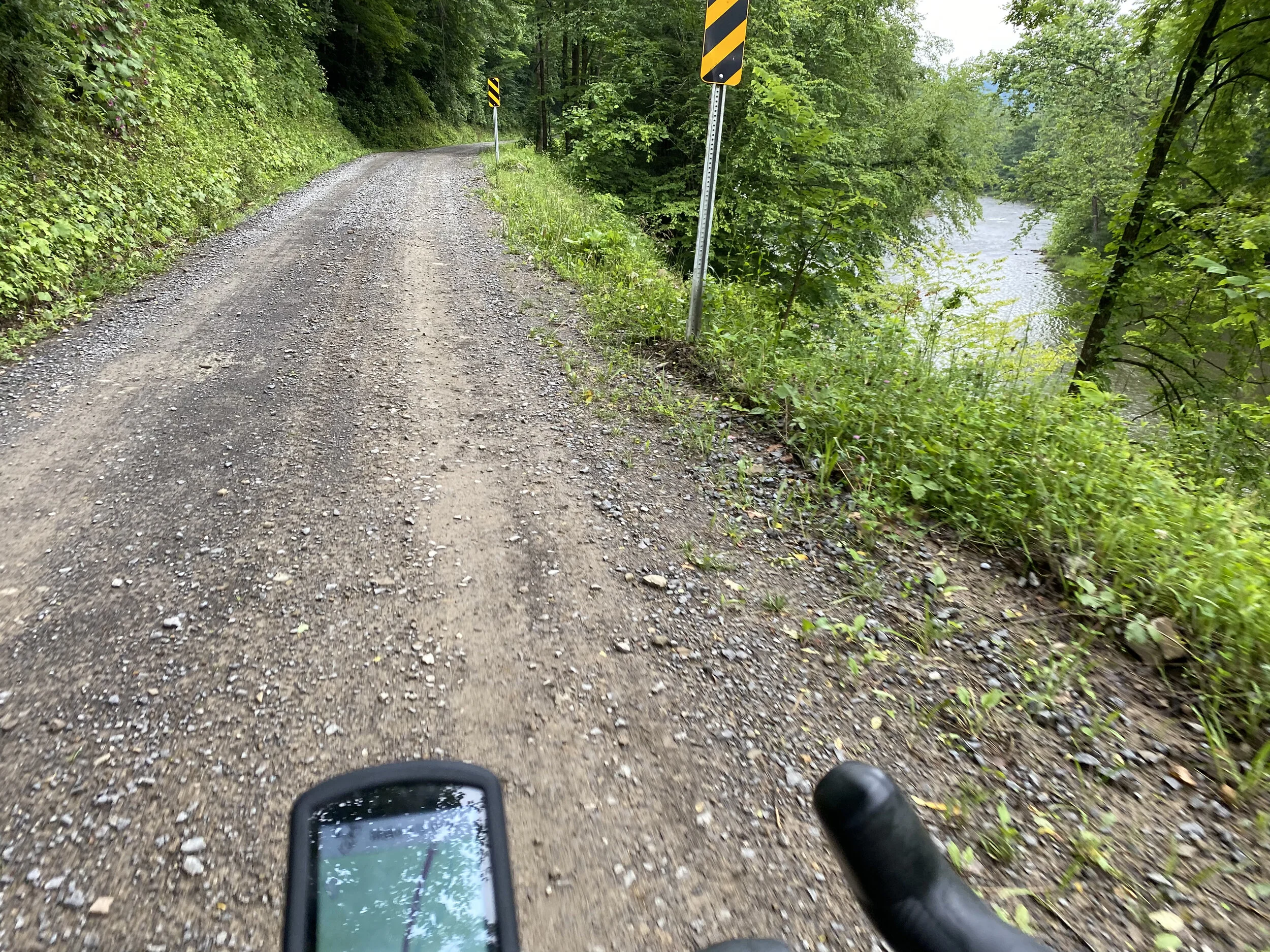
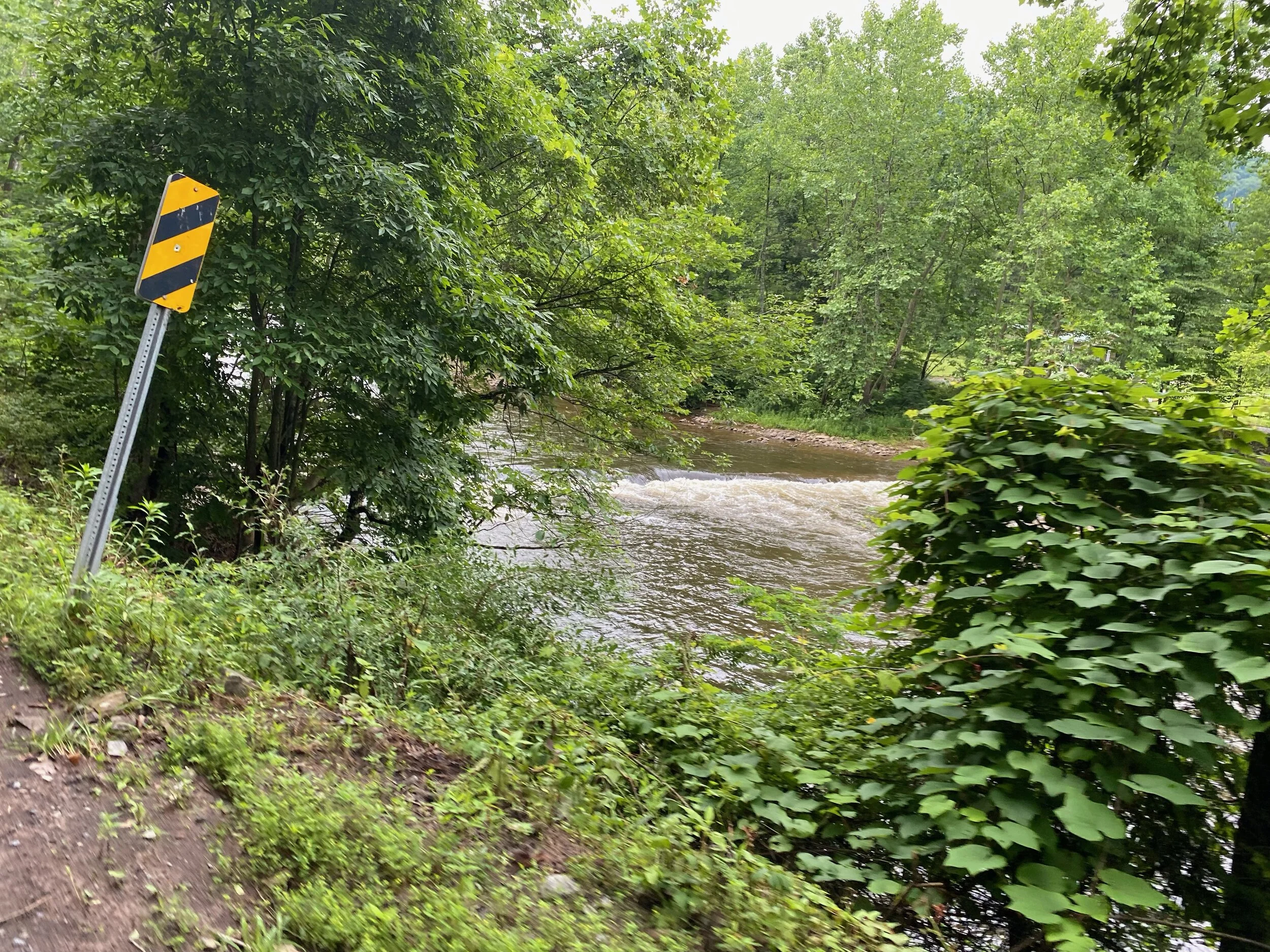
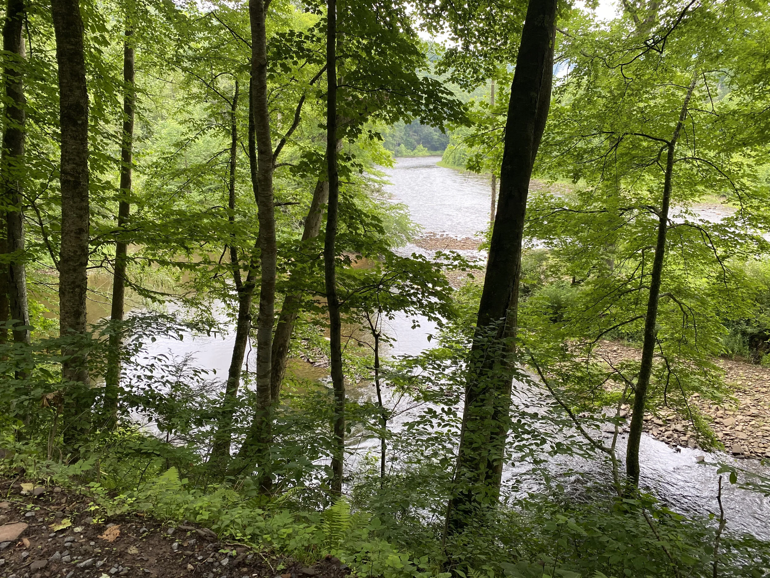
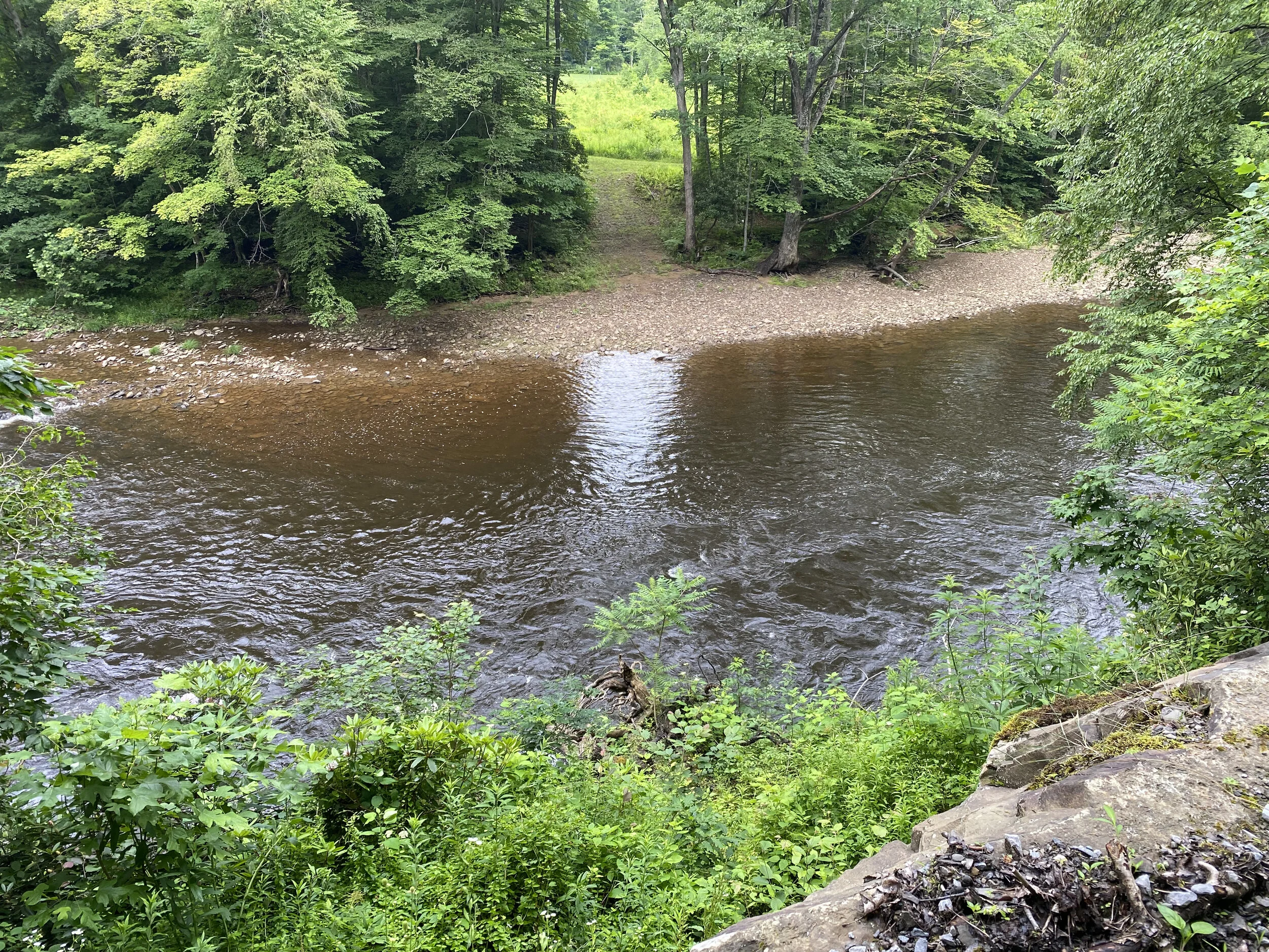
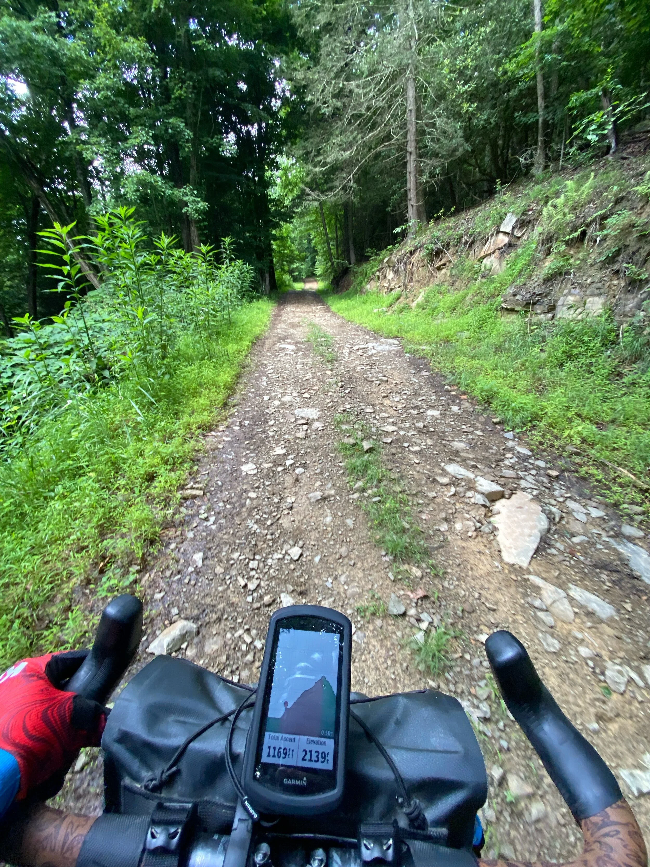
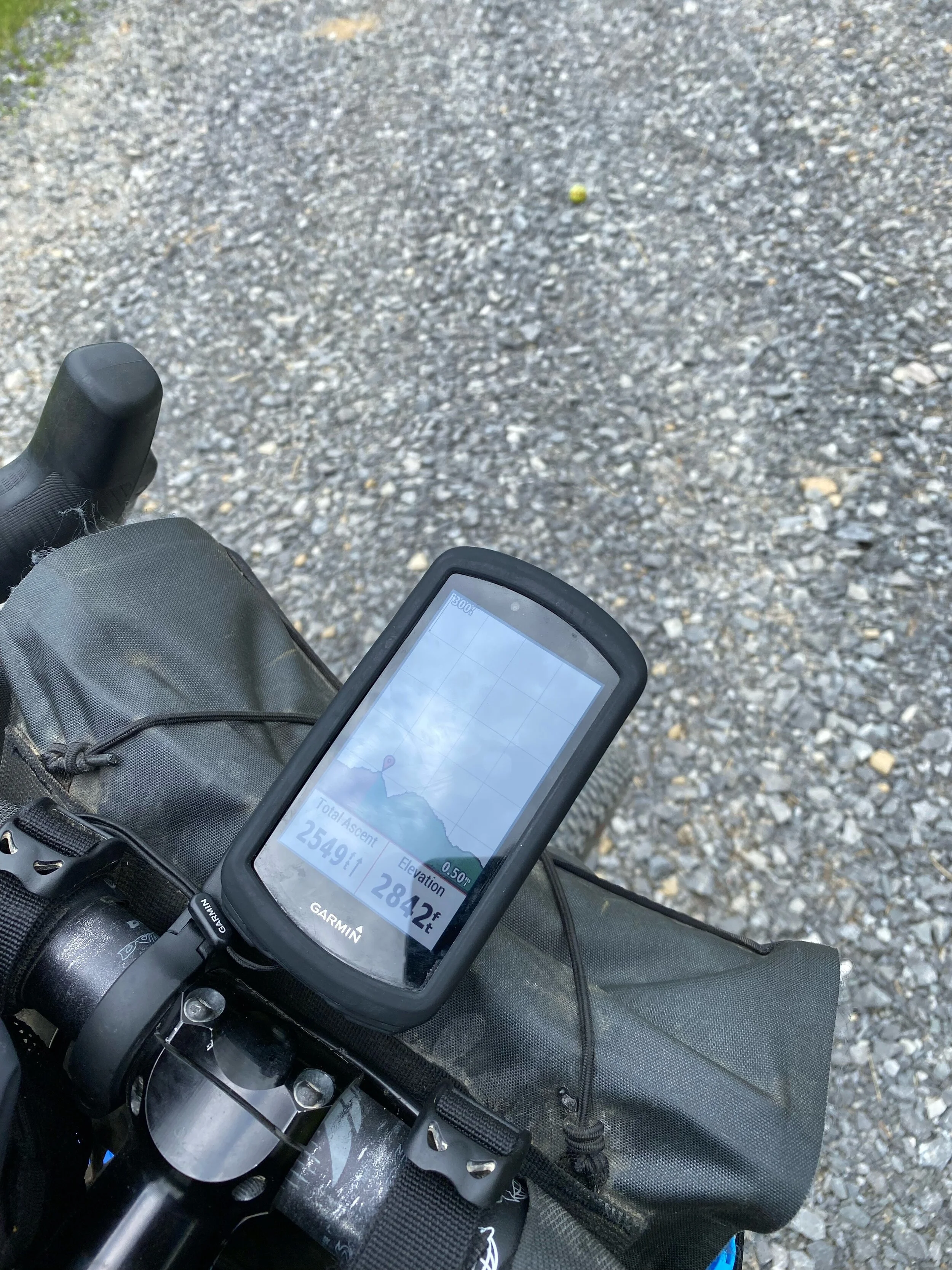
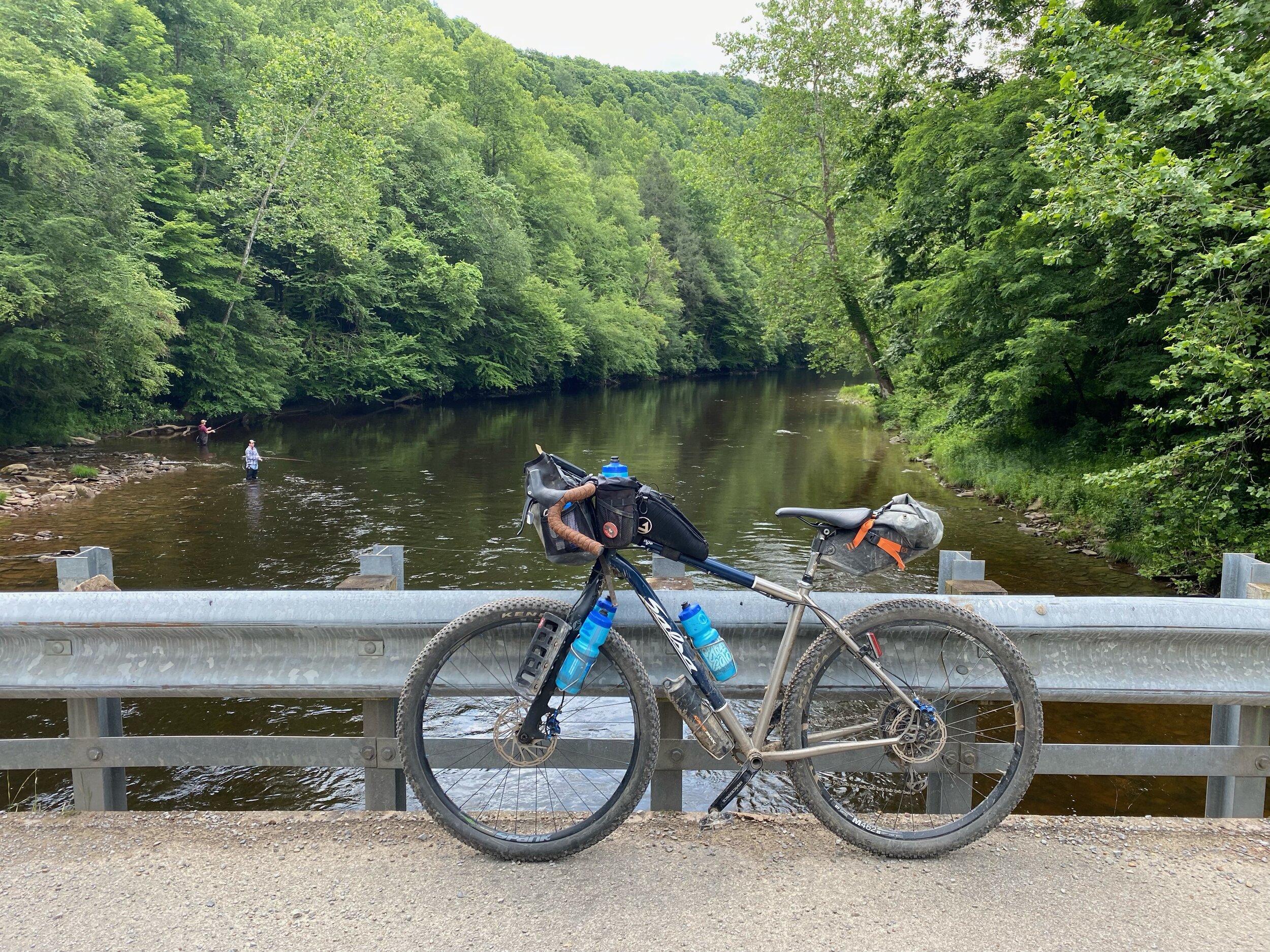
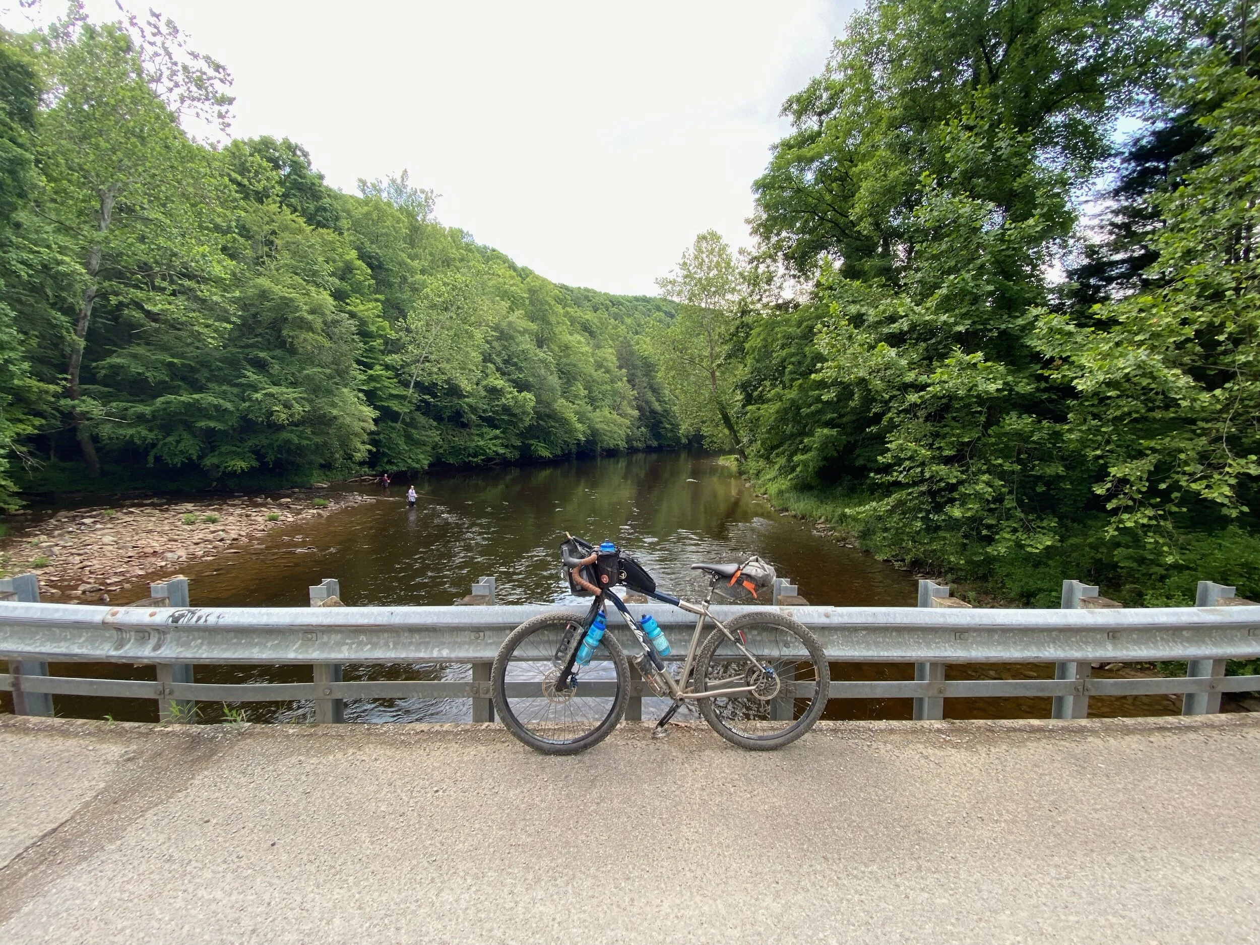
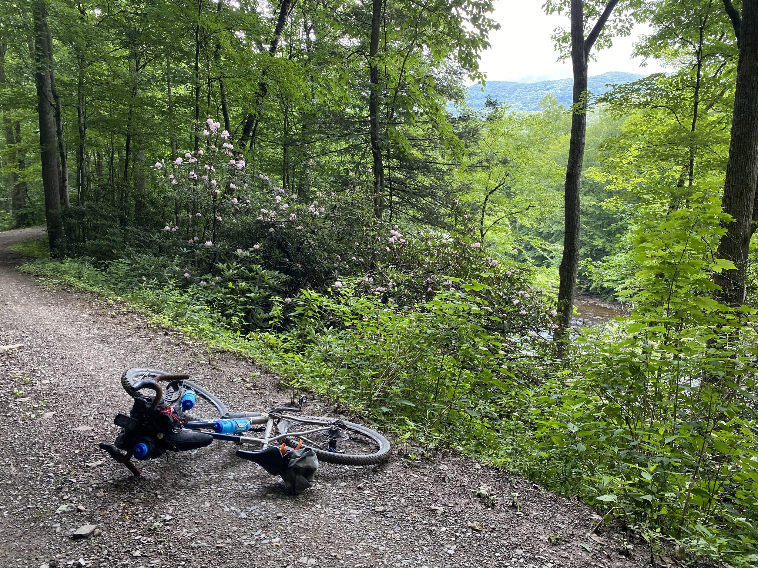
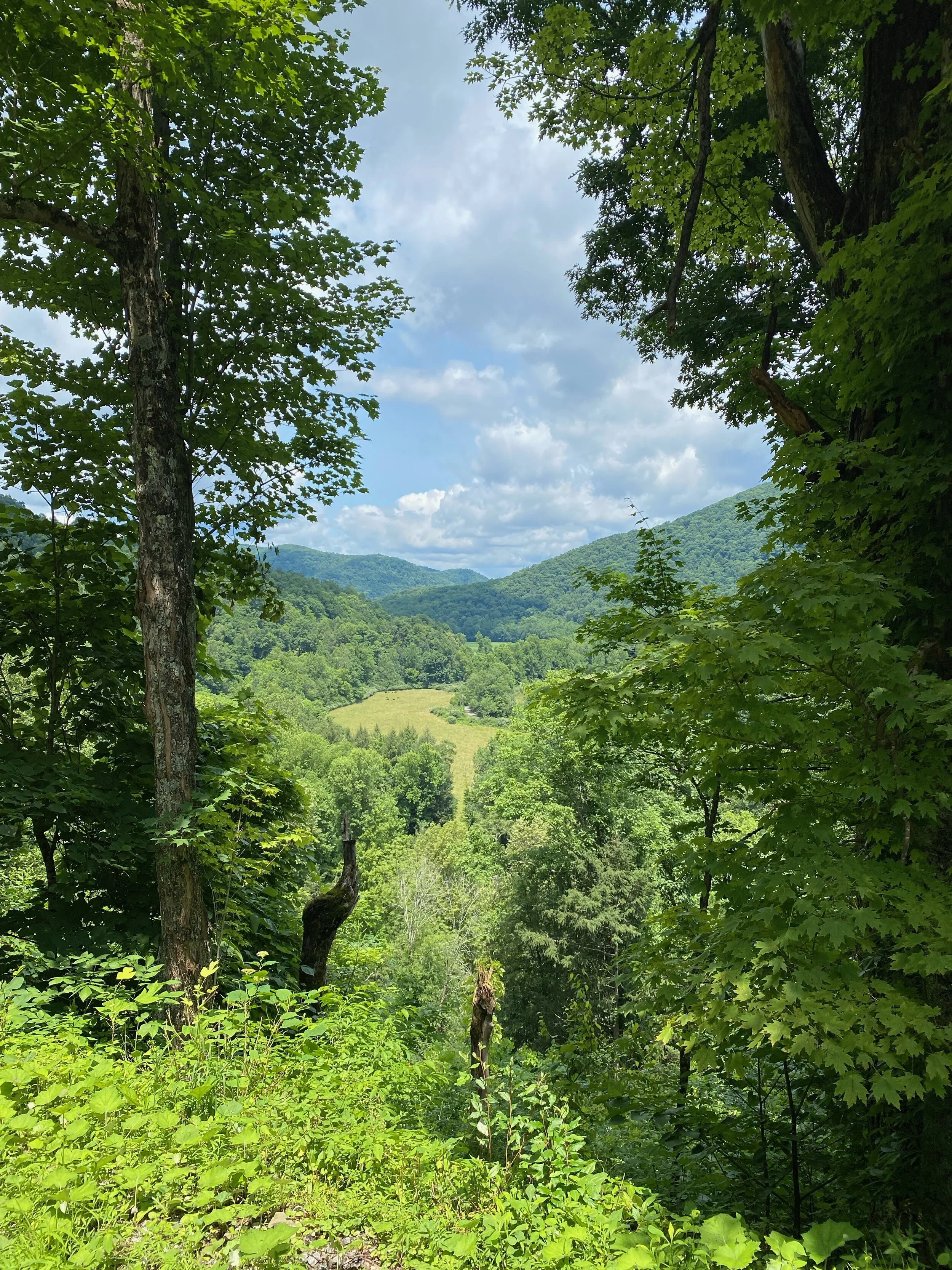
The route turns back into pavement as it drops down into the valley passing by a number of houses. After the turn the climb turns back into gravel and makes its way up to 2800 feet elevation and follows the ridgetop for some beautiful vistas. The next downhill is all gravel for over 4 miles to the river. A number of people on ATV came up the road as I descended. I stopped for a quiet lunch break at the “shortcut” bridge (same bridge at mile 14.5) with several people fly fishing below. Two deer tried to cross down river as two kayakers put-in nearby.
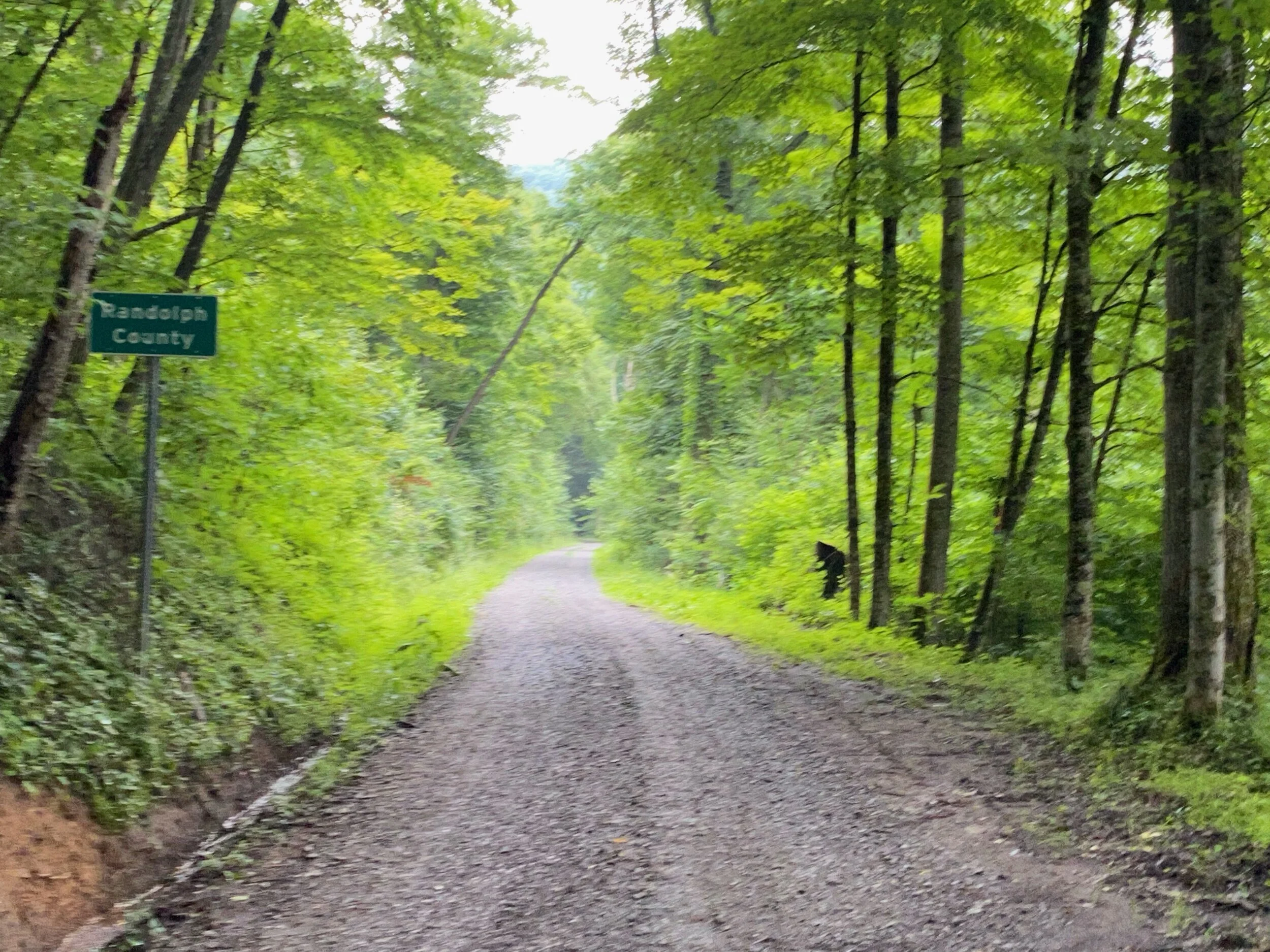
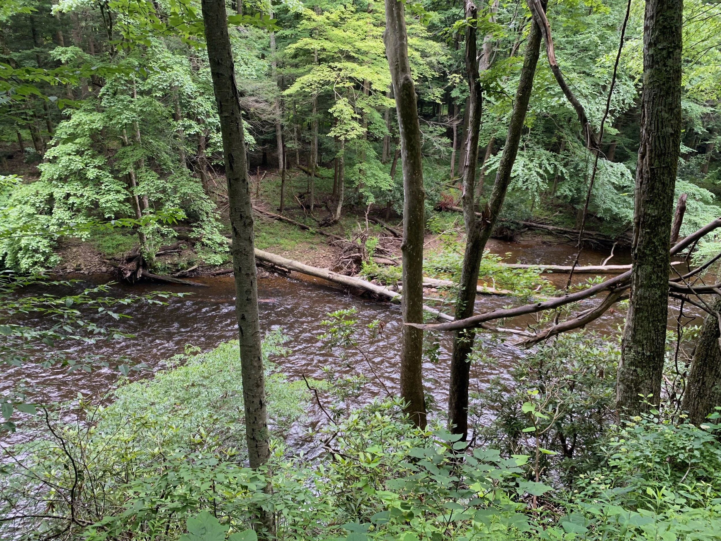
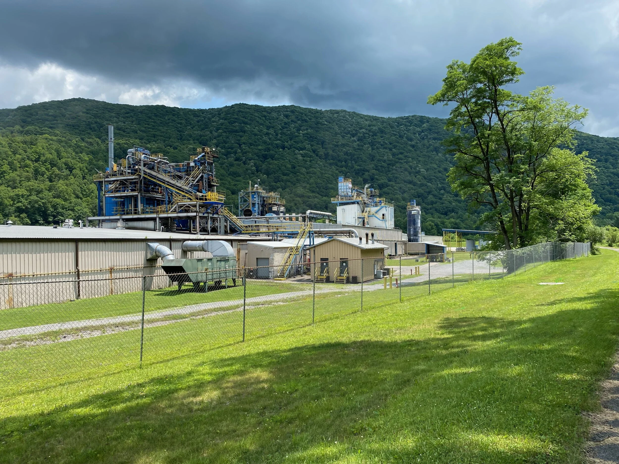
County Route 7 again follows the contours of the river but sits higher up on the hillside as Government Rd. There are more homes along the way as well. Around mile 35 the route turns back to pavement and leads you to the Allegheny Highlands Trail. The trail is paved and passes the Kingsford charcoal plant as it heads back into Parsons. Note: At the time of this post the Allegheny Highlands Trail heading toward Elkins is closed because of a highway expansion project so check with locals or the website if you plan to ride that section.
Temps were in the 60’s for most of the day and ended in mid 70 and some sun. I saw some deer along the way and only encountered three cars on the whole route.