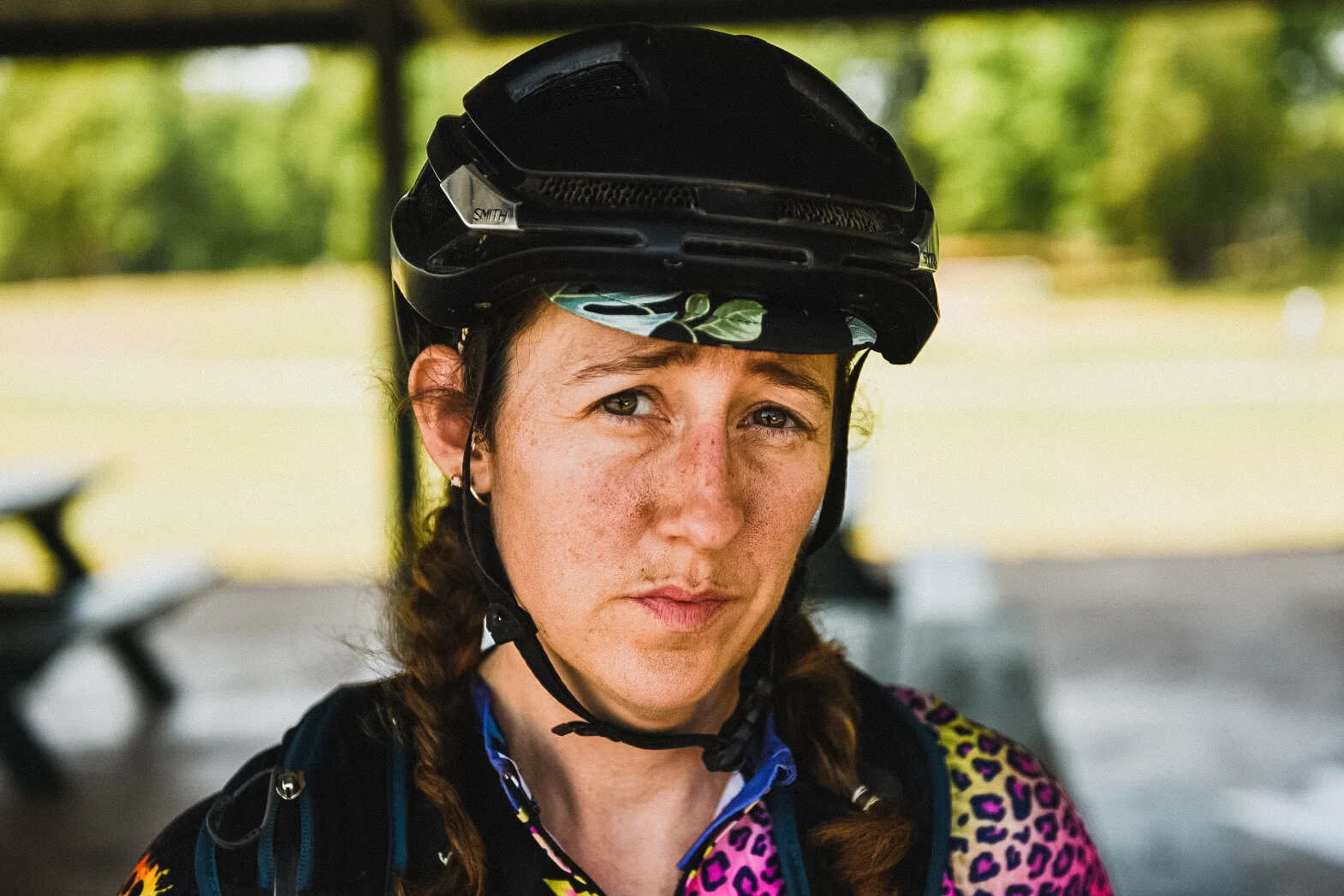
Recap: The Crusher EX - Enhanced Gravel Race - Part 1

To be honest…I’m not entirely sure where to start. I dreamed this big dream in February when it was cold and dreary and I desperately wanted to be outside riding my bike in the sunshine. I wanted to try my hand at the FIST as part of The Crusher EX. So I rounded up a solid crew of folks to help me, trained my butt off, made the best of plans and then had a couple back up plans and headed up to Marquette July 10th to give it my best shot. But let’s start here…
What is The Crusher?
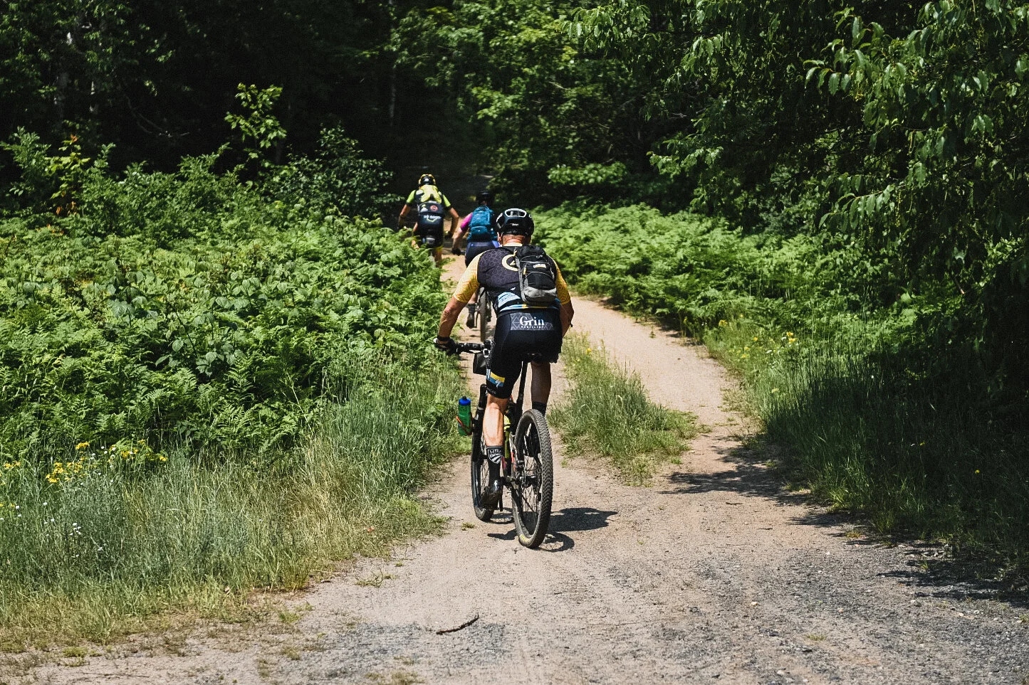
The website say it is “The ultimate enhanced gravel experience”, but what that means is you have several crazy options. One option is the P2P, a crazy ride from Copper Harbor, MI to somewhere near Marquette, MI. This year the finish was in Ishpeming, about 10 miles west of Marquette. It is rugged, remote and requires those crazy enough to attempt the ride to stop at designated points to get check-point selfies. No course markings, no number plates, no real support other than what you line up for yourself. Another option is the EX routes. There’s a 225 (which is actually 240 this year), a 100 (actually 130), and a 40 (actually 60) mile option. And if you’re really crazy, you can do the FIST. That’s all three bike distances plus a 50 (actually 58) mile trail run. Oh, and it says it is an “enhanced gravel” ride, what that means is it is a mountain bike ride but the trails happen to be a bit wider than typical single track. And Todd is bad at math, so whatever it says the distance is, add another 10-20%.
Why? Because I have previously done 24 hour racing and I wanted to push myself further. Also because I failed in my 225 attempt last year and needed to prove to myself that I could. And it’s fun.
Really? Yes.
And people pay for this? Yup. Some even attempt it more than once if they don’t finish the first time.
Some people are crazy.
People have asked me why I chose to start with the 225. The short answer is, the folks who were willing to ride that crazy distance with me were available that weekend. The longer answer is, I knew there was a chance I wasn’t going to be able to finish this really big idea so I decided to tackle the biggest one first. The one I don’t have time to come back up and try again. The one that really mattered to me the most.
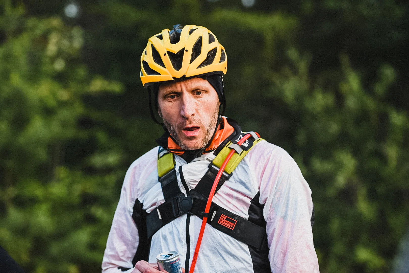
My friend Jeff Wass was on board with this from the start. He and I have ridden together a bit. Raced ultra mountain bike races at the same time. But he’d never done anything like this. This route was slated to take us around 30 hours best case scenario. He dragged his poor friend Jason Mygrant along for the ride. The race director, Todd, made a post a couple days before we went up that said, “Choose your partners wisely. They can make or break your race.” I was pretty sure Jeff would be OK, but I’d never met Jason before. But sure, why not?! Let’s do this!

Our goal was a 6am start from Ispheming which would meant starting as the sun was rising. This was done so that we minimized the night riding we would need to do. We headed out covered in bug spray, sunscreen, copious amounts of chamois cream, and smiles on our faces. The first part of the 225 was easy. It was a really nice mountain bike trail and then bike path (which in the UP means nice wide gravel paths) for the first 14 miles. Even though Jeff lost a bottle in the first ten miles, we were still smiling as we left Marquette. The sun was shining, it would be a glorious day.
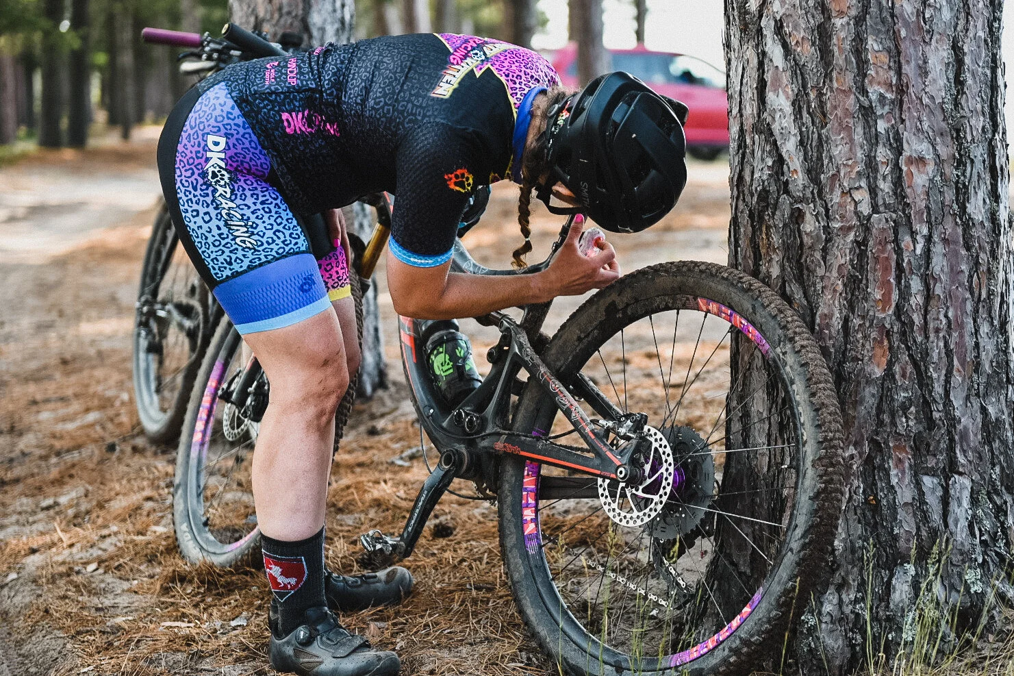
In order to be counted as a green dot for The Crusher (there are only green dots and red dots. There are no podiums or results, you either or or do not), you must turn in a Strava or GPX file proving you rode the route and you must also take photos at designated checkpoints. Todd will give you the checkpoints gps locations but they are sometimes wrong and it’s your responsibility to find them and take the selfie. Having been a red dot for the 225 last year and a green dot for the 100, I was prepared with the selfies. I used Ride with GPS to load the route, went in and entered the checkpoints as POI, and then made myself cue sheets that I taped to my handlebars with the checkpoint name and approximate mileage. We had zero difficulty finding any of the checkpoints all day. If you decide to do an event like this, make yourself a cue sheet. It’s key to making your day a little better!

This event is considered unsupported. There are no aid stations out there for you. However, you can arrange for your own SAG vehicle to meet you at various points and allow for a refill of water and food. The rules are, the SAG must be neutral support. So if any other rider is out there that day and asks your SAG for food or water, your SAG must help them. This was a no brainer for us. My husband ran SAG for me last year and he was game to do it again. He would never turn down a rider (or human or animal) in distress so the rules didn’t bother us at all. He said that over the course of the three days he was out on course, he gave out about 3 gallons of water, several cokes, and some bananas to folks he found out there.
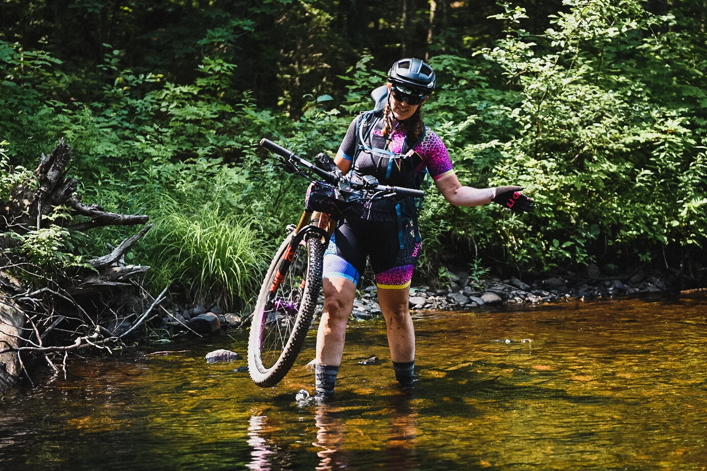
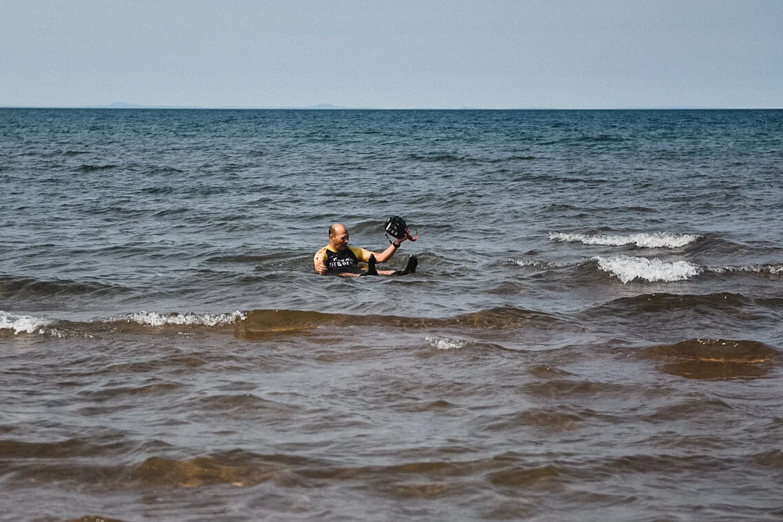
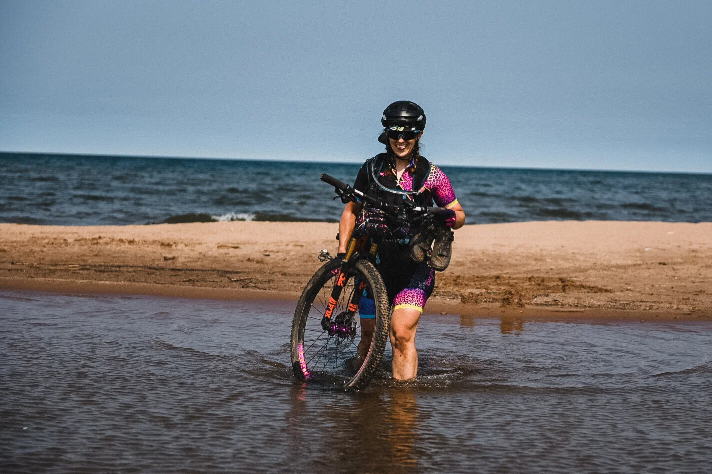
We breezed through almost the first half of the course. We found all our checkpoints, met up with our SAG at the right time and general enjoyed the day. Mosquito Gulch was approached backwards from last year and I greatly enjoyed it in this direction. I walked some things I thought I could ride because it was early in the day and I didn’t want to burn the matches. But I surfed down the super deep, fluffy sand gulley behind Jeff and Jason with a giant grin on my face. I was attacked by a Grouse somewhere out there on some random gravel road which was a new experience for me. Those little critters are vicious! But other than the attack grouse, Jeff continuing to lose water bottles, and Jeff’s Wahoo turning into a brick and no longer working, we were rolling smoothly. Until…we crossed the mouth of the Huron. This is one of my favorite checkpoints. You ride/hike through some gnarly sand but you get to cross the Huron River where it meets Lake Superior. The water feels so good there and it’s really a gorgeous spot to meet SAG, change your socks and get ready to head into the only town on the course, L’Anse.
Last year, after we left the Huron, it was 30 miles of slightly downhill pavement to get to L’Anse, and silly me didn’t check the route carefully enough to see that was no longer the case. This year, Todd decided to somehow make us climb all the way to L’Anse, despite it being at a lower elevation than the Huron. I’m not sure how he did that bit of sorcery but it was a rough 20 miles. Lots of rough, chewed up gravel and climbing as the sun was setting on us. We were not in the best of spirits when we rolled into L’Anse at 9pm. But a nice Subway sandwich, a kit change, and the addition of lights and warm clothes had us back on the road in fairly good spirits.
Riding at night is amazing for the soul. Especially out there where there’s literally no artificial light except your bike lights. It’s also where you start to startle at every rustle in the bushes beside you. You may literally fall asleep while riding and jolt awake as you grab and handful of brake that is about to send you over the bars. You may also hallucinate and yell at your riding partners to STOP because you’re about to go over a cliff, which in reality is just the reflection of your lights on an oddly shaped puddle. Or so I’ve heard. We had one checkpoint in the middle of the night. We had to climb the backside of Mt. Arvon, the highest point in Michigan. Last year, I got to ride DOWN the backside of Arvon and it was a blast! Going up? Not so much. It was a hike a bike all the way up. This is where we started to question the life choices that had brought us to this point. But we made it. Selfie at 1:30 in the morning and onward we went.

I don’t remember much between Arvon and the sun coming up. I know Jeff and Jason were worried about me. I know I fell asleep while moving. But I’ve ridden through the night enough to know that if I could just make it to sun rise, I’d be ok. Sunrise took us to a check point at Eagle Mine and SAG with Noah. We were feeling pretty tired but determined at this point. I don’t know if I’d say we were in great spirits, but after some coffee and more subway, we were ready to roll on. By this point, Jason’s Garmin had died and I was the only one left with a functioning GPS device. (HUGE thank you to Matt K. for letting me borrow his Garmin battery pack. It was a life saver and I will be purchasing my own).
After Eagle Mine, Todd decided that he would make us climb and climb and climb some more. We were tired and grumpy and DEFINITELY questioning our life choices at that point. I’m pretty sure we vowed to never ride another Crusher event ever again. We had one final checkpoint to make, Wildcat Canyon Creek, and of course it couldn’t be easy. I took two selfies here because the creek crosses the course twice? And I’m still not sure which one was correct.

One final SAG stop with Noah after a nice stretch of pavement and we were in the home stretch. We had 25 miles left. NBD right? Wrong. This was probably the worst stretch of the entire event. It was a false flat, out in the hot sun, sandy and messy. Everyone was grumpy. I was pretty sure I had lost a friend and potentially made enemies by dragging them on this course.
But the worst was yet to come. We ran into some nasty snowmobile trails that were flat out unrideable. We had to hike a bike again. The final section is about 2 miles of mountain bike trails at the end called Last Bluff. First problem, we can’t find the entrance to the trails. We’re standing at the top of a steep and nasty climb where the mountain bike trails should be and no trail. At this point, I pulled out my phone to call Todd and curse at him, Jason is standing staring blankly, and Jeff has decided to bushwhack his way onto the trails. We ended up finding the trails (thanks Jeff) and just missed a small portion of them. But we can’t ride them. Apparently Todd has decided to take us on them backwards. So we’re huffing and puffing up what is meant to be a downhill. 237 miles into a 225 mile ride.
About a year and a half ago, I shattered my ankle. Two plates and 13 pins. I had the plates and pins taken out in January and it’s been fairly smooth sailing since then. But at this point, my ankle has called uncle. It’s done. It’s screaming at me to stop. I can’t get my foot unclipped without using my hands to unclip it. We stop and look and find that my cleat has shifted and this is why I can’t clip out. Jeff stops to help me fix it just so we can get to the finish which we know is soooo close.
We hiked a lot and rode a little until we came out into what I’m sure was a tick infested deep grass field. Grass chest high, can’t see the trail under you. Ride through that and the final FUn surprise is yet another super steep snowmobile trail we have to hike up. But at the top? Pavement and about a half mile back to the car. We were pretty quiet at this point. We just wanted to get back to the car and call it a day. Our final tally was 240 miles and 32 hours of total time.

My plan had been to do the 40 (60) miler on Thursday and then the 100 (130) on Saturday. But the unexpected pain in my ankle had me unsure if I would be able to finish at all. After a shower, a nap, and food, I decided to do the 100 Saturday and push the 40 to either Sunday or a whole other trip. I spent the week resting, eating, and drinking lots and lots of water.