
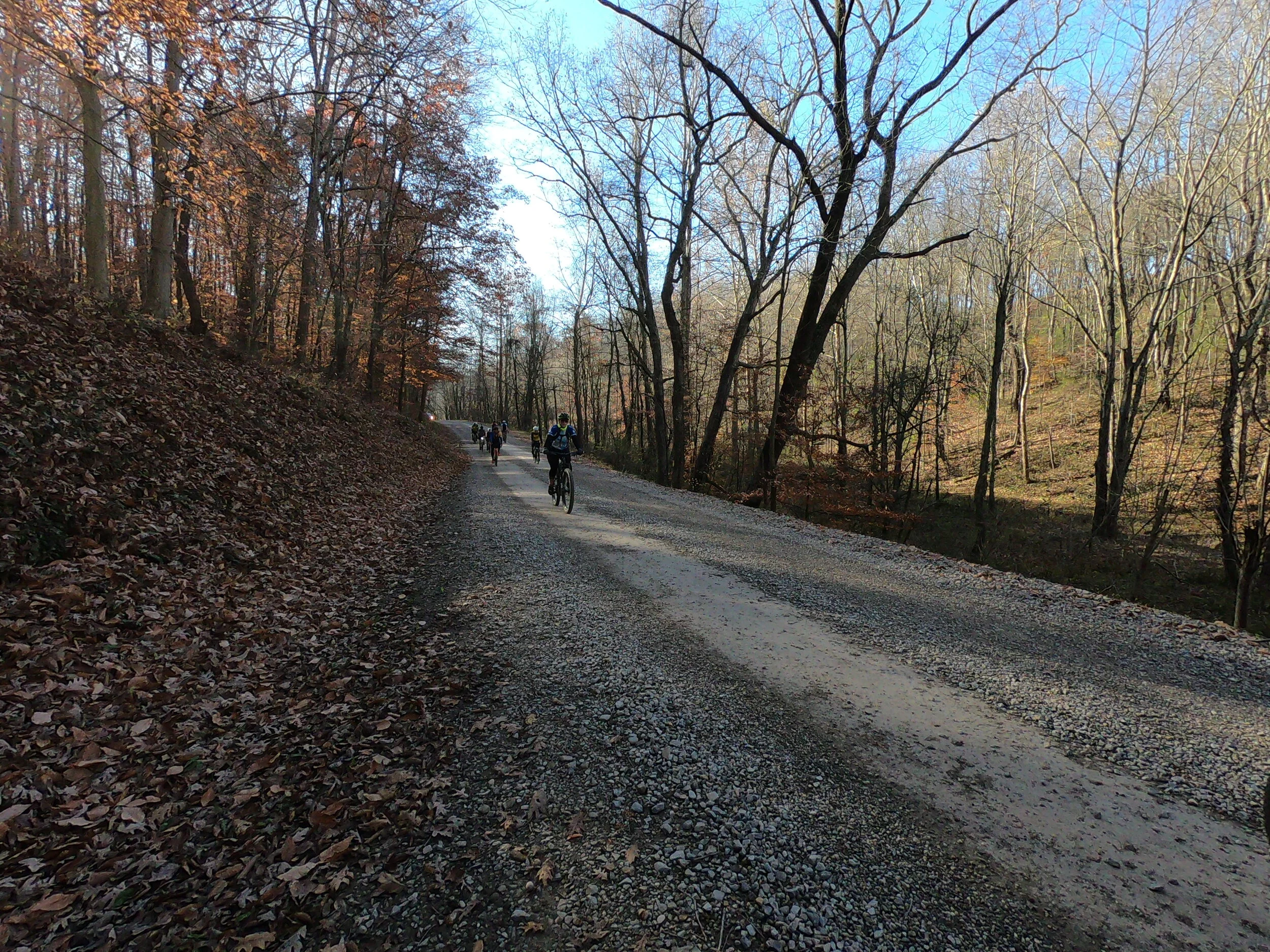
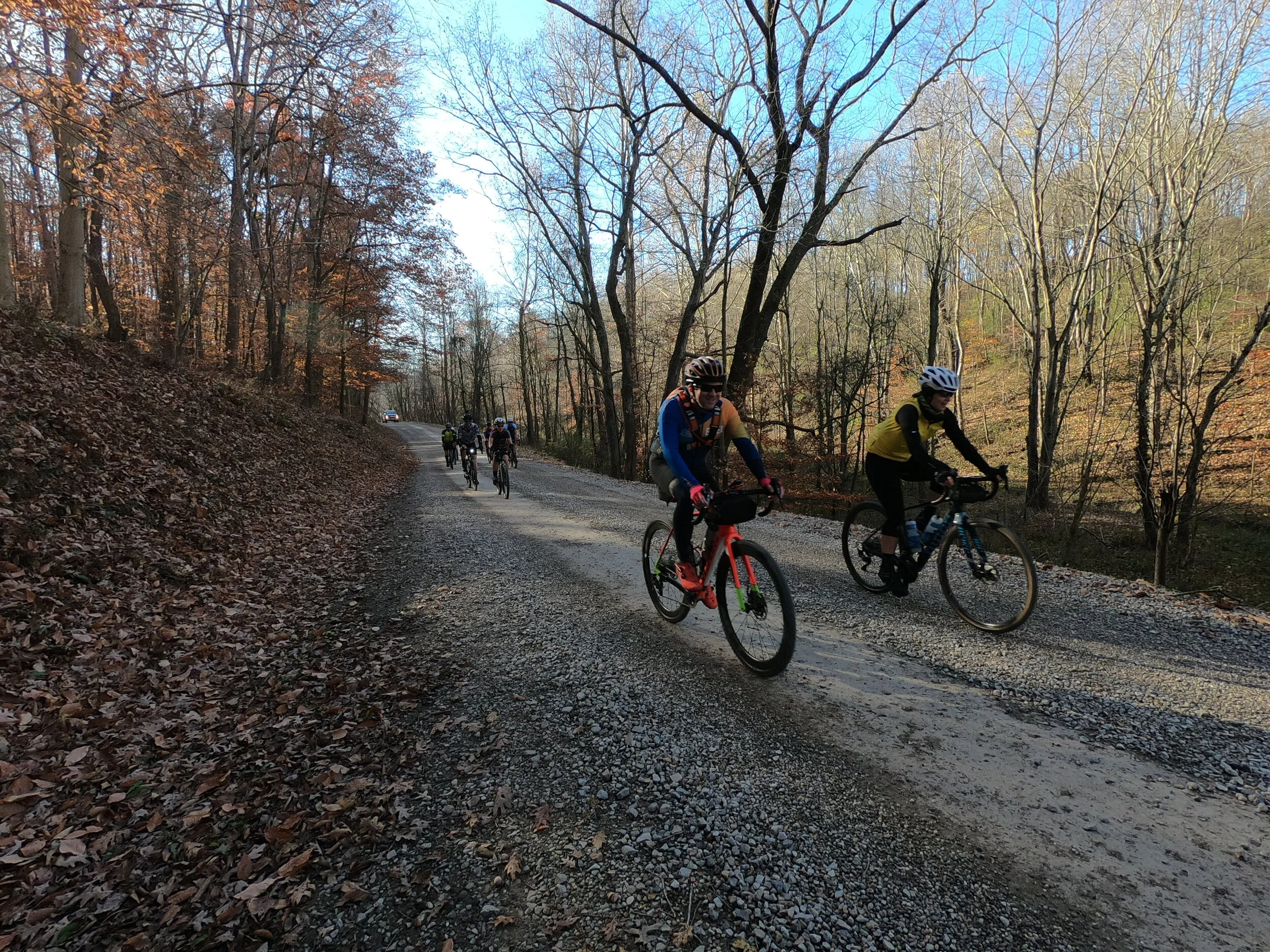
Recap: Post Boy Murder Route
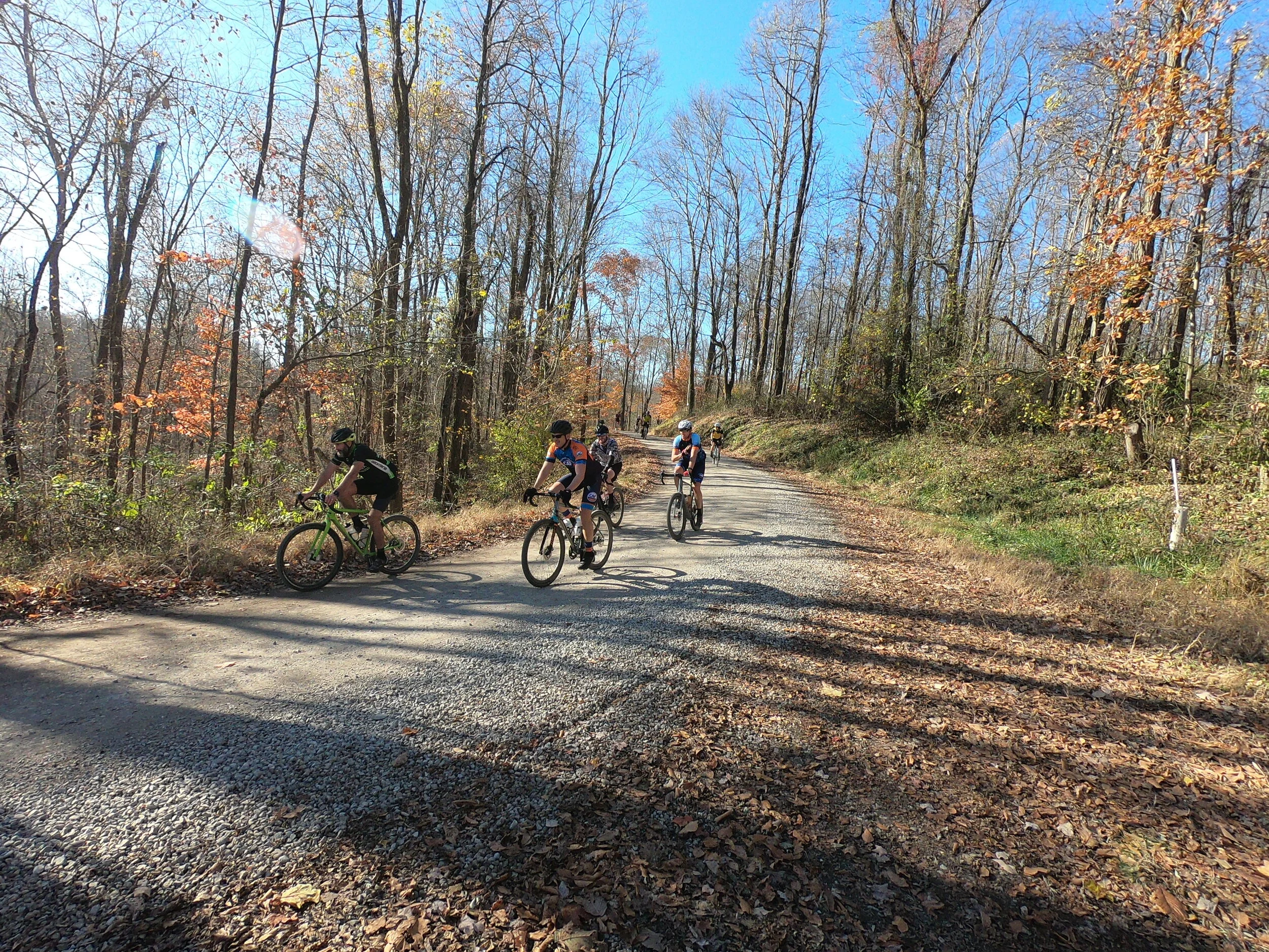
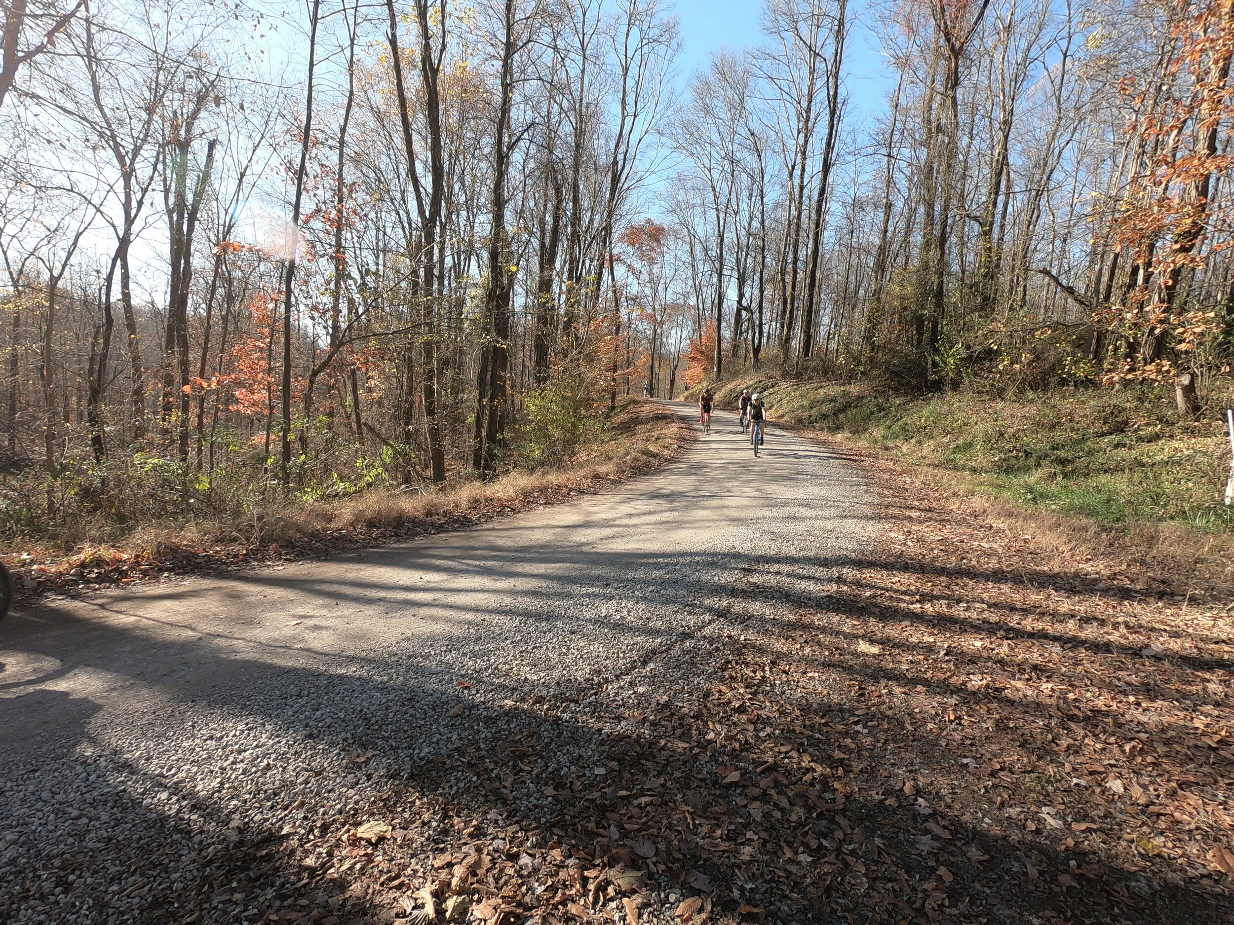
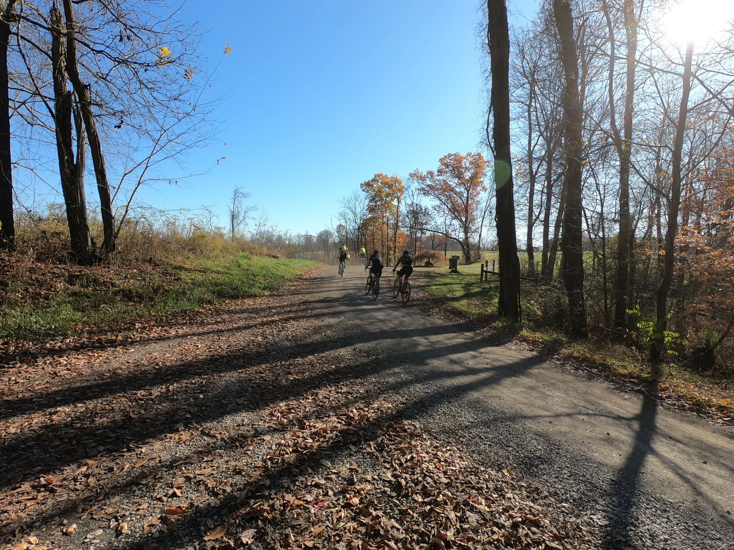
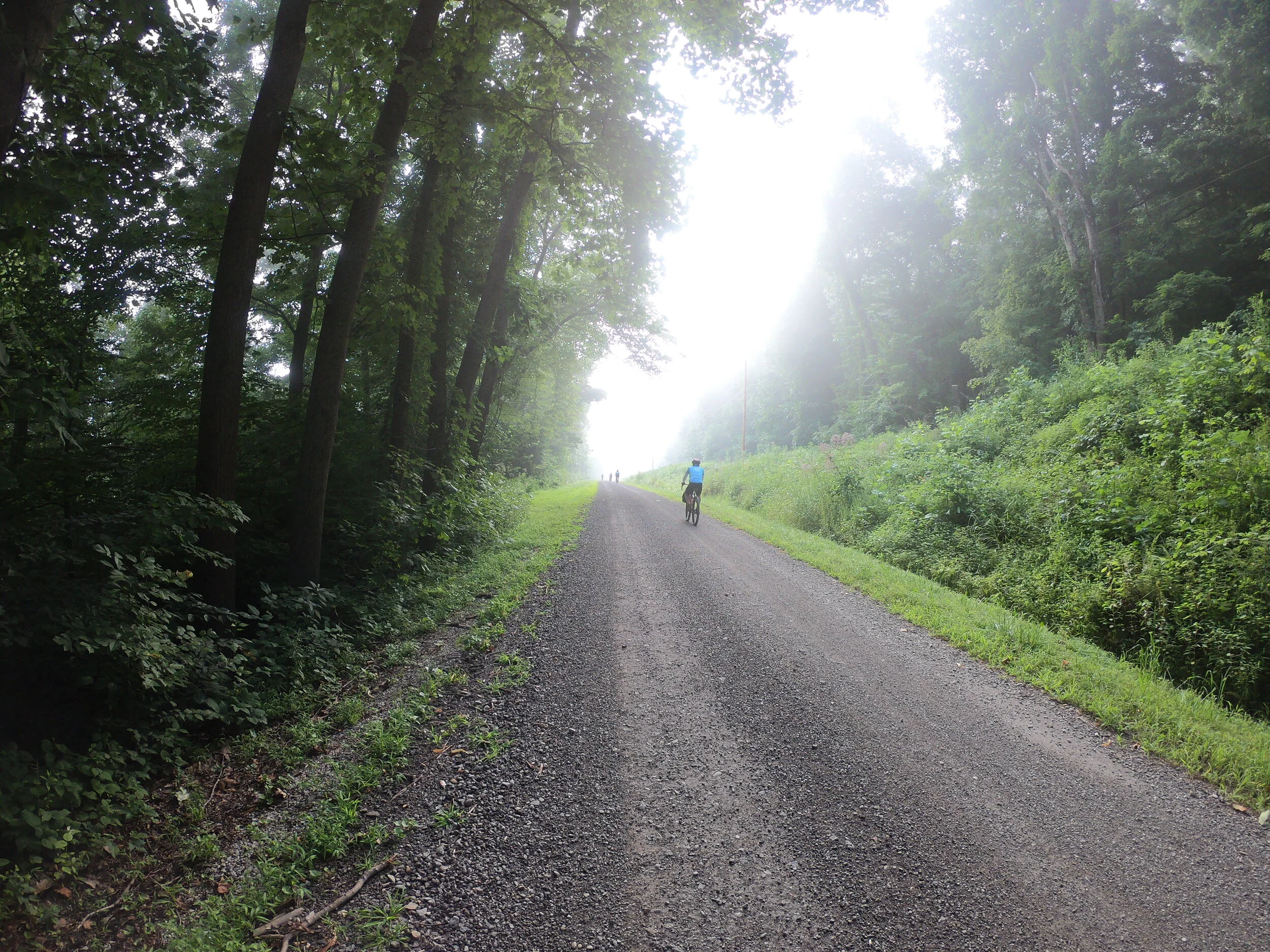
The Post Boy Murder route is one of the toughest gravel grinders in Ohio. It is a gross farce, an exaggeration of all that is Ohio Gravel. If God created the wondrous beauty and splendor that is gravel riding in Ohio, then this is what happens when Lucifer hacks God’s RWGPS account and inserts a soul crushing route. The Post Boy Murder route is 85 miles with at least 100 ft per mile of climbing (8500’ vertical) dishing up 70% gravel on the all-you-can-eat gravel buffet. And there is no hero gravel in here — every pebble is perfectly designed to get you to stop moving your bike forward. Mile for mile, it packs the most bite of any route of similar or slightly longer distance. The climbs are relentless, with hardly a flat spot on the whole route. But the ridiculous steepness of the climbs is what gives this route its most distinct character. Most of the climbs are walls in 15% to 20% range on loose slippery gravel that makes it hard to just keep moving forward without slipping out or grinding to a halt. It could easily be the type of ride where you spend more time pushing your bike uphill than riding it uphill. I have seen strong road riders who can hammer out a 5 hour group ride century fall over in the ditch on the side of the road, curl up into a fetal position and sob uncontrollably. If you love gravel riding, or if you think you might someday love gravel riding, then stay away from this ride. IF you finish, you may want to toss your bike in the river and swear off cycling forever.
As if this parody of gravel climbing wasn’t enough, three-quarters of the way through this route you have the choice for an enhanced gravel section. By enhanced gravel I mean ATV trail with mud puddles big enough to engulf a Wooly Mammoth. There are three sections of ATV trail with optional road by-passes for the first two sectors. The only thing this ride is lacking is the 150 lbs snarling Rottweiler-from-hell who hasn’t been fed in a week and whose owner sits happily on his porch rocking chair, smiling admirably while watching his Fido devour a lycra hot-pocket for brunch.
The route derives its name from an infamous murder that took place on the eastern-most edge of the map. In late fall of 1825, a 16 year-old boy named William Cartmell was hired by the postal service to deliver rural mail in the area south of Newcomerstown. He was overtaken and brutally slain by John Funston, who had mistaken Cartmell for another courier that was supposed to be carrying a large cash amount. After a crazy manhunt and lineup that defies logic (all males in the county stand in a line and have the witness pick you out), Funston was captured and quickly convicted. On a cold sleety day on December 30, 1825 Funston was hanged near the county courthouse in West New Philadelphia OH. Post Boy Rd runs right by the sight of the tragic shooting. See this account in the Newcomerstown newspaper for more details.
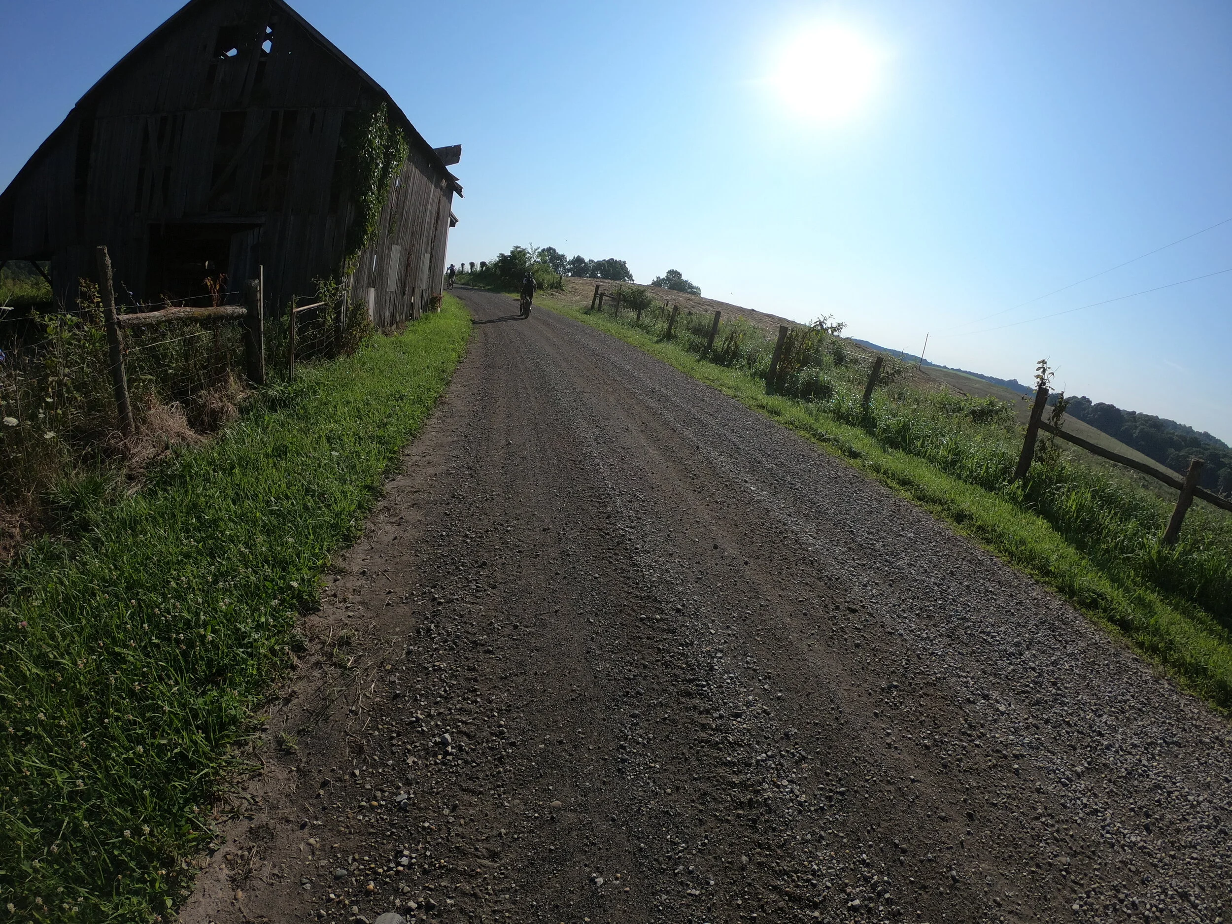
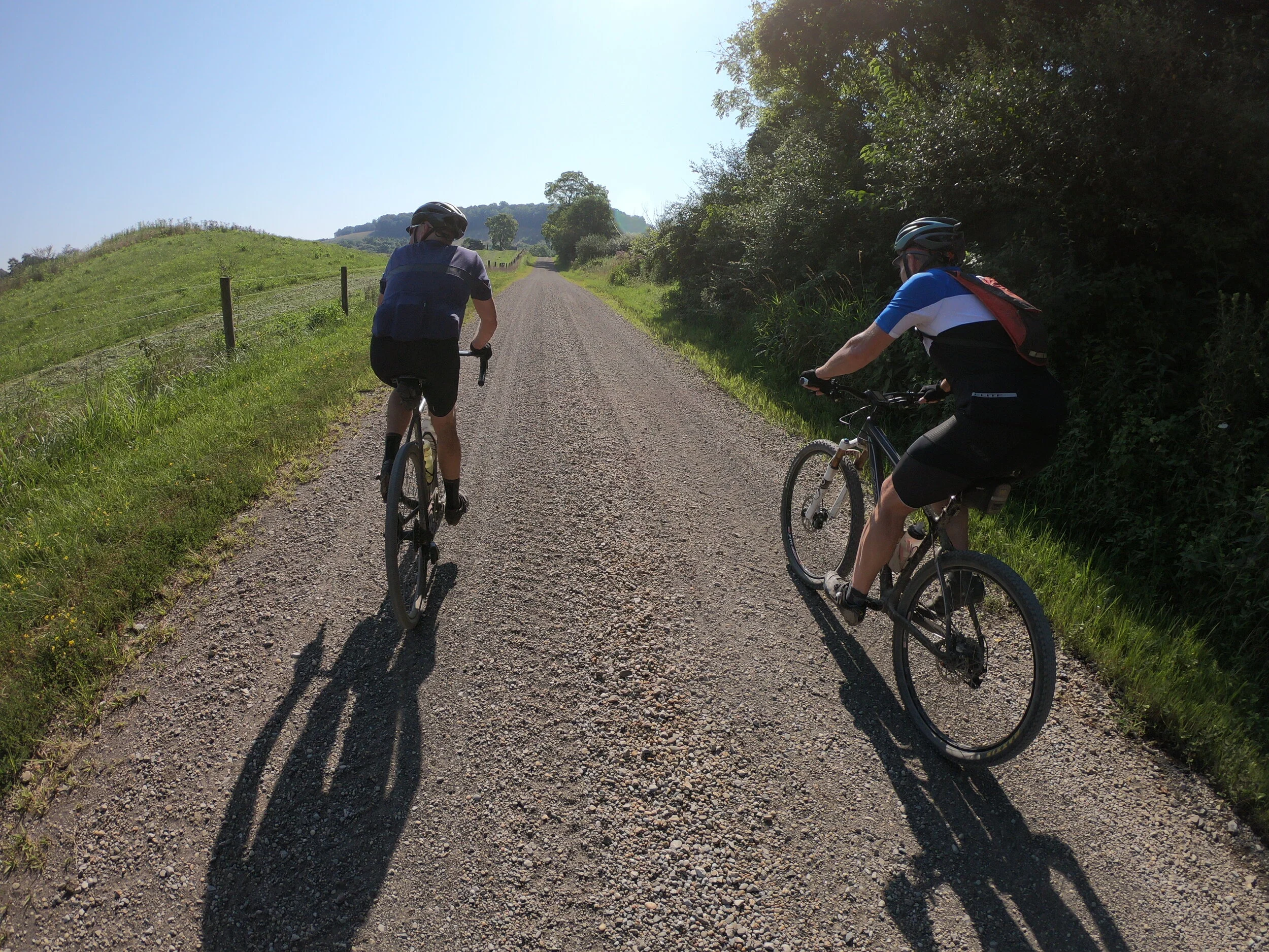
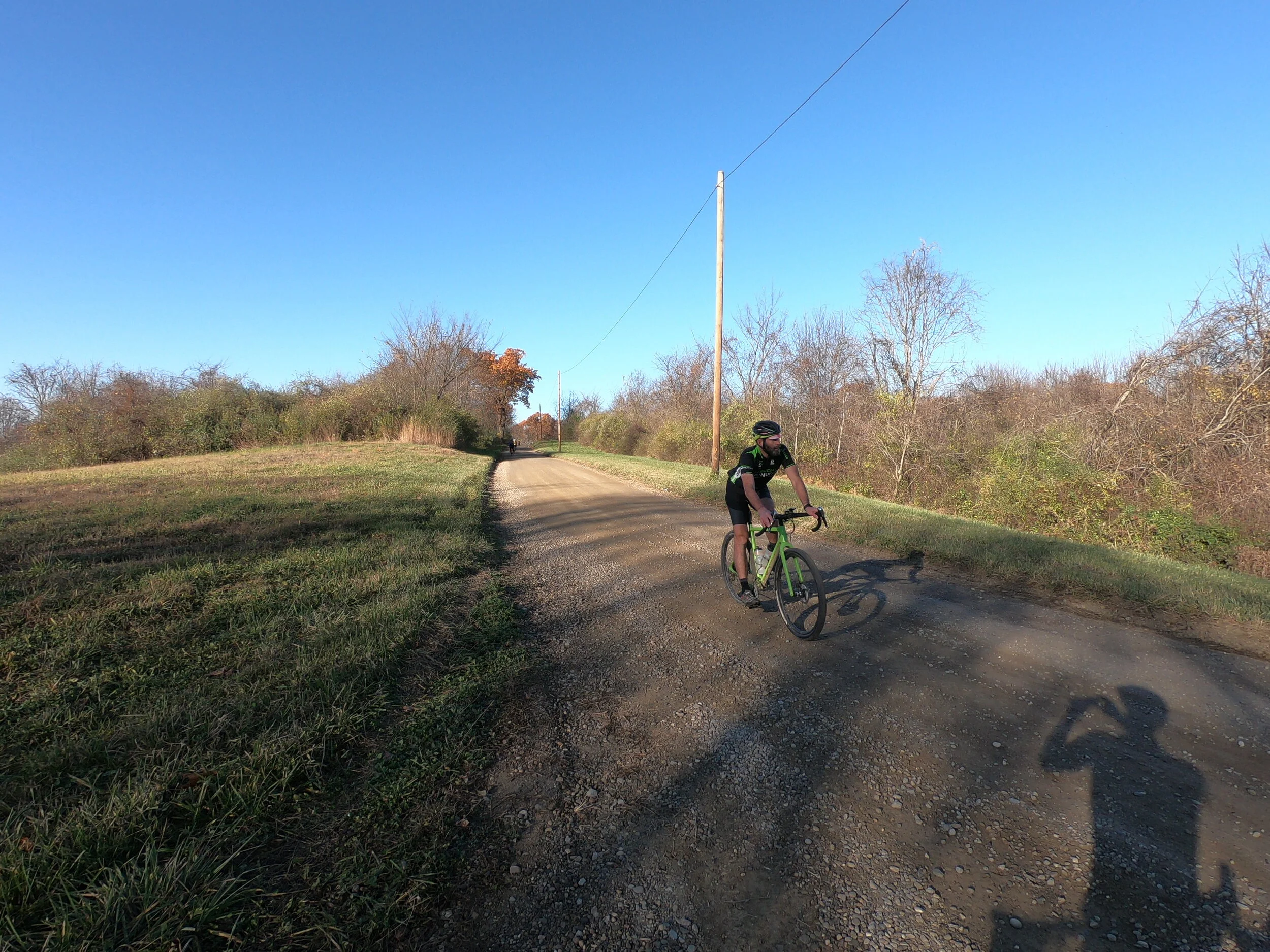
The route covers three distinct geographic areas. The western most portion rolls through the hills just outside of Dresden. This is mostly reclaimed coal mining land and bears a resemblance to AEP lands. The Wills Creek basin characterizes the middle portion. The eastern-most portion samples the steep climbs south of Newcomerstown. Since this route’s inception, several other OGG routes of shorter distance have been created to explore areas in these three regions using mostly the same roads. See Tri Vly Gravel v2, Wills Creek 39 GG, Wills Creek 37 GG, Birds Run Gravel and Newcomerstown 35. These are all reasonable alternatives to the full Post Boy insanity. The route also is characterized by several small gravel lanes, not much more than a single-car wide that wind, rise and fall through some nice rural scenery.
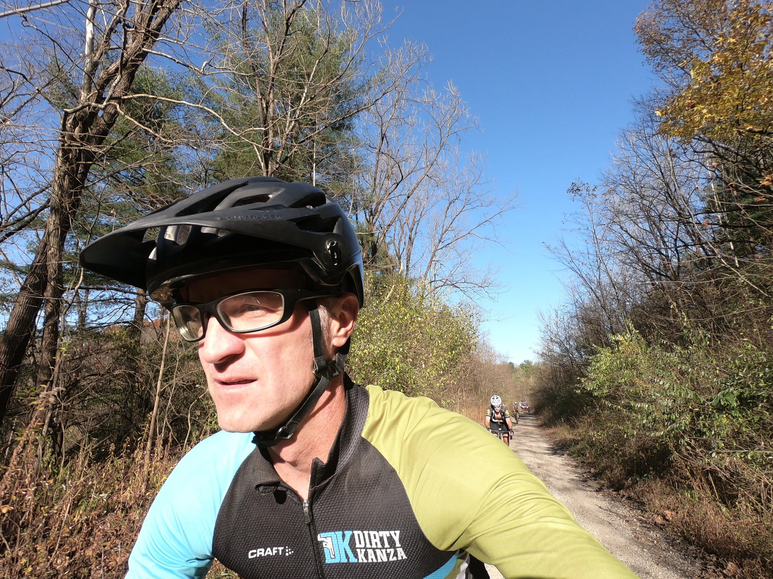
This particular traversal takes place on Easter Sunday. We start later than normal to allow time for families and worship, so we’ll be pressed to finish our work before the sun calls it quits. Six victims show up for today’s ride. I’ll change names to protect the innocent from ridicule and mockery. Today there is a new fish in the group. We’ll call him “Jo Jo”. The reasonable first action with any new person is to check out their bike — yup uber carbon wonder rocket straight out of the team-issue factory racing sponsor. Yup, legs of steel and thighs that look ominously thick. Yup, -0.1% body fat. Yup, 15 to 20 years more youthful (and likely smarter) than the rest of us. I optimistically announce that I am going to sit on Jo Jo’s wheel all day, which, on a route like this, makes as much sense as a winter parka on the 4th of July. But I was wrong. I saw Jo Jo’s wheel in the parking lot and then never again. He rode away from us on the first climb. One of our group was foolish enough to go with him; the rest of us never saw the pair again. For all I know they could still be out there, riding up and down all those hills in some continuous loop.
One of our regulars, we’ll call him Stevo, had a bad day. It happens to all of us, rough days where we just can’t find any energy to turn the cranks. The Post Boy route is a particularly unfortunate time to choose to have a bad day. Part of the bad day is Stevo’s fault. He decides (1) that breakfast consists of a cup of coffee that has exactly 1 calorie. (2) He has put a 11-23 cassette onto his bike. He has a perfectly good 11-42 at home, but just decided not to spend the five minutes to install it. Never mind that every single climb is above 15% — I guess he assumed that he could grind his 42x23 uphill all day long. And (3) he shows up two hours early to get in 30 extra bonus miles chasing Jo Jo (see legs-of-steel reference above) BEFORE our regular ride starts. So he is already cooked well done by the time the rest of us start the ride. And finally (4) Stevo has a freak crash on one of the first descents of the day. His front tire washes out in a loose corner right in front of me. I can see him tumble in slow-mo. Being on a slope, he continues tumbling for quite some ways down the hill. I stand there helpless, like a group of penguins perched on the edge of an iceberg watching one of our brethren get swallowed up by an orca after jumping in. Nothing really that we can do except take a moment of silence and secretly be thankful that we still have most of our blood still inside our bodies. This last one isn’t his fault, but it doesn’t help to garner strike 4 at the start of a beast of a ride like this. By late afternoon and mile 45 (for me, 75 for him) he is cooked, putting out less power than a frozen windmill in Texas. On a day like this (Easter) I am hoping for a resurrection at the food stop in Newcomerstown, but it never comes for Stevo and he finally opts for a car ride home a few miles into the back half.
I put in a solo TT effort for the last 35 miles. I had a good-legs day and so I was happy to have the chance to press hard on the pedals. At one point there are two hideous climbs in quick succession. My fancy GPS tells me they are one big climb — I feel cheated by my GPS and so I peck hopelessly at the screen, prodding my super-computer to change it’s mind and officially recognize both climbs. I give my middle finger salute to the route that is trying to destroy me.

Route Details:
The route begins in the parking lot of the Tri Valley High School just outside of Dresden. The Dresden PD patrols this lot several times per day, so expect company and give a friendly wave. There are no facilities in the parking lot, so hit up McDonald’s on the way into town for a restroom break. If you try to pee in the bushes near the parking lot, Dresden PD will pick that exact time to roll by and spot you. On the bike, head east across the big bridge and bend left on SR 208. The first paved climb starts almost immediately.
Just before 2 mile mark head left up Stone Church Rd. It is a tough climb topping out at 18% on a loose surface, and a harbinger of what you’ll face all day long. You’ll drop quickly back down to the river on Stillwell Hill Rd and then climb back up to Stone Church on top of the ridge. Expect more climbing to come. A lot more climbing. The route heads down into the valley for a brief respite before bending left and climbing up Titus Rd. This is a pretty narrow lane (becoming Foster and then Pear Orchard) before rejoining Stone Church once again. You’ll have a long gradual paved descent that takes you down to Wills Creek area.
You’ll head along Wills Creek (more like a reservoir) and connect up with Ferncliff for some non-descript regular hard climbing gravel roads. You’ll bend onto this cute lane called Brush Run (don’t miss the turn) and then ascend a tough gravel wall closing in near 20% grade. You’ll head through the little village of Otsego (no services) and then you’ll prepare for the hardest few miles of gravel. The climb on Waters Lane starts very innocently with a long stretch of 2%-5%, but then it bends around the corner and shoots up at a ridiculous 18% wall. You’ll rip down into this lovely shaded holler (it is a fast and sketchy downhill) and then almost immediately face another 19% wall as you climb back out.
You’ll have a fairly long gently rolling stretch on Little Indian Rd for about 8 miles. You’ll climb again on Rd Brush Rd which feels refreshingly easy at a mostly 10% grade. Then traverse the top of the ridge on some flattish gravel sectors. To give the legs another test, you’ll turn left onto Weber and scramble up another steep gravel road of questionable surfacing before dropping down into the modest hamlet of Kimbolton (again, no services). At Kimbolton you’ll wish you could refill your bottles but you still have another 12 miles to go (if you must, you can venture a few miles out-and-back to on SR 541 to a C-store which is located just before the junction with I77. In Kimbolton head straight north along a tiny paved lane till you find the abandoned bridge. Cross the bridge and scramble up the grassy hillside on the other bank.
Immediately you’ll climb Plum Rd (named the Wild Chicken Climb because there are always chickens strutting about the top of the climb). It is a tough climb, you think you are done, but then there is a last 22% gravel switch back at the very top that will just about push most riders off their bikes. There is an abandoned railway tunnel that runs under this hilll, just West of the climb and descent of Plum. Apparently the tunnel entrance on the south end (nearest Kimbolton) is on private property but the north end is accessible with a brief hike. As you descend off Plum keep an eye to the left in the woods and see if you can spot the abandoned railway right-of-way carved into the hillside. You will not be able to ride your bike to the tunnel entrance; expect some hiking and bushwacking.
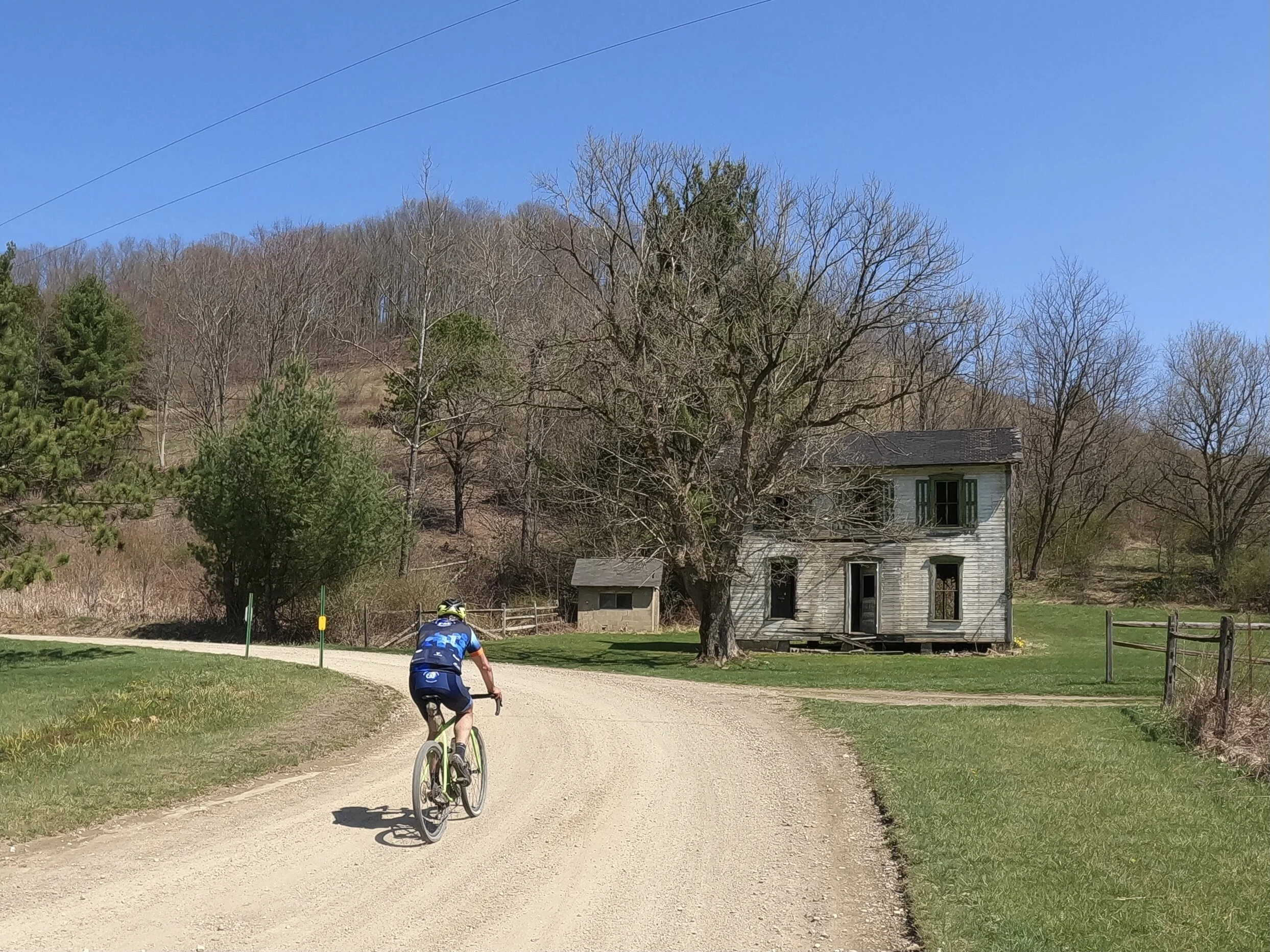
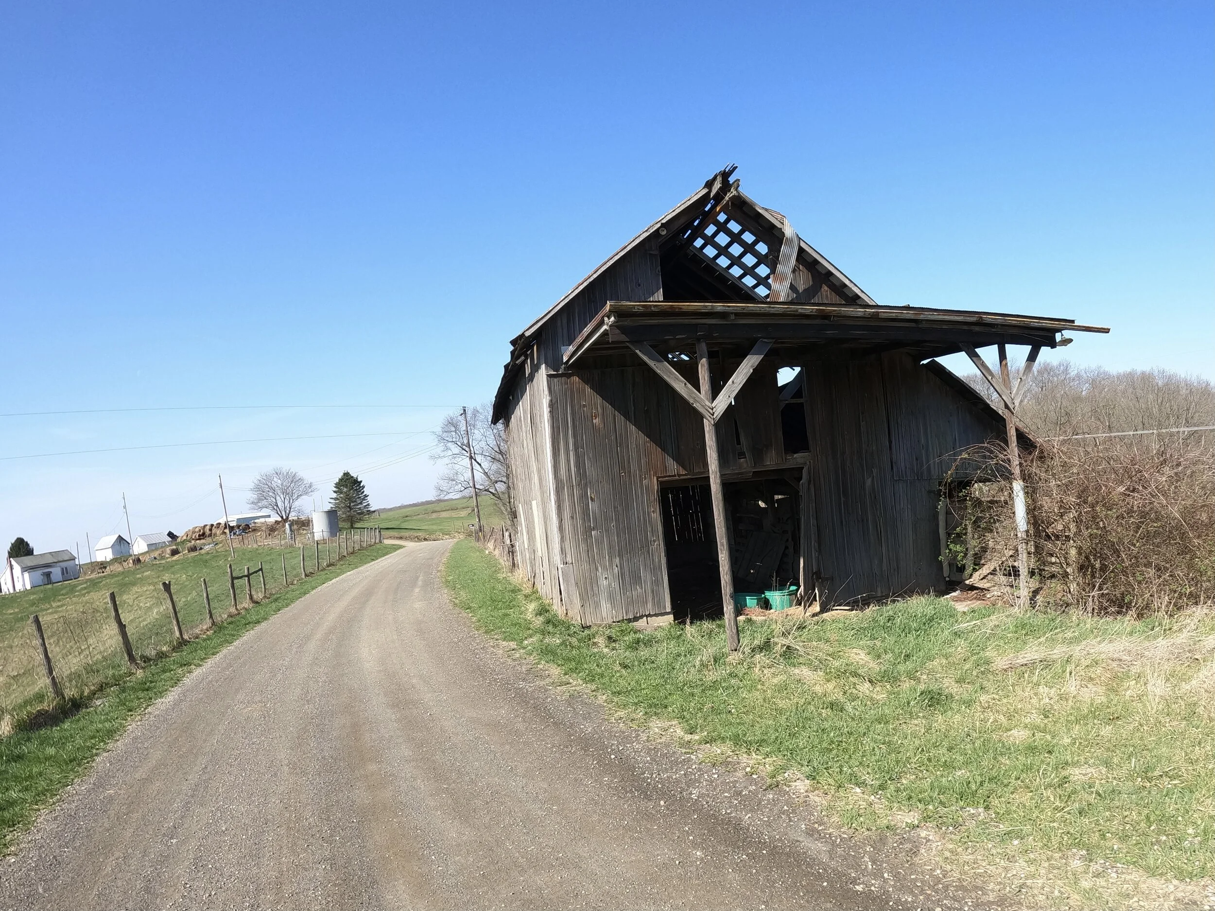
As Plum continues north, you’ll face another steep gravel climb before finding the eastern-most edge of the route. You’ll be close enough on this ridge to hear the traffic of I77 just a couple of hundred yards away. Drop down the screaming descent of Church Hill Rd and rejoin pavement. Spit off on the gravel lane of Tuscarawas Rd and skim along the valley for a few miles. There is a cool abandoned house near the start of this segment. You’ll pop north onto Post Boy Rd. Just across the road is a creek and abandoned railway right-of-way. This is the site of the Post Boy Murder from nearly 200 years ago. It is hard to imagine what this place must have looked like back then.
You’ll scamper up the 20% grade of Post Boy Rd climb. Thankfully it is paved and you can finally stand up and mash the pedals and stretch the legs. You’ll hit top speeds coming off this paved ridge and drop down by the river. Cross the bridge and head into Newcomerstown for a resupply. There is a Dari-Hut kind of thing (that serves burgers and fries) and also a couple of gas station convenient stores. There are still 40 miles of hard riding left, so fuel up.
Leaving Newcomerstown you’ll follow the valley for two miles before facing the long paved climb back up the ridge. Don’t miss the switch-back style turn right at the top to continue climbing up. Roll up and down on top of the ridge along Township 256. You’ll turn left and head up a very wide gravel highway climb before turning right and continuing on Shamrock Ridge rd, following the top of the ridge. You’ll finally drop back down into the valley.
The next segment is the flattest part of the whole route, with about 3-4 miles of almost flat paved roadway. There is usually a headwind and our group will tuck in behind a cyclist who will push hard into the wind. You’ll split off and follow Twp 158. It will start with a very gentle climb that gets steeper and steeper before ramping up hard at the very end. When you drop down you’ll come to a stop sign.
Directly across the stop sign is an ATV trail area. Here you will face a choice — add in three ATV segments and more adventure or take the road by-pass which skips one or possibly two of the atv segments. There are three sectors of atv trail. The first two are full of mud puddles. They are navigable on bike, but expect to get a little wet and a bit muddy. Not horrible lose-your-shoes kind of muddy, but still, muddy. The first sector might actually be private property, so see if there is a gate/sign. At this stop sign, if you wish, you can turn right (west) here and take the road alternate detour. This is the way the GPS map takes you. Climb up Twp 159 to reach SR 541 for a long paved descent down into the valley. At the bottom of SR541, the route maps you right onto Twp 123, a small gravel road. Instead you can continue another 100 yards on SR541 and take the second segment of ATV trail to the right. Again, expect puddles. Follow Twp 123 for a mile or so and then you’ll reconnect with the atv trail crossing this road. Turn right (south) onto sector 3 of atv trail. This is more like a road and it does not have mud or puddles. The GPS route takes you on this third segment without any bypass options; it is short with a moderate climb to the top.
After a few short paved lumps, you’ll turn onto gravel Twp 142/141 and mostly descend back down to Wills Creek area. The next 6 miles are rolling to flat, a mix of pavement and gravel. They always seem to cause me to burn some matches because the gravel feels heavy and I have to put down constant power to keep the speed up (unlike the on/off nature of climbing). You’ll cross SR83 and eventually come out onto the dam.
Soon after the dam is the hardest climb of the day. Reiker Hill Rd begins with a few miles of gradual, fast-paced ascent. Then you turn the corner and face a gravel wall from hell. The segment is consistently 14%-16% with two stretches that border on 20%. It is just brutal the whole way without a break. Don’t look up because you won’t be able to see the top and all you see is relentless 16% gravel. The last little bit up to the top is just horrible at 20%. Again, depending on the surface, this can be a hard climb to just keep moving without coming to a halt. At this point in the ride, you will definitely question your will to live. And once at the top, you are not done. At the paved intersection, you’ll turn right and see another 20% ramp right in front of you. Fortunately it is paved and shorter.
I love the last 12 miles of the route. It has less steep climbs that allow you to find a reasonable rhythm. And after Reiker Hill, you know you are closing in on the end and feel like you don’t need to hold much back. The last 12 miles are climby, but not the long sustained steep climbs of before. You’ll have a great lane on Yeary and then Hogue, small country lanes with cute hills and farms. Drop back down into the valley disected by Stone Church Rd (you’ll recognize this from earlier in the day) and push along a false flat on gravel for a few miles. Cross SR208 and scramble up Steel Hill Rd and then follow the ups-and-downs of the ridgeline. You’ll come back off the hillside on Madison Hall Rd, follow 208 briefly before splitting off on the best lane yet, North Branch Rd. Narrow, rolling and fun, this lane will bend back around, connect with Copeland Woods, and take you on the final ascent of the day (which has a bonus climb at the top). Drop off Copeland Woods to connect with SR666. You have an easy paved mile back to the car at Tri Valley HS. Swear off cycling forever.