Recap: Wills Creek 39 Explorer
Quick stats
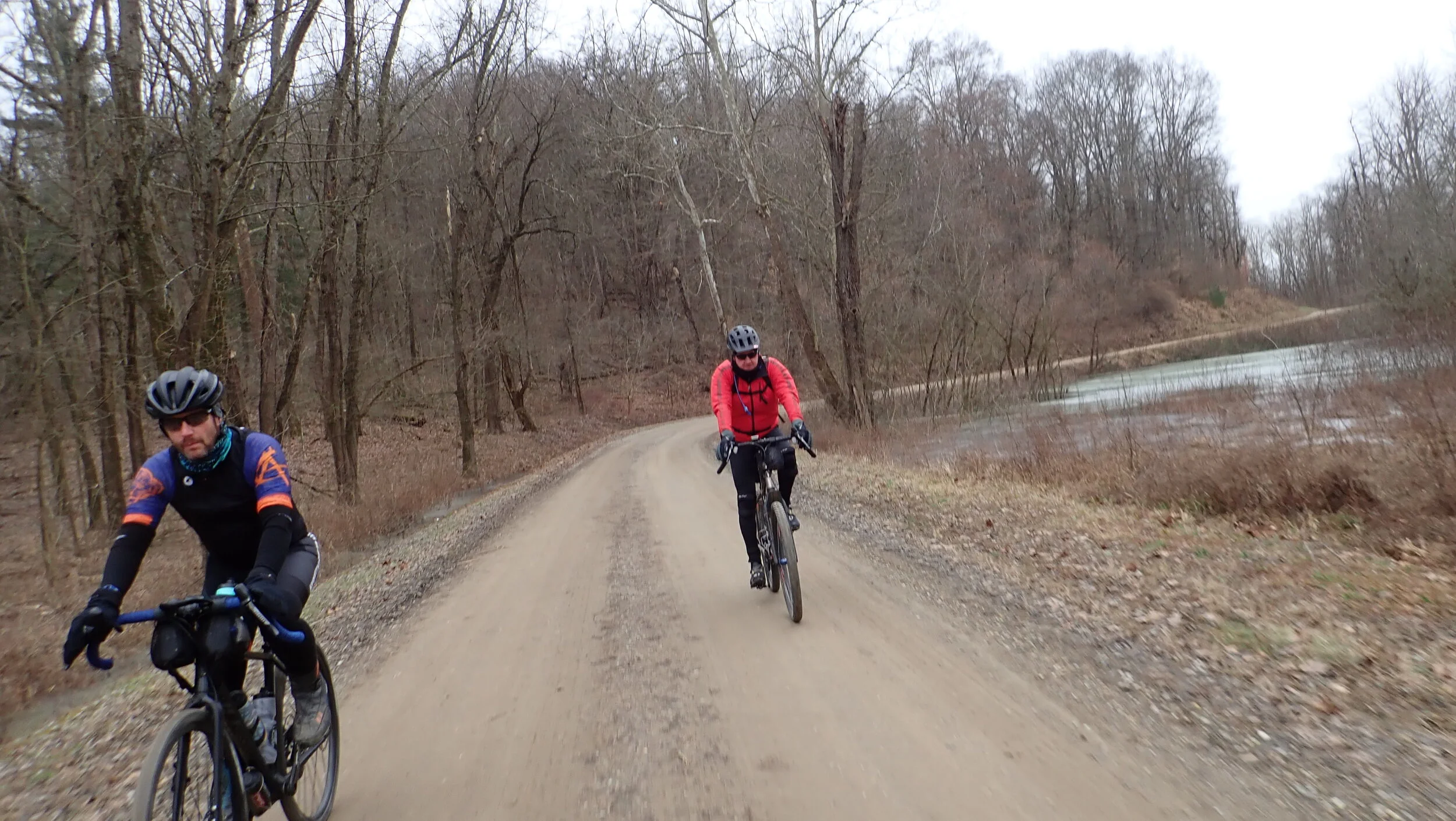
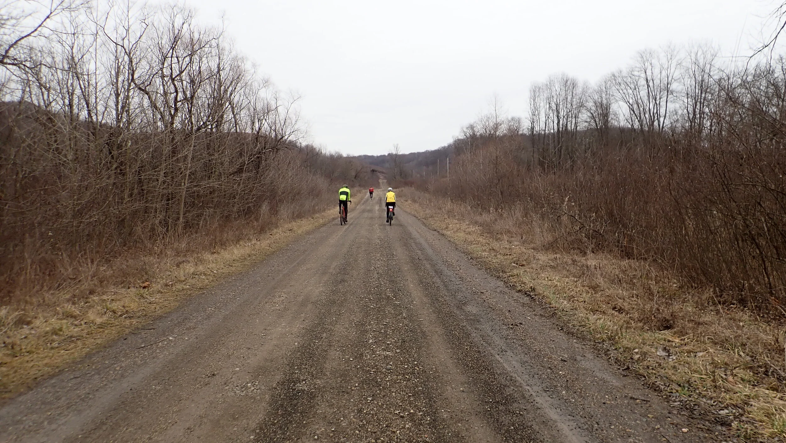
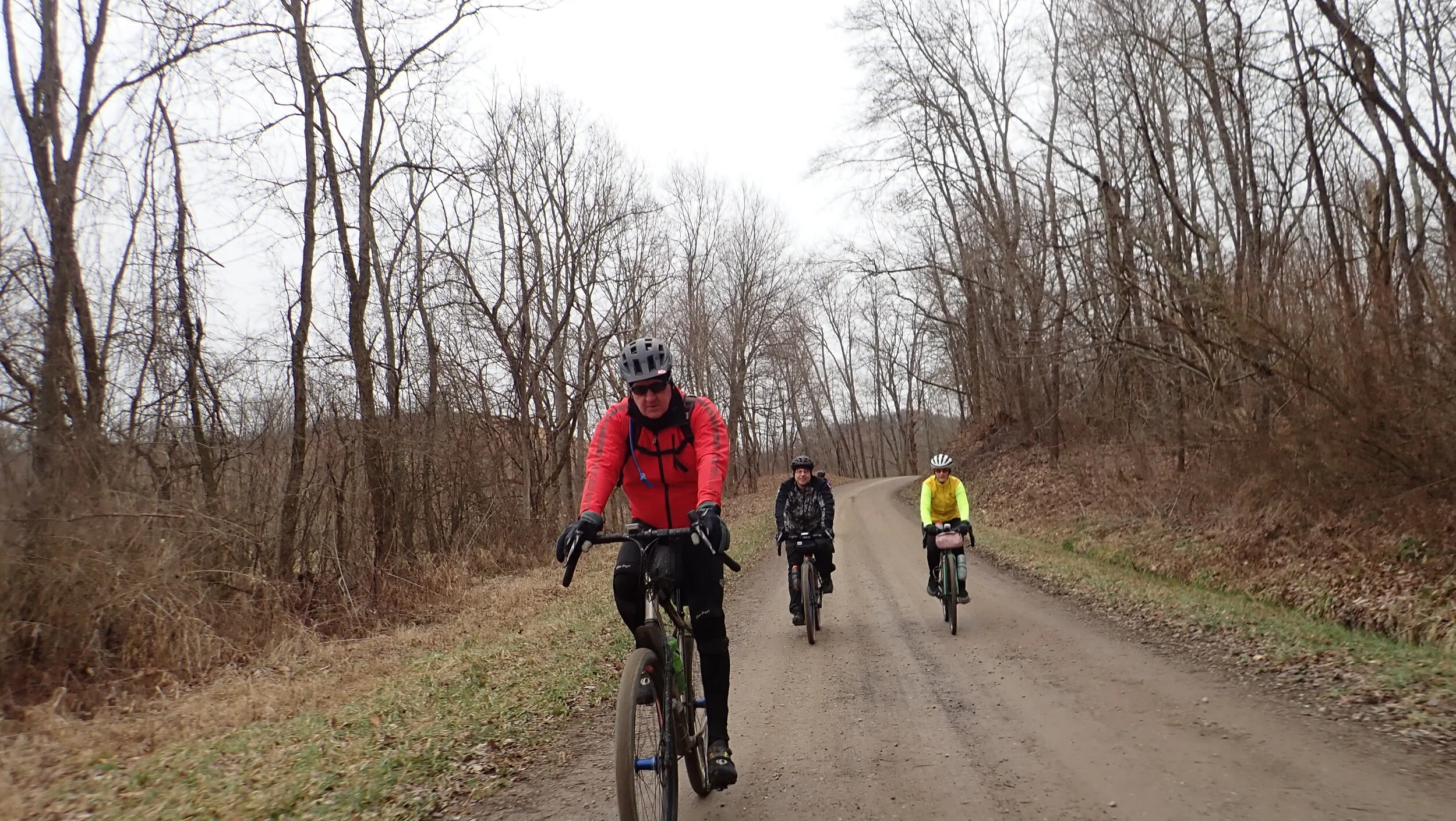
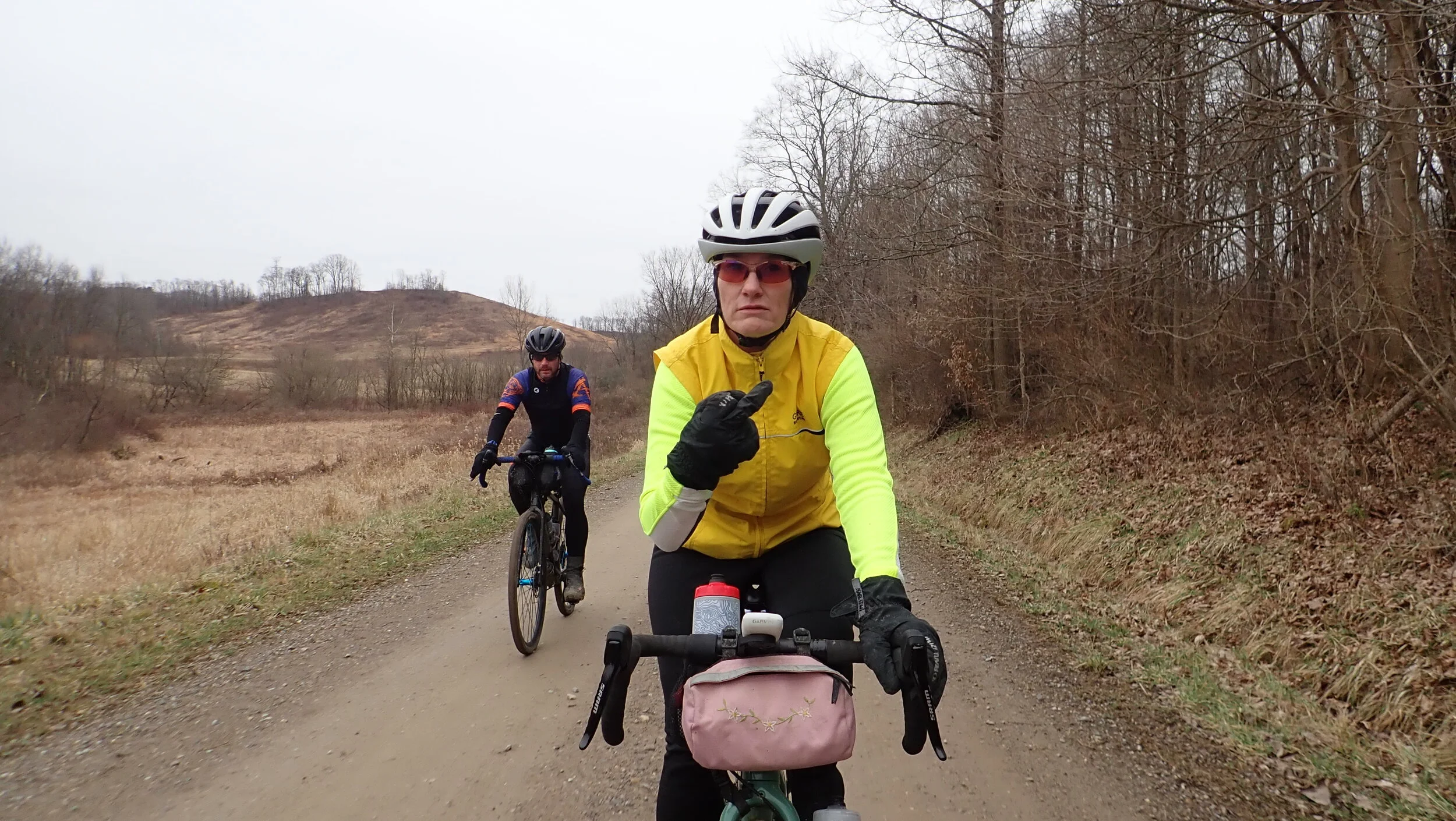
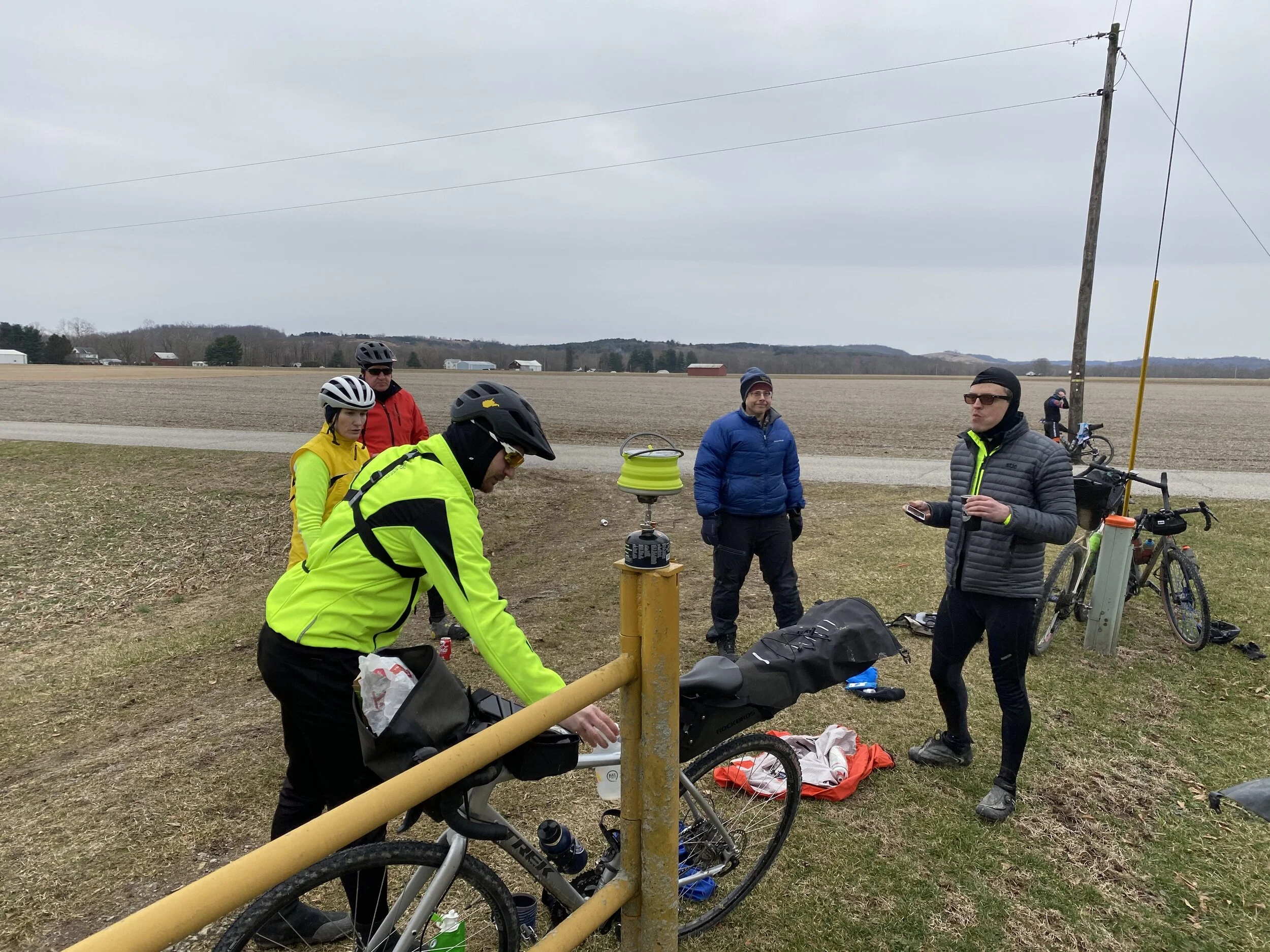
7 cyclists
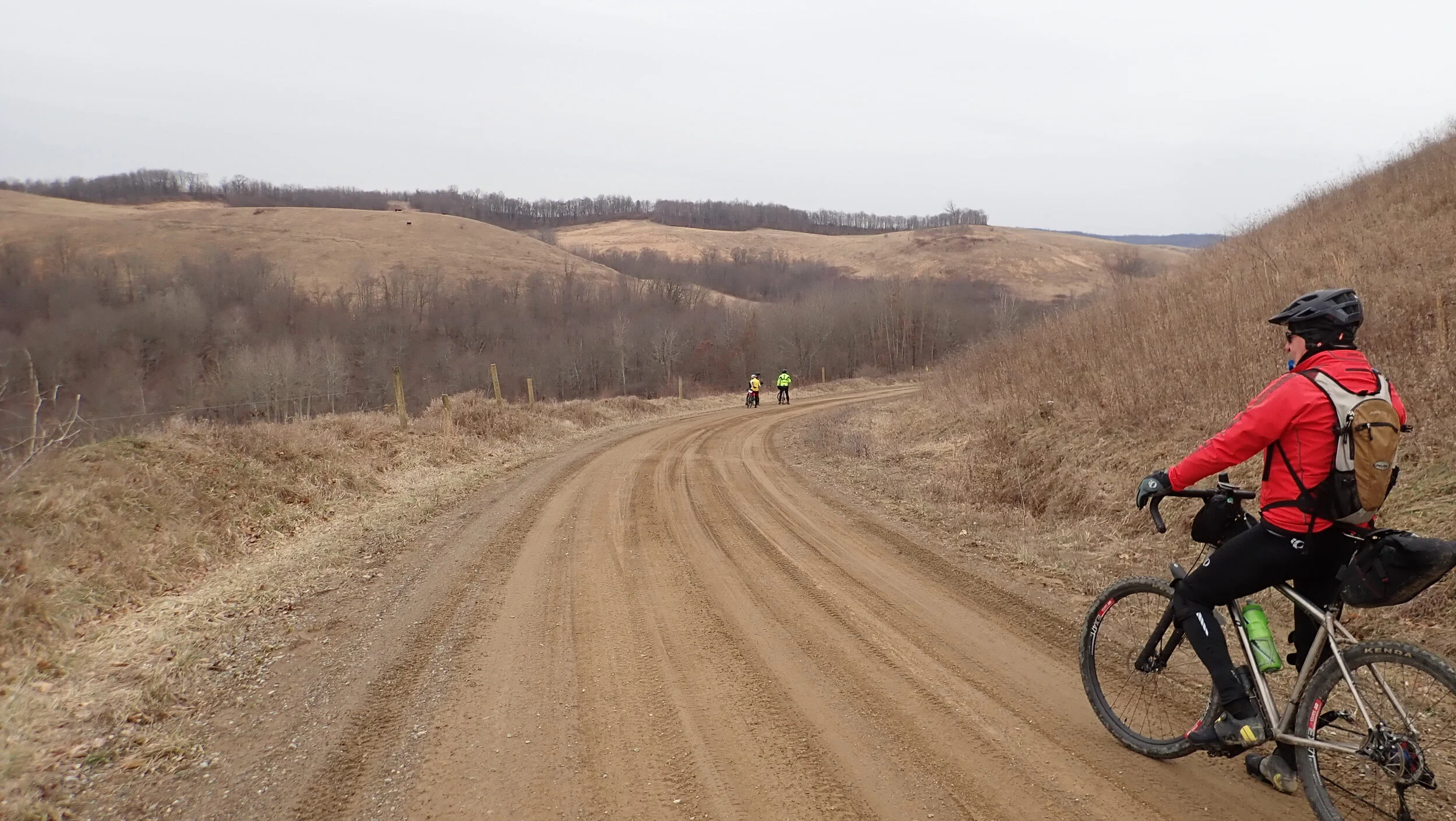
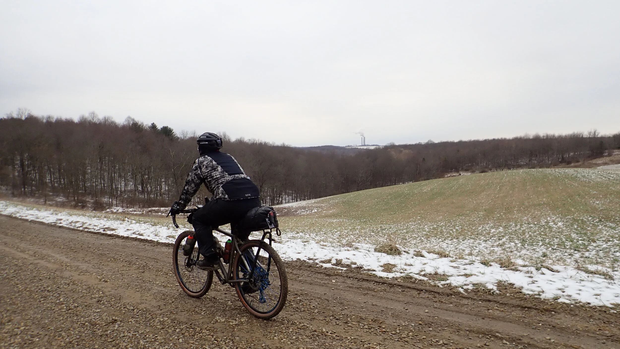
43.5 miles / 3500 ft climbing
Low 30’s to low 40’s
Overcast for whole ride
Detour from original route
Closed but passable road
Coffee outside
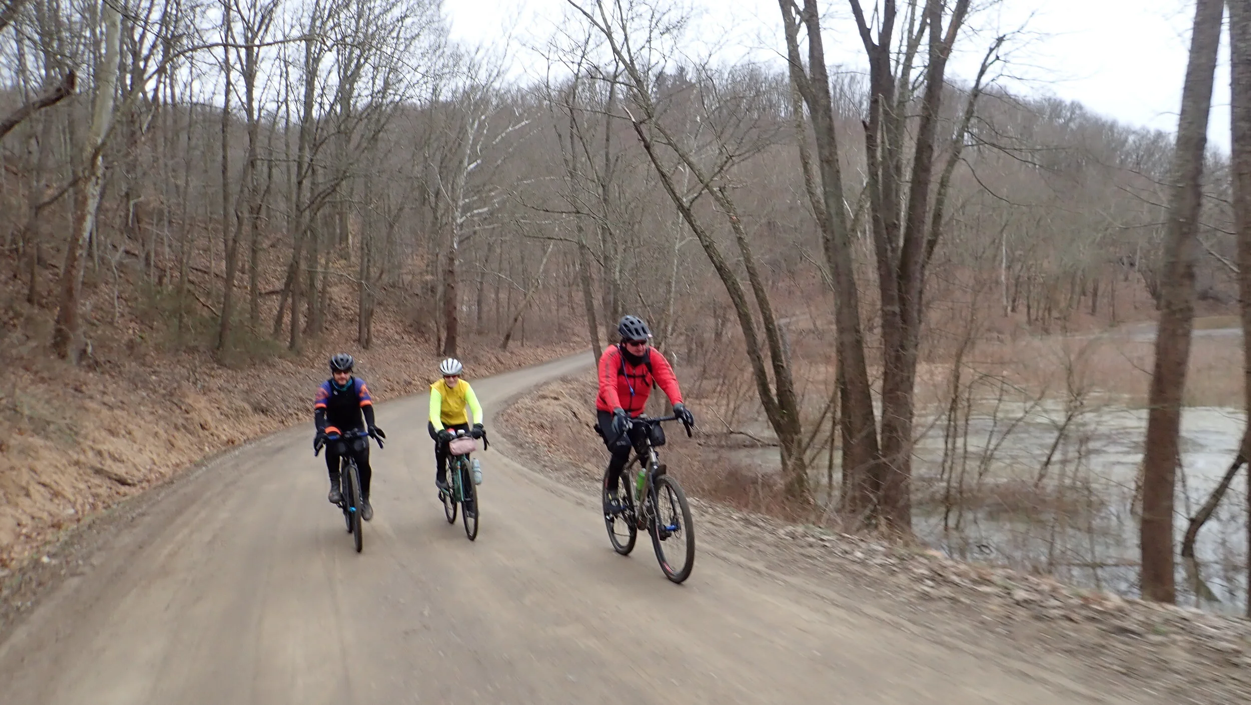
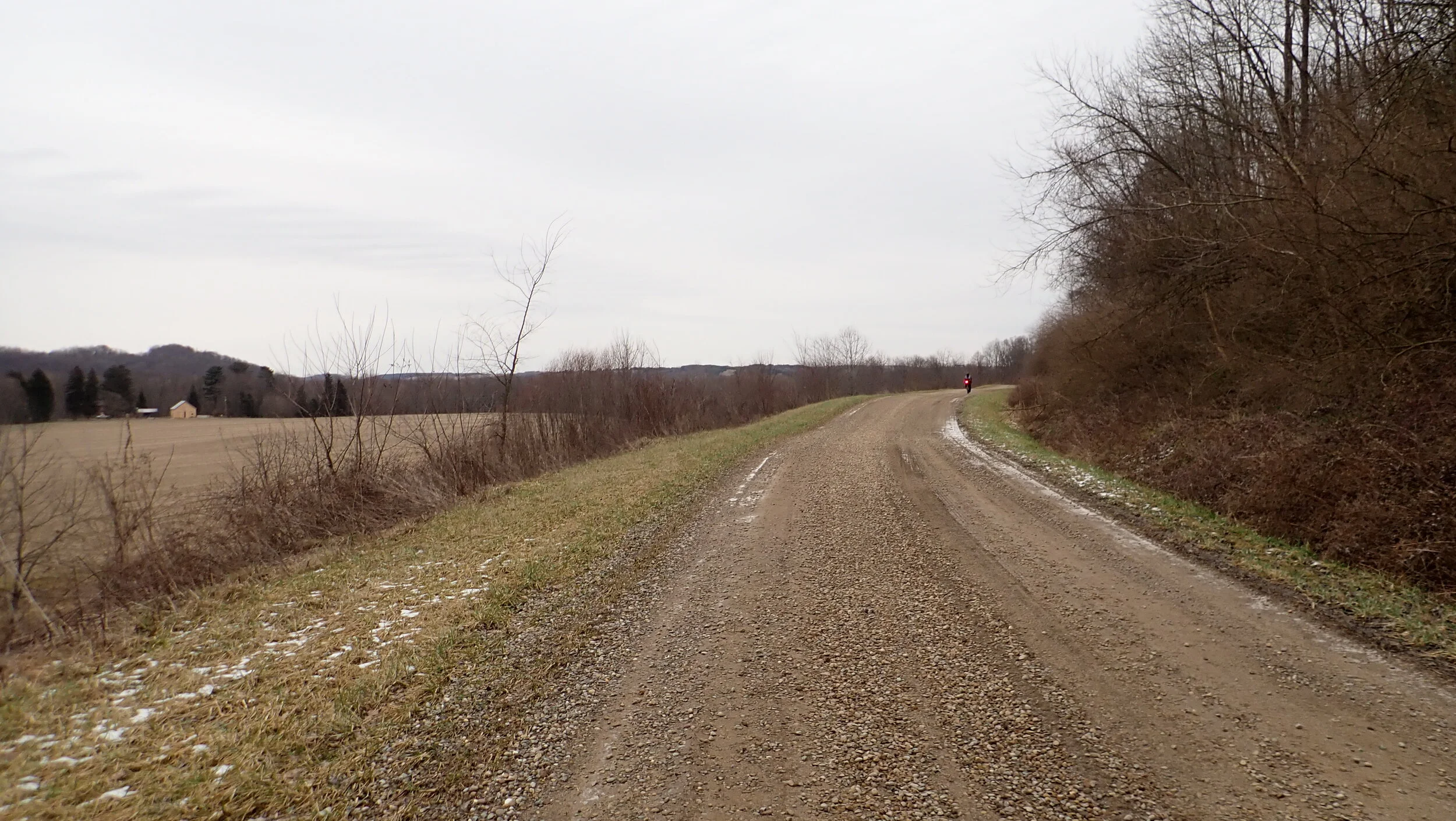
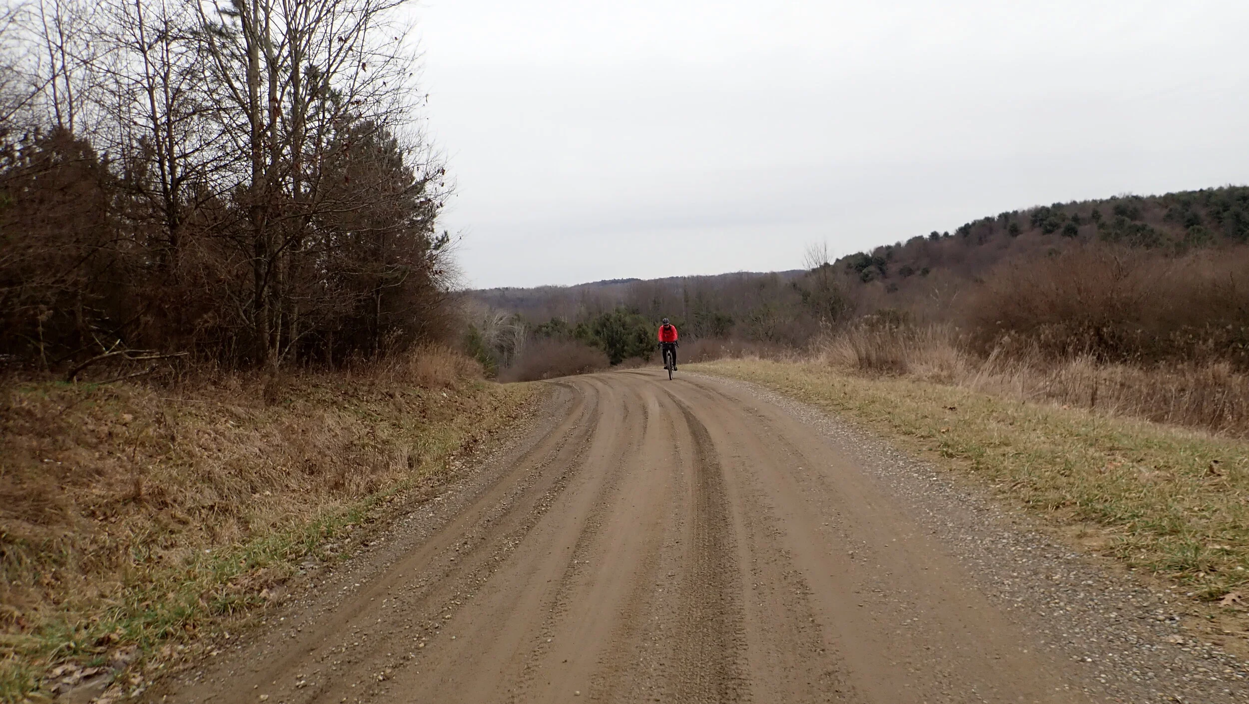
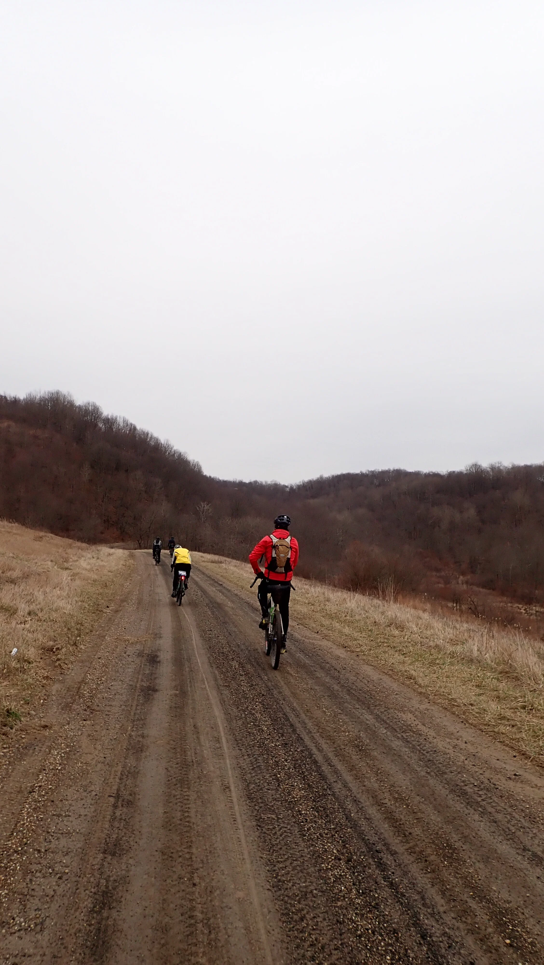
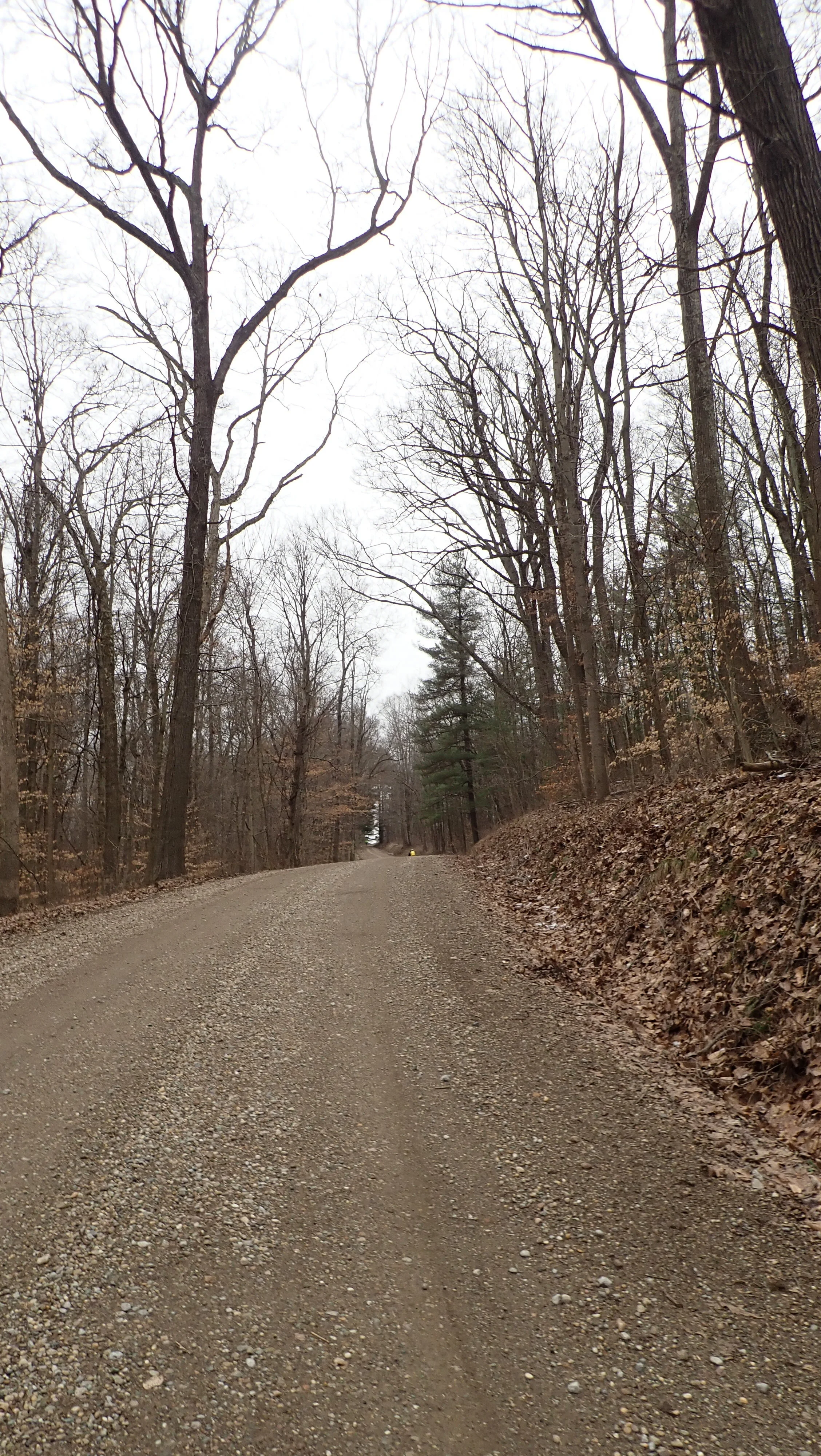
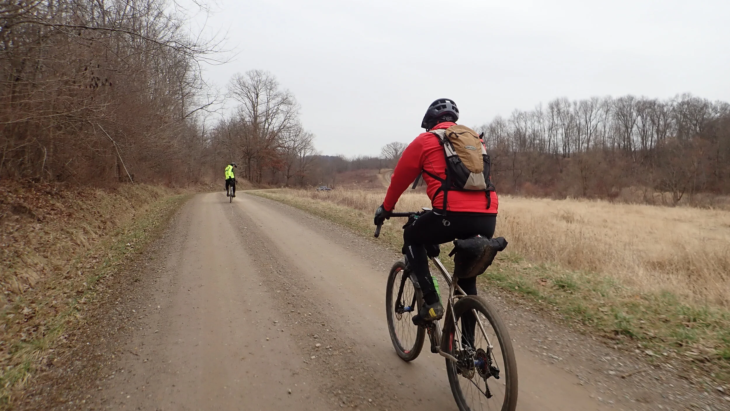
Packed gravel in the valleys
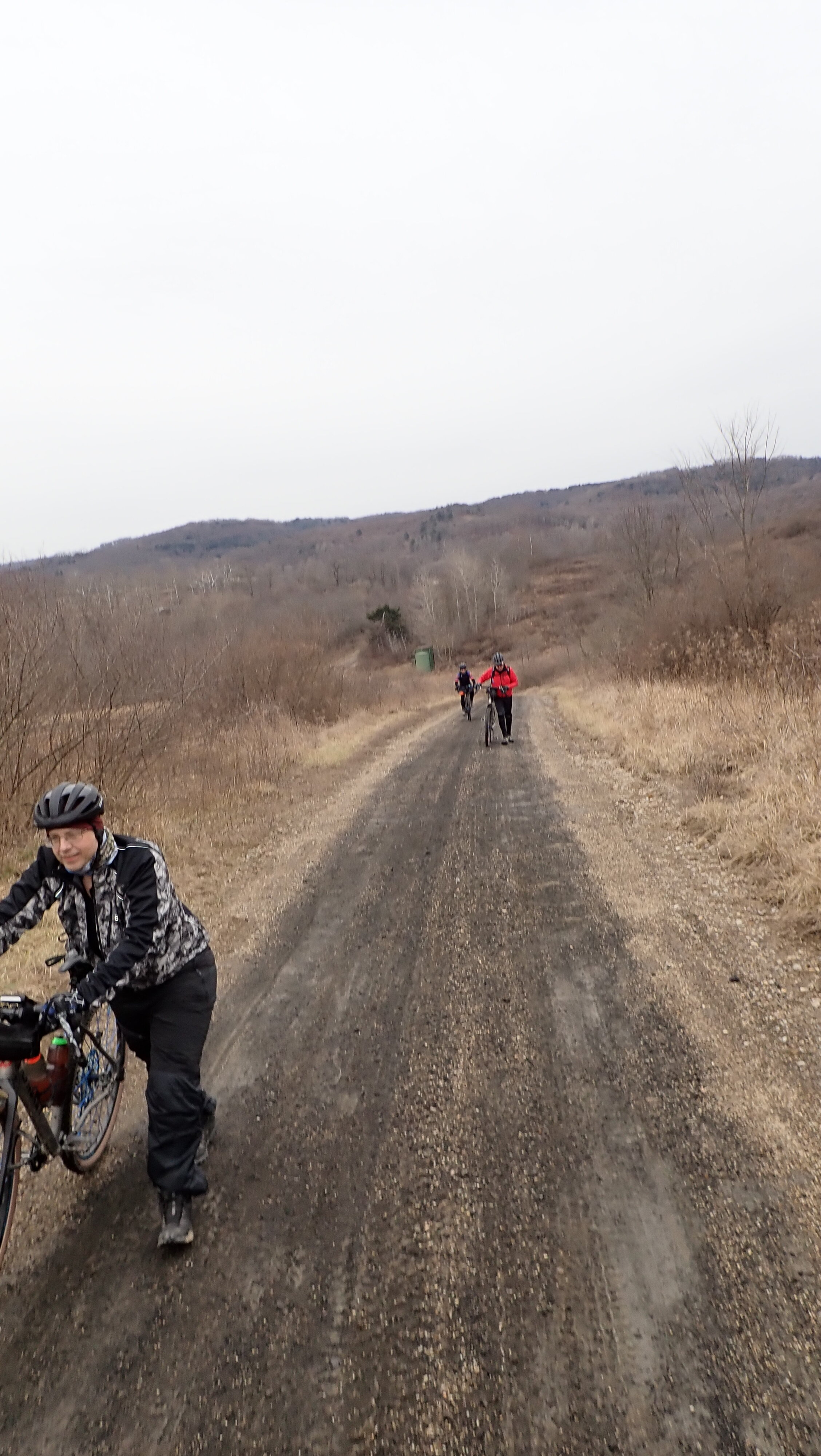
Some road mushiness on the ridges
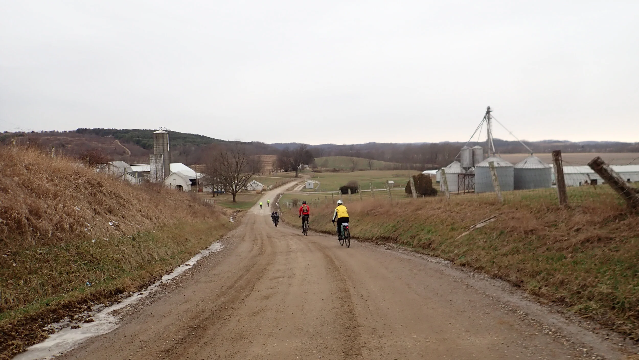
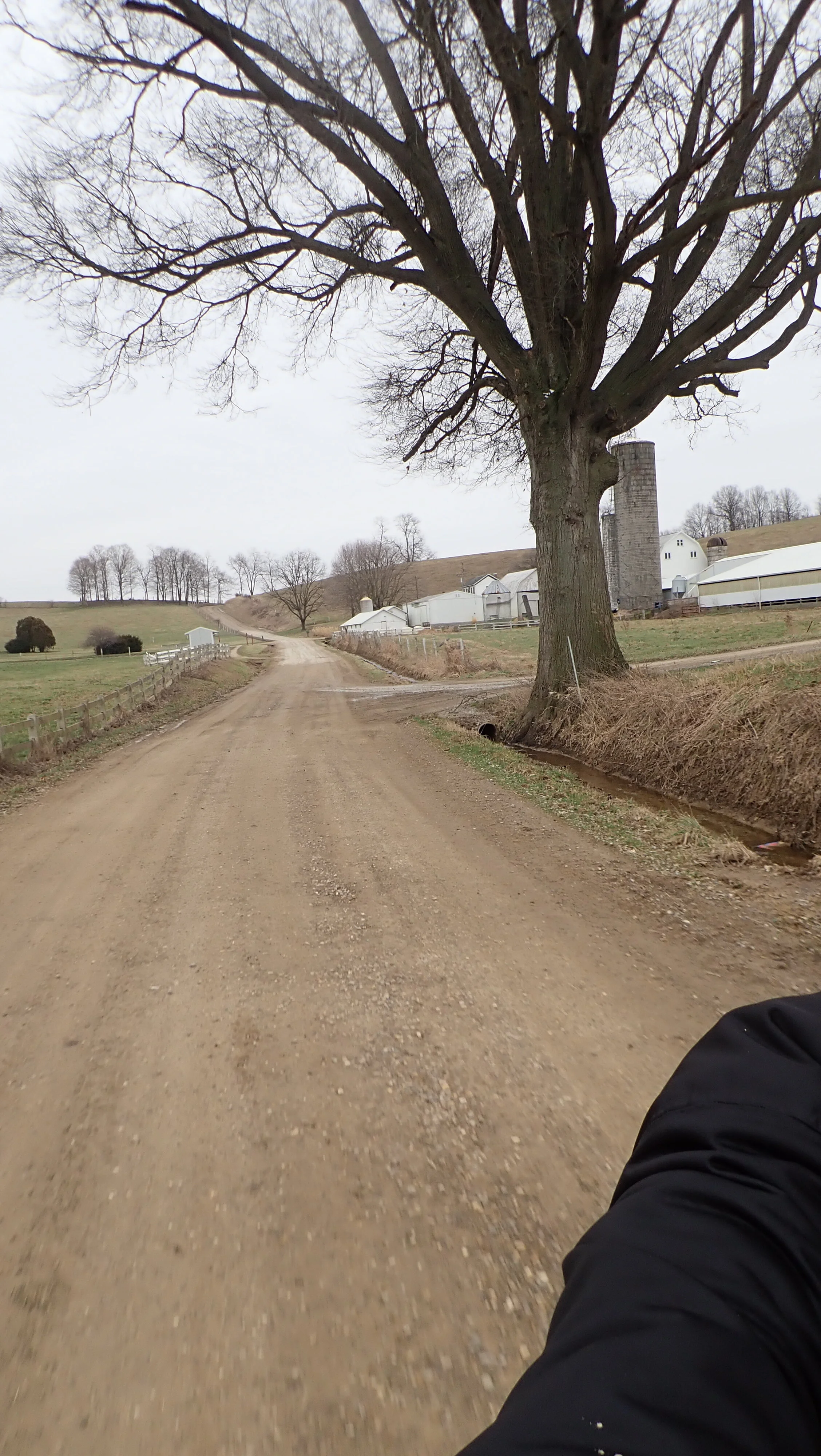
Horses and cows
We parked at the Wills Creek Dam, 48833 Co Rd 497, Coshocton, OH 43812. Plenty of parking near the spillway with a shelter and two pit toilets.
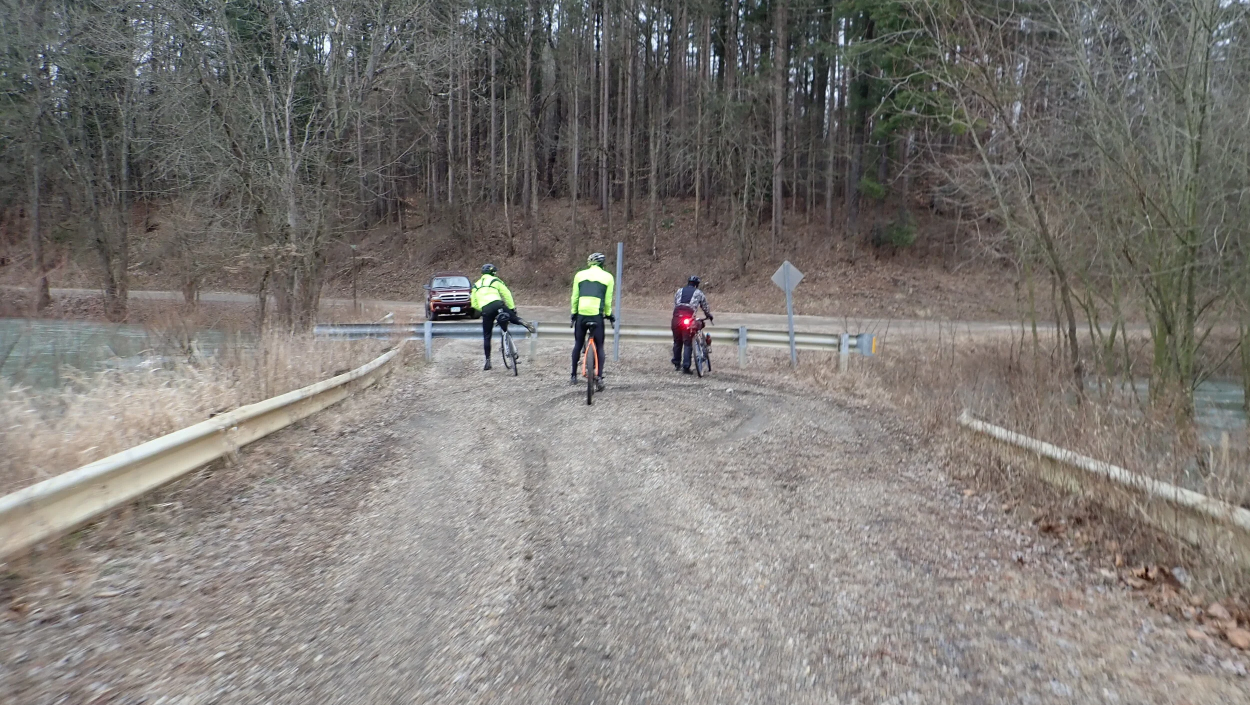
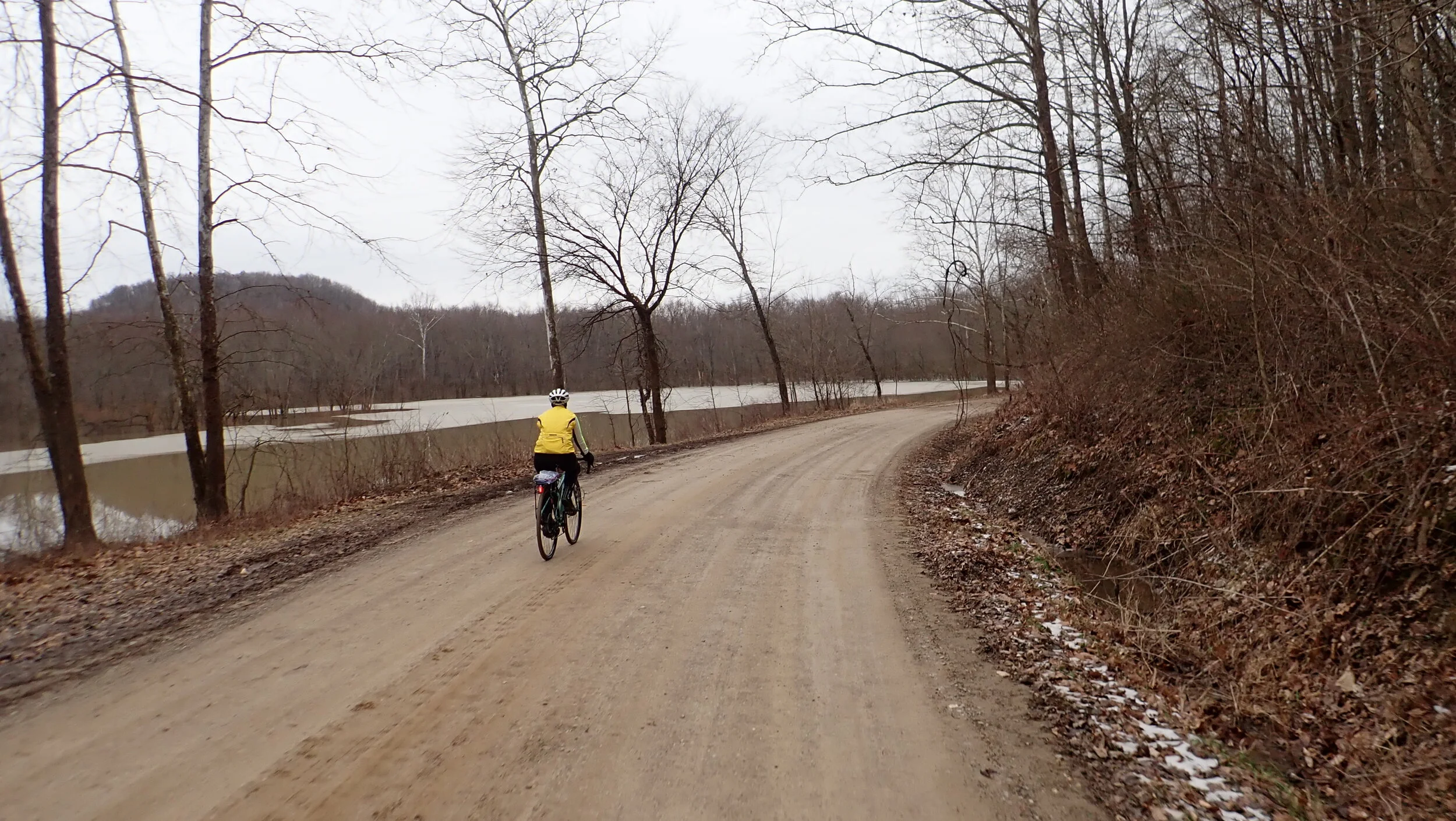
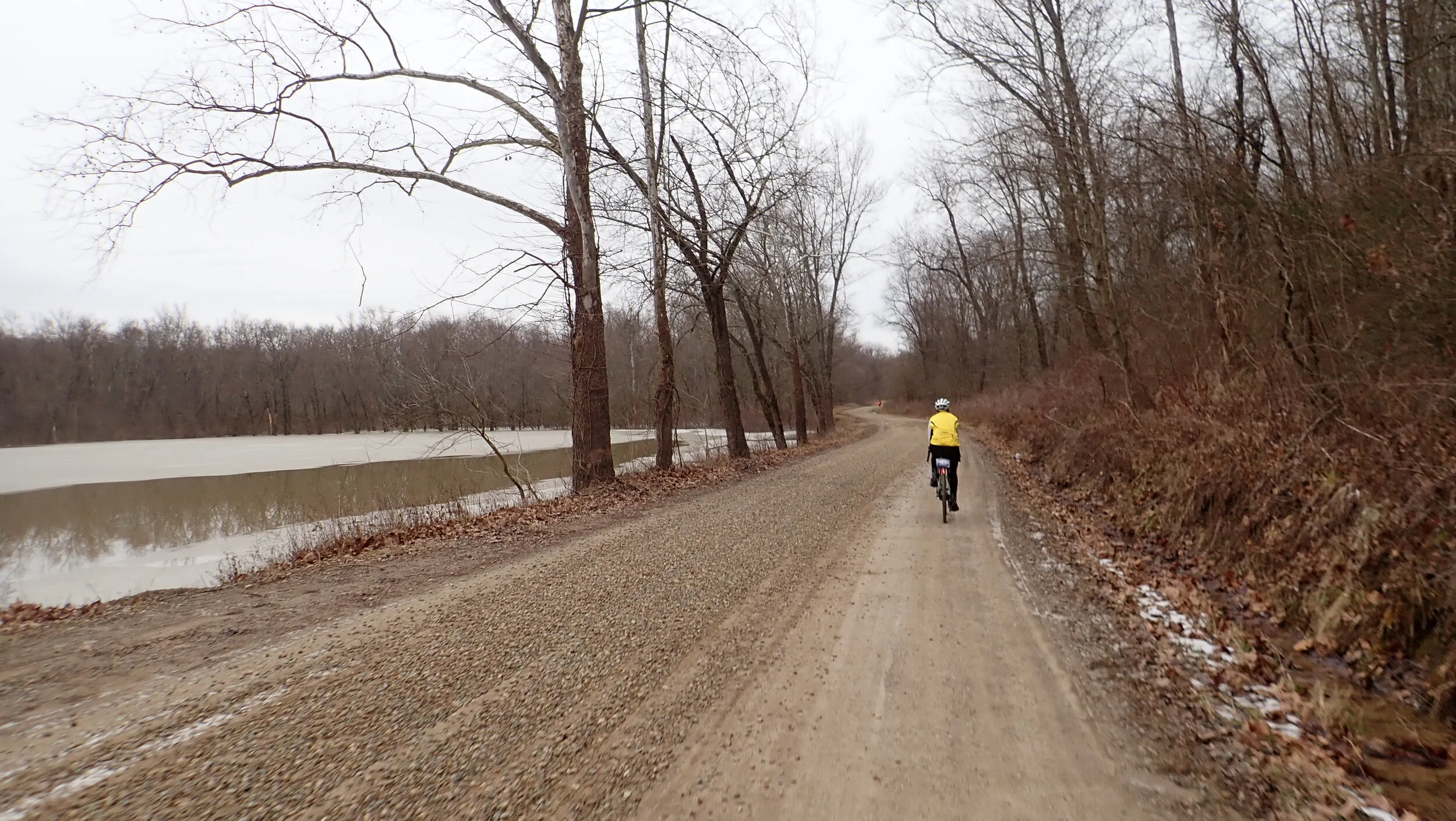
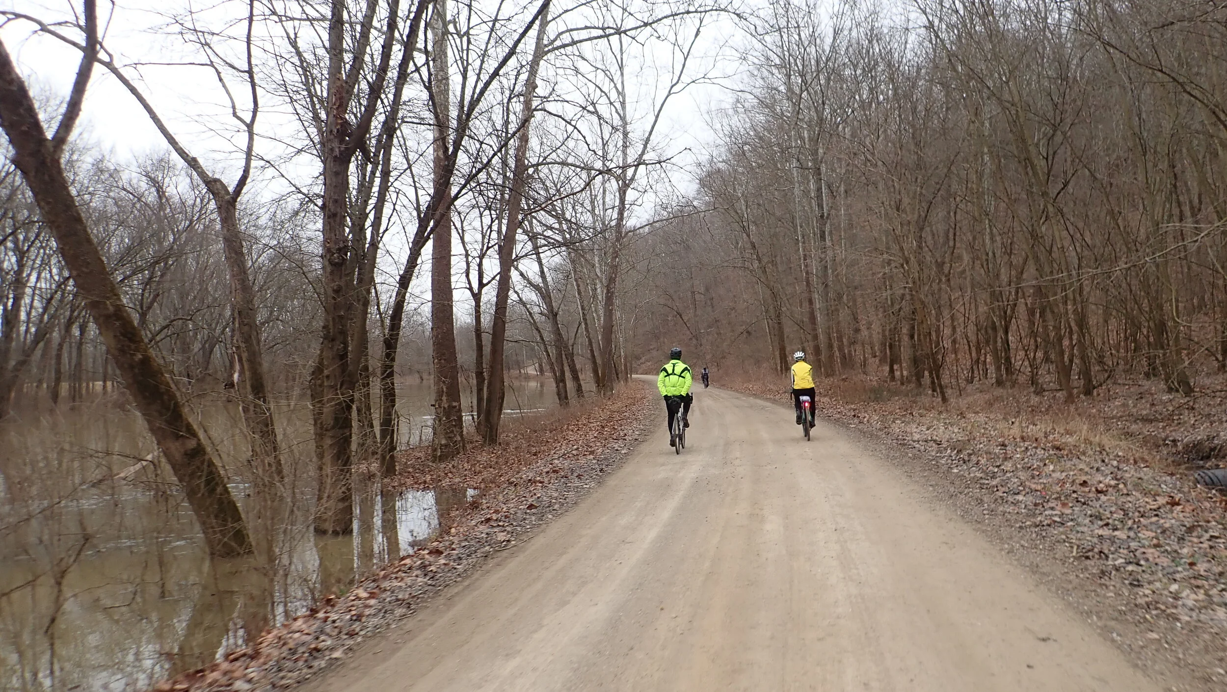
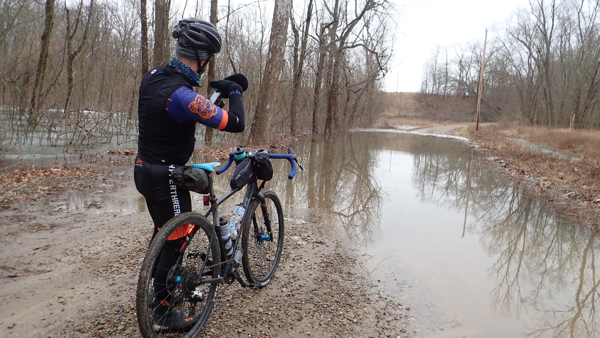
Route follows Wills Creek watershed for the first 10 miles. There are numerous “High Water” signs along the way. At mile nine we ran into flooding which forced us to turn around and find a detour. Original 37 mile route.
We found Township Highway 144 and climbed up to the top of the ridge looking for a road named Peabody Lane to take us back down off the ridge to the route. Peabody exists but it is gated and private. We dropped down off the ridge to Otsego and took 93 back toward the original route. We followed the route toward Plainfield and encountered a closed, but passable county road. The road slip was being worked on.
On the other side of Plainfield we stopped for coffee and lunch outside. Temps were in the 30’s at the start rose to the low 40’s. Some sleet after lunch.
Not many dogs out barking on the route. A lot of horses and cows in the fields though.