
Recap: 2023 Michigan Coast to Coast 100 - Tale of Two
Michigan Coast to Coast is one of the premier gravel races of Michigan. This year, the June 24, 2023 event was my second time attending the race (read my 2022 recap ). The headline event is a 213 mile East to West one way race across Michigan from Au Gres (Lake Huron) to Ludington (Lake Michigan). They also have an option of a 100 mile loop that starts and ends in Ludington. This is a self supported race with the exception of getting help at checkpoints from your support team, and/or stopping at convenience stores or gas stations on the way to refill water and get food. The only other reason for you to get help on the course from your support team is when you scratch and need to be picked up.
My plan was to race the 100 mile race with my buddy Chas Hoff. Unfortunately, and because of my mistake, I suffered food poisoning the day before the race. Because of it, I decided to scratch from the race and support Chas. Below is the account from a support perspective (me) and a racers’ perspective (Chas) in bold.
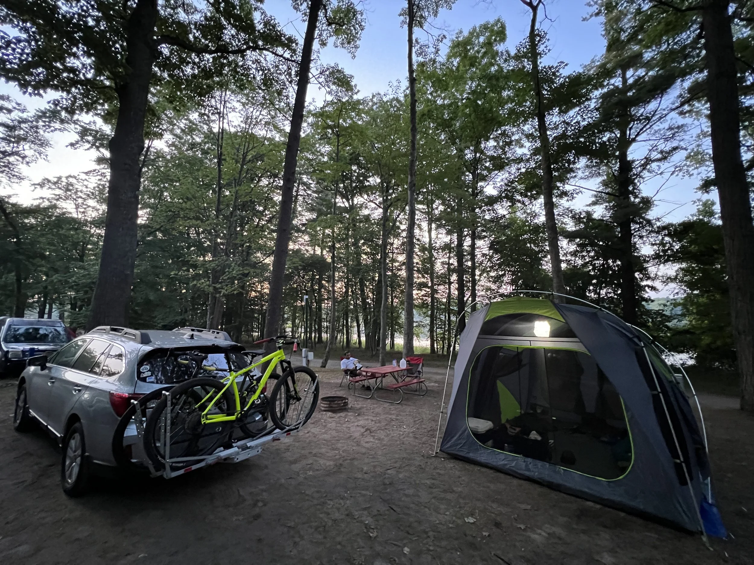
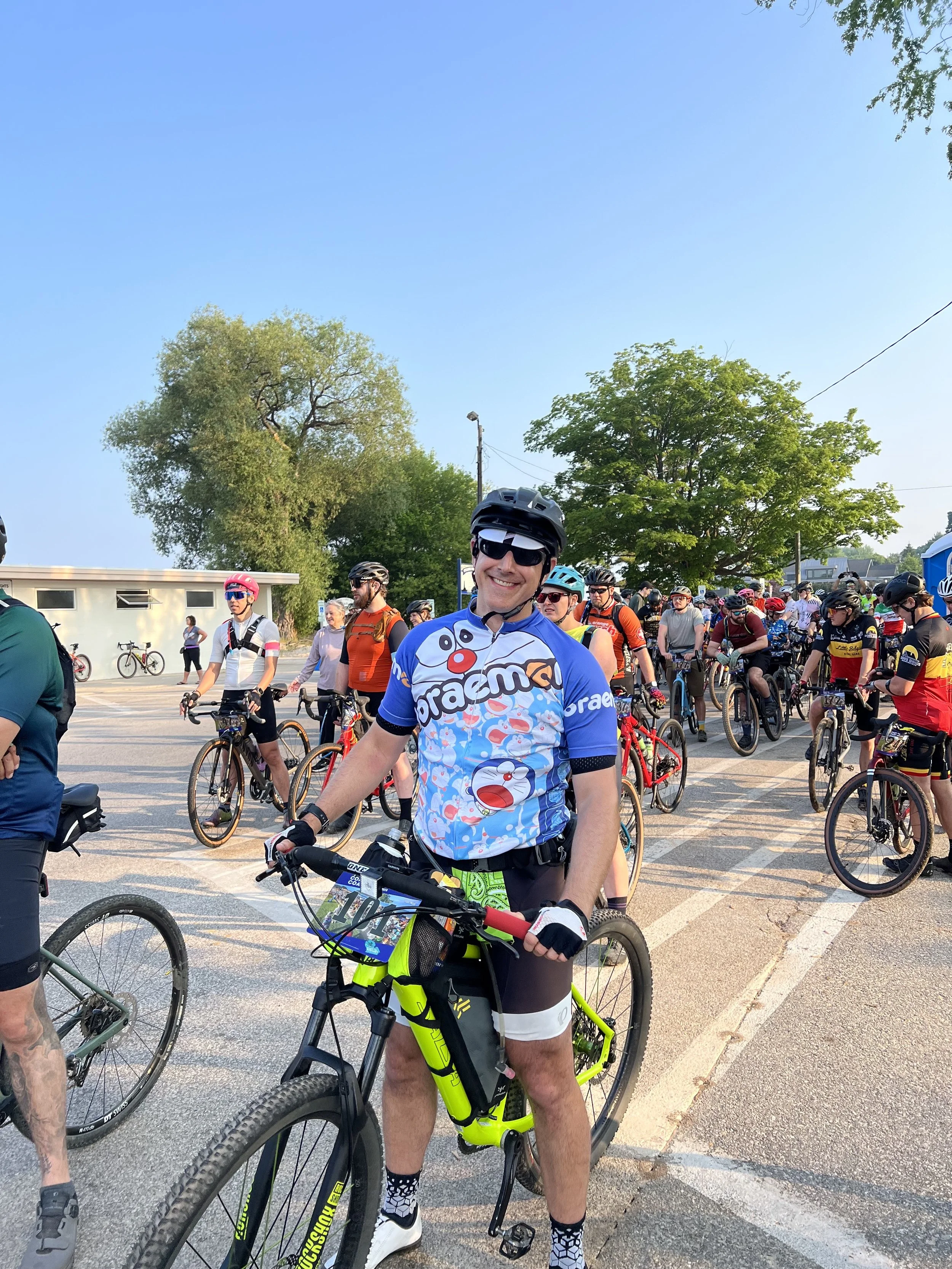
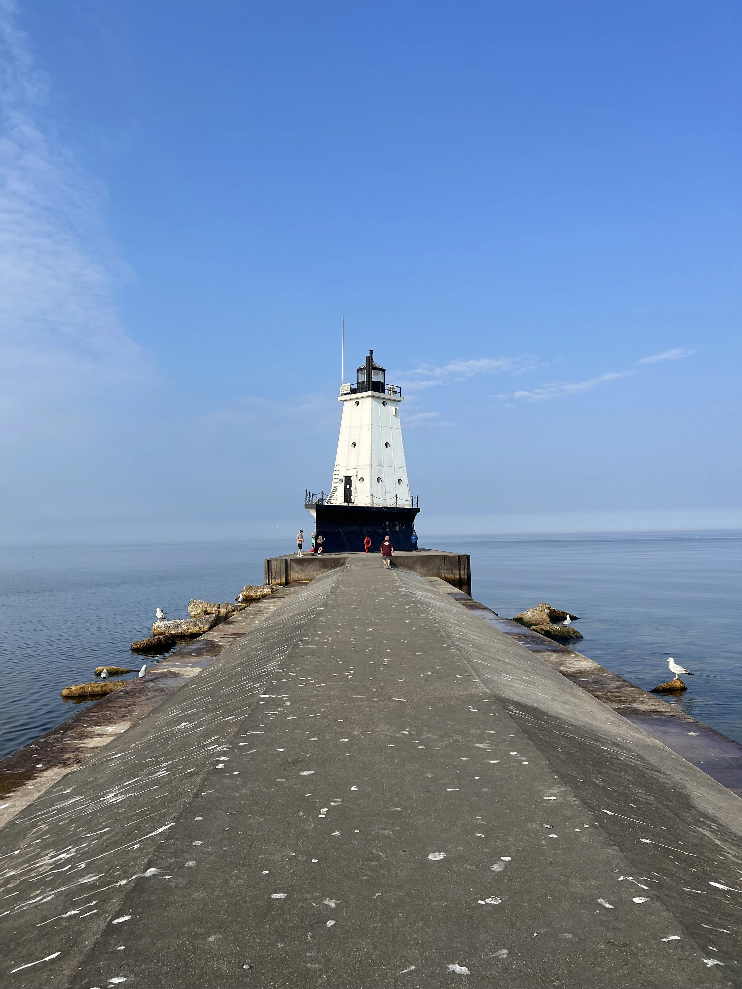
We reached Ludington Friday afternoon and camped at the Cartier campground—only one mile north of the race start. Saturday, it was a beautiful morning in Ludington for the 100 mile start. Temperatures were around 60 F. More than 200 racers gathered for the 100 mile race at Stearns Park and took off at 8 AM. I made sure that Chas had his bike and gear dialed, and gave him my Garmin inReach so I could track his position to predict when to meet him at the Big M trailhead in the Huron-Manistee National Forest—the only permitted checkpoint and support area on the 100 mile loop. After the racers departed, I walked out to the lighthouse on Lake Michigan to soak in the morning and get myself moving after dealing with abdominal cramps earlier in the morning.
Lining up for the mass start, nervousness set in as I knew I’d be tackling an unknown route under tough conditions without my riding buddy. I held out hope Anurag would feel well enough that morning to join the ride he’d been looking forward to, but the toilet Gods are cruel bastards after all. Undeterred, Anurag responded to the misfortune by seeing me off in good stead, and later meeting me at the sole checkpoint of the race to resupply me for the final and hardest stretch of the day.
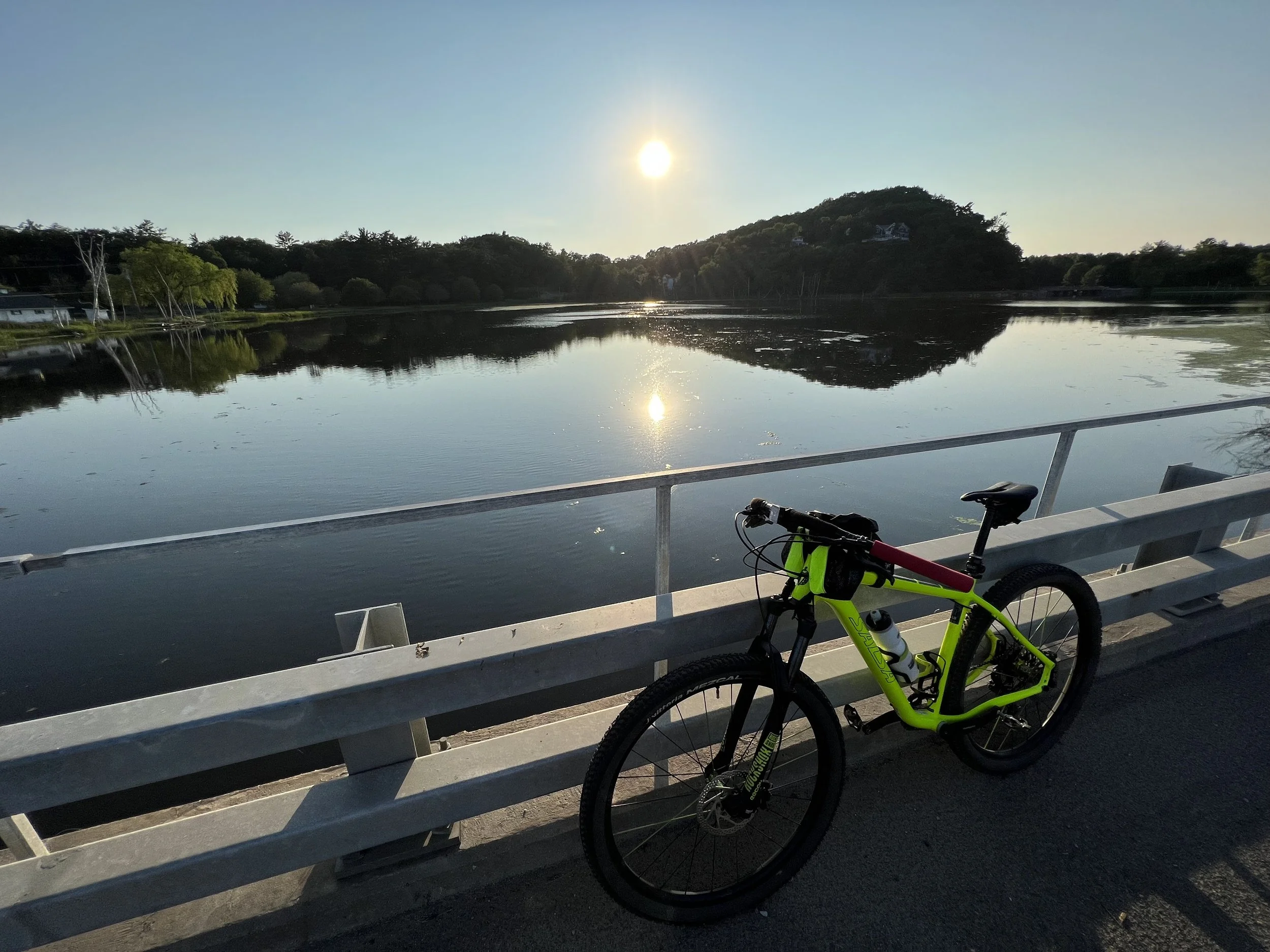
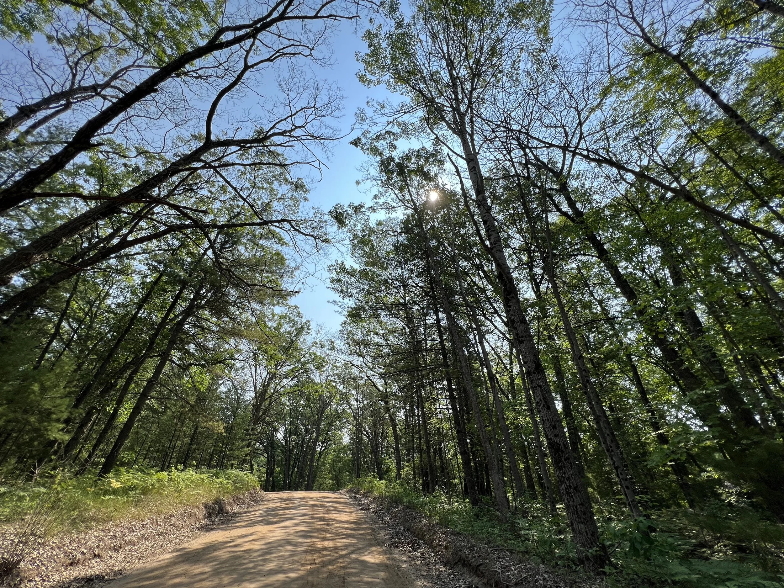
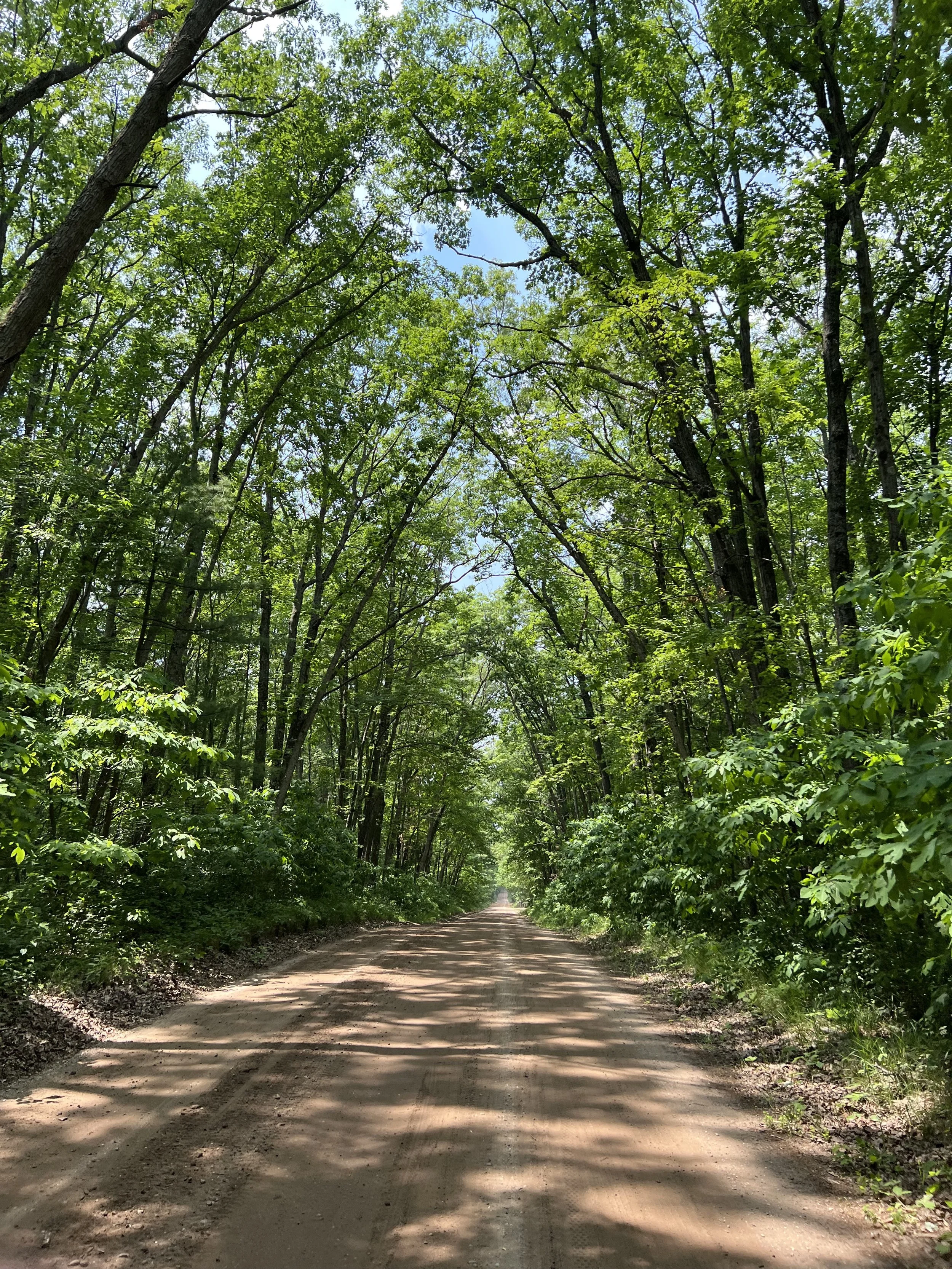
Once we were off and the adrenaline began to fade, the mass began to thin into smaller groups. The azure skies, warm morning sun, and fast and smooth gravel seduced us all into a state of high spirits. Riders were friendly and supportive as we yo-yo’d along the first 25 miles or so. The only notable early challenge was a ride through what can only be described as a two-track tantalizing terror trek through a farmer’s field. Otherwise, the mix of mostly rural gravel roads was relatively flat with a few rolling hills thrown in for good measure. About 7 miles from the unofficial lunch stop in Dublin, the heat and fatigue began to creep into my body. Admittedly, I wasn’t in prime condition for the race, but I’ve completed many 100+ mile rides before, including multiple days in a row. However, this was my first attempt at a gravel century, and it was a different experience altogether. Had I known, I would have prepared differently. It’s not like I hadn’t been warned … a rider was cruising along casually early in the race. We got to chatting and she mentioned she was a veteran of the race, and was strategically taking it easy because of what was to come. I asked her to please educate me as a noob. She just smiled and said wryly, “there are sections ahead that make grown men cry.” She wasn’t exaggerating.
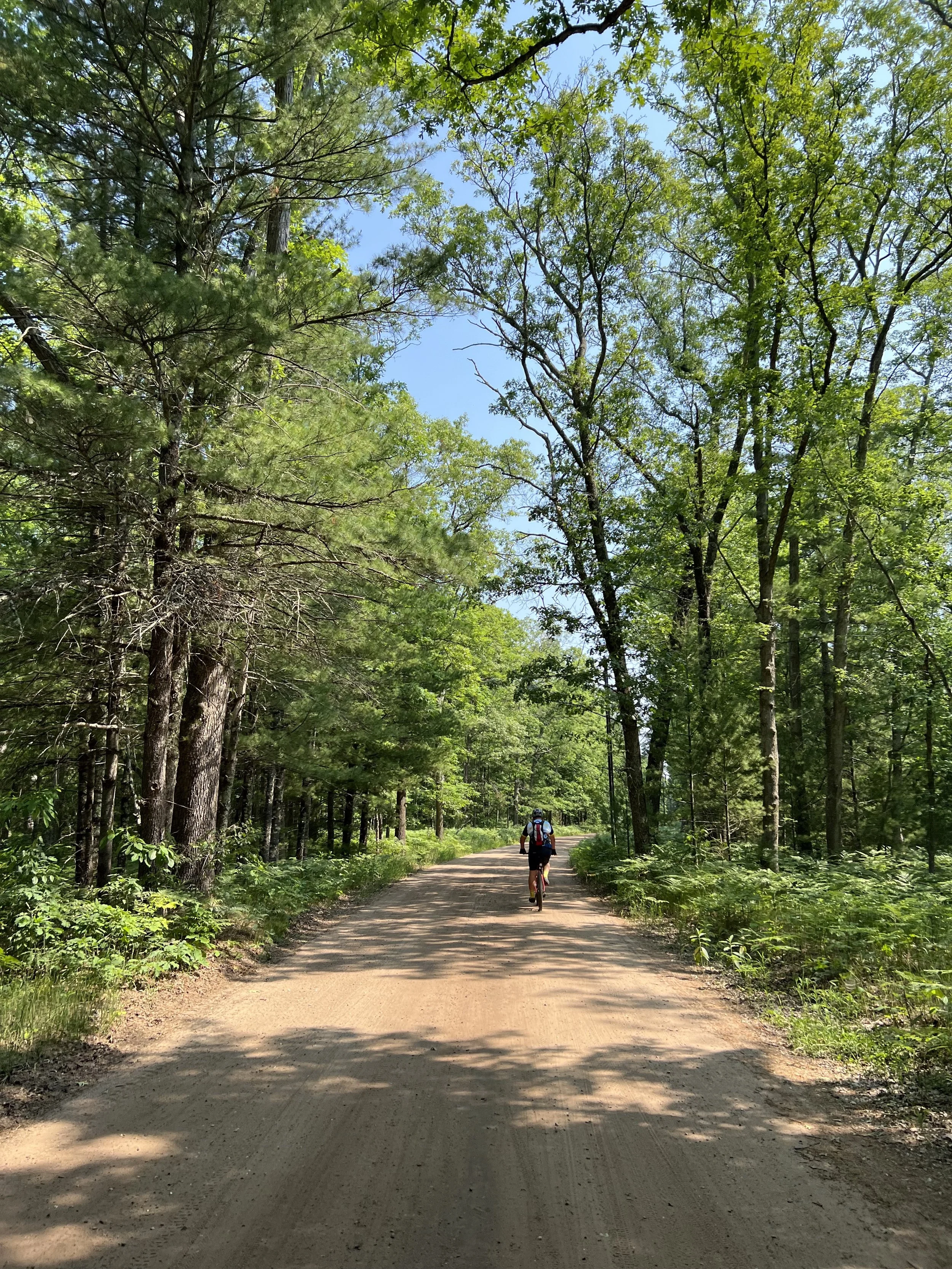
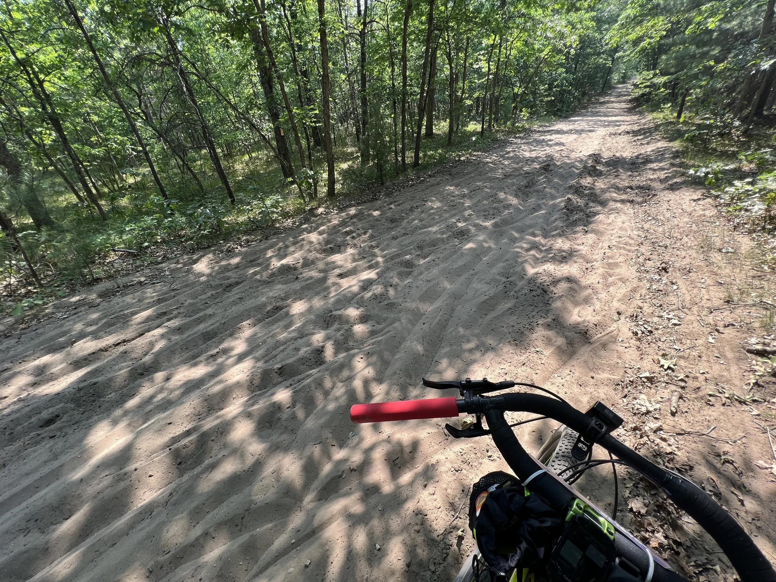
I found my own rhythm and kept a healthy pace until road conditions started to deteriorate. Peak sun began nibbling away at my energy and positive state of mind. I forced myself to hydrate and consume calories at regular intervals, but at some point, you just can’t sustain the same power and poise. Closing in on the lunch stop, the race organizers threw in a sand-strewn stretch of two-ish-track. Most of it was still navigable by riding in the middle or off to one side, but there were a few areas with deep sand that I’m certain were intentionally placed by the race organizers. As I struggled through those sections, I imagined them gleefully pulling a “place pain here” lever from a fictional blood red dump truck with flame detailing, monster-truck tires, and a lifted suspension. I managed to make it through and carry on to the lunch stop in Dublin around mile 52 where a kind fellow racer greeted me with a frozen popsicle—it was manna from heaven after several hours in my sun-baked saddle.
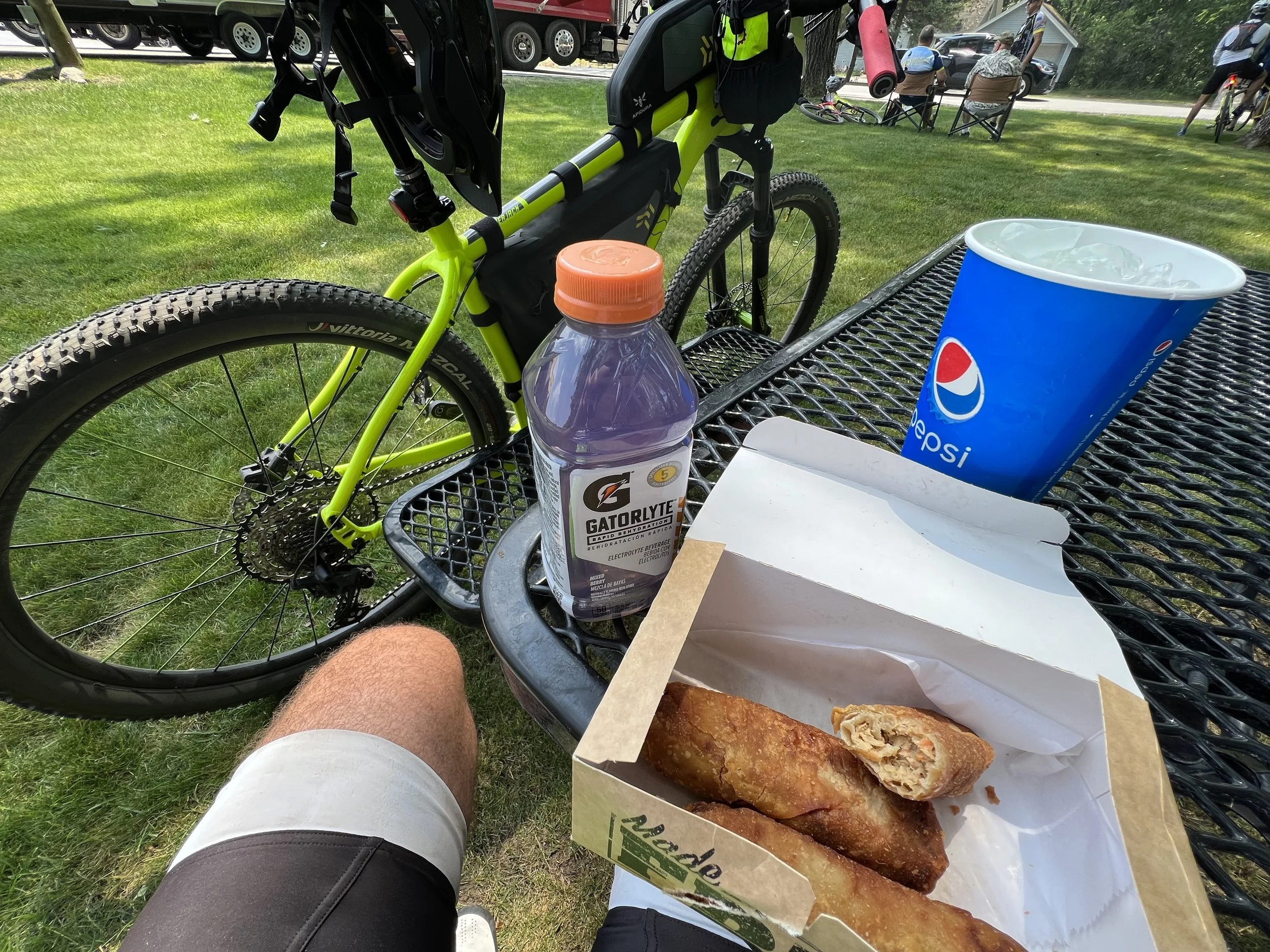
I only intended to stay about 20 minutes or so to quickly eat and refill my bottles, but it took more than an hour to get moving again. If you’re thinking of doing this race, here’s some intel for you: the general store in Dublin is big, really big. Bathrooms are off to the left as you enter, so don’t waste time wandering around looking for them like I did. The prepared foods and soda fountain where you can get your calories and huge cups of ice are off to the right. Riders typically buy large jugs of water and leave the extra out front. Once you’ve relieved yourself and escaped the checkout line, you can refill out front, scarf down your food and go! Don’t dilly dally like I did—it was a mistake I won’t repeat.
The stretch to the only official checkpoint and support area at mile 67 featured more rough roads, rolling hills, and groovy gravel. As the race organizers warned, virtually none of the course was marked, so I basically relied on a combination of my Ride with GPS app chirping in my ear from my phone, and the sad little map on my Garmin Edge 530. Another major mistake I made was not testing the route in advance for turn-by-turn directions. As a legally-blind rider, I can’t read road signs or see map details on any device while moving. I generally rely on other cues such as audio prompts from Ride with GPS or Google Maps, or follow fellow riders—but as the day wore on, I found myself alone most of the time.
For this ride, my Garmin Edge didn’t provide any on-screen guidance on where to turn, it only had a general route loaded with no arrows to indicate turns, and Ride with GPS also did not have any waypoints loaded. I had to resort to overshooting virtually every turn, and then waiting for the dreaded “off course” alert from the Ride with GPS app to retrace my steps and deduce which way to go. Thankfully, my goal was just to finish the race, so while these setbacks were very frustrating—and I felt awful for fellow riders who followed me off course—at least I didn’t have the added stress of trying to podium under these conditions. Lesson learned here is make sure you load the FIT file into your Garmin device (if you have one), and if possible, test out the route with a short warm-up ride the day prior.
Weary but still enjoying the ride and feeling optimistic about the last 35 miles, I pulled into the re-supply area at Big M where superhero Anurag was waiting with a big smile, ice-cold water, an Aleve to knock down the pain and swelling a bit, and welcome advice on how to navigate the final stretch. He is a big fat liar though as I would soon discover in a comically awful stretch awaiting me only a few miles after Big M.
After the race started, I periodically checked Chas’ location to see how far was he from Big M. I packed some bananas, pickle juice bottles, and other nutrition. I picked up a couple of gallon jugs of ice-cold water from a gas station and at 12:30 PM, I decided to leave Ludington for Big M. It's a 45 min drive which also includes some gravel roads as you get close to the trailhead. Cell coverage is sketchy around the trailhead so having a GPS unit as a backup to your phone is helpful. Because it hadn’t rained in the National Forest, the gravel was quite sandy and dusty - with significant washboarded roads that created notable chatter even in your car. When I got to the trailhead, I was able to find a parking spot off the road leading to the trailhead. I propped my camping chair and cheered the racers as they passed. It was sunny and hot at the trailhead with temperatures around 85F. The Big M checkpoint is checkpoint 3 for the 204 mile riders. So, you get to see the racers that are on mile 67 of the 100-mile loop along with the racers that are on mile 170 of 204 for the cross-state challenge.
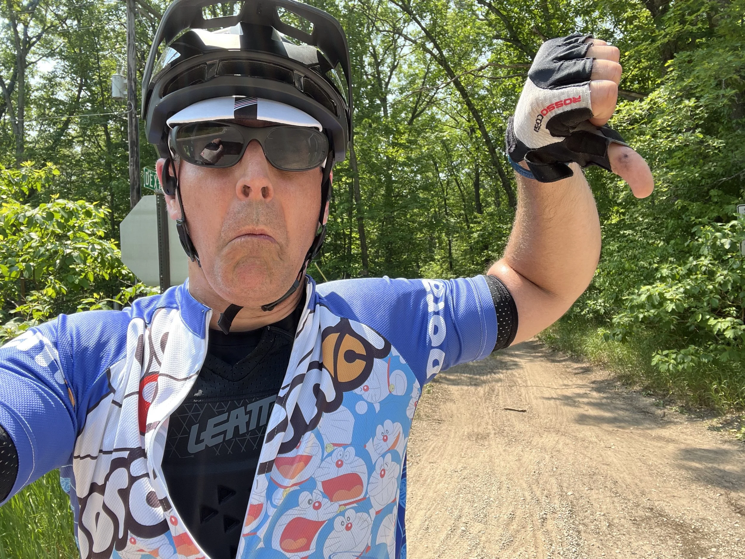
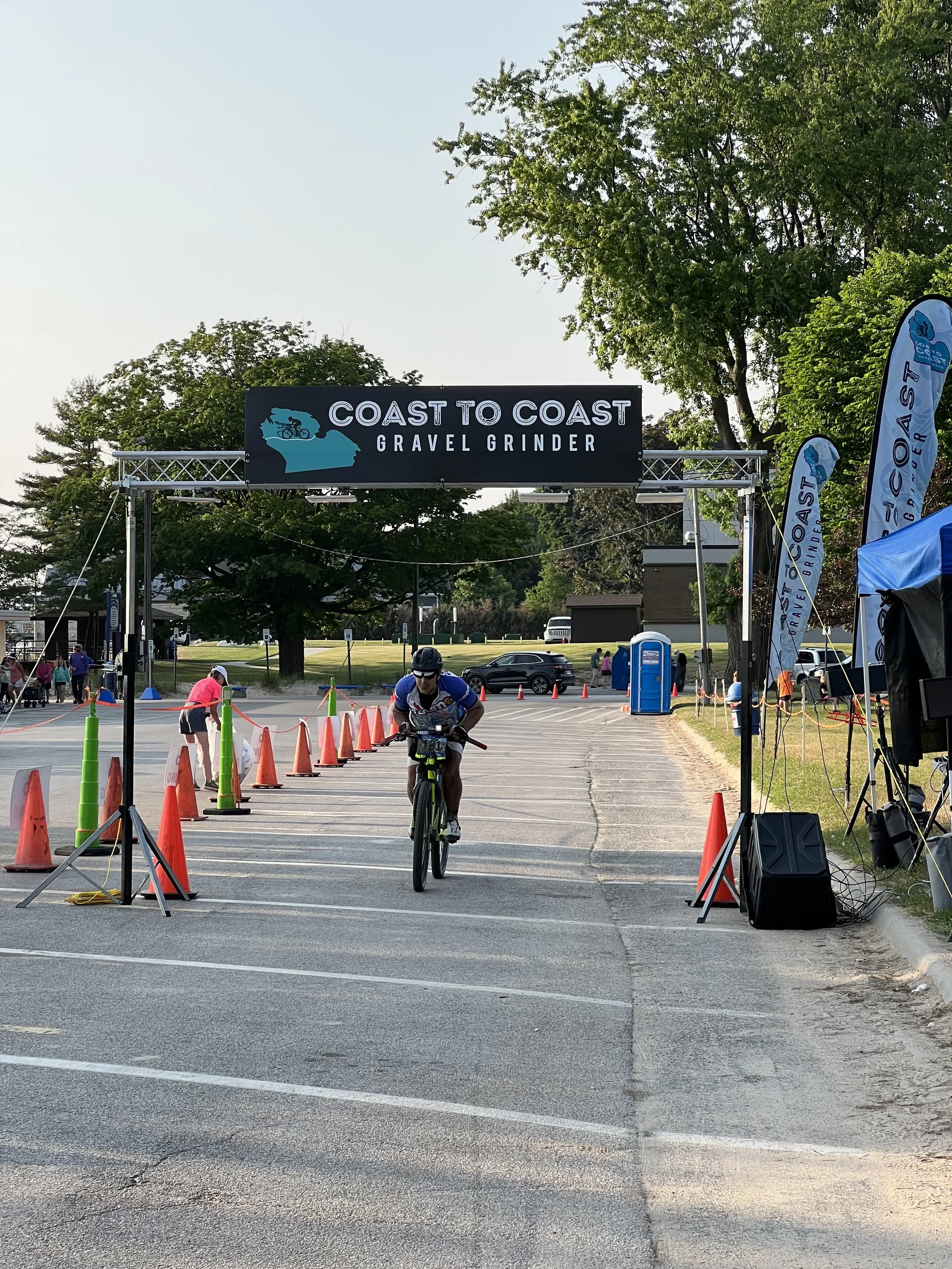
Once Chas got to the trailhead, I went down my mental checklist of things that he might need. I offered him advice on how to tackle the next 10 miles after the checkpoint as it is a mix of single track and some steep downhills that end in sandpits at the bottom of the descents. After seeing him off, I headed back to Ludington. It might have been the high from seeing all the racers, and seeing Chas in good spirits, but I finally was feeling better and decided to get something substantial to eat on my way into Ludington. The food helped as I hadn’t eaten anything other than 3 bananas and some chocolate milk in the last 24 hours. I chilled at the campsite for a few hours, tracking Chas’s dot on the map and then at 6.30 PM I headed to the finish. I cheered the finishers as they kept rolling in, and talked to the organizers about the day and the winners. At around 7:30 Chas crossed the finish line in style with a bunny hop. He looked exhausted after having a long day in the saddle. We grabbed some tasty BBQ and cold drinks afterwards made available by the race organizers, and then headed back to our campsite.
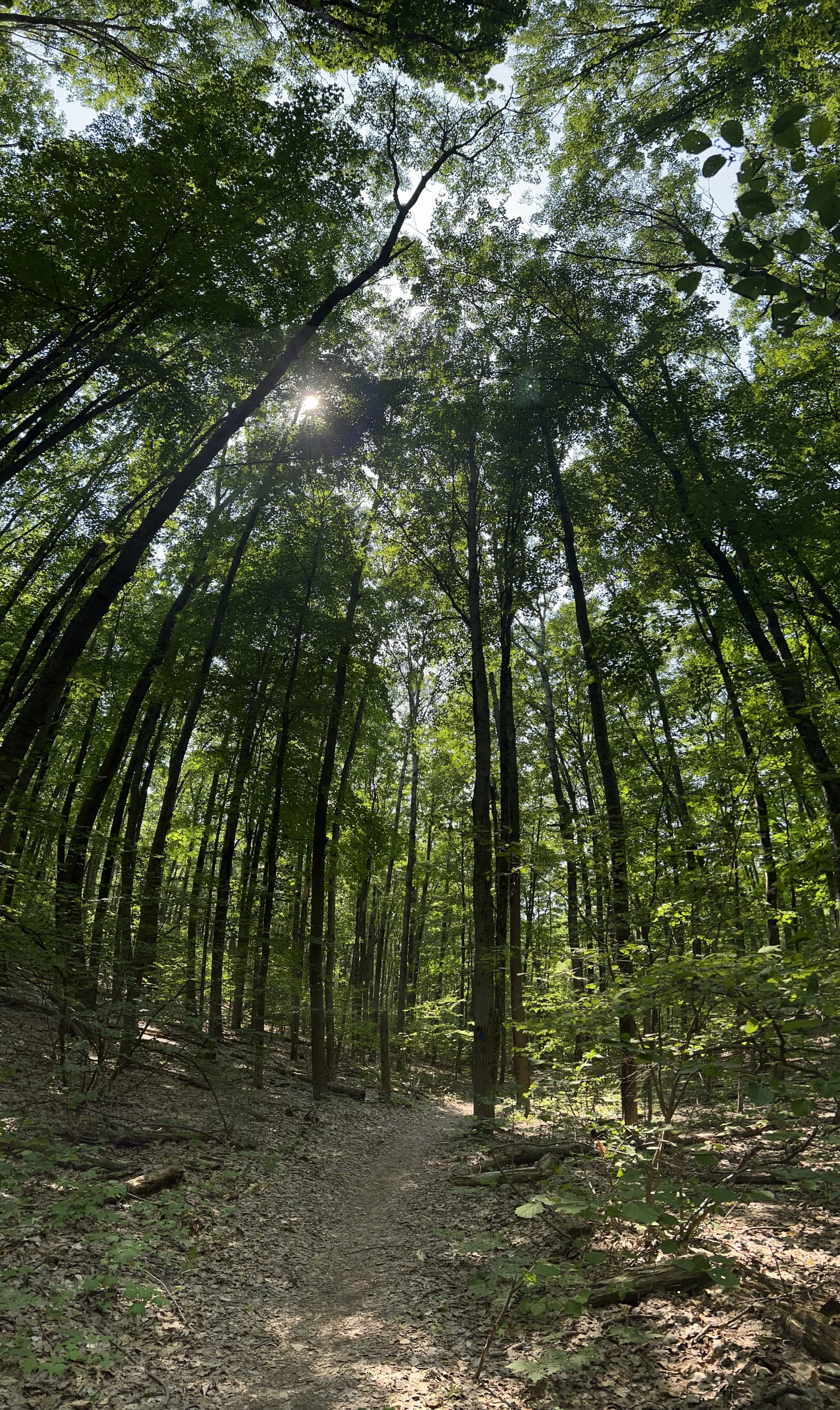
The single-track climb out of Big M was steep and a bit technical, but it was actually quite fun and a significant departure from the style of terrain up until that point. Imagine a skinny hiking trail zig-zagging through the woods riddled with roots and steep pitches that goes on long enough to drain any bounce you enjoyed coming out of Big M. Yet, one can’t help but feel a sense of accomplishment after navigating this tricky stretch and being rewarded with beautiful breezes, sweeping views, and white-knuckle descents. Anurag warned me not to get complacent on these descents as tire-snatching sandpits awaited you at the point of maximum momentum. What he DID NOT tell me about is the next 300 miles of undulating two-track with tiny peaks of navigable goodness interspersed with 40-foot deep and wide sandpits only the Pitfall character could possibly traverse. Perhaps I’m embellishing my story here, but that’s how I remember it. Nevermind that the 100 and 204 mile routes were merged at this point, and a few riders managed to slither past me as I very slowly rage stomped through this section threatening to throat punch every grain of miserable sand along the way. Clearly those riders were a mirage, or had magic floating bikes. It couldn’t possibly be my lack of skill or preparation!
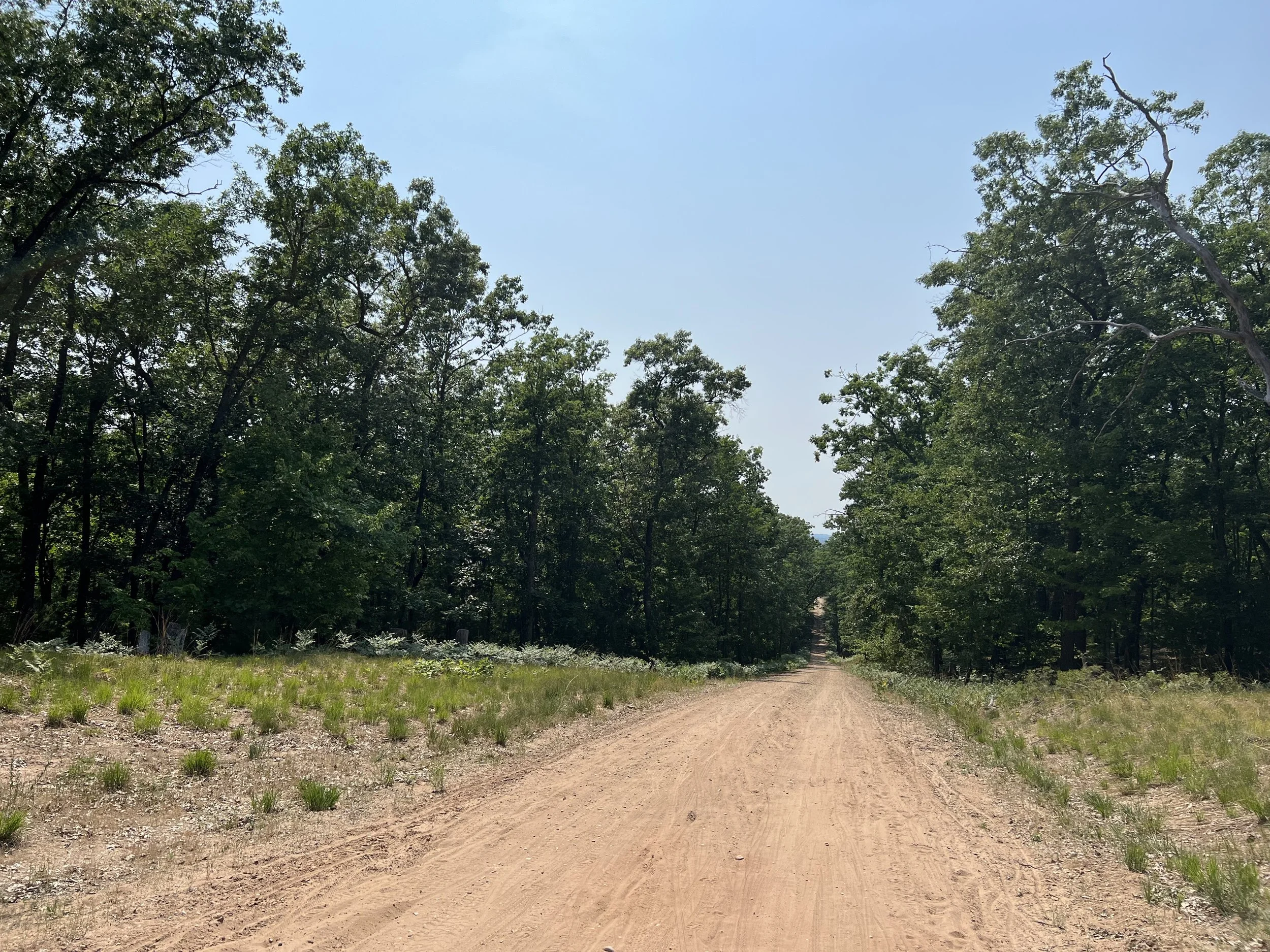
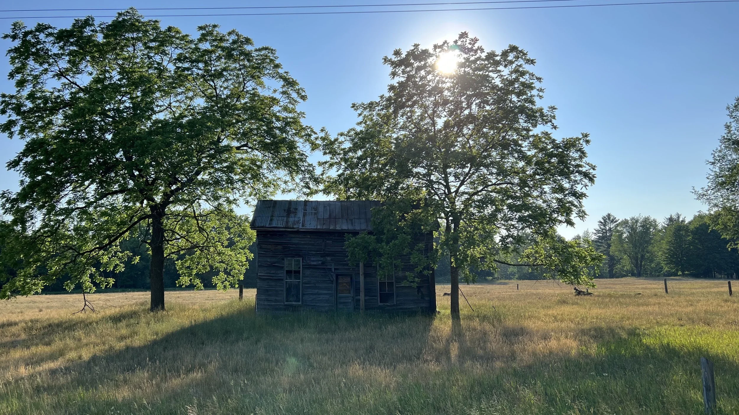
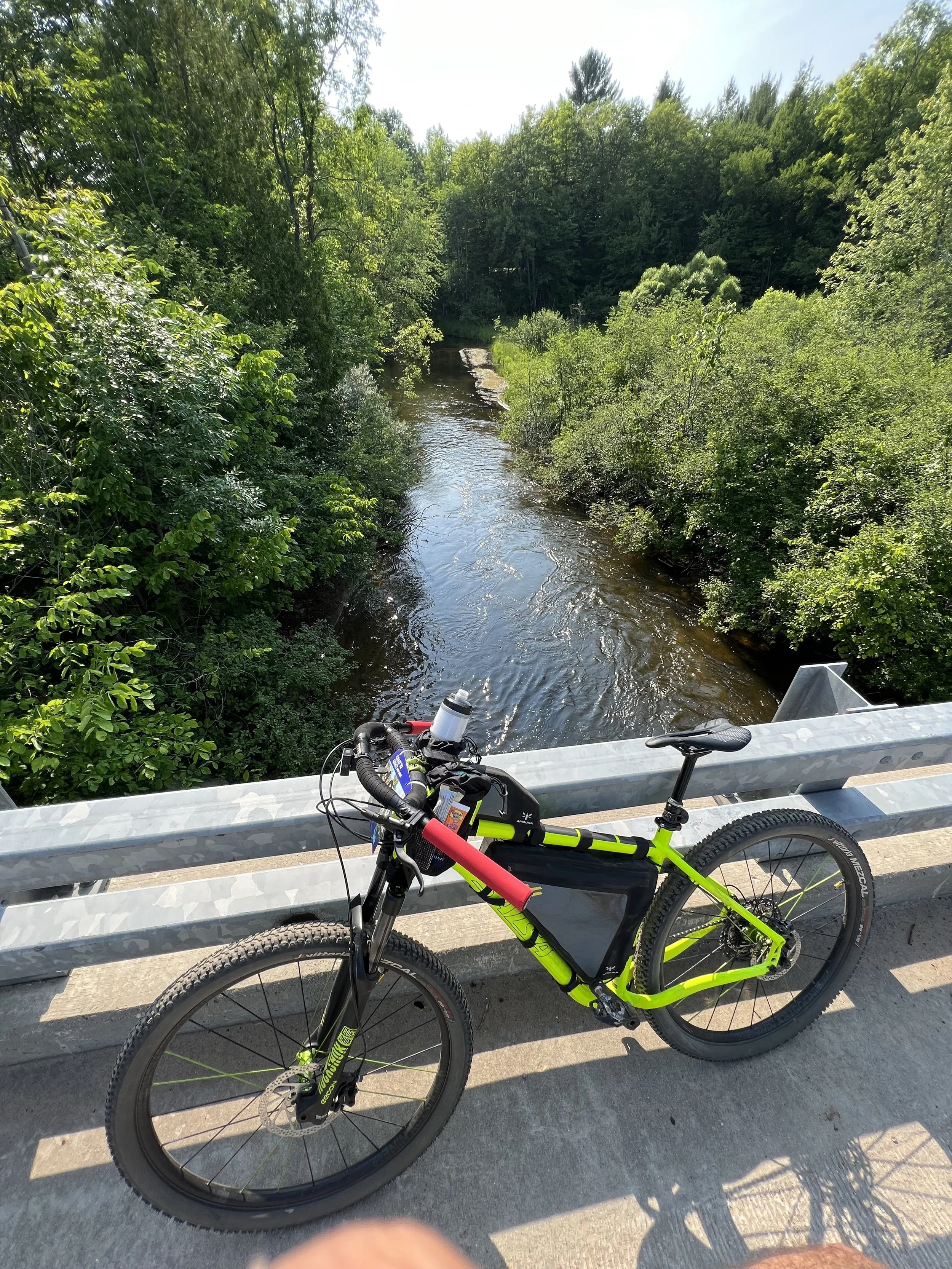
By the time I cleared this hellscape of cruel and unusual sand torture, I was physically and emotionally drained. There were moments when I considered throwing in the towel—where despair and doubts began to cloud my mind. Yet, I found a way to keep turning the cranks and moving forward. Back to gravel and open roads, I was more determined than ever to finish. The last 30 miles were slow and arduous, but they were also magnificently beautiful. The late afternoon sun, retreating temperatures, and scenic rolling views of forests, rivers, and fields of waving grains reminded me of the privilege and blessings that come with “doing hard things.”
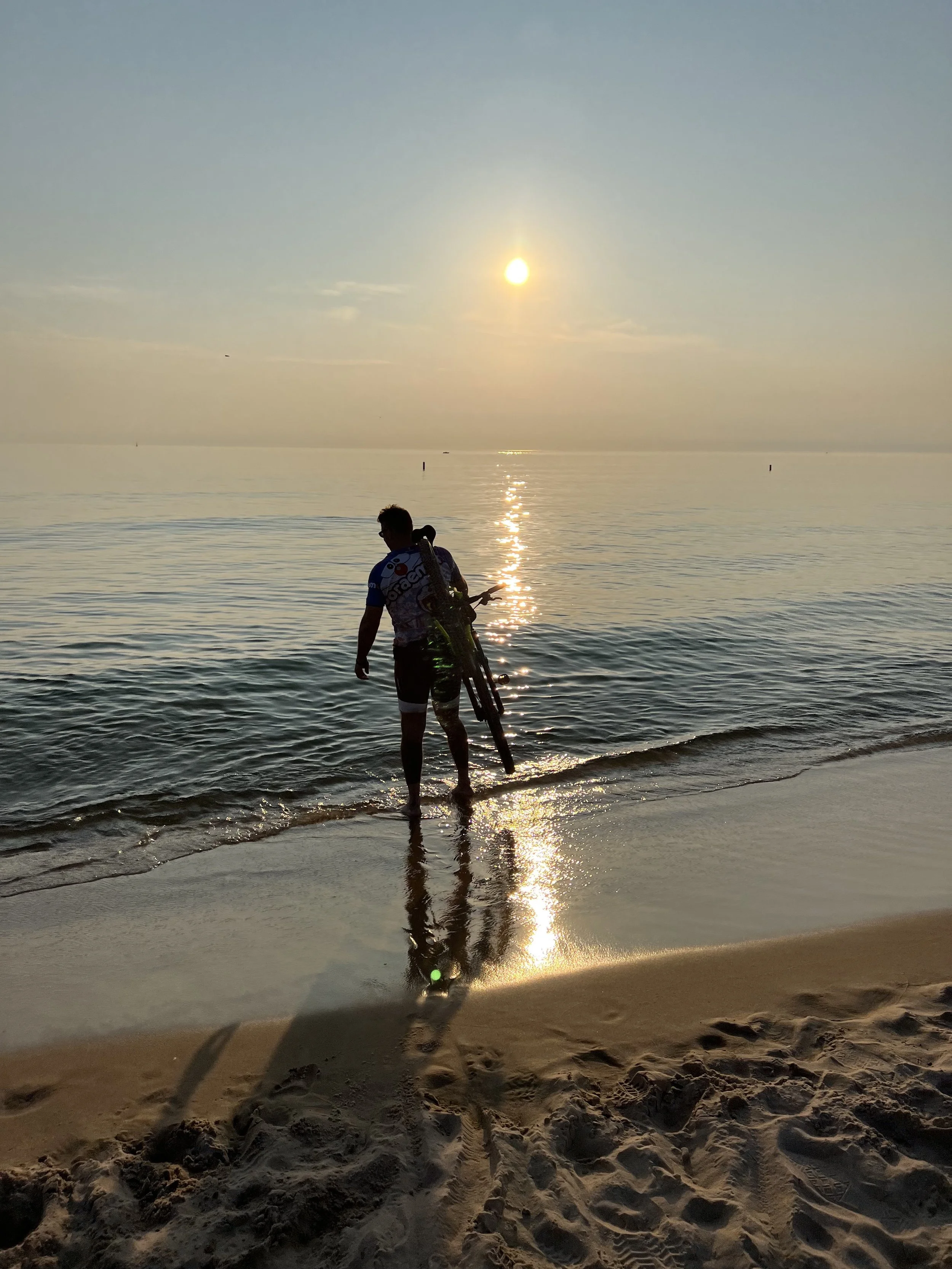
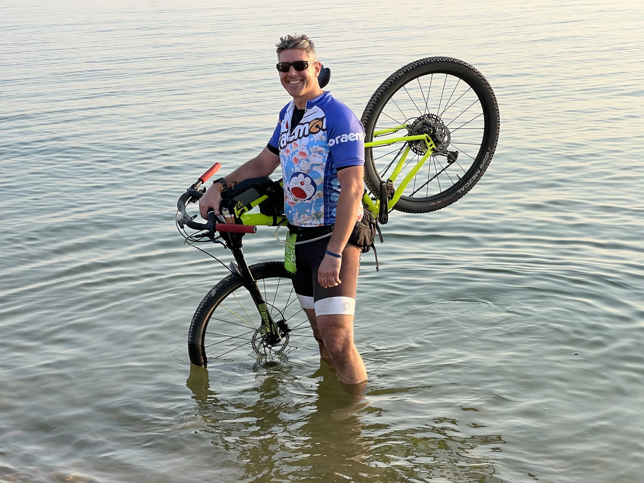
After crossing the finish line and taking a few minutes to simply be still, Anurag greeted me with words of encouragement, a frosty chocolate milk, and a heaping plate of BBQ and mac-n-cheese. A post-ride meal with a good friend, and dipping my bike in the shimmering waters of Lake Michigan as the sun drifted softly toward the horizon were the true highlights of the day.
Life is short. Do hard things, and do them with the people you care most about. When our time comes to join the heavens, nothing will sustain those you leave behind like the happy memories of shared adventures.
Thank you to the race organizers (Mark, Lin, Greg, and Matt) and the volunteers for putting together this wonderful event.
Links: