Recap: Central Pennsylvania Gravel Weekend
We originally planned to head to Lenoir, North Carolina to check out the legendary Maple Sally route, Blue Ridge Parkway, and other area gravel. A few days out, however, the weather took a turn for the worse, so we decided to go with plan B: central Pennsylvania! As it turns out there are endless roads and trails to ride in the area (check out Purple Lizard maps), and it's not even six hours from Columbus. It's well worth the trip!
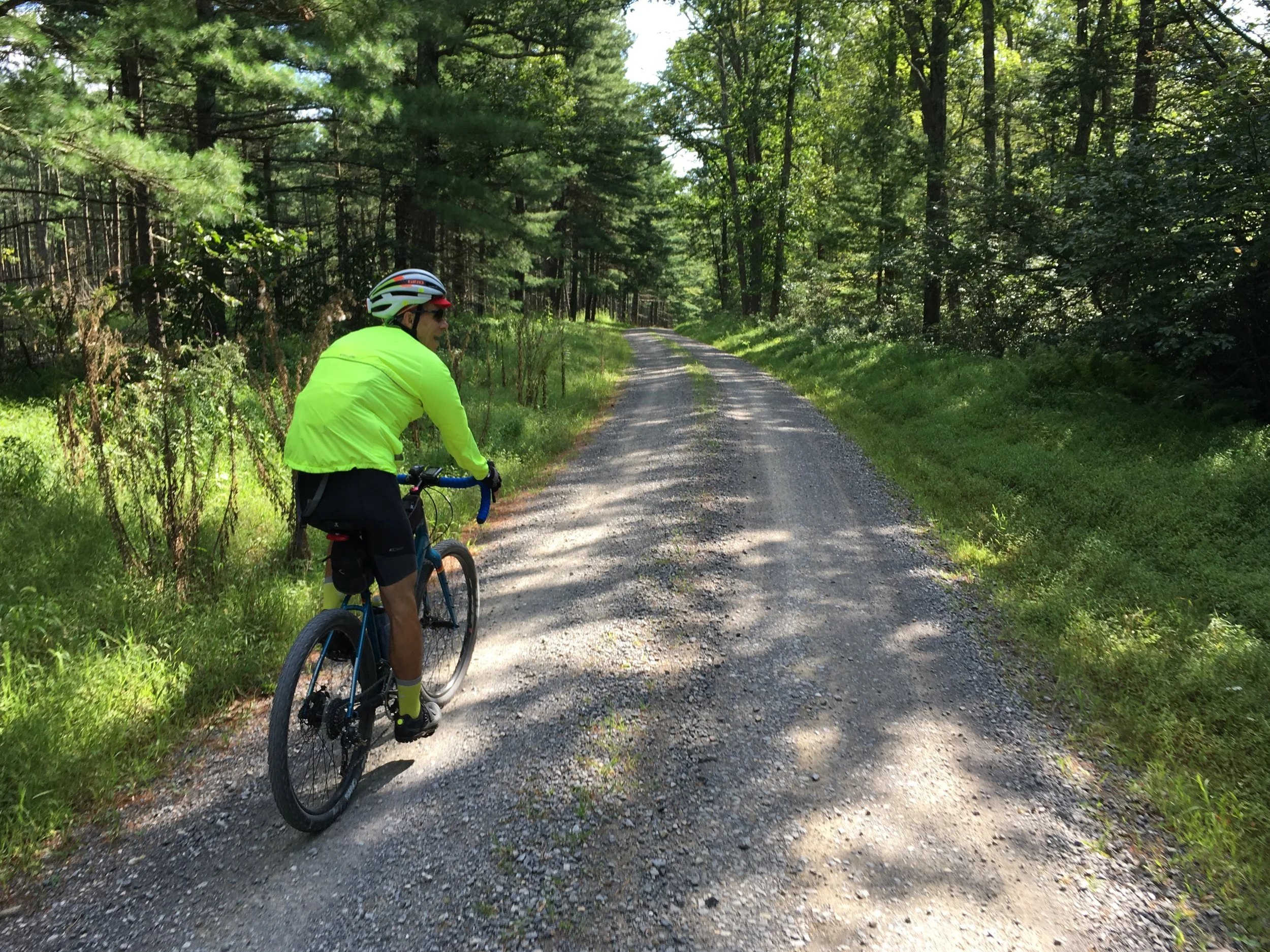
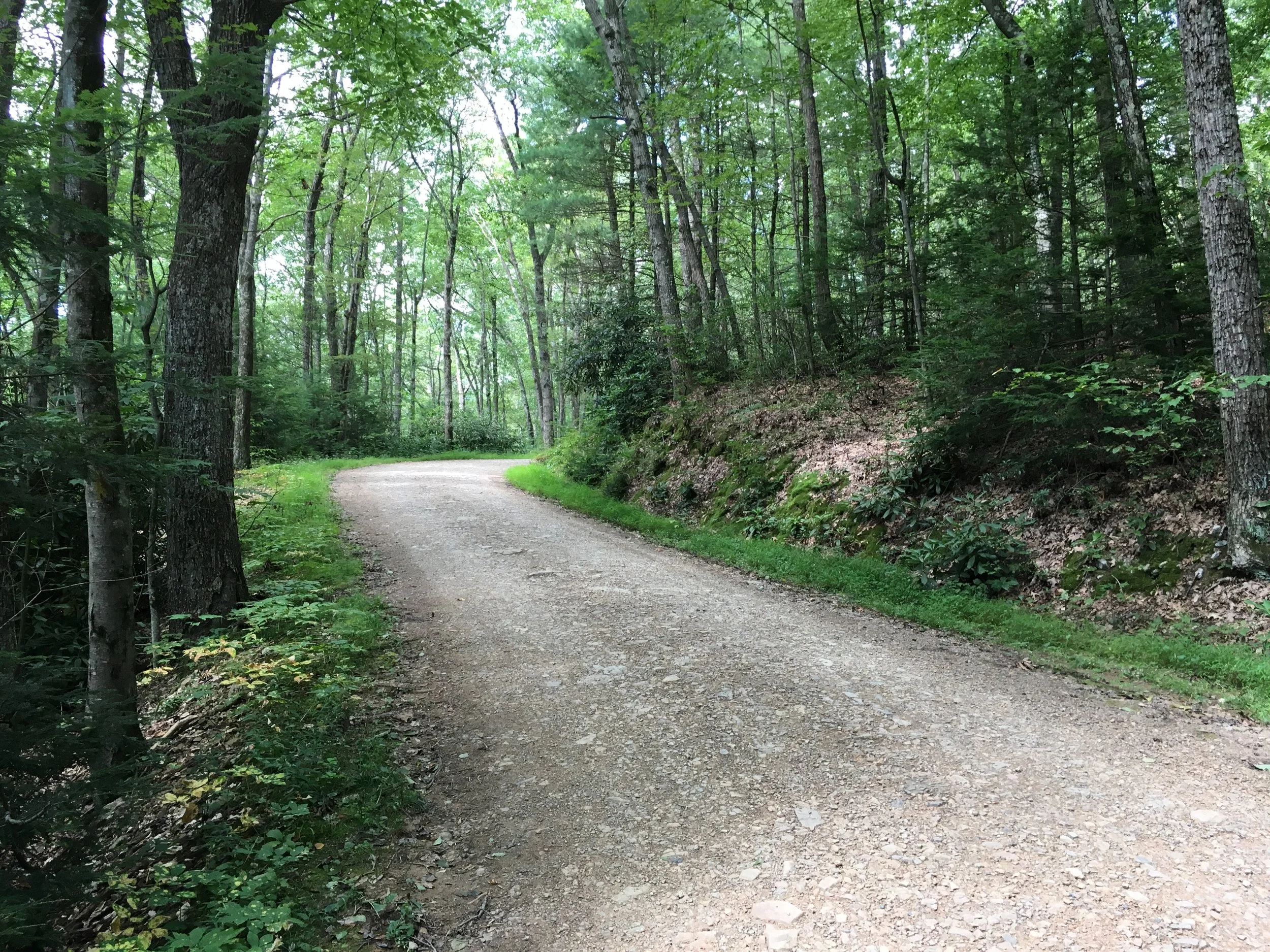
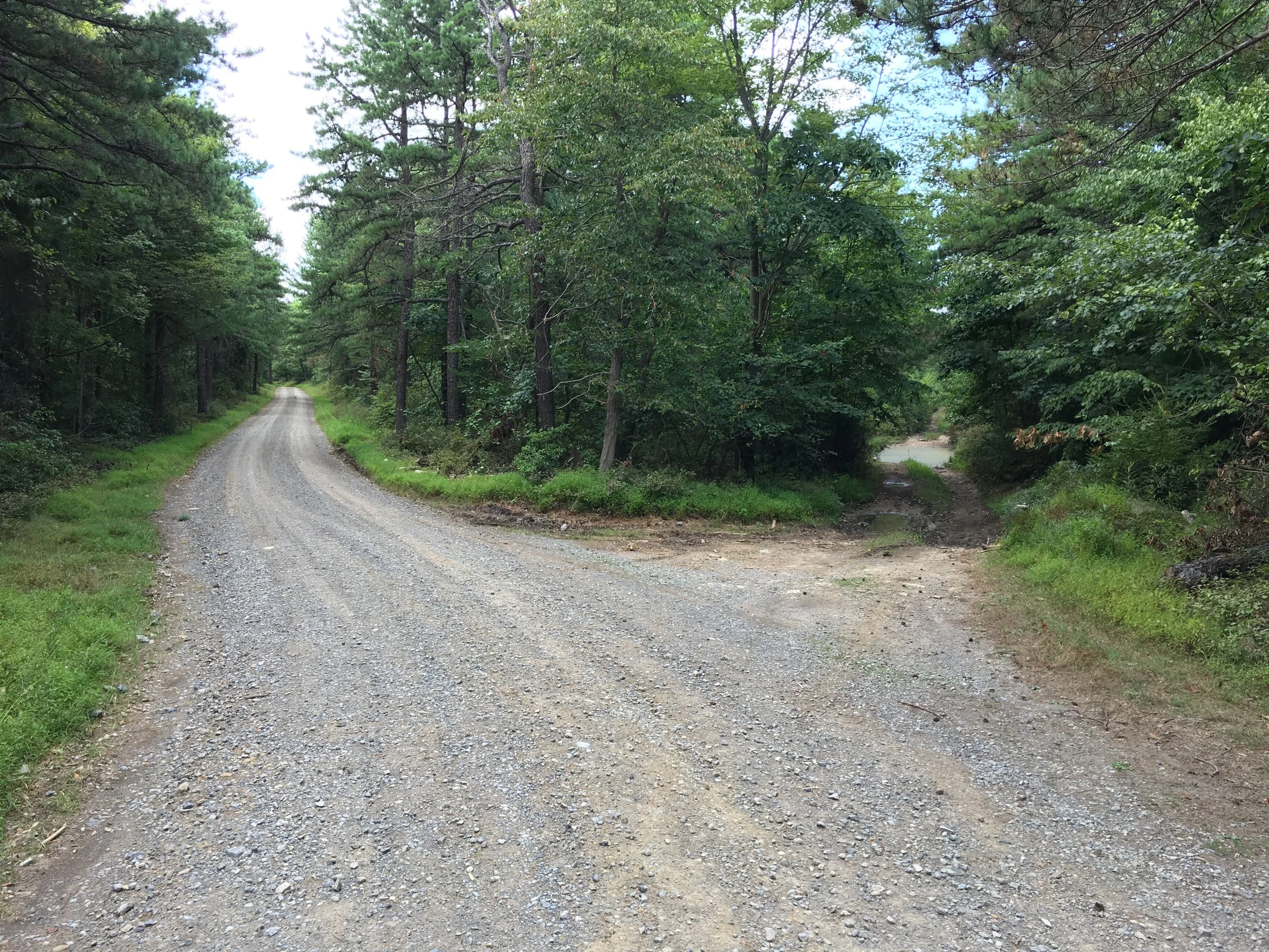
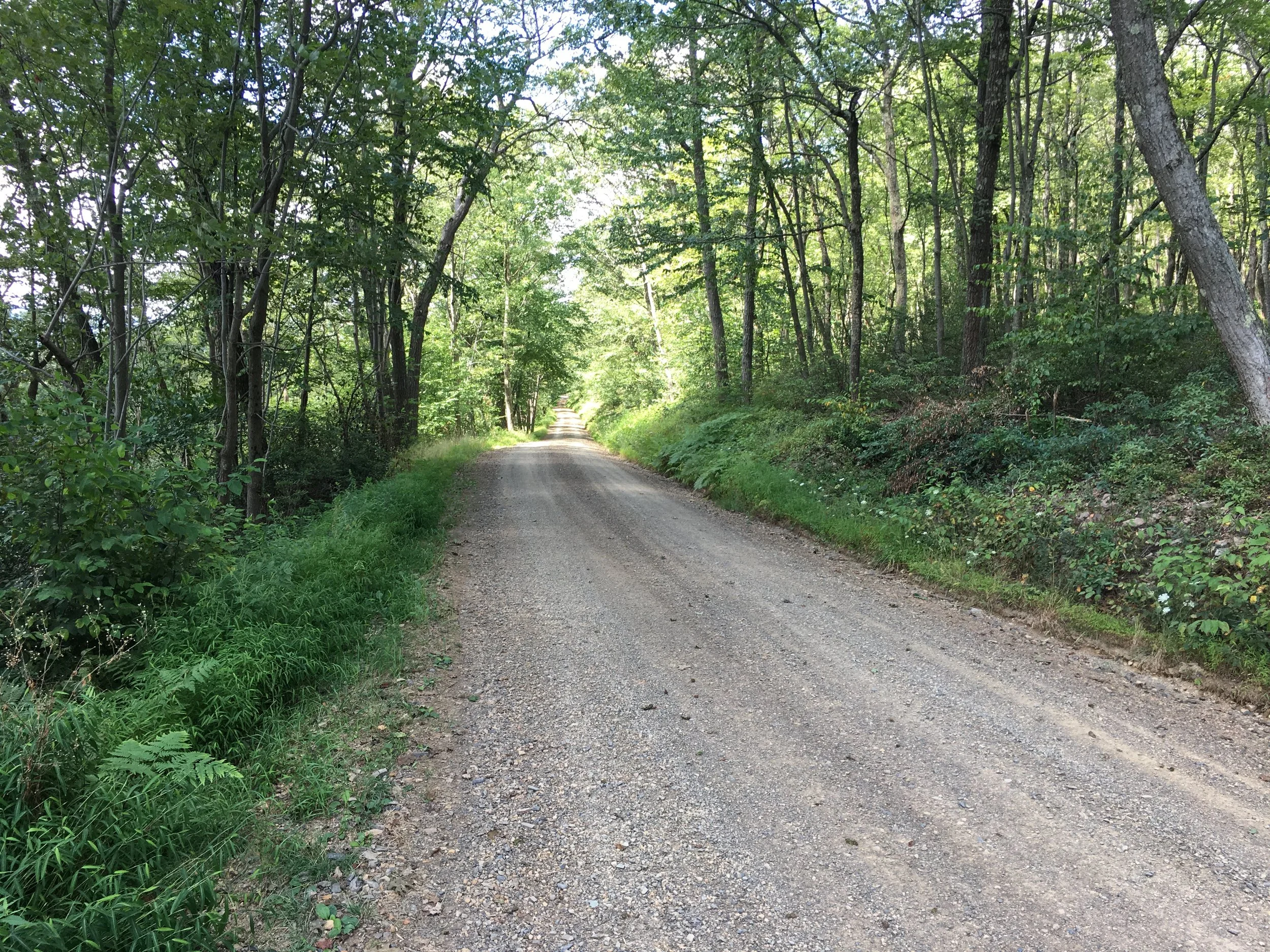
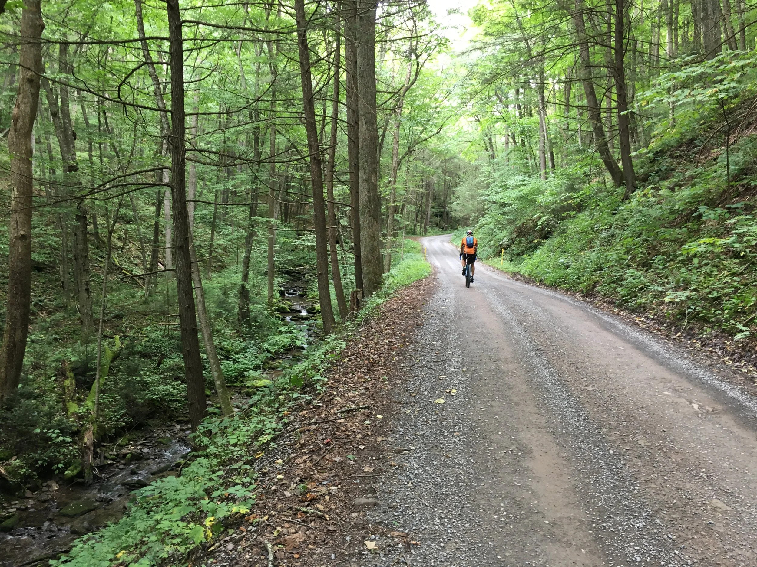
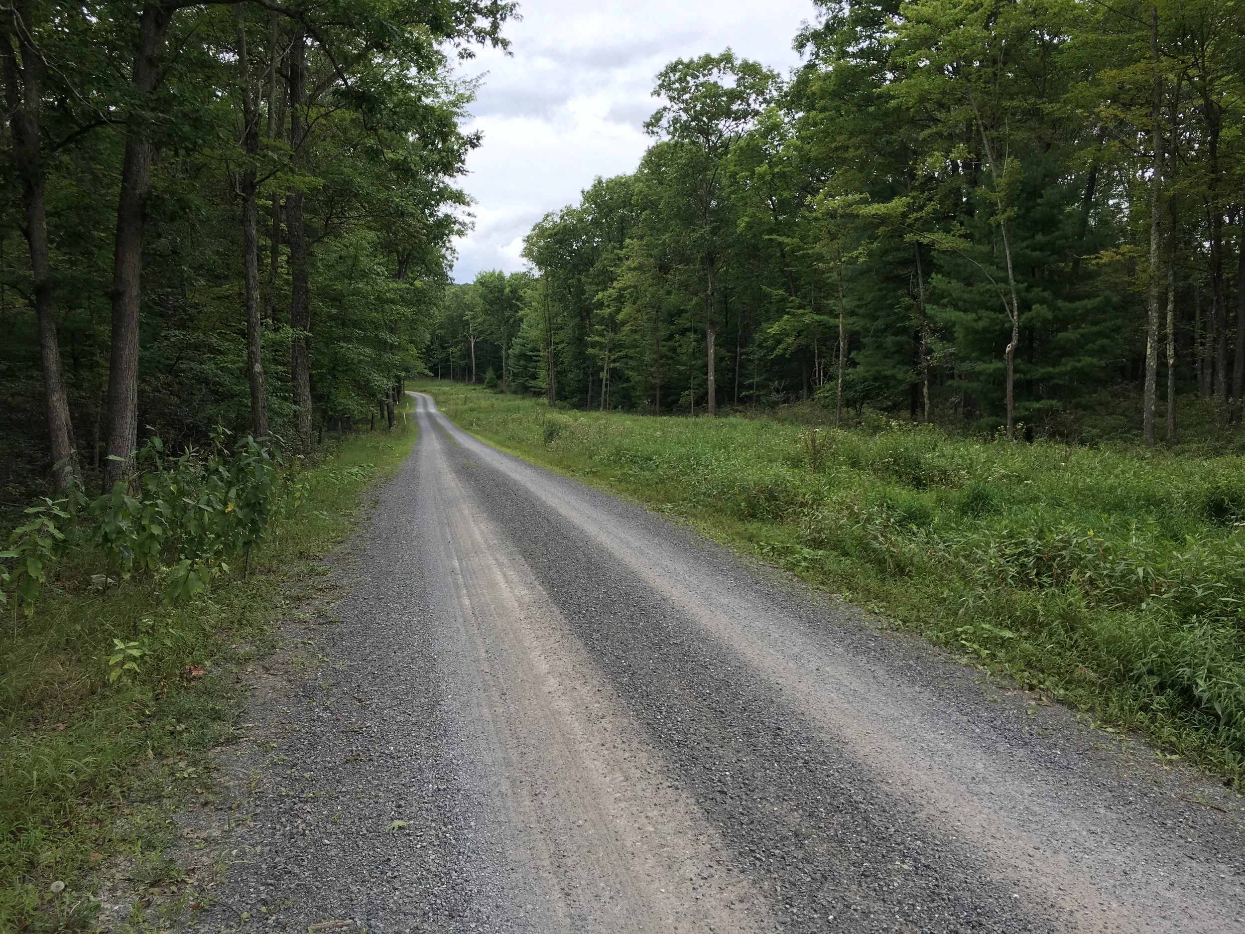
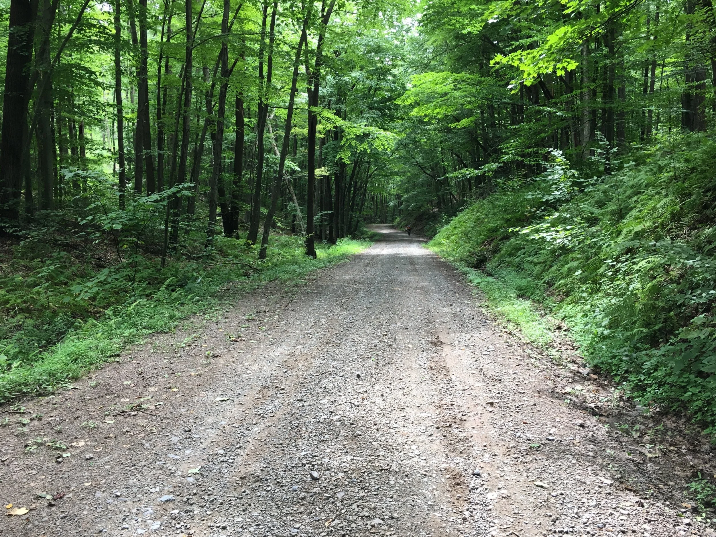
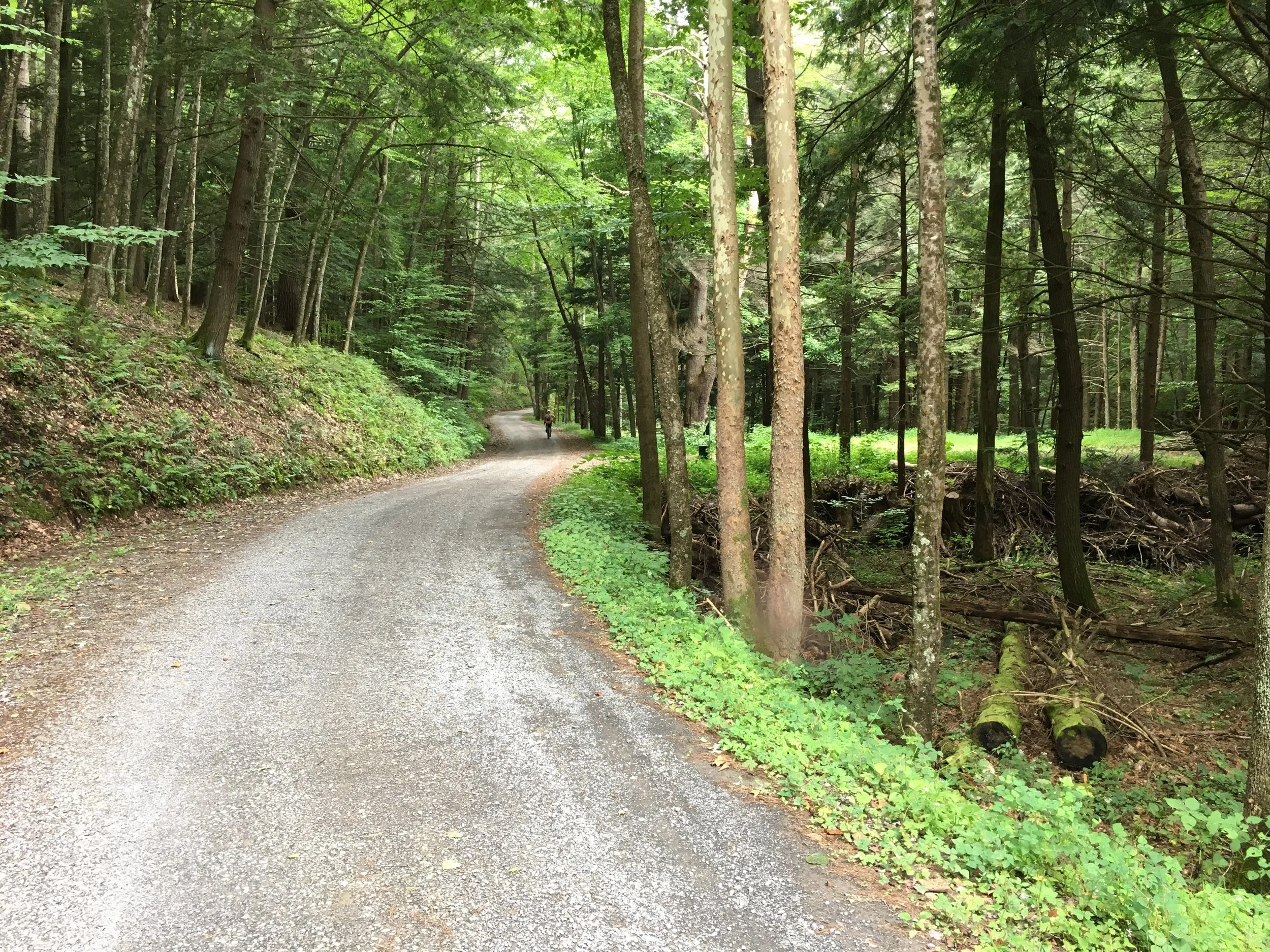
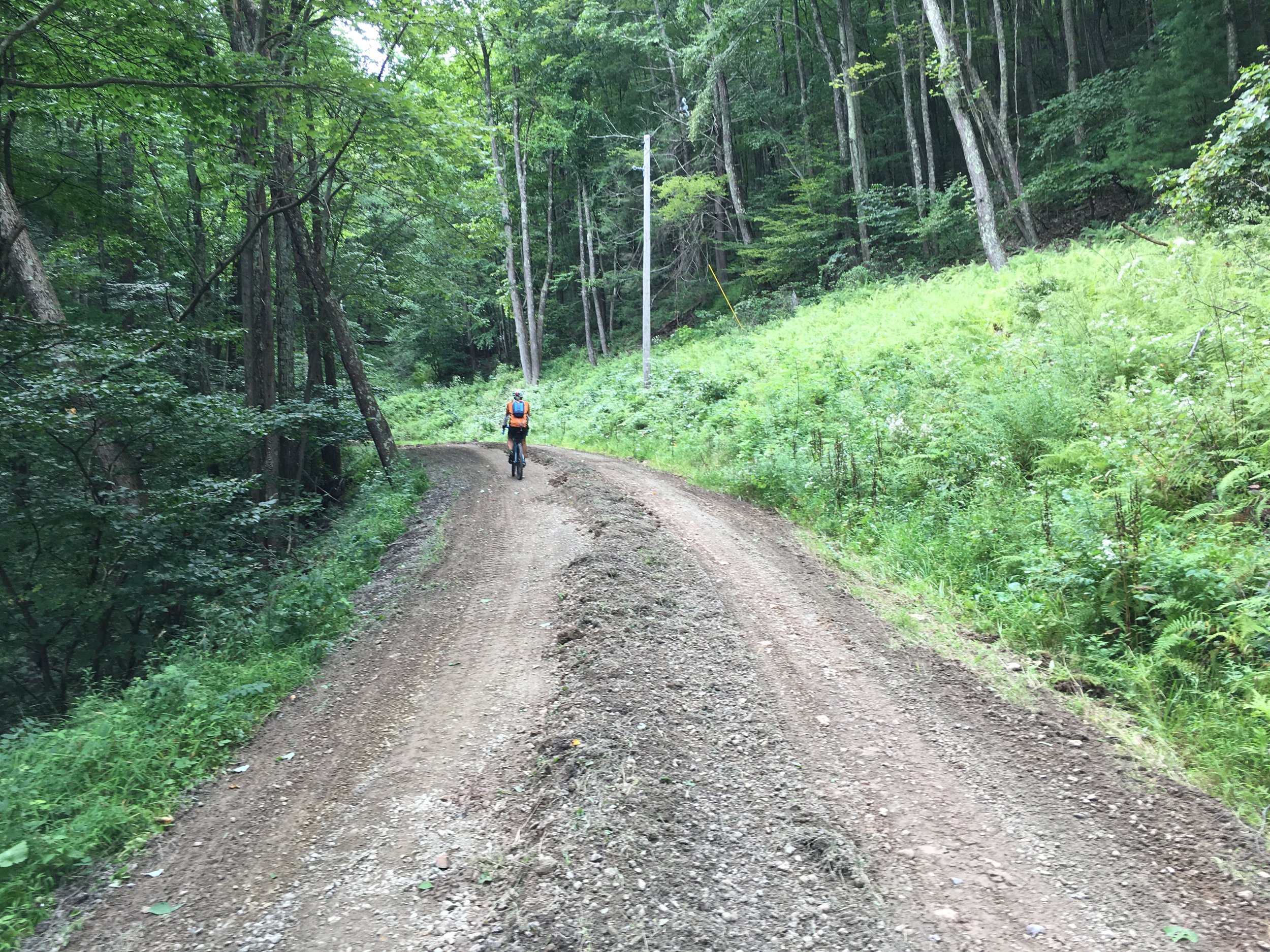
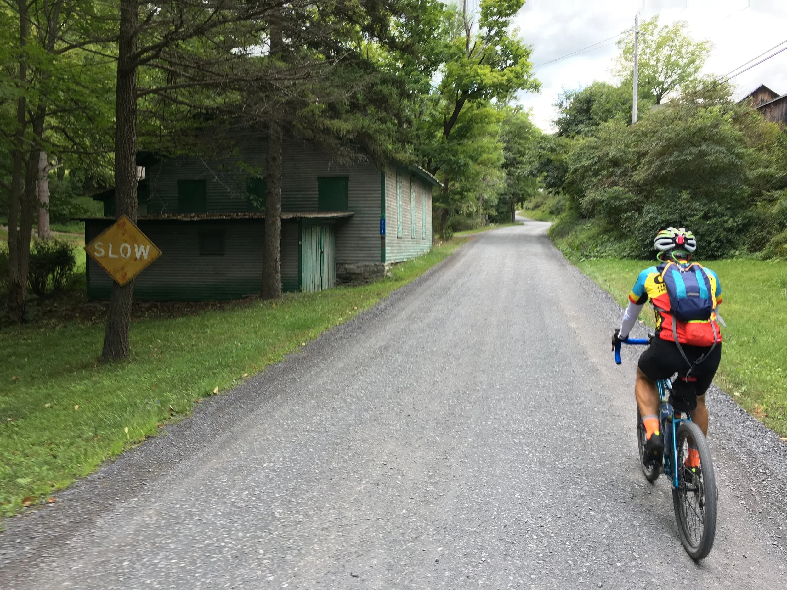
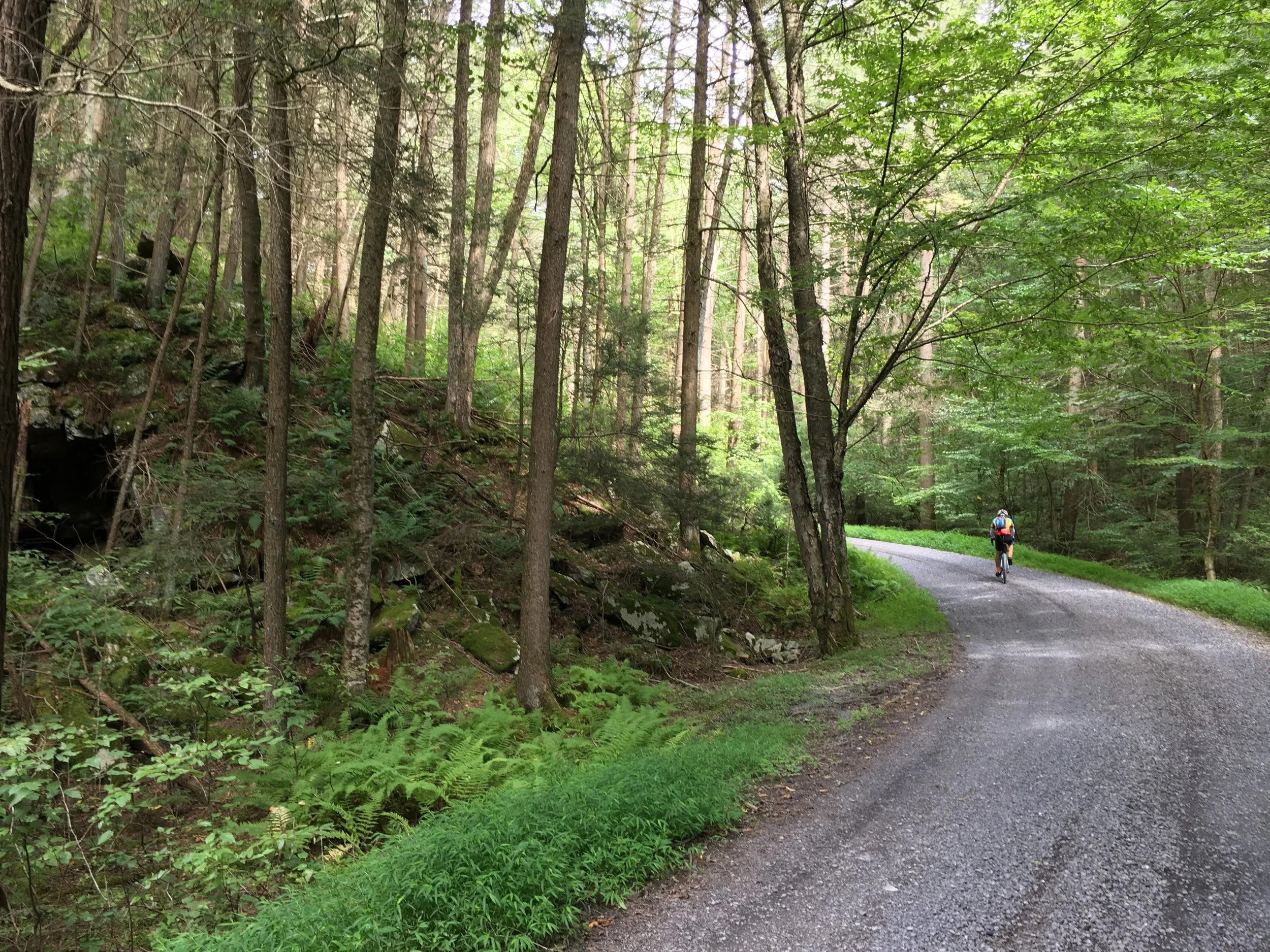
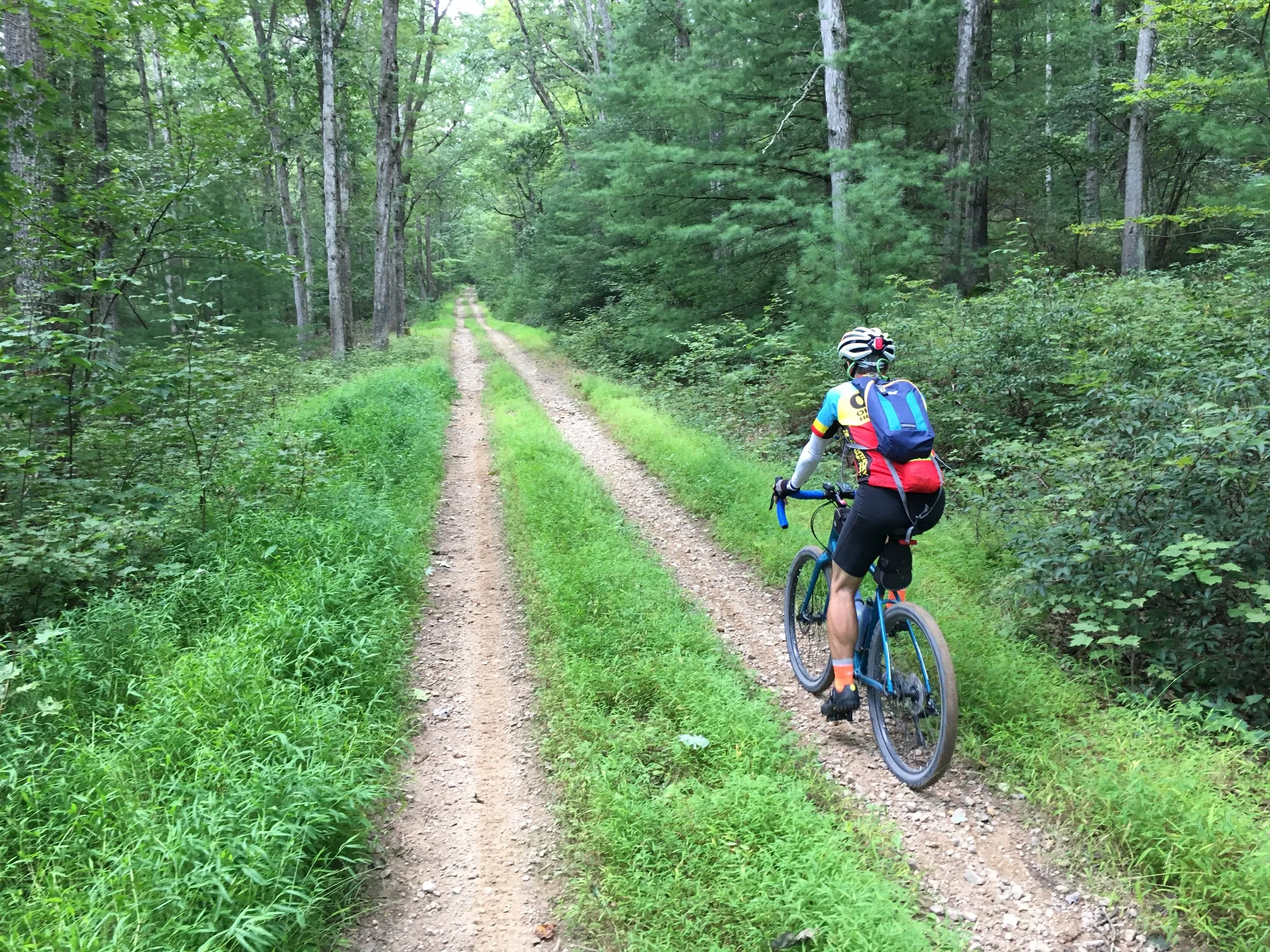
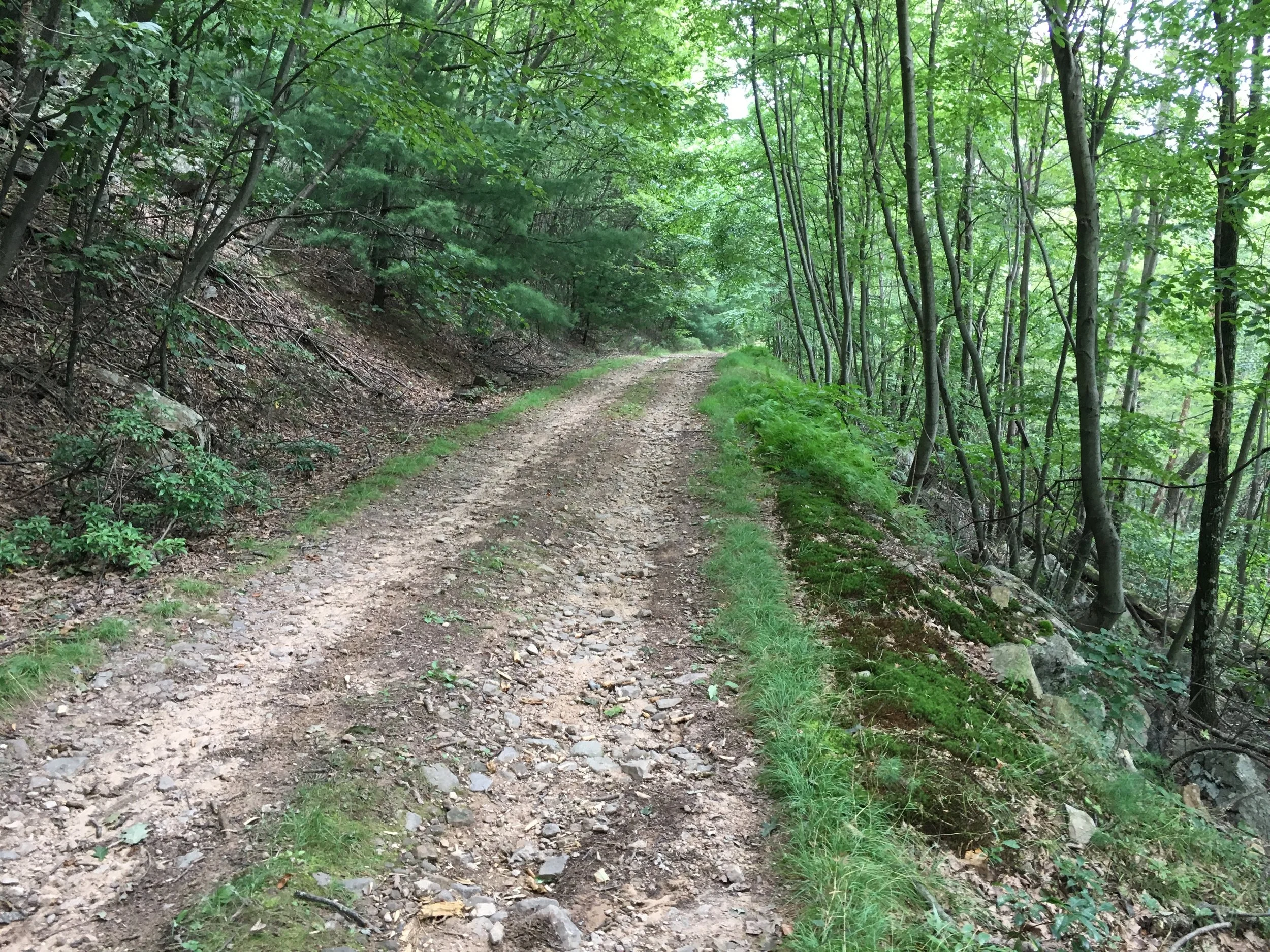
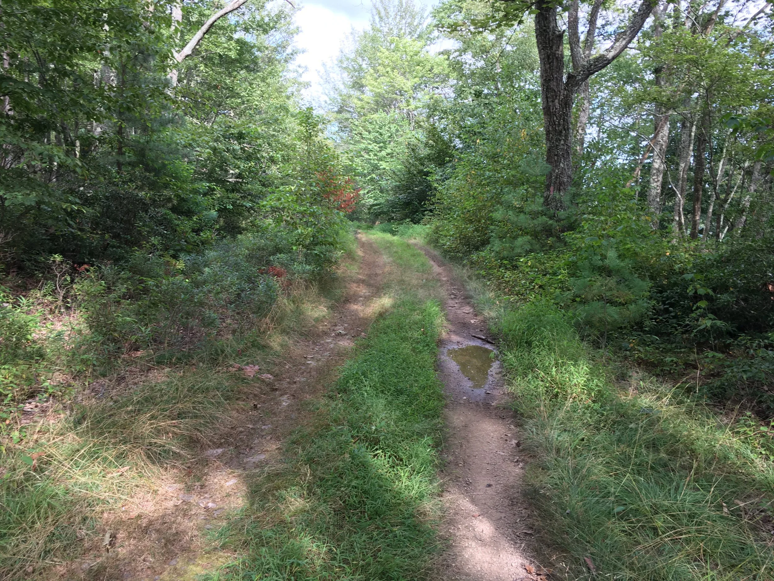
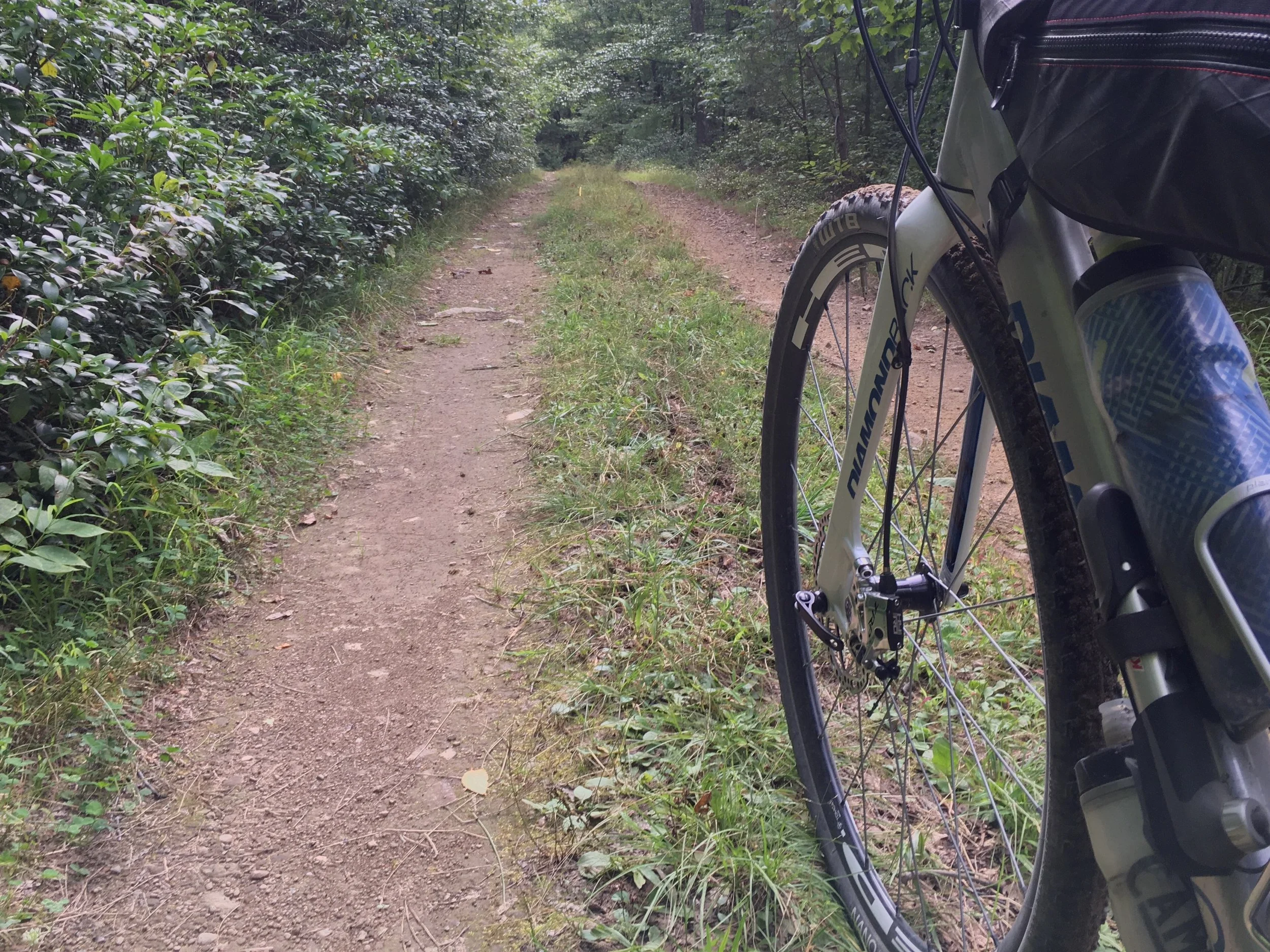
We did three rides, checking out portions of the routes from the Keystone Gravelduro and UnPAved of the Susquehanna events. All were fantastic, and very different from OH riding. We experienced a multitude of surfaces, with all three rides being 90+% unpaved: hero gravel, lightning fast hardpack, loose chunky large rocks chewed up by ORVs, gravel rail trail, double-track, etc. There were plenty of other more adventurous things to explore as well. The climbs are loooooong, as in miles long, but never as steep as Ohio. Expect 5-8% for the majority of it, with only small stretches in double-digits. Every day I was shocked to see that we were "only" averaging 100 feet of elevation per mile; it felt like much more since the climbs were so long. The descents were just as long, though! Many of these were too rocky to go fast on, though, so we learned that our average speed was much lower than on rides in OH due to this and all the extended climbing.
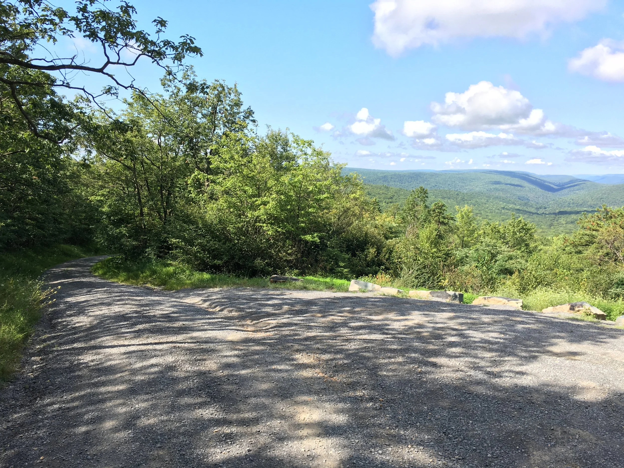
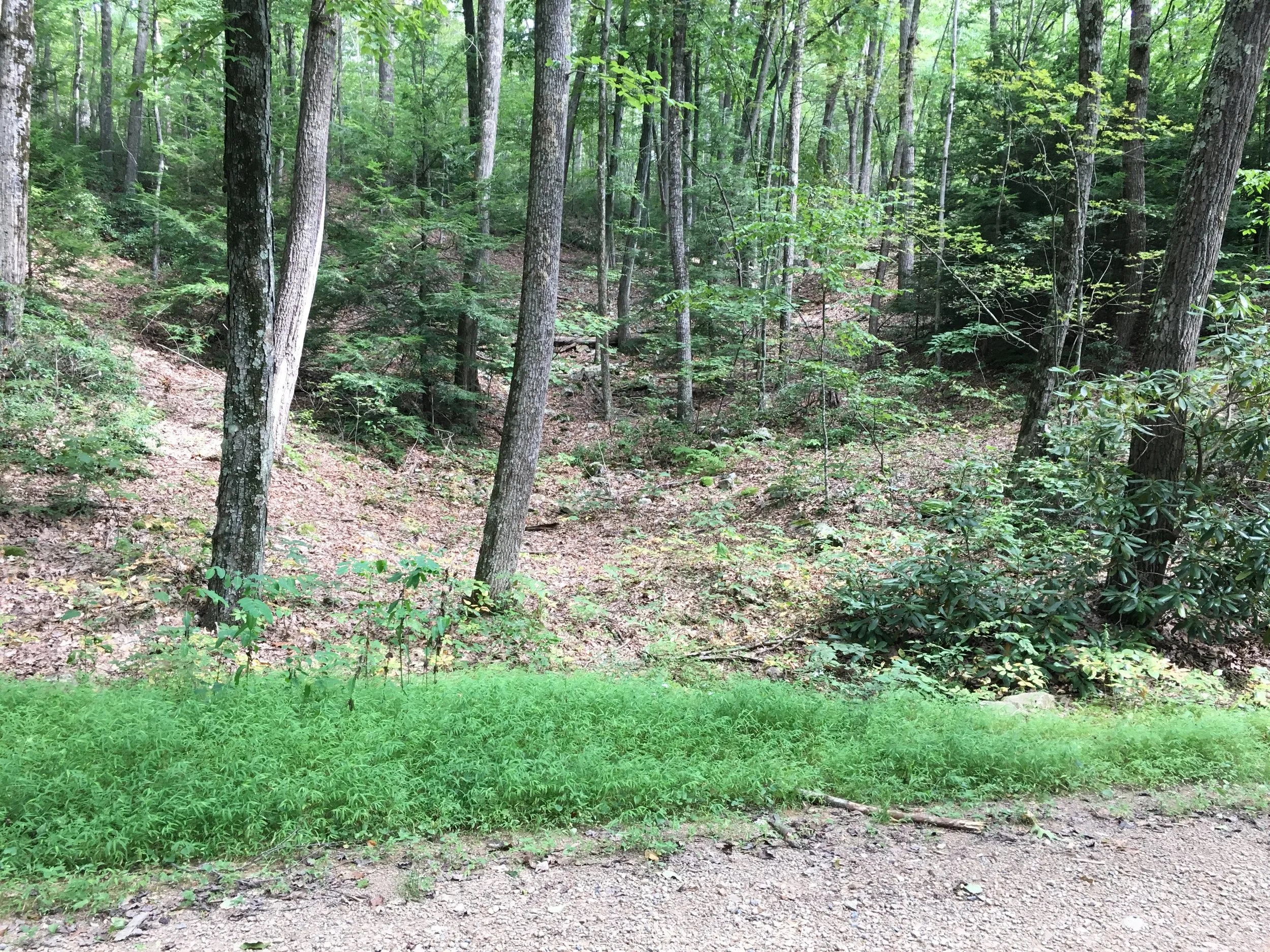
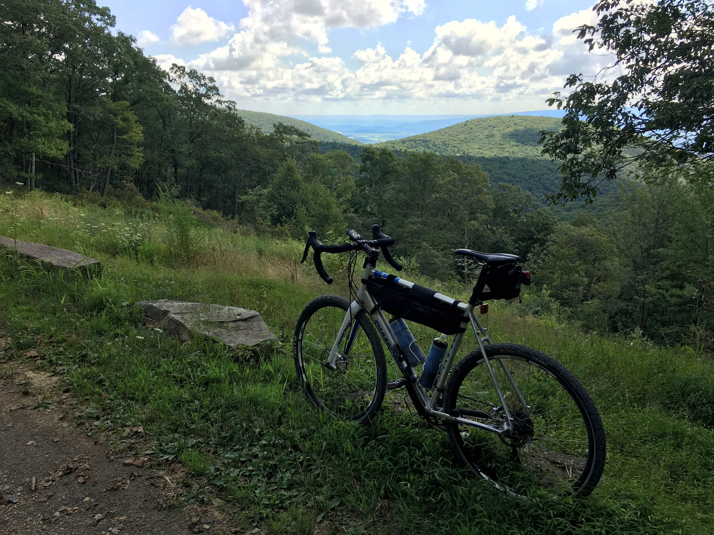
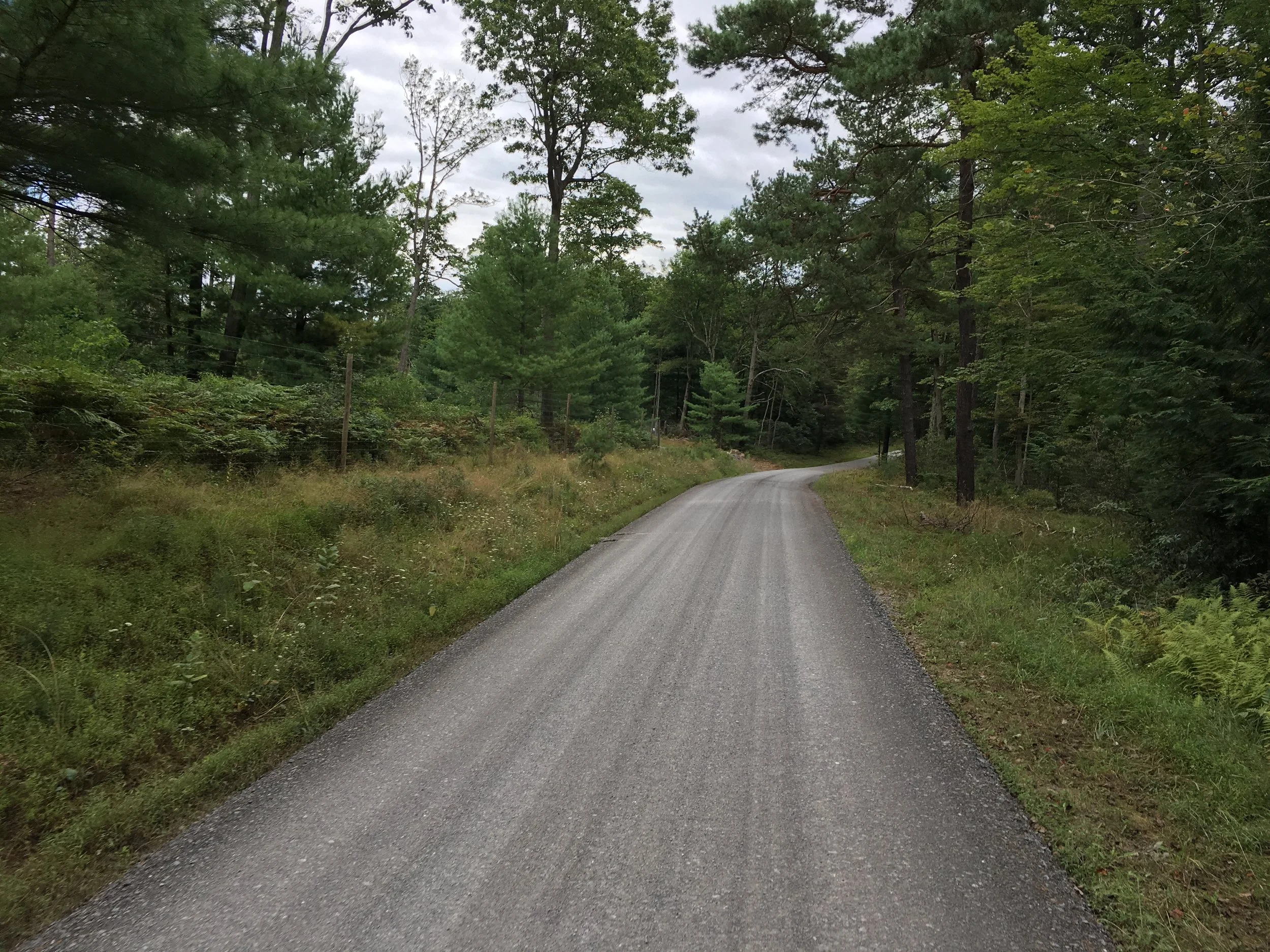
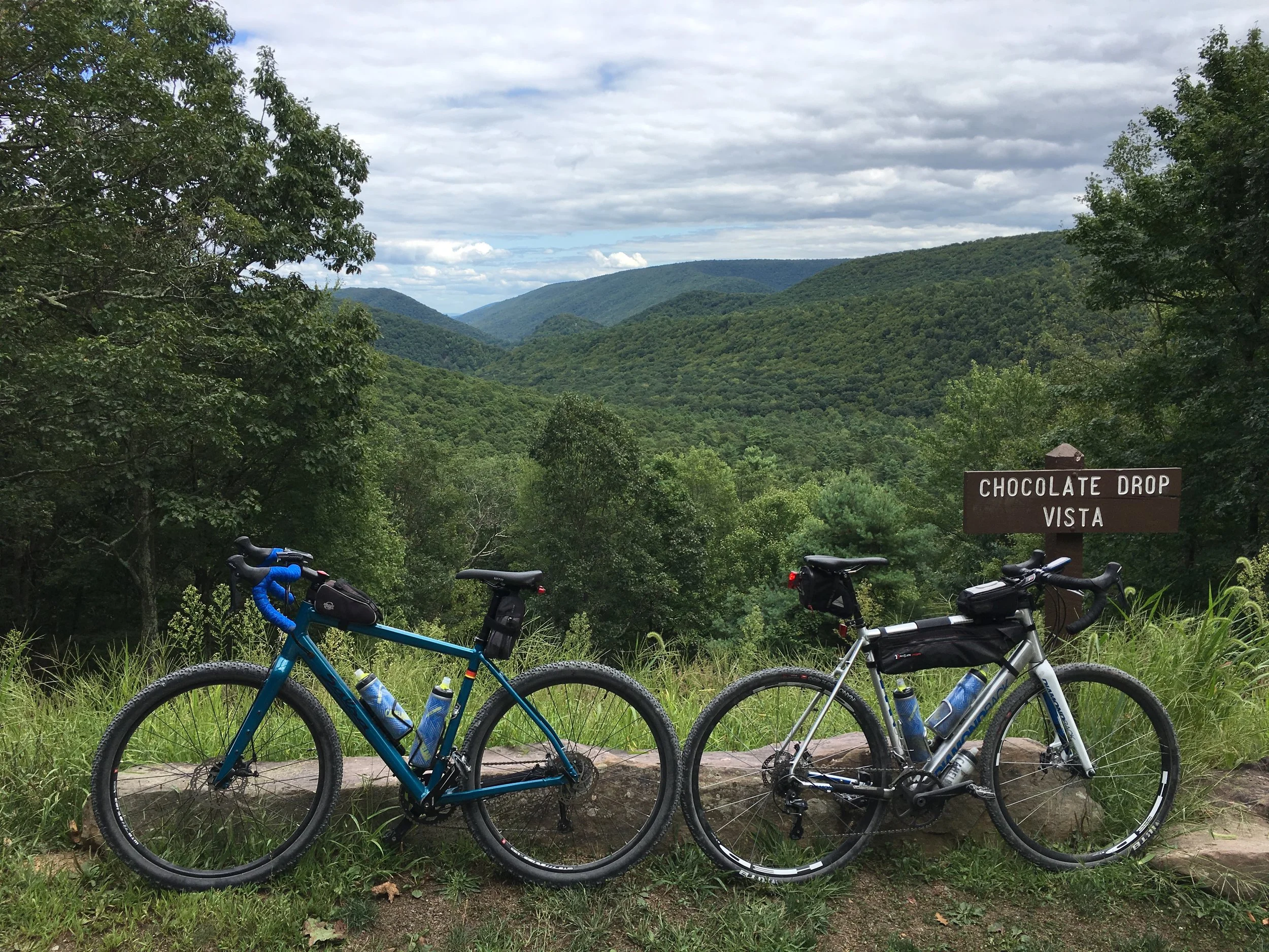
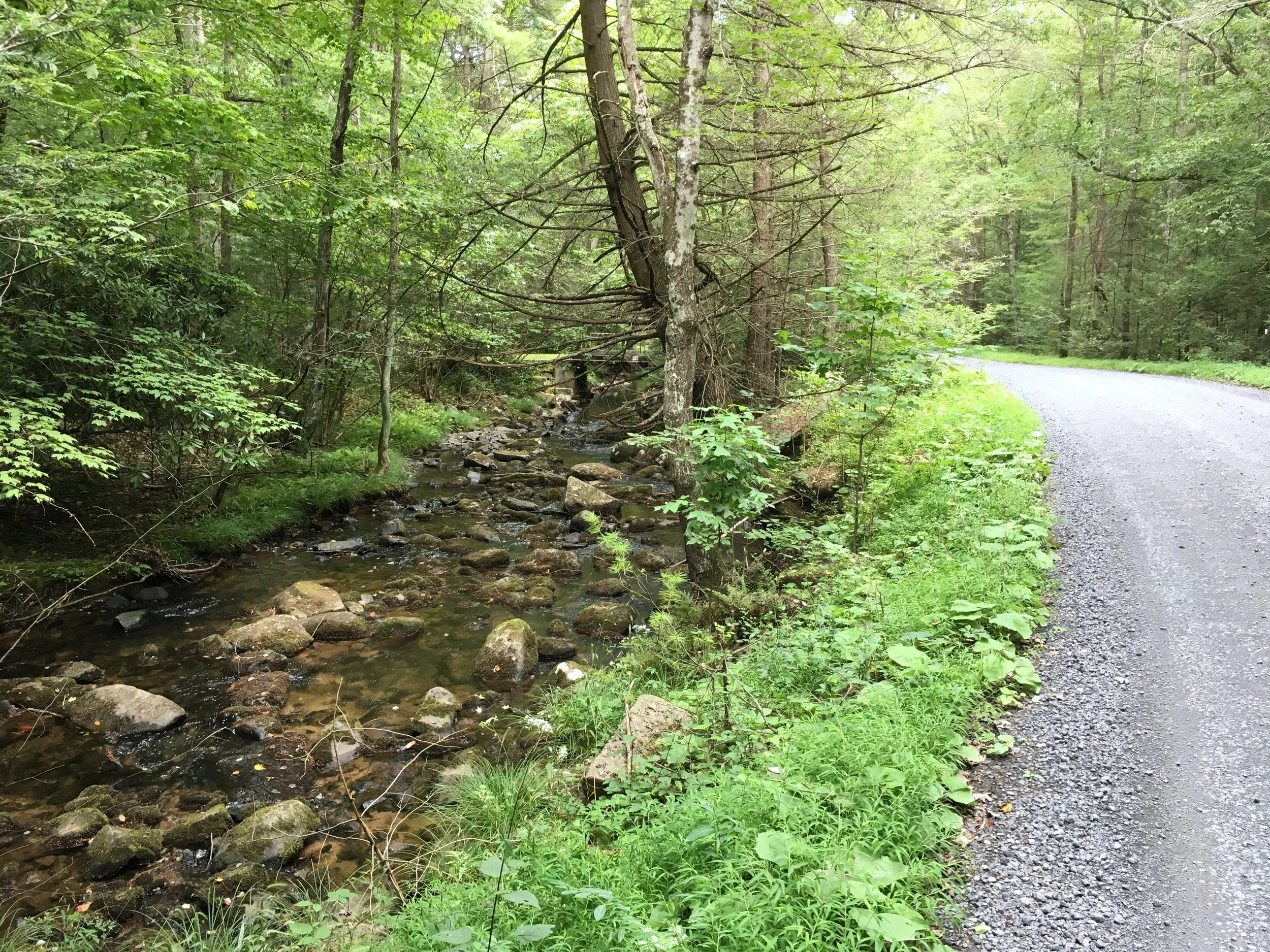
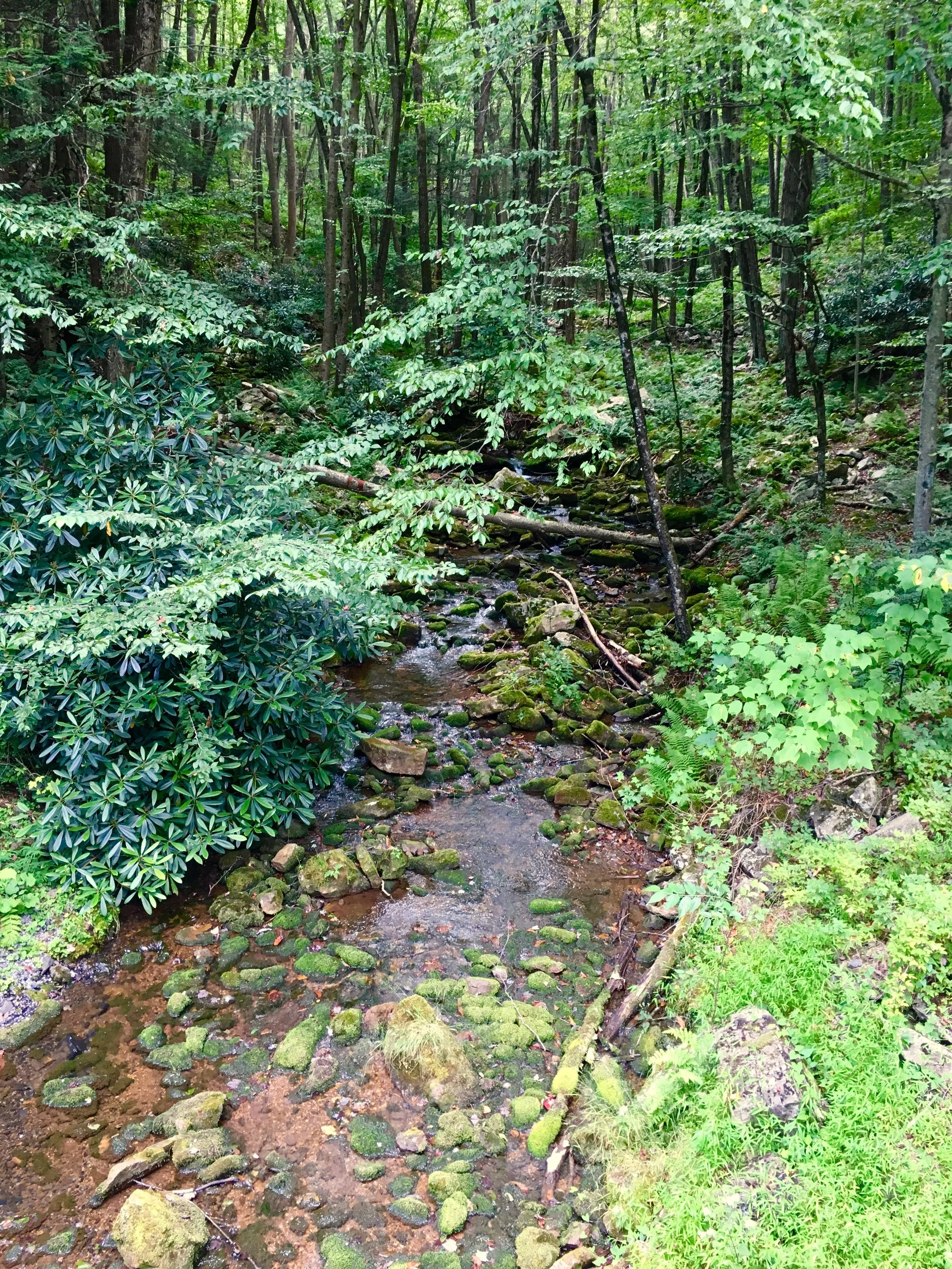
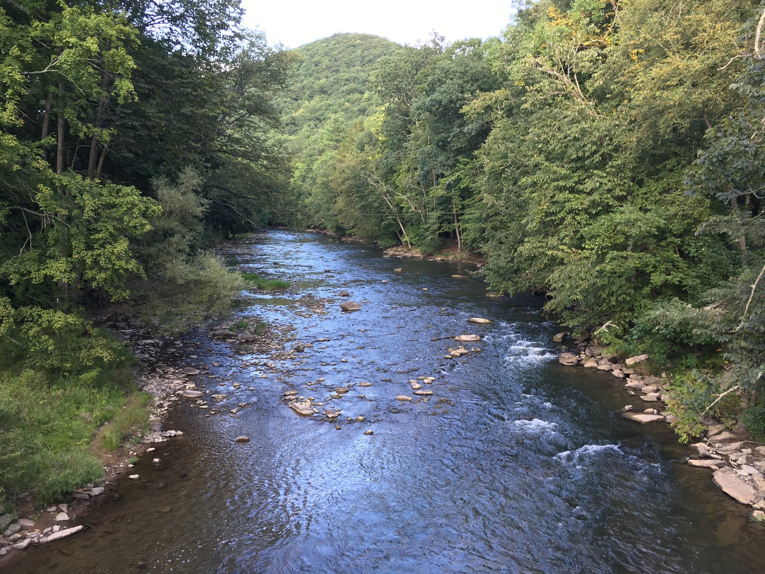
Most of the time we were in a tunnel of trees, sometimes with a babbling brook to keep us company. Every now and then there would be a cleared vista at the top of a climb, but in general you weren't getting wide open views on these routes. We were mostly in state forests, so this wasn't too surprising. There are plenty of other areas to ride in beautiful farmland if you want to mix up the view, though the roads were paved in these areas.
We stayed in Lock Haven, which was quite nice, having a well-kept historic downtown and plenty of good food and bar options. Williamsport, Lewisburg, and Mifflinburg also looked appealing. State College is about 30-45 minutes west and would be an option too, as I've ridden in Rothrock State Forest near there on a previous trip. From any of these towns you'll be driving to ride start locations in most cases, but if you camped in one of the state parks (or we saw tons of cabins) you could ride right out the front door to lots and lots of gravel.
I want to give a special shout-out to Brookside Bikes in Mifflinburg for coming to my rescue when I had an issue with my back brake. They were quick, knowledgeable, and super friendly! Pay them a visit if you're ever out that way. Be forewarned, though, the shop is on a farm, so you may be confused pulling up!
Day 1 - Keystone Gravelduro Partial
43 miles, 4500 feet of climbing
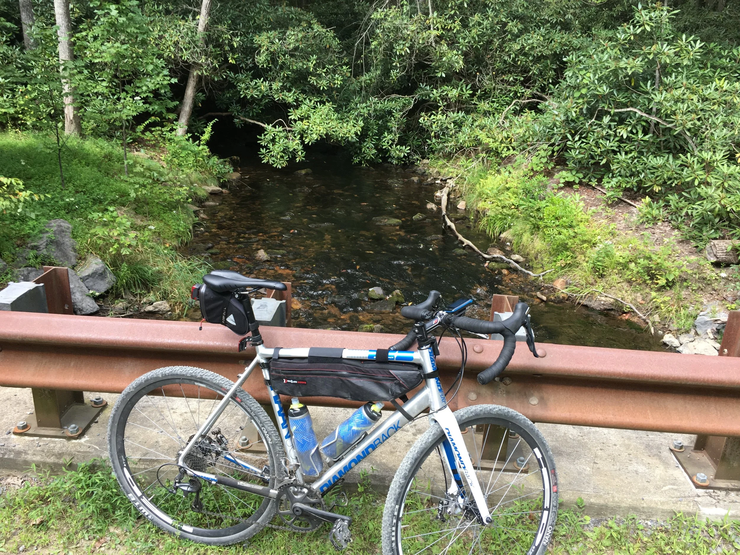
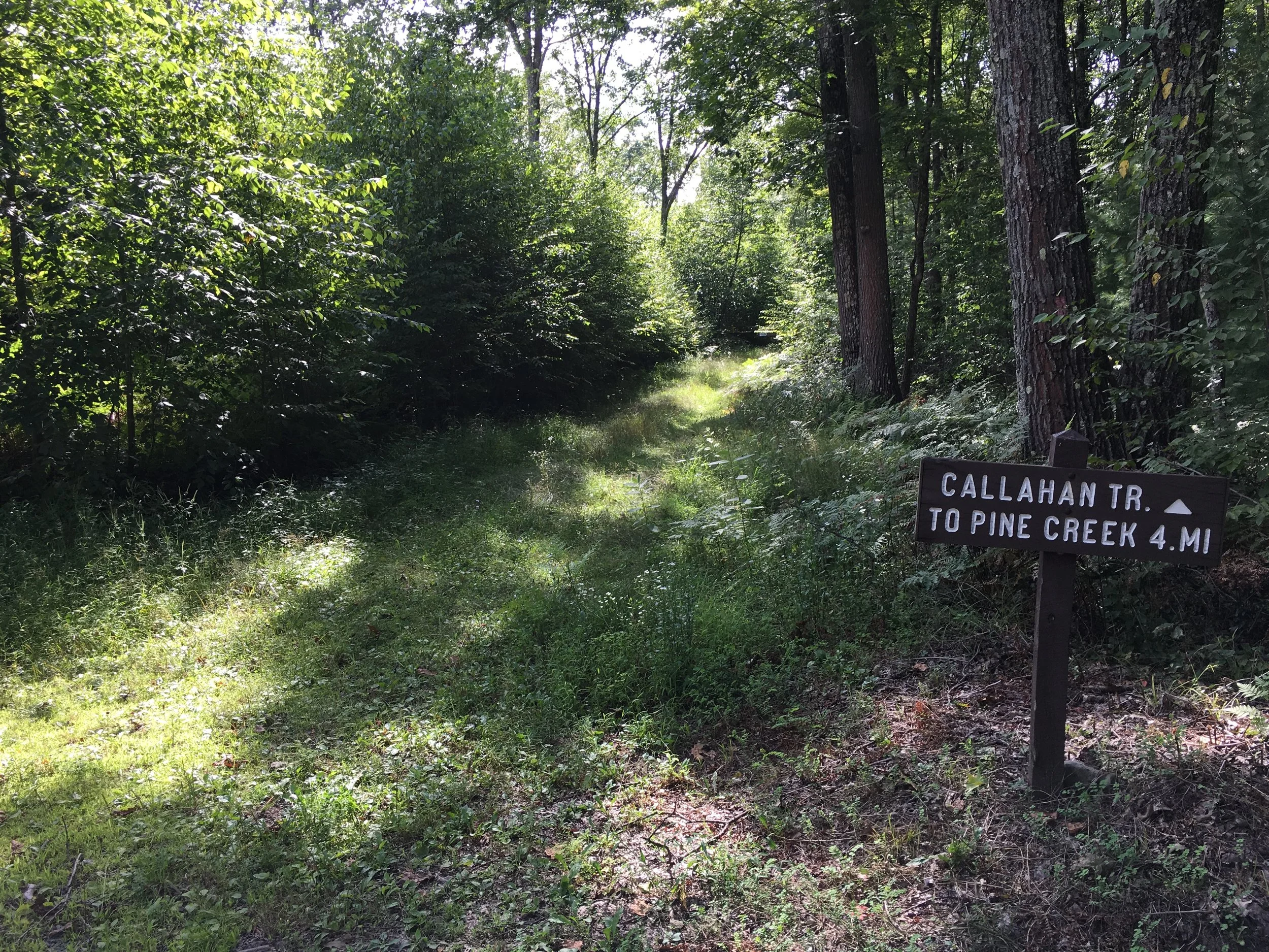
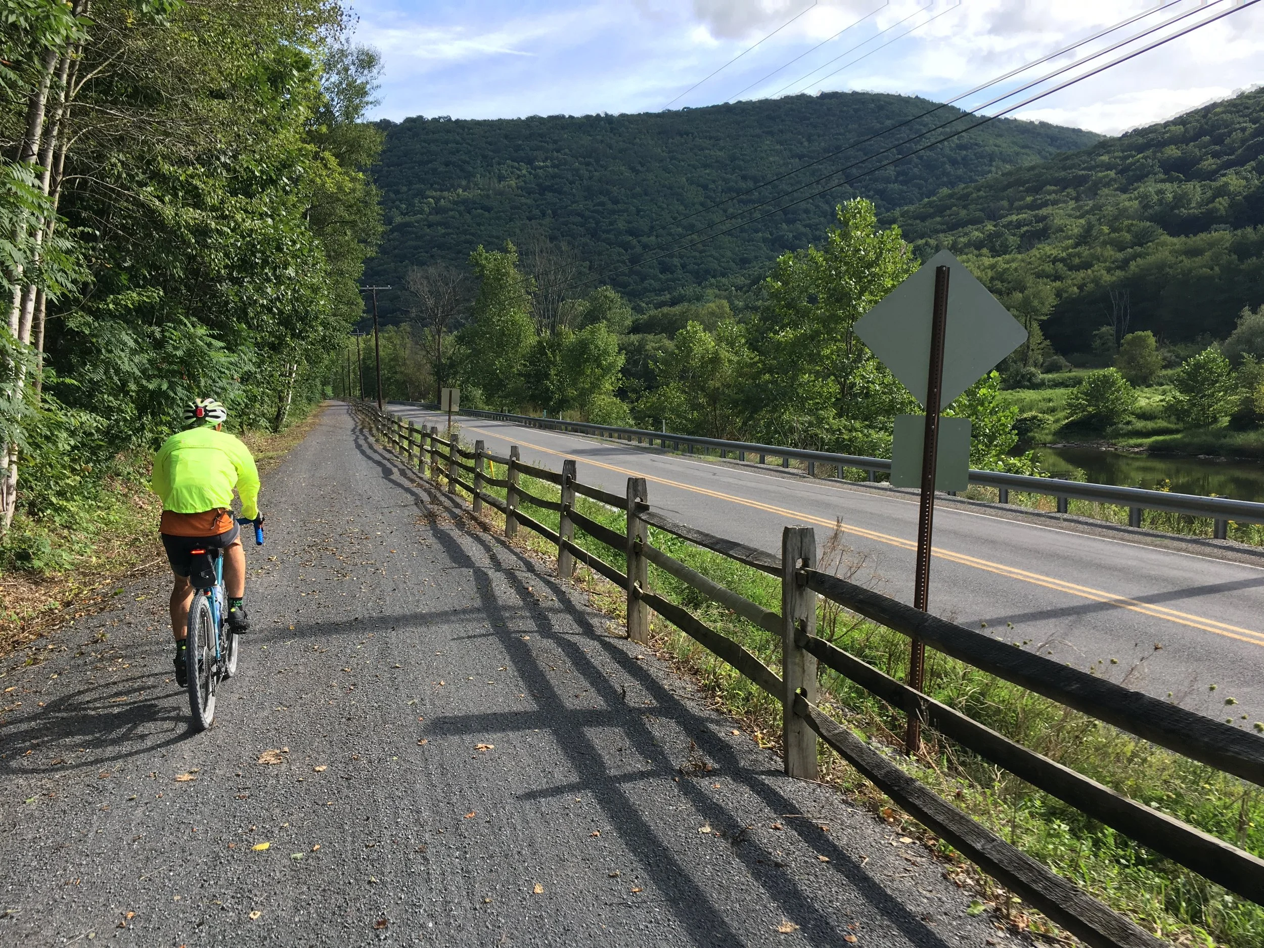
As the actual event starts on a private farm and we weren’t going to have time to do the whole 80-mile route after completing the drive in that morning, we elected to start in Waterville and do the most interesting looking parts of the northern portions of the route. There is a nice tavern/restaurant/hotel and a country store in town if you need. We parked at a very nice lot for the Pine Creek Rail Trail just north of town. According to one person we talked to, the trail is 60 miles long. It has a nice crushed limestone surface and many pretty old trestle bridges.
Immediately we got our first taste of PA gravel and climbing: long and steady. After heading uphill for 3 or so miles (the first of three big climbs on the route) we joined the event route. This is natural resource (gas it seemed mostly) country, and the roads were all in good shape with recent gravel to accommodate the trucks. Thankfully we didn't have to deal with any traffic.
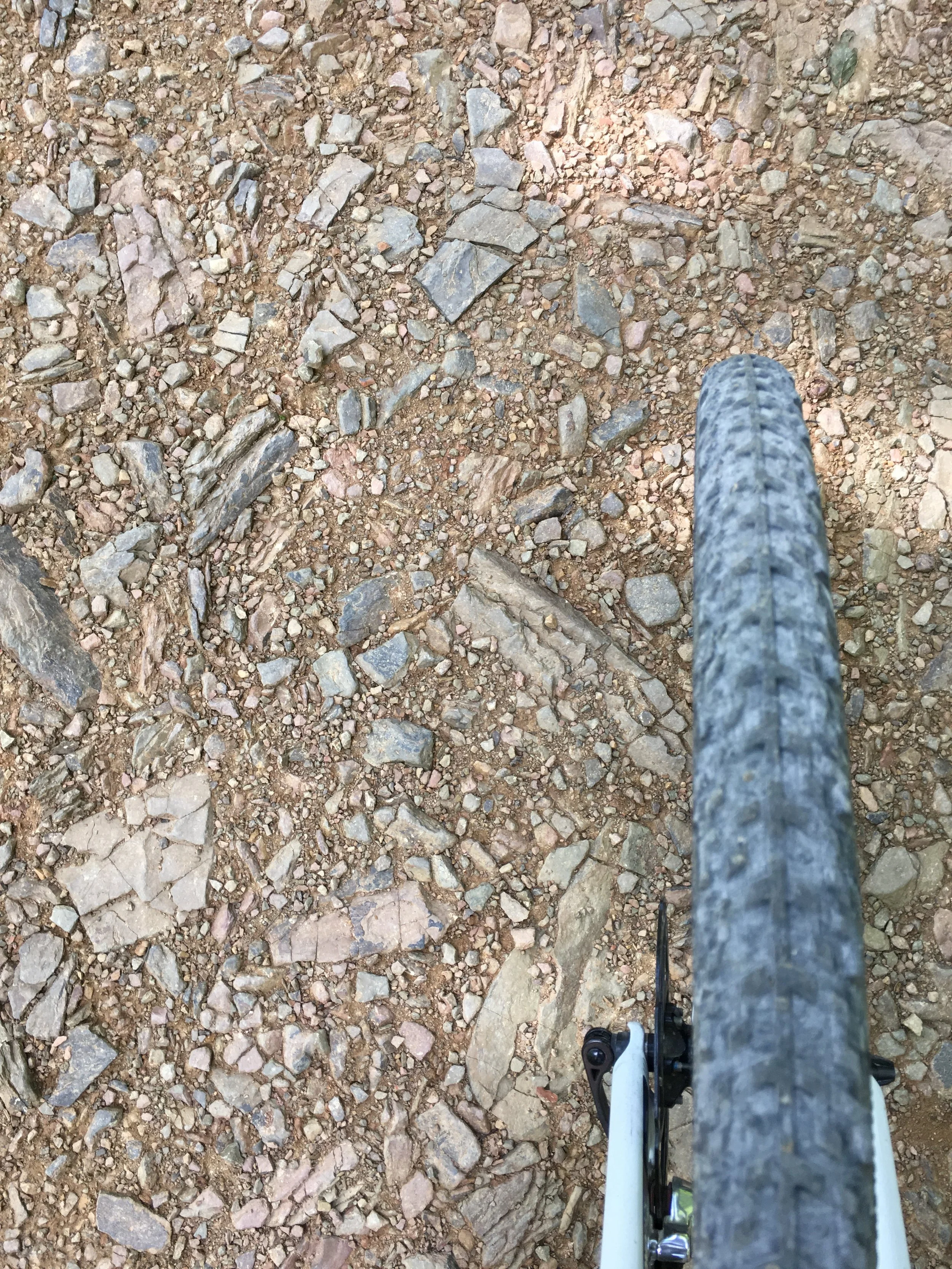
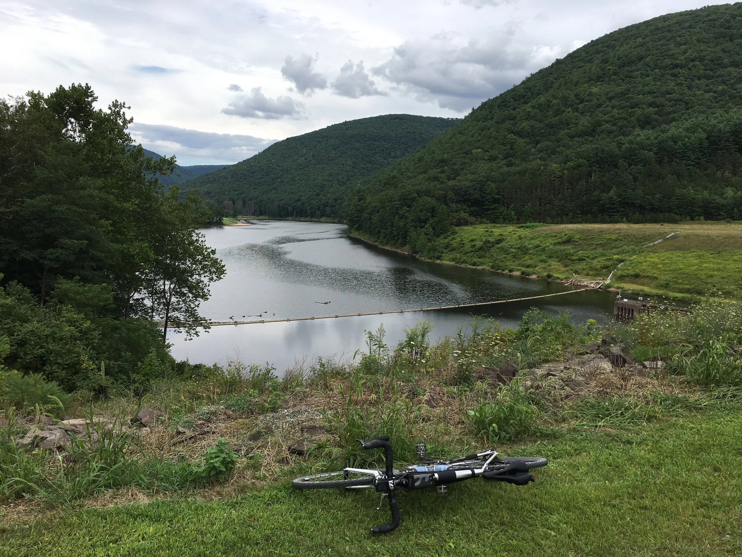
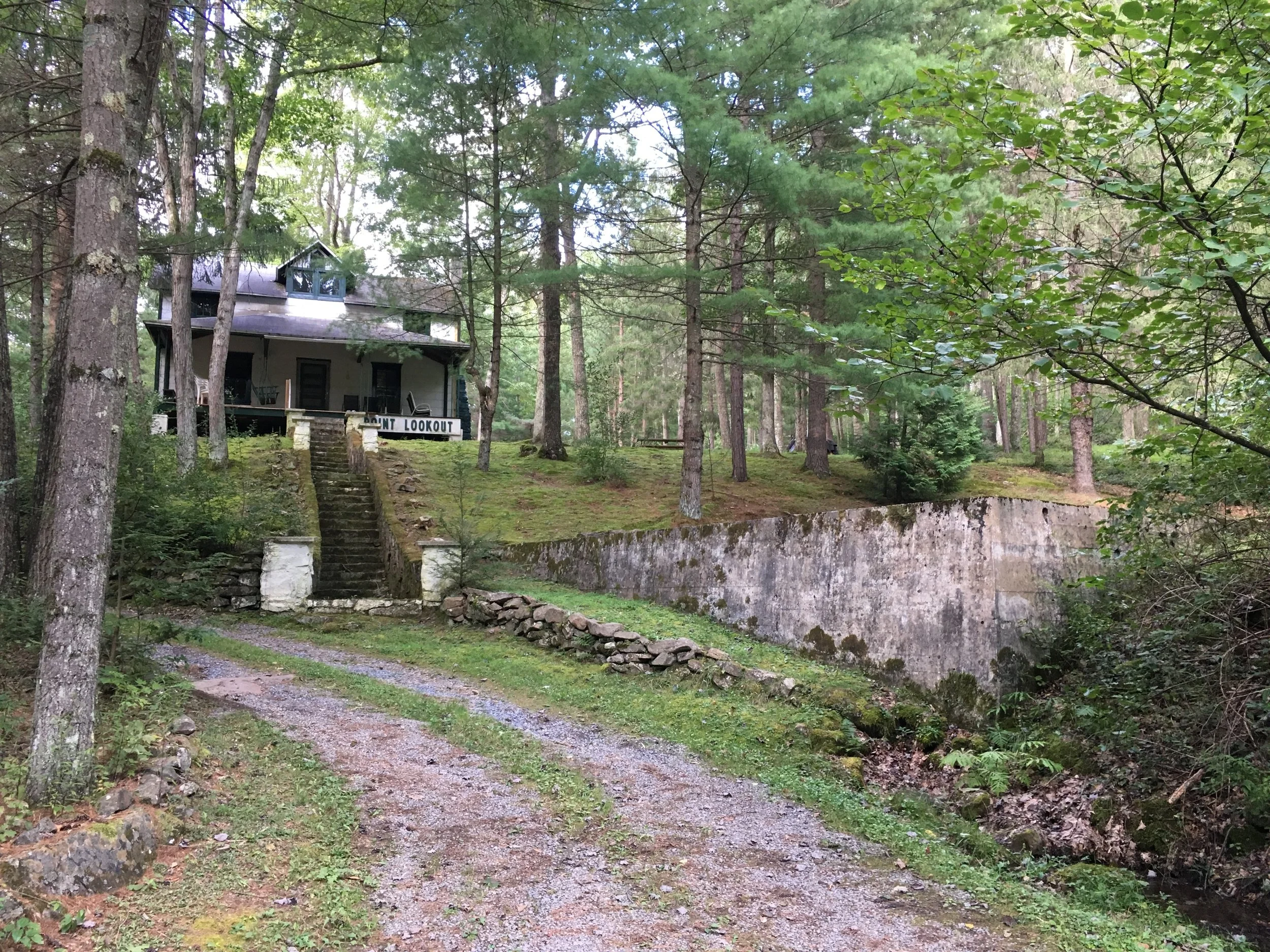
After meandering around the ridge top we descended into Little Pine State Park. This is where we learned another critical lesson for the weekend: we often couldn't descend very quickly due to road conditions (larger rocks), meaning that our average speed plummeted due to chugging along at 4mph on the extended climbs. Our hands also got quite work out from all the braking to control speed when dropping 1000+ feet! We stopped in the state park to eat lunch but kept moving because it was surprisingly cold! We elected to skip the double-track and creek crossing on the east side of the lake but did check out the top of the dam--great views and even some picnic tables.
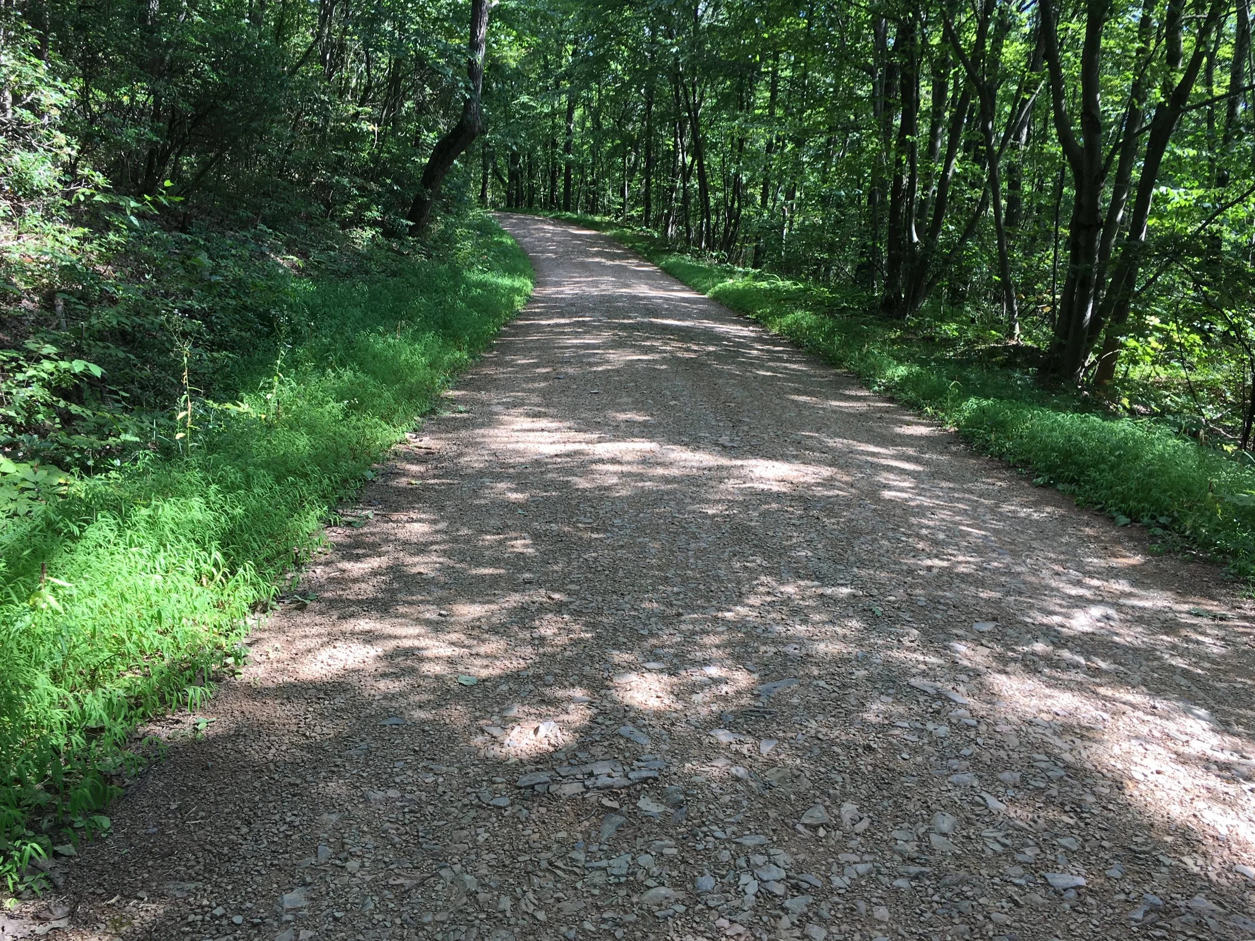
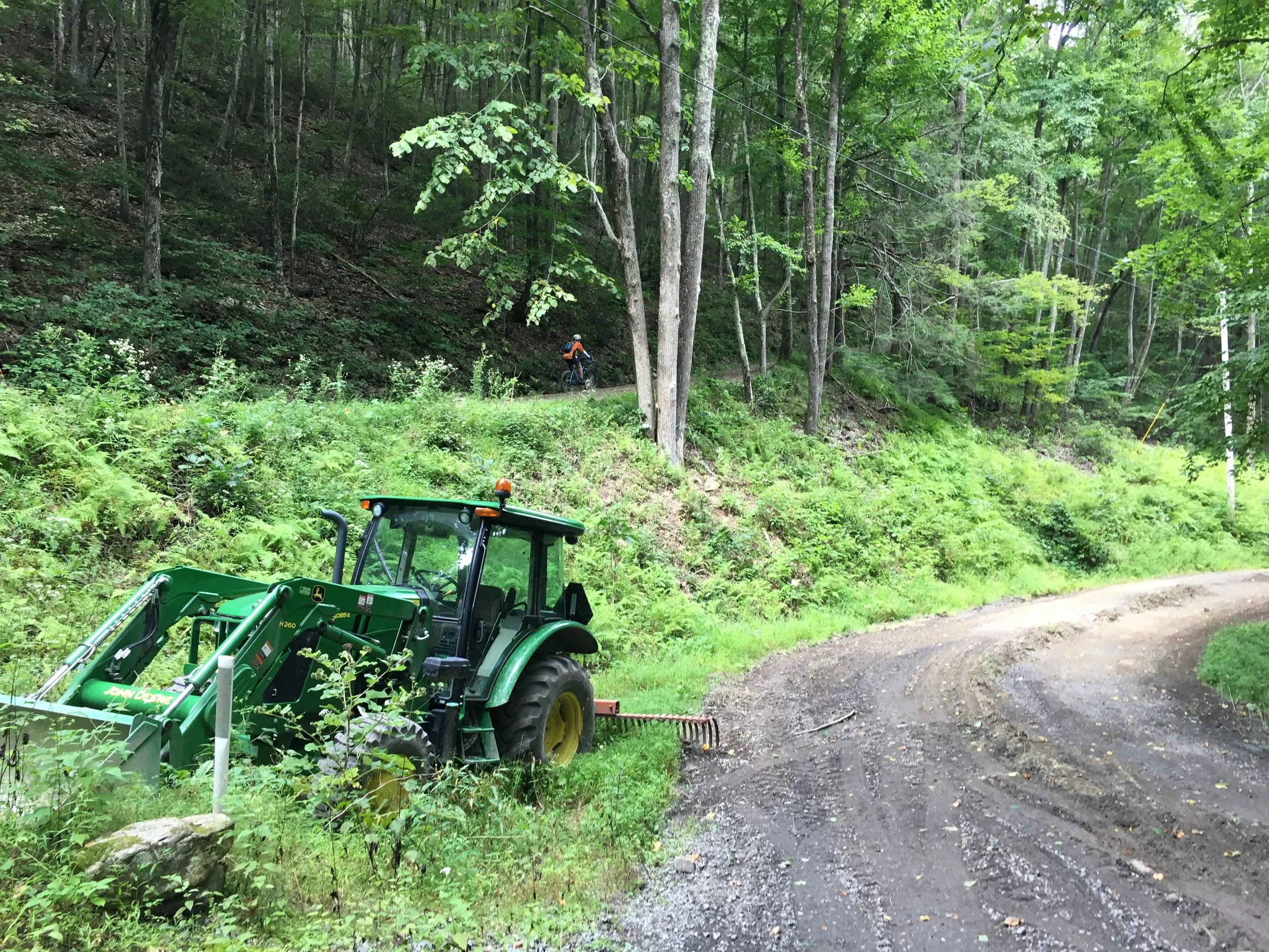
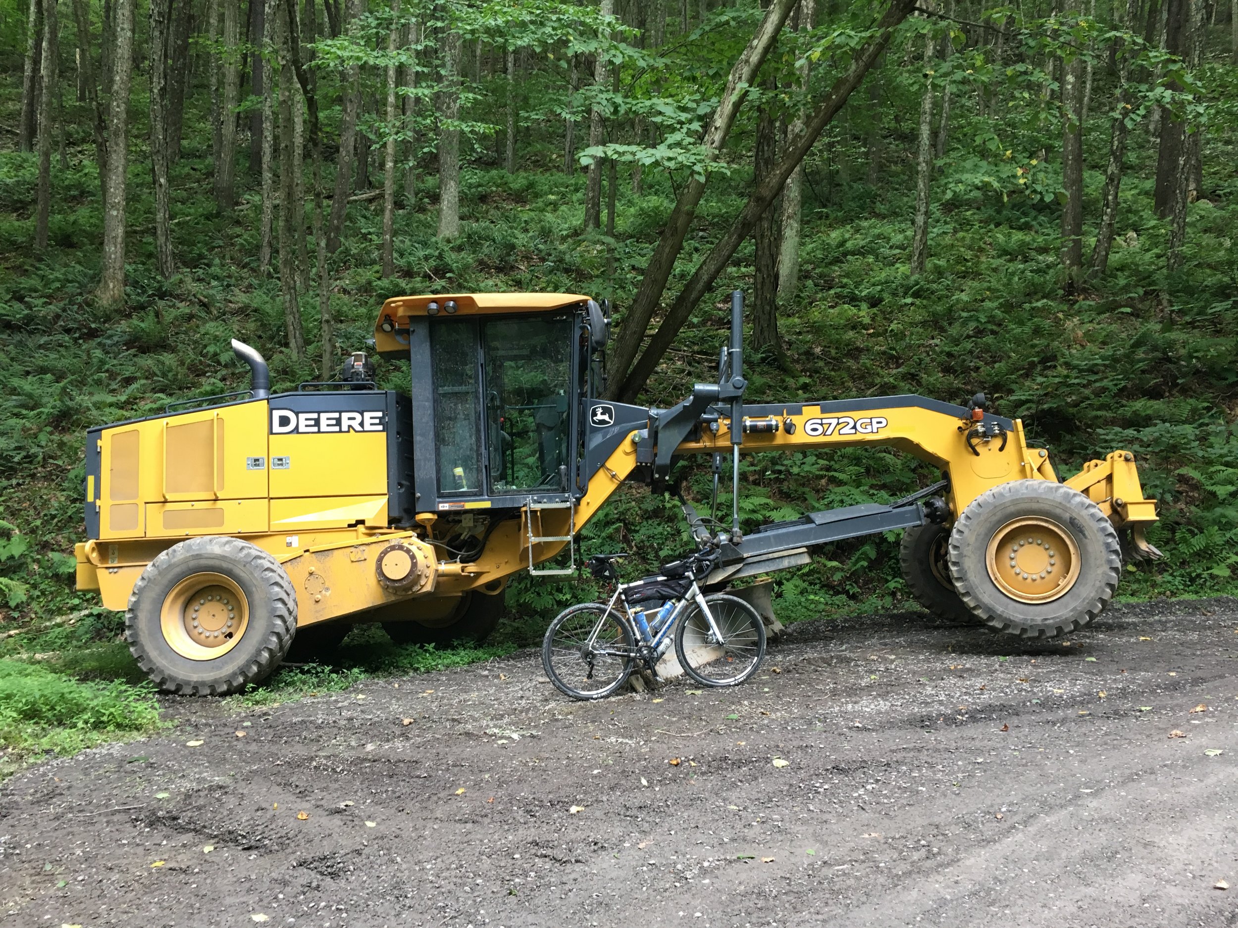
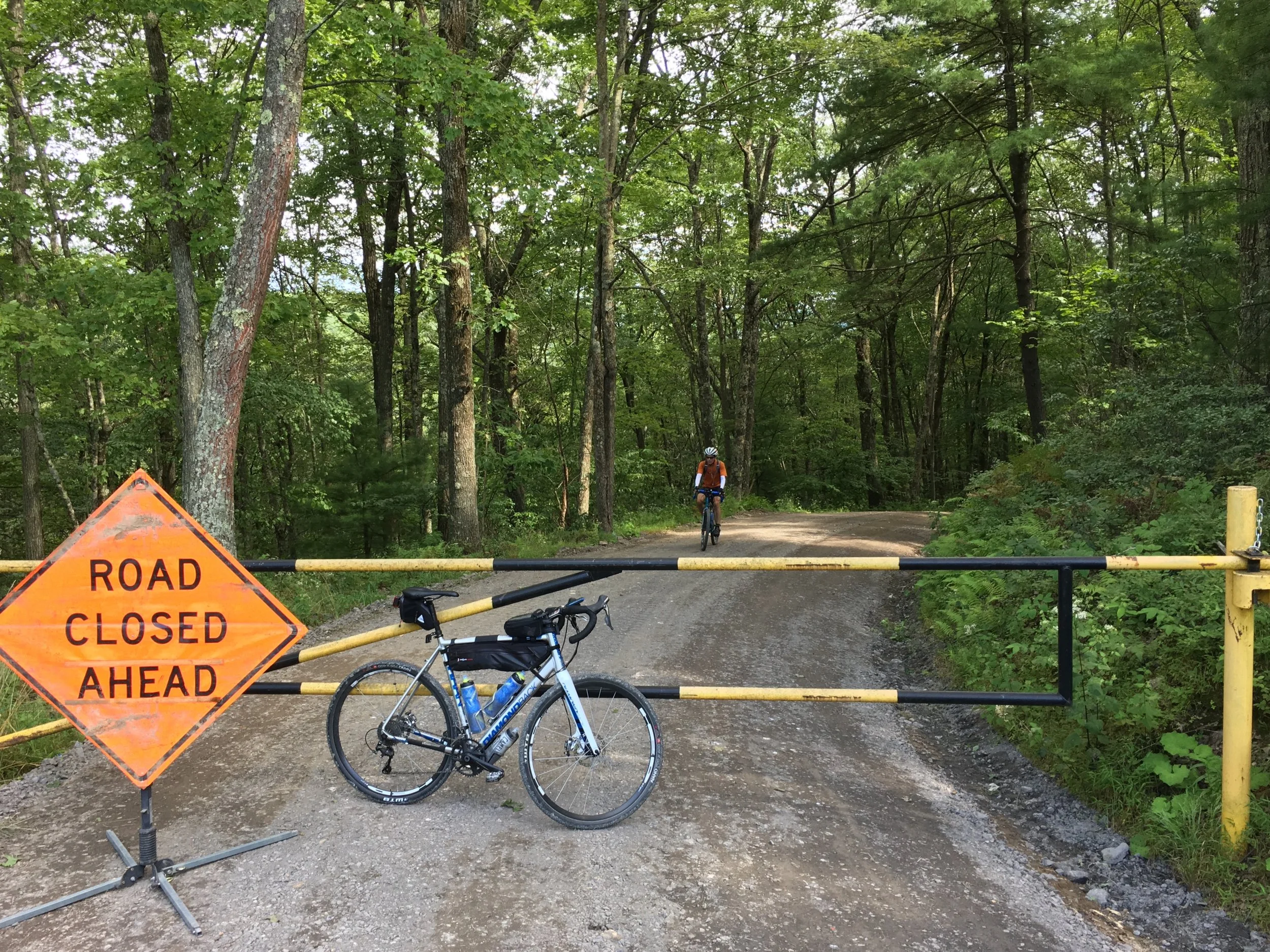
We headed up the paved road on the west side of the lake for a couple miles, then turned up gravel Schoolhouse Rd, only to be immediately met with a road closed sign. We went for it and discovered that the closure turned out to be due to some regrading of the road which meant soft surfaces and tractor tire imprints--tough going! After finishing that climb we elected to skip another section of very overgrown trail (ticks, anyone?) and added some miles to detour around it. No big deal, though, as the roads we took were fantastic hero gravel with a better downhill back to the valley. We hopped on the rail trail again (crushed limestone) and headed back toward Waterville.
At this point it was getting late and we needed to decide if daylight (or a desire to preserve our legs) would force us straight back to the car as there was no way we were finishing the whole route. We decided to keep riding and headed west up the third big climb of the day on Sinking Springs. This was perhaps the steadiest climb all day and I found I enjoyed it. The roads at the top were kind of a let down, though, the first being long and straight through a clearcut section of forest--boring. We got back on to paved roads and with the sun getting lower, decided to forego the remainder of the route (which we believed only had one gravel road left, and it would've been a downhill of unknown quality) and instead bomb back down to the car on PA-44. What fun! I've never done a descent like that where I never touched the brakes for miles and we probably averaged 25-30mph. We also didn't have a single car pass us! Great way to end the first day. Dinner back in Lock Haven at Main St Bar and Grill, which has an entire selection of mac n cheese dishes that we thoroughly enjoyed!
Day 2 - UnPAved West
55 miles, 5300 feet of climbing
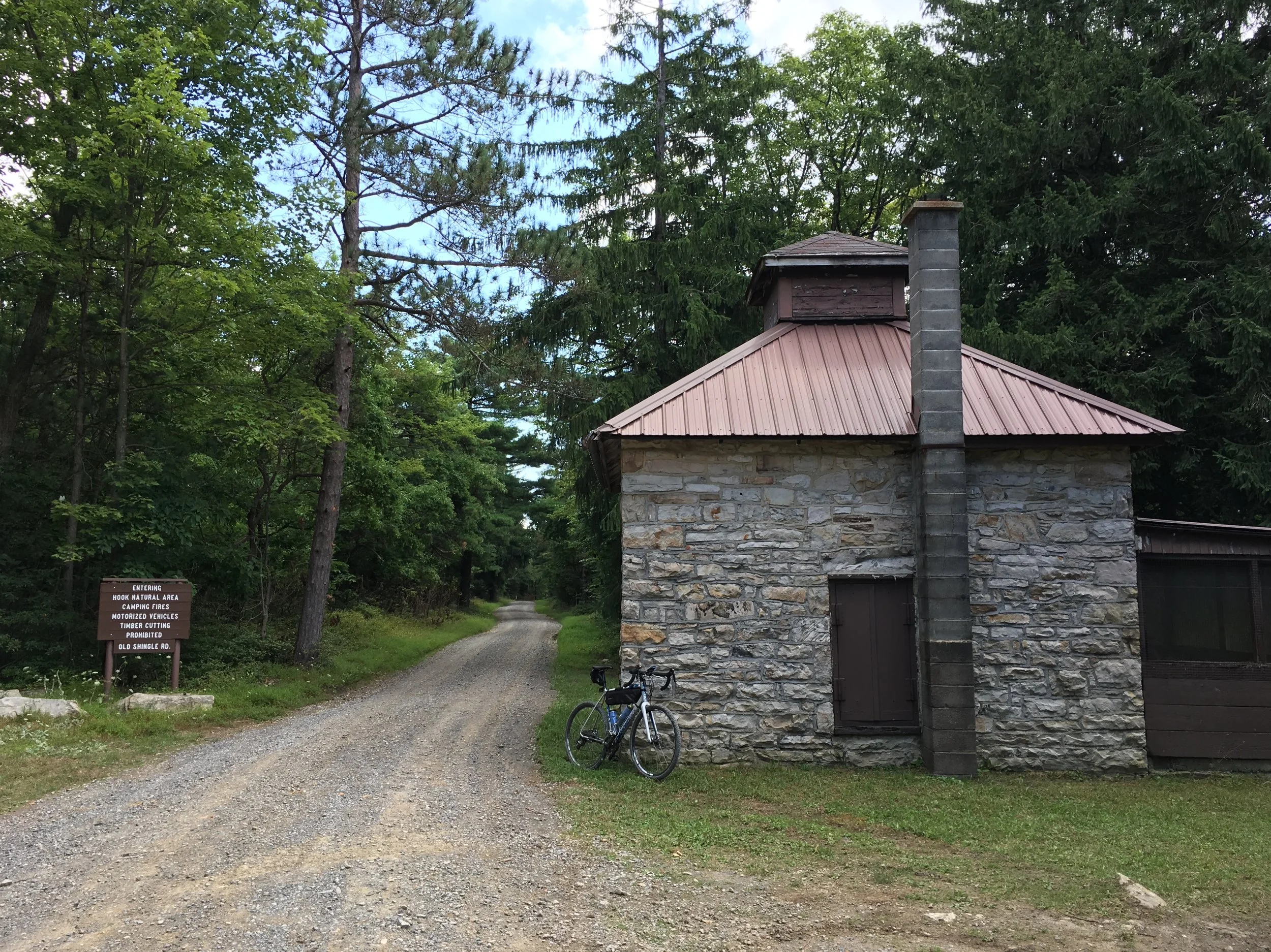
The plan this day was to do the westernmost portions of the UnPAved Full route through Bald Eagle State Forest. We parked at the little community park in tiny Coburn and started with a bit of pavement. We hit the first gravel climb pretty quickly, but almost as quickly were rewarded with our first scenic vista, which was nice. We descended into Poe Paddy St Park and filled bottles, then headed out for another climb. It still shocks me how low the elevation numbers seem for the trip; I would've guessed we were well over 100ft/mi each day, but we were right in that range. I guess I'm just not used to having miles long climbs balanced out by miles long descents!
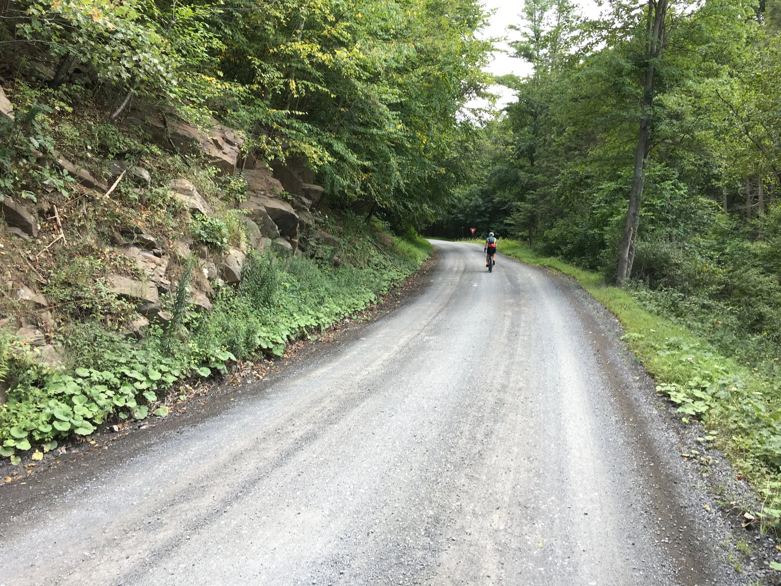
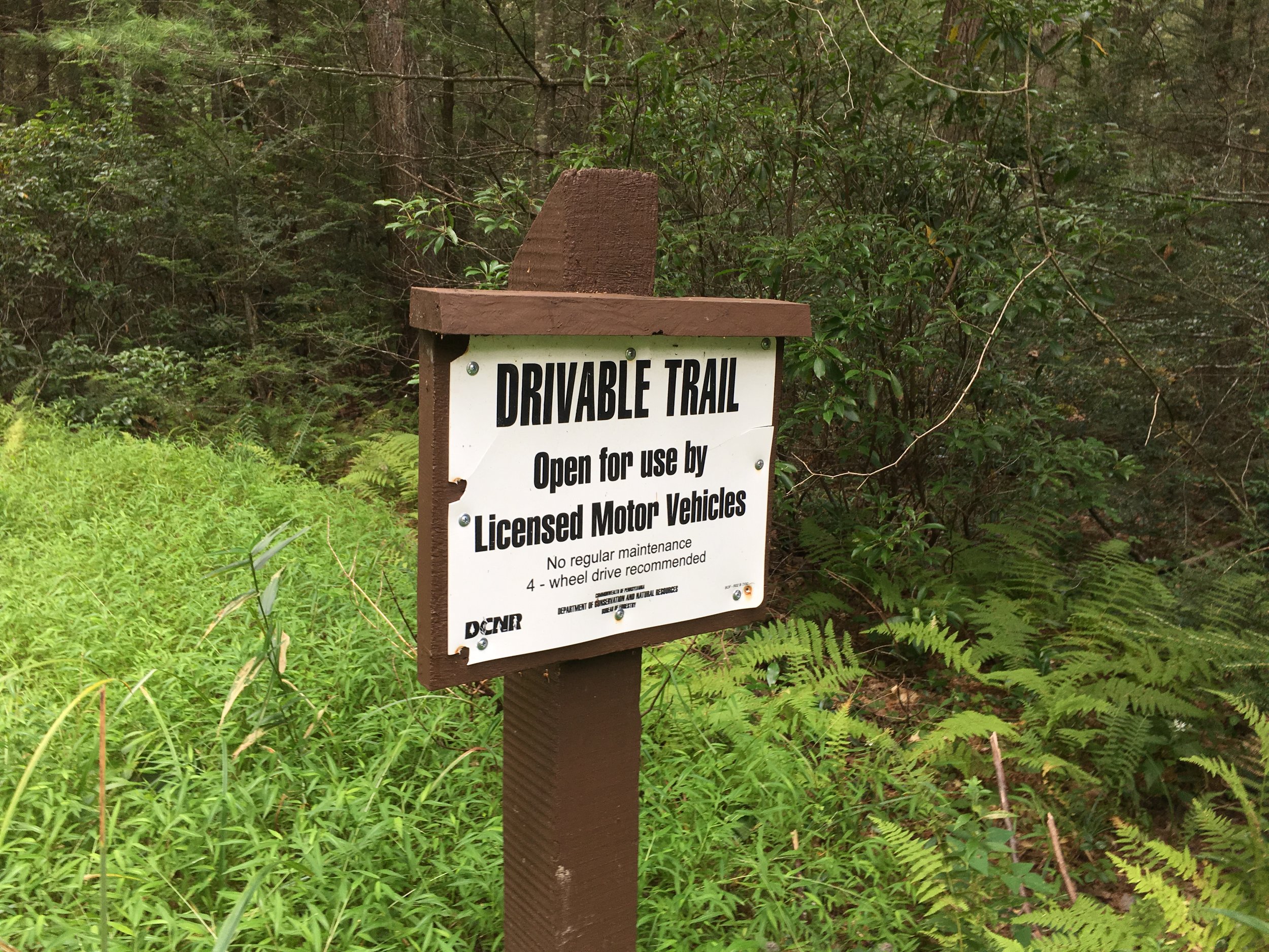
The roads in Bald Eagle State Forest were generally quite nice--lots of hero gravel and hardpack. As we got to the farthest point of the route, though, we decided to start shortcutting (we had started late due to some mechanical issues requiring trips to two different bike shops) and this is where things went south. Even though the signage said 4WD was only "recommended" Stone Mountain Road proved to be quite technical and challenging. We crawled up the climb and down the descent, as both were strewn with large, loose rocks kicked up by motorcycles and ATVs. It was a bit demoralizing. After rejoining the race route and backtracking to Poe Paddy we had to decide again: keep backtracking and face a 1000+ foot climb back to the car, or gamble and cross the river on the one remaining bridge (formerly railroad, now rail trail) and see what the eastern side of things yielded. We decided for the latter, even though we had no idea of the distance (I guesstimated at 15; a park ranger thought 6!) and daylight was waning.
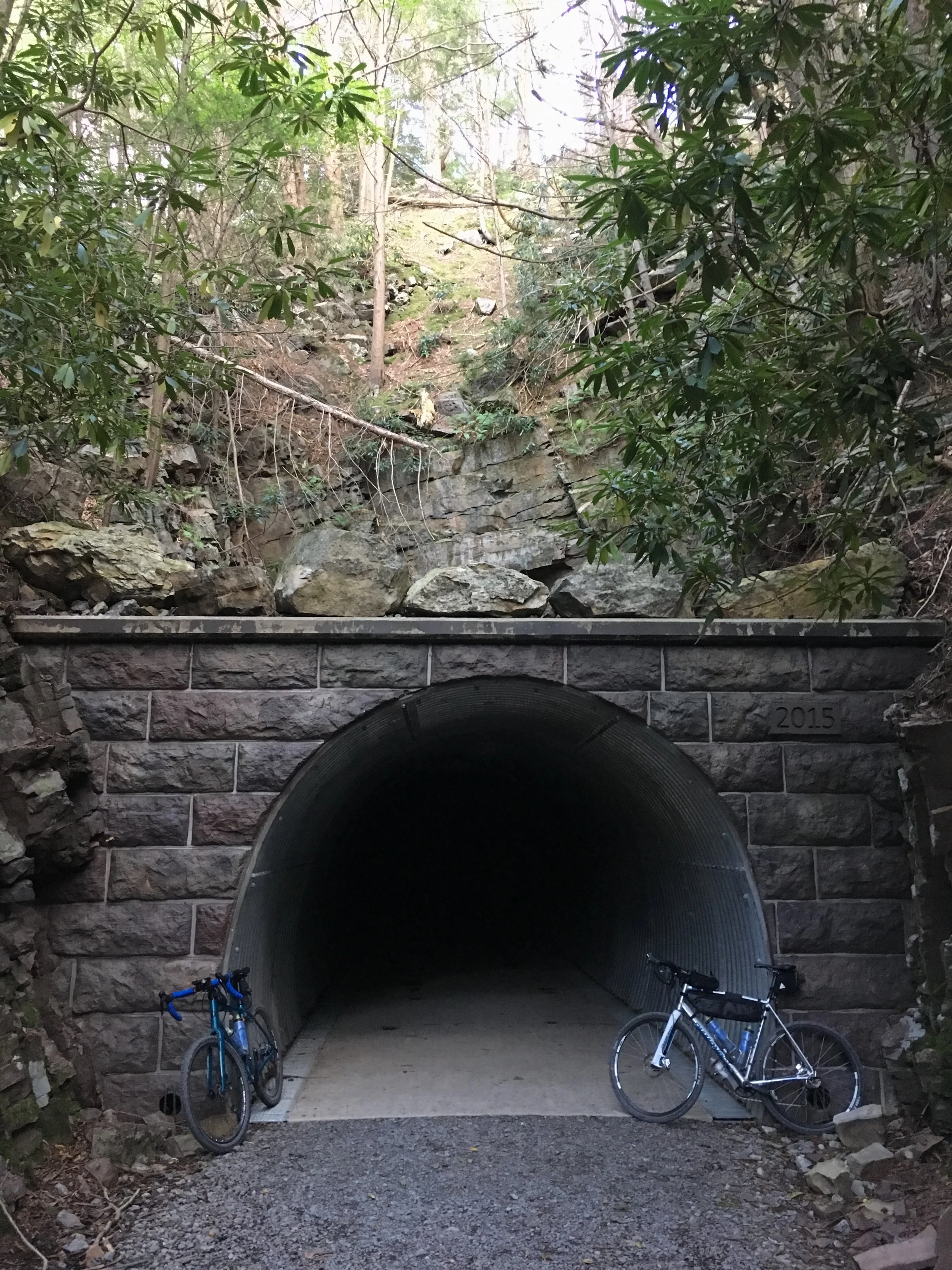
We crossed the old bridge (pretty river, but no trestle or anything) and went through the tunnel (nicely restored, but disappointingly short) and quickly completed the rail trail segment. Rejoining gravel roads, we thought we'd be ok, as the Purple Lizard map had them all categorized as regular gravel, no double-track, etc. Wrong. After only a few miles we turned on to a much rockier road and started climbing--slow going again! A quicker descent thankfully followed, but more surprises awaited! We came across unexpected gates (misread the map) and private property, and were bummed to discover the last climb, which was supposed to be paved, was not. Finally we rejoined the paved road back into Coburn and made it back to the car as the sun was setting. This was a super tough day mentally. Dinner back in Lock Haven at Broken Axe Brewhouse.

Day 3 - UnPAved Central
https://ridewithgps.com/trips/39171028
24 miles, 2500 feet of climbing
For our last day we checked out some of the central sections of the UnPAved course between Mifflinburg and Woodward, though riding them in the opposite direction of the event in order to remove what looked like a nasty 1200’+ climb. We parked at an almost non-existent trailhead lot and headed out. I apparently had not paid close enough attention when planning the route the night before, as we almost immediately started with a serious climb! In some ways this was the hardest climb we did all weekend. Even though it wasn't nearly as long, the gradient was by far the worst (much more Ohio-like, in fact).
This was followed by yet another tremendously long downhill where we passed three riders coming up, the leader in an UnPAved jersey. Thanks to Strava's FlyBy feature, we later determined they were prepping for the 90-mile route and did nearly the same loop we did, though in the opposite direction! The descent unfortunately changed surface conditions once we turned on to Brandon Rd. It was not like anything we'd seen so far. Large rocks at all angles embedded into hardpacked dirt, sticking out just enough (and every so often loose as well) as to cause you to have to slow down for fear of flats. Another descent spent on the brakes, destroying any chance to bring our speed up... :(
Never mind that, though, as this was probably the prettiest of the three routes, with lots of scenic vistas and many very nice roads. Other than the descent previously noted, there was a lot of hero gravel and after a nice sustained climb we got into rollers that were tons of fun. We screamed down one at over 30mph. A long, barely there climb led us back to the car. After a stop in Raymond B Winter State Park to have a hobo shower in the frigid rinse off station at the beach (we were hoping for actual showers, but no luck) we began the long drive home.